Elevation of 24 Sunview Pl, Boaz, AL, USA

Location: United States > Alabama > Etowah County > Boaz >

Longitude: -86.12341

Latitude: 34.231371

Elevation: 297m / 974feet

Barometric Pressure: 98KPa

Elevation Map:

elevation map of 24 Sunview Pl, Boaz, AL, USA

Satellite Map:

Satellite map of 24 Sunview Pl, Boaz, AL, USA

Related Photos:

pictures auto old november trees urban abandoned overgrown strange graveyard car danger trash forest vintage found lost other junk rust automobile industrial view unitedstates pics decay unique alabama neglected shed rusty best business explore burn stop burnt forgotten vacant boaz shack junkyard mountainside hillside wreck oldcars deserted abandonment burned slum dilapidated donotenter vintagecars notrespassing photog otherside 2014 salvageyard tresspass attalla ingrammotors jennyferfaithhope hayfielsauto
Alabama "vintage car graveyard" abandoned automobiles
pictures auto old november trees urban abandoned overgrown strange graveyard car trash forest vintage found lost other junk rust automobile industrial view unitedstates pics decay unique alabama neglected shed rusty best business explore burn stop burnt forgotten vacant boaz shack junkyard mountainside hillside wreck oldcars deserted abandonment burned slum dilapidated donotenter vintagecars notrespassing photog otherside 2014 salvageyard tresspass attalla jennyferfaithhope hayfielsauto
Alabama "vintage car graveyard" abandoned automobiles
pictures auto old november trees urban abandoned overgrown strange graveyard car danger trash forest vintage found lost other junk rust automobile industrial view unitedstates pics decay unique alabama neglected shed rusty best business explore burn stop burnt forgotten vacant boaz shack junkyard mountainside hillside wreck oldcars deserted abandonment burned slum dilapidated donotenter vintagecars notrespassing photog otherside 2014 salvageyard tresspass attalla ingrammotors jennyferfaithhope hayfielsauto
Alabama "vintage car graveyard" abandoned automobiles
old tractor ford canon alabama 10d canon10d
Old Tractor
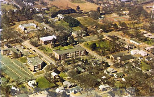
history college al alabama aerialphoto communitycollege masterplan facilityplan sneadstate
Snead State Community College, aerial view
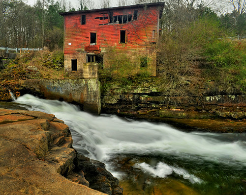
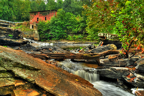
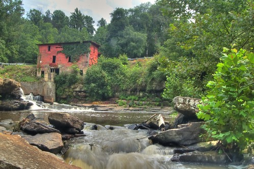
Red Mill
hdr redmill marshallcounty albertvillealabama martlingroad scarhamcreek alabamawaterfallssandmountain
Red Mill
nature colors architecture buildings river landscape landscapes nikon colours country alabama gadsden
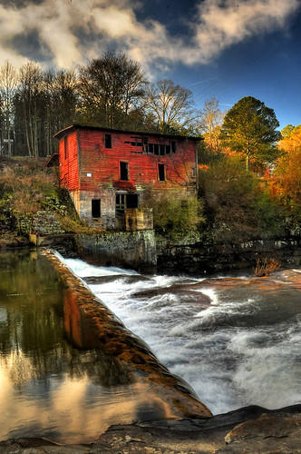
Rapids and Red
sandmountain redmill marshallcounty alabamawaterfalls albertvillealabama martlingroad scarhamcreek
Red Mill
redmill marshallcounty doublebridges albertvillealabama scarhamcreek martingroad sandmountainhdr alabamathebeautifulsandmountain
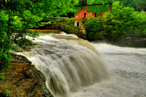
Scarham Creek
water d50 waterfall nikon decay ruin hdr redmill marshallcounty albertvillealabama scarhamcreek thewaterfallhunterakahoganfann loriwalden
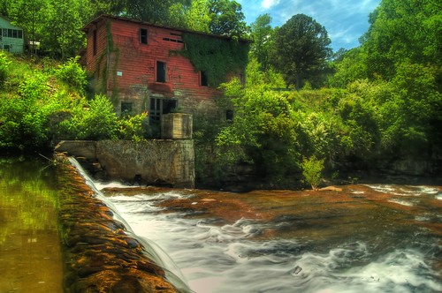
Red Mills and Blue Skies
redmill marshallcounty doublebridges albertvillealabama martlingroad scarhamcreek redmillfalls
Red Mill
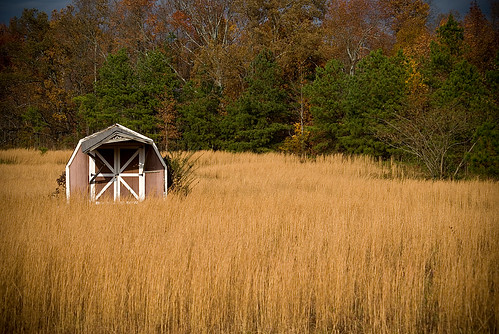
trees fall field grass barn golden amber waves country grain shed potd
A Solitary Place
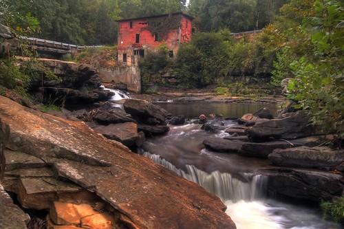
waterfall hdr ruraldecay gristmill sandmountain redmill marshallcounty doublebridges albertvillealabama martlingroad scarhamcreek
The Red Mill
travel hills fields roads 2013tour
Seeking Curves II