Elevation of Bluff St, Banning, CA, USA
Location: United States > California > Riverside County > Banning >
Longitude: -116.91137
Latitude: 34.0053144
Elevation: 1272m / 4173feet
Barometric Pressure: 87KPa
Elevation Map:
Satellite Map:
Related Photos:

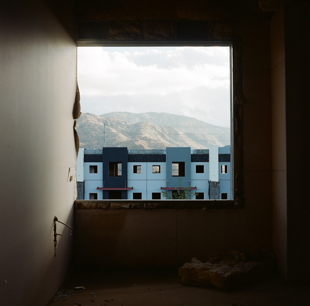
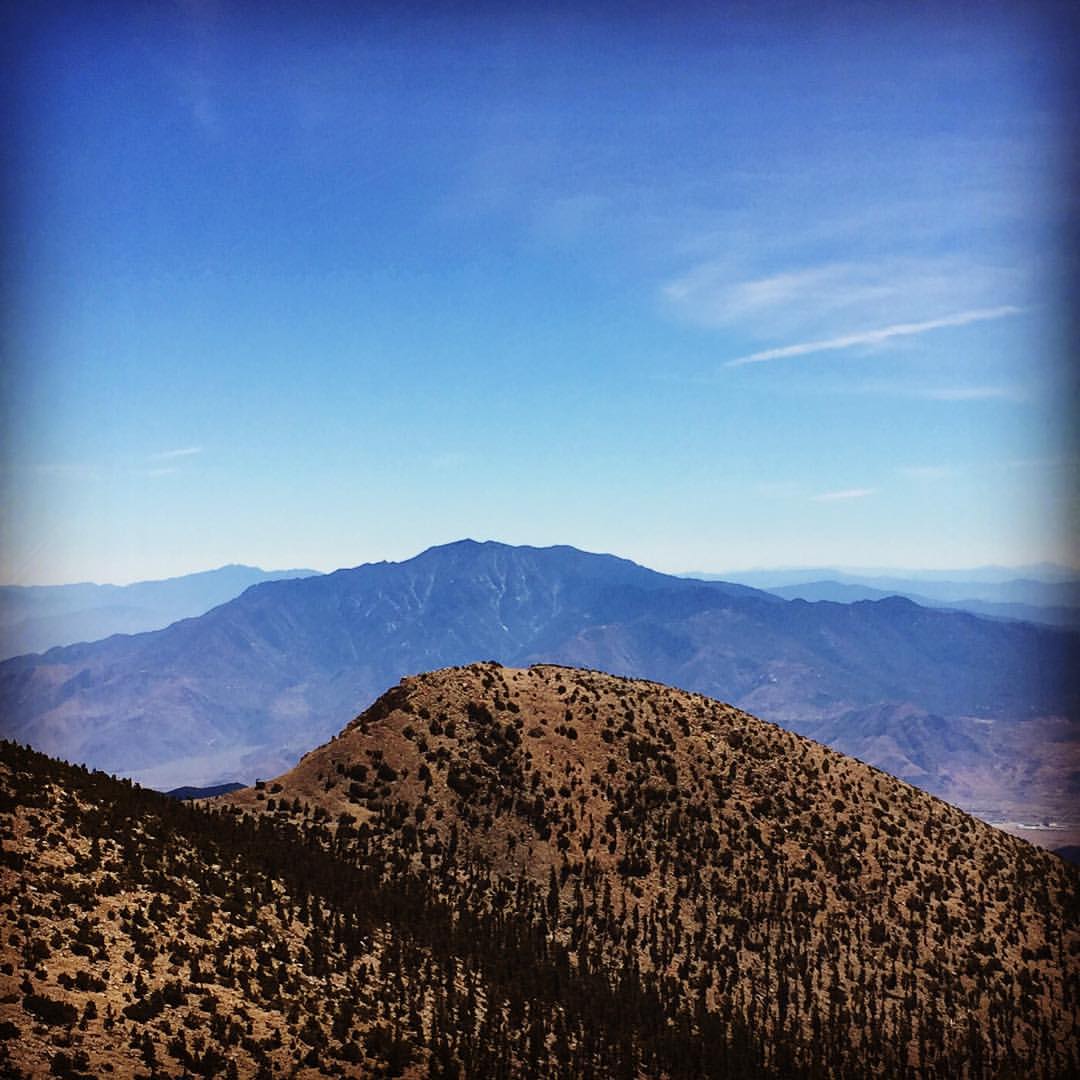
View from Buff Rd LE
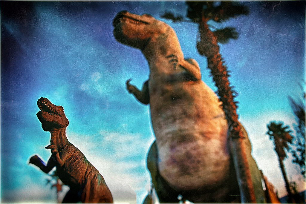
Auditioning For Godzilla
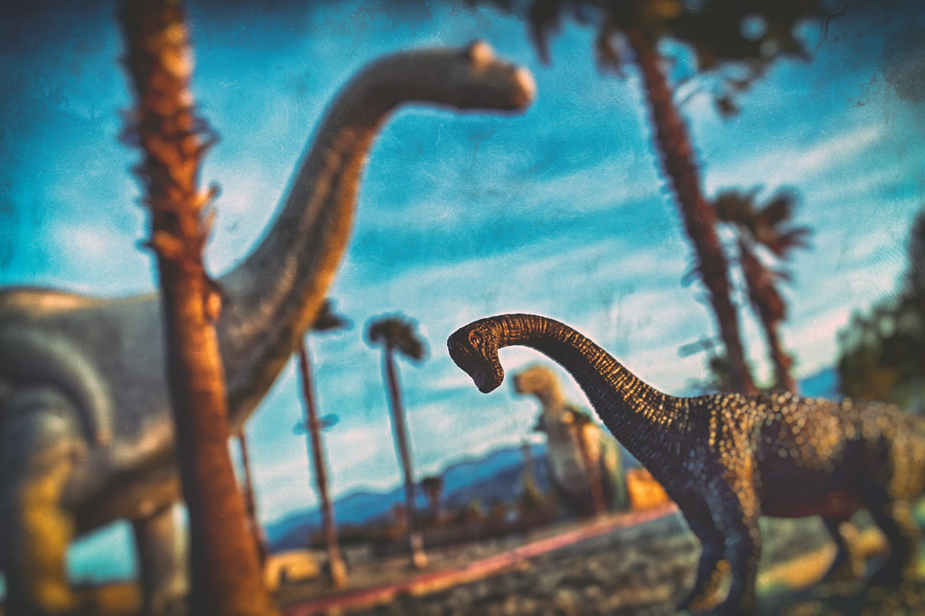
Trends Gone Bad
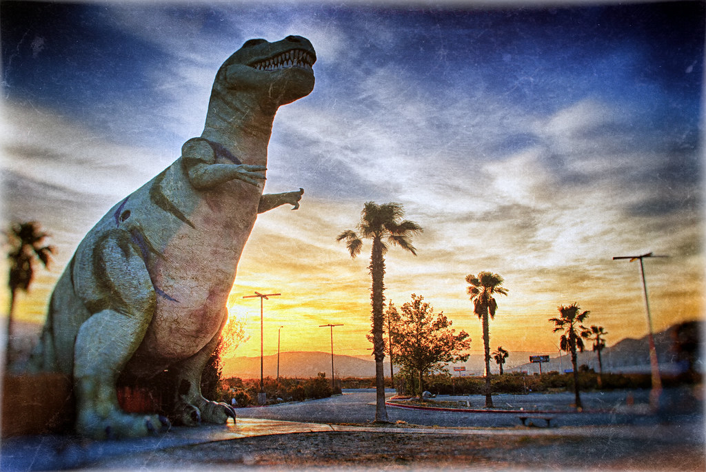
65 Million Years Ago

Burn Baby Burn
.

the view from here [7:52]
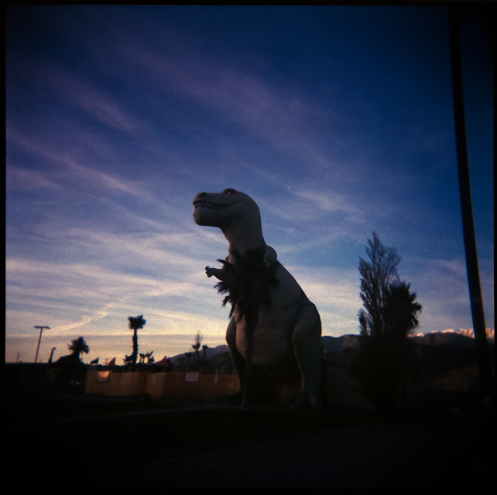
The Red Eye of Rexie

.
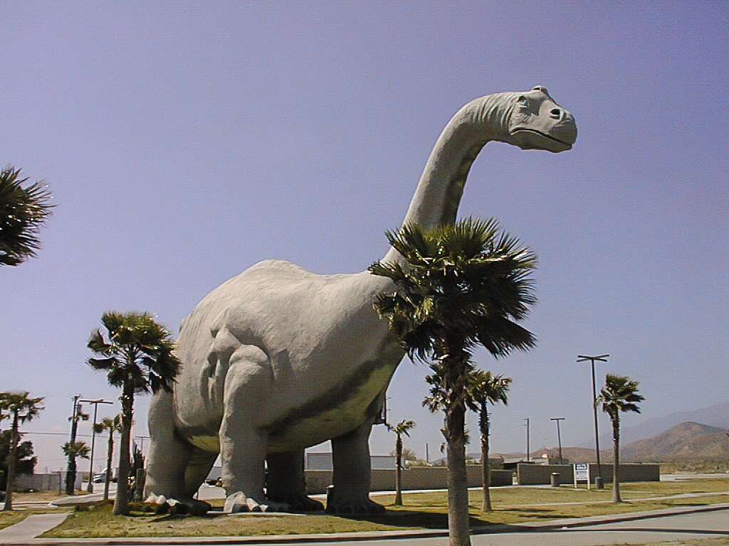
Dinosaurs 2003

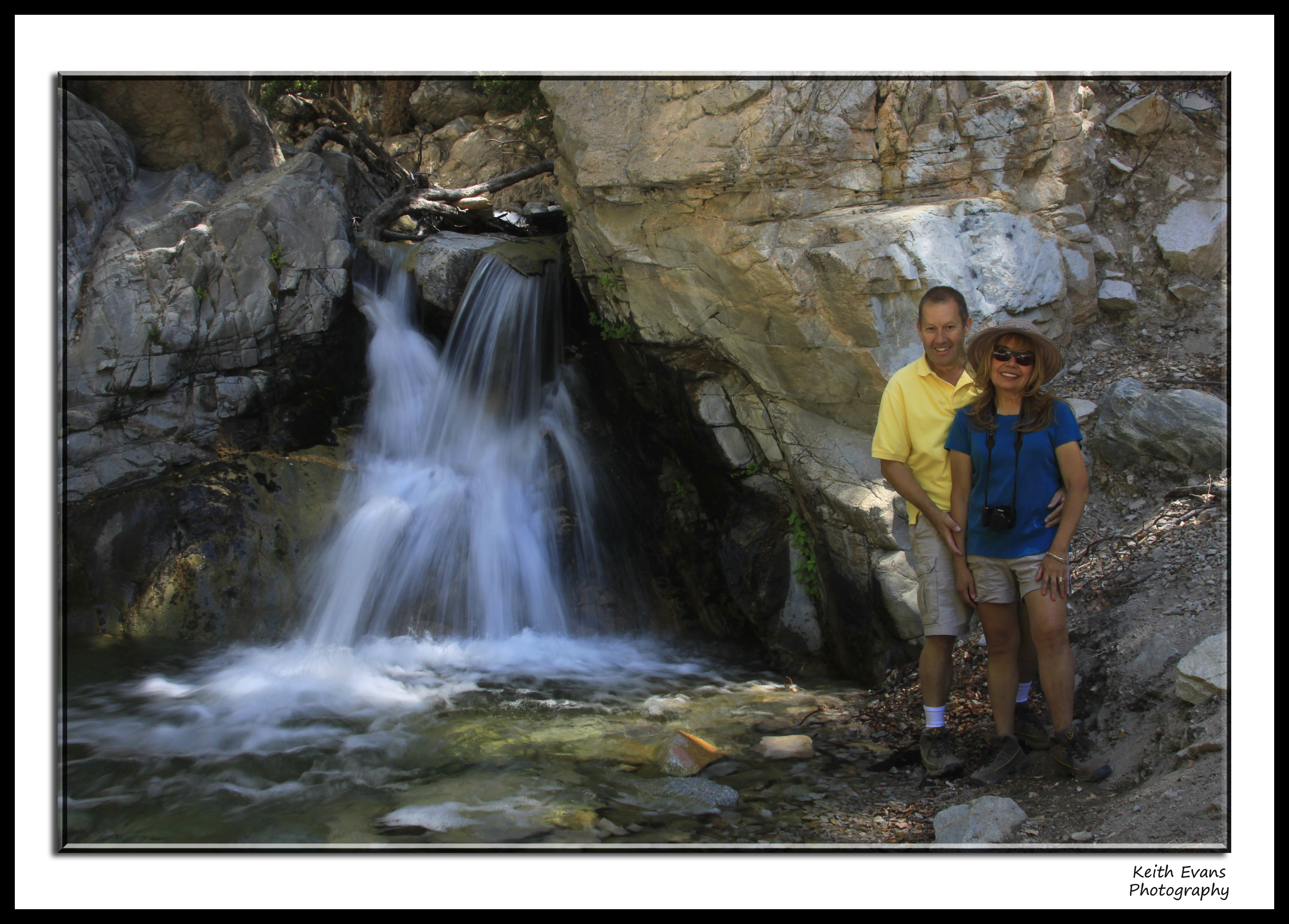
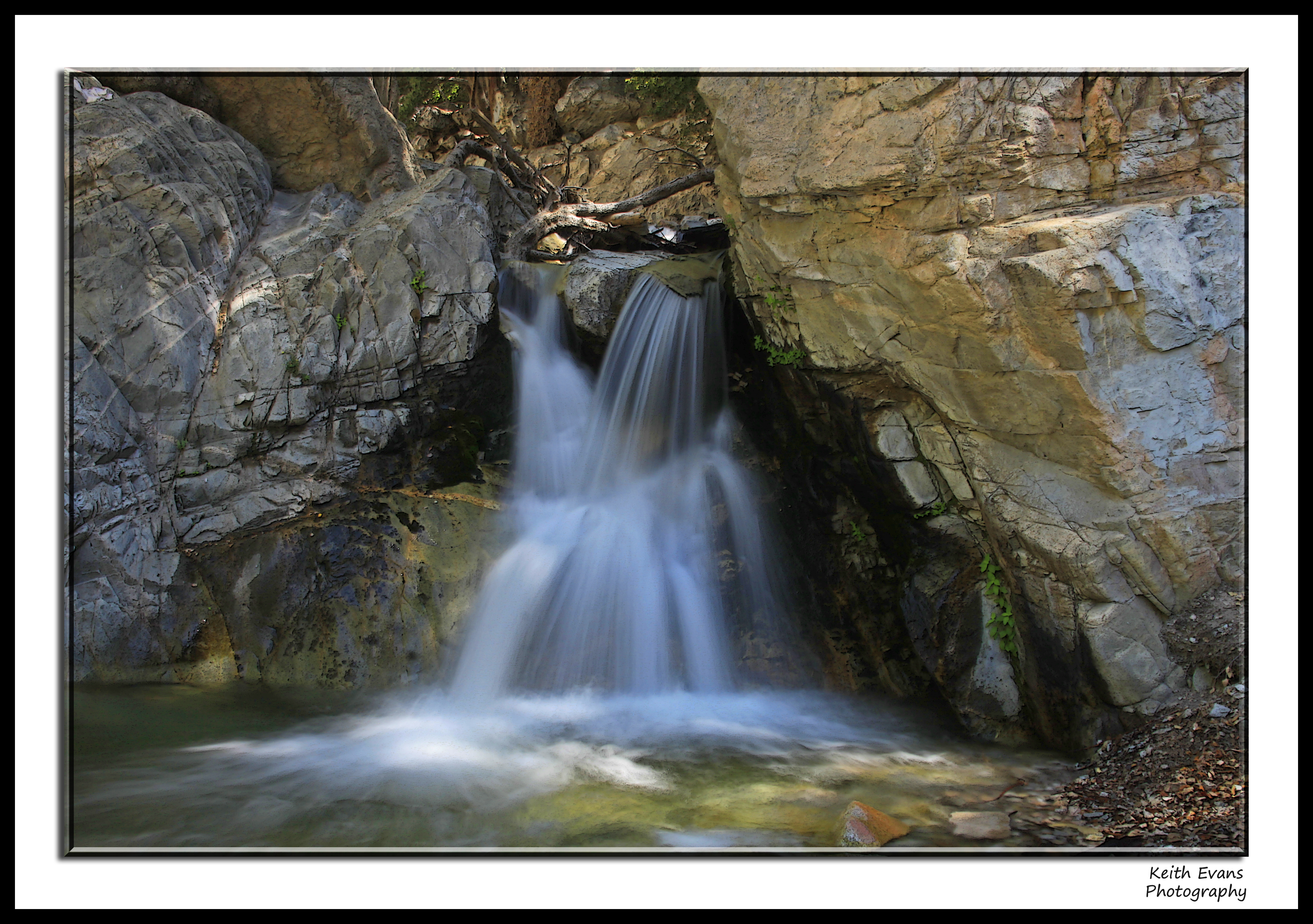
Big Falls Creek Long Exposure

Bogart Park_0068

Big Falls Stream - Forest Falls, CA, USA
Oak Glen Harvest Time 11-10-12
Winding Road up Morton Peak
Bogart Park_0058

Bogart Park_0041

Morongo Casino, Resort & Spa

135 View across the way of the upper Yucaipa Ridge on the Momyer Trail

Bogart Park_0059
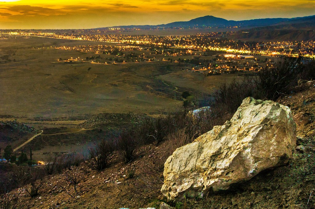
Sunset View 243

Twilight Rocks and Stream

Yucaipa/Mentone Fire

Mill Creek and Storm III

oak glen reflection
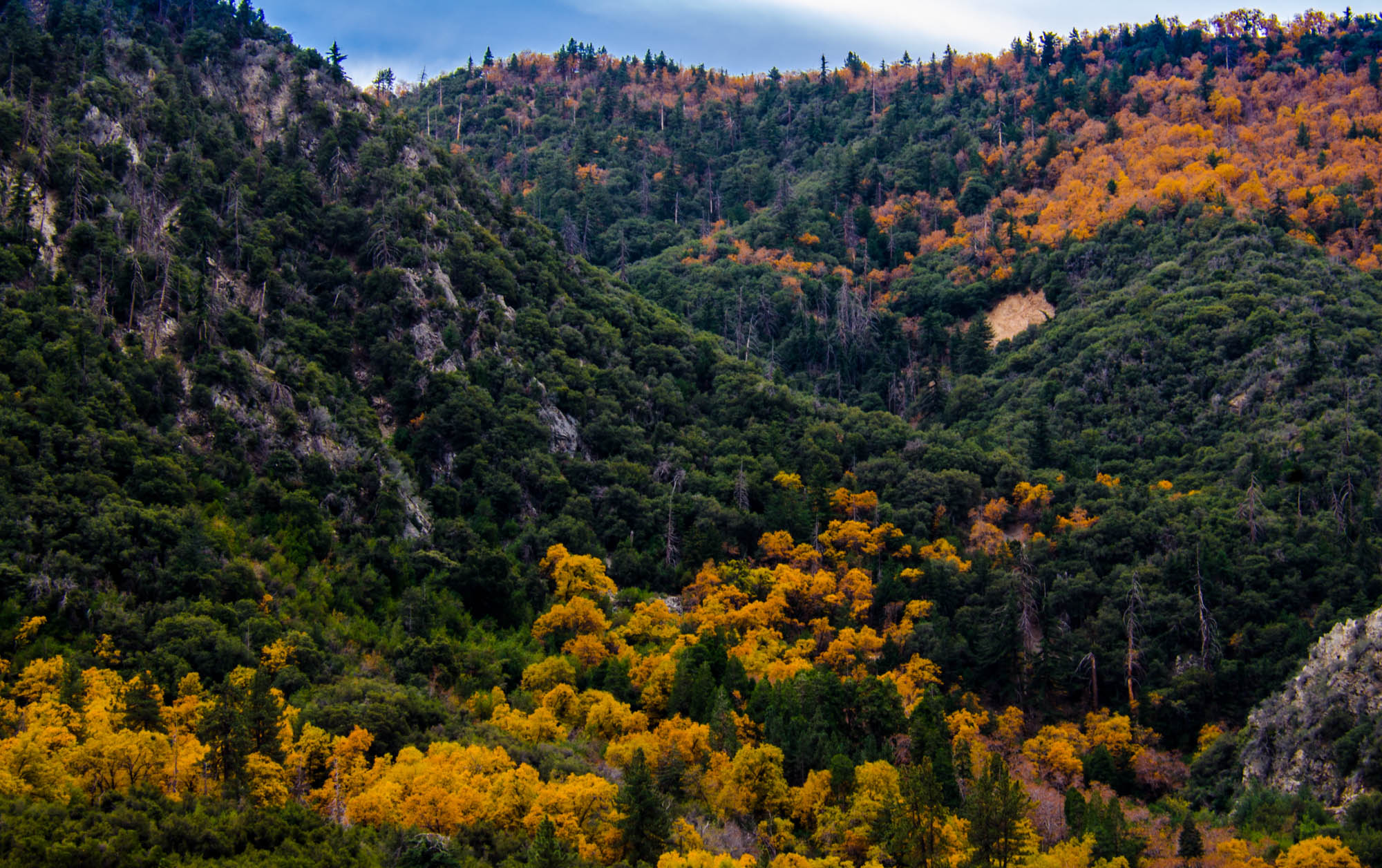
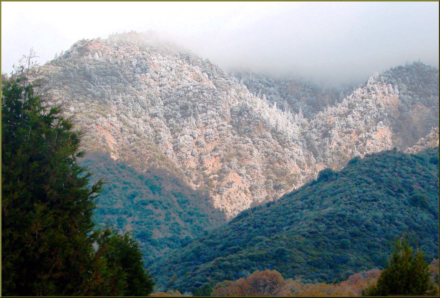
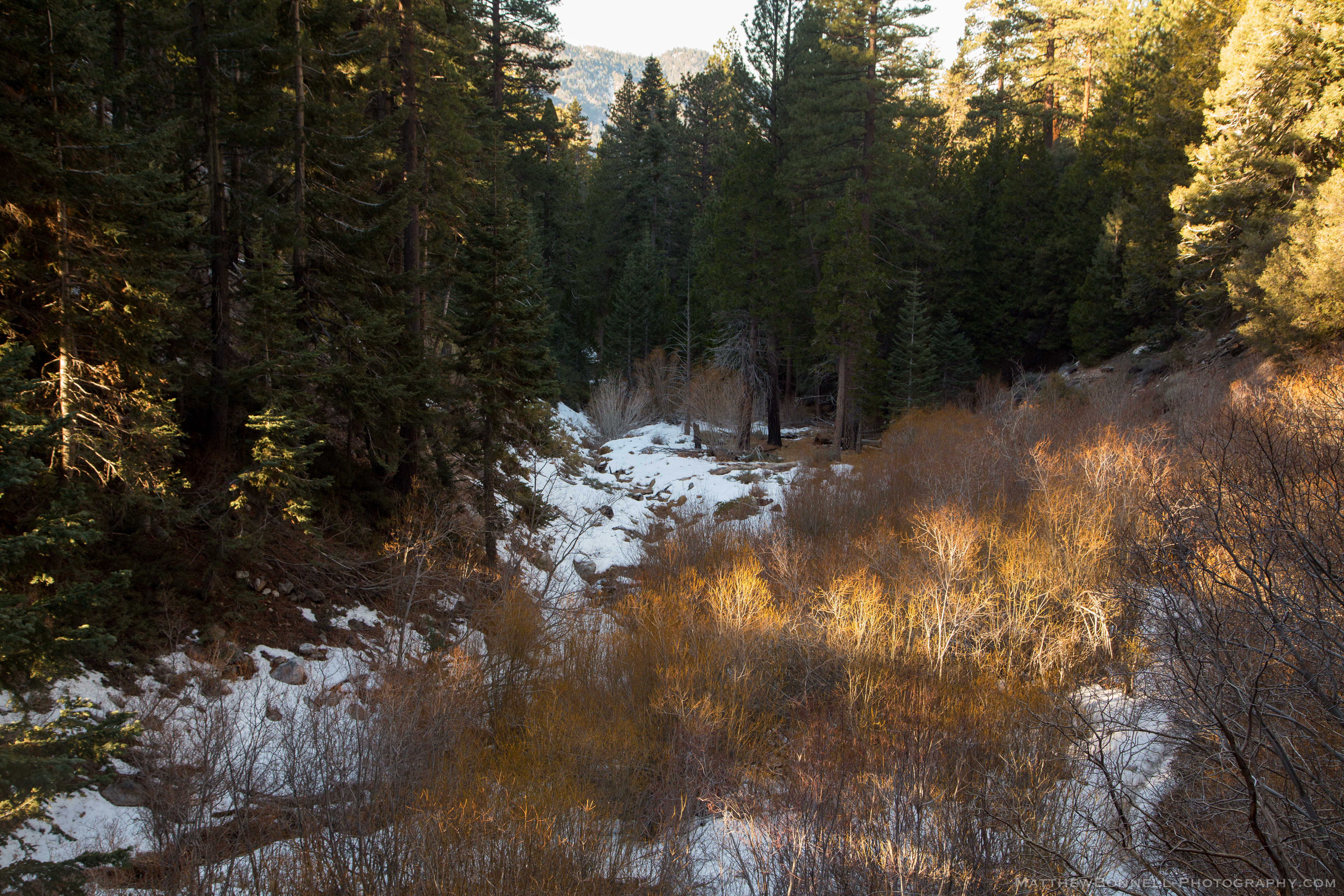
Orange and Green - San Bernardino National Forest, CA, USA
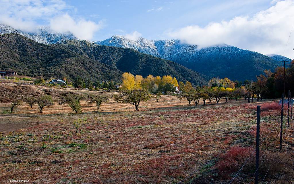
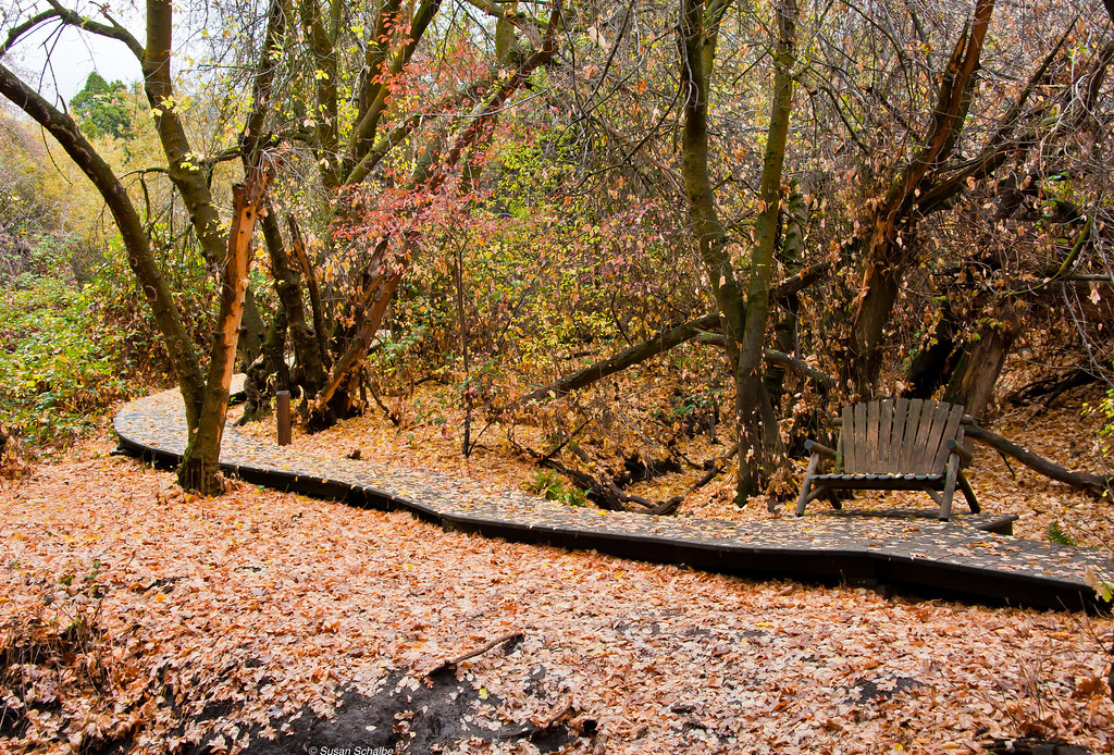
Autumn day in apple country
#hiking #camping #backpacking #adventure #outdoors #outdoor #nature #travel #naturalbeauty #trails #cali #hikerchat #52HikeChallenge #trailchat #amazing #awesome #mountains #skyline #sanjacinto

Reach - Forest Falls, CA, USA

Snow Creek
FF 010
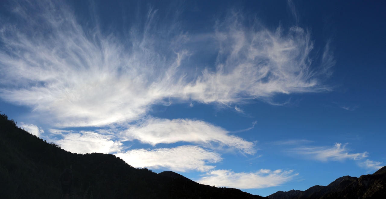
078 High cirrus clouds looking awesome in the morning light
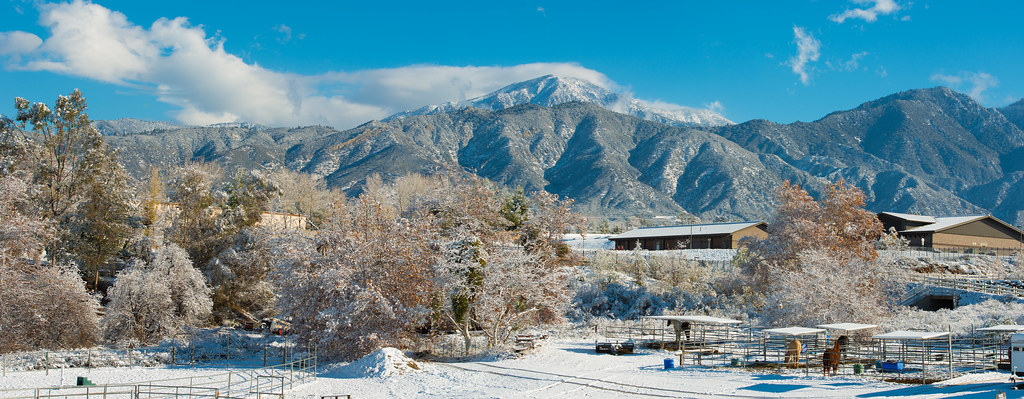
Yucaipa Morning Snow Dust

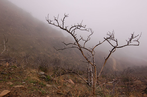
Branches Leading Down to a Small Bush

IMG_7307.jpg
FF 008
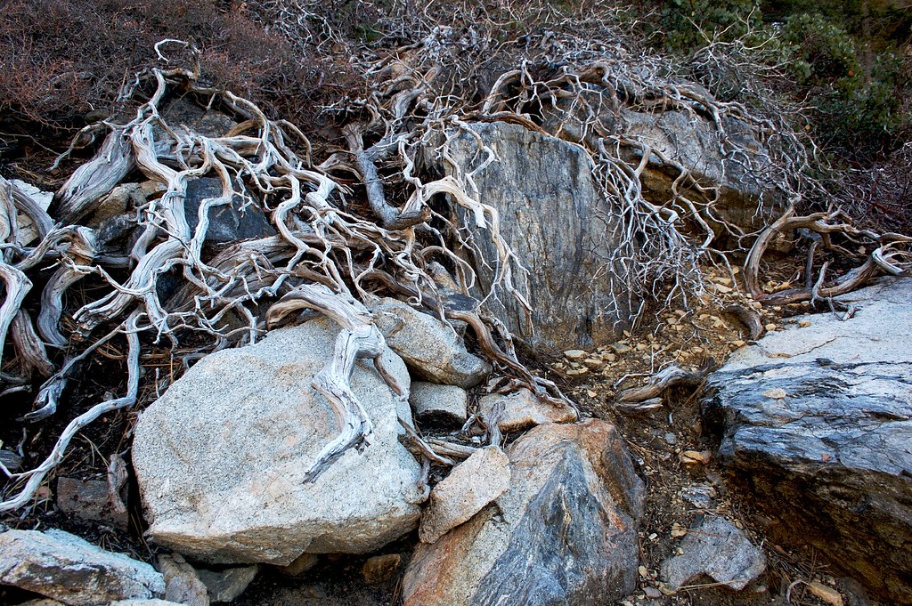
Branches and Stones
Autumn leaves
IMG_5764.jpg

Mill Creek Storm Sunset
Topographic Map of Bluff St, Banning, CA, USA
Find elevation by address:

Places near Bluff St, Banning, CA, USA:
8905 Bluff St
8905 Bluff St
Banning Bench
10245 Bluff St
10245 Bluff St
Pine Bench Road
11951 Oak Glen Rd
41120 Ute Trail
Los Rios Rancho
10448 Chisholm Trail
8760 Camino Del Norte
Oak Glen Road
Oak Glen Road
9089 Whispering Pines Rd
Highland Springs Resort
Serendipity Garden Weddings
12865 Oak Glen Rd
9446 Ave Altura Bella
40626 Dutton St
10640 Bel Air Dr
Recent Searches:
- Elevation of Corso Fratelli Cairoli, 35, Macerata MC, Italy
- Elevation of Tallevast Rd, Sarasota, FL, USA
- Elevation of 4th St E, Sonoma, CA, USA
- Elevation of Black Hollow Rd, Pennsdale, PA, USA
- Elevation of Oakland Ave, Williamsport, PA, USA
- Elevation of Pedrógão Grande, Portugal
- Elevation of Klee Dr, Martinsburg, WV, USA
- Elevation of Via Roma, Pieranica CR, Italy
- Elevation of Tavkvetili Mountain, Georgia
- Elevation of Hartfords Bluff Cir, Mt Pleasant, SC, USA