Elevation of Birecik, Şanlıurfa, Turkey
Location: Turkey > Şanlıurfa > Birecik >
Longitude: 37.977476
Latitude: 37.024993
Elevation: 349m / 1145feet
Barometric Pressure: 0KPa
Related Photos:

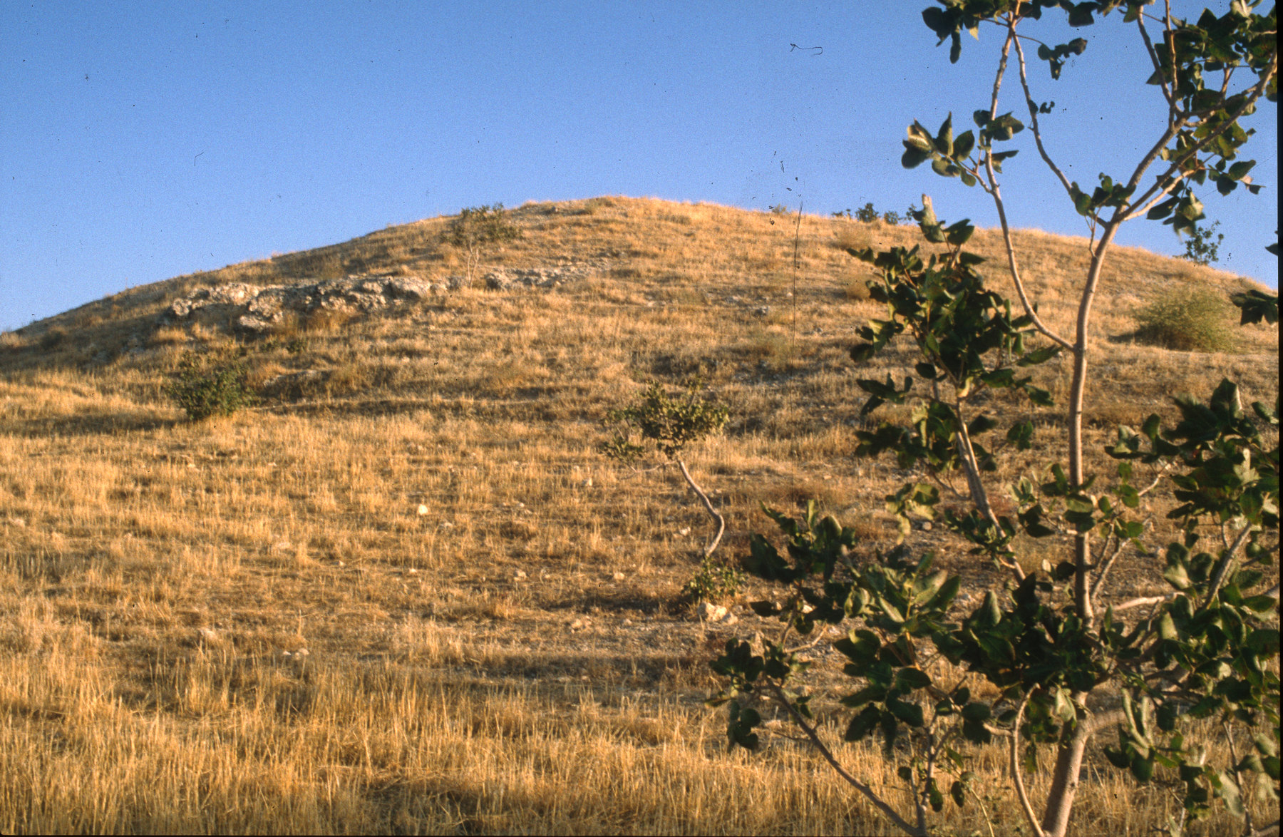
Birecik

Balkis/Zeugma

Lunchtime reflections along the Euphrates -- #birecik #turkey #tccumhurbaskanligi #turkiyeodalarveborsalarbirligi #comeseeturkey @comeseeturkey

HALFETİ21

#birecik #euphrates #firat #iphoneonly #gezsenanadoluyu #sunset #anatolia #sky #instadaily #cloudporn

batarken güneş ardında birecik'in . . . mart, 2015

Birecik'te günbatımı #iphoneonly #nofilter #firat #birecik #gezsenanadoluyu

From the bridge over the Euphrates

Ayran Kasabasi_2

Ayran Kasabasi_3

Balkis/Zeugma
Balkis/Zeugma

Great Reed-Warbler (Trastsångare) - Birecik, Turkey

fırat nehri

From the bridge over the Euphrates

Balkis/Zeugma

Balkis/Zeugma

Balkis/Zeugma

Balkis/Zeugma

Balkis/Zeugma

Balkis/Zeugma

Balkis/Zeugma
Topographic Map of Birecik, Şanlıurfa, Turkey
Find elevation by address:

Places near Birecik, Şanlıurfa, Turkey:
Birecik
Kobane
Kobani
Adıyaman University (ady Is)
Adıyaman Merkez
Şanlıurfa
Adıyaman Province
Akçakale
Kâhta
Kayadibi Köyü
Şanlıurfa
Recent Searches:
- Elevation map of Litang County, Sichuan, China
- Elevation map of Madoi County, Qinghai, China
- Elevation of 3314, Ohio State Route 114, Payne, Paulding County, Ohio, 45880, USA
- Elevation of Sarahills Drive, Saratoga, Santa Clara County, California, 95070, USA
- Elevation of Town of Bombay, Franklin County, New York, USA
- Elevation of 9, Convent Lane, Center Moriches, Suffolk County, New York, 11934, USA
- Elevation of Saint Angelas Convent, 9, Convent Lane, Center Moriches, Suffolk County, New York, 11934, USA
- Elevation of 131st Street Southwest, Mukilteo, Snohomish County, Washington, 98275, USA
- Elevation of 304, Harrison Road, Naples, Cumberland County, Maine, 04055, USA
- Elevation of 2362, Timber Ridge Road, Harrisburg, Cabarrus County, North Carolina, 28075, USA
- Elevation of Ridge Road, Marshalltown, Marshall County, Iowa, 50158, USA
- Elevation of 2459, Misty Shadows Drive, Pigeon Forge, Sevier County, Tennessee, 37862, USA
- Elevation of 8043, Brightwater Way, Spring Hill, Williamson County, Tennessee, 37179, USA
- Elevation of Starkweather Road, San Luis, Costilla County, Colorado, 81152, USA
- Elevation of 5277, Woodside Drive, Baton Rouge, East Baton Rouge Parish, Louisiana, 70808, USA
- Elevation of 1139, Curtin Street, Shepherd Park Plaza, Houston, Harris County, Texas, 77018, USA
- Elevation of 136, Sellers Lane, Repton, Monroe County, Alabama, 36475, USA
- Elevation of 12914, Elmington Drive, Lakewood Forest, Houston, Harris County, Texas, 77429, USA
- Elevation of 417, Camelot Drive, Statesville, Iredell County, North Carolina, 28625, USA
- Elevation of 5792, Wildridge Road, Avon, Eagle County, Colorado, 81620, USA