Elevation map of Adıyaman Province, Turkey
Location: Turkey >
Longitude: 38.4849923
Latitude: 37.9078291
Elevation: 1404m / 4606feet
Barometric Pressure: 0KPa
Related Photos:
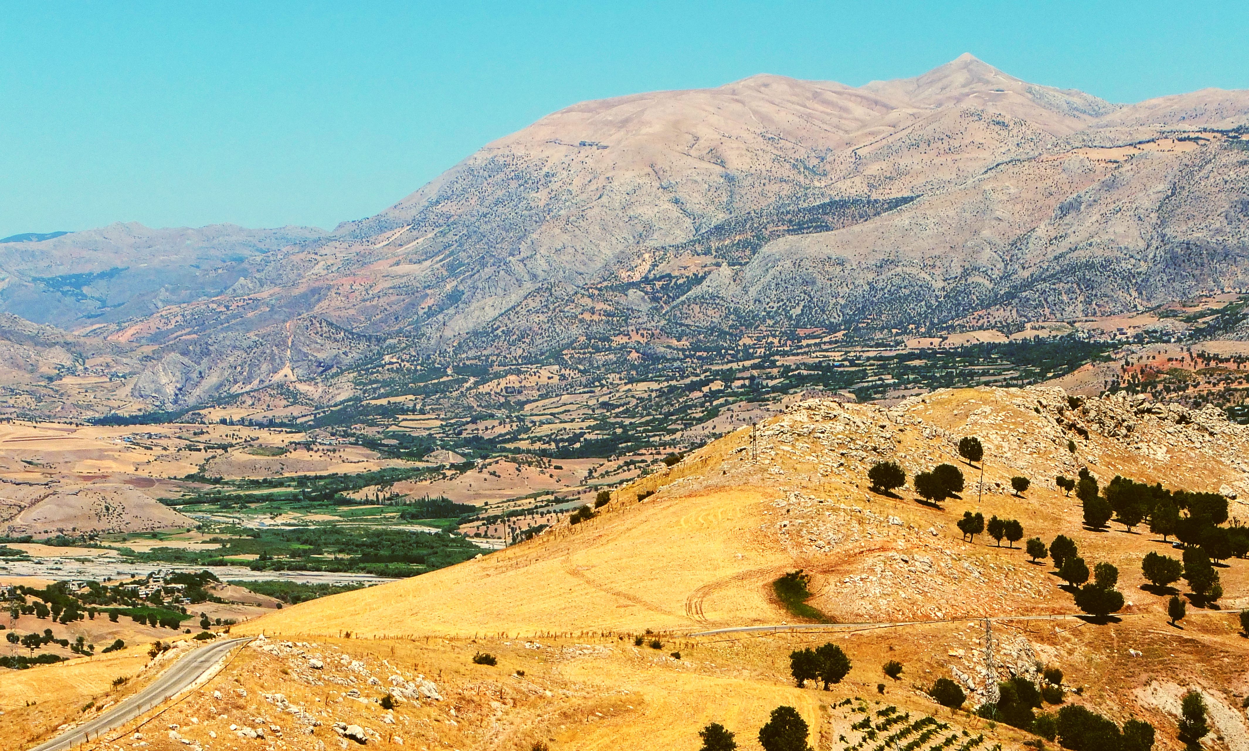
View towards Mount Nemrut
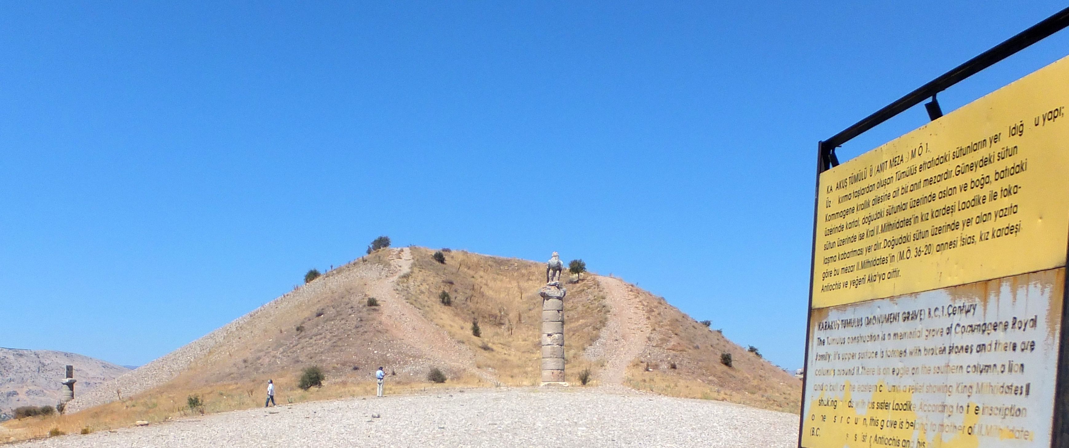
Karakuş Tumulus
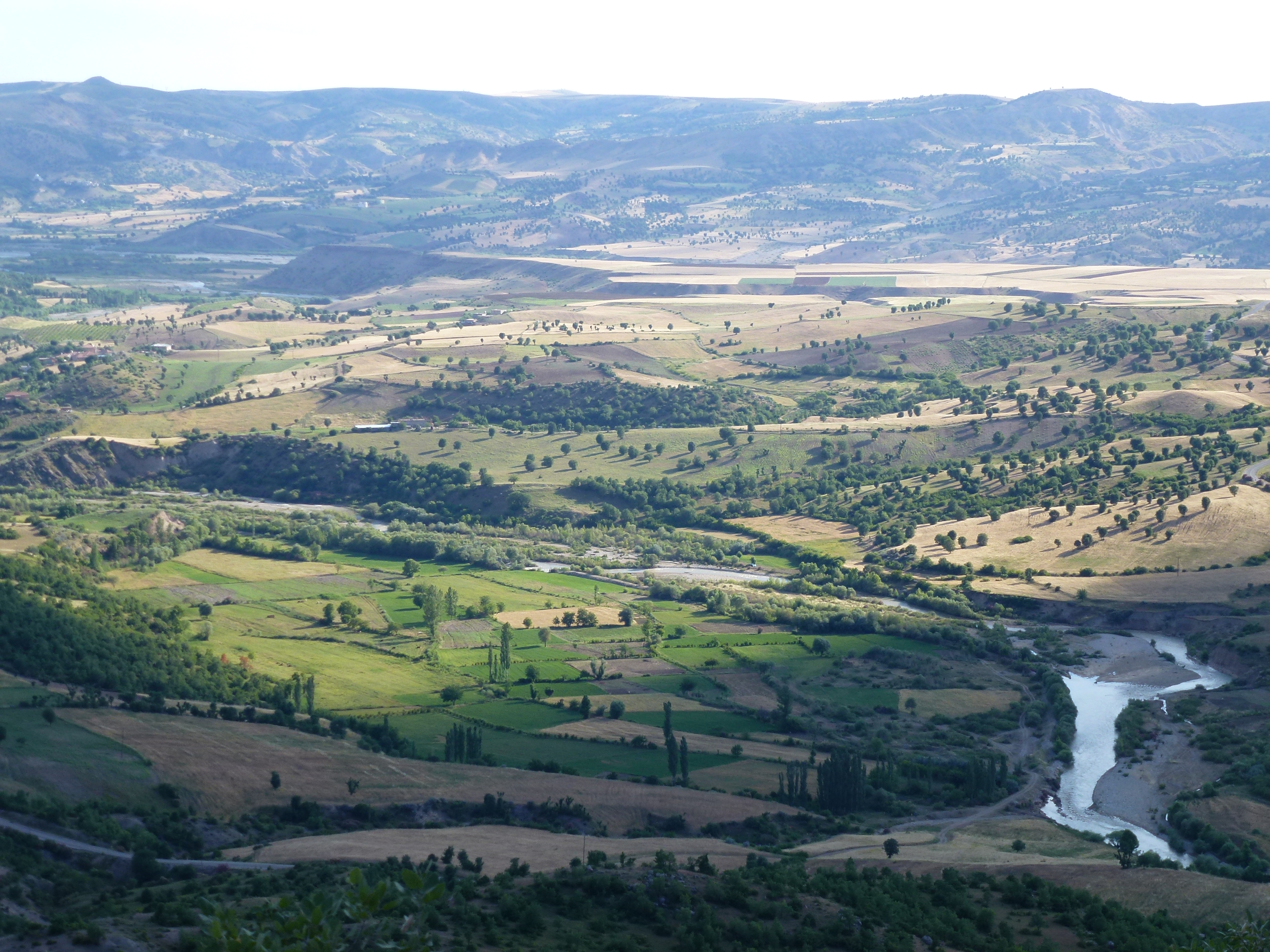
Anatolian countryside
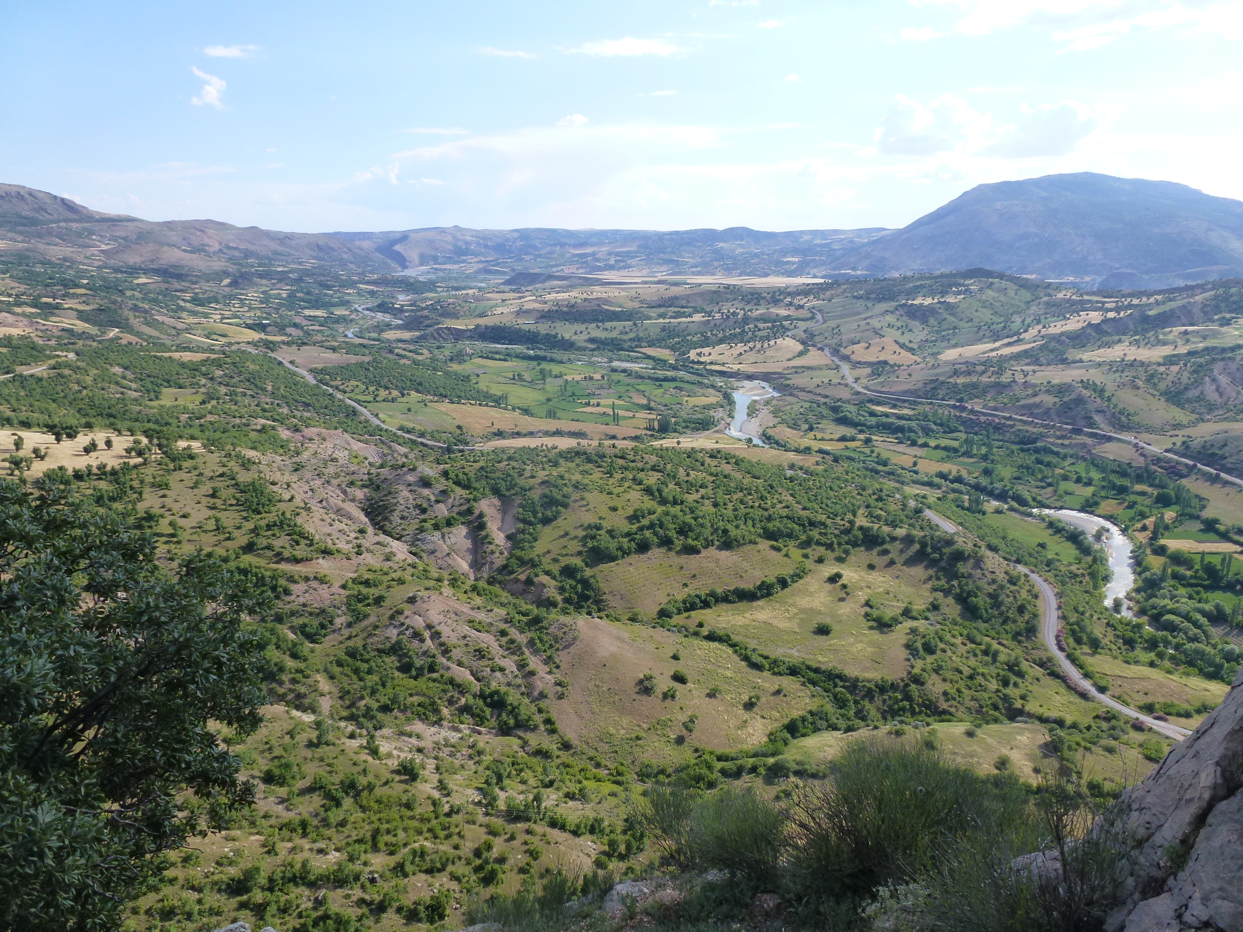
Anatolian countryside

Anatolian countryside
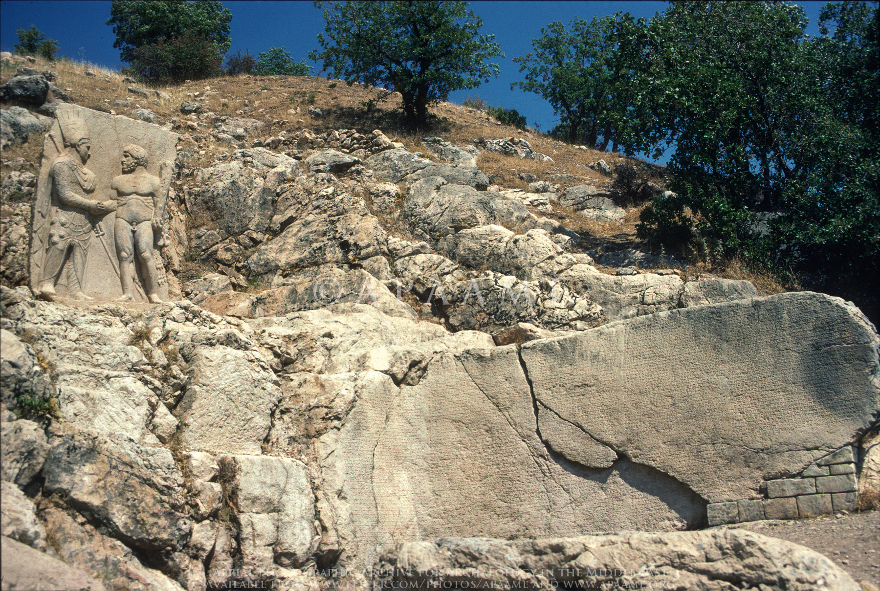
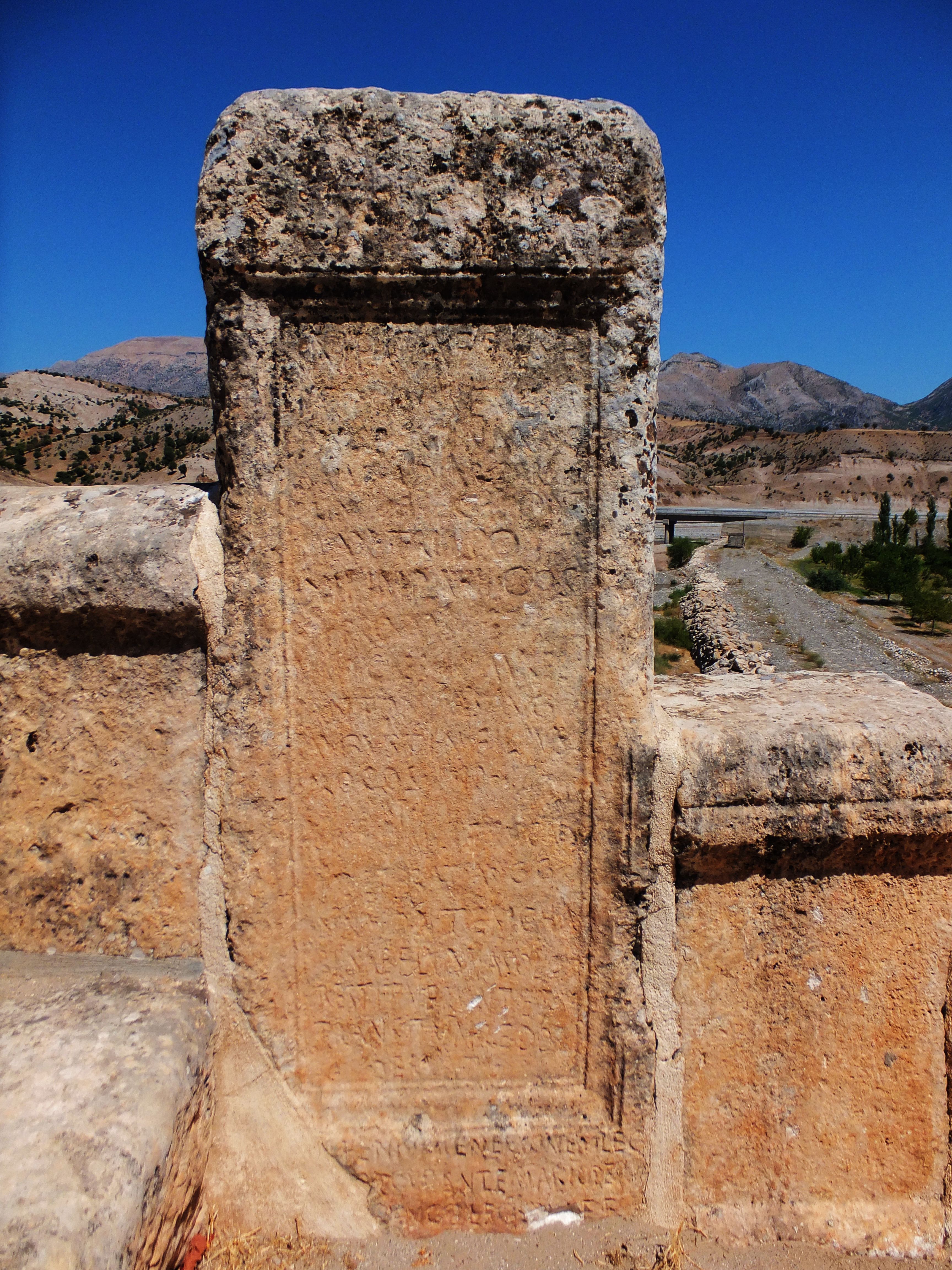
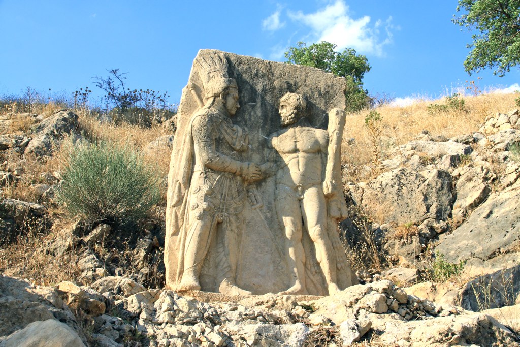
Arsameia - Dexiosis Relief
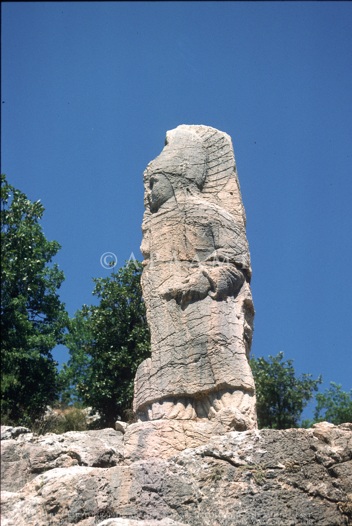
Arsameia - Mithras
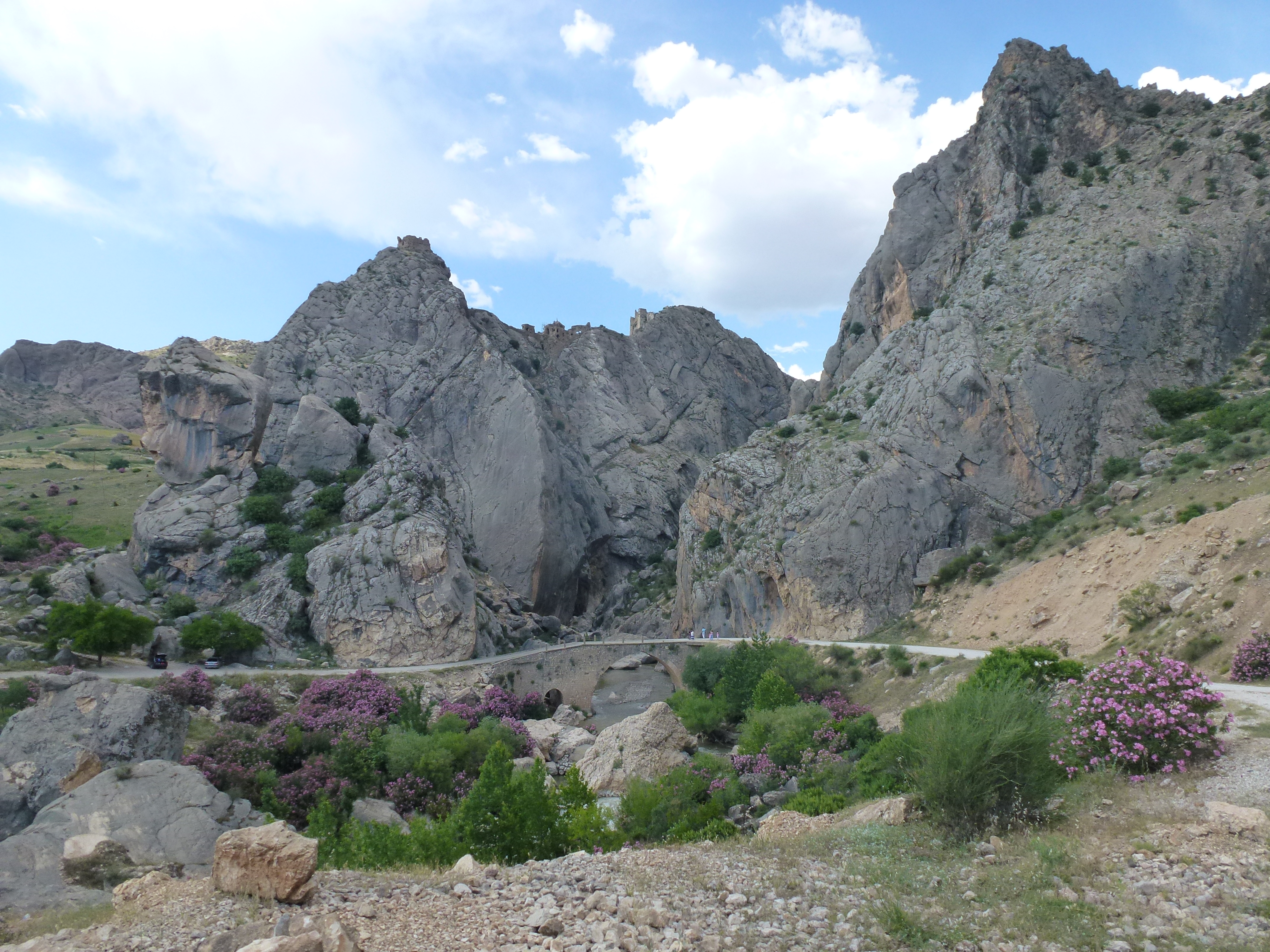
Seljuk Bridge
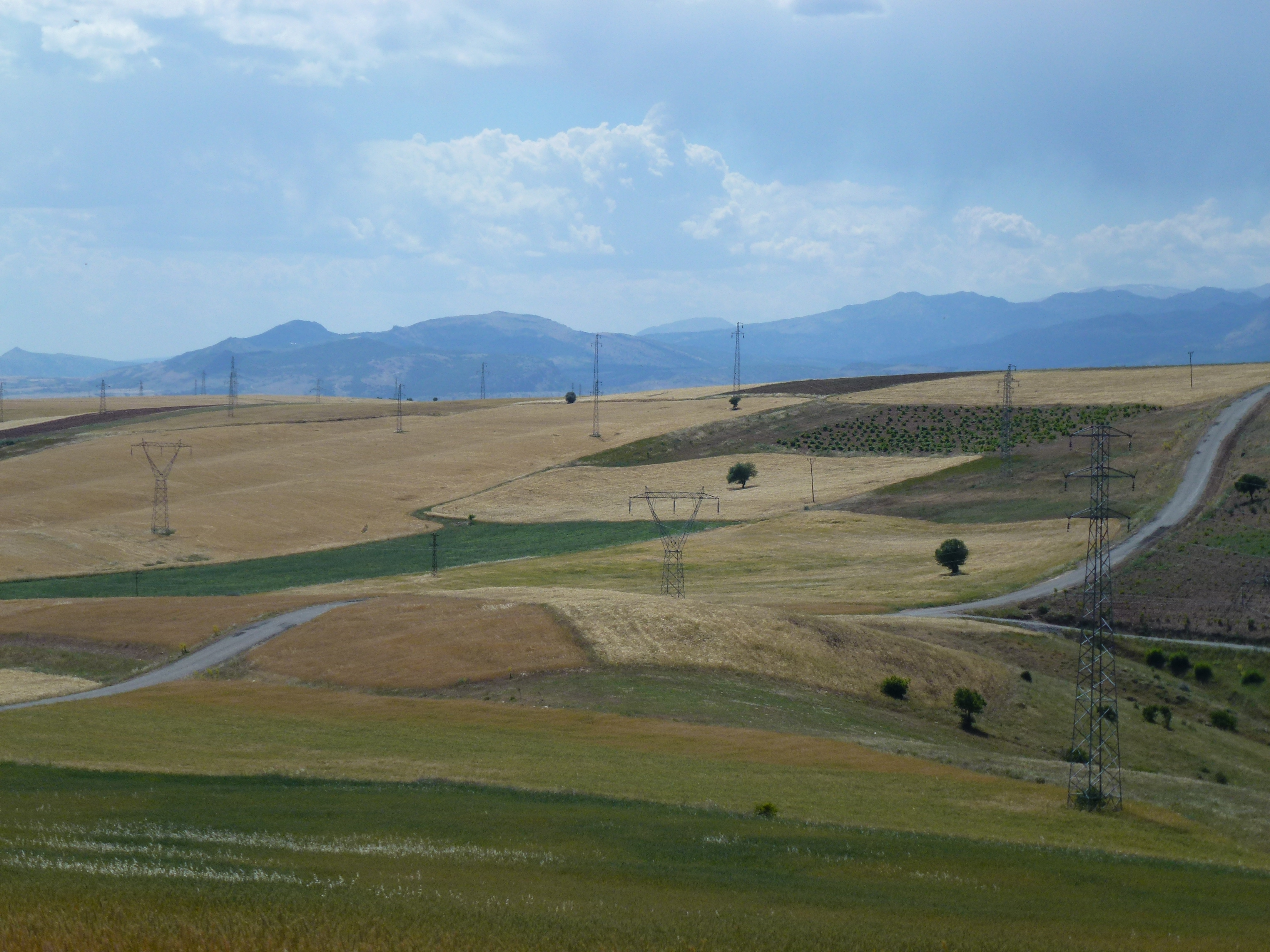
Anatolian countryside

Karakus Tumulus
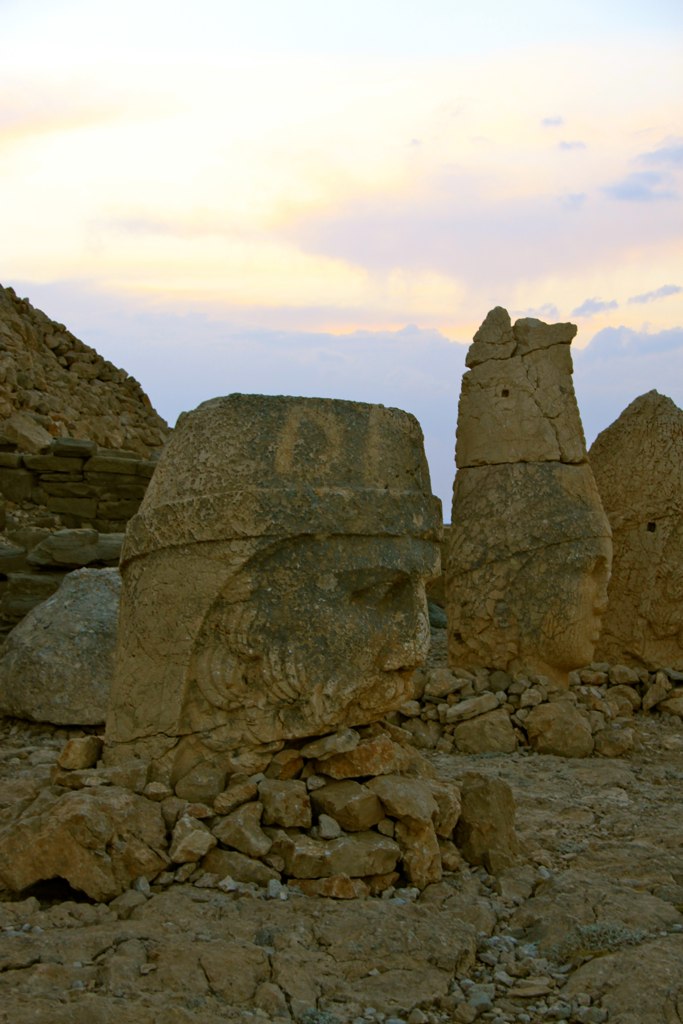
Nemrut Dagi

Yeni Kale castle, Turkey
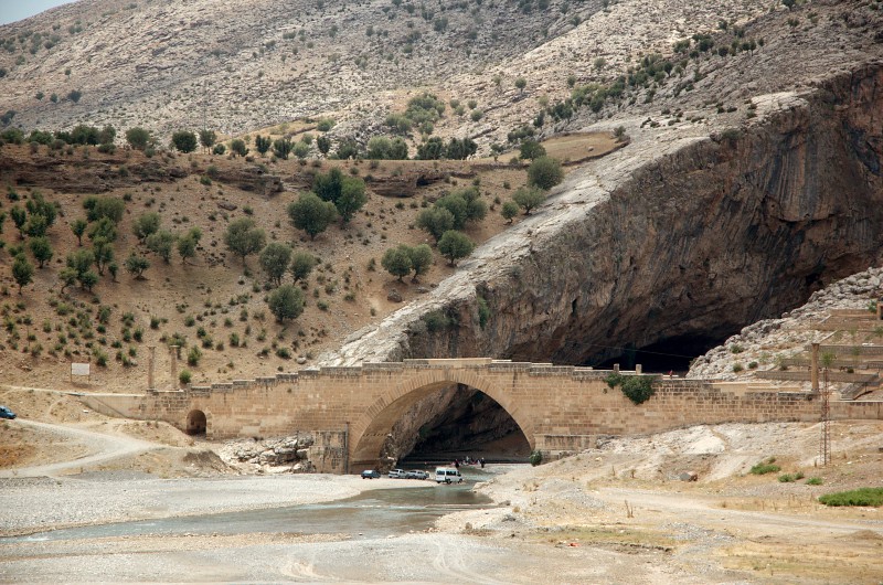
Cendere bridge, Turkey / Cendere Brücke, Türkei

On the way to Nemrut - 1
Built 198-200 CE
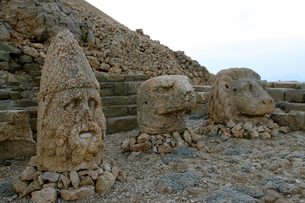
Nemrut Dagi

Euphrates River
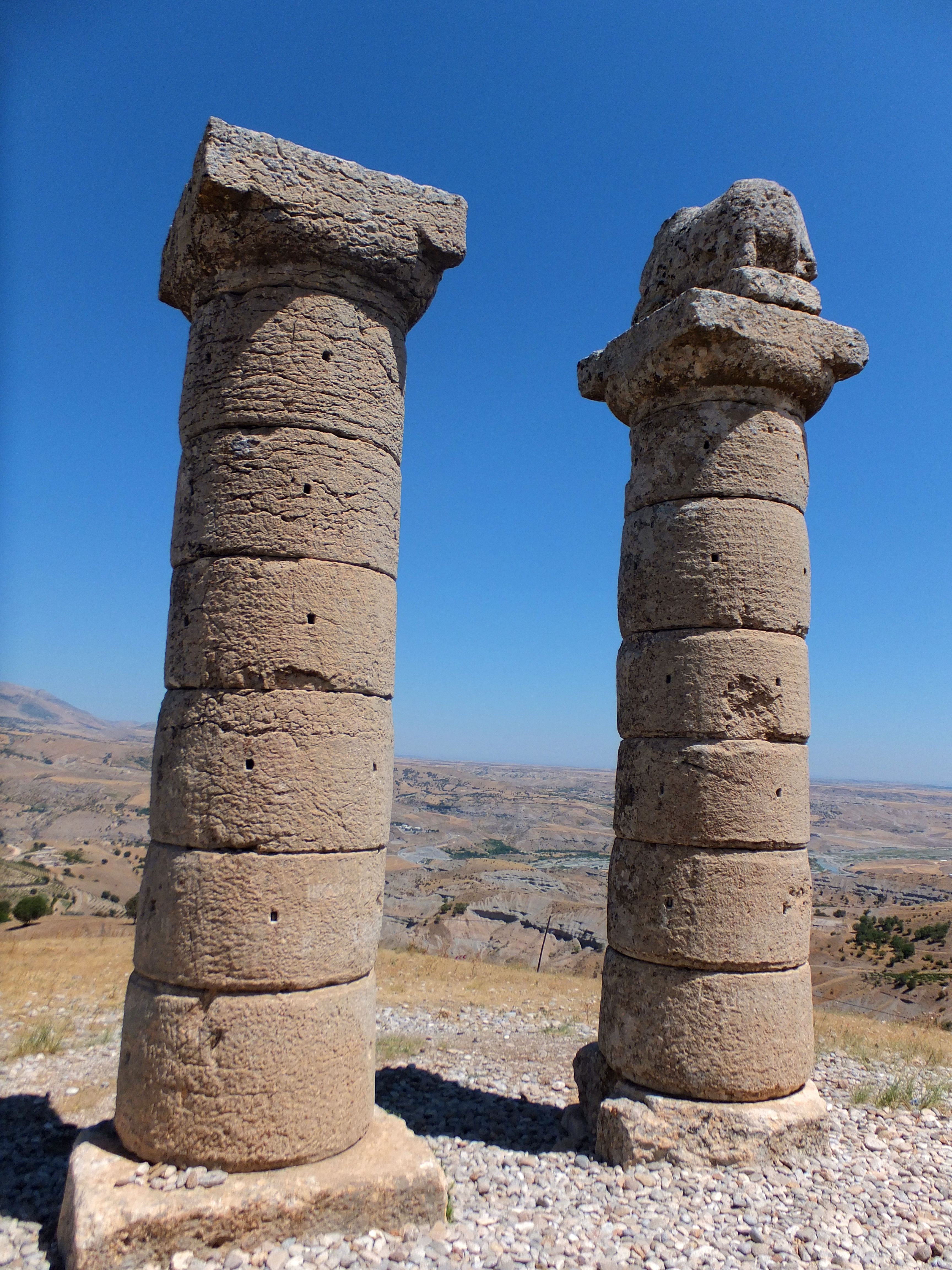
Arsameia Ruins
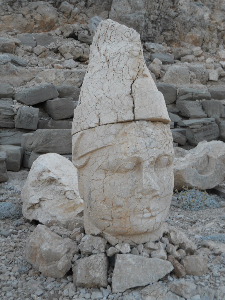
Nemrut Dagi

Cendere Bridge

Slowly flowing
Commagene Hierothesion
Topographic Map of Adıyaman Province, Turkey
Find elevation by address:

Places in Adıyaman Province, Turkey:
Places near Adıyaman Province, Turkey:
Kâhta
Kayadibi Köyü
Adıyaman Merkez
Adıyaman University (ady Is)
Şanlıurfa
Şanlıurfa
Birecik
Birecik
Kobane
Kobani
Akçakale
Recent Searches:
- Elevation map of Greenland, Greenland
- Elevation of Sullivan Hill, New York, New York, 10002, USA
- Elevation of Morehead Road, Withrow Downs, Charlotte, Mecklenburg County, North Carolina, 28262, USA
- Elevation of 2800, Morehead Road, Withrow Downs, Charlotte, Mecklenburg County, North Carolina, 28262, USA
- Elevation of Yangbi Yi Autonomous County, Yunnan, China
- Elevation of Pingpo, Yangbi Yi Autonomous County, Yunnan, China
- Elevation of Mount Malong, Pingpo, Yangbi Yi Autonomous County, Yunnan, China
- Elevation map of Yongping County, Yunnan, China
- Elevation of North 8th Street, Palatka, Putnam County, Florida, 32177, USA
- Elevation of 107, Big Apple Road, East Palatka, Putnam County, Florida, 32131, USA
- Elevation of Jiezi, Chongzhou City, Sichuan, China
- Elevation of Chongzhou City, Sichuan, China
- Elevation of Huaiyuan, Chongzhou City, Sichuan, China
- Elevation of Qingxia, Chengdu, Sichuan, China
- Elevation of Corso Fratelli Cairoli, 35, Macerata MC, Italy
- Elevation of Tallevast Rd, Sarasota, FL, USA
- Elevation of 4th St E, Sonoma, CA, USA
- Elevation of Black Hollow Rd, Pennsdale, PA, USA
- Elevation of Oakland Ave, Williamsport, PA, USA
- Elevation of Pedrógão Grande, Portugal