Elevation of Beckham County, OK, USA
Location: United States > Oklahoma >
Longitude: -99.634135
Latitude: 35.2687266
Elevation: 564m / 1850feet
Barometric Pressure: 0KPa
Related Photos:

Road Trip 201209010074

Road Trip 201212050065

Barn - Sayre, OK

Truck_112012_LR-173.jpg
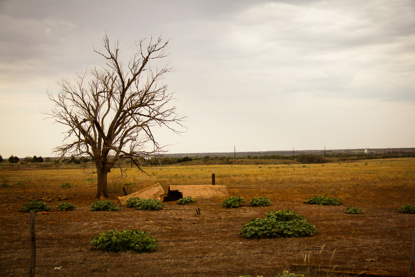
Pipe & tree
l'Oklahoma, c'est riant.
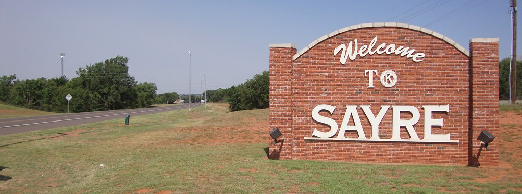
Sayre, Oklahoma
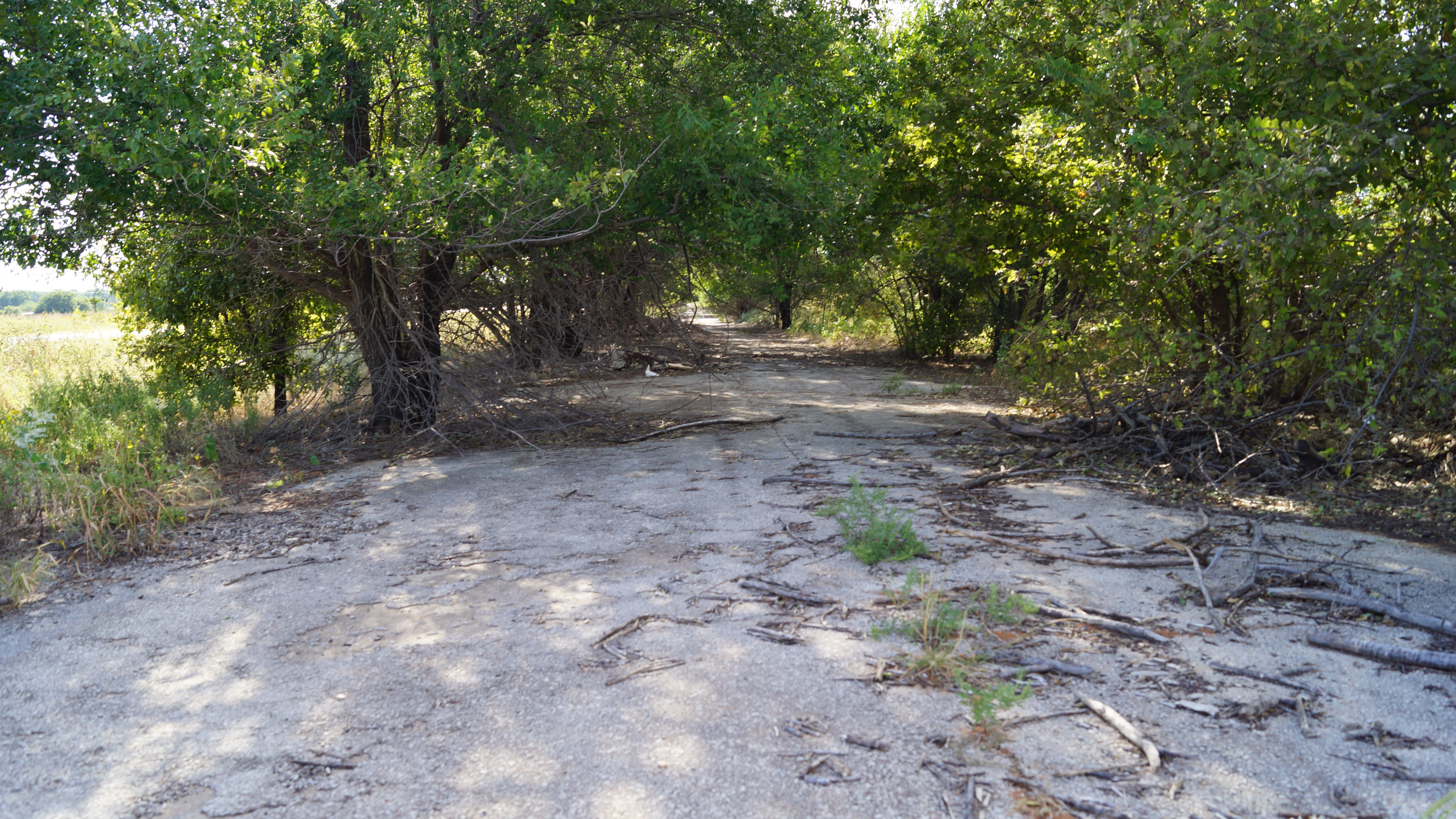
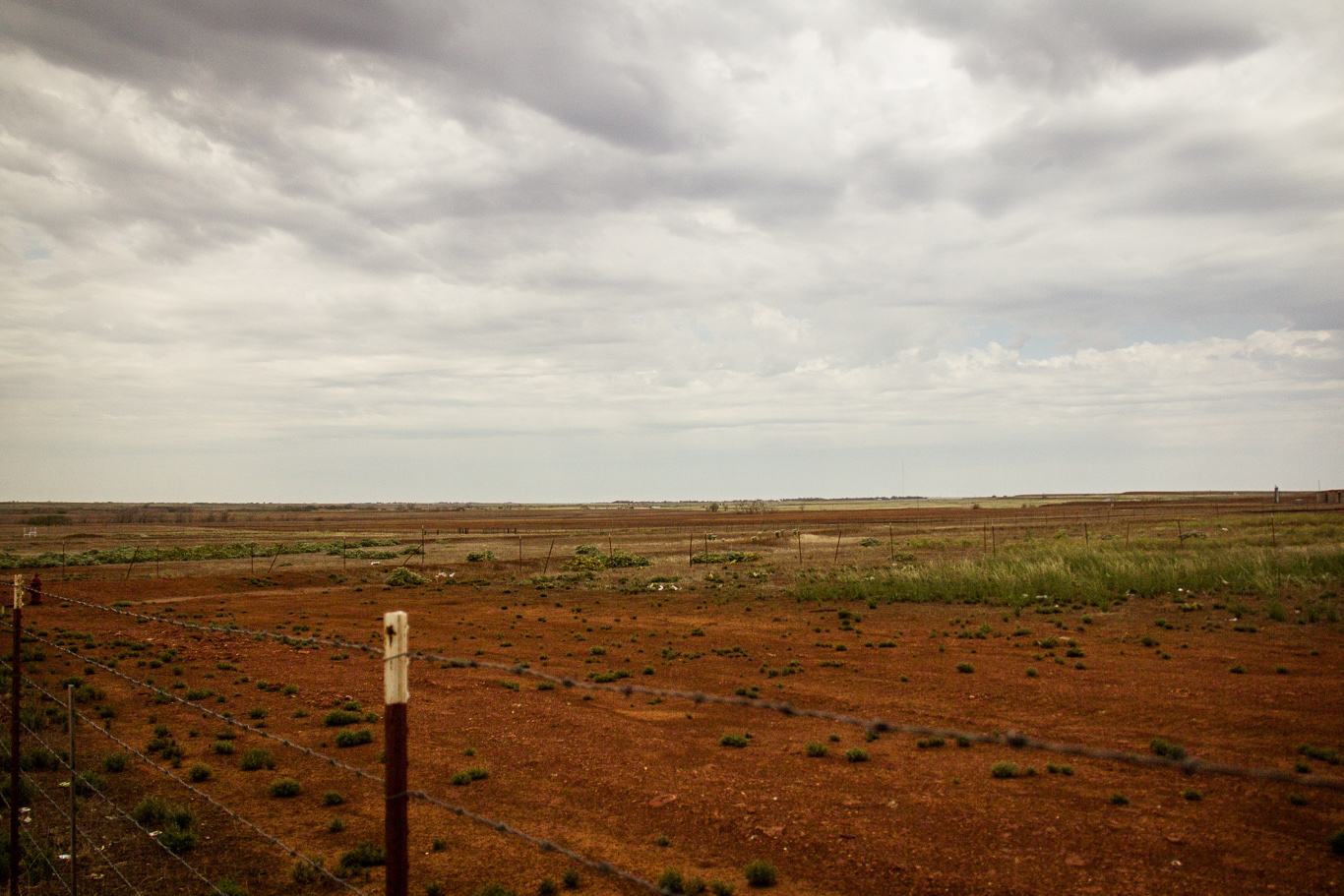
Abandoned Route 66

Oklahoma sunset

Truck_112012_LR-171.jpg
Topographic Map of Beckham County, OK, USA
Find elevation by address:

Places in Beckham County, OK, USA:
Places near Beckham County, OK, USA:
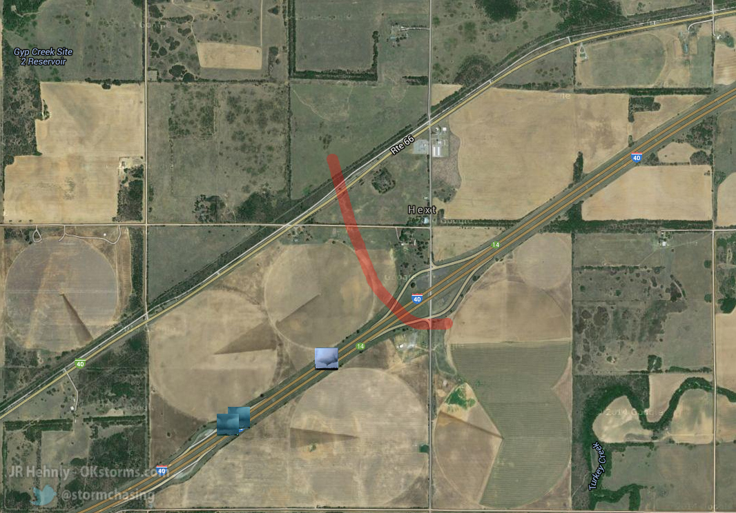
Sayre
N Rd, Sayre, OK, USA
1707 W Country Club Blvd
919 W E Ave
Elk City, OK, USA
Elk City
E 3rd St, Elk City, OK, USA
Retrop
Cheyenne, OK, USA
Cheyenne
Roger Mills County
Canute
OK-44, Foss, OK, USA
Sentinel
Cheyenne
Marina Road
N Rd, Clinton, OK, USA
Great Western Cattle Trail
Main St, Bessie, OK, USA
Clinton
Recent Searches:
- Elevation of Sarahills Drive, Saratoga, Santa Clara County, California, 95070, USA
- Elevation of Town of Bombay, Franklin County, New York, USA
- Elevation of 9, Convent Lane, Center Moriches, Suffolk County, New York, 11934, USA
- Elevation of Saint Angelas Convent, 9, Convent Lane, Center Moriches, Suffolk County, New York, 11934, USA
- Elevation of 131st Street Southwest, Mukilteo, Snohomish County, Washington, 98275, USA
- Elevation of 304, Harrison Road, Naples, Cumberland County, Maine, 04055, USA
- Elevation of 2362, Timber Ridge Road, Harrisburg, Cabarrus County, North Carolina, 28075, USA
- Elevation of Ridge Road, Marshalltown, Marshall County, Iowa, 50158, USA
- Elevation of 2459, Misty Shadows Drive, Pigeon Forge, Sevier County, Tennessee, 37862, USA
- Elevation of 8043, Brightwater Way, Spring Hill, Williamson County, Tennessee, 37179, USA
- Elevation of Starkweather Road, San Luis, Costilla County, Colorado, 81152, USA
- Elevation of 5277, Woodside Drive, Baton Rouge, East Baton Rouge Parish, Louisiana, 70808, USA
- Elevation of 1139, Curtin Street, Shepherd Park Plaza, Houston, Harris County, Texas, 77018, USA
- Elevation of 136, Sellers Lane, Repton, Monroe County, Alabama, 36475, USA
- Elevation of 12914, Elmington Drive, Lakewood Forest, Houston, Harris County, Texas, 77429, USA
- Elevation of 417, Camelot Drive, Statesville, Iredell County, North Carolina, 28625, USA
- Elevation of 5792, Wildridge Road, Avon, Eagle County, Colorado, 81620, USA
- Elevation of Jiuzhi, Handan, Hebei, 056000, China
- Elevation of Kangding Airport, 莫多 - 磨西, Kangding, Sichuan, 626000, China
- Elevation of Tagong Monastery, 兰州-马关, Kangding, Sichuan, 626000, China