Elevation of Barnett, MO, USA
Location: United States > Missouri > Morgan County > Moreau Township >
Longitude: -92.674633
Latitude: 38.3783618
Elevation: 296m / 971feet
Barometric Pressure: 98KPa
Elevation Map:
Satellite Map:
Related Photos:
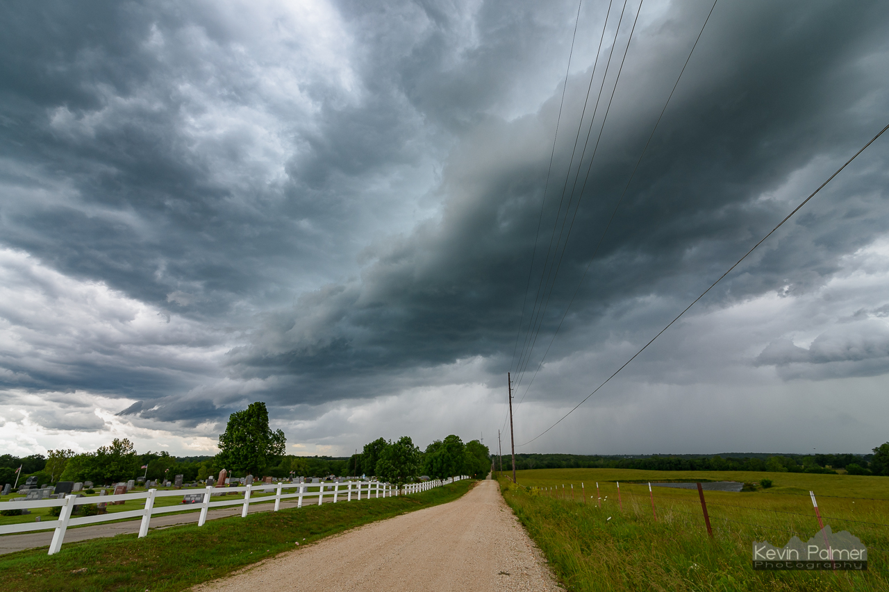
Eldon Shelf Cloud

Eldon Cemetery Squall

Along a Country Road
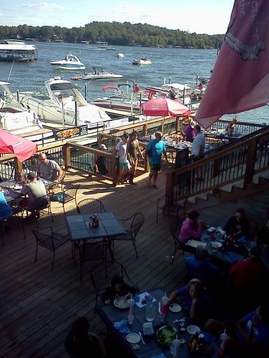
Jolly Rogers, Lake of the Ozarks
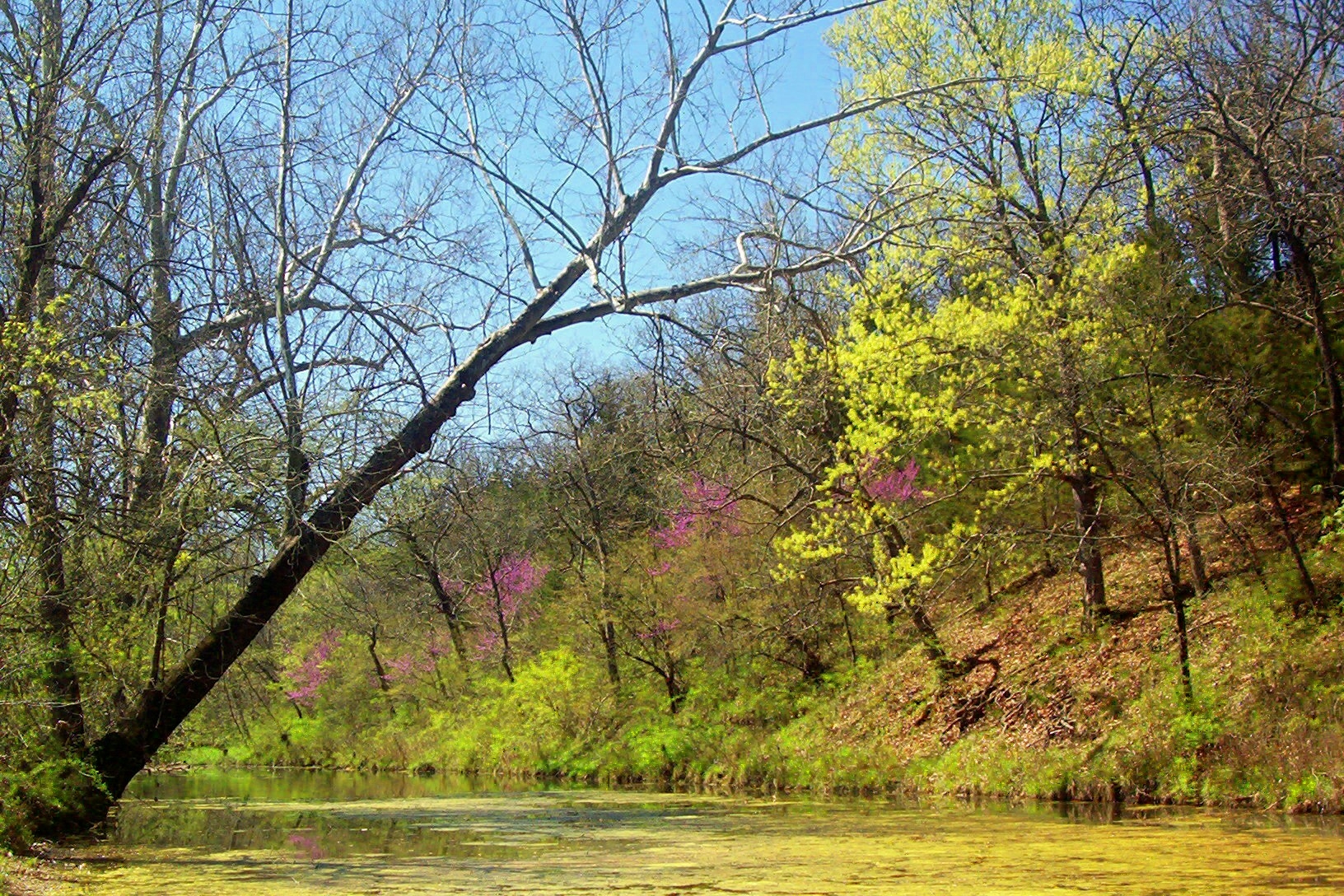
scenery 1116, along the Moreau River, Miller county
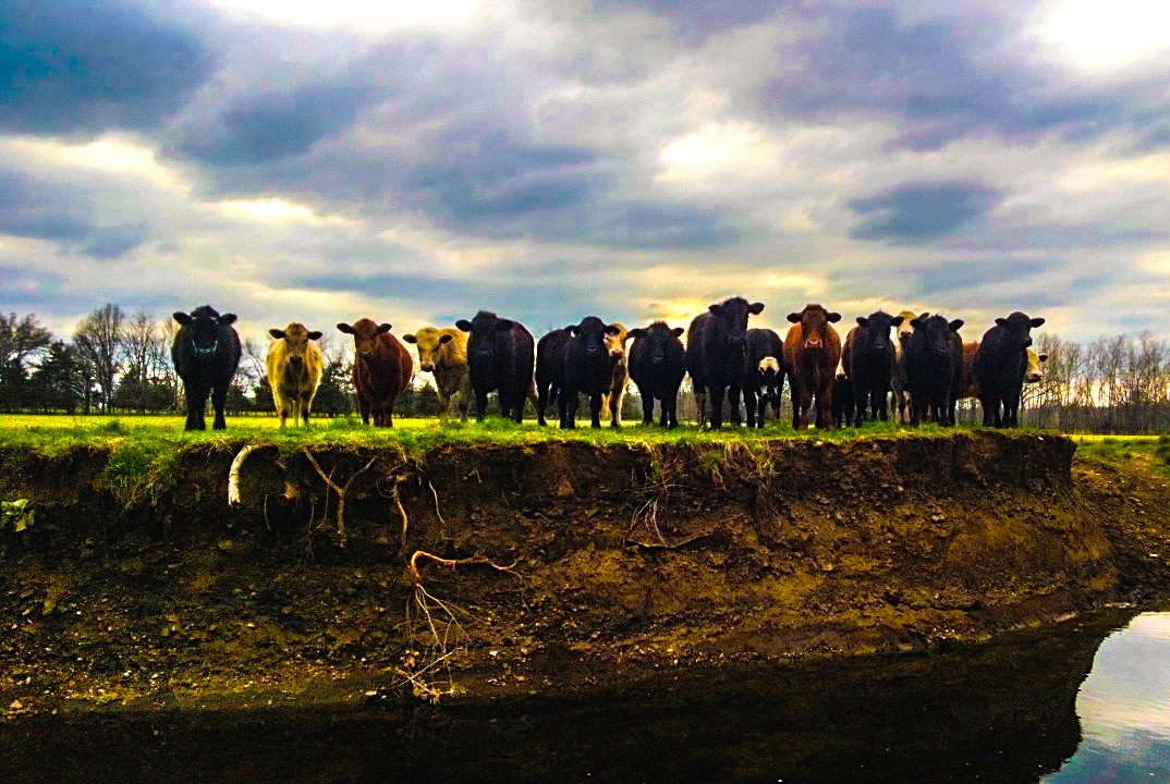
Shelby Bledsoe - Calm Before the Storm

Versailles, Mo.

Versailles, Mo.

Versailles, Mo.
Topographic Map of Barnett, MO, USA
Find elevation by address:

Places in Barnett, MO, USA:
Places near Barnett, MO, USA:
Moreau Township
Outback Road
Eldon
Market Rd, Versailles, MO, USA
Rocky Mount
Howard Road
Howard Road
24650 Gardner Rd
High Point
17 Kim's Ln
328 Shaw Rd
31398 Paradise Point
68 Branch Rd
Overlook Rd, Lake Ozark, MO, USA
Osage Township
Clover Point
Ridge Road
Bagnell Dam
Lake Ozark
Lake Ozark Barber Co.
Recent Searches:
- Elevation of Corso Fratelli Cairoli, 35, Macerata MC, Italy
- Elevation of Tallevast Rd, Sarasota, FL, USA
- Elevation of 4th St E, Sonoma, CA, USA
- Elevation of Black Hollow Rd, Pennsdale, PA, USA
- Elevation of Oakland Ave, Williamsport, PA, USA
- Elevation of Pedrógão Grande, Portugal
- Elevation of Klee Dr, Martinsburg, WV, USA
- Elevation of Via Roma, Pieranica CR, Italy
- Elevation of Tavkvetili Mountain, Georgia
- Elevation of Hartfords Bluff Cir, Mt Pleasant, SC, USA