Elevation of Barillas Peak, New Mexico, USA
Location: United States > New Mexico > Las Vegas >
Longitude: -105.47334
Latitude: 35.5708727
Elevation: 2846m / 9337feet
Barometric Pressure: 71KPa
Elevation Map:
Satellite Map:
Related Photos:
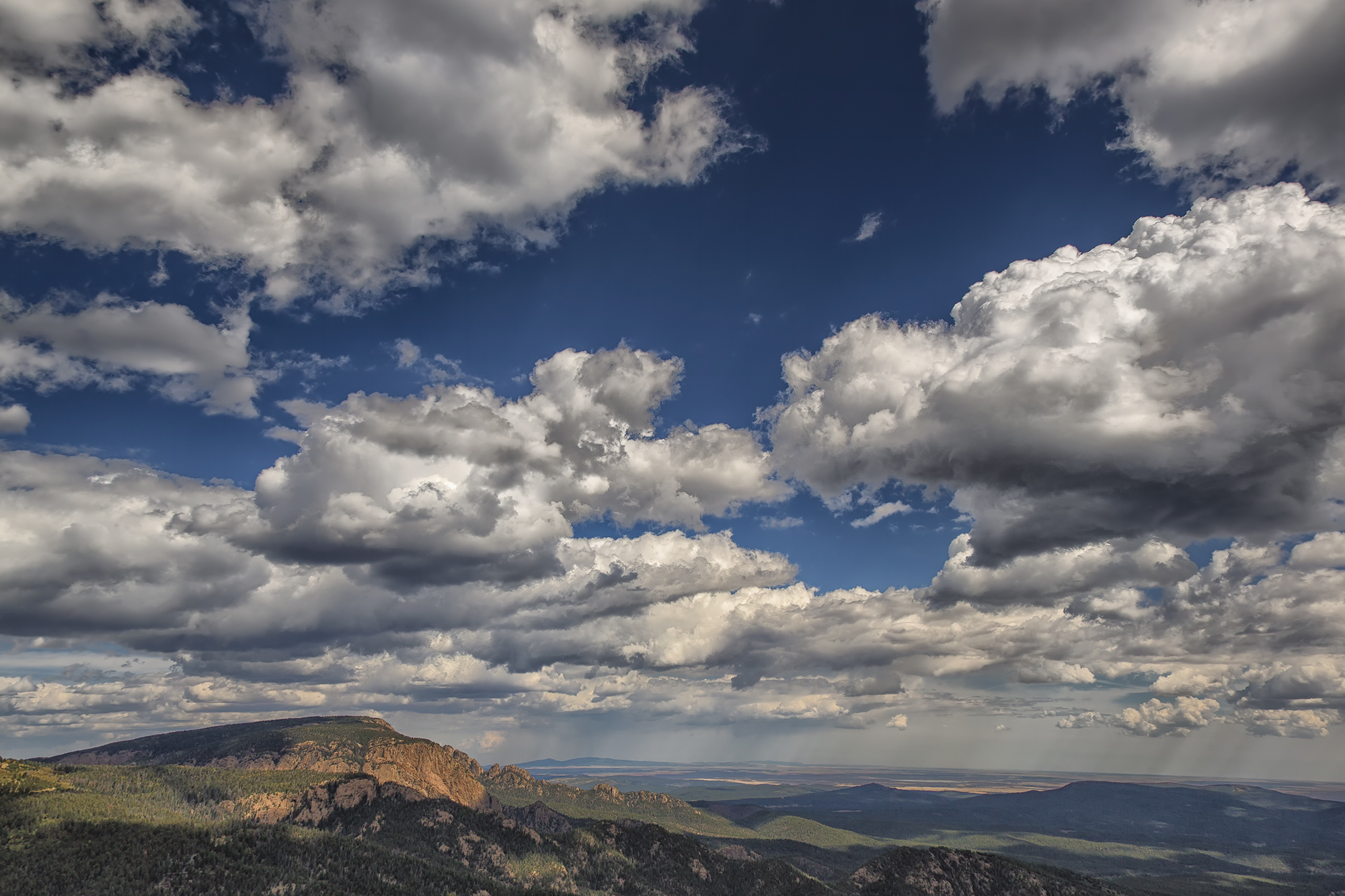
Hermit Peak and the Turkey Mountains from Johnson Mesa

Tecolote Fire and Hermit's Peak
Topographic Map of Barillas Peak, New Mexico, USA
Find elevation by address:

Places near Barillas Peak, New Mexico, USA:
Calle Largo
San Jose, NM, USA
49 Silver Feather Trail
Red Tail Ridge
South San Ysidro
Pecos River Cliff House
Ilfeld, NM, USA
2 Regalia Ln, San Jose, NM, USA
San Jose
Mirasol Lane
Pecos
Rowe
Viveash Mesa
17 Via Getruditas Loop
20 Indian View Rd
37 Sweet Clover Ln
15 Tres Lagunas Rd
La Cueva
Tererro
26 Hummingbird Ln
Recent Searches:
- Elevation of Corso Fratelli Cairoli, 35, Macerata MC, Italy
- Elevation of Tallevast Rd, Sarasota, FL, USA
- Elevation of 4th St E, Sonoma, CA, USA
- Elevation of Black Hollow Rd, Pennsdale, PA, USA
- Elevation of Oakland Ave, Williamsport, PA, USA
- Elevation of Pedrógão Grande, Portugal
- Elevation of Klee Dr, Martinsburg, WV, USA
- Elevation of Via Roma, Pieranica CR, Italy
- Elevation of Tavkvetili Mountain, Georgia
- Elevation of Hartfords Bluff Cir, Mt Pleasant, SC, USA