Elevation of Viveash Mesa, New Mexico, USA
Location: United States > New Mexico > Pecos >
Longitude: -105.65473
Latitude: 35.6975334
Elevation: 2975m / 9760feet
Barometric Pressure: 70KPa
Elevation Map:
Satellite Map:
Related Photos:

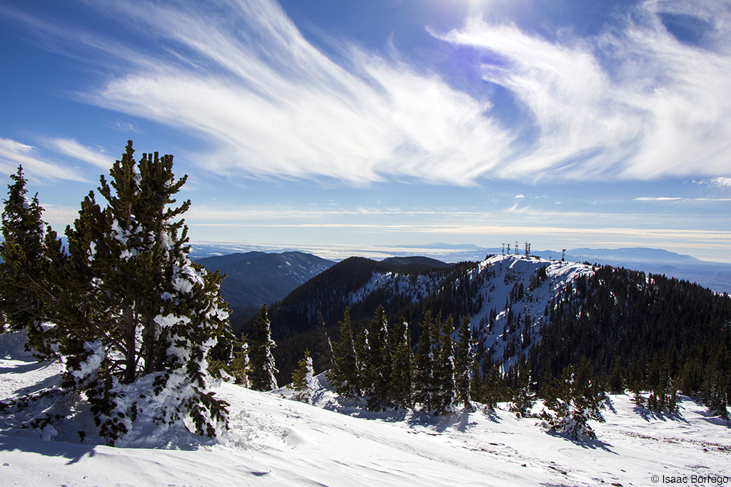
Santa Fe Winter

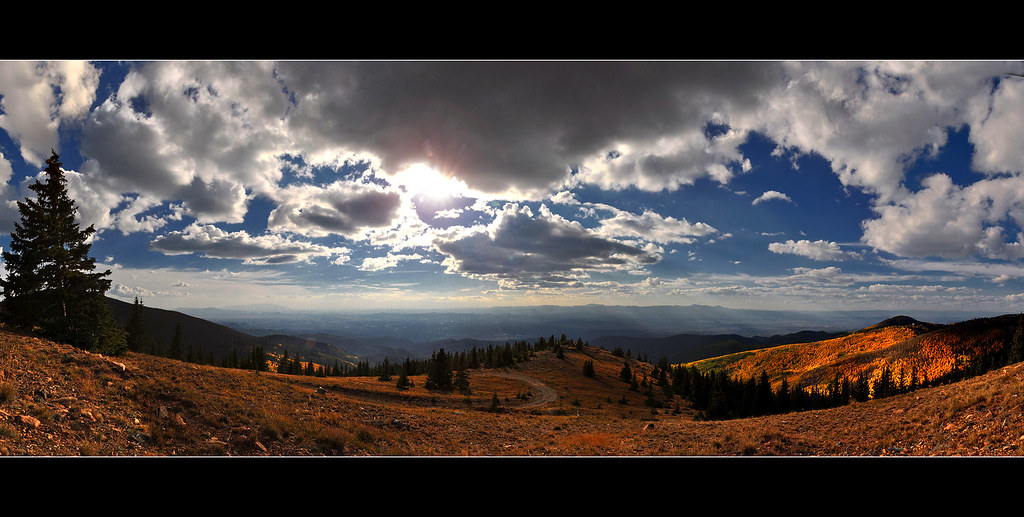
Aspen Panorama 5
Aspen Panorama

Aspens & Elvis
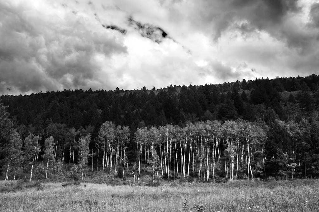
Santa Fe Nat Forest Aspen B&W
View to Tesuque Peak
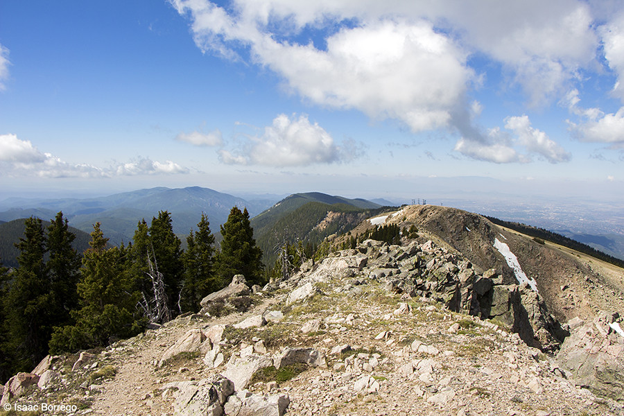
View to the South

Aspen View Trail - Santa Fe National Forest
Jemez View
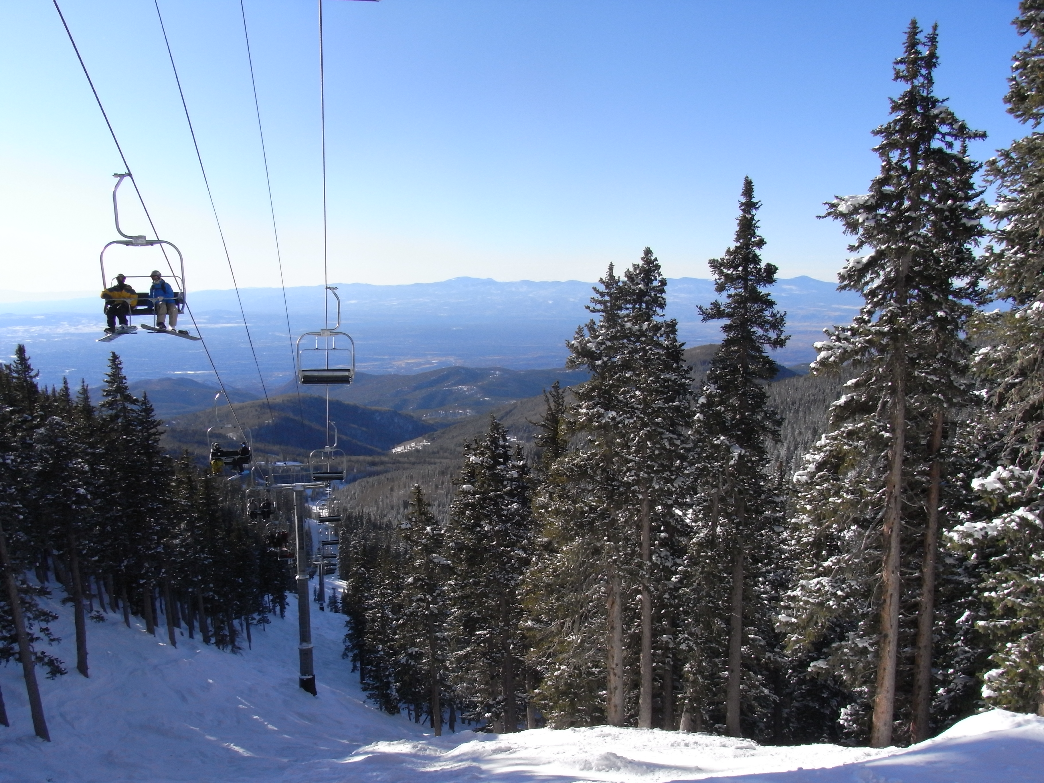
Millenium Lift View
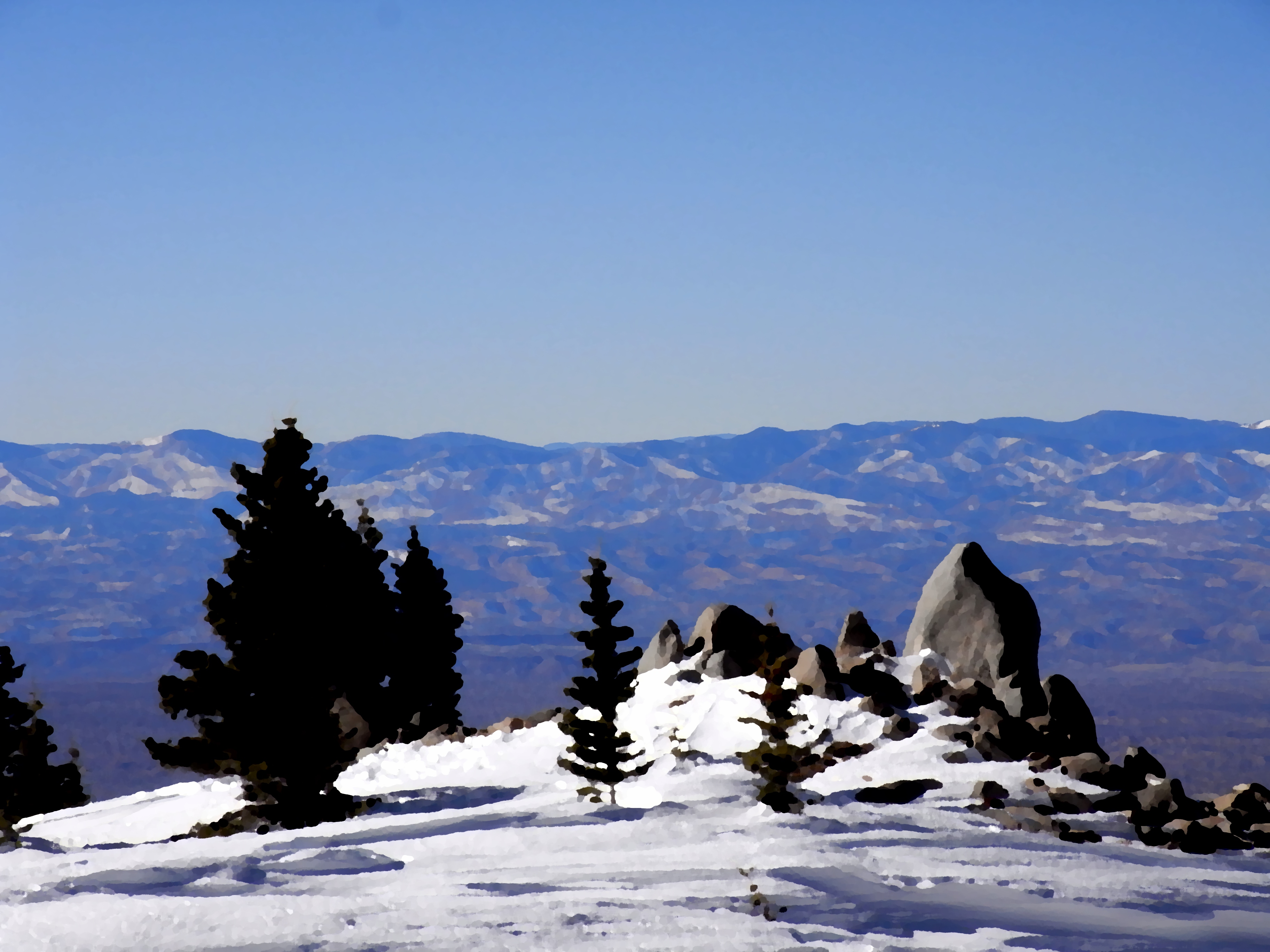
Lake Peak
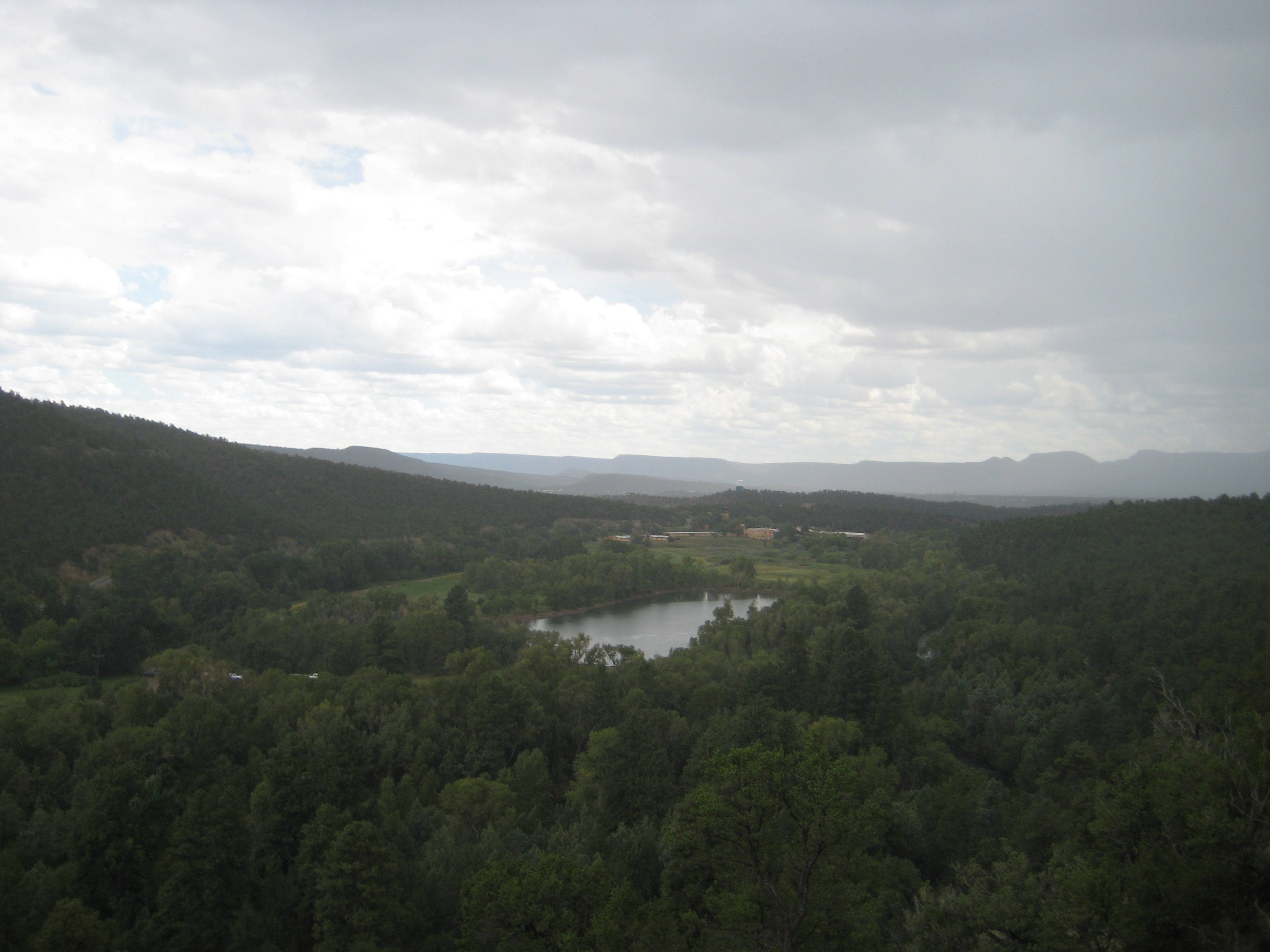
view of Pecos Monastery and lake from ridge

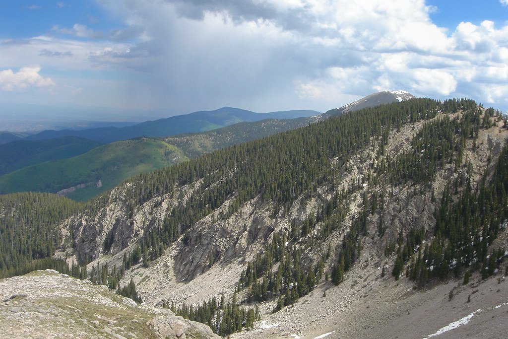
View from Deception Peak
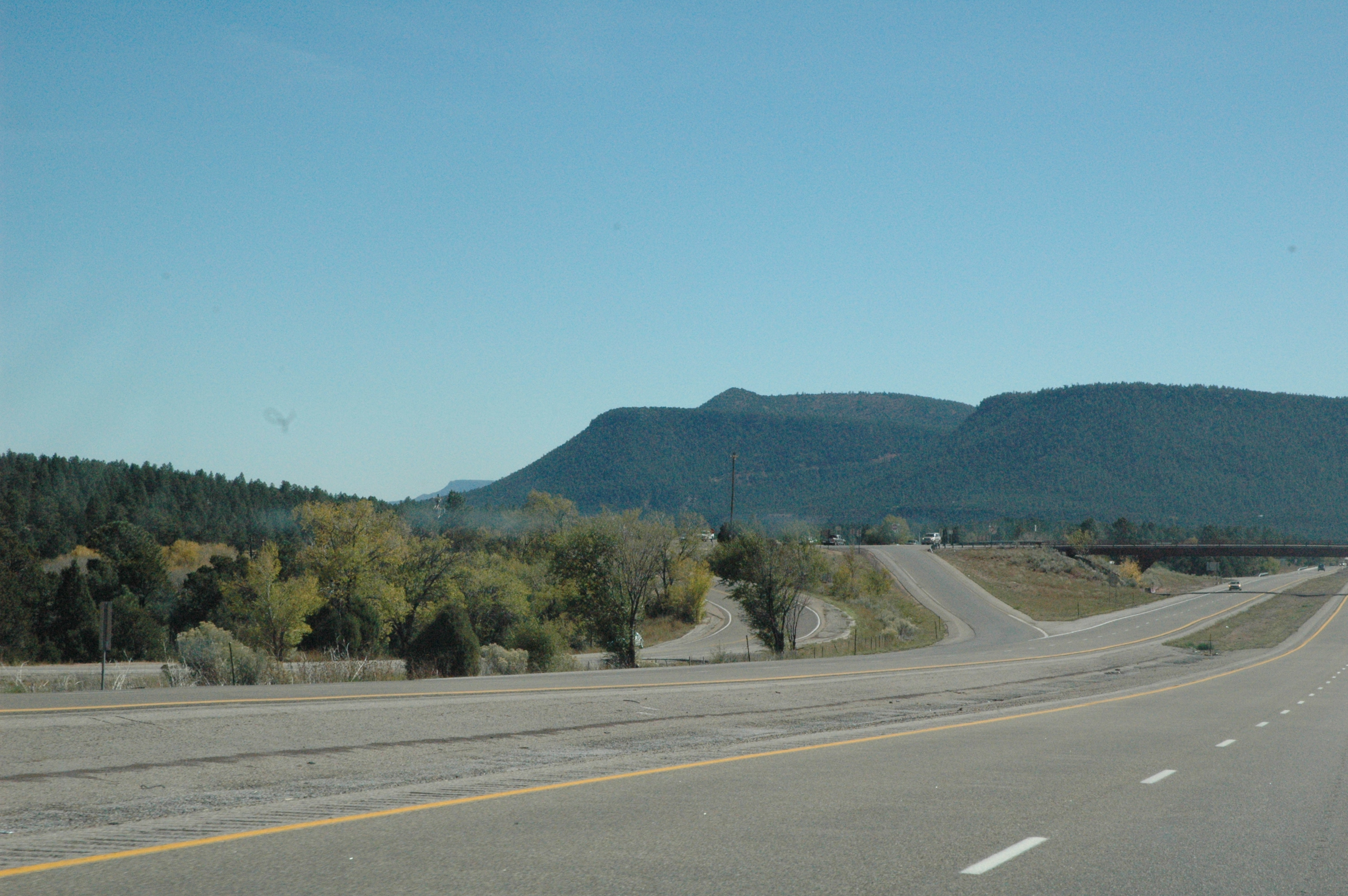
Interstate 25 from northern New Mexico
Topographic Map of Viveash Mesa, New Mexico, USA
Find elevation by address:

Places near Viveash Mesa, New Mexico, USA:
15 Tres Lagunas Rd
Tererro
39 Terrero Ranch Rd
Cowles
Windsor Rd, Tererro, NM, USA
49 Silver Feather Trail
Red Tail Ridge
Mudge Road
Grass Mountain
Mirasol Lane
Pecos
La Cueva
17 Via Getruditas Loop
20 Indian View Rd
Lake Peak
Thompson Peak
37 Sweet Clover Ln
11 Nm-50
Glorieta
Glorieta Pass
Recent Searches:
- Elevation of Corso Fratelli Cairoli, 35, Macerata MC, Italy
- Elevation of Tallevast Rd, Sarasota, FL, USA
- Elevation of 4th St E, Sonoma, CA, USA
- Elevation of Black Hollow Rd, Pennsdale, PA, USA
- Elevation of Oakland Ave, Williamsport, PA, USA
- Elevation of Pedrógão Grande, Portugal
- Elevation of Klee Dr, Martinsburg, WV, USA
- Elevation of Via Roma, Pieranica CR, Italy
- Elevation of Tavkvetili Mountain, Georgia
- Elevation of Hartfords Bluff Cir, Mt Pleasant, SC, USA