Elevation of Pecos River Cliff House, 74 Co Rd B41A, San Jose, NM, USA
Location: United States > New Mexico > San Miguel County > San Jose >
Longitude: -105.49239
Latitude: 35.412358
Elevation: 1877m / 6158feet
Barometric Pressure: 81KPa
Elevation Map:
Satellite Map:
Related Photos:
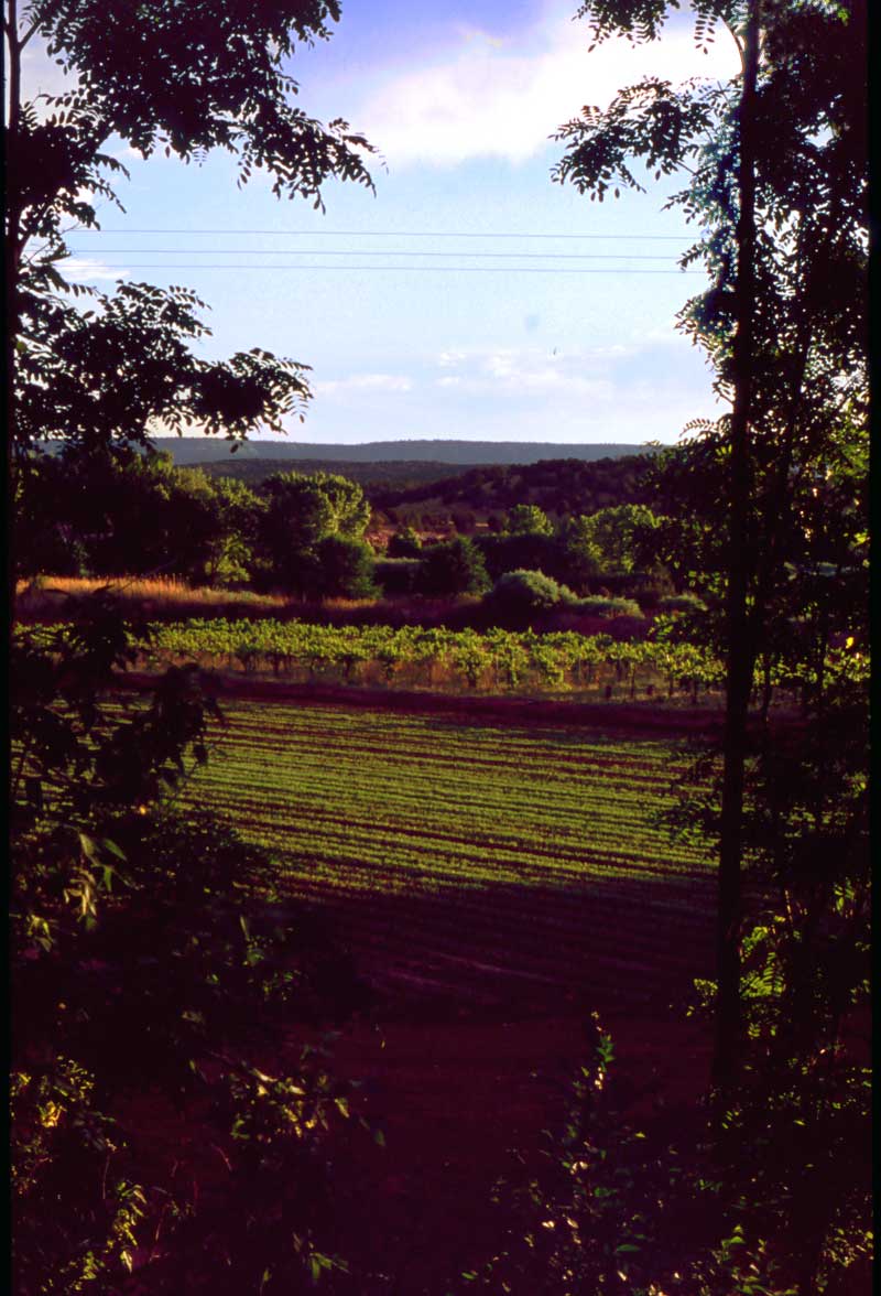
The Vineyard
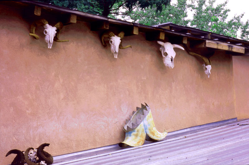
Courtyard View
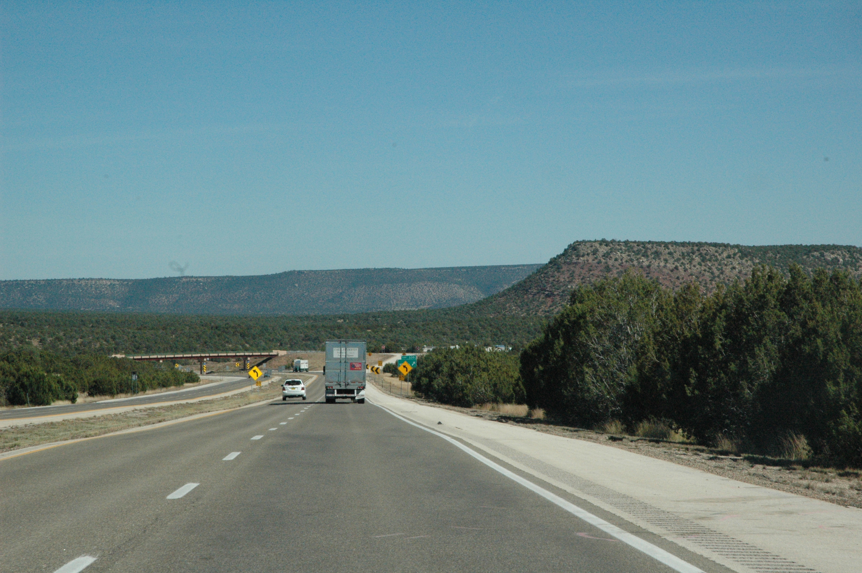
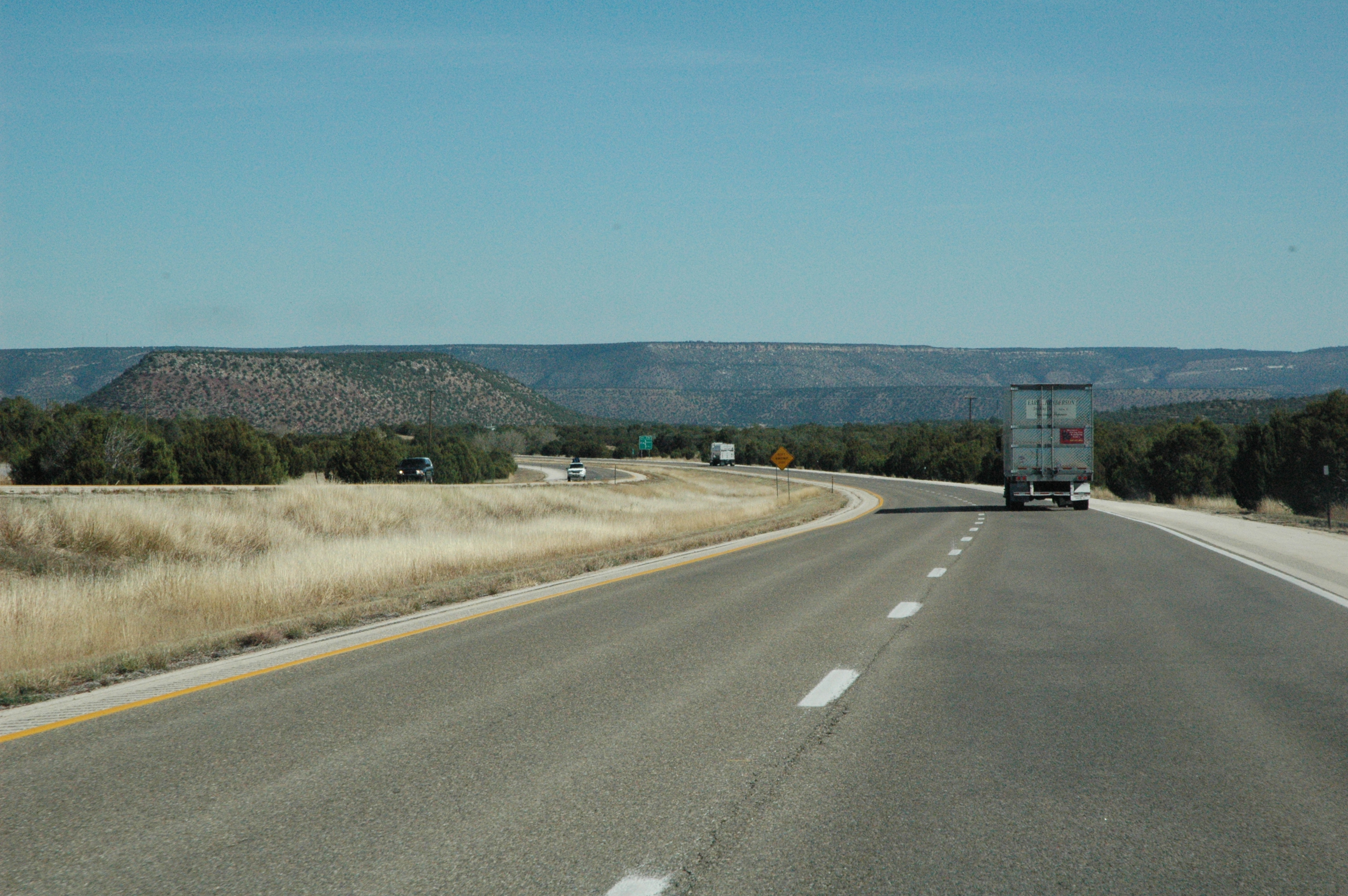
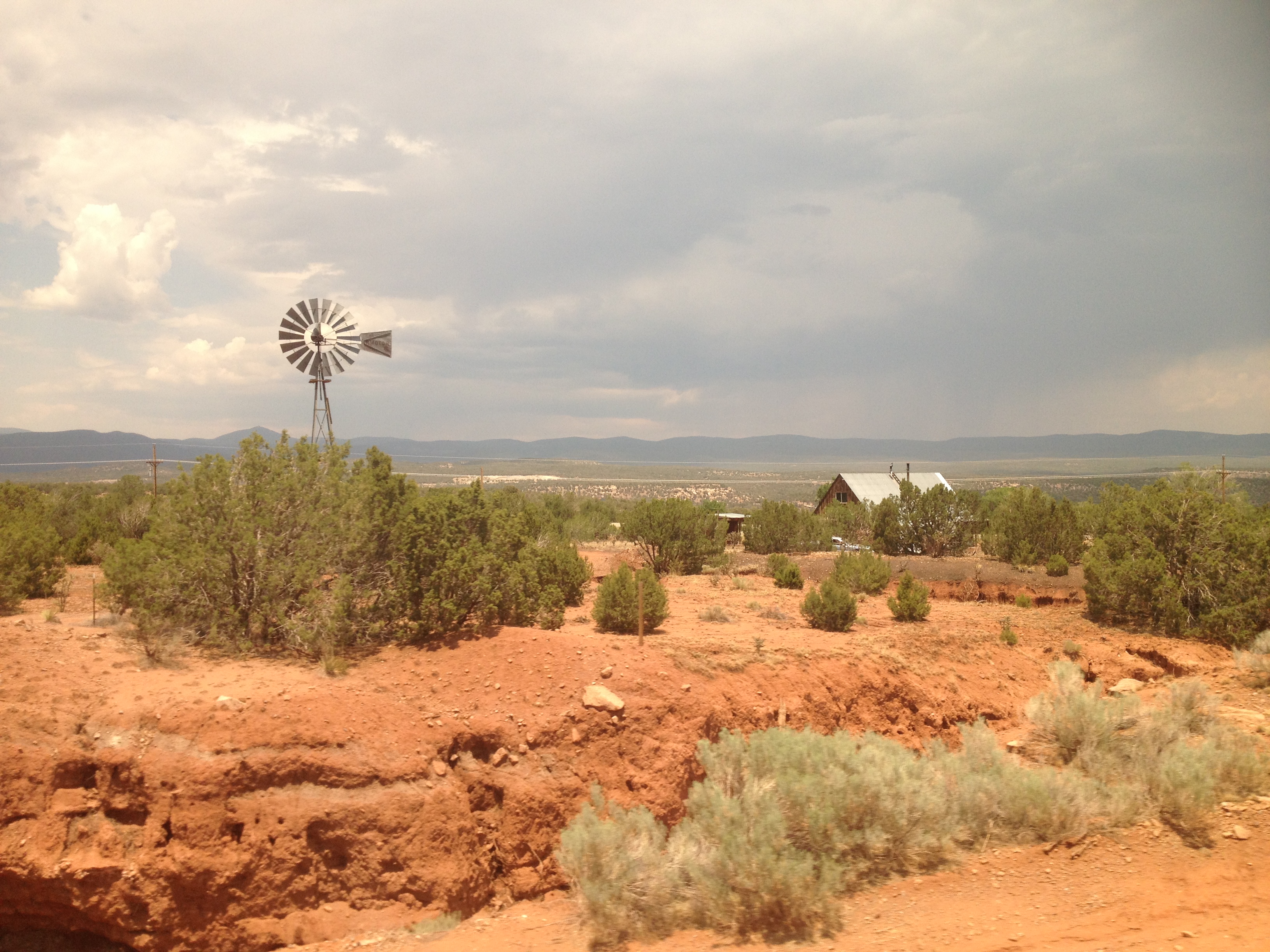
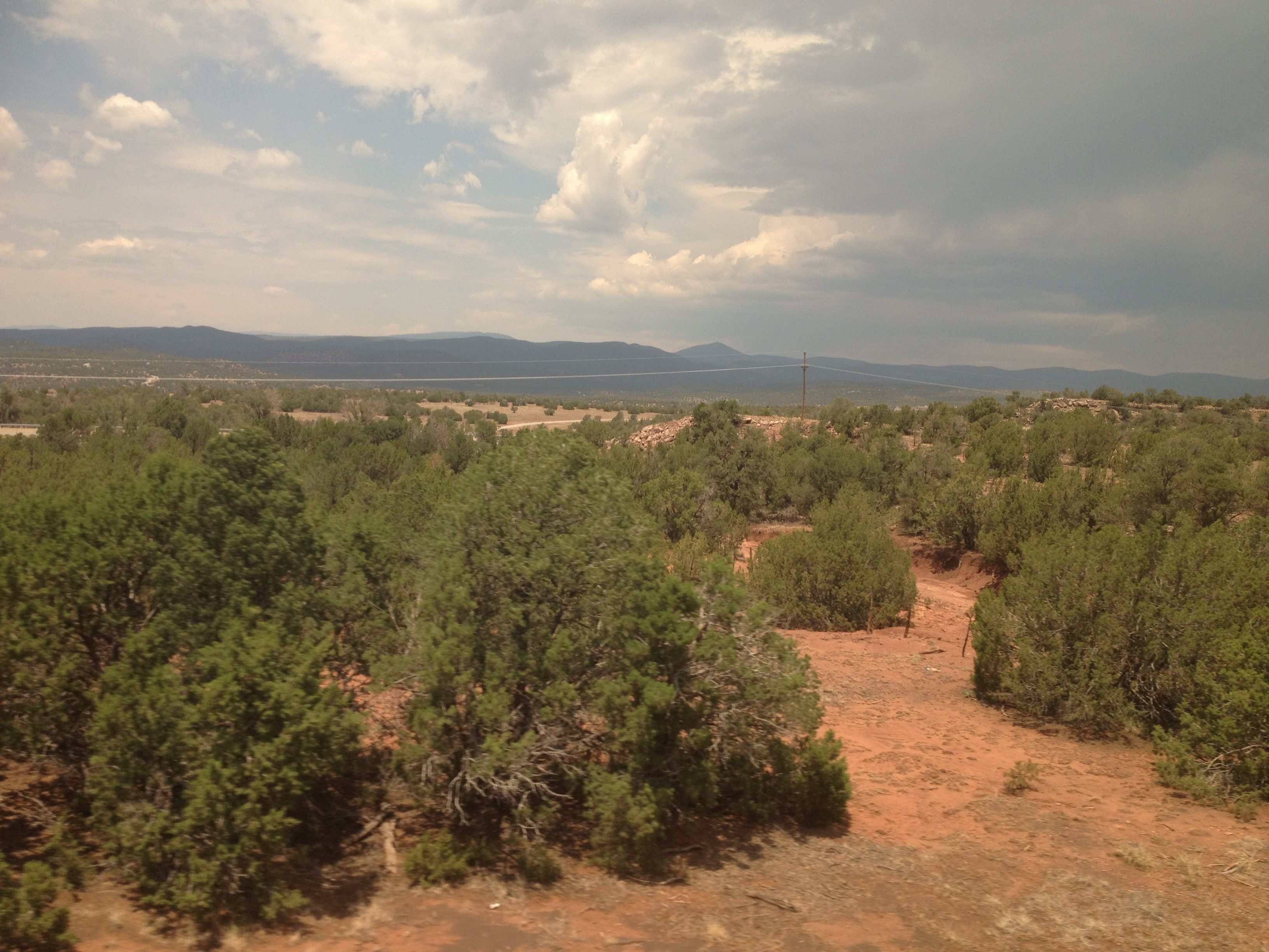
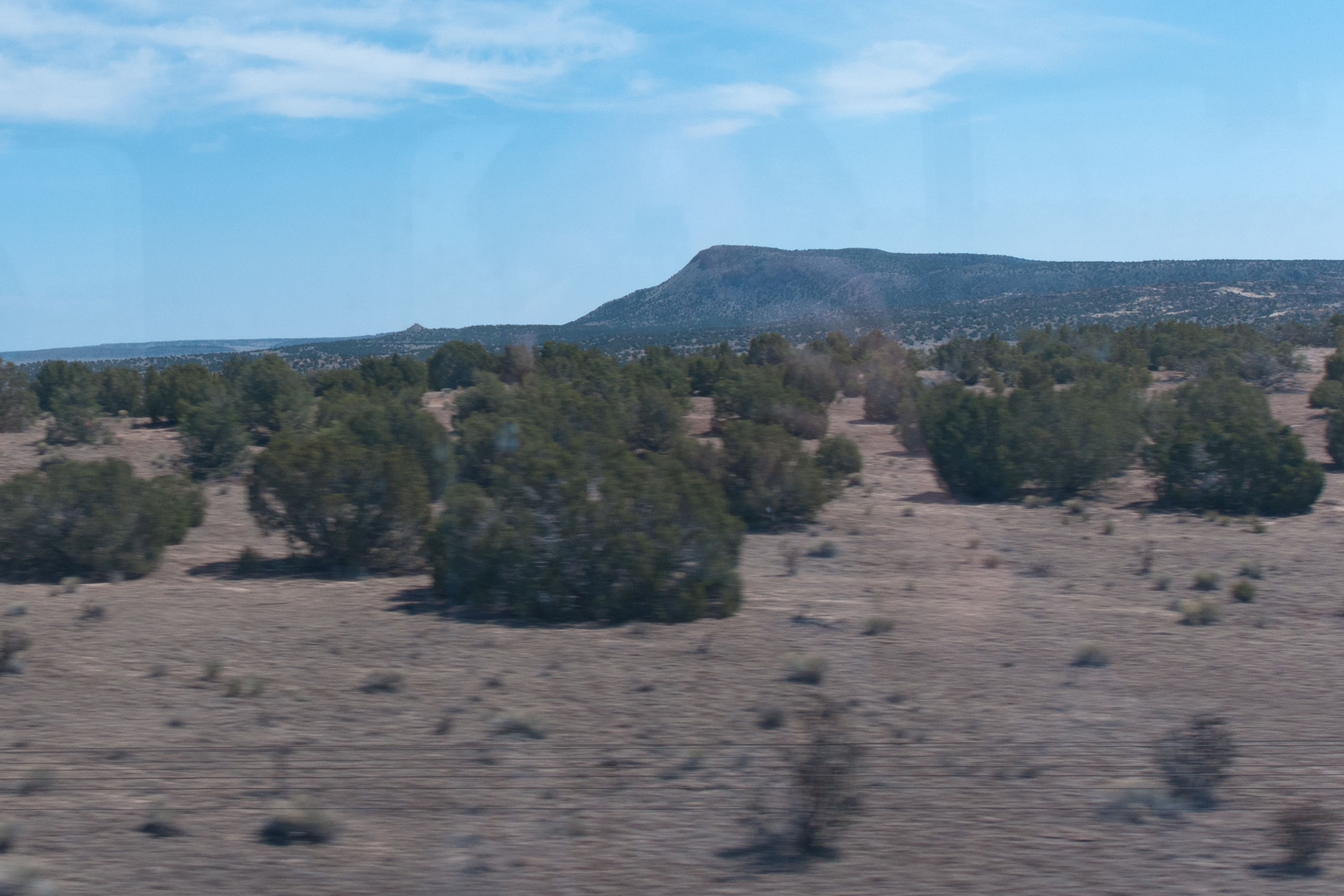
Views from Interstate 25 in northern New Mexico
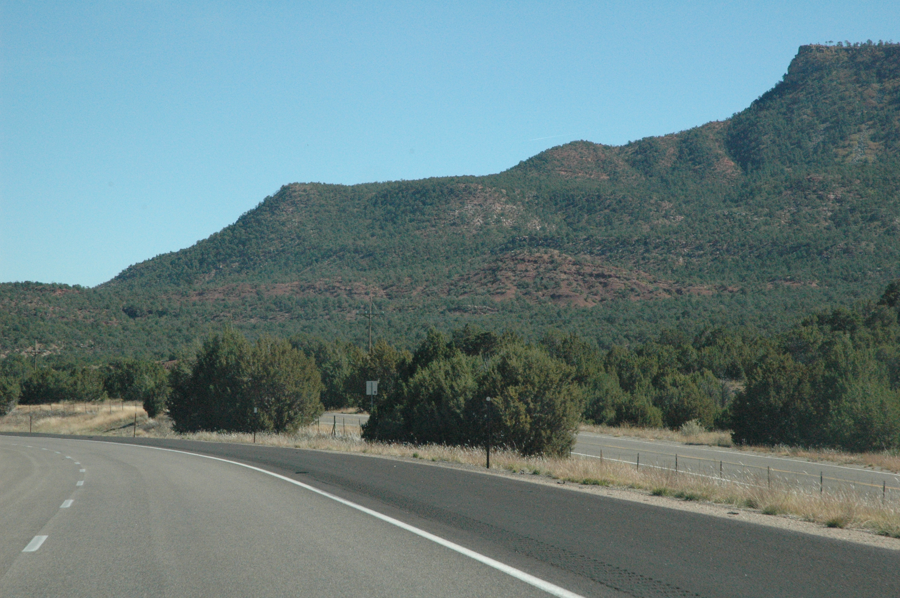
Views from Interstate 25 in northern New Mexico

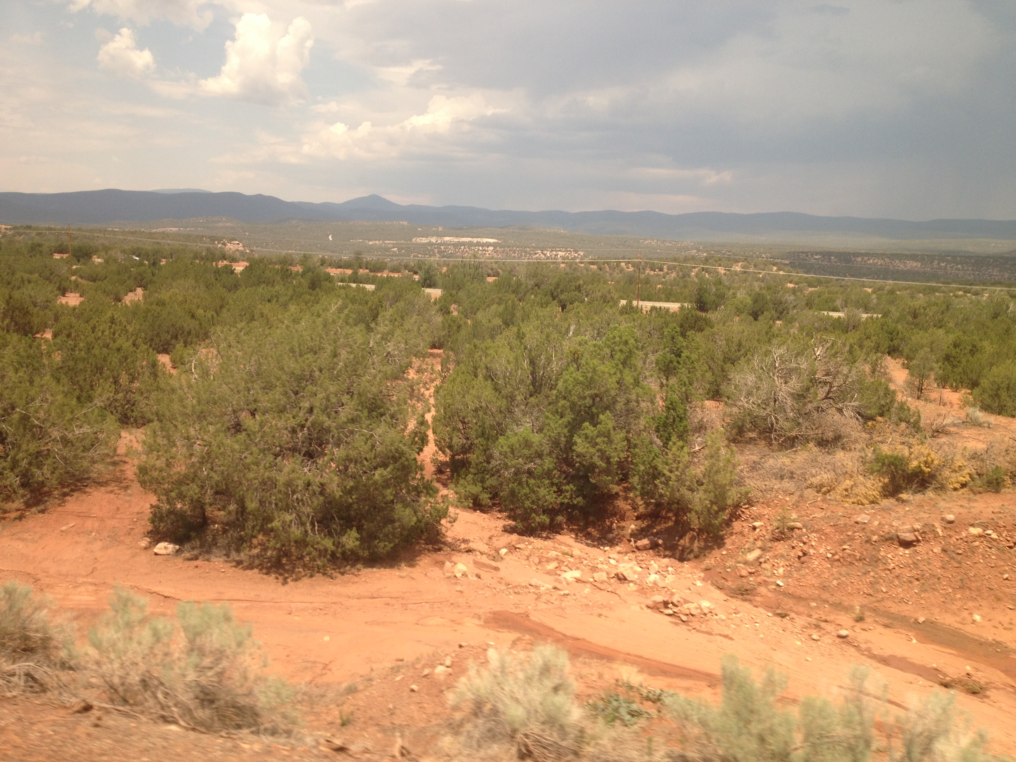
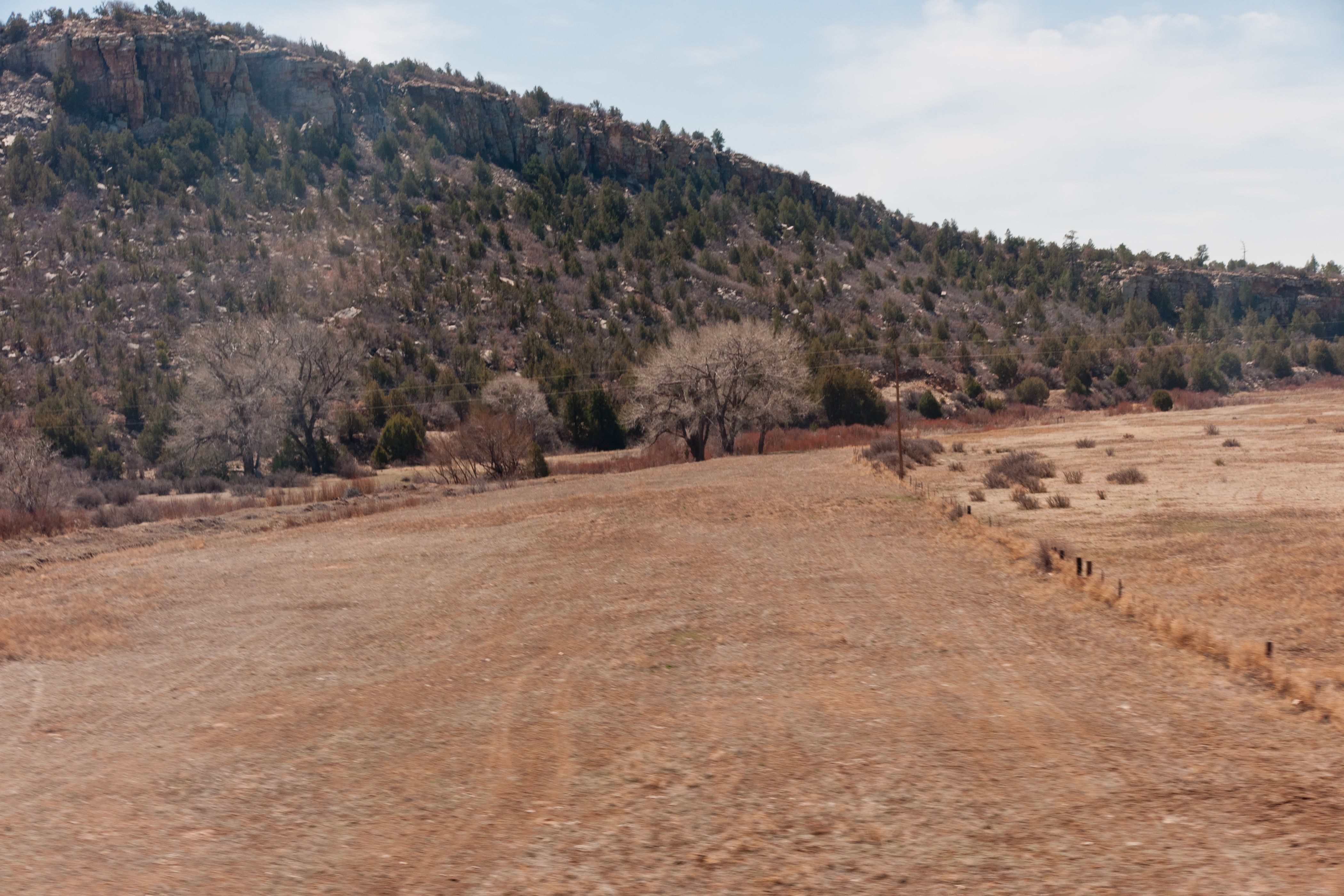
Interstate 25 from northern New Mexico
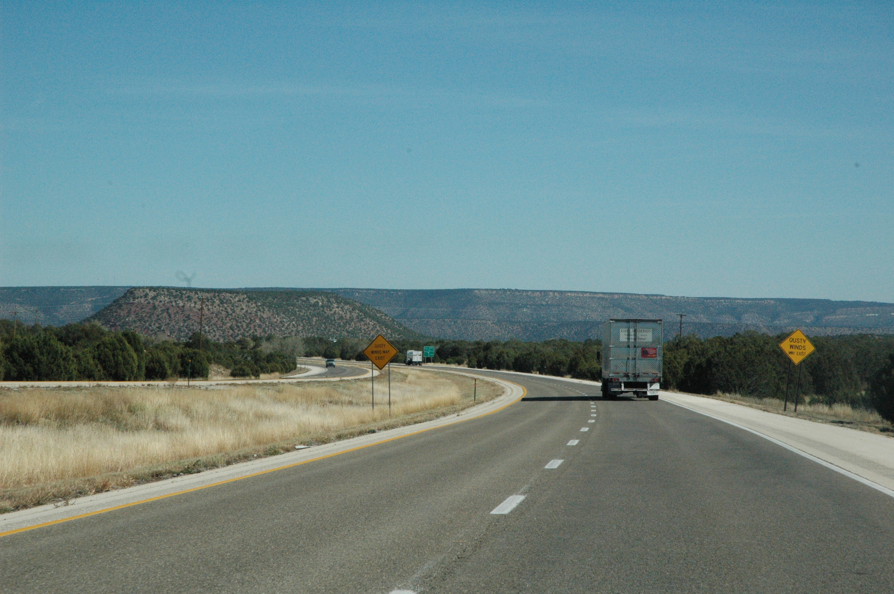
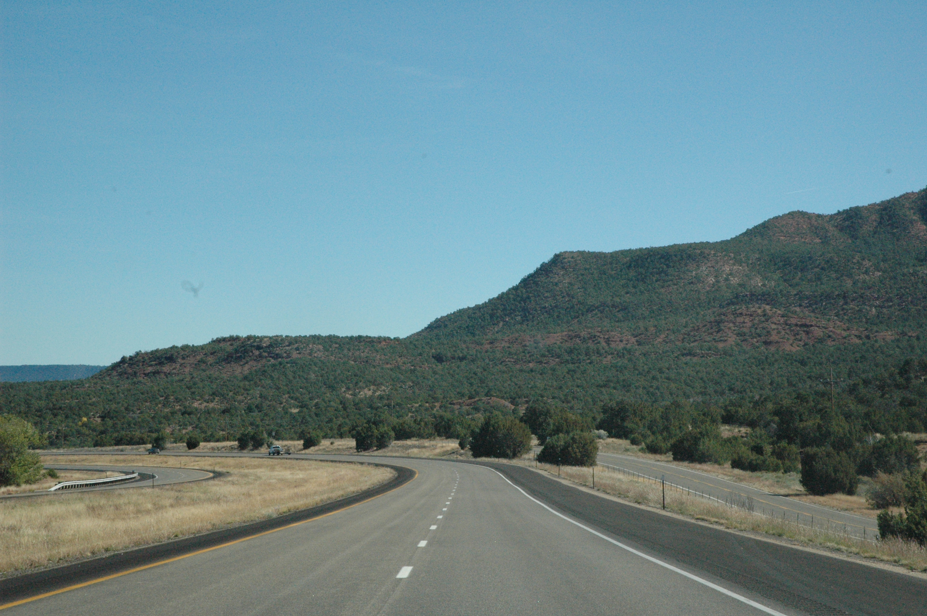
Views from Interstate 25 in northern New Mexico

Interstate 25 from northern New Mexico

Interstate 25 from northern New Mexico
Interstate 25 from northern New Mexico

Interstate 25 from northern New Mexico
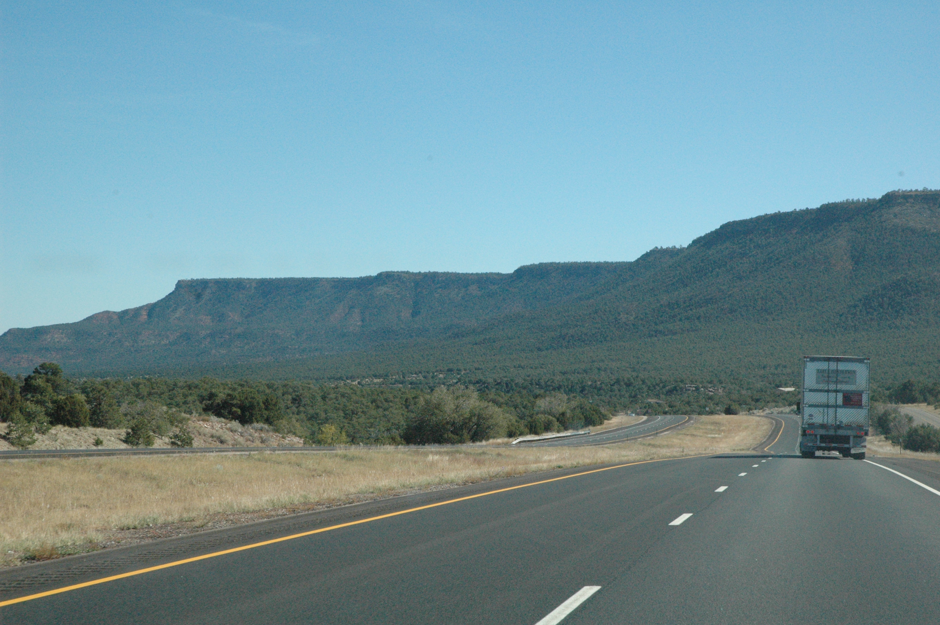
Views from Interstate 25 in northern New Mexico
Interstate 25 from northern New Mexico
2013-07-05 13.35.24
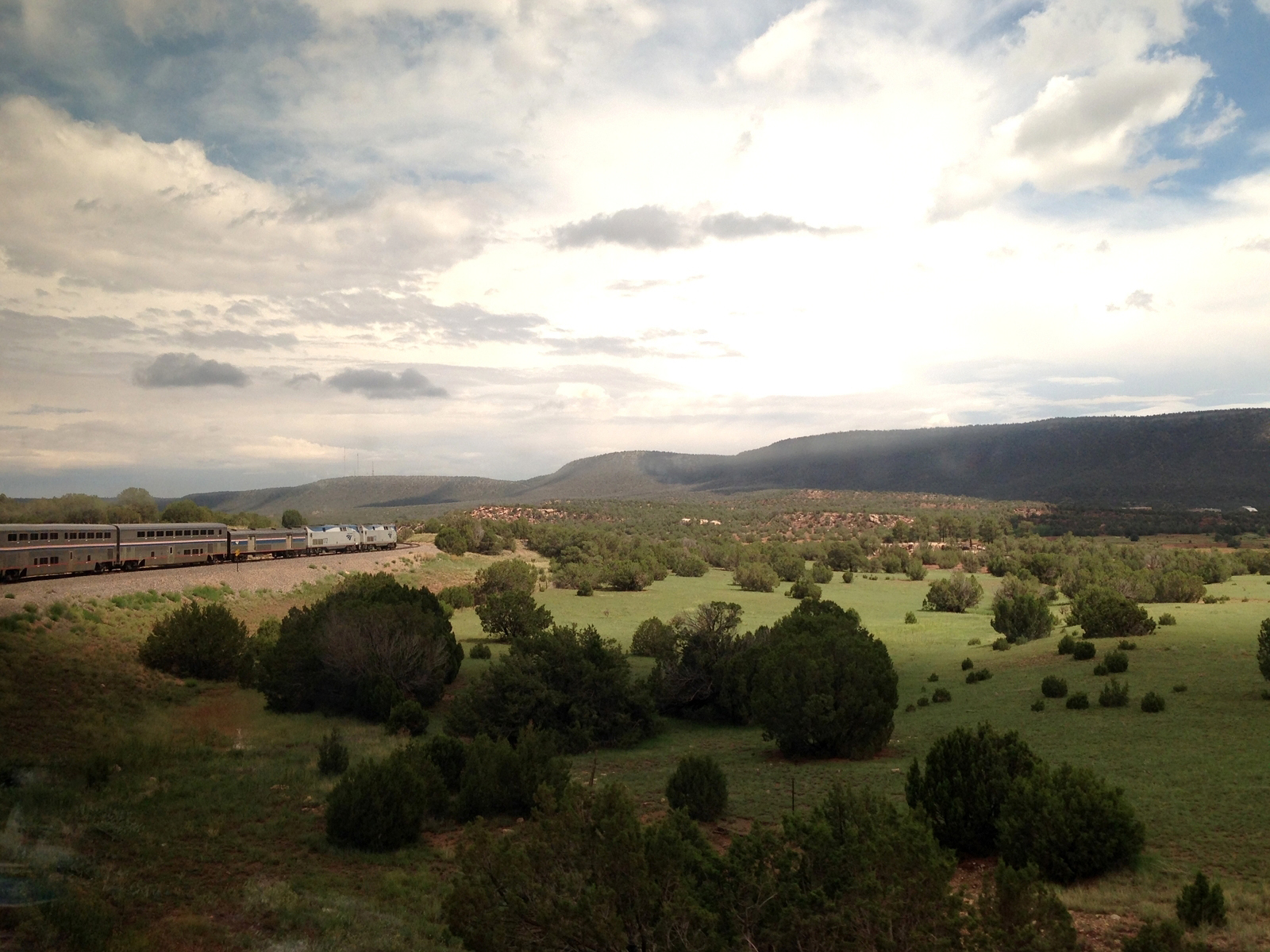
The Southwest Chief
Southwest Chief Working Through New Mexico
1-DSC02864
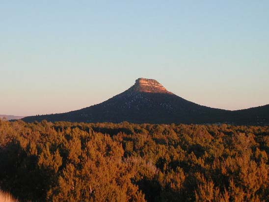
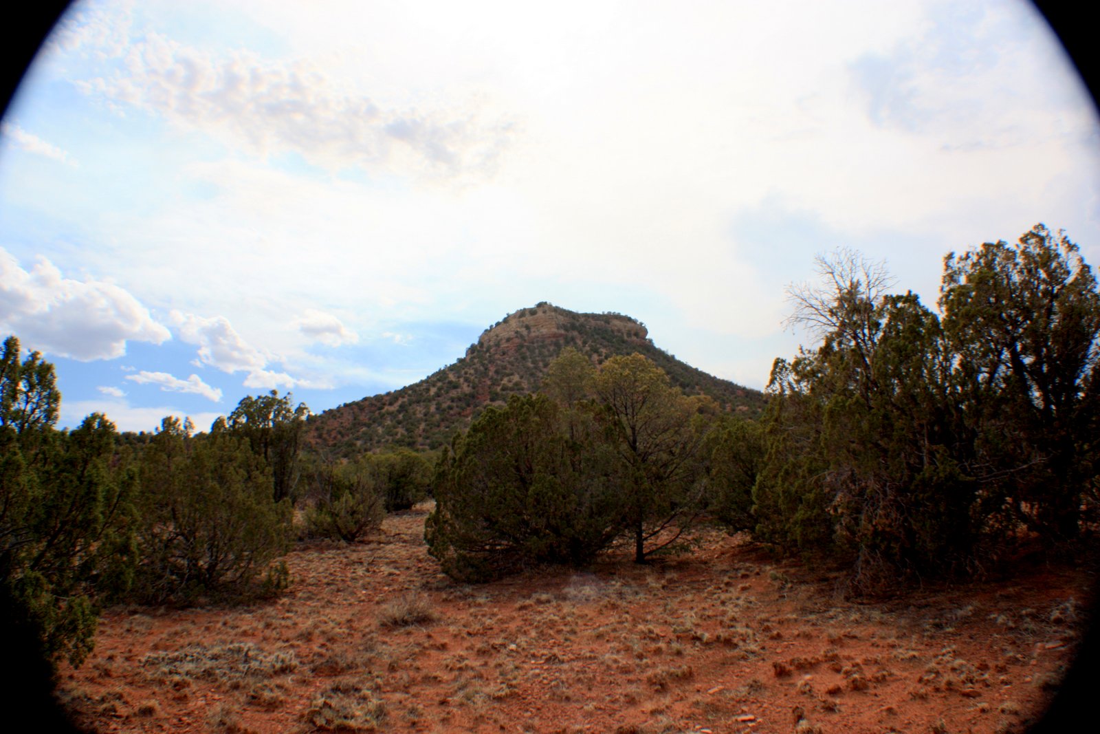
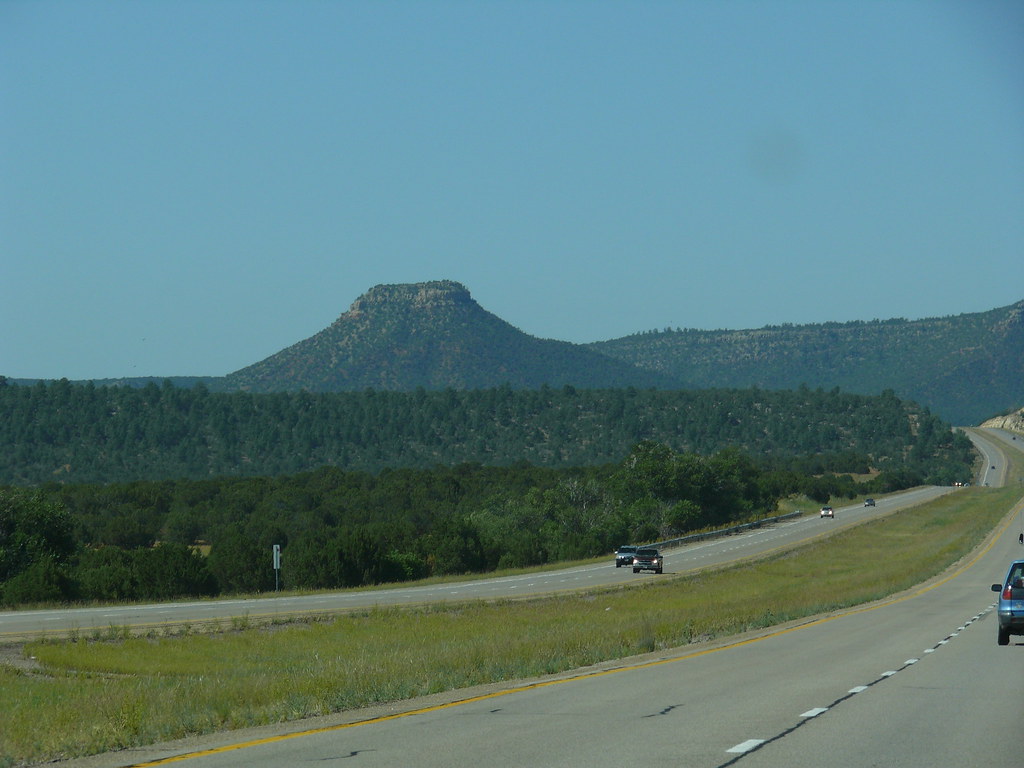
Starvation Peak
1-IMG_9294

2013-07-05 13.35.08
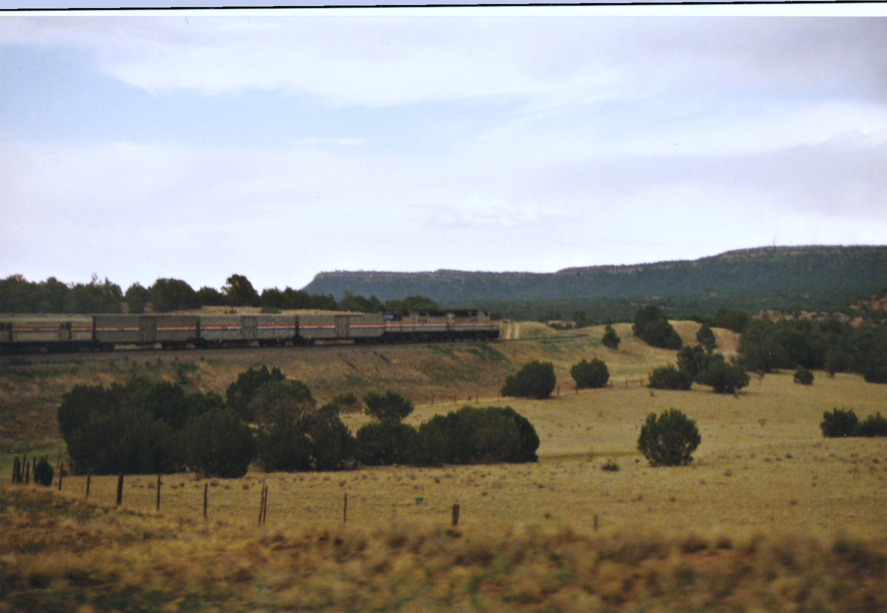
Train Ride
Looking Back At The Tracks
2013-07-05 13.36.14
2013-07-05 13.35.07
P1010652.jpg
1-DSC02836
Copper Canyon
Copper Canyon
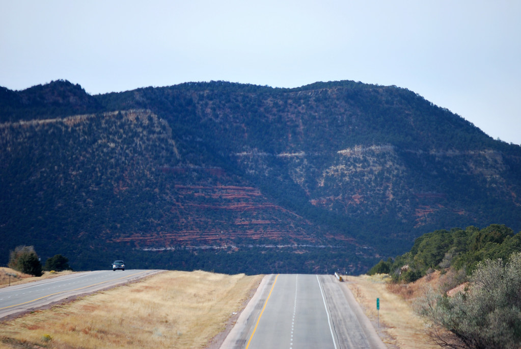
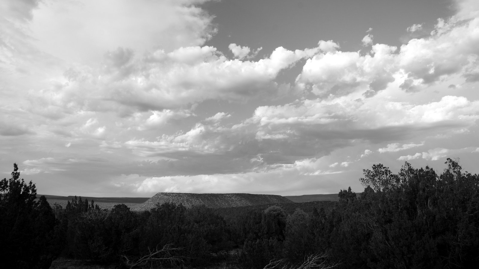
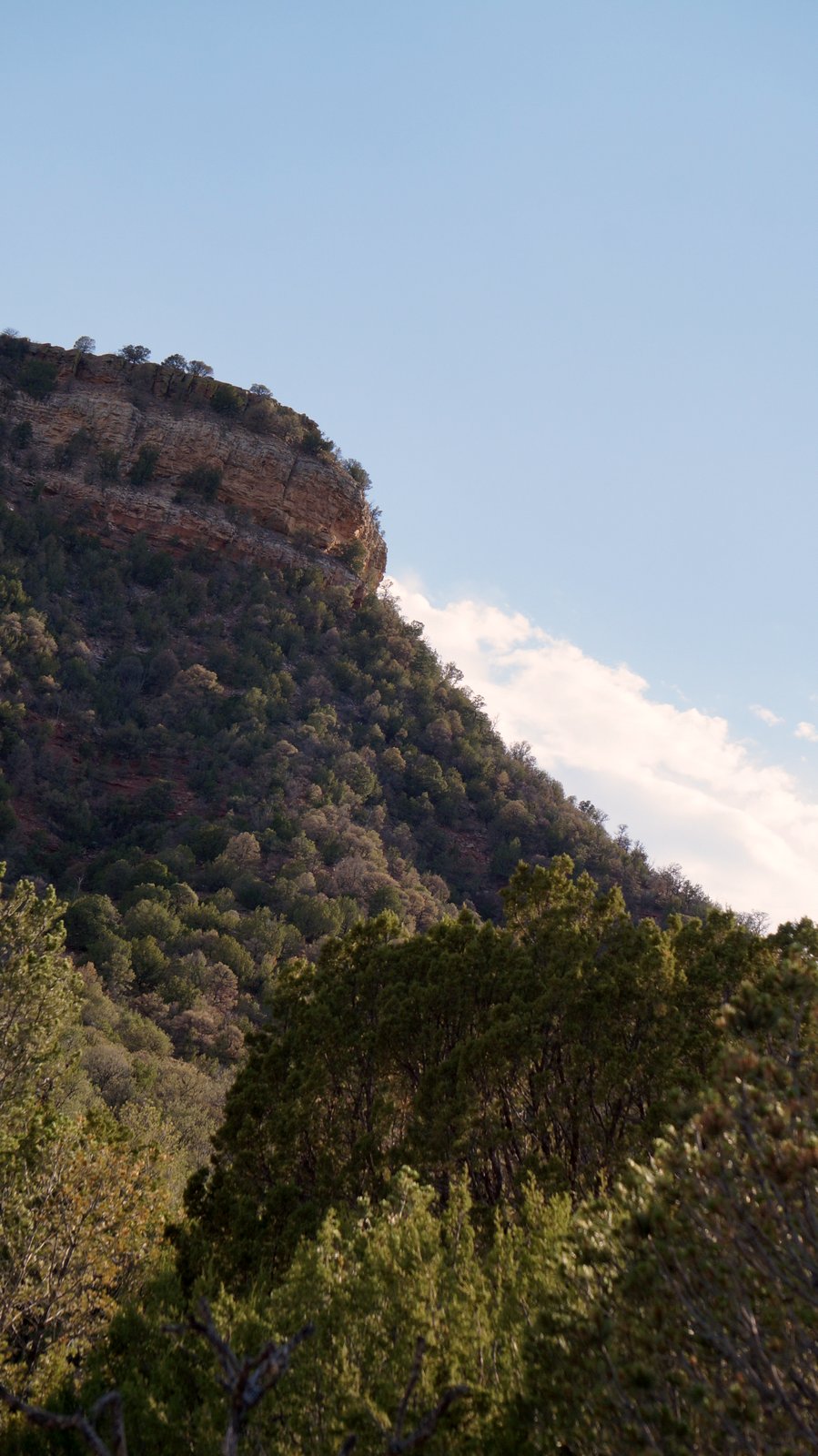
Red and Green Slopes
Topographic Map of Pecos River Cliff House, 74 Co Rd B41A, San Jose, NM, USA
Find elevation by address:

Places near Pecos River Cliff House, 74 Co Rd B41A, San Jose, NM, USA:
2 Regalia Ln, San Jose, NM, USA
San Jose
San Jose, NM, USA
Calle Largo
Ilfeld, NM, USA
South San Ysidro
Barillas Peak
Rowe
Red Tail Ridge
49 Silver Feather Trail
Mirasol Lane
Pecos
17 Via Getruditas Loop
Santa Fe, NM, USA
37 Sweet Clover Ln
20 Indian View Rd
26 Hummingbird Ln
La Cueva
150 Avenida Ponderosa
11 Nm-50
Recent Searches:
- Elevation of Corso Fratelli Cairoli, 35, Macerata MC, Italy
- Elevation of Tallevast Rd, Sarasota, FL, USA
- Elevation of 4th St E, Sonoma, CA, USA
- Elevation of Black Hollow Rd, Pennsdale, PA, USA
- Elevation of Oakland Ave, Williamsport, PA, USA
- Elevation of Pedrógão Grande, Portugal
- Elevation of Klee Dr, Martinsburg, WV, USA
- Elevation of Via Roma, Pieranica CR, Italy
- Elevation of Tavkvetili Mountain, Georgia
- Elevation of Hartfords Bluff Cir, Mt Pleasant, SC, USA