Elevation map of Bardhaman, West Bengal, India
Location: India > West Bengal >
Longitude: 87.6186379
Latitude: 23.4595265
Elevation: 73m / 240feet
Barometric Pressure: 100KPa
Elevation Map:
Satellite Map:
Related Photos:

Unknown Faces of Rural Bengal
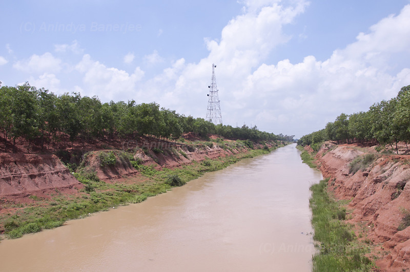
Mankar Canal

2012-0961 West Bengal

2012-0962 West Bengal

Pandu Rajar Dhibi / পাণ্ডু রাজার ঢিবি, পাঁরুখ

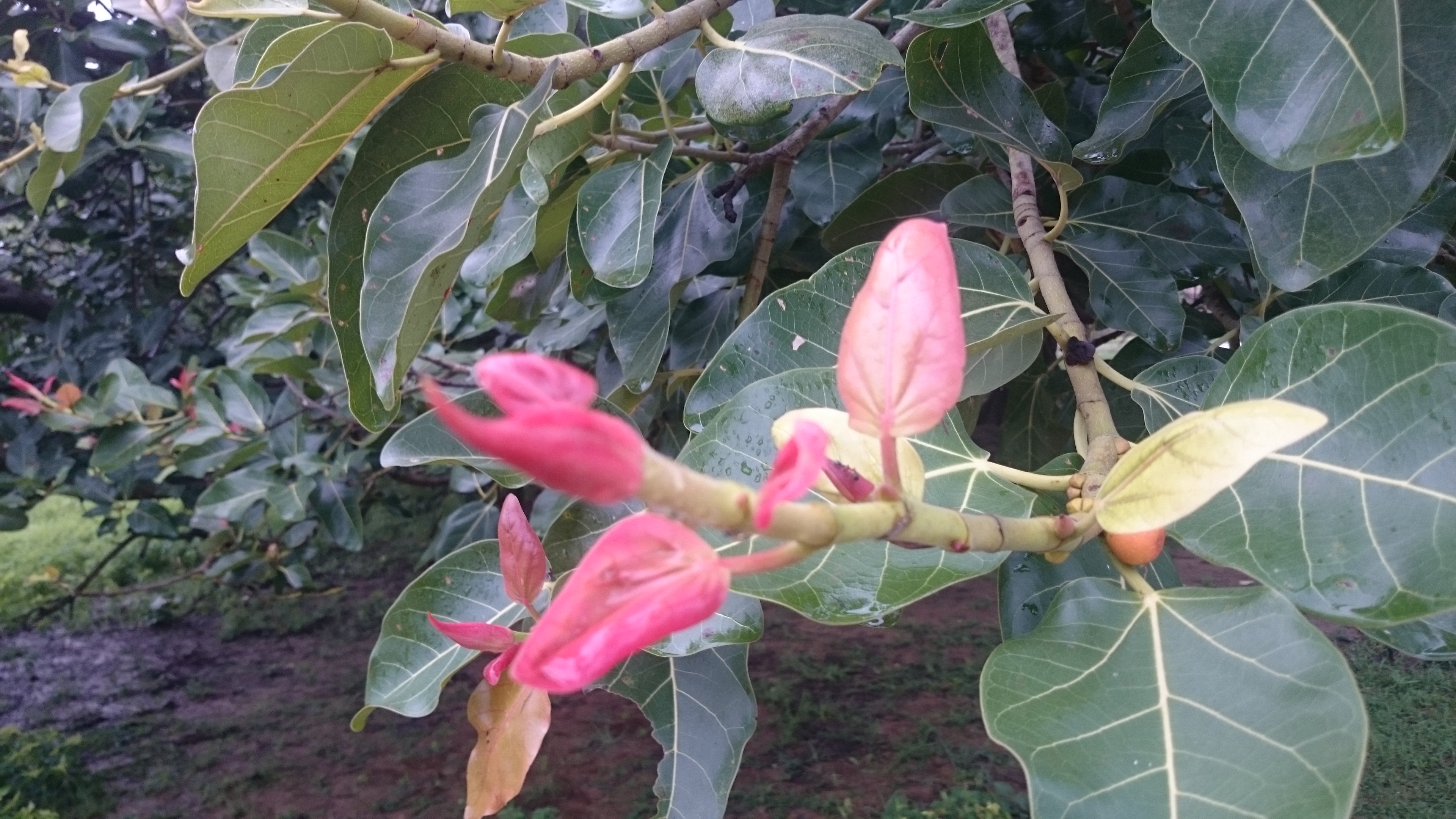
Lord Ganesha
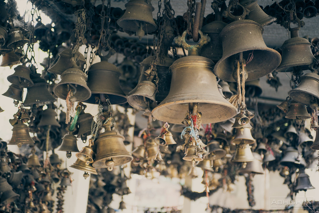
A Thousand Bells

Koel Kankona
Shantiniketan Trip

Shantiniketan Trip
Topographic Map of Bardhaman, West Bengal, India
Find elevation by address:

Places in Bardhaman, West Bengal, India:
Places near Bardhaman, West Bengal, India:
Haora
Panagarh
Panagarh Gram
Panagarh Bypass
Durgapur
Khosbagan Main Road
Khosbagan
Burdwan
Saraswati Mata Mondir
Birbhum
Joypur
West Bengal
Jhapandanga
Abujhati
Krishnanagar Rajbari
Krishnanagar
Fulia Bus Stand
Chatkatala
Phulia
Nadia
Recent Searches:
- Elevation of Corso Fratelli Cairoli, 35, Macerata MC, Italy
- Elevation of Tallevast Rd, Sarasota, FL, USA
- Elevation of 4th St E, Sonoma, CA, USA
- Elevation of Black Hollow Rd, Pennsdale, PA, USA
- Elevation of Oakland Ave, Williamsport, PA, USA
- Elevation of Pedrógão Grande, Portugal
- Elevation of Klee Dr, Martinsburg, WV, USA
- Elevation of Via Roma, Pieranica CR, Italy
- Elevation of Tavkvetili Mountain, Georgia
- Elevation of Hartfords Bluff Cir, Mt Pleasant, SC, USA