Elevation of Joypur, West Bengal, India
Location: India > West Bengal > Bankura >
Longitude: 87.4480115
Latitude: 23.0551658
Elevation: 62m / 203feet
Barometric Pressure: 0KPa
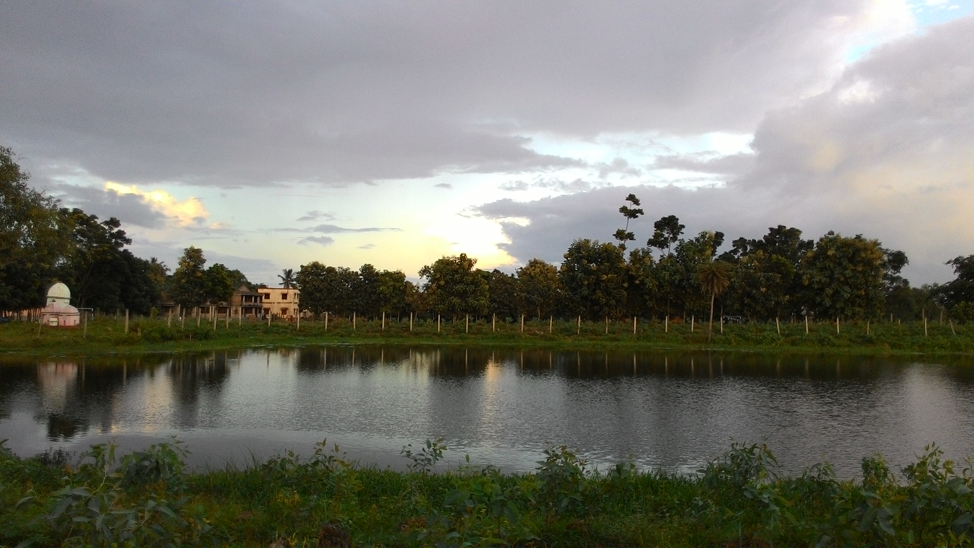
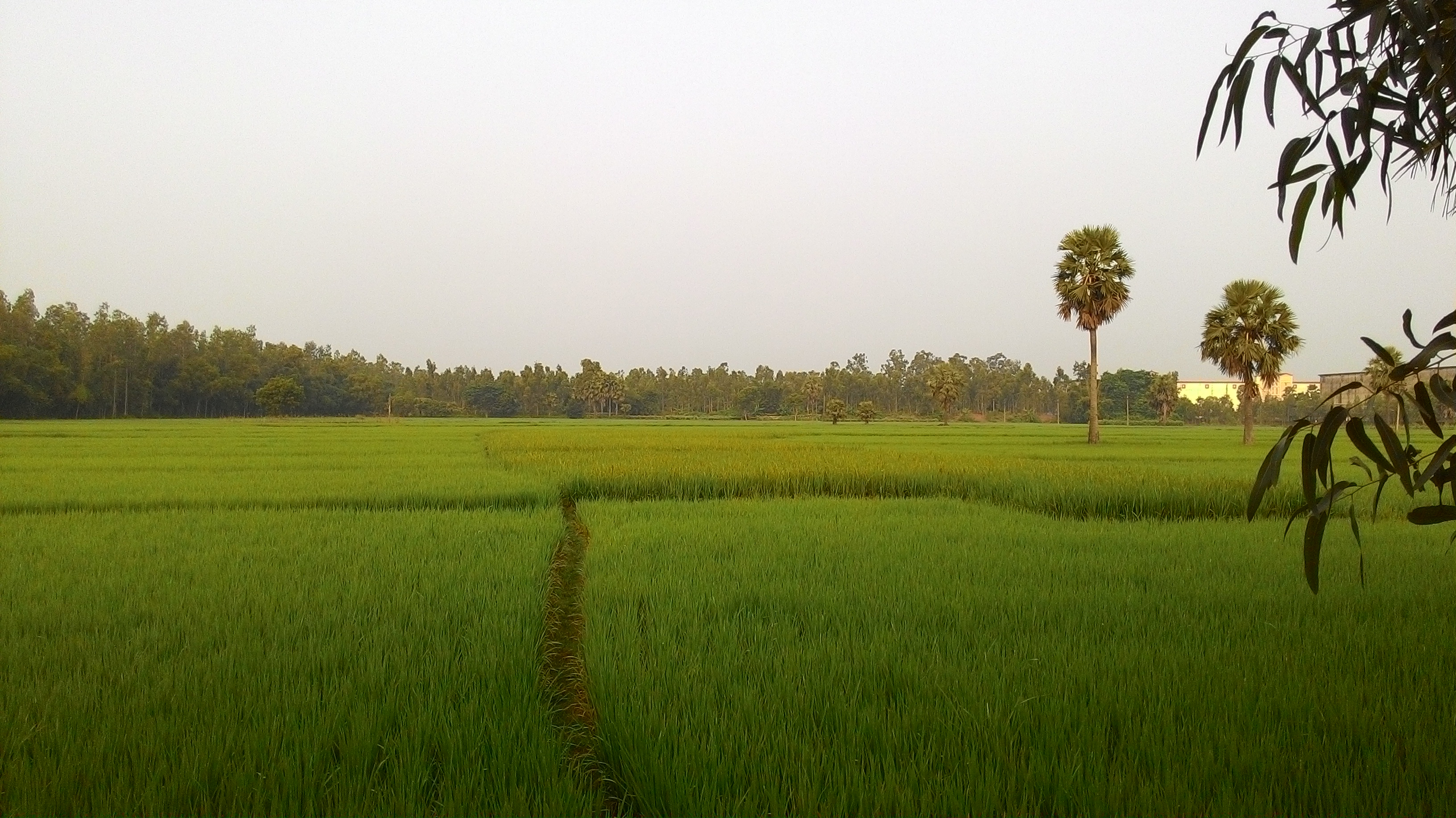
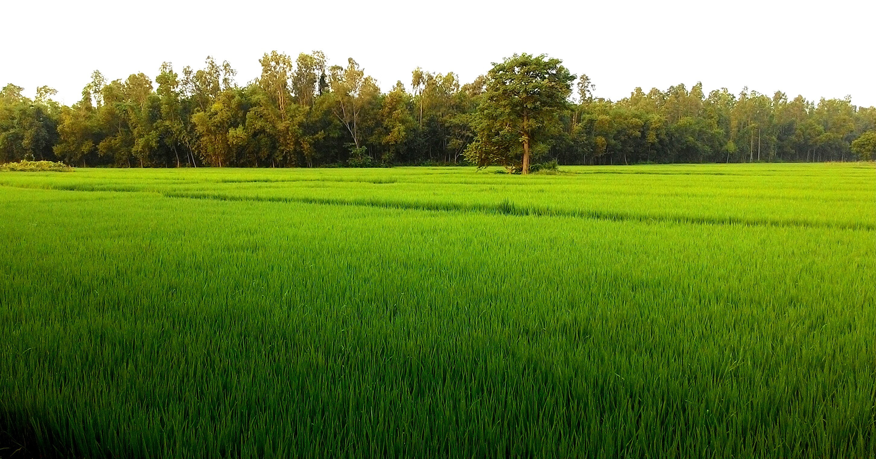
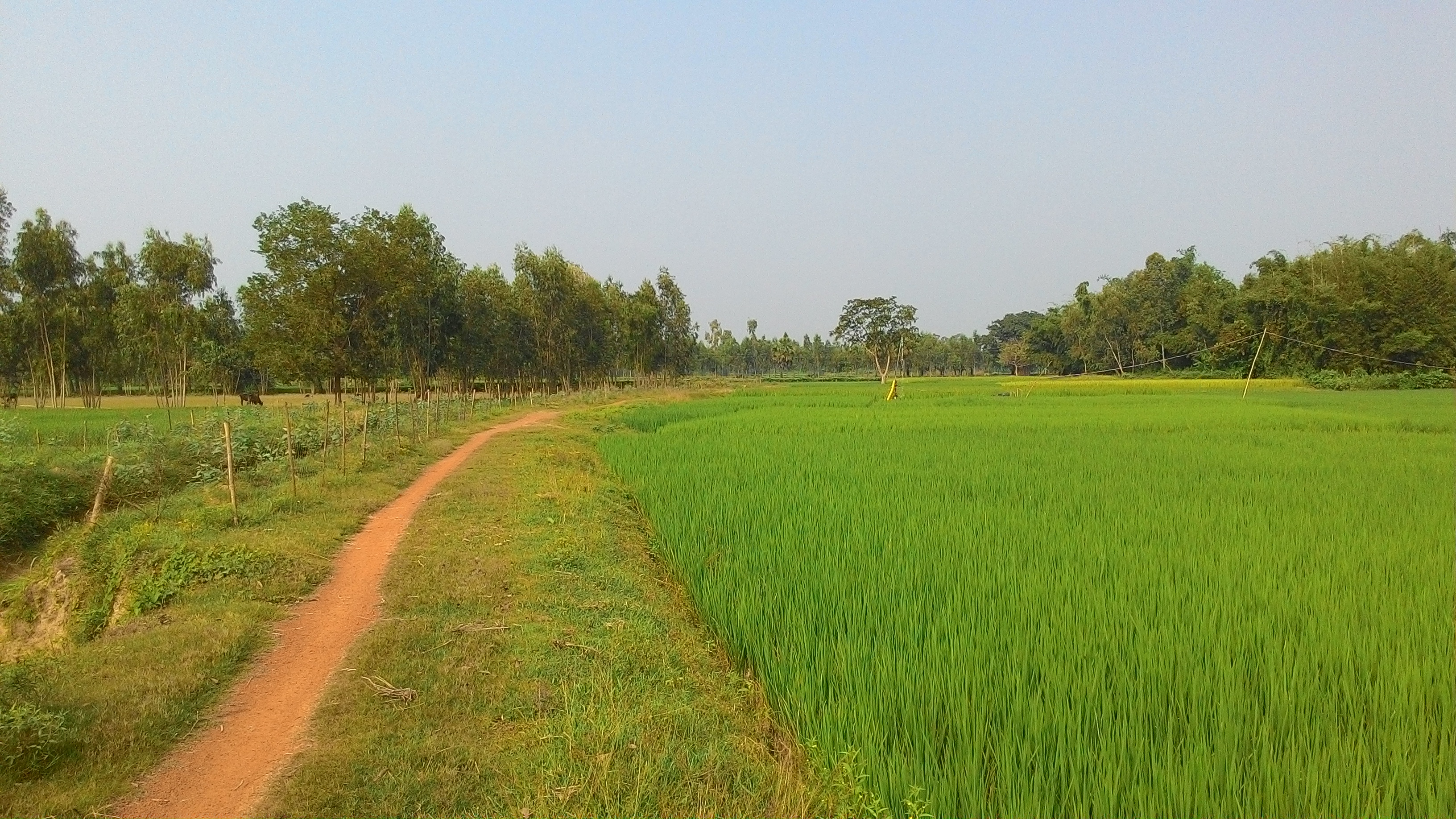
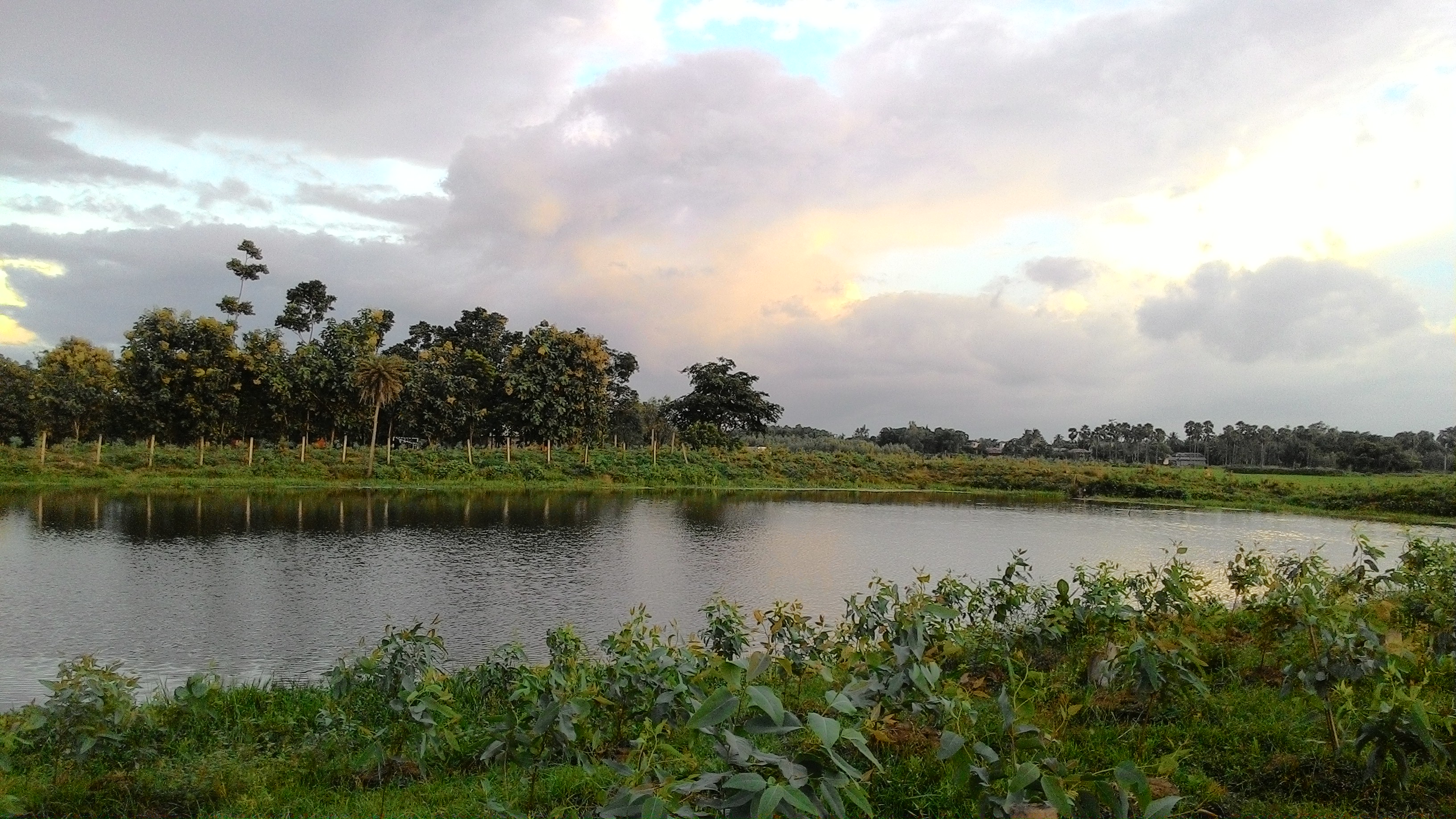
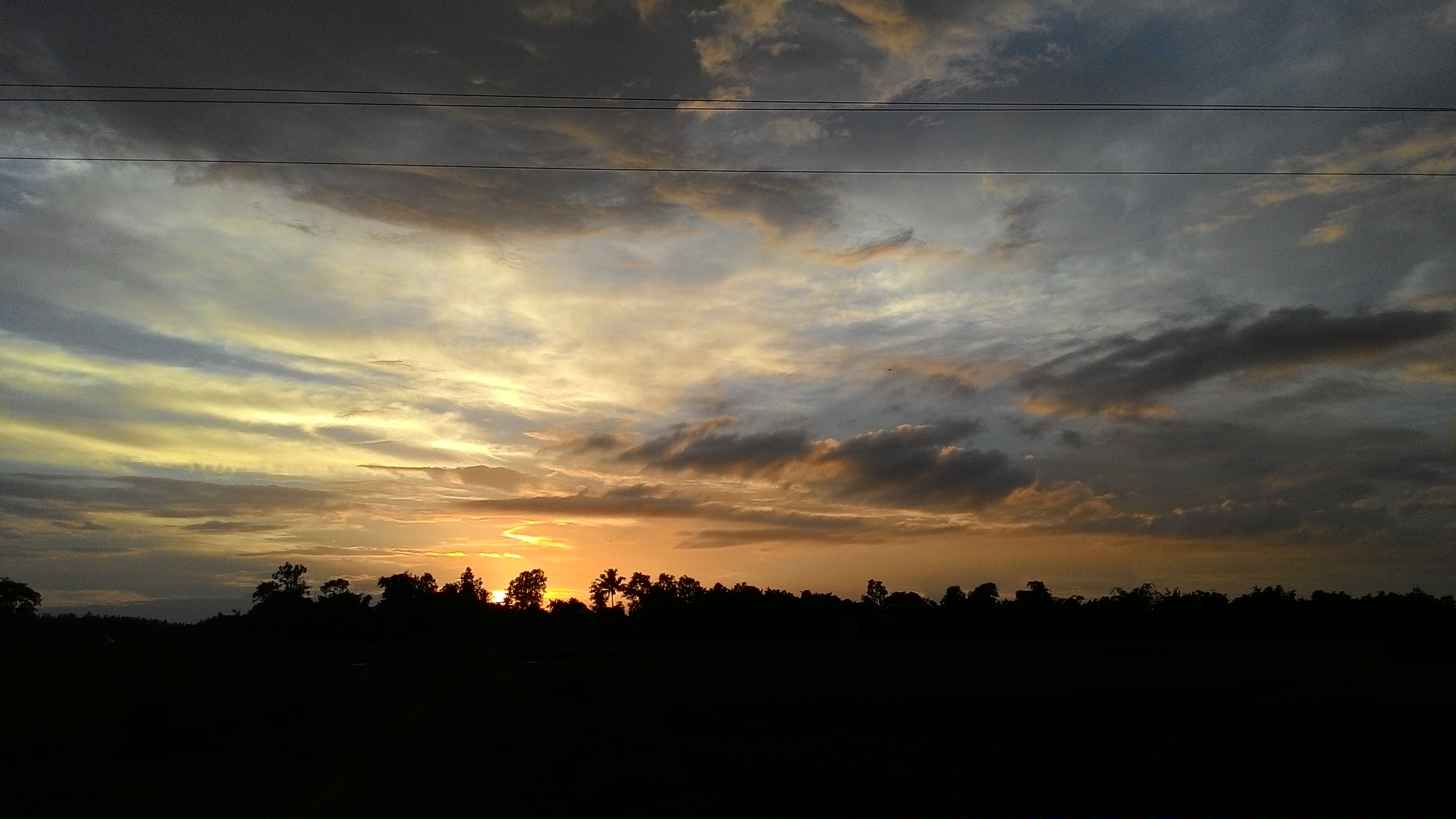
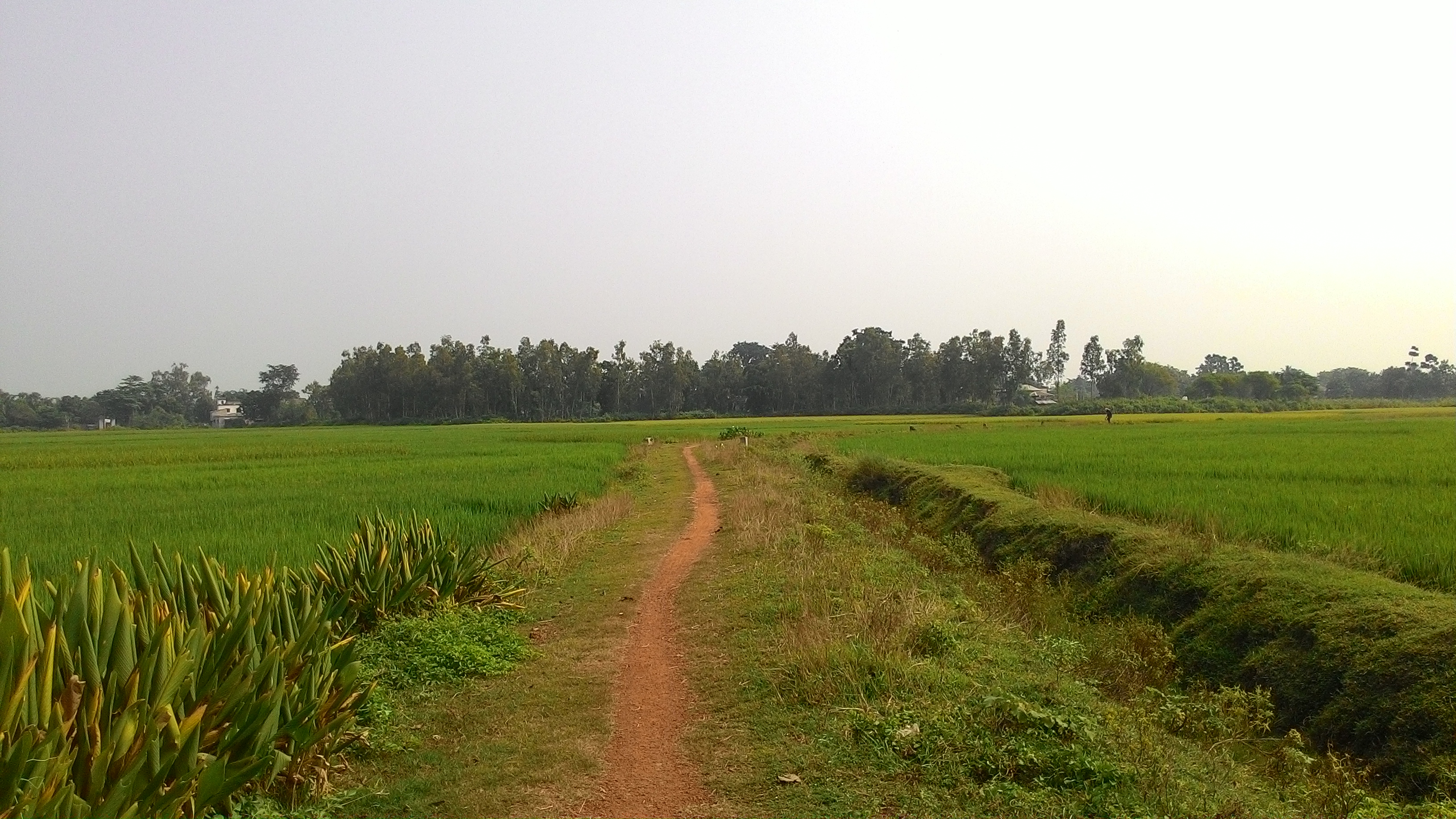
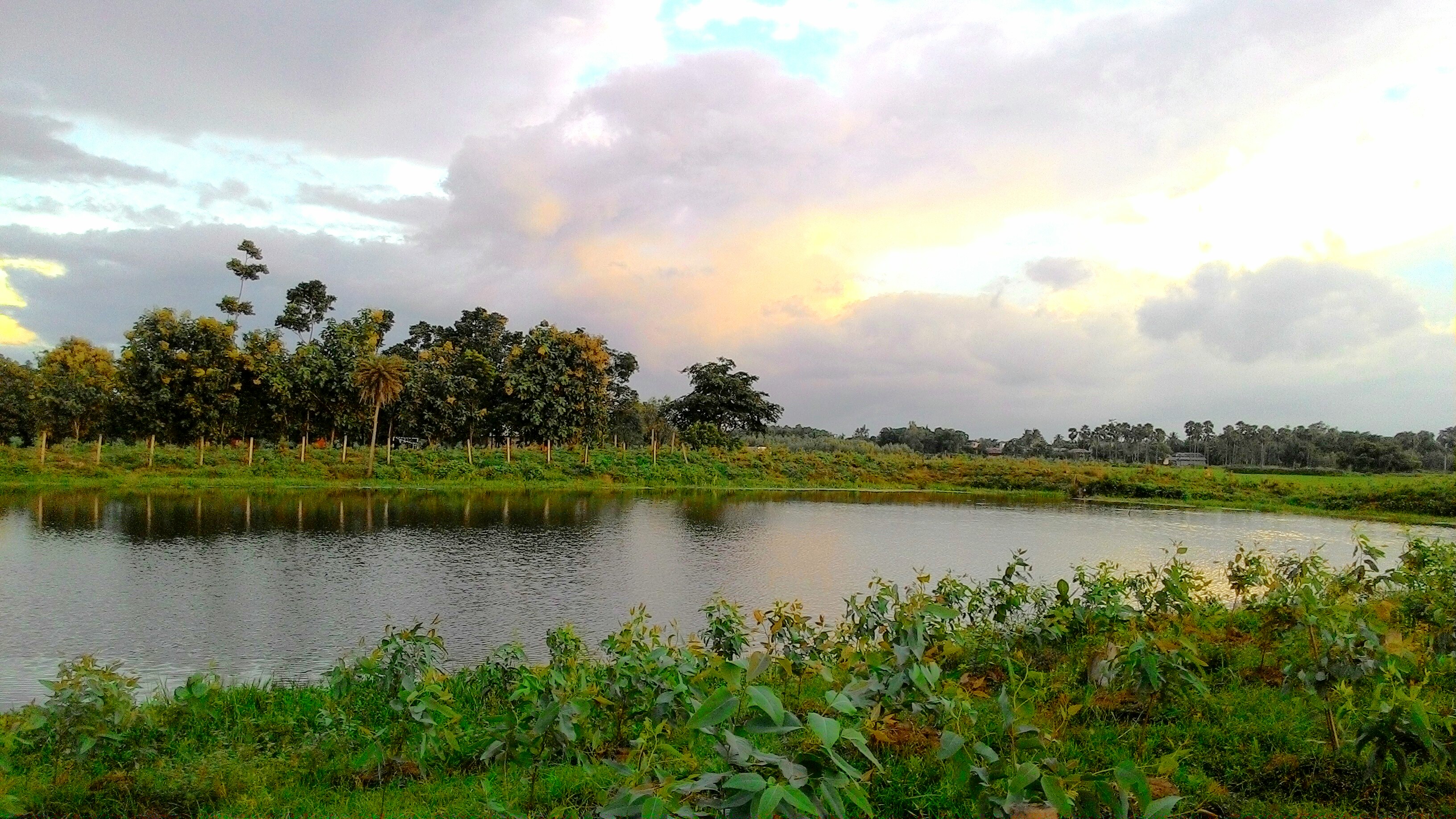
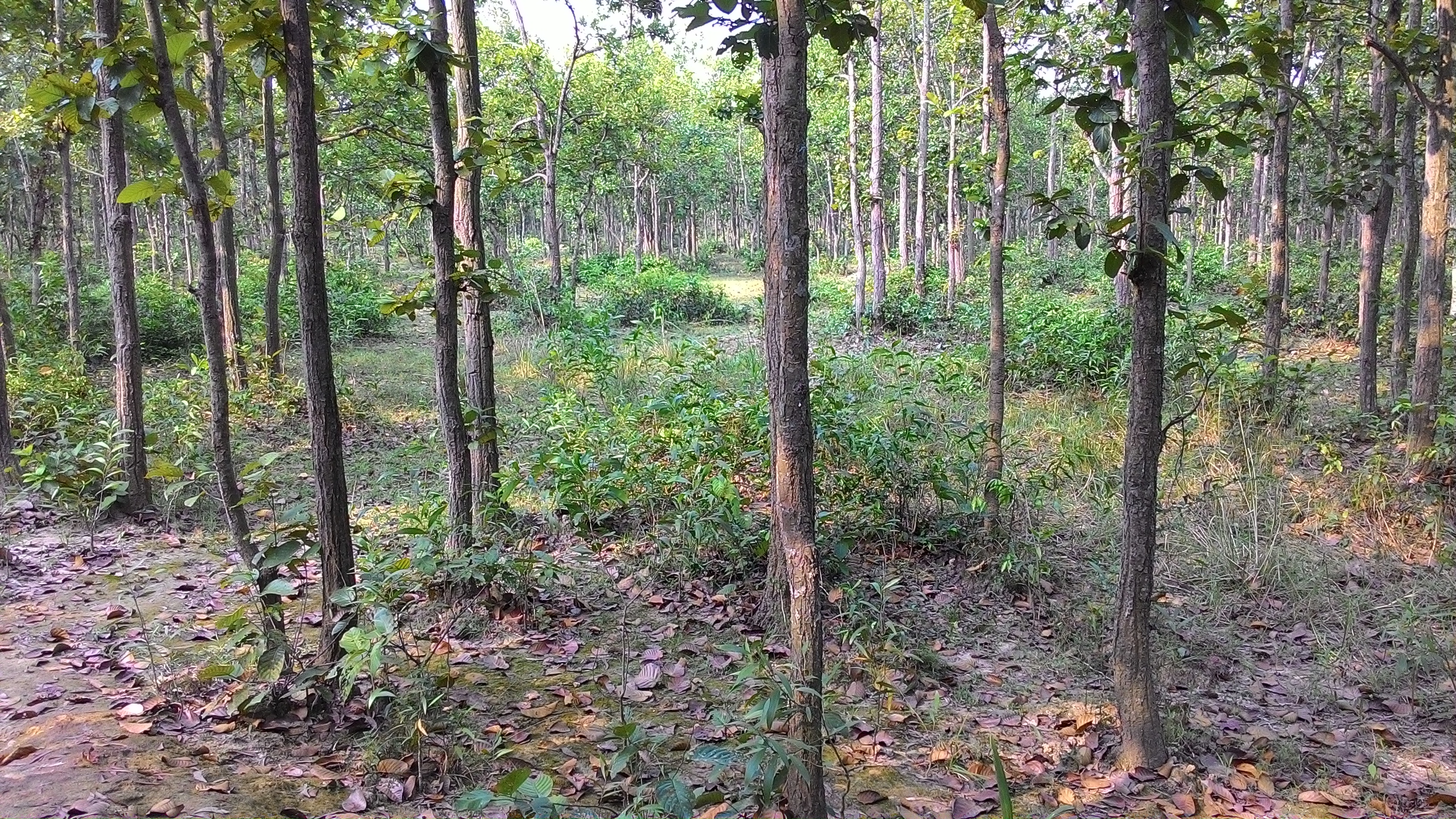
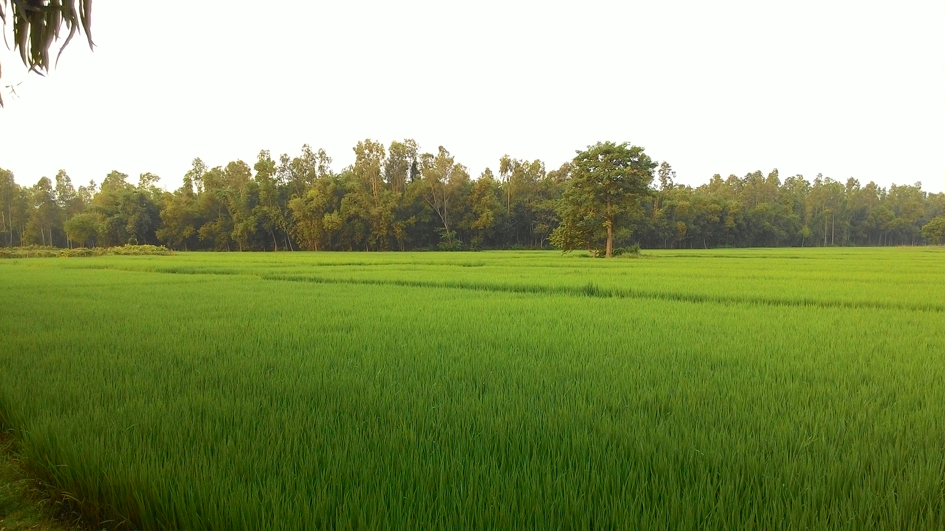
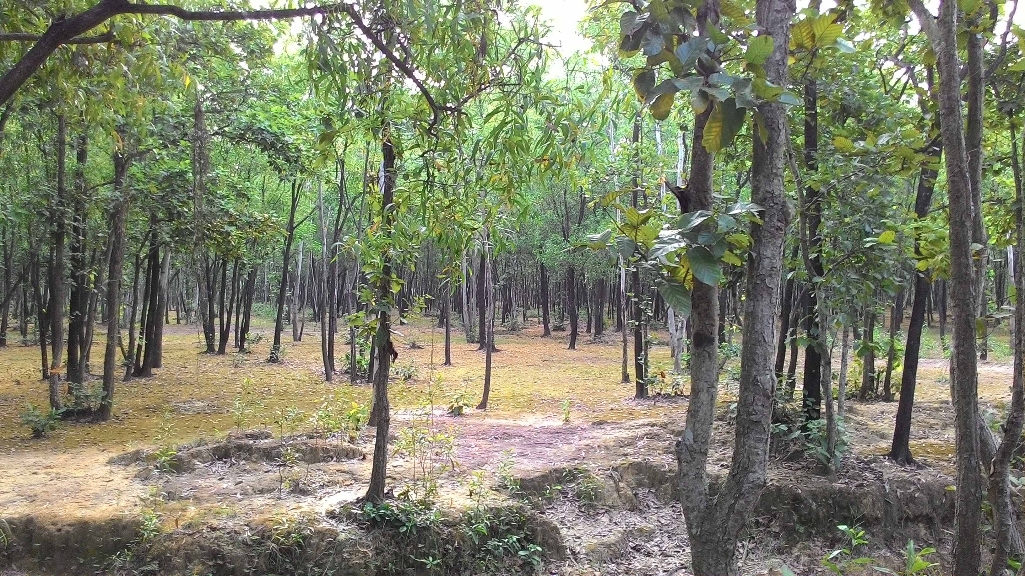
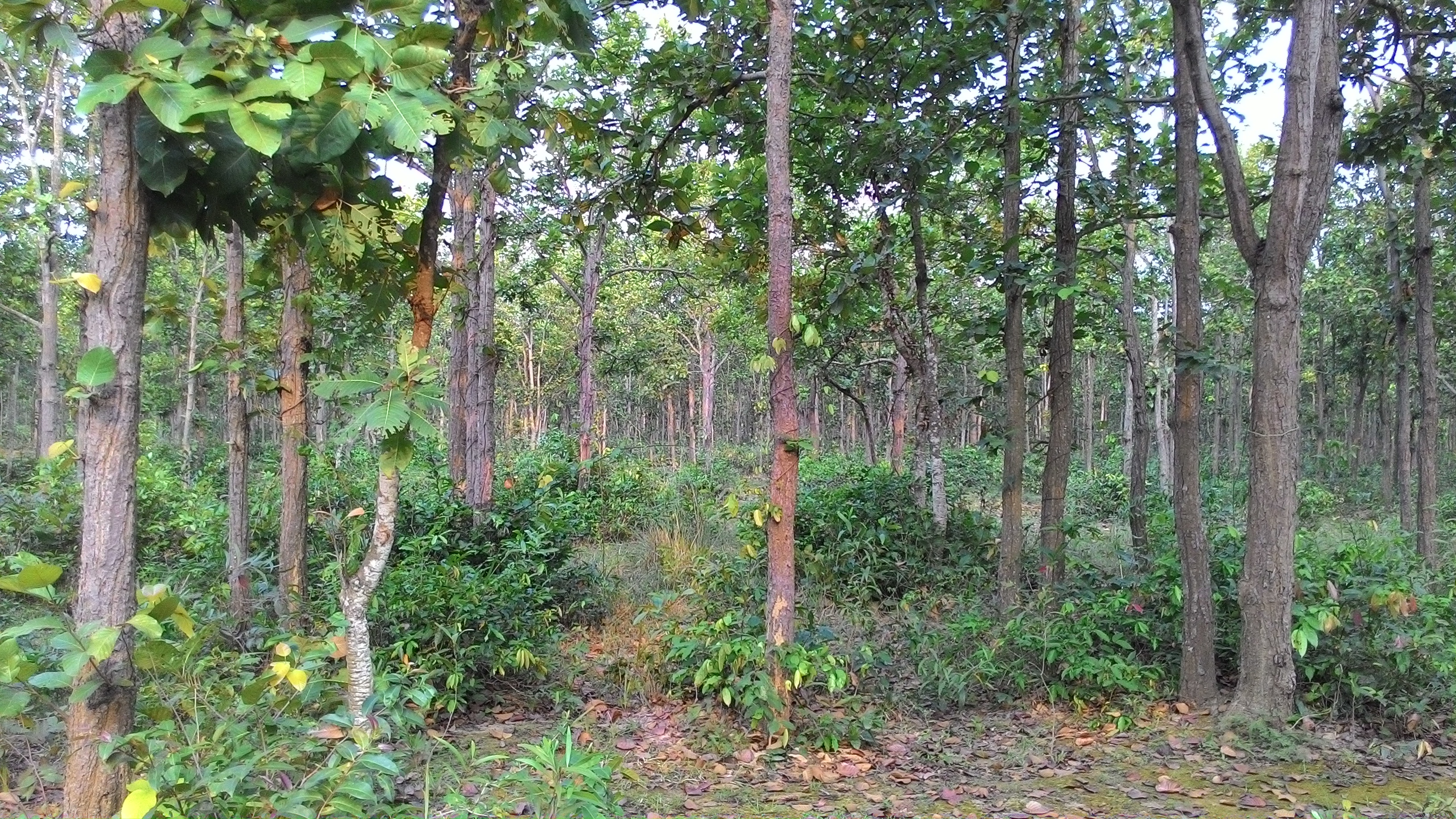
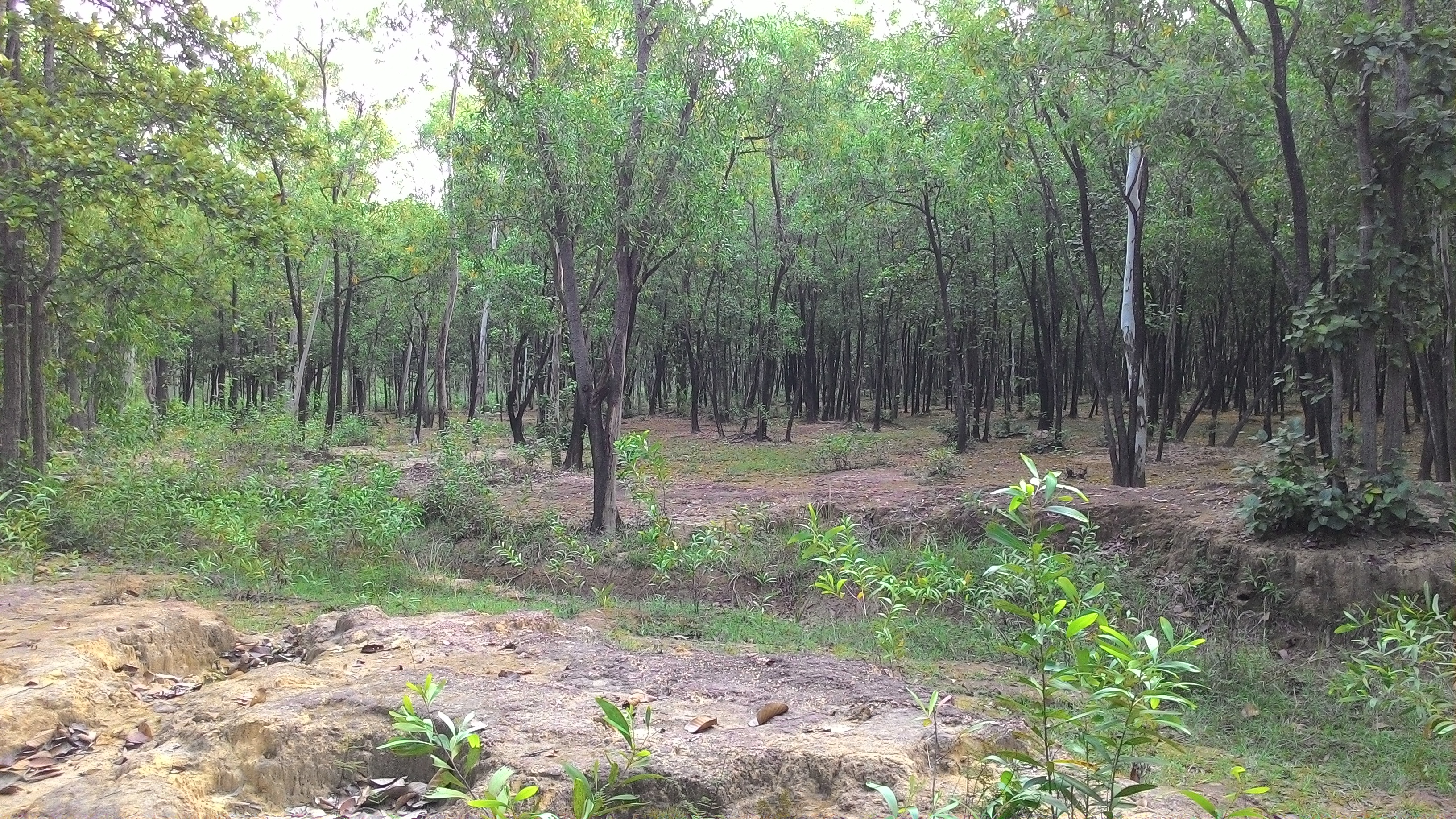
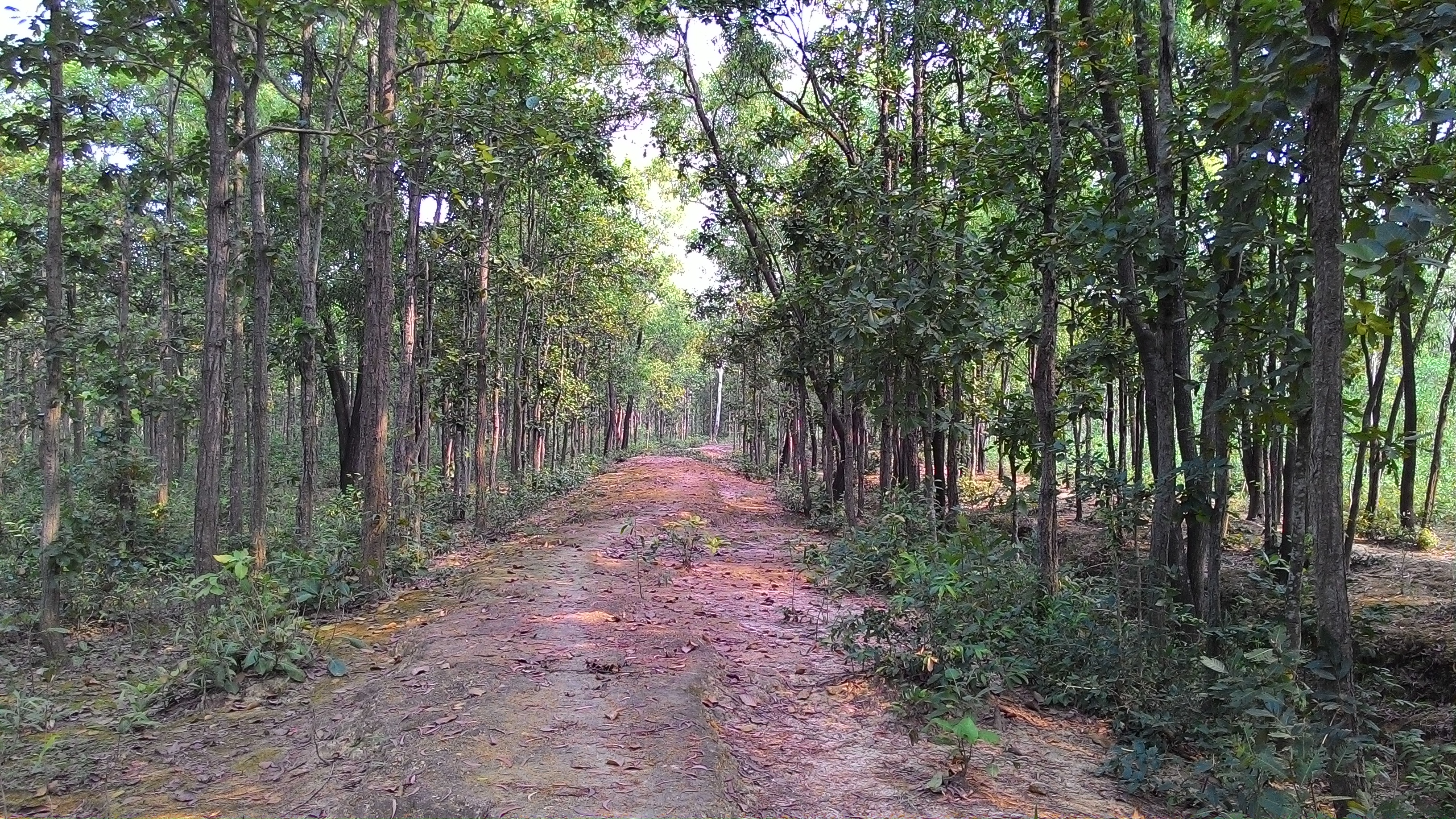
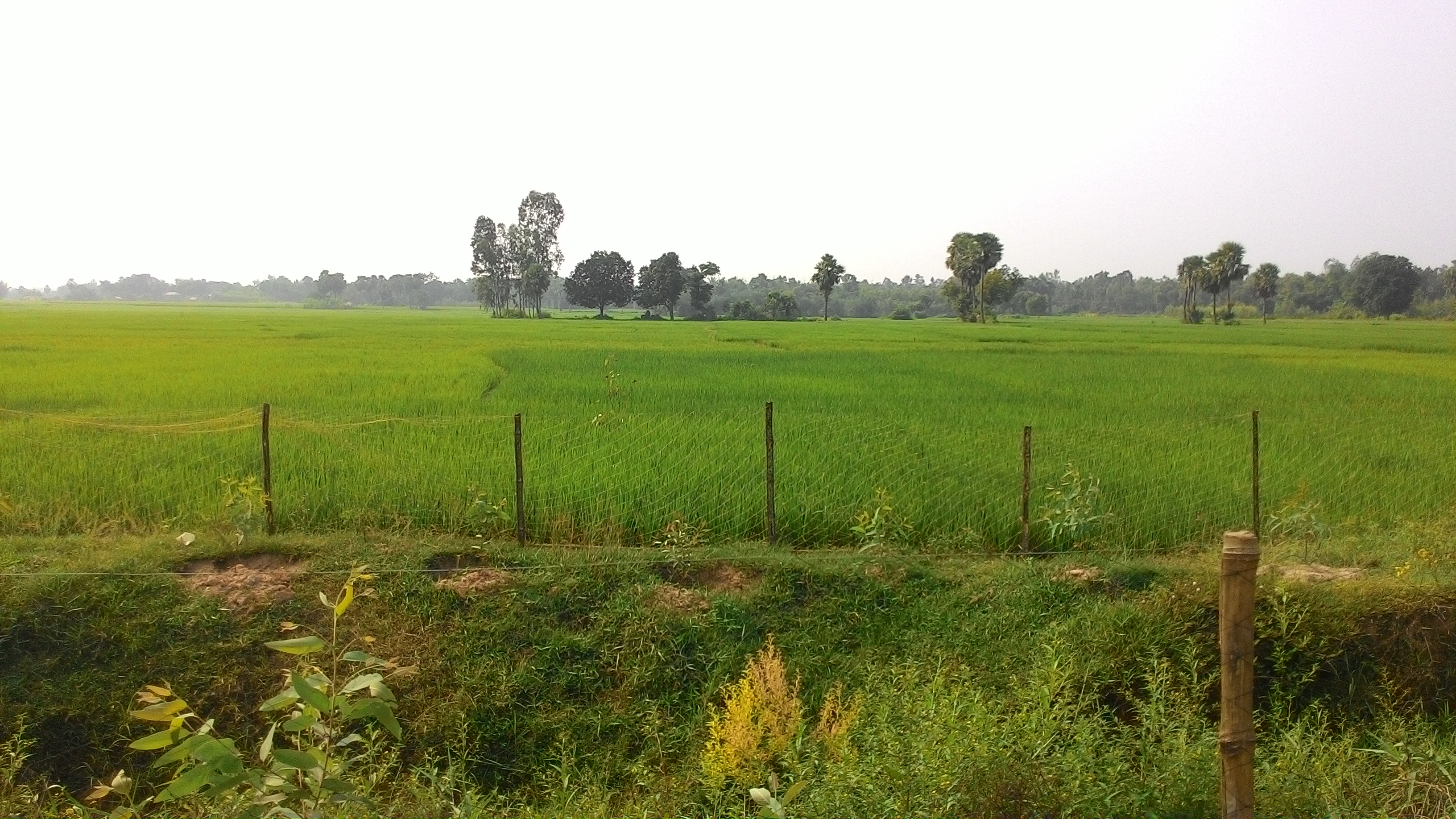
Related Photos:
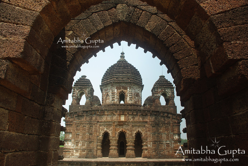
GokulChand Temple, Bankura : View from Natmandap
P_20140906_173744
P_20141004_064124

P_20141004_071607
P_20141004_064136_1
P_20141004_085227
P_20140906_173751
P_20140906_174328
P_20141004_090552

P_20140906_173526_LL_1
P_20140906_173751_1
P_20141004_082335

P_20140906_173744_1
P_20141004_064136
P_20141004_070648
P_20141004_070728
P_20141004_070836
P_20141004_082324
P_20141004_085239
P_20140906_173911
Topographic Map of Joypur, West Bengal, India
Find elevation by address:

Places near Joypur, West Bengal, India:
Saraswati Mata Mondir
Haora
Panagarh
Panagarh Gram
Panagarh Bypass
West Bengal
Bardhaman
Khosbagan Main Road
Burdwan
Khosbagan
Durgapur
Jhapandanga
Abujhati
Howrah
Birbhum
Krishnapur
Howrah
Chinsurah
Bhatpara
Maheshtala
Recent Searches:
- Elevation of Sullivan Hill, New York, New York, 10002, USA
- Elevation of Morehead Road, Withrow Downs, Charlotte, Mecklenburg County, North Carolina, 28262, USA
- Elevation of 2800, Morehead Road, Withrow Downs, Charlotte, Mecklenburg County, North Carolina, 28262, USA
- Elevation of Yangbi Yi Autonomous County, Yunnan, China
- Elevation of Pingpo, Yangbi Yi Autonomous County, Yunnan, China
- Elevation of Mount Malong, Pingpo, Yangbi Yi Autonomous County, Yunnan, China
- Elevation map of Yongping County, Yunnan, China
- Elevation of North 8th Street, Palatka, Putnam County, Florida, 32177, USA
- Elevation of 107, Big Apple Road, East Palatka, Putnam County, Florida, 32131, USA
- Elevation of Jiezi, Chongzhou City, Sichuan, China
- Elevation of Chongzhou City, Sichuan, China
- Elevation of Huaiyuan, Chongzhou City, Sichuan, China
- Elevation of Qingxia, Chengdu, Sichuan, China
- Elevation of Corso Fratelli Cairoli, 35, Macerata MC, Italy
- Elevation of Tallevast Rd, Sarasota, FL, USA
- Elevation of 4th St E, Sonoma, CA, USA
- Elevation of Black Hollow Rd, Pennsdale, PA, USA
- Elevation of Oakland Ave, Williamsport, PA, USA
- Elevation of Pedrógão Grande, Portugal
- Elevation of Klee Dr, Martinsburg, WV, USA