Elevation of Fulia Bus Stand, Badkulla to Fulia Expy, Chatkatala, Phulia, West Bengal, India
Location: India > West Bengal > Nadia > Phulia > Chatkatala >
Longitude: 88.4937784
Latitude: 23.228487
Elevation: -10000m / -32808feet
Barometric Pressure: 295KPa
Elevation Map:
Satellite Map:
Related Photos:

Sunrise Oneday

We are two
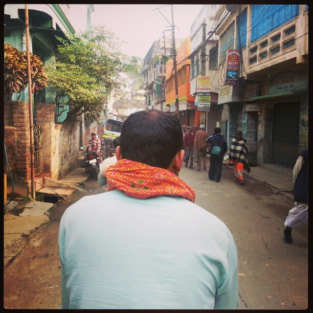
Bicycle Rickshaw Passenger View

Sun Set

.....nature....

108 Shiva temples, Kalna

The journey

Predator Grasshopper

016_Ganga River_March 21, 2012

morning time
Topographic Map of Fulia Bus Stand, Badkulla to Fulia Expy, Chatkatala, Phulia, West Bengal, India
Find elevation by address:

Places near Fulia Bus Stand, Badkulla to Fulia Expy, Chatkatala, Phulia, West Bengal, India:
Chatkatala
Phulia
Krishnanagar Rajbari
Krishnanagar
Madanpur
Nadia
Gayeshpur
Chinsurah
Naihati
Jagatdal
Kankinara
Bhatpara
Abujhati
Jhapandanga
Barrackpore
Barasat
Madhyamgram
Khardaha
No.3 Government Colony
Panihati
Recent Searches:
- Elevation of Corso Fratelli Cairoli, 35, Macerata MC, Italy
- Elevation of Tallevast Rd, Sarasota, FL, USA
- Elevation of 4th St E, Sonoma, CA, USA
- Elevation of Black Hollow Rd, Pennsdale, PA, USA
- Elevation of Oakland Ave, Williamsport, PA, USA
- Elevation of Pedrógão Grande, Portugal
- Elevation of Klee Dr, Martinsburg, WV, USA
- Elevation of Via Roma, Pieranica CR, Italy
- Elevation of Tavkvetili Mountain, Georgia
- Elevation of Hartfords Bluff Cir, Mt Pleasant, SC, USA