Elevation of Barbara Rd, Redding, CA, USA
Location: United States > California > Shasta County > Redding > Redding Heights >
Longitude: -122.38599
Latitude: 40.6019855
Elevation: 212m / 696feet
Barometric Pressure: 99KPa
Elevation Map:
Satellite Map:
Related Photos:
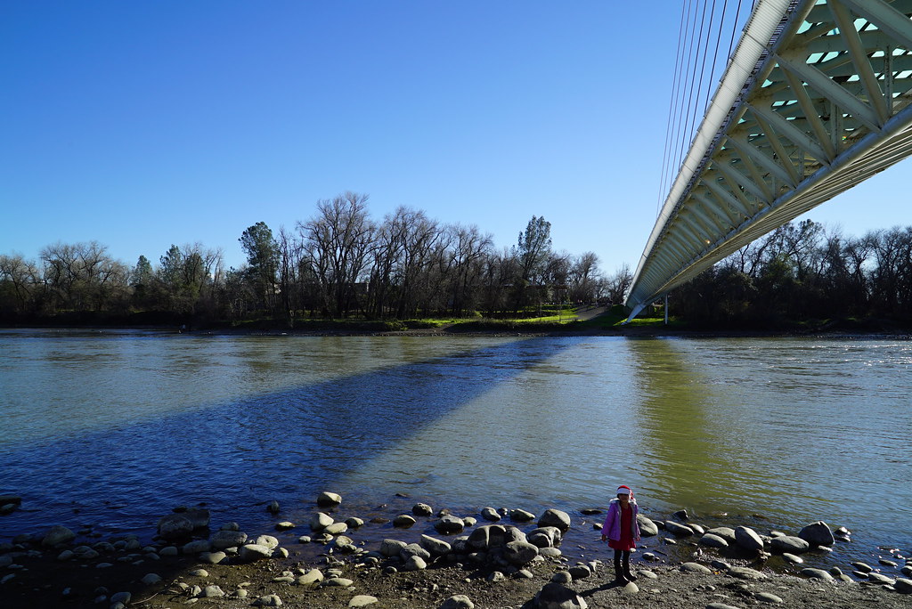
Sundial Bridge in September

Sundial Bridge at Turtle Bay (II)

Sundial Bridge Lightning, The Sundial Bridge, Redding, CA

Sundial Bridge at Turtle Bay

Redding, CA OES Fire Engine 329 for Shasta County

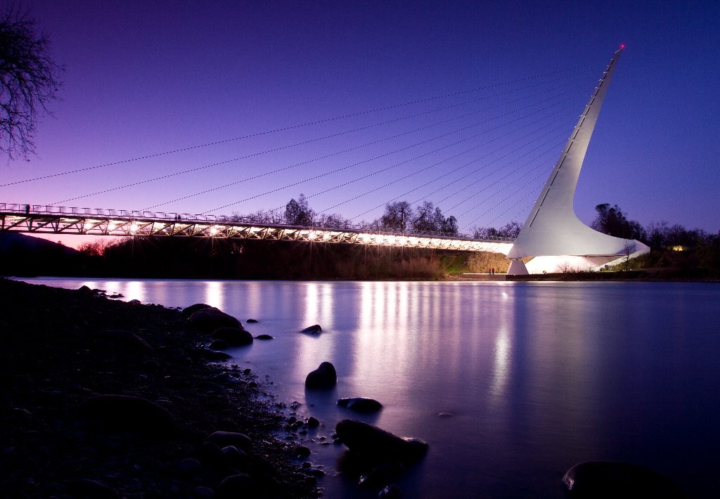
Sundial in Blue

Bald Eagle with Fish in Talons - This is "Liberty", the female of the nesting pair at Turtle Bay, Redding, California

Redding, CASD59MX-UP 9900

Self Portrait - 1

UP9921-9900-9924
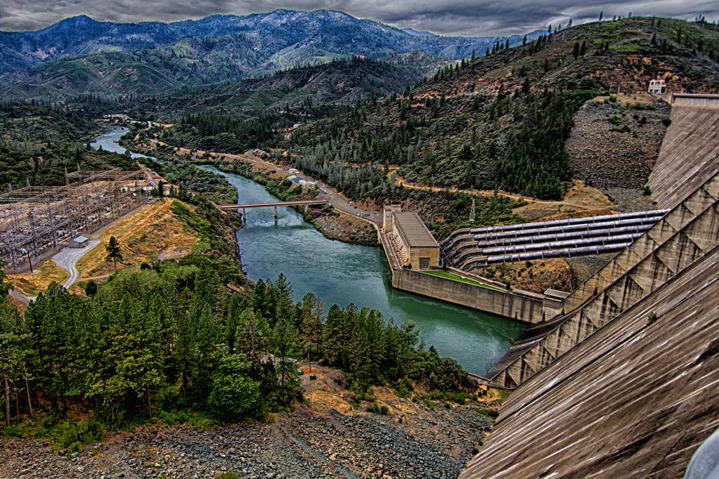
Shasta Dam Overlook 1533

Redding,CA Fire Station 3

Sunset over Sacramento River
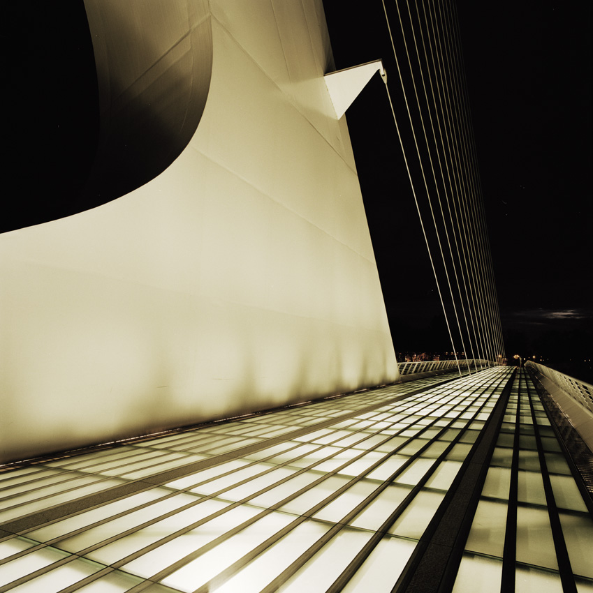
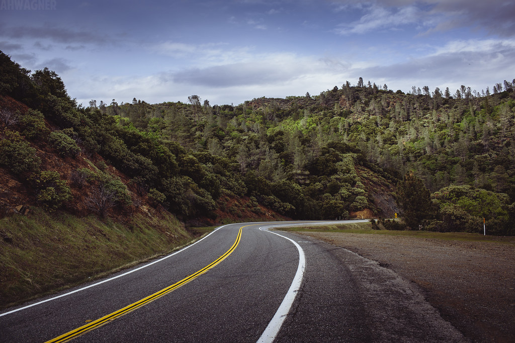
Sundial Bridge, Redding
Heaven Came Down

Self Portrait - 3
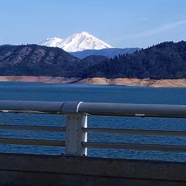
A beautiful view of Mt. Shasta from Shasta Dam.

Self Portrait - 2

Calatrava's Sundial Bridge, Redding, California

Bald Eagle Carrying Stick for Nest

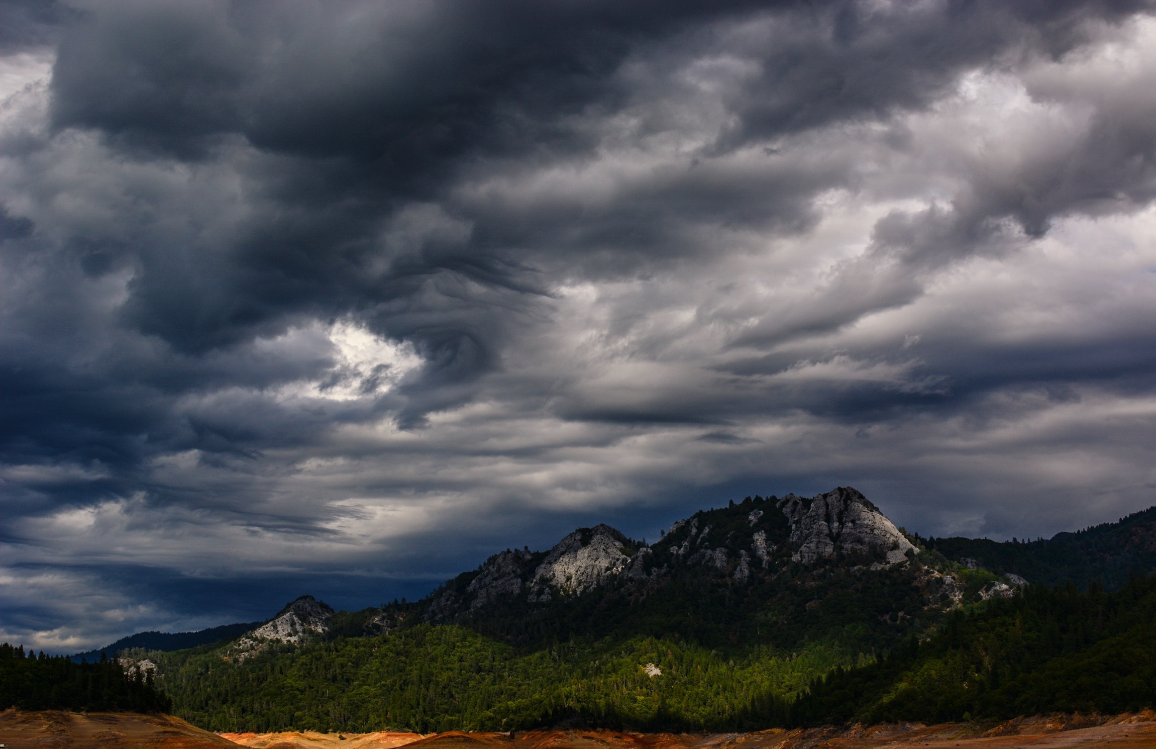
3 Shastas in HDR

Sunset at the Sundial Bridge
Sunrise at Simpson [03.30.13]

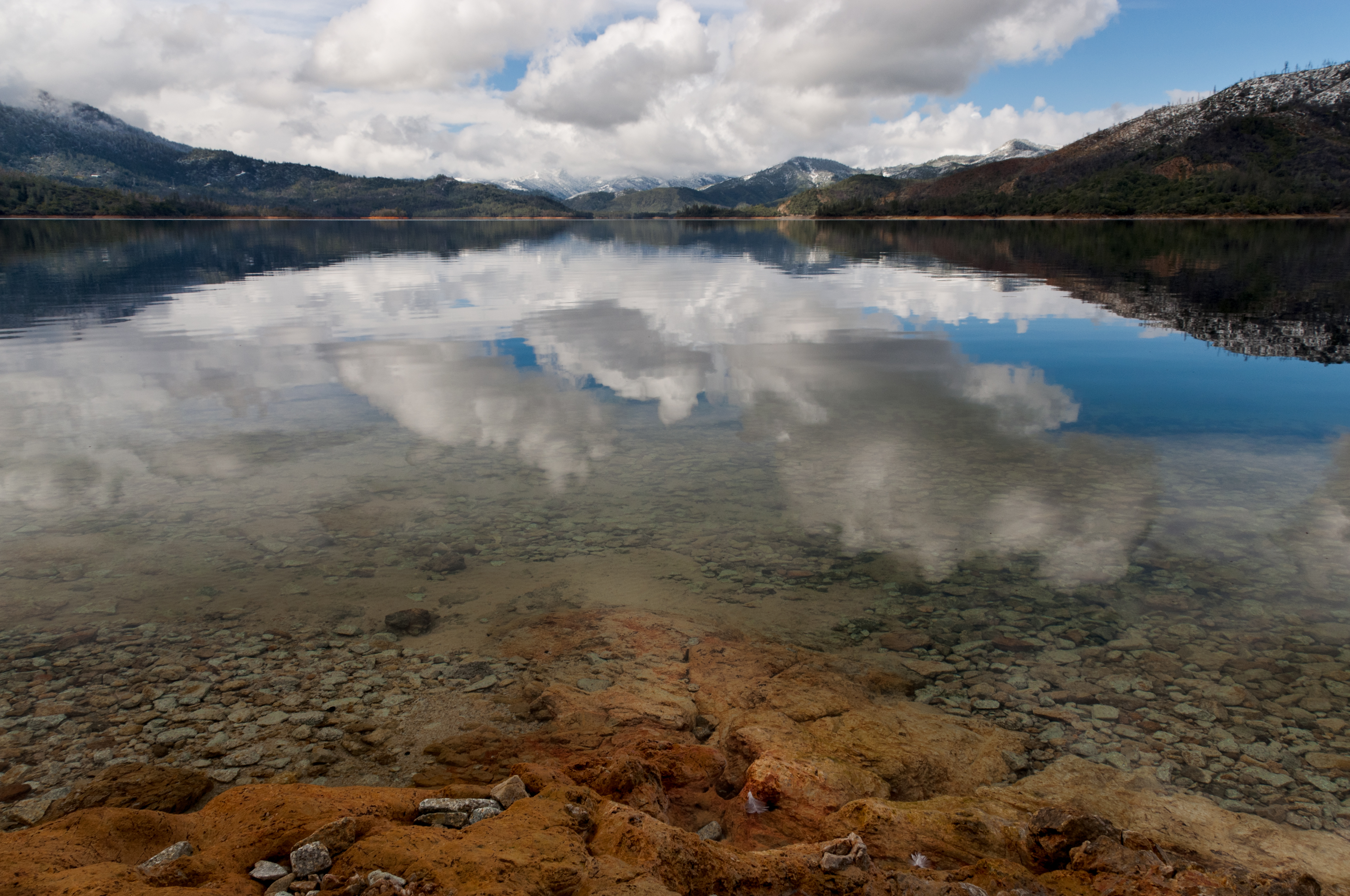
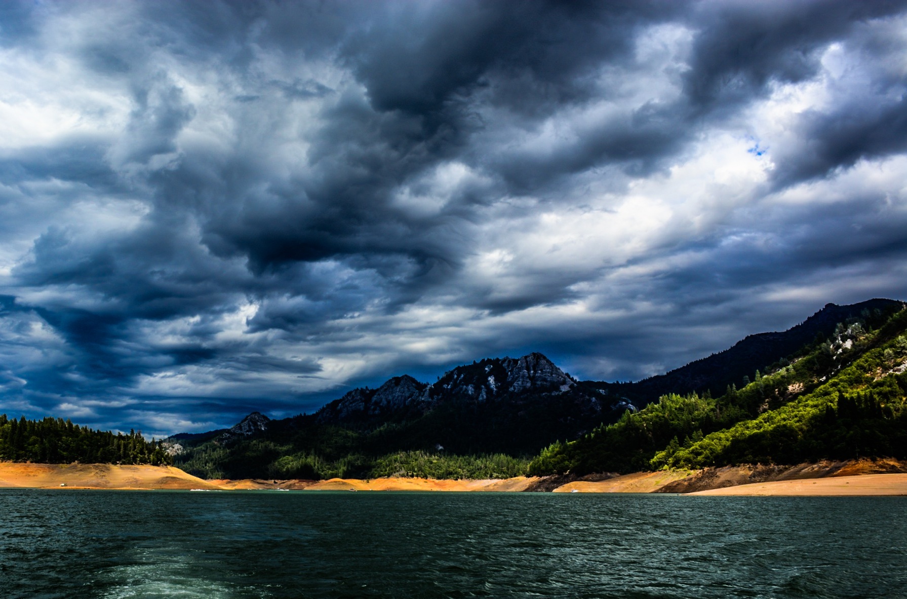
Whiskeytown Lake, California, USA

Whiskeytown Lake Sunset [04.02.13]
Mary Lake - Redding, CA
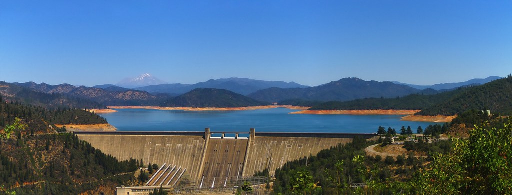
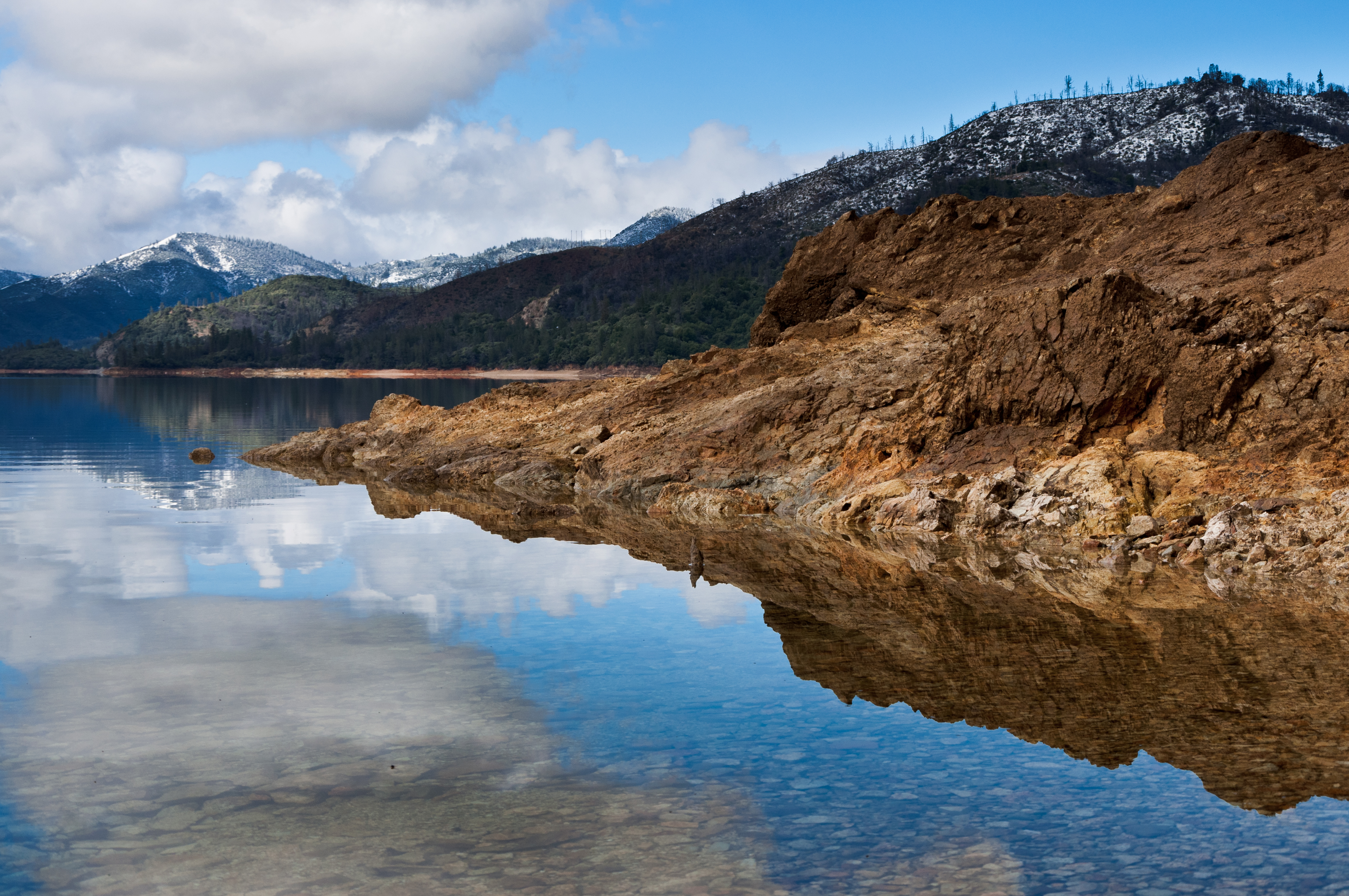
Shasta Dam and Lake
Random photography

Kanaka Peak Panorama
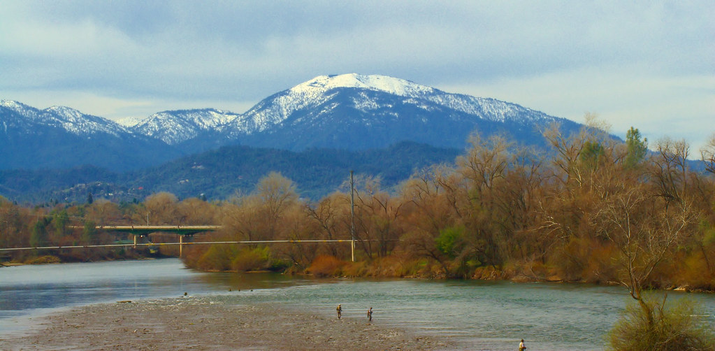
Mount Shasta

Trees being trees
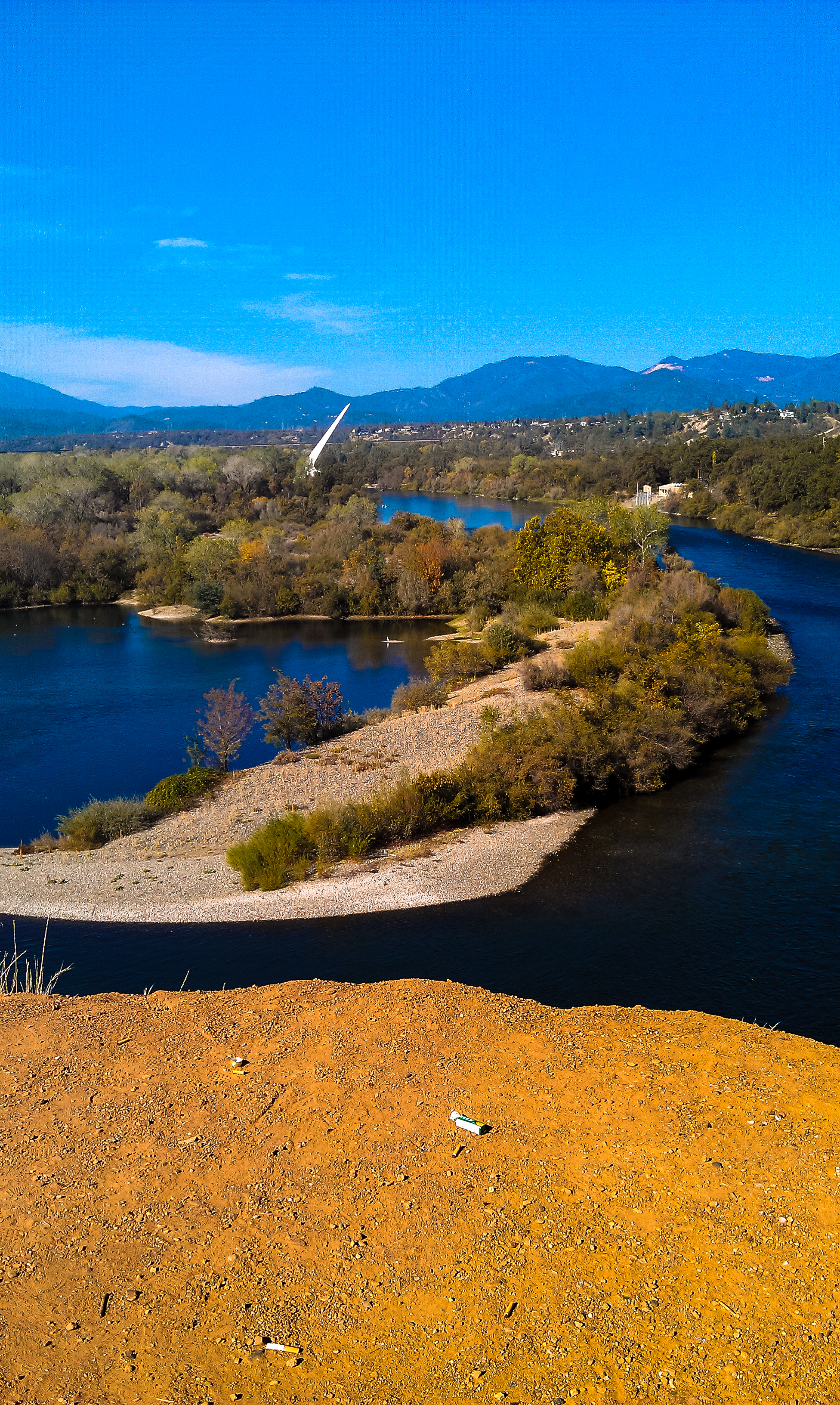
Turtle Bay
Sundial Bridge Redding Ca.
Shasta Dam Boulevard [03.28.13]
Reflecting on Whiskeytown Lake
Random photography

A Path of Exploration and Learning - Turtle Bay Exploration Park - Redding, Shasta County, California

Mount Shasta

Red Along a River
Topographic Map of Barbara Rd, Redding, CA, USA
Find elevation by address:

Places near Barbara Rd, Redding, CA, USA:
1580 Barbara Rd
Redding Heights
900 Butte St
Bluffs
500 Hilltop Dr
1040 Lincoln St
2071 Paris Ave
Safeway
815 Browning St
Tanglewood Village
851 Mission De Oro Dr
874 Tanglewood Dr
870 Mission Sierra Ct
Tanglewood
3600 Park Marina Dr
765 Severtson Dr
Mount Shasta Mall
2545 Freebridge St
Hamilton Street
Parkview
Recent Searches:
- Elevation of Corso Fratelli Cairoli, 35, Macerata MC, Italy
- Elevation of Tallevast Rd, Sarasota, FL, USA
- Elevation of 4th St E, Sonoma, CA, USA
- Elevation of Black Hollow Rd, Pennsdale, PA, USA
- Elevation of Oakland Ave, Williamsport, PA, USA
- Elevation of Pedrógão Grande, Portugal
- Elevation of Klee Dr, Martinsburg, WV, USA
- Elevation of Via Roma, Pieranica CR, Italy
- Elevation of Tavkvetili Mountain, Georgia
- Elevation of Hartfords Bluff Cir, Mt Pleasant, SC, USA