Elevation of Banswara, Rajasthan, India
Location: India > Rajasthan > Banswara >
Longitude: 74.4349761
Latitude: 23.5461394
Elevation: 216m / 709feet
Barometric Pressure: 99KPa
Elevation Map:
Satellite Map:
Related Photos:
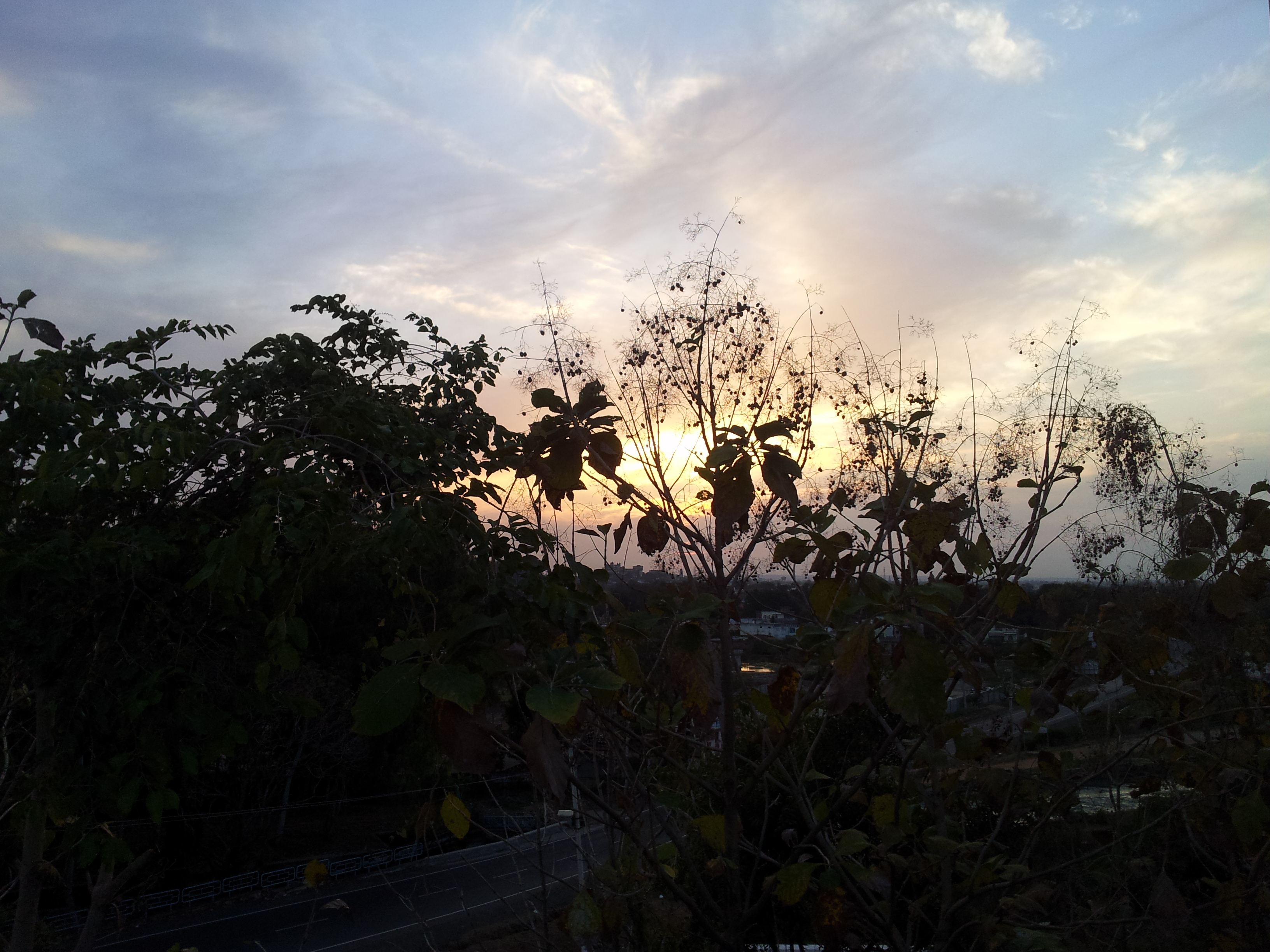
20140303_182629

20140303_182640

20140303_182833

20140303_182923

20140303_182932
Topographic Map of Banswara, Rajasthan, India
Find elevation by address:

Places near Banswara, Rajasthan, India:
Banswara
Dungarpur
Batakwada
Ukhreli
Vaghadiyani Andhari
Santrampur
Kadana Dam
Dahod
Dahod
Limkheda
Garbada
Meghraj
Bichhiwara
Mahisagar
Jagabor
Malpur
Ratanpur
Virpur
Shamlaji Temple
Samalaji
Recent Searches:
- Elevation of Corso Fratelli Cairoli, 35, Macerata MC, Italy
- Elevation of Tallevast Rd, Sarasota, FL, USA
- Elevation of 4th St E, Sonoma, CA, USA
- Elevation of Black Hollow Rd, Pennsdale, PA, USA
- Elevation of Oakland Ave, Williamsport, PA, USA
- Elevation of Pedrógão Grande, Portugal
- Elevation of Klee Dr, Martinsburg, WV, USA
- Elevation of Via Roma, Pieranica CR, Italy
- Elevation of Tavkvetili Mountain, Georgia
- Elevation of Hartfords Bluff Cir, Mt Pleasant, SC, USA