Elevation of Ratanpur, Rajasthan, India
Location: India > Rajasthan > Dungarpur >
Longitude: 73.4460123
Latitude: 23.7639828
Elevation: 234m / 768feet
Barometric Pressure: 99KPa
Elevation Map:
Satellite Map:
Related Photos:

2018-10-08_04-26-54
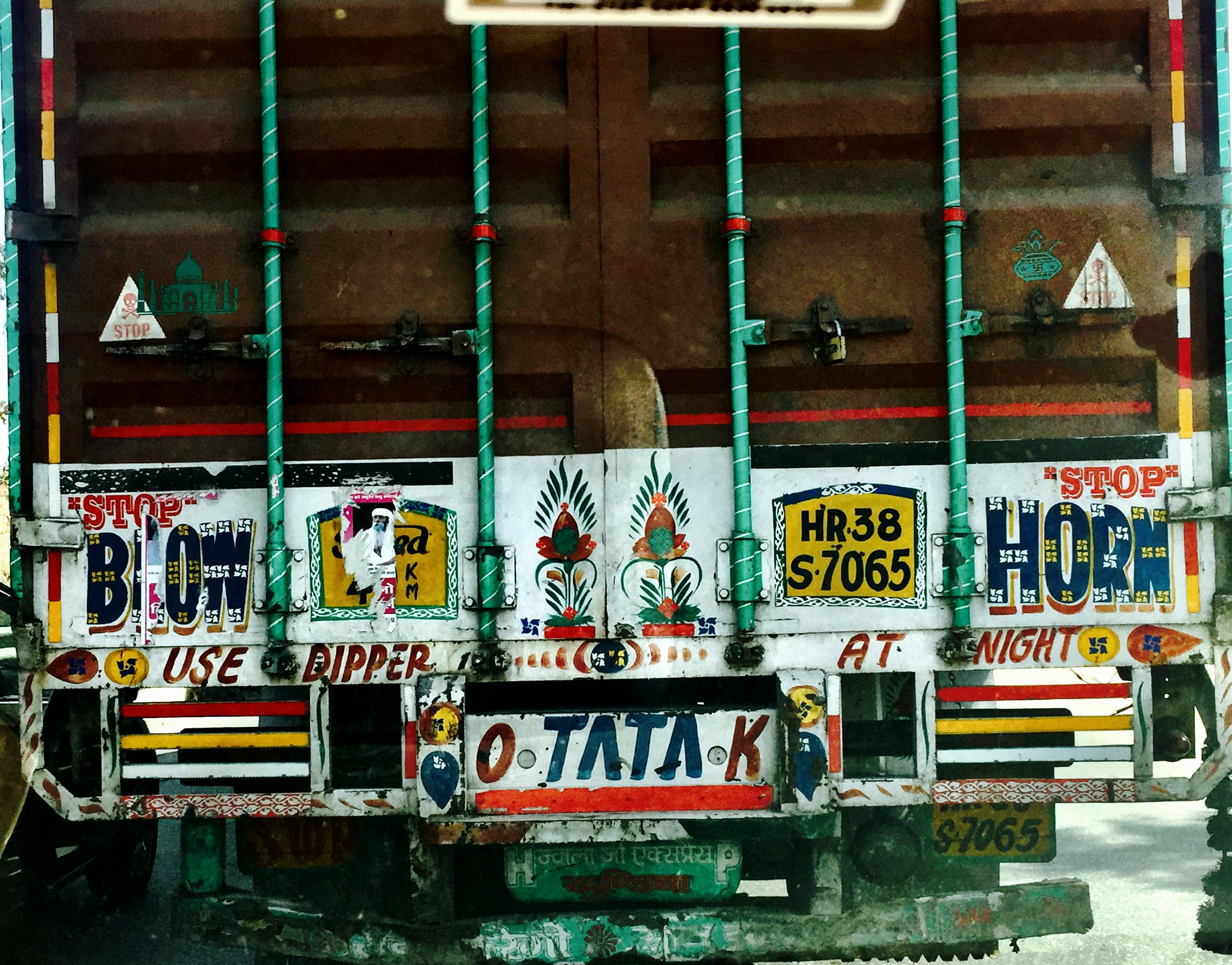
Rajasthan traffic

When feeling low,look up!

Rajasthan Trip 2013

Shamlaji Temple
Topographic Map of Ratanpur, Rajasthan, India
Find elevation by address:

Places near Ratanpur, Rajasthan, India:
Jagabor
Bichhiwara
Shamlaji Temple
Samalaji
Bhiloda
Aravalli
Meghraj
Modasa
Shahikot Road
Malpur
Dungarpur
Virpur
Kadana Dam
Vaghadiyani Andhari
Mahisagar
Ukhreli
Batakwada
Santrampur
Banswara
Panchmahal
Recent Searches:
- Elevation of Corso Fratelli Cairoli, 35, Macerata MC, Italy
- Elevation of Tallevast Rd, Sarasota, FL, USA
- Elevation of 4th St E, Sonoma, CA, USA
- Elevation of Black Hollow Rd, Pennsdale, PA, USA
- Elevation of Oakland Ave, Williamsport, PA, USA
- Elevation of Pedrógão Grande, Portugal
- Elevation of Klee Dr, Martinsburg, WV, USA
- Elevation of Via Roma, Pieranica CR, Italy
- Elevation of Tavkvetili Mountain, Georgia
- Elevation of Hartfords Bluff Cir, Mt Pleasant, SC, USA