Elevation of Virpur, Gujarat, India
Location: India > Gujarat > Kheda >
Longitude: 73.4798916
Latitude: 23.1886209
Elevation: 107m / 351feet
Barometric Pressure: 100KPa
Elevation Map:
Satellite Map:
Related Photos:

Ronak agrawal

Dr Ashvin Bhatt
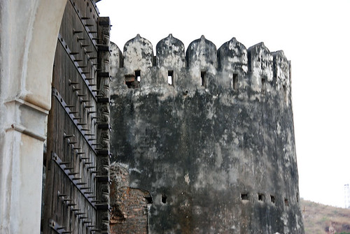
Palace Gate
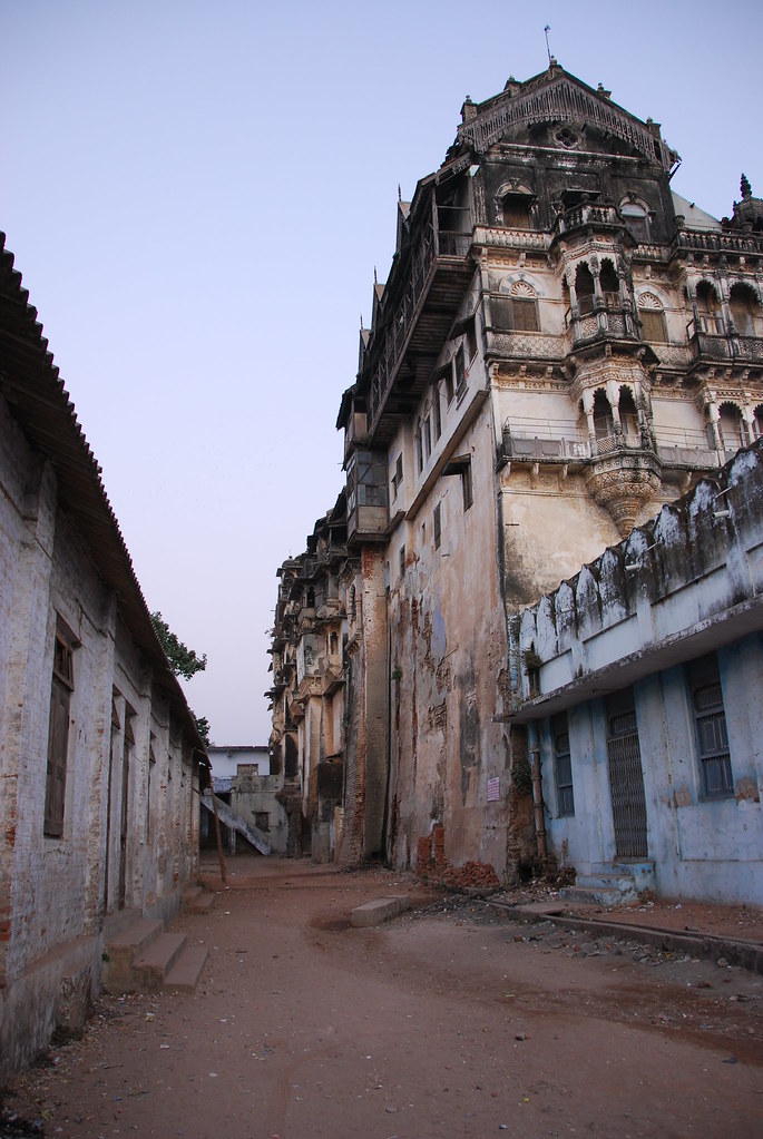
Maharaja's Palace
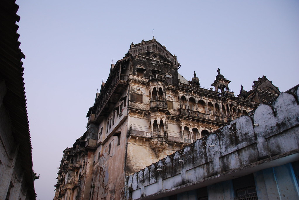
Maharaja's Palace
Topographic Map of Virpur, Gujarat, India
Find elevation by address:

Places near Virpur, Gujarat, India:
Mahisagar
Malpur
Meghraj
Modasa
Shahikot Road
Aravalli
Kadana Dam
Vaghadiyani Andhari
Panchmahal
Santrampur
Godhra
Ukhreli
Chimanapura Indra Nagari
Batakwada
Samalaji
Shamlaji Temple
Jagabor
Ratanpur
Bichhiwara
Limkheda
Recent Searches:
- Elevation of Corso Fratelli Cairoli, 35, Macerata MC, Italy
- Elevation of Tallevast Rd, Sarasota, FL, USA
- Elevation of 4th St E, Sonoma, CA, USA
- Elevation of Black Hollow Rd, Pennsdale, PA, USA
- Elevation of Oakland Ave, Williamsport, PA, USA
- Elevation of Pedrógão Grande, Portugal
- Elevation of Klee Dr, Martinsburg, WV, USA
- Elevation of Via Roma, Pieranica CR, Italy
- Elevation of Tavkvetili Mountain, Georgia
- Elevation of Hartfords Bluff Cir, Mt Pleasant, SC, USA