Elevation of Banilad Elementary School, Tagaytay - Nasugbu Hwy, Nasugbu, Batangas, Philippines
Location: Philippines > Calabarzon > Batangas > Nasugbu > Banilad >
Longitude: 120.734238
Latitude: 14.0675891
Elevation: 94m / 308feet
Barometric Pressure: 100KPa
Elevation Map:
Satellite Map:
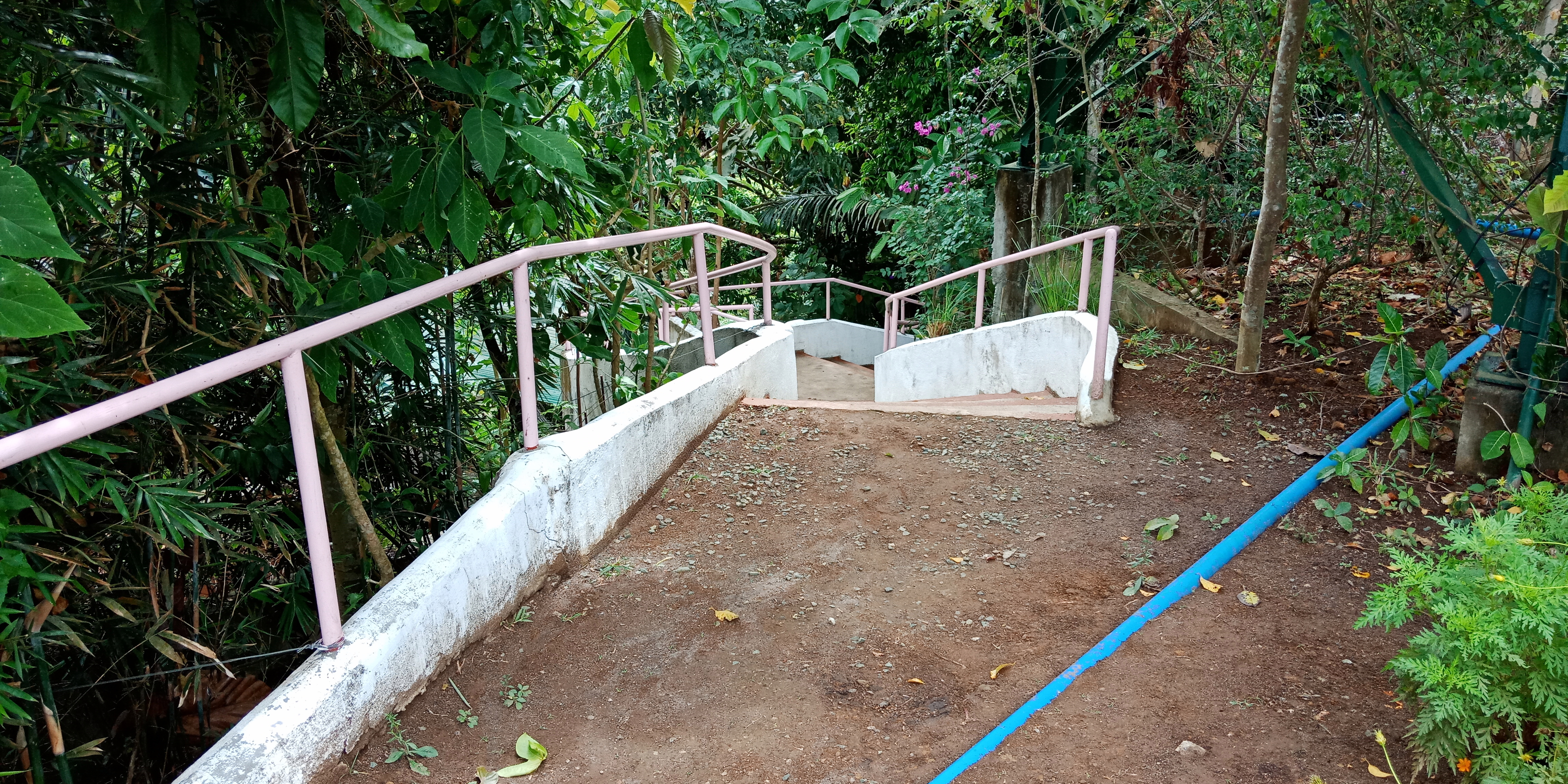
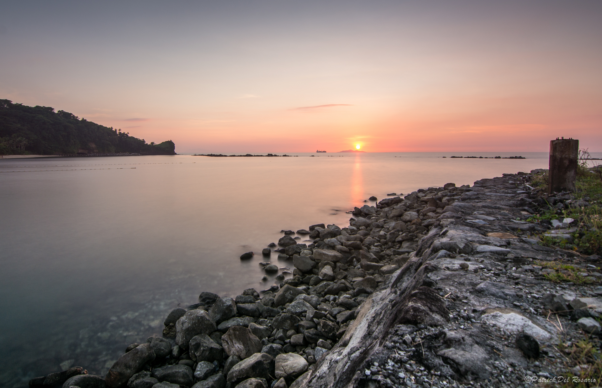
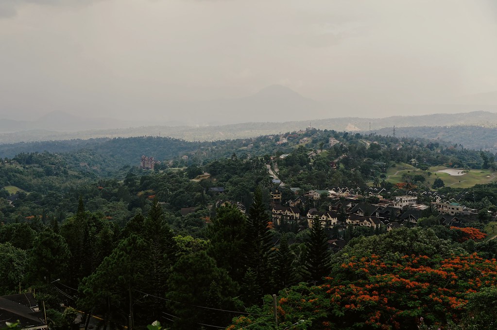
Related Photos:

Trip to Taal

Lake Taal #2

The view from Caleruega taken with a Nexus 5X

Sonya's Garden at Night

View from our balcony

A view from a window

Sonya's Garden by Day

Sonya's Garden by Day

Dragster Waves #beach #house #badass #storm #surge #crash #water #view

Sonya's Garden at Night

View of a ridge from Chapel on the Hill. #ridge #mountains #weekenders #weekendtravel #travelphotography #travelblog #travelphilippines #tourismphilippines #tagaytay #itsmorefuninthephilippines #choosephilippines #AmazingPhilippines #igers #igglobalclub #

Sonya's Garden by Day

Sonya's Garden by Day
Sonya's Secret Haven

Sonya's Garden by Day

Sonya's Garden by Day

Sonya's Garden by Day

Sonya's Garden by Day

Sonya's Garden at Night

Sonya's Garden by Day

Sonya's Secret Haven

Mt. Talamitam

#doctony #landscape #mountain #sunset #tagaytay #chapelonthehill #donbosco

Perfect de-stressor
Sunset at Canyon Cove - Batangas

Fine Resort Down There

872.

20121012-DSC_4186.jpg

Lake Taal

See you again...

The Milky Way at Mt. Batulao

20121015-DSC_6230.jpg

Down In The Bush League

Resort Overlooking Taal

20121217-DSC_8617.jpg

x100-9092.jpg

20120404-IMG_0216.jpg

Fortune Island - an abandoned island near Nasugbu, Batangas. One of the adventures I will never forget ???? #Nasugbu #Batangas #Pilipinas #Island #SeaLife #Adventure

20121029-DSCF9267.jpg

merry sunset..
Nasugbu.
Topographic Map of Banilad Elementary School, Tagaytay - Nasugbu Hwy, Nasugbu, Batangas, Philippines
Find elevation by address:

Places near Banilad Elementary School, Tagaytay - Nasugbu Hwy, Nasugbu, Batangas, Philippines:
Banilad
Tumalim
Tagaytay - Nasugbu Highway
Barangay Munting Indang
Mt. Talamitam
Munting Indan
Sunmegaprime Pitaya Farms
Mataas Na Pulo
Nasugbu
Kayrilaw
Kayrilaw Road
Malapad Na Bato
Kaylaway
Kaysuyo Elementary School
Lobo Lobo Site
Kaysuyo
Magallanes
Bunducan
Sandari Batulao
Kaytitinga Ii
Recent Searches:
- Elevation of Laurel Rd, Townsend, TN, USA
- Elevation of 3 Nestling Wood Dr, Long Valley, NJ, USA
- Elevation of Ilungu, Tanzania
- Elevation of Yellow Springs Road, Yellow Springs Rd, Chester Springs, PA, USA
- Elevation of Rēzekne Municipality, Latvia
- Elevation of Plikpūrmaļi, Vērēmi Parish, Rēzekne Municipality, LV-, Latvia
- Elevation of 2 Henschke Ct, Caboolture QLD, Australia
- Elevation of Redondo Ave, Long Beach, CA, USA
- Elevation of Sadovaya Ulitsa, 20, Rezh, Sverdlovskaya oblast', Russia
- Elevation of Ulitsa Kalinina, 79, Rezh, Sverdlovskaya oblast', Russia