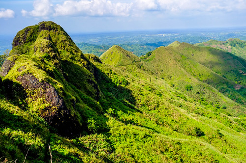
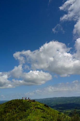
Elevation of Kayrilaw Road, Kayrilaw Rd, Nasugbu, Batangas, Philippines
Location: Philippines > Calabarzon > Batangas > Nasugbu >
Longitude: 120.781948
Latitude: 14.1059604
Elevation: 326m / 1070feet
Barometric Pressure: 97KPa
Related Photos:
Topographic Map of Kayrilaw Road, Kayrilaw Rd, Nasugbu, Batangas, Philippines
Find elevation by address:

Places near Kayrilaw Road, Kayrilaw Rd, Nasugbu, Batangas, Philippines:
Kayrilaw
Kaysuyo Elementary School
Mt. Talamitam
Lobo Lobo Site
Tagaytay - Nasugbu Highway
Kaysuyo
Kaylaway
Mataas Na Pulo
Kaytitinga Ii
Sandari Batulao
Kaytitinga Elementary School
Kaytitinga I
Kaytitinga Iii
Sinaliw Malaki
Amuyong-kaytitinga Road
Kaytitinga Iii
Bilog
Splendido Sales Office
Tagaytay - Nasugbu Highway
Matagbak I
Recent Searches:
- Elevation of Corso Fratelli Cairoli, 35, Macerata MC, Italy
- Elevation of Tallevast Rd, Sarasota, FL, USA
- Elevation of 4th St E, Sonoma, CA, USA
- Elevation of Black Hollow Rd, Pennsdale, PA, USA
- Elevation of Oakland Ave, Williamsport, PA, USA
- Elevation of Pedrógão Grande, Portugal
- Elevation of Klee Dr, Martinsburg, WV, USA
- Elevation of Via Roma, Pieranica CR, Italy
- Elevation of Tavkvetili Mountain, Georgia
- Elevation of Hartfords Bluff Cir, Mt Pleasant, SC, USA


