Elevation of Kayrilaw, Nasugbu, Batangas, Philippines
Location: Philippines > Calabarzon > Batangas > Nasugbu >
Longitude: 120.778094
Latitude: 14.1099275
Elevation: 304m / 997feet
Barometric Pressure: 98KPa
Elevation Map:
Satellite Map:
Related Photos:

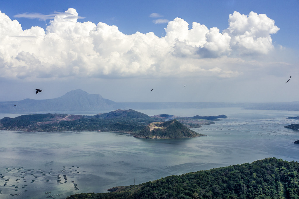
Taal Volcano

Trip to Taal

Lake Taal #2

The view from Caleruega taken with a Nexus 5X
Taal Volcano view from Tagaytay

Sonya's Garden at Night

A view from a window
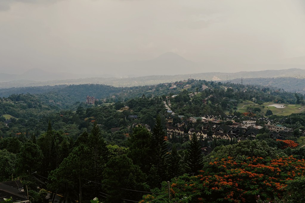
Hill view

Sonya's Garden by Day

Sonya's Garden by Day

Sonya's Garden at Night

When you eat and get a view like this ????

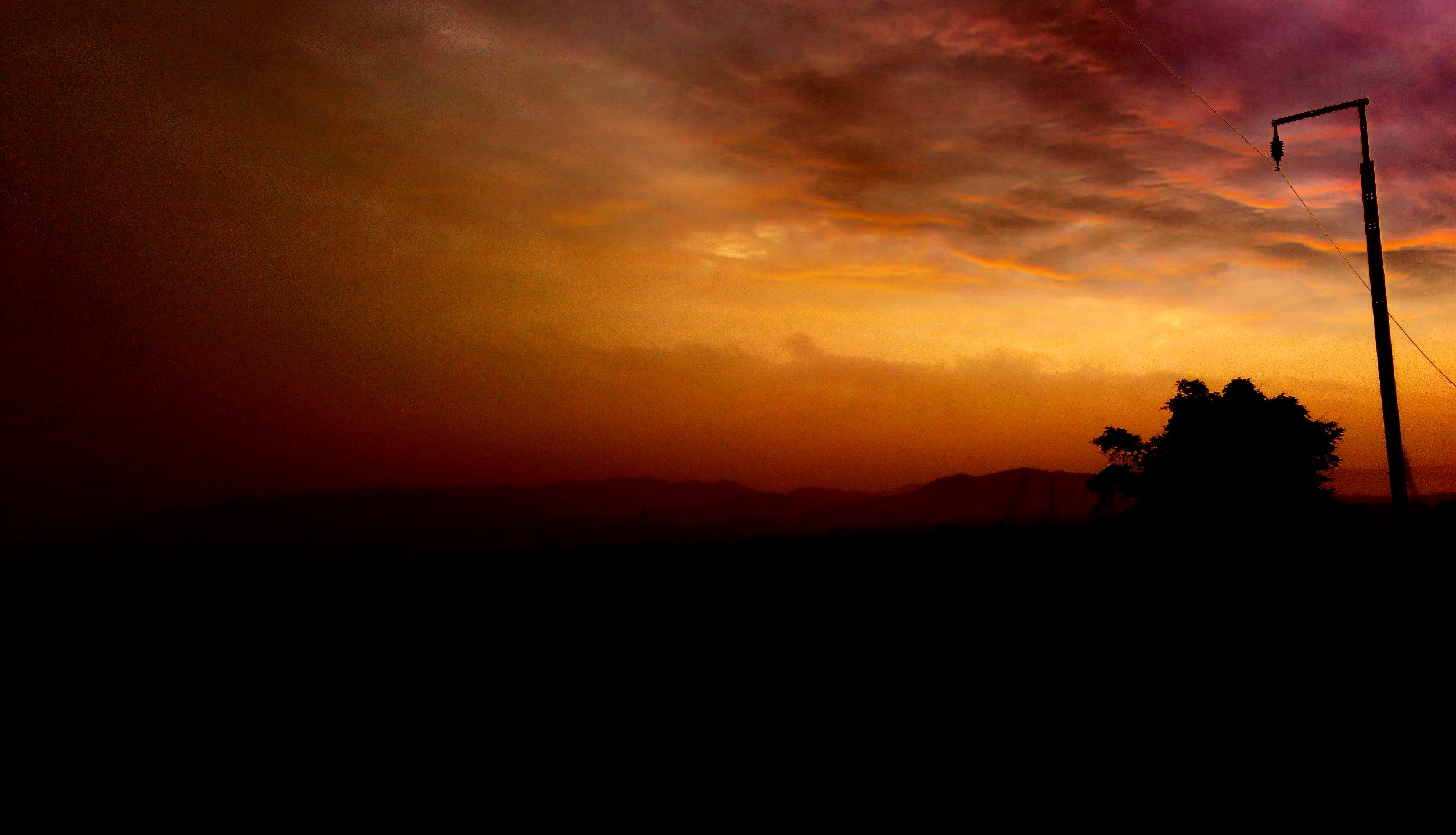
The view from Breakfast at Antonio's during Sunset

View of a ridge from Chapel on the Hill. #ridge #mountains #weekenders #weekendtravel #travelphotography #travelblog #travelphilippines #tourismphilippines #tagaytay #itsmorefuninthephilippines #choosephilippines #AmazingPhilippines #igers #igglobalclub #

Sonya's Garden by Day

Sonya's Garden by Day
Sonya's Secret Haven

Sonya's Garden by Day

Sonya's Garden by Day

Sonya's Garden by Day

Sonya's Garden by Day

Got beef?

Mt. Talamitam

Taal Volcano Island

#doctony #landscape #mountain #sunset #tagaytay #chapelonthehill #donbosco

Morning Has Broken

One Good Day...

20121012-DSC_4186.jpg

Lake Taal

The Milky Way at Mt. Batulao

20121015-DSC_6230.jpg

Resort Overlooking Taal

Here I am again,

20121217-DSC_8617.jpg

x100-9092.jpg

20120404-IMG_0216.jpg

...

20121029-DSCF9267.jpg

The Blacks and the Whites
Nasugbu.
Topographic Map of Kayrilaw, Nasugbu, Batangas, Philippines
Find elevation by address:

Places near Kayrilaw, Nasugbu, Batangas, Philippines:
Kayrilaw Road
Mt. Talamitam
Kaysuyo Elementary School
Lobo Lobo Site
Mataas Na Pulo
Tagaytay - Nasugbu Highway
Kaysuyo
Kaytitinga Ii
Kaylaway
Sandari Batulao
Kaytitinga Elementary School
Kaytitinga I
Kaytitinga Iii
Sinaliw Malaki
Amuyong-kaytitinga Road
Banilad
Magallanes
Bilog
Kaytitinga Iii
Matagbak I
Recent Searches:
- Elevation of Corso Fratelli Cairoli, 35, Macerata MC, Italy
- Elevation of Tallevast Rd, Sarasota, FL, USA
- Elevation of 4th St E, Sonoma, CA, USA
- Elevation of Black Hollow Rd, Pennsdale, PA, USA
- Elevation of Oakland Ave, Williamsport, PA, USA
- Elevation of Pedrógão Grande, Portugal
- Elevation of Klee Dr, Martinsburg, WV, USA
- Elevation of Via Roma, Pieranica CR, Italy
- Elevation of Tavkvetili Mountain, Georgia
- Elevation of Hartfords Bluff Cir, Mt Pleasant, SC, USA