Elevation of Bairnsdale VIC, Australia
Location: Australia > Victoria > East Gippsland Shire >
Longitude: 147.626906
Latitude: -37.819684
Elevation: 2m / 7feet
Barometric Pressure: 101KPa
Elevation Map:
Satellite Map:
Related Photos:

Ferry arriving back at Paynesville
Sunset on a ferry
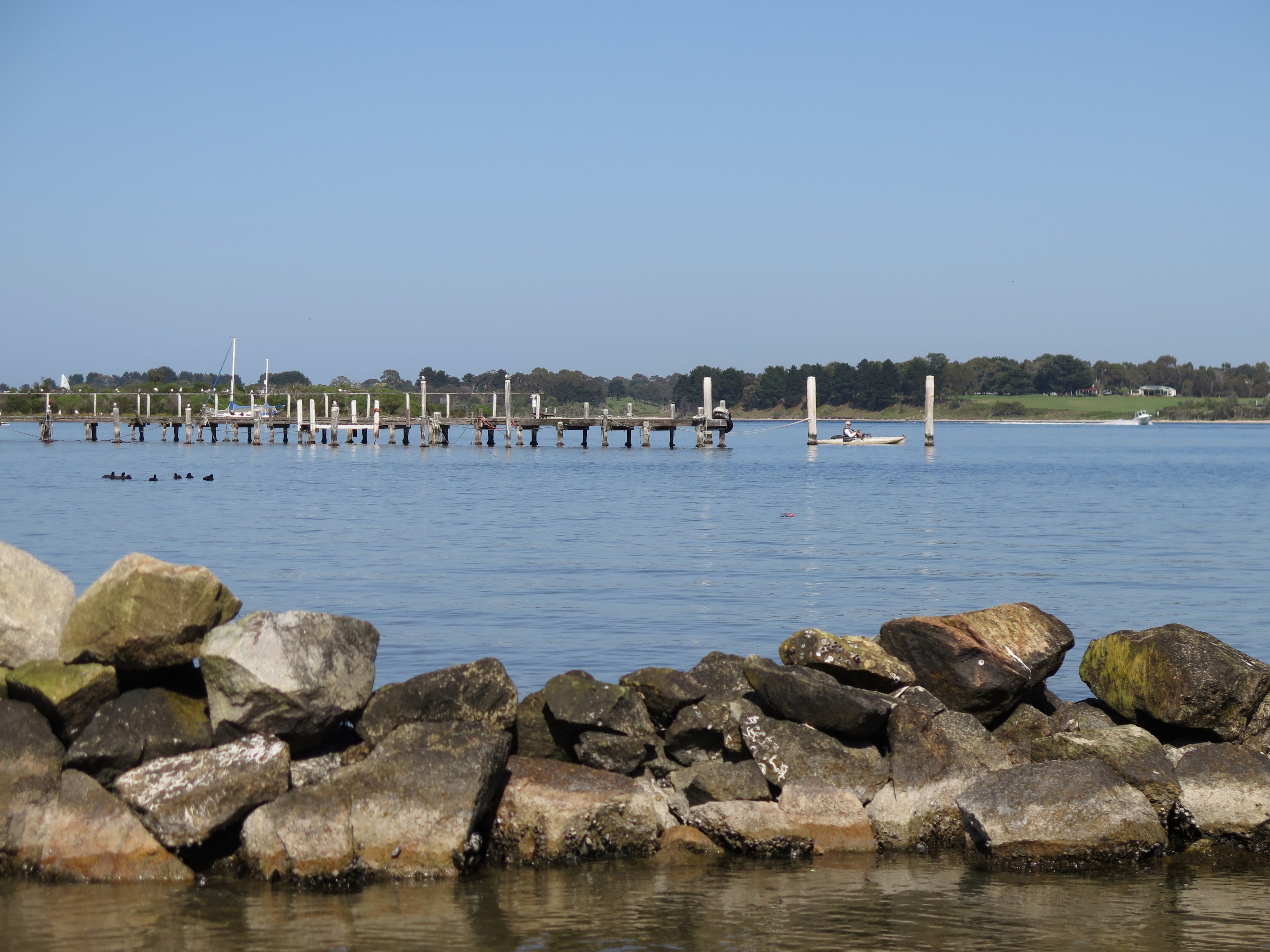
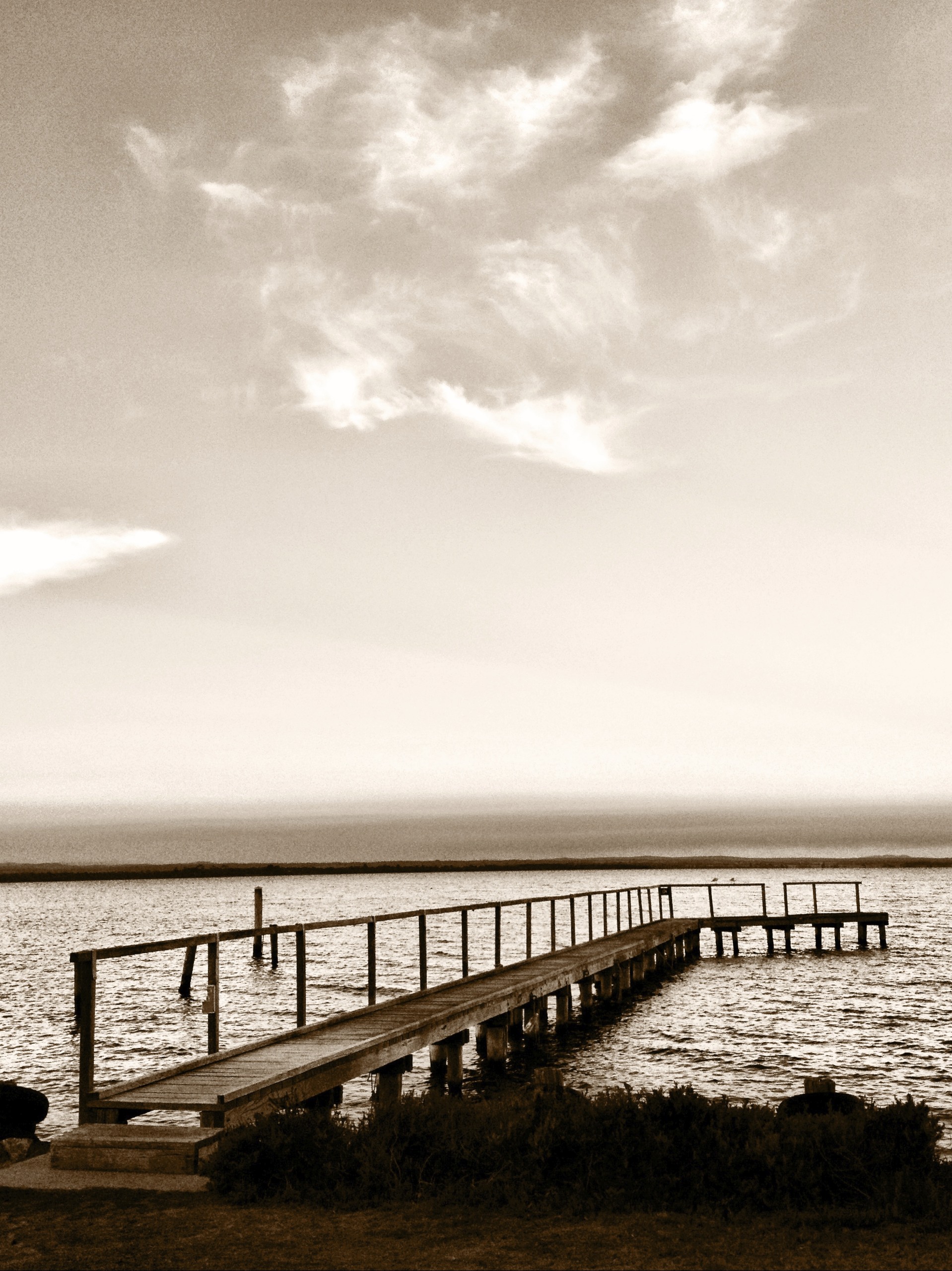
Breakwater and dilapidated jetty, Raymond Island
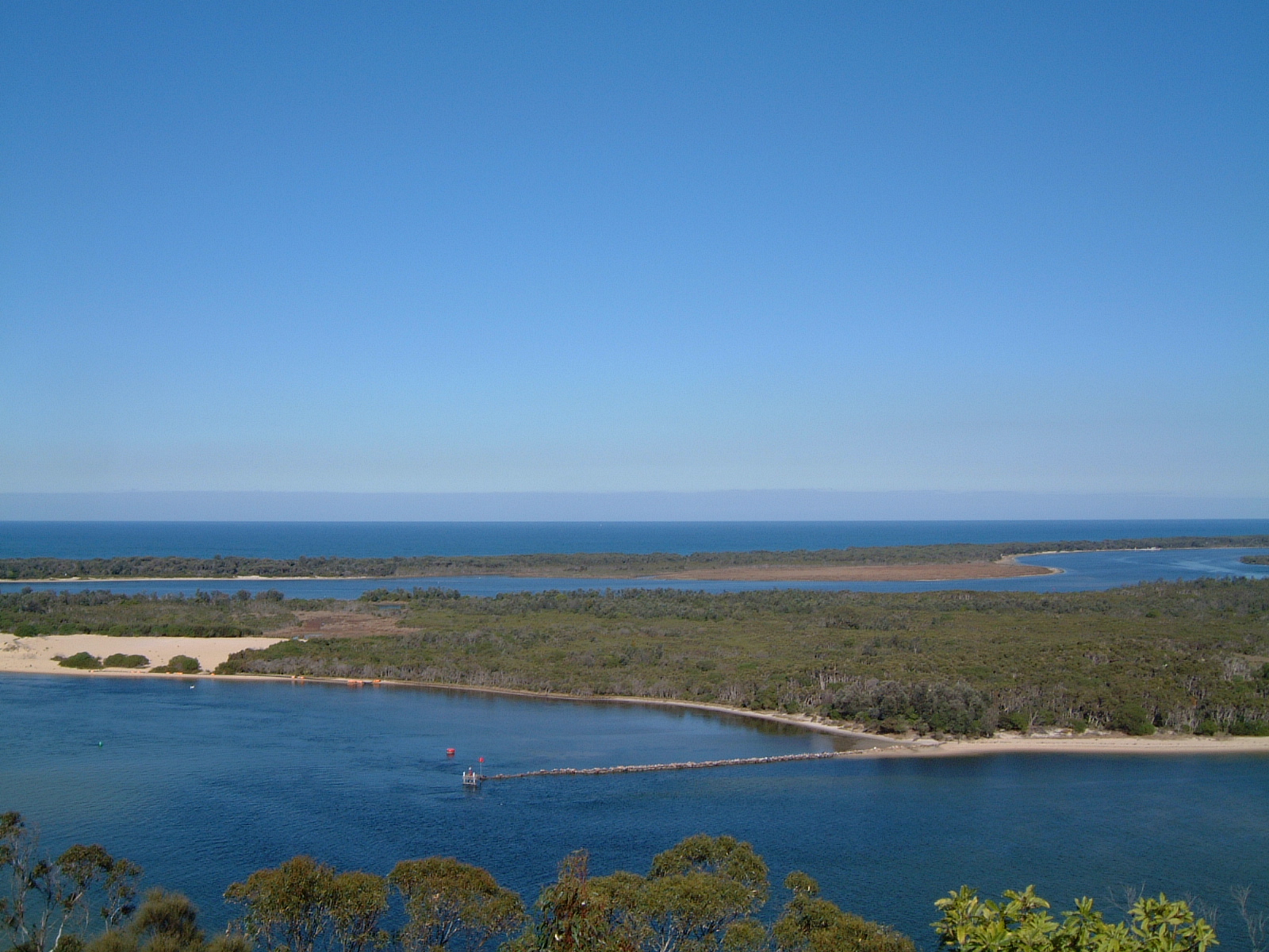
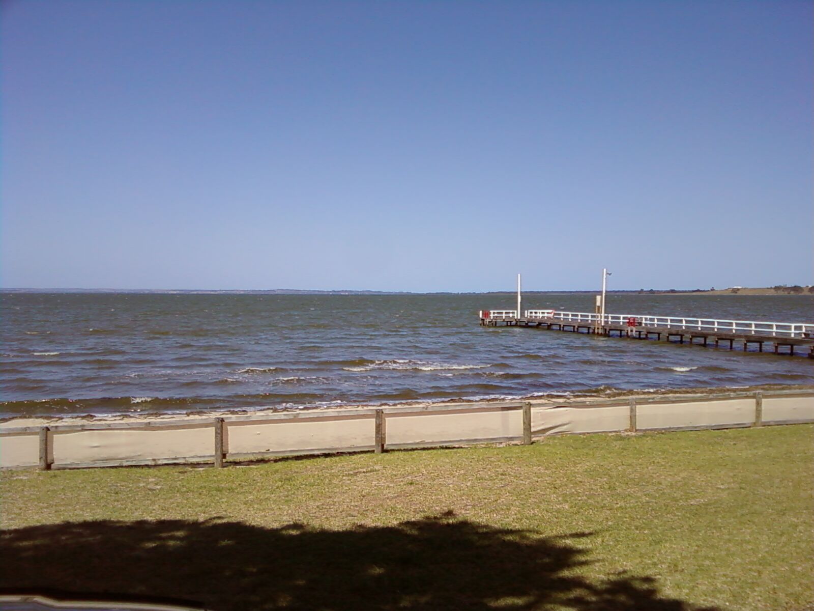
Australia's South Coast

Fishing trip
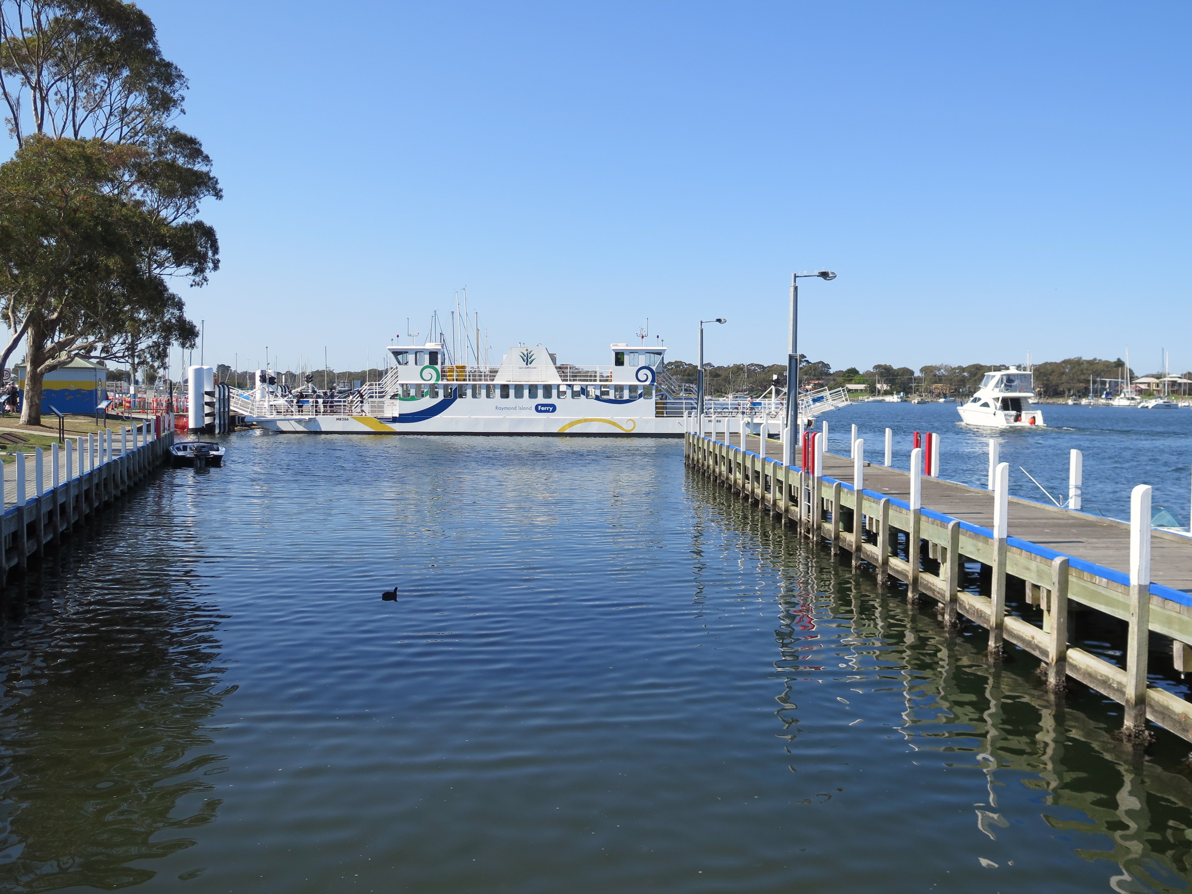
Raymond Island ferry
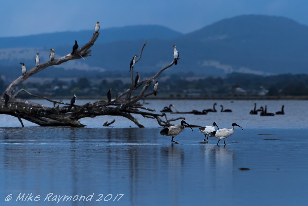
2017-11-23 Ibises Wading near the Silt Jetty

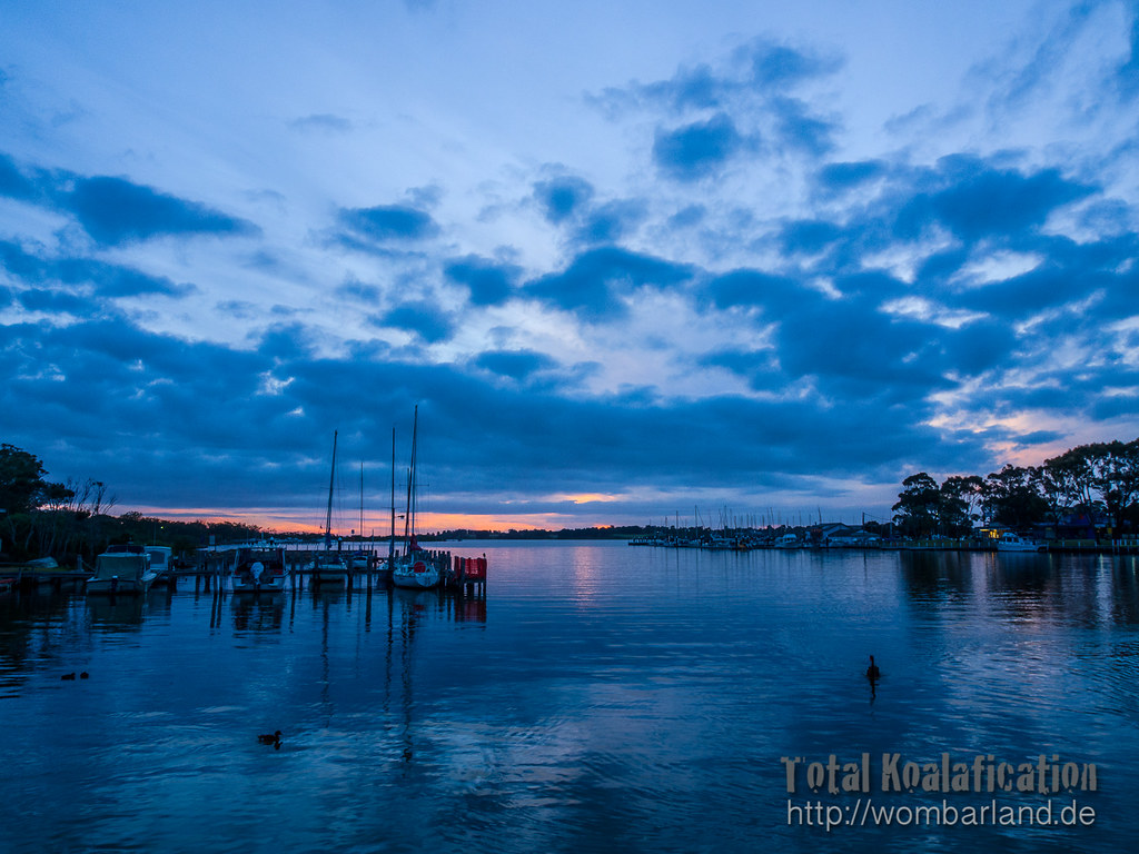
Western arm of Lake King, Paynesville, looking east
Eagle Point.jpg

Mitchell River flats

Overview of the Bairnsdale Power Station

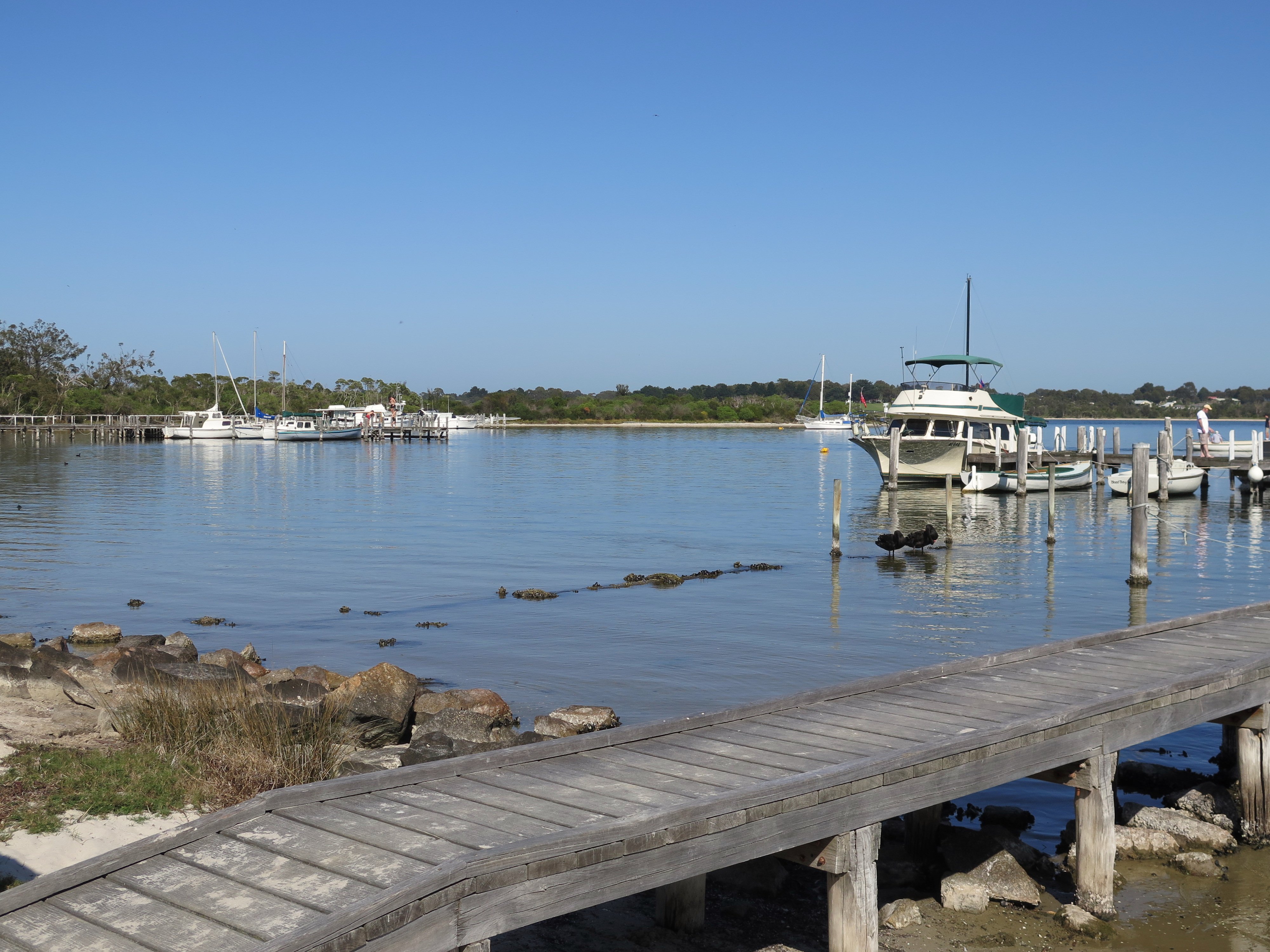
Paynesville 1013 4708
Boardwalk on Raymond Island

Western arm of Lake King, Paynesville, looking south
CAF 2013

Launch of Bairnsdale Nursing Program
Topographic Map of Bairnsdale VIC, Australia
Find elevation by address:

Places near Bairnsdale VIC, Australia:
Bairnsdale
1155 Princes Hwy
Fernbank
884 Fernbank-glenaladale Rd
130 Sawpit Creek Rd
Dargo
Maffra
66 King St
Omeo
Victoria Falls Road
Cobungra
48 Cobungra Rd
5 Cobungra Rd
75 Cobungra Ct
51 Cobungra Rd
40 Victoria Ct
25 Fox Ct
32 Fox Ct
222 Omeo Valley Rd
Dinner Plain
Recent Searches:
- Elevation of Corso Fratelli Cairoli, 35, Macerata MC, Italy
- Elevation of Tallevast Rd, Sarasota, FL, USA
- Elevation of 4th St E, Sonoma, CA, USA
- Elevation of Black Hollow Rd, Pennsdale, PA, USA
- Elevation of Oakland Ave, Williamsport, PA, USA
- Elevation of Pedrógão Grande, Portugal
- Elevation of Klee Dr, Martinsburg, WV, USA
- Elevation of Via Roma, Pieranica CR, Italy
- Elevation of Tavkvetili Mountain, Georgia
- Elevation of Hartfords Bluff Cir, Mt Pleasant, SC, USA