Elevation of Cobungra VIC, Australia
Location: Australia > Victoria >
Longitude: 147.422070
Latitude: -37.096218
Elevation: 1007m / 3304feet
Barometric Pressure: 90KPa
Elevation Map:
Satellite Map:
Related Photos:

Omeo Main Drag
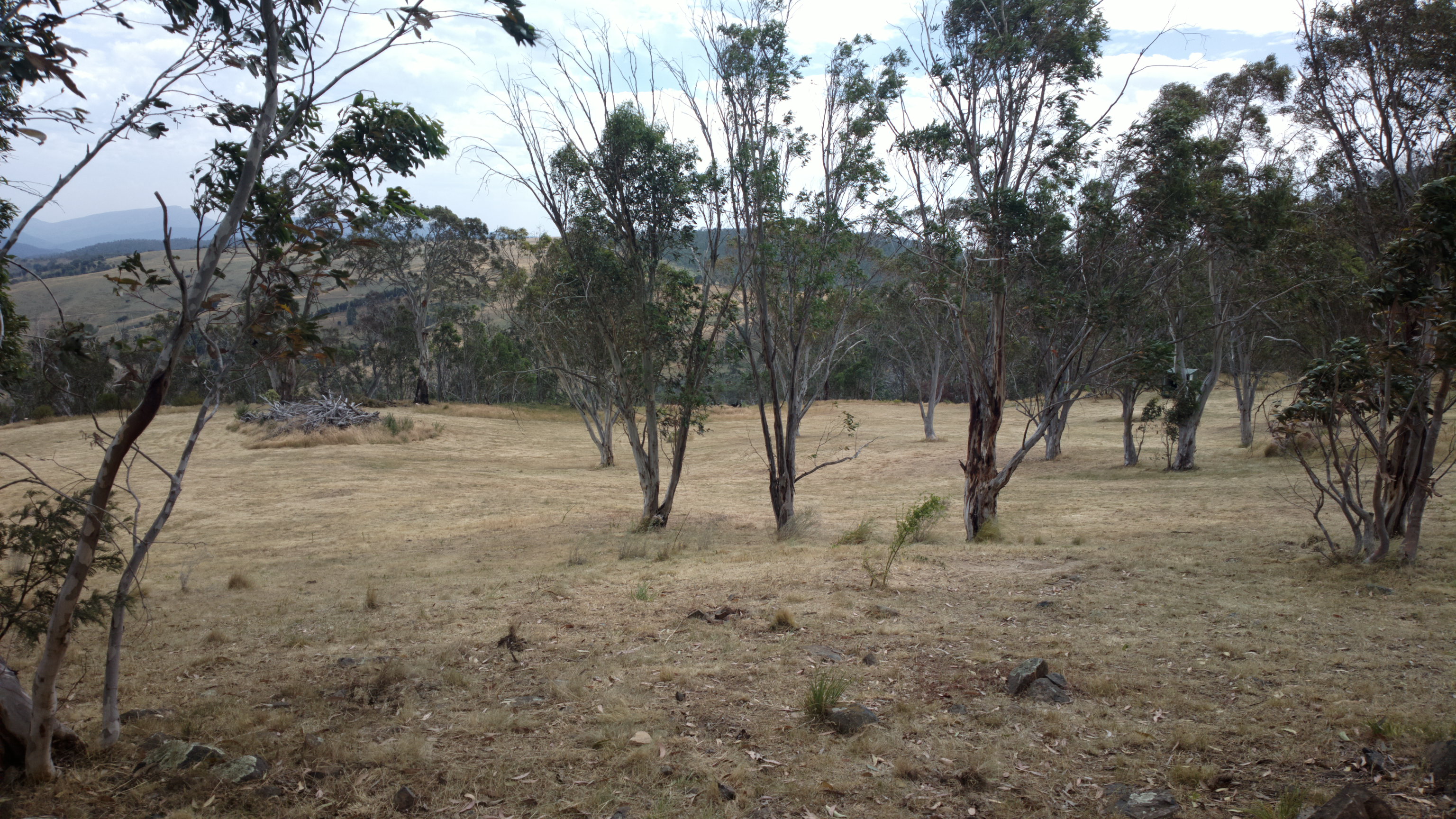
View from Duncan and Di's site sheds
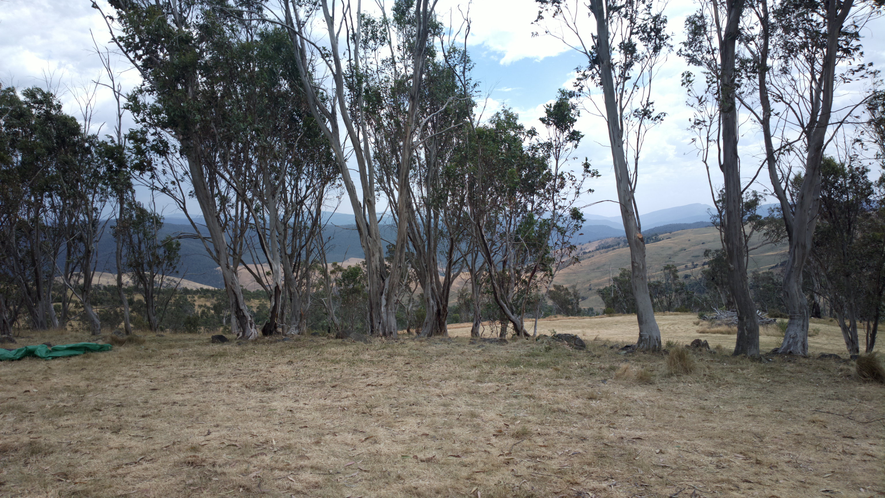
View from Duncan and Di's site sheds
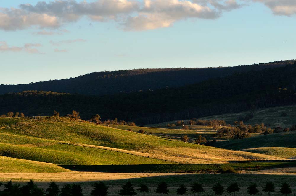
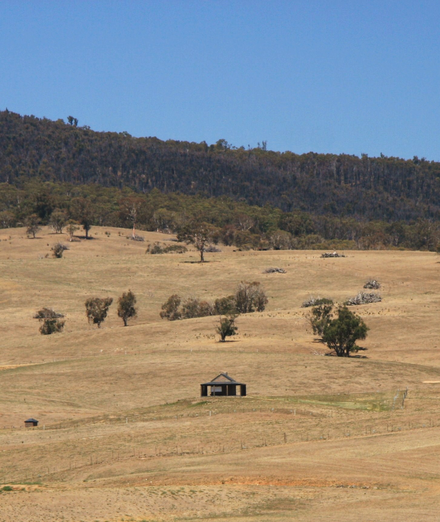
Farmland near Omeo, Great Alpine Road, Victoria, Australia
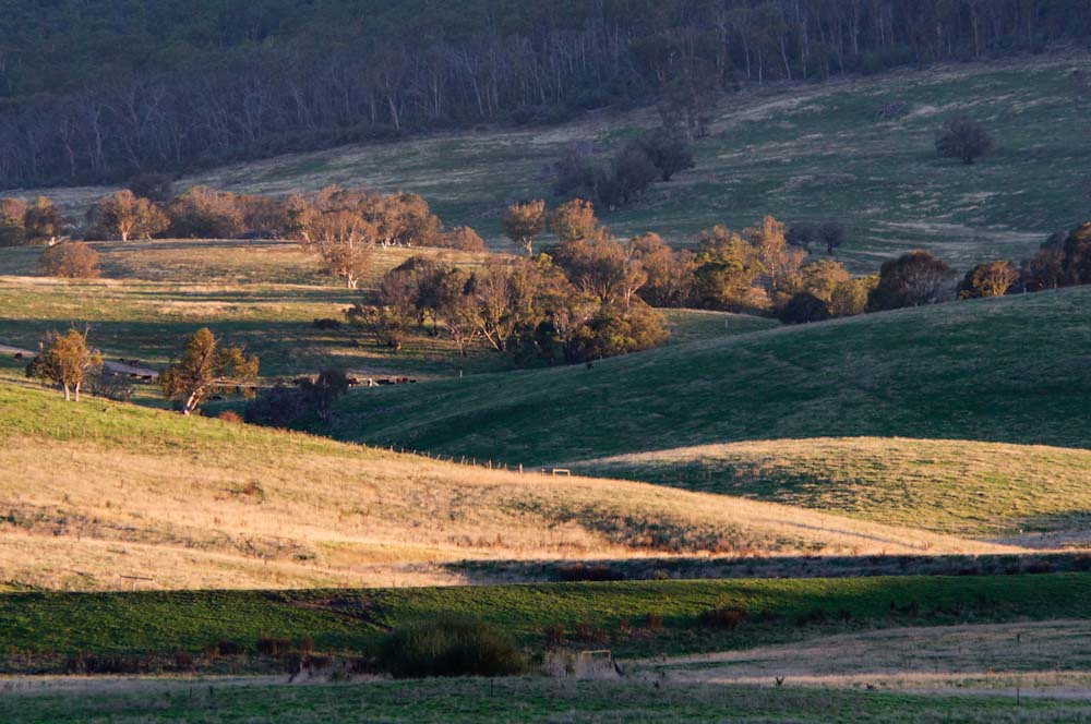
Farmland near Omeo, Great Alpine Road, Victoria, Australia
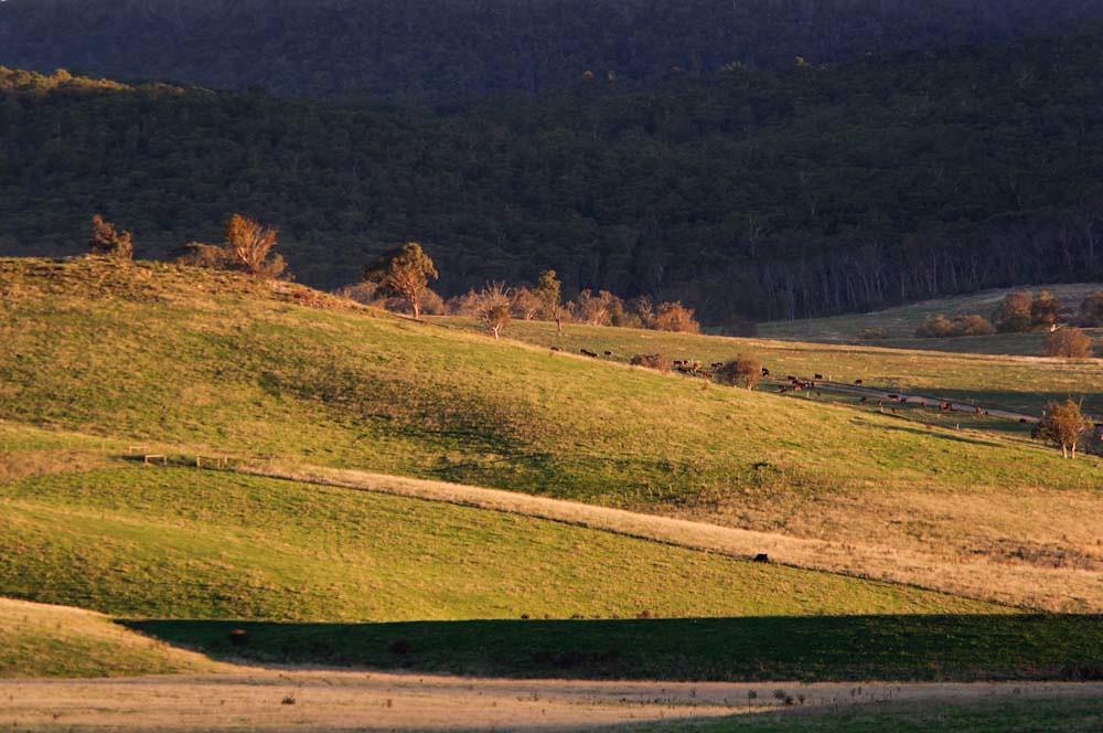
Farmland near Omeo, Great Alpine Road, Victoria, Australia
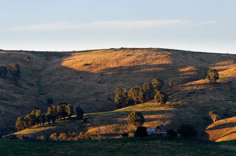
Farmland near Omeo, Great Alpine Road, Victoria, Australia

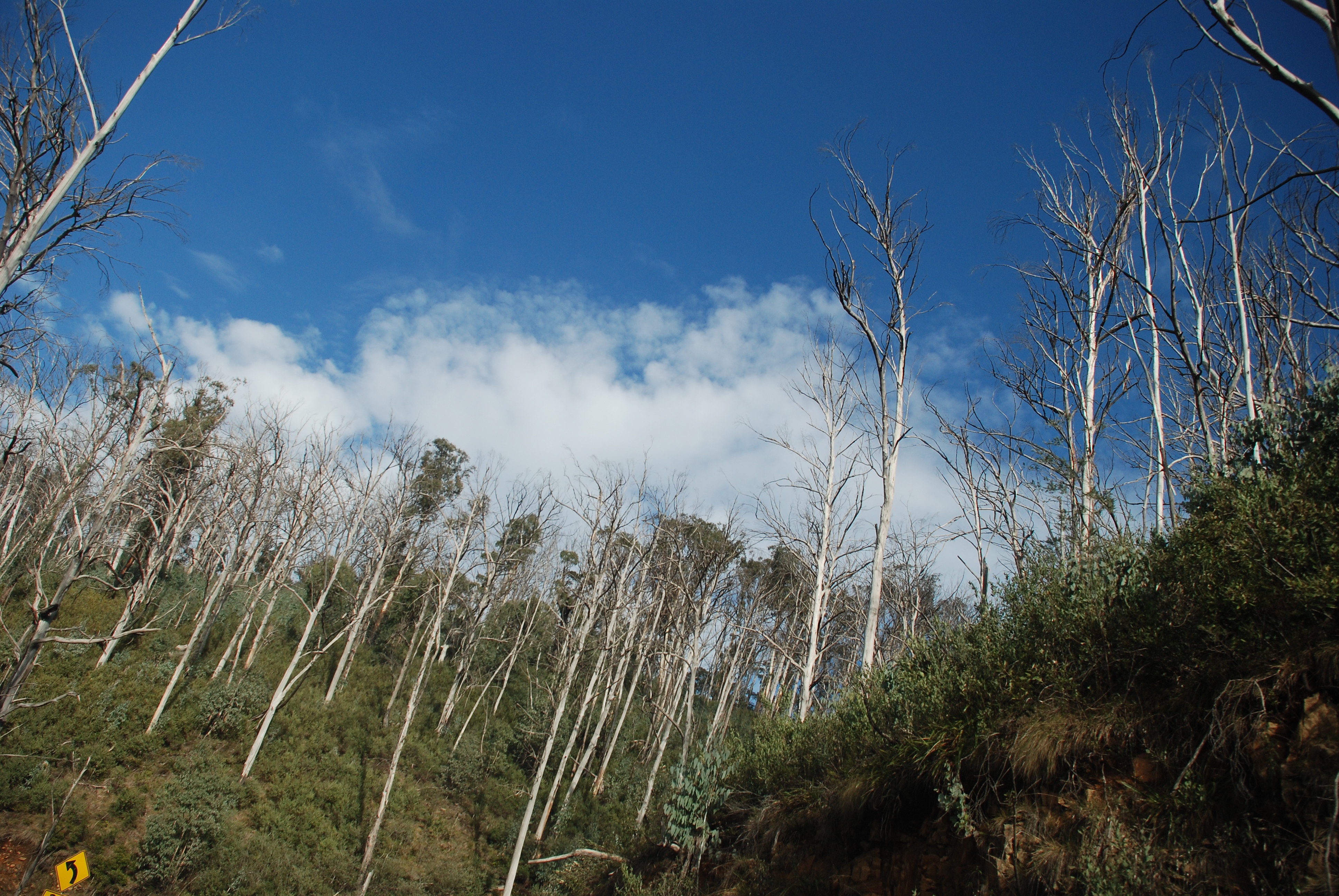
Quintessential Australia
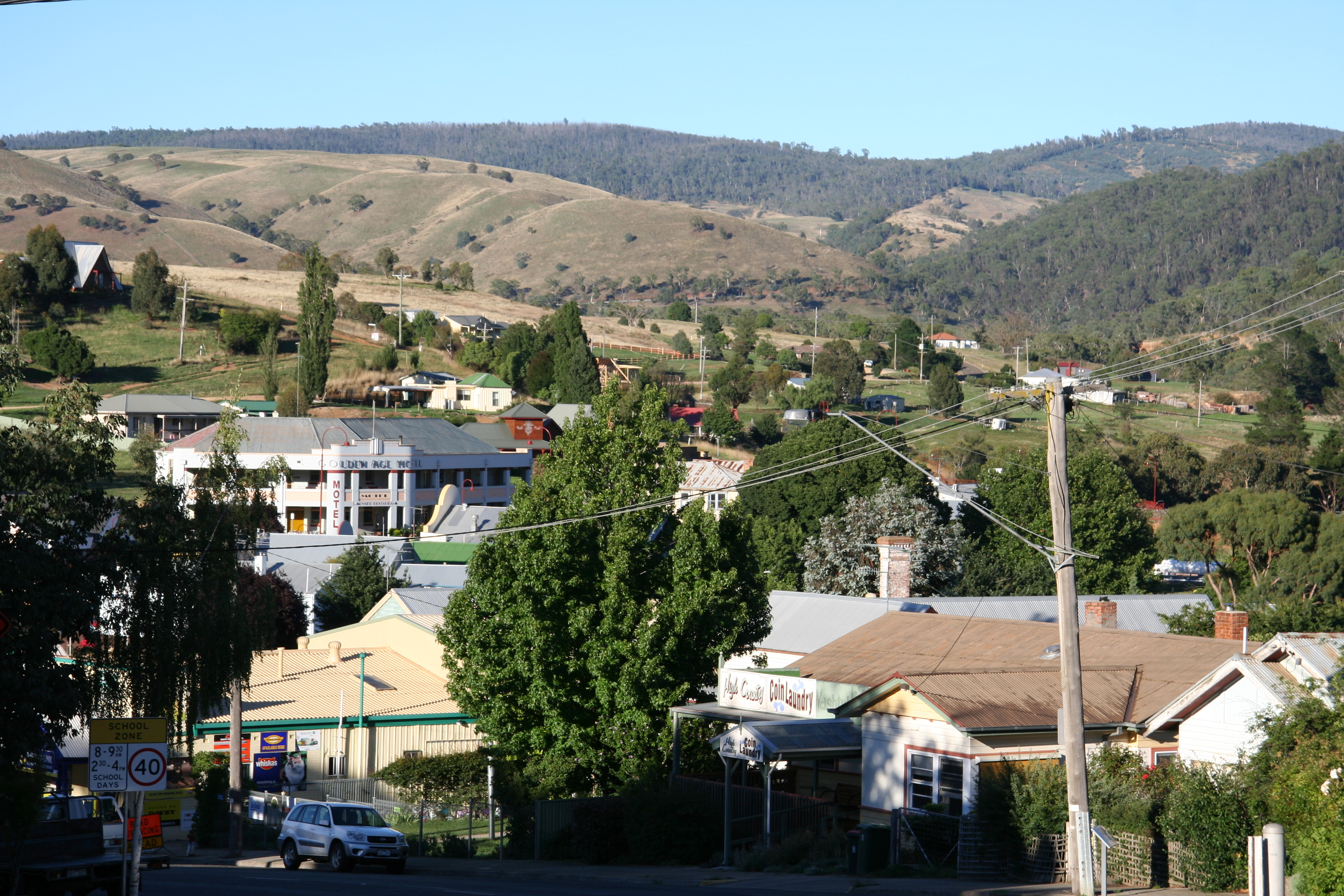
omeo township

Danny's Lookout, Hotham
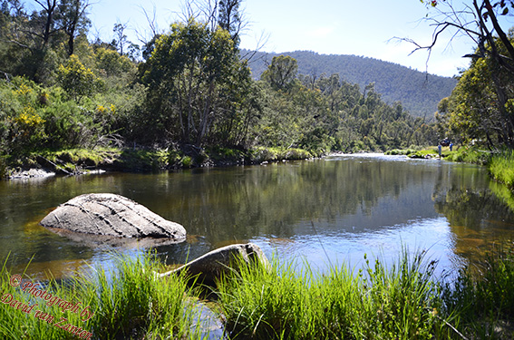
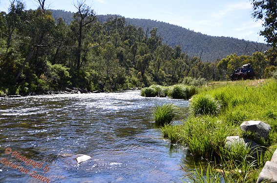
River sml
bHothamDay4-Seasons 063

Rocky Valley Dam, Falls Creek

Falls Creek looking toward the valley

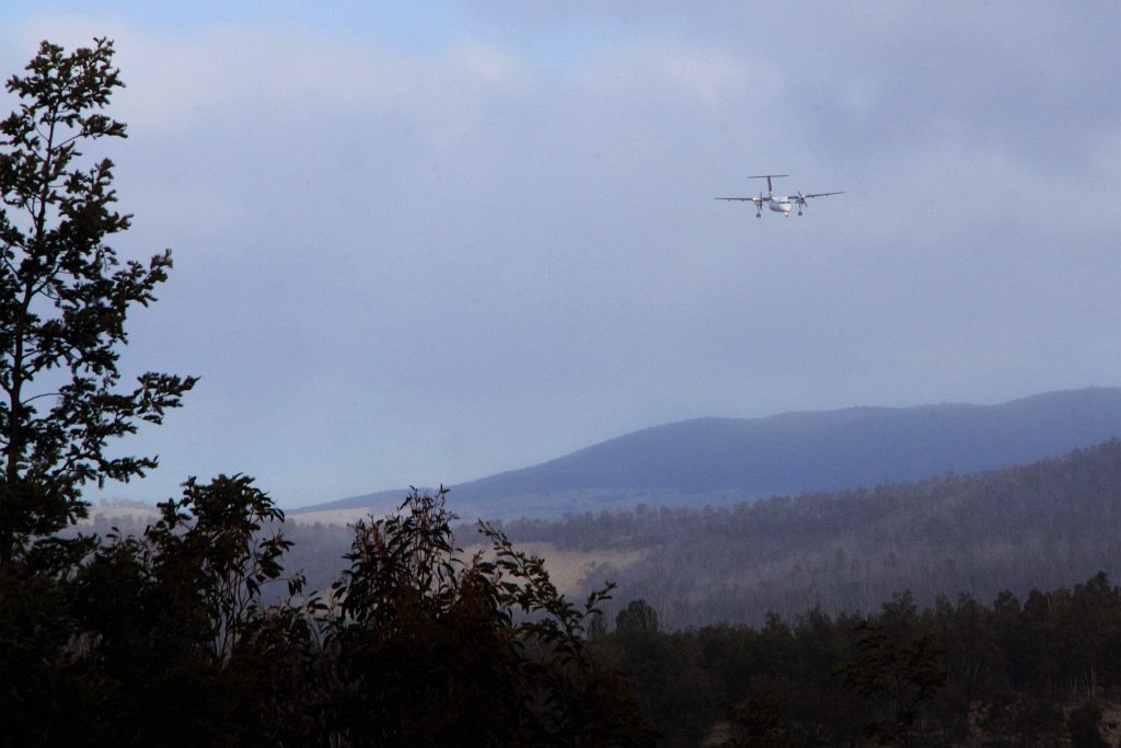
Approaching Mount Hotham: Qantas Dash-8 200 VH-TQG
Piper PA-31-310 Navajo VH-OYM departs Mount Hotham

For @pipdevine
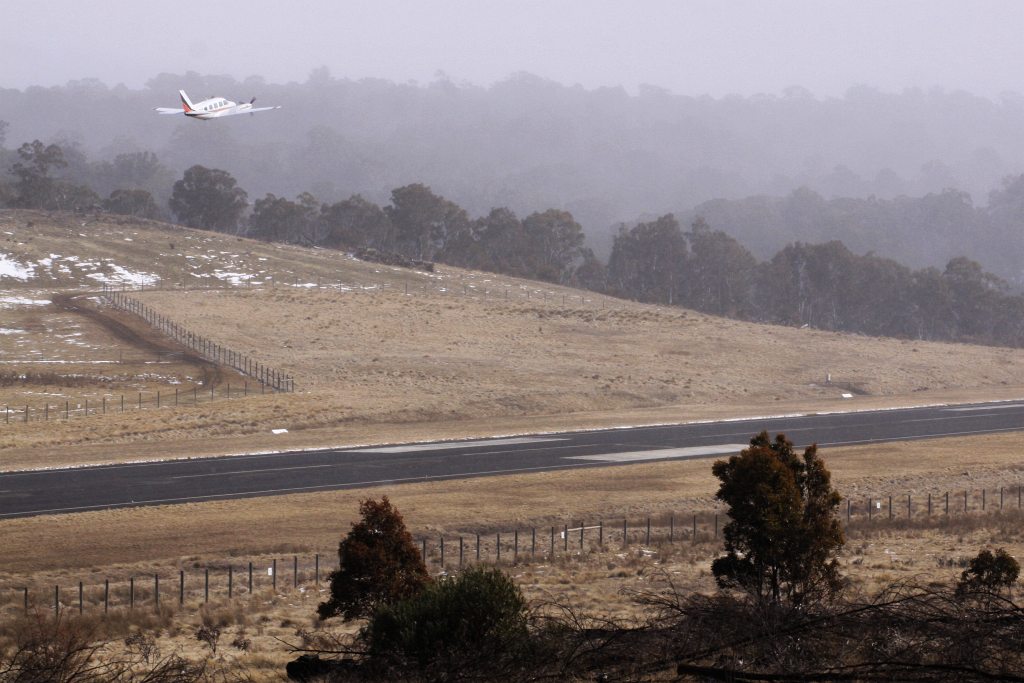
On final approach to Mount Hotham Airport
20140127_3121 Outside Omeo township
Little House at Cobungra
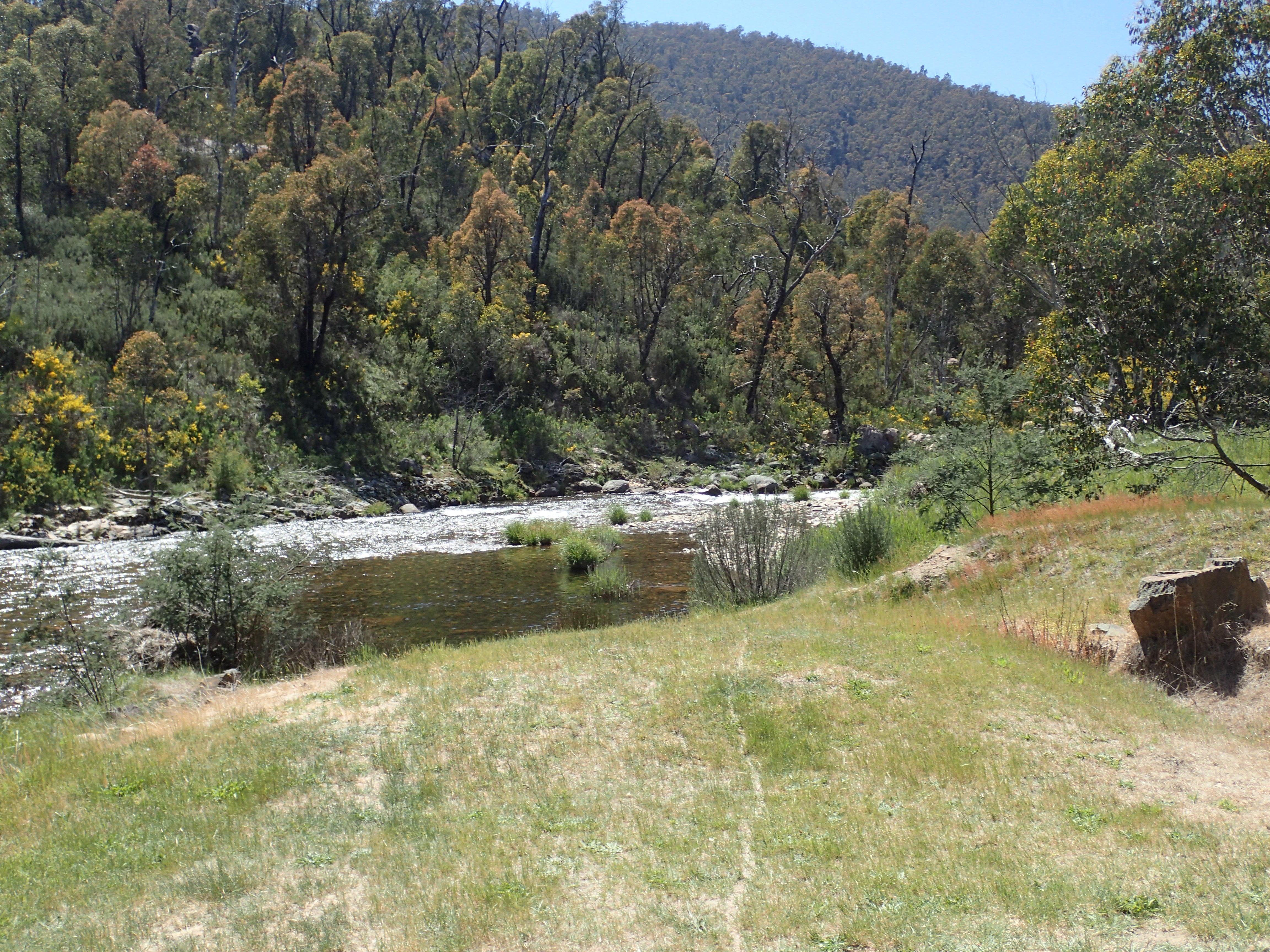
River 3 sml

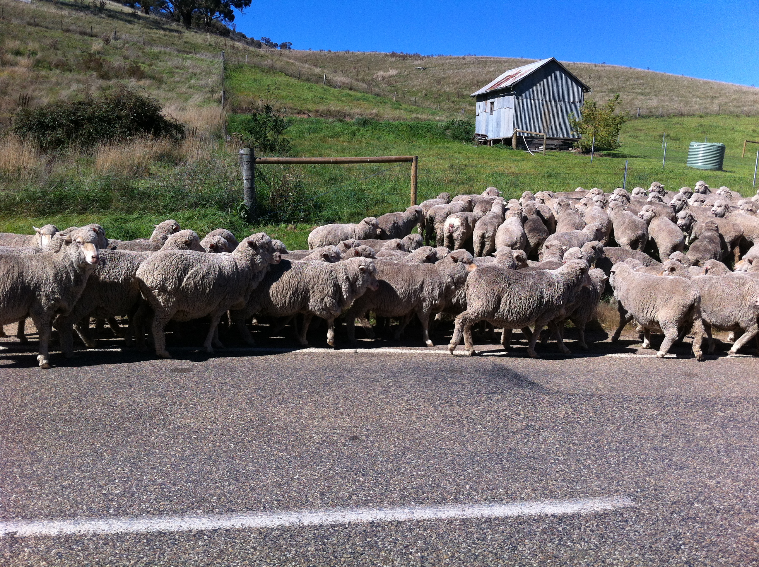
Hay!
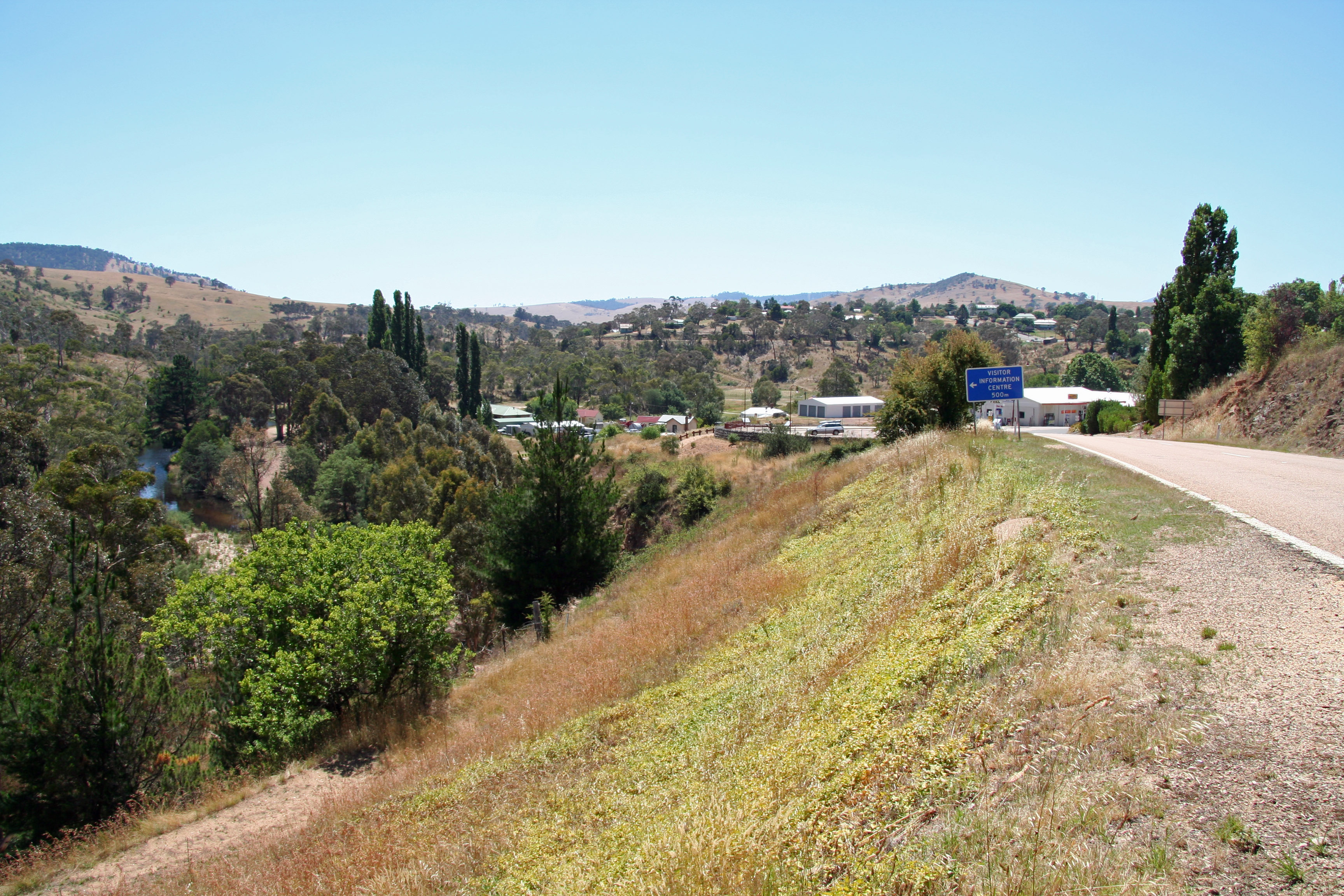
Outskirts of Omeo
Bundara River PB100235
Topographic Map of Cobungra VIC, Australia
Find elevation by address:

Places in Cobungra VIC, Australia:
Places near Cobungra VIC, Australia:
75 Cobungra Ct
40 Victoria Ct
48 Cobungra Rd
5 Cobungra Rd
51 Cobungra Rd
Victoria Falls Road
25 Fox Ct
32 Fox Ct
141 Bogong High Plains Rd
Omeo
222 Omeo Valley Rd
Dinner Plain
Glen Valley
Cope Hut
Falls Creek
Dibbins Hut
Mount Hotham Alpine Resort (unincorporated)
Hotham Heights
Arlberg Hotham
35 Lawlers Ct
Recent Searches:
- Elevation of Corso Fratelli Cairoli, 35, Macerata MC, Italy
- Elevation of Tallevast Rd, Sarasota, FL, USA
- Elevation of 4th St E, Sonoma, CA, USA
- Elevation of Black Hollow Rd, Pennsdale, PA, USA
- Elevation of Oakland Ave, Williamsport, PA, USA
- Elevation of Pedrógão Grande, Portugal
- Elevation of Klee Dr, Martinsburg, WV, USA
- Elevation of Via Roma, Pieranica CR, Italy
- Elevation of Tavkvetili Mountain, Georgia
- Elevation of Hartfords Bluff Cir, Mt Pleasant, SC, USA