Elevation of Azalia Dr, Adelanto, CA, USA
Location: United States > California > San Bernardino County > Adelanto >
Longitude: -117.41071
Latitude: 34.5168473
Elevation: 946m / 3104feet
Barometric Pressure: 90KPa
Elevation Map:
Satellite Map:
Related Photos:

Rock on Fence Post

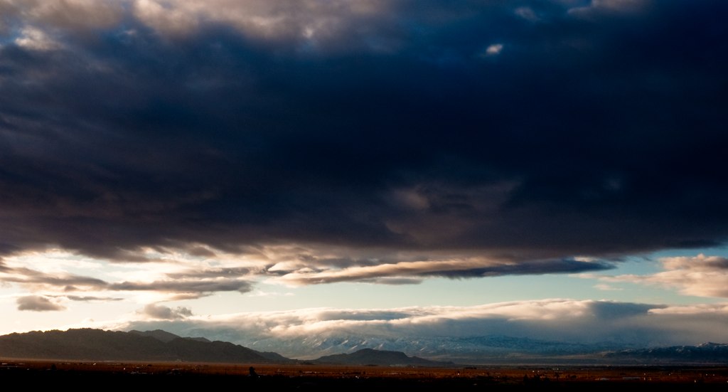
Dawn's First Light

Harley Davidson
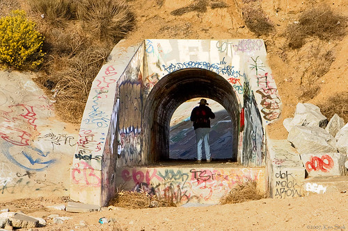
Culvert Explorer

Water Fowl at Daybreak
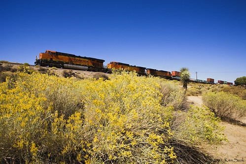
Crossing the Mojave River
Heading up the Flyover
Steel Coils Passing through Frost
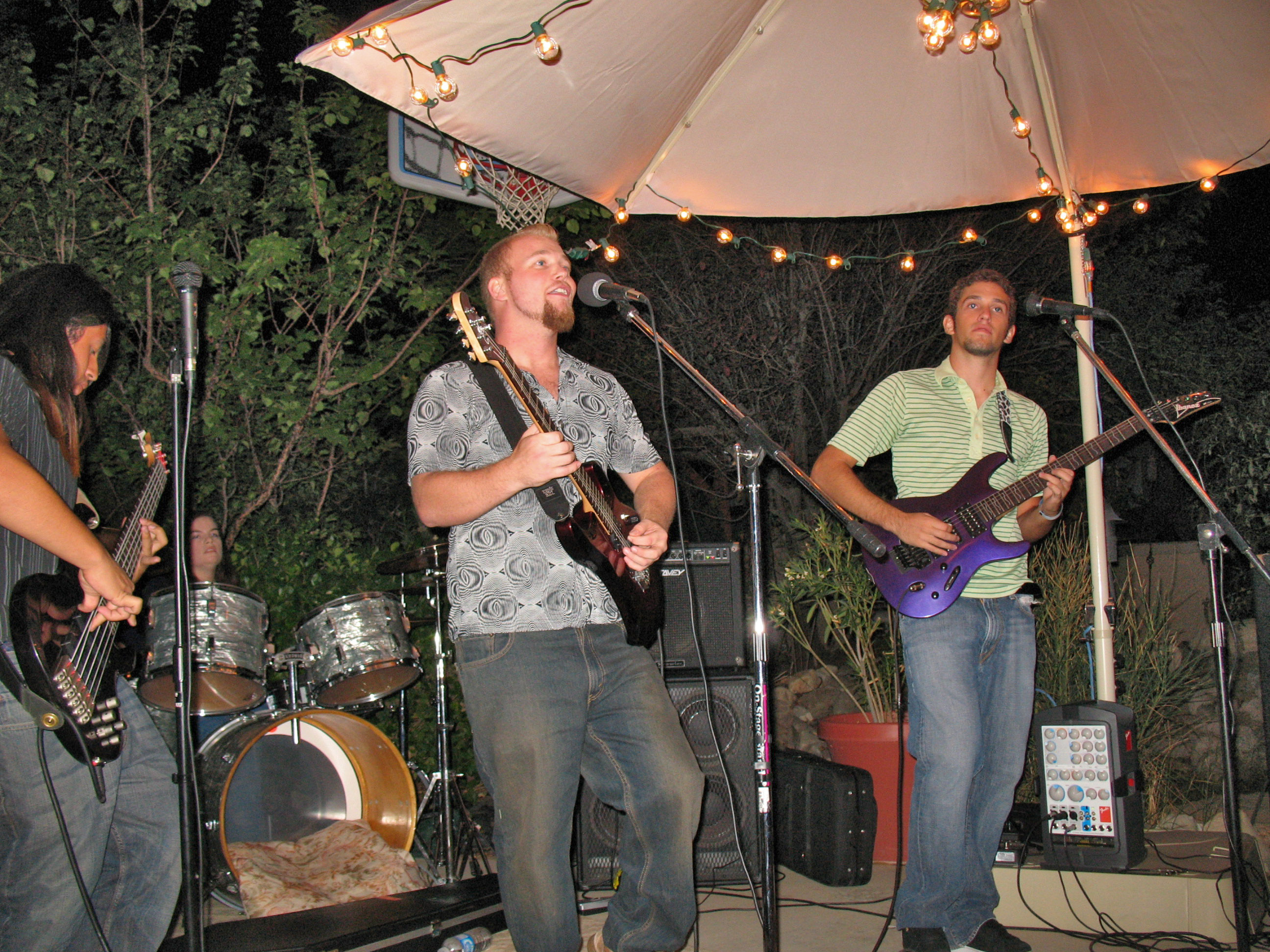
Best laid plans
Eastbound @ Frost
modular house
A view from my new room.

Side View Ferris Wheel Blue & Yellow

Got one on the flyover at last!
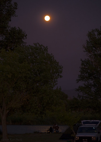
Camping under a Full Moon

Half View Ferris Wheel
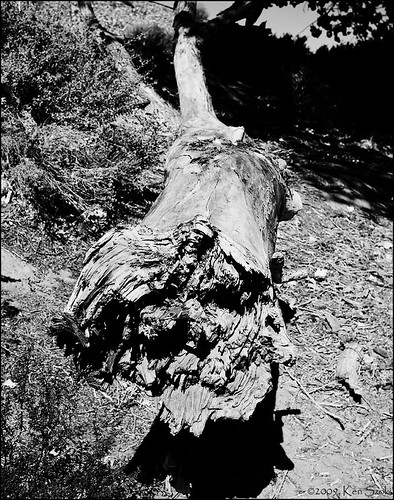
Fallen Limb
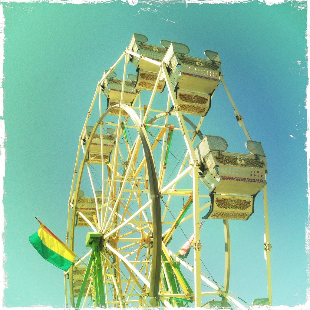
Ferris Wheel Side View Hipstagram

Night View
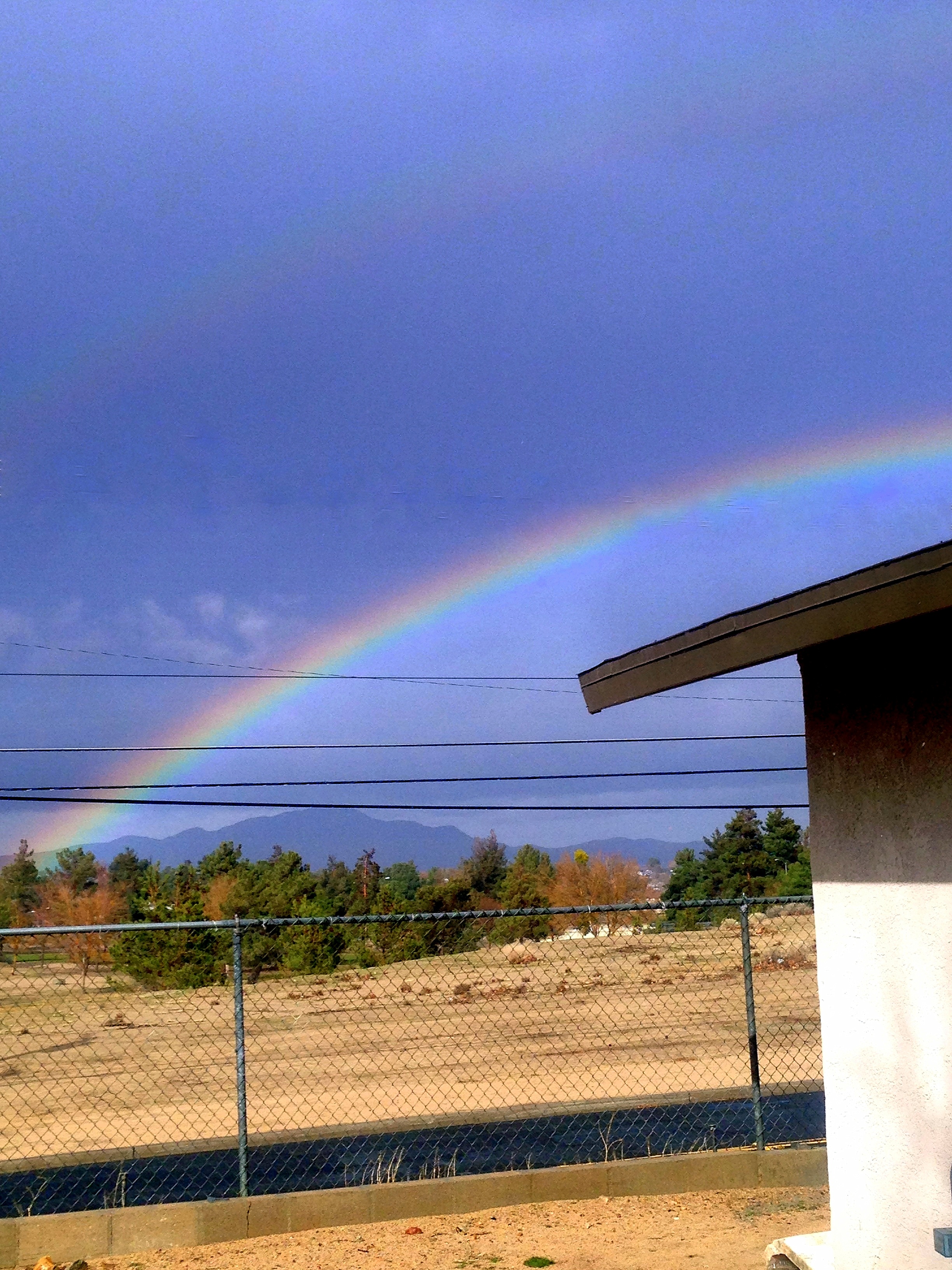
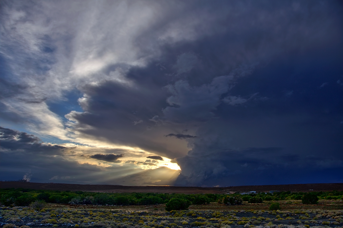
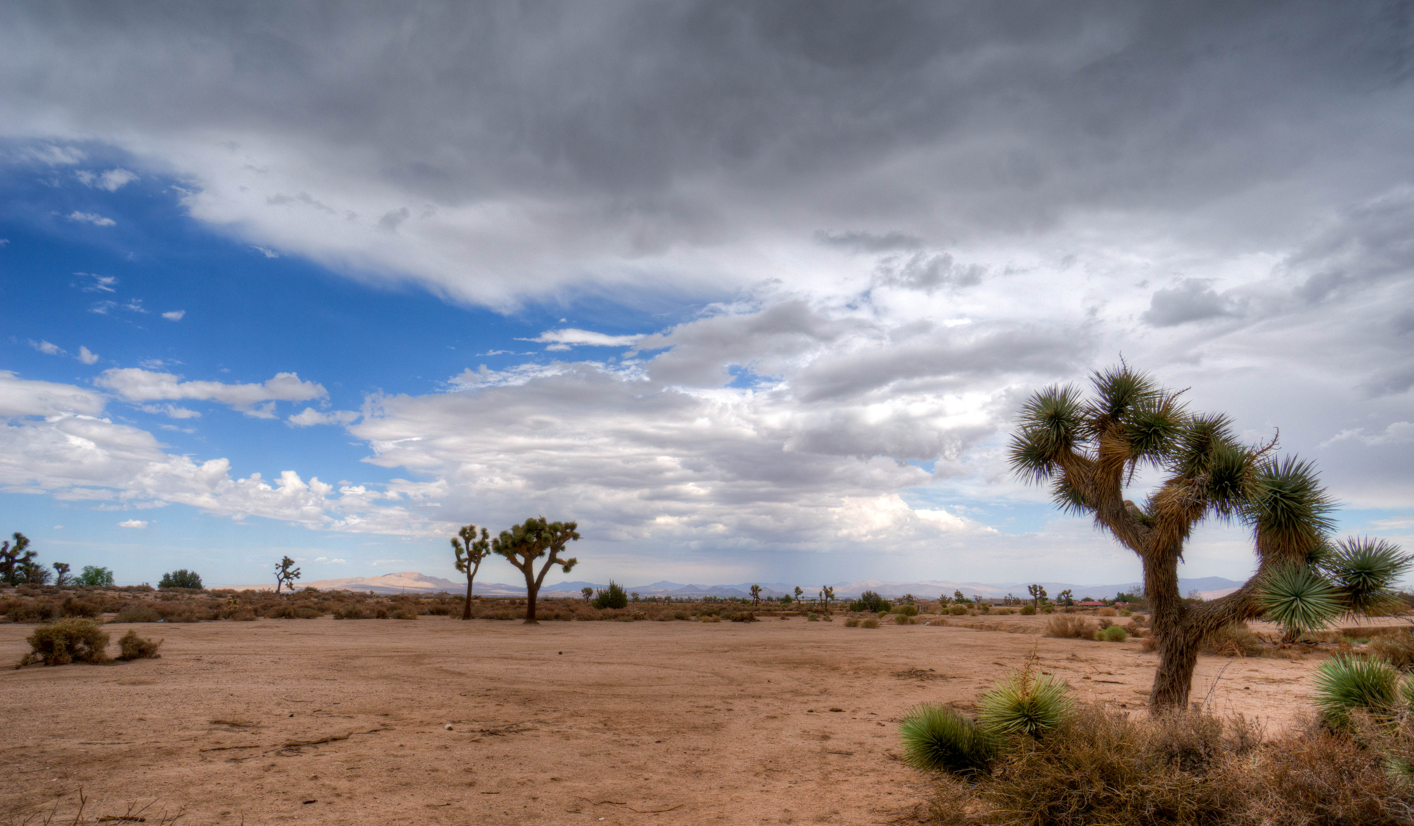
After the rain
Listen to Led Zeppelin while viewing this
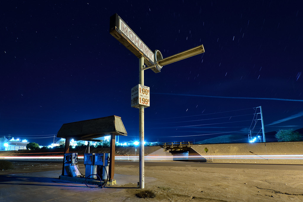
mohawk / route 66. oro grande, ca. 2014.
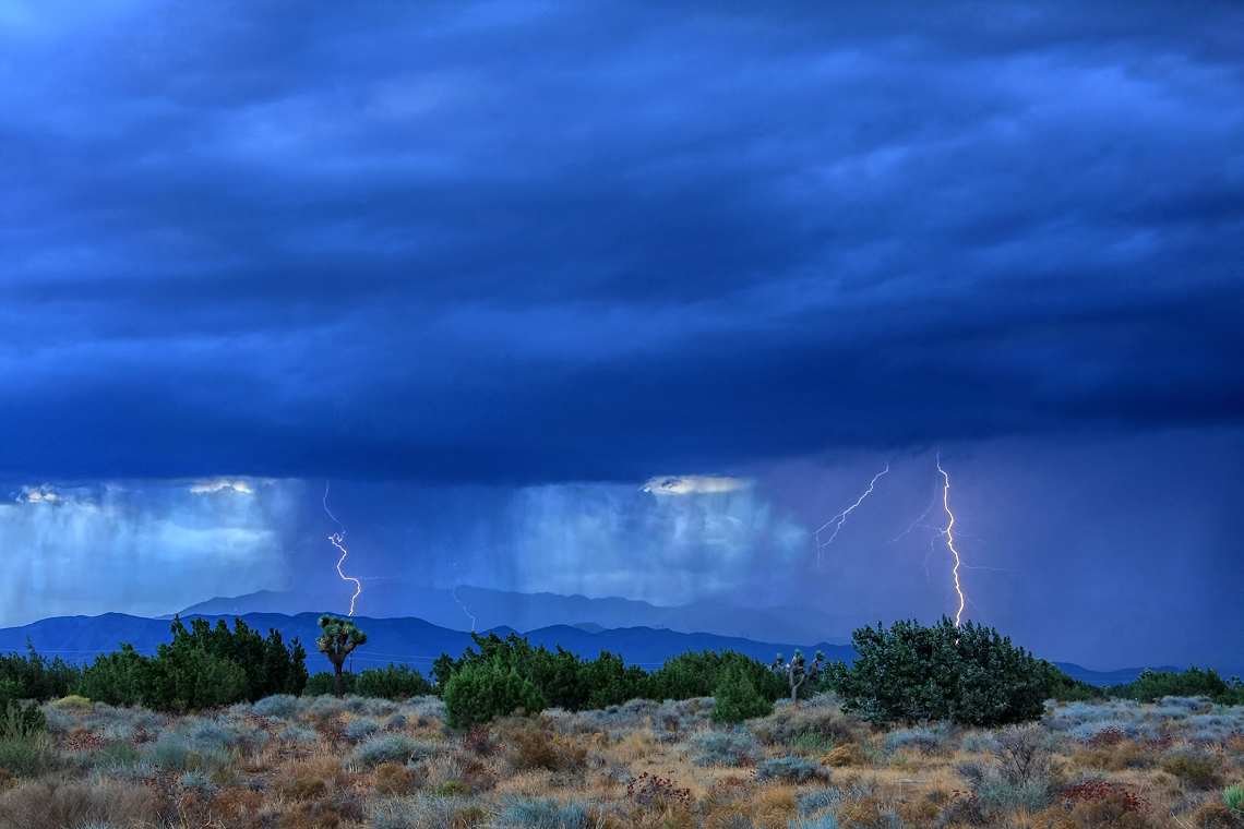
Desert Lightning Storm
Riding the Storm Out
20090217-DSC_0540
DSC_7307DSC_7306, Victorville, CA. March 22, 2012
DSC_7306, Victorville, CA. March 22, 2012
DSC_7308DSC_7306, Victorville, CA. March 22, 2012
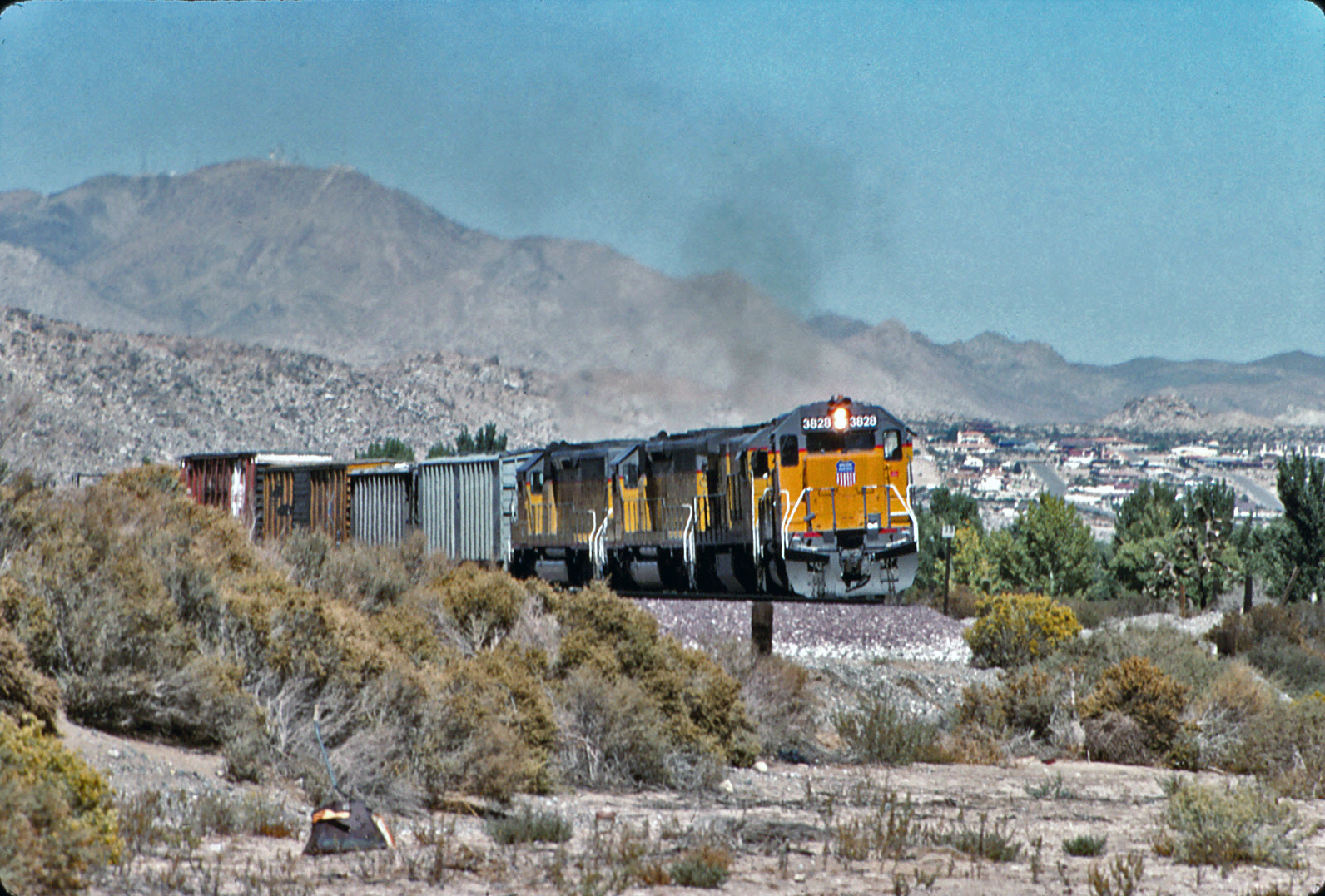
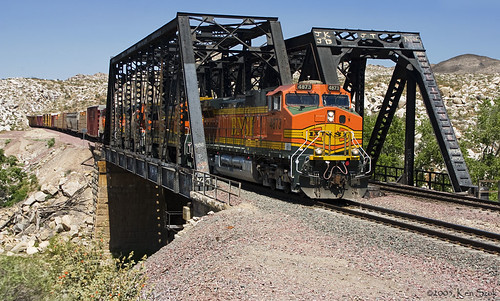
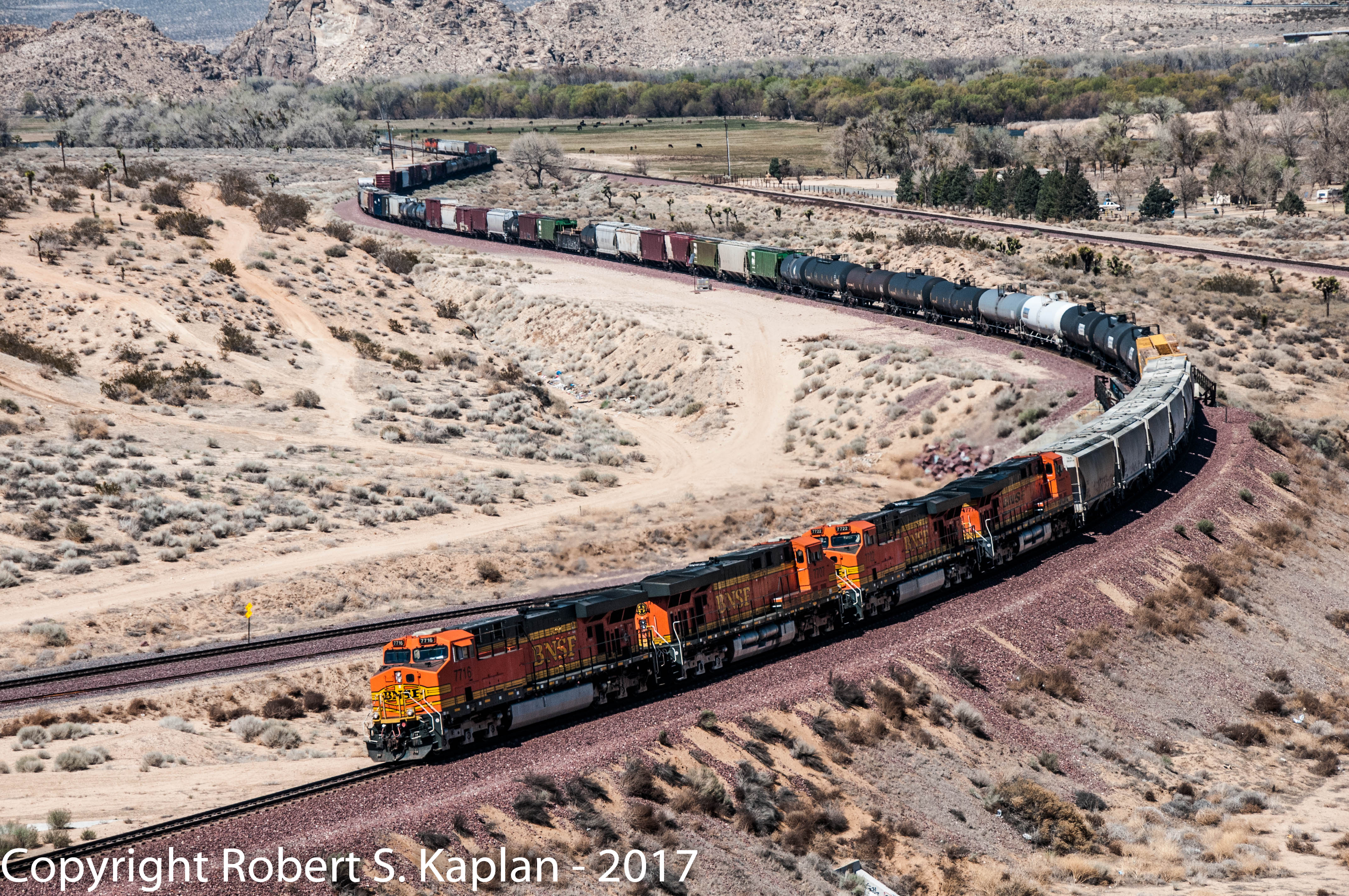
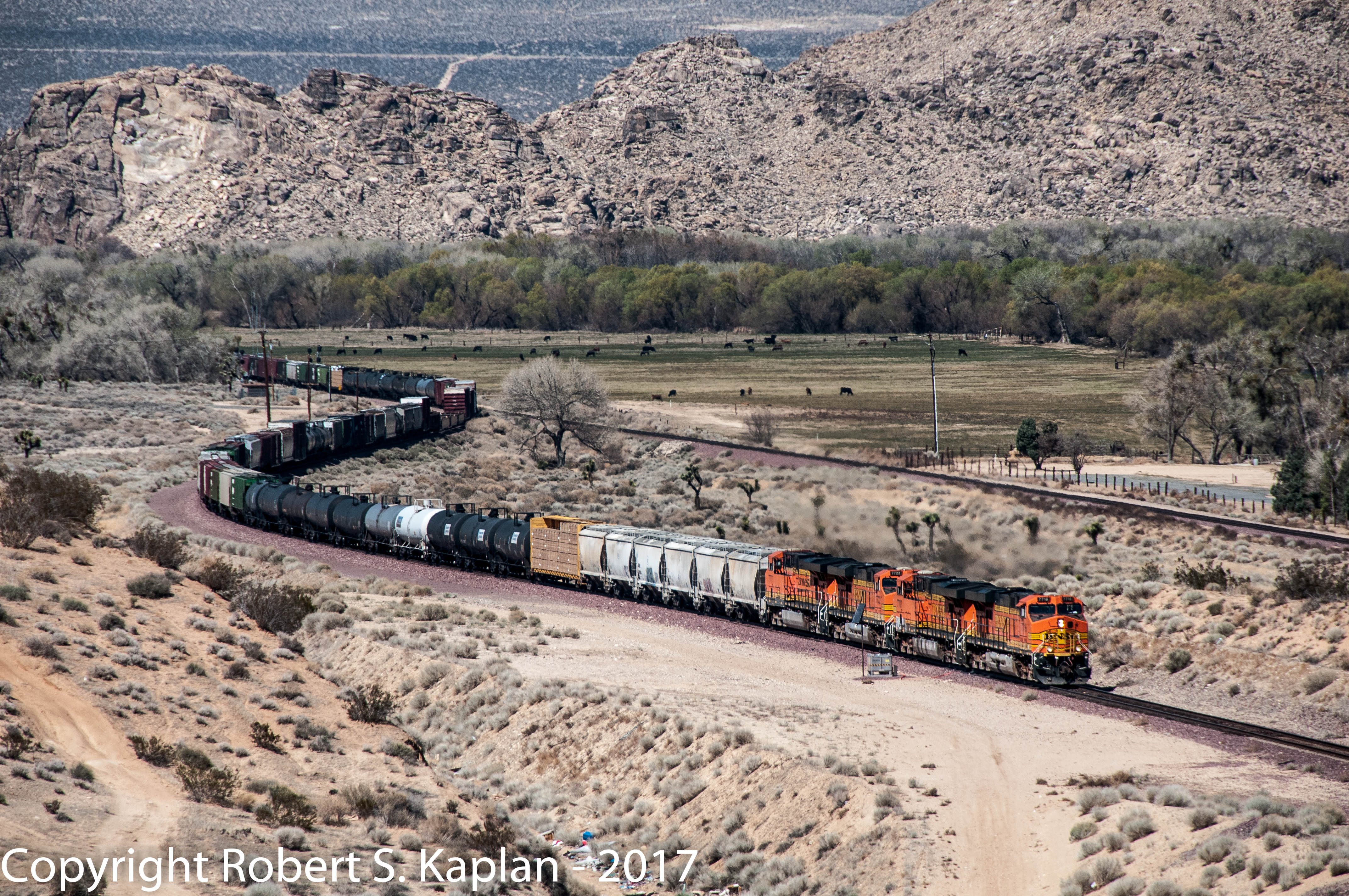
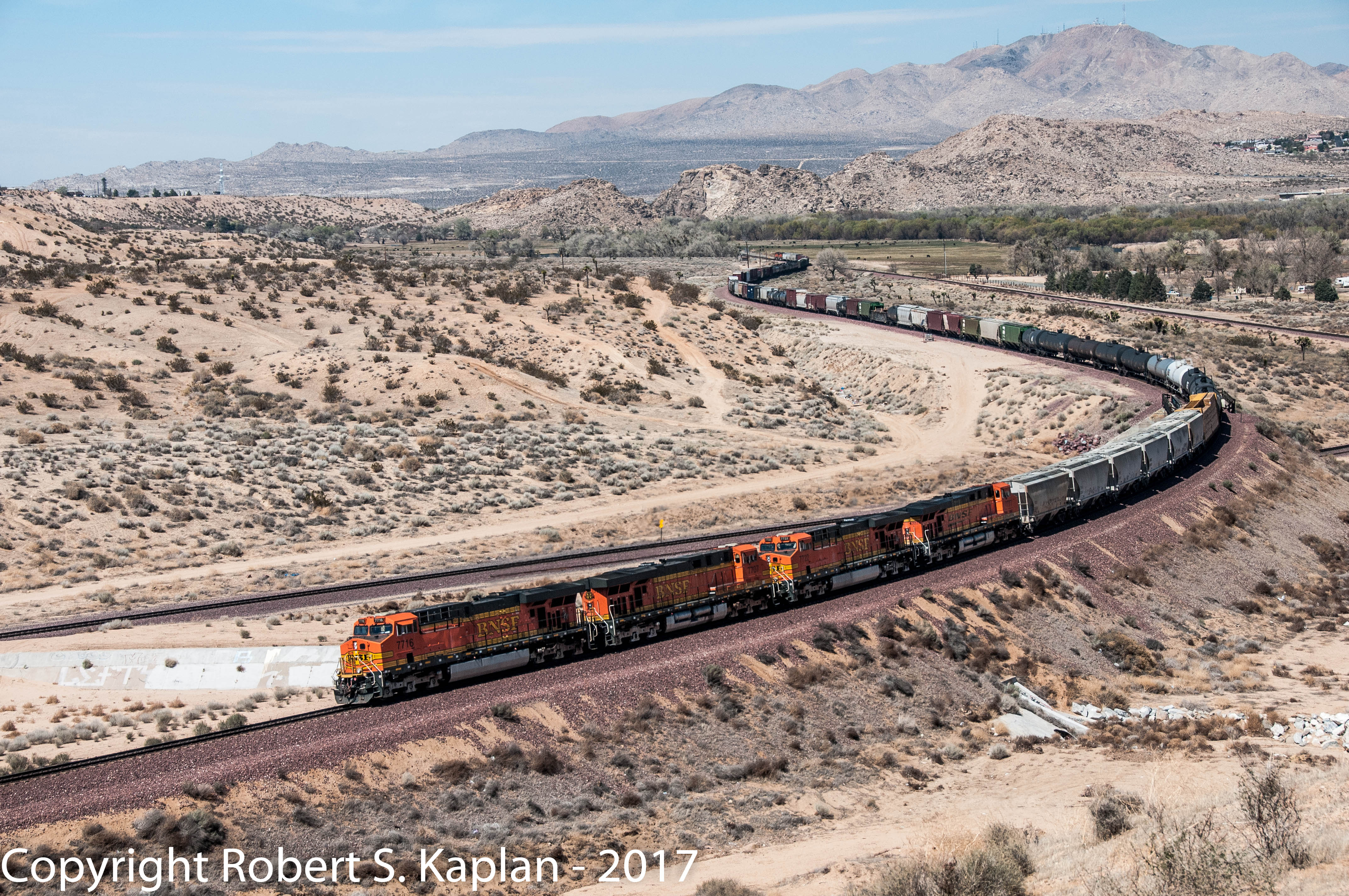
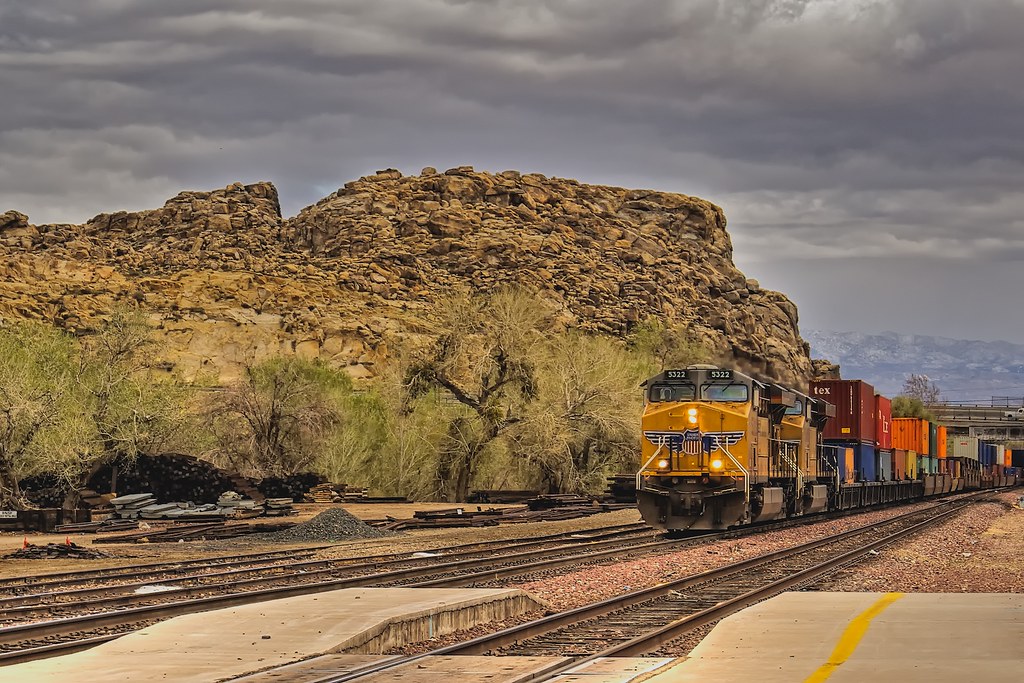
Union Pacific SD40-2 #3828 Lead A Freight Through The Mojave Desert At Frost
Adelanto, California
DSC_7309DSC_7306, Victorville, CA. March 22, 2012
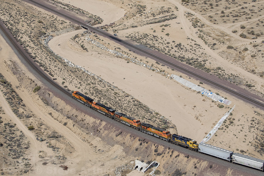
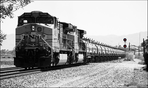
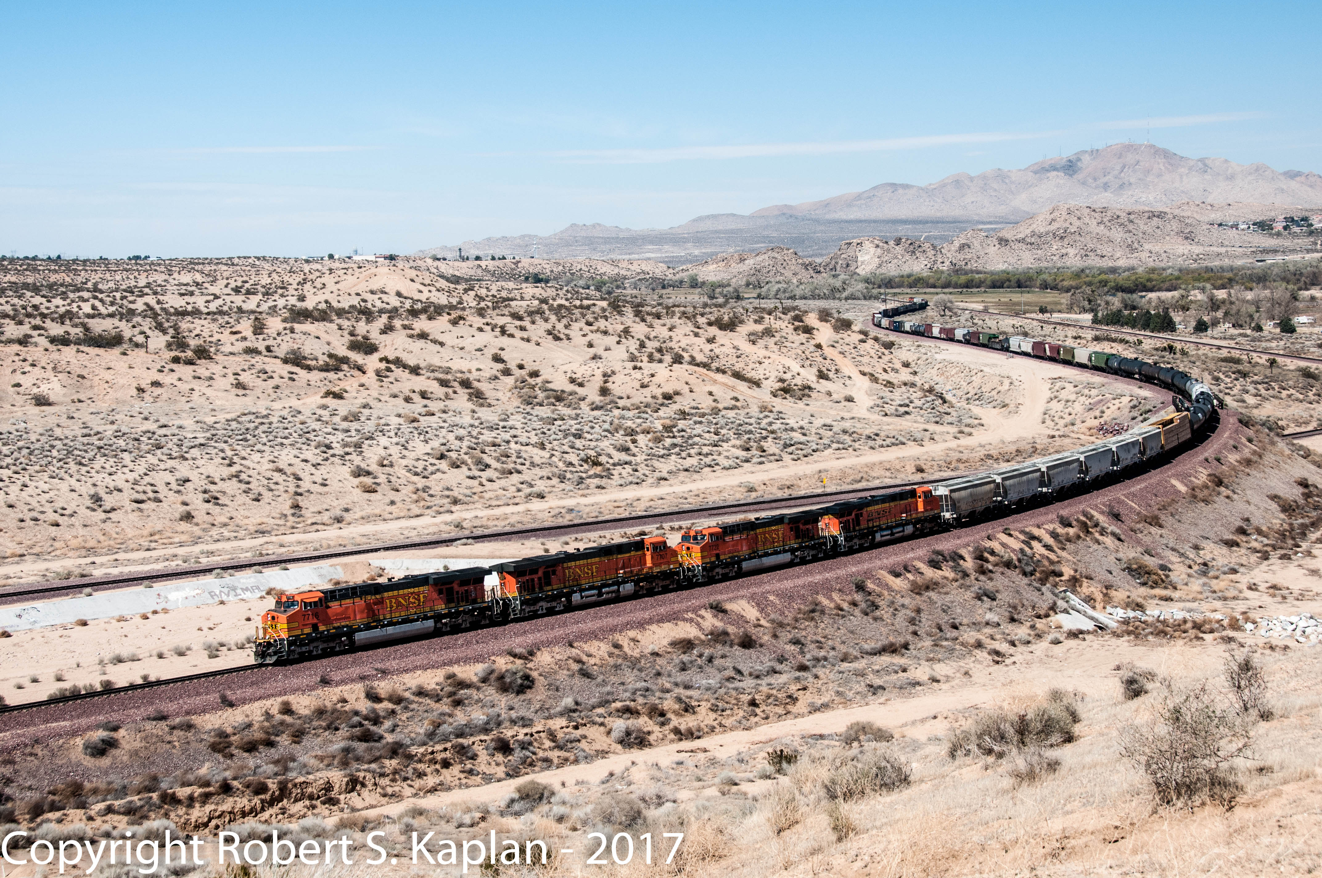
Victorville BNSF
Victorville, California
Victorville freight

State Highway Junction Route CA-18 Happy Trails Highway approaching Interstate 15 Victor Valley Mojave Freeway NORTH left turn at this intersection traffic signal lights followed by I-15 SOUTH next second left and right lane thru traffic straight ahead

Interstate 15 Northbound Victor Valley Mojave Freeway approaching Exit 150 - State Highway Junction Route CA-18 WEST Palmdale Road exit 1 mile with this overhead sign located at Victorville, California 92392.
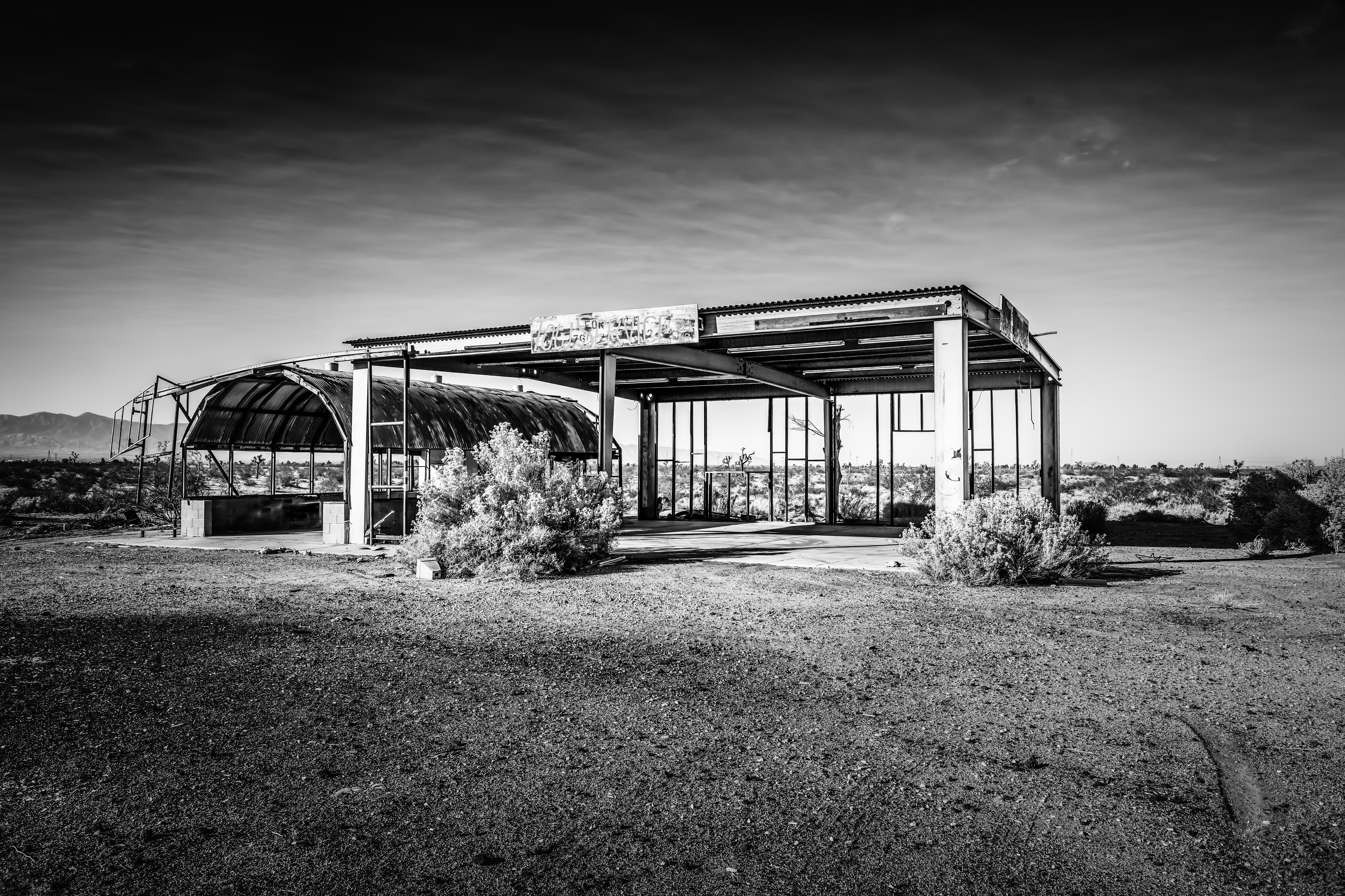
Cal Earth-20130907-94.jpg
Pct day 17
Passing Through
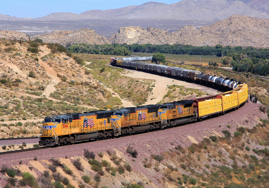
Union Pacific Freight Train at Frost
Cal Earth-20130907-127.jpg

#california #Sunset #clouds #random
Topographic Map of Azalia Dr, Adelanto, CA, USA
Find elevation by address:

Places near Azalia Dr, Adelanto, CA, USA:
Shanandoah St, Adelanto, CA, USA
11800 Vista Verde St
Vista Verde Elementary School
Begonia Road
12899 Berrydale St
13442 Viejo Cir
US-, Victorville, CA, USA
12548 Valewood Dr
14485 Seneca Rd
Lee Ave, Adelanto, CA, USA
Maricopa Rd, Victorville, CA, USA
Adelanto
George Airforce Base
11610 Chamberlaine Way
15570 Peace Pipe St
13364 Aerospace Dr
15252 Seneca Rd
Clovis St, Victorville, CA, USA
Bear Valley Road
14665 Bear Valley Rd
Recent Searches:
- Elevation of Corso Fratelli Cairoli, 35, Macerata MC, Italy
- Elevation of Tallevast Rd, Sarasota, FL, USA
- Elevation of 4th St E, Sonoma, CA, USA
- Elevation of Black Hollow Rd, Pennsdale, PA, USA
- Elevation of Oakland Ave, Williamsport, PA, USA
- Elevation of Pedrógão Grande, Portugal
- Elevation of Klee Dr, Martinsburg, WV, USA
- Elevation of Via Roma, Pieranica CR, Italy
- Elevation of Tavkvetili Mountain, Georgia
- Elevation of Hartfords Bluff Cir, Mt Pleasant, SC, USA