Elevation of Avenida Santa Marta, Indio, CA, USA
Location: United States > California > Riverside County > Indio >
Longitude: -116.26010
Latitude: 33.75799
Elevation: 13m / 43feet
Barometric Pressure: 101KPa
Elevation Map:
Satellite Map:
Related Photos:

ALL I NEED IS THE AIR THAT I BREATHE... in/out of Explore

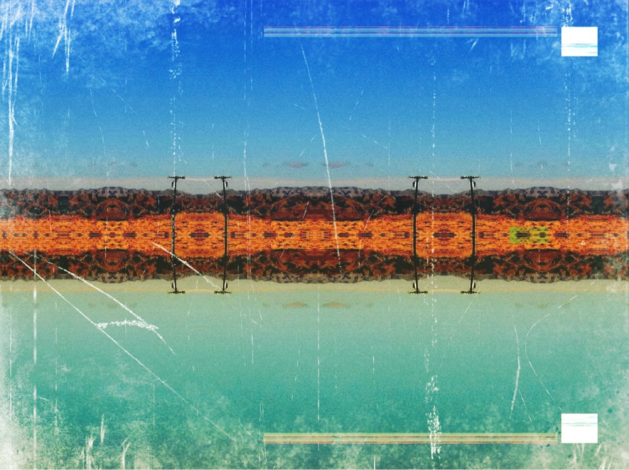
The Stripes Of A Fence
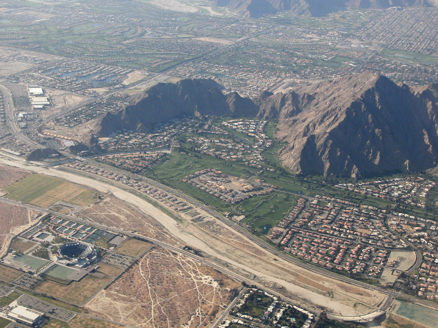
Above Indian Wells, La Quinta, Point Happy, and the Indian Wells Tennis Garden, Riverside County, California
View from Homewood Suites by Hilton La Quinta, CA

Above intersection of I-10 and Highway 86, Indio and Coachella, California
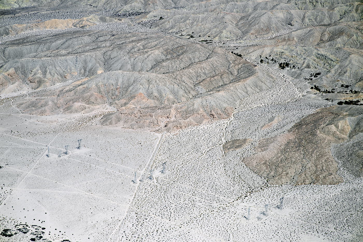
Aerial view of the San Andreas Fault Zone, Indio Hills, Riverside County, California

Morning Sunrise Clouds_1
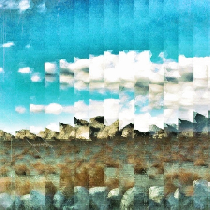
Sky View

KRAAAAAAZZZZZZY KLOUDS

Sunrise 11_8_2010

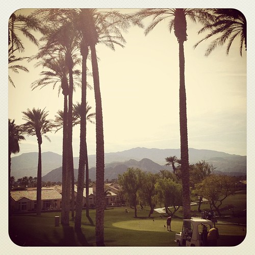
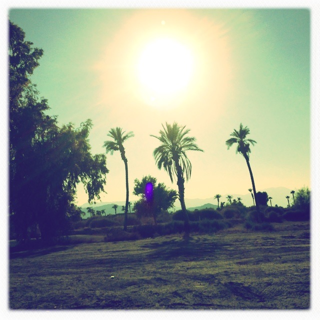
#Pretty #Sunset over the #golfcourse in #psp #laquinta #palmtrees #view #sun #sky #beautiful #palm
Doesn't get much better. Loved ones, sudoku, and a great view!
It's Palm Springs Modernism Week!
Homestead-Cassidy-Hayes Loop_20101031_023
Homestead-Cassidy-Hayes Loop_20101031_011
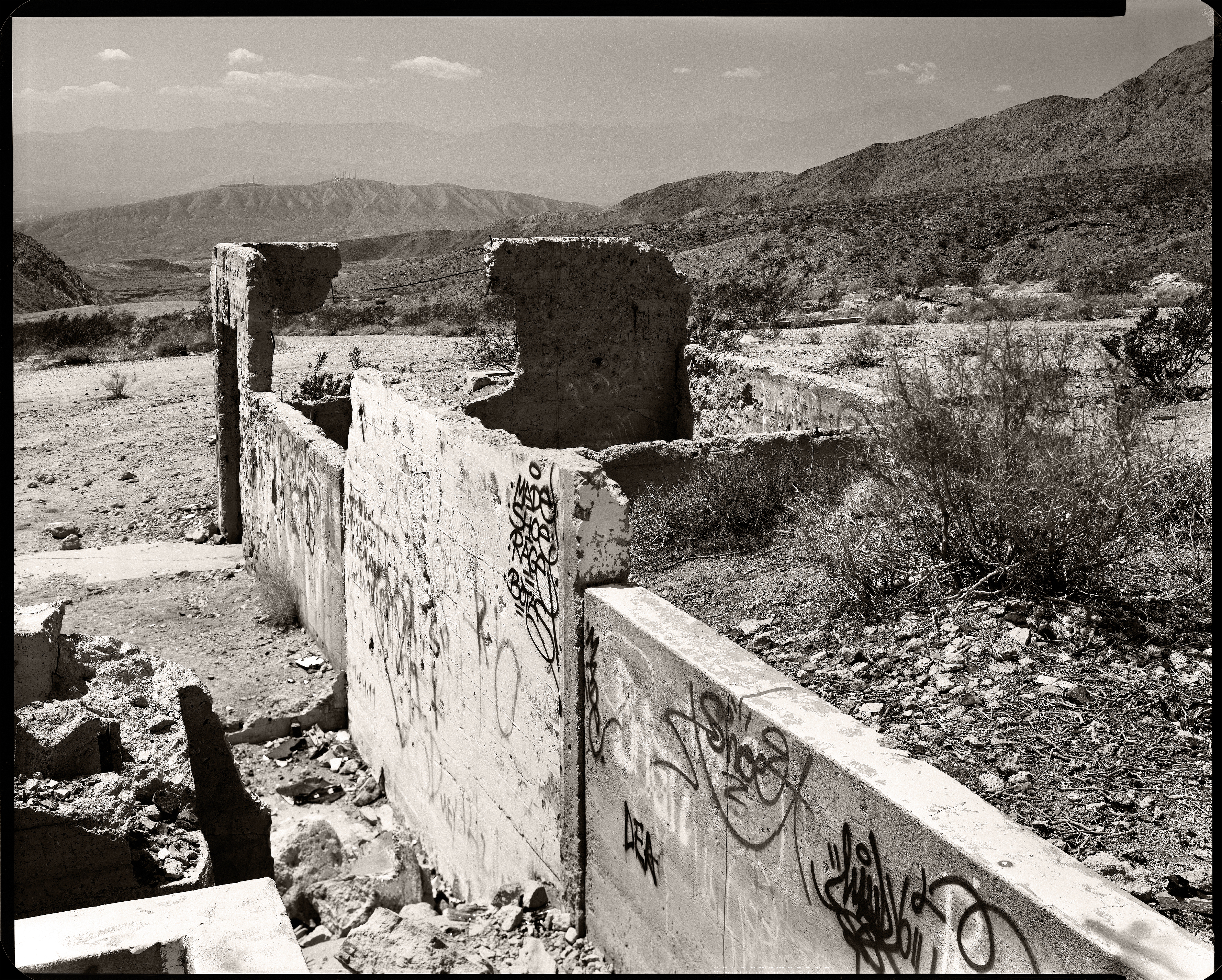
Berdoo Camp
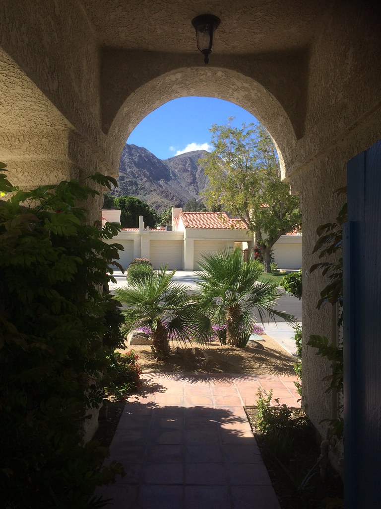
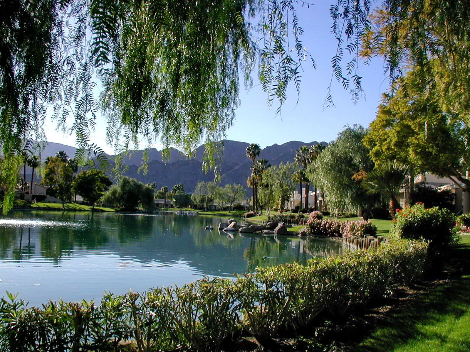
view out the front - Santa Rosa Cove

The Westin Desert Willow Villas, Palm Desert—Desert Willow Golf Course View of Main Club House. Click on thumbnail for more information about this asset.
Brunch view
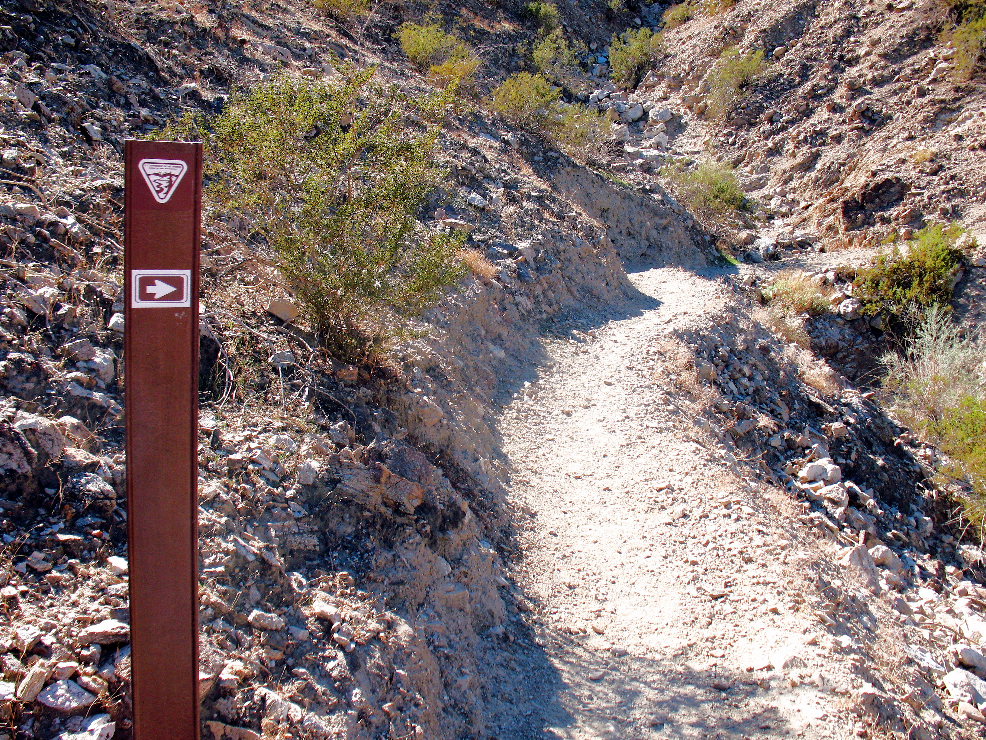
Homestead-Cassidy-Hayes Loop_20101031_033

Balloons and American Flag (Image Preservation Project)
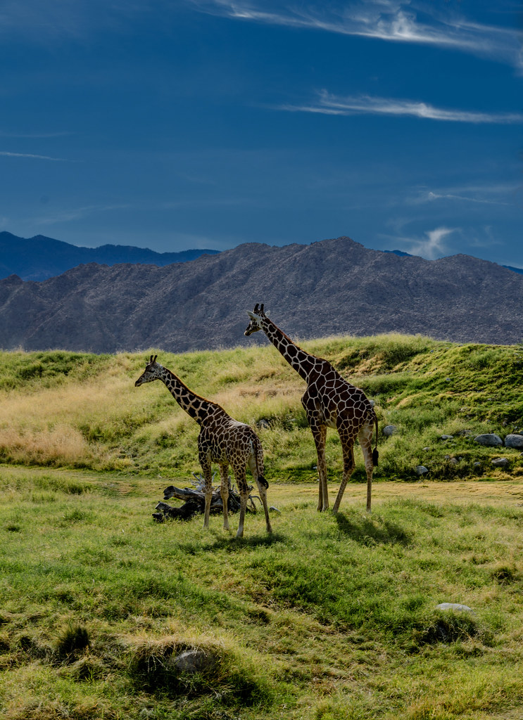
Giraffes at the Living Desert

Grazing Giraffes
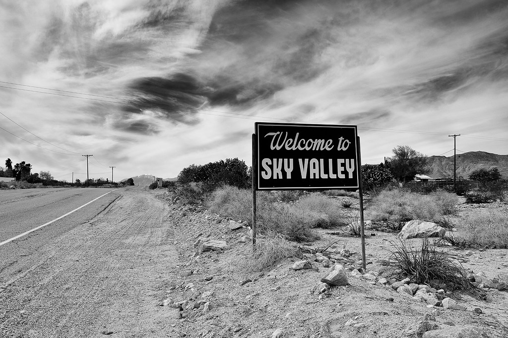
welcome. sky valley, ca. 2014.
Indian Wells 03

I'm a Giraffe

In Need of a New Hiding Spot
Cat-2659_-2_-3.jpg

Days End at The American Canal
Desert Island

Imagined Landscape VIII

January 2013 Landscape II
IV Mirage 03.12.12
#angledview #textures: #flowersandclouds #coachellavalleypreserve #omroamsuccess #kamaprana

Giraffe Pasture
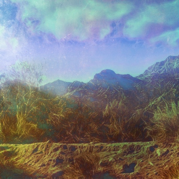
Photo Stream
Digital Impressions Of A Western Landscape II
#the desert #oggl
The Living Desert
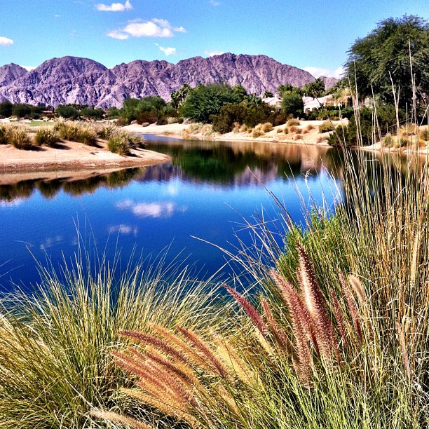
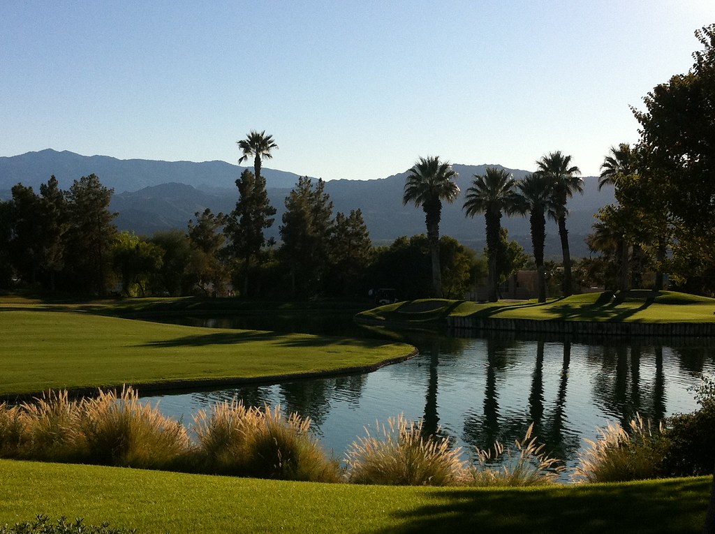
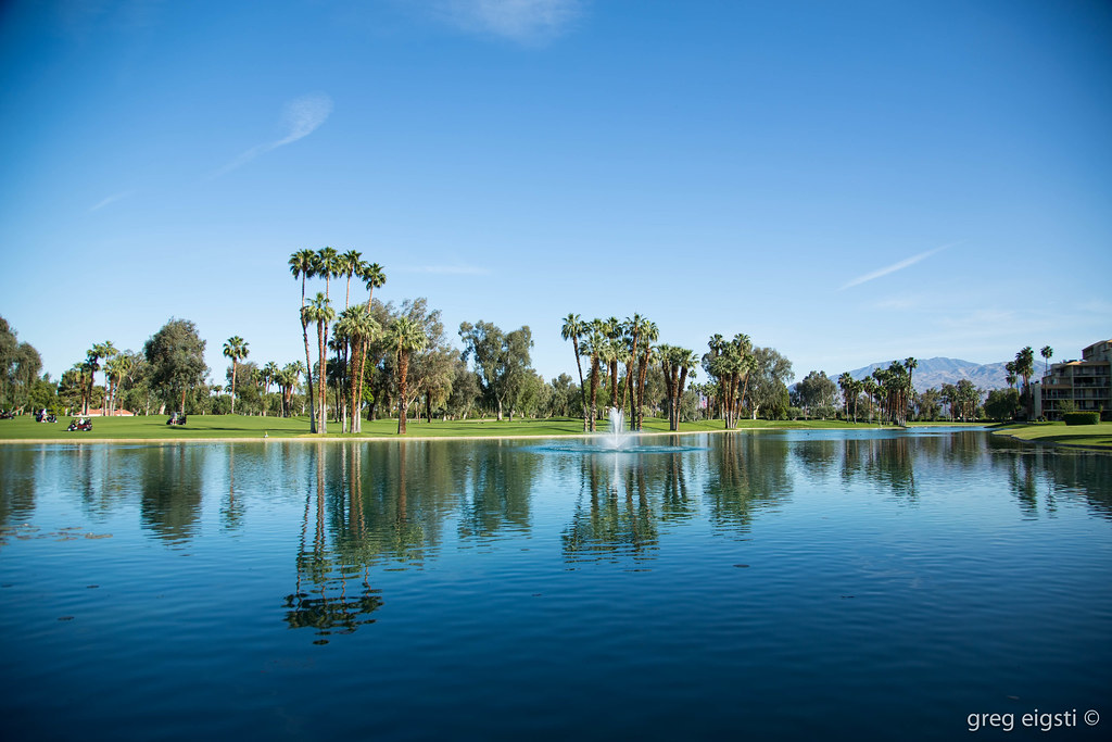
#Reflection over the #lake at the #1sttee #golf #gregnorman #pgawest #laquinta #psp #palm #palmsprings #sky #clouds #mountain #trees #pretty
the sensitive kind - 2012
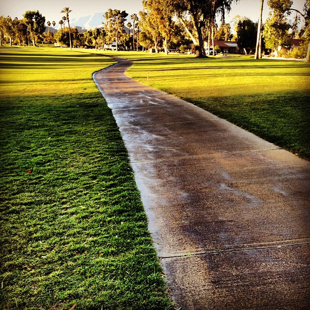
#sidewalk #golfcourse #justwatered
Topographic Map of Avenida Santa Marta, Indio, CA, USA
Find elevation by address:

Places near Avenida Santa Marta, Indio, CA, USA:
80389 Camino Santa Elise
Ullswater Dr, Indio, CA, USA
Monroe St, Indio, CA, USA
Gobi Desert Drive
Duncan Bridge Center
27 Belmonte Dr
29200 Thousand Palms Canyon Rd
34996 Tioga
Interstate 10
38651 Chaparrosa Way
73745 Boca Chica Trail
34100 Gateway Dr
40740 Glenwood Ln
33661 Westchester Dr
9 Chateau Ct
32660 Bloomfield Ave
23225 Tamyran Rd
23225 Tamyram Rd
23225 Tamyram Rd
Dinah Shore Dr, Palm Desert, CA, USA
Recent Searches:
- Elevation of Corso Fratelli Cairoli, 35, Macerata MC, Italy
- Elevation of Tallevast Rd, Sarasota, FL, USA
- Elevation of 4th St E, Sonoma, CA, USA
- Elevation of Black Hollow Rd, Pennsdale, PA, USA
- Elevation of Oakland Ave, Williamsport, PA, USA
- Elevation of Pedrógão Grande, Portugal
- Elevation of Klee Dr, Martinsburg, WV, USA
- Elevation of Via Roma, Pieranica CR, Italy
- Elevation of Tavkvetili Mountain, Georgia
- Elevation of Hartfords Bluff Cir, Mt Pleasant, SC, USA