Elevation of Ave, Visalia, CA, USA
Location: United States > California > Tulare County > Visalia >
Longitude: -119.28488
Latitude: 36.427737
Elevation: 100m / 328feet
Barometric Pressure: 100KPa
Elevation Map:
Satellite Map:
Related Photos:
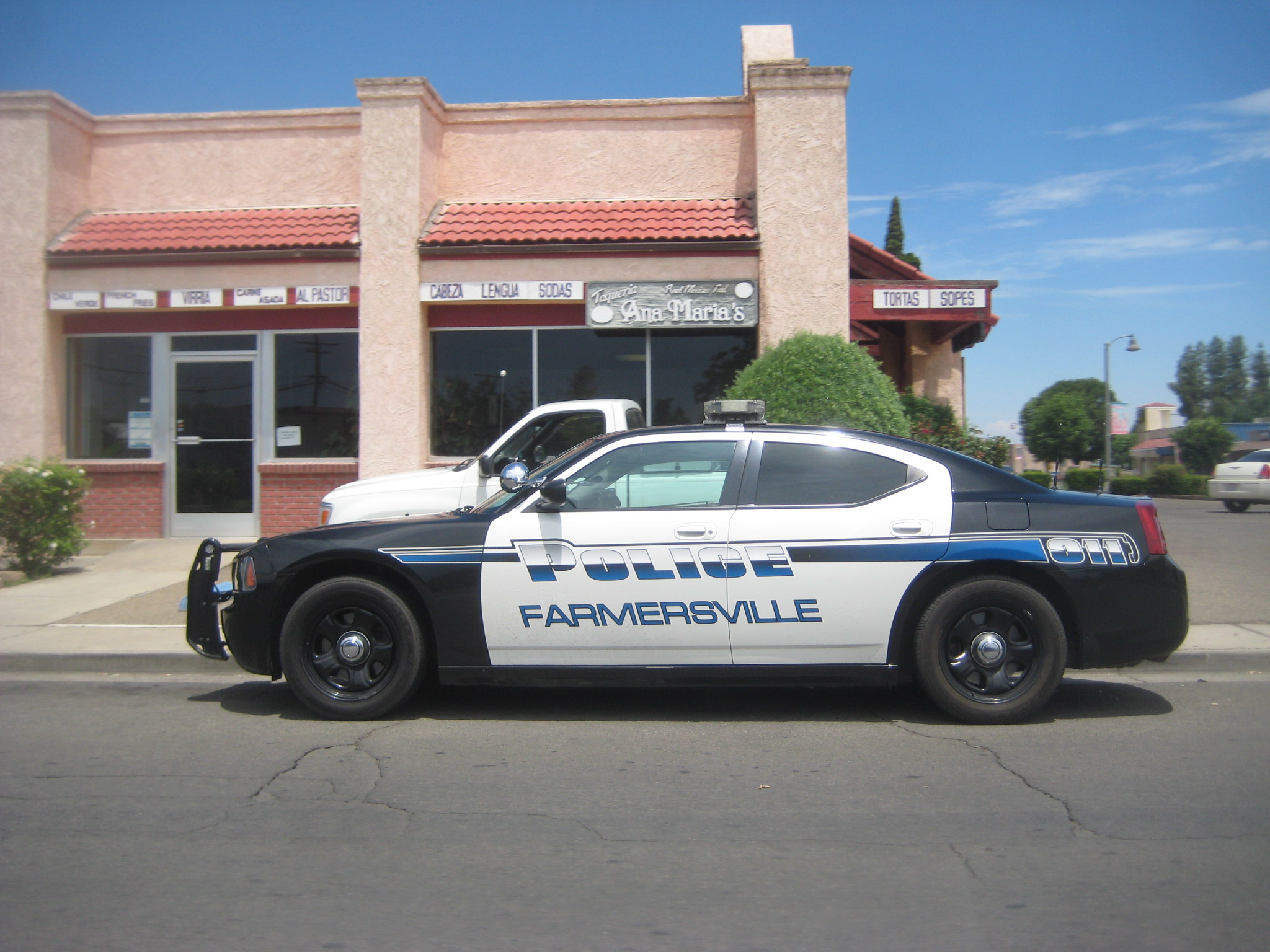
does farmersville really need this??

boeing b-17g flying fortress

boeing b-17g flying fortress
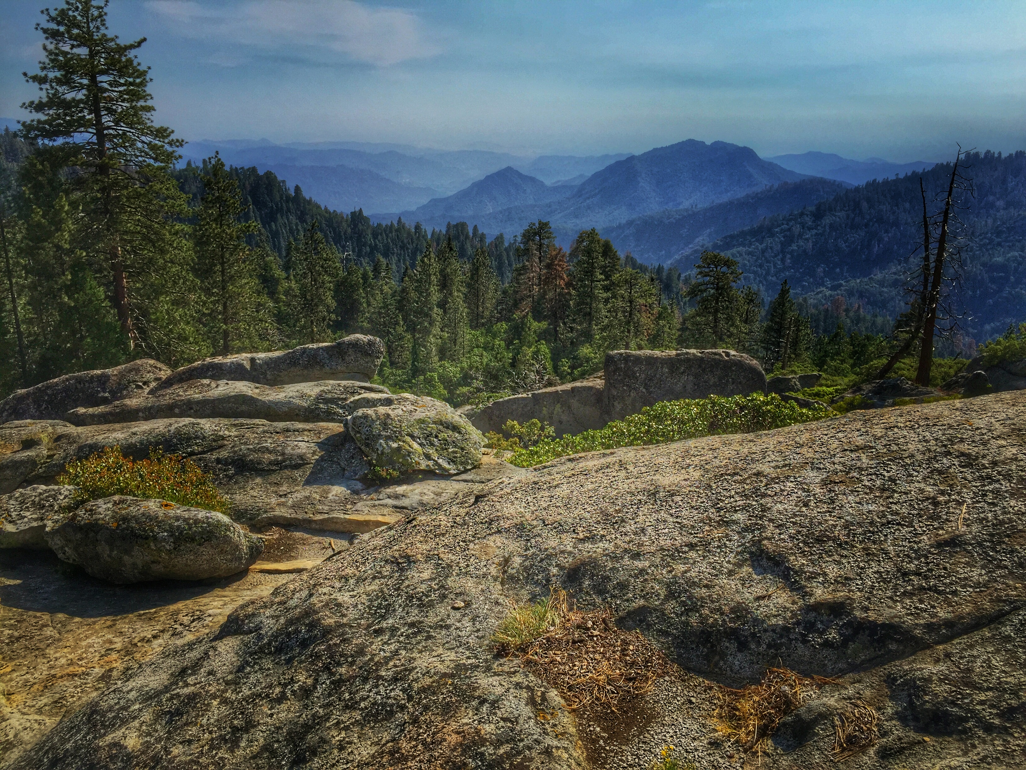
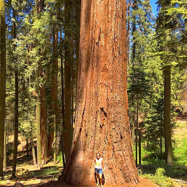
Beetle Rock view, Sequoia National Park.
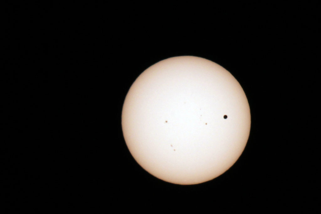
Transit of Venus Take 1
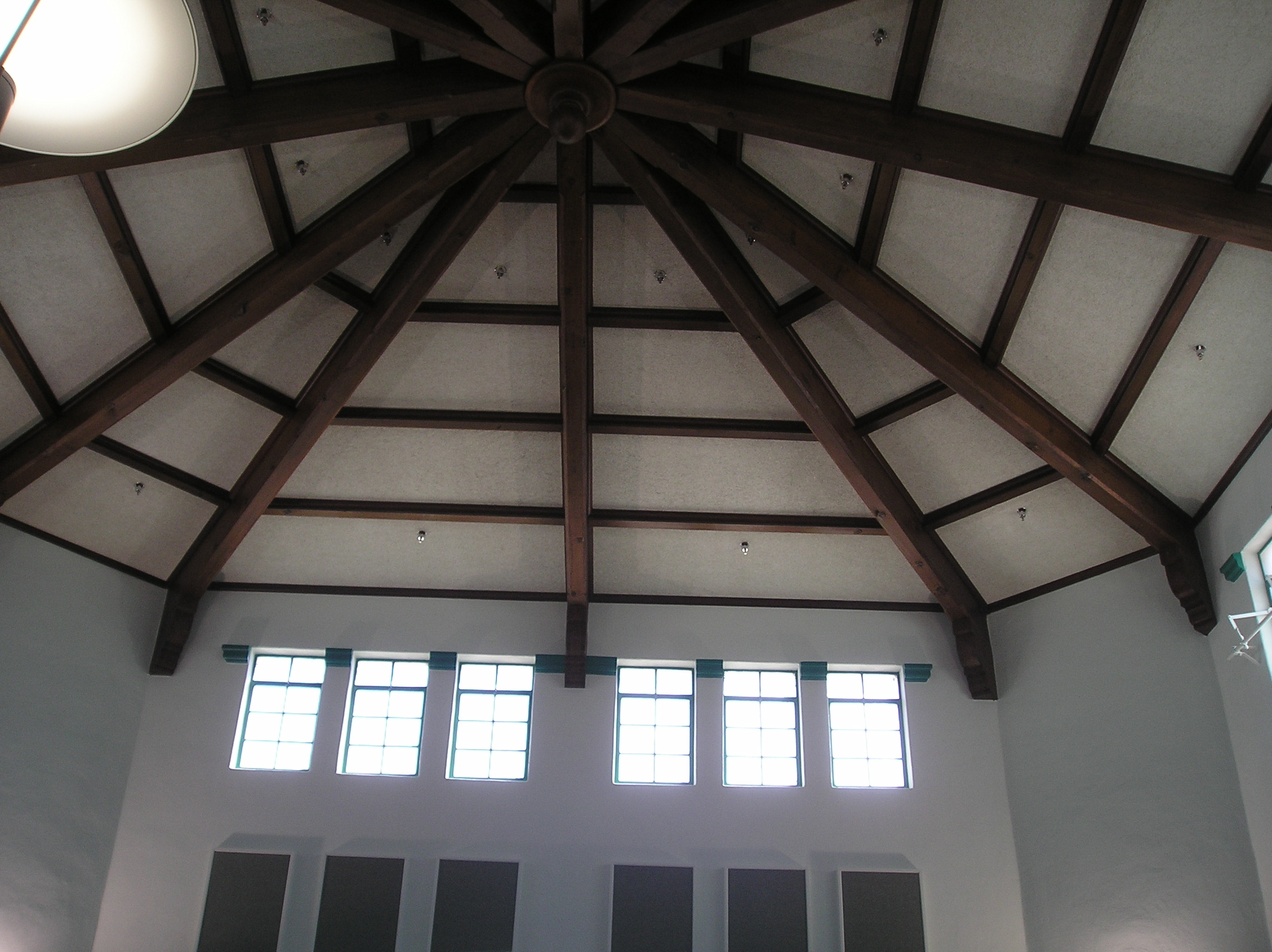
Roof view at the Visalia library
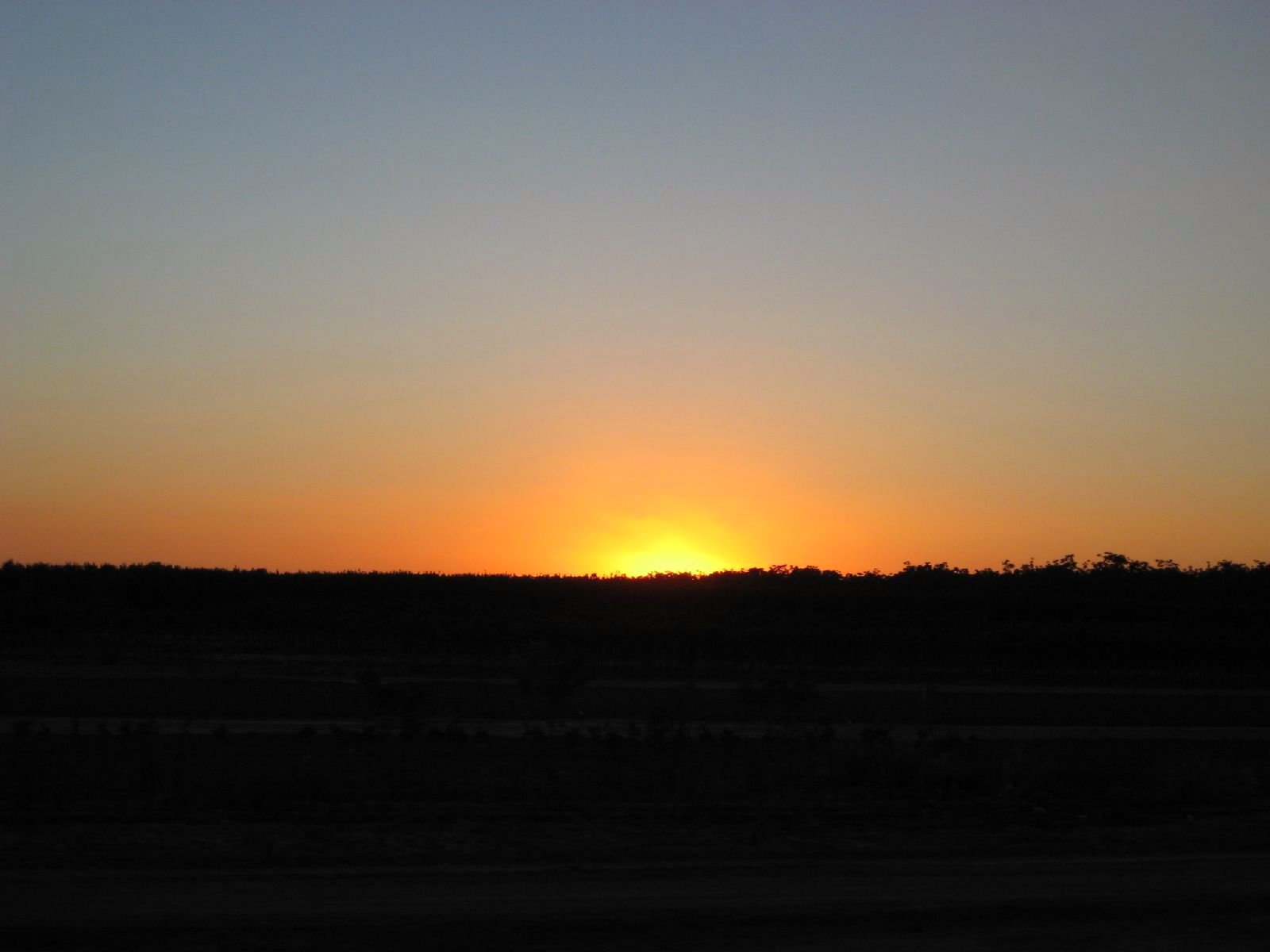
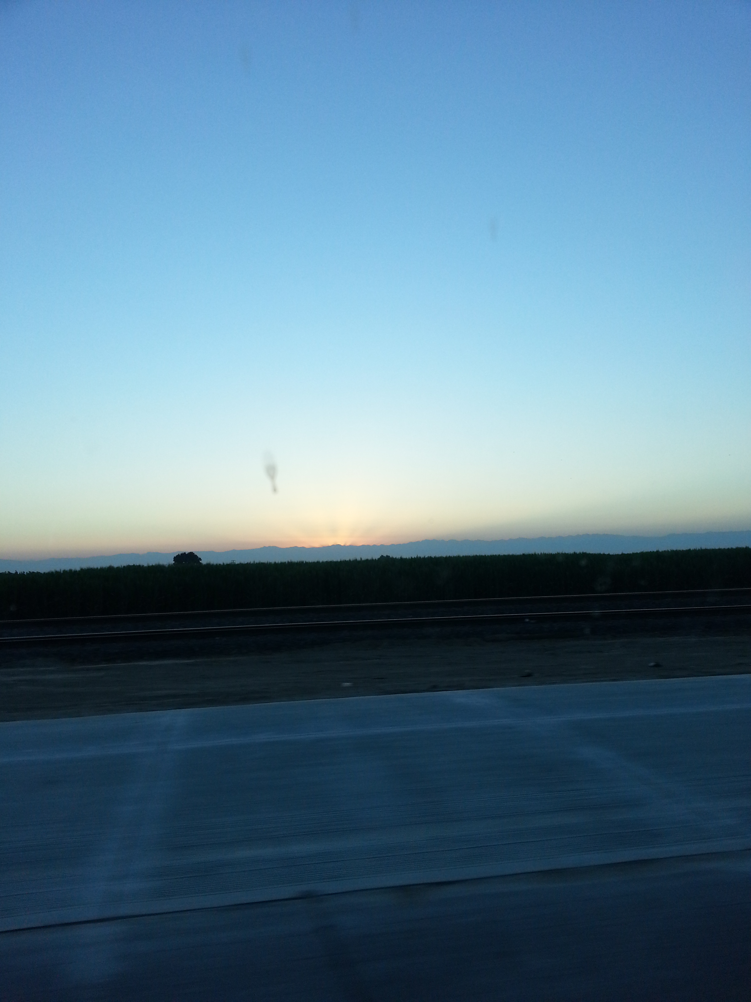
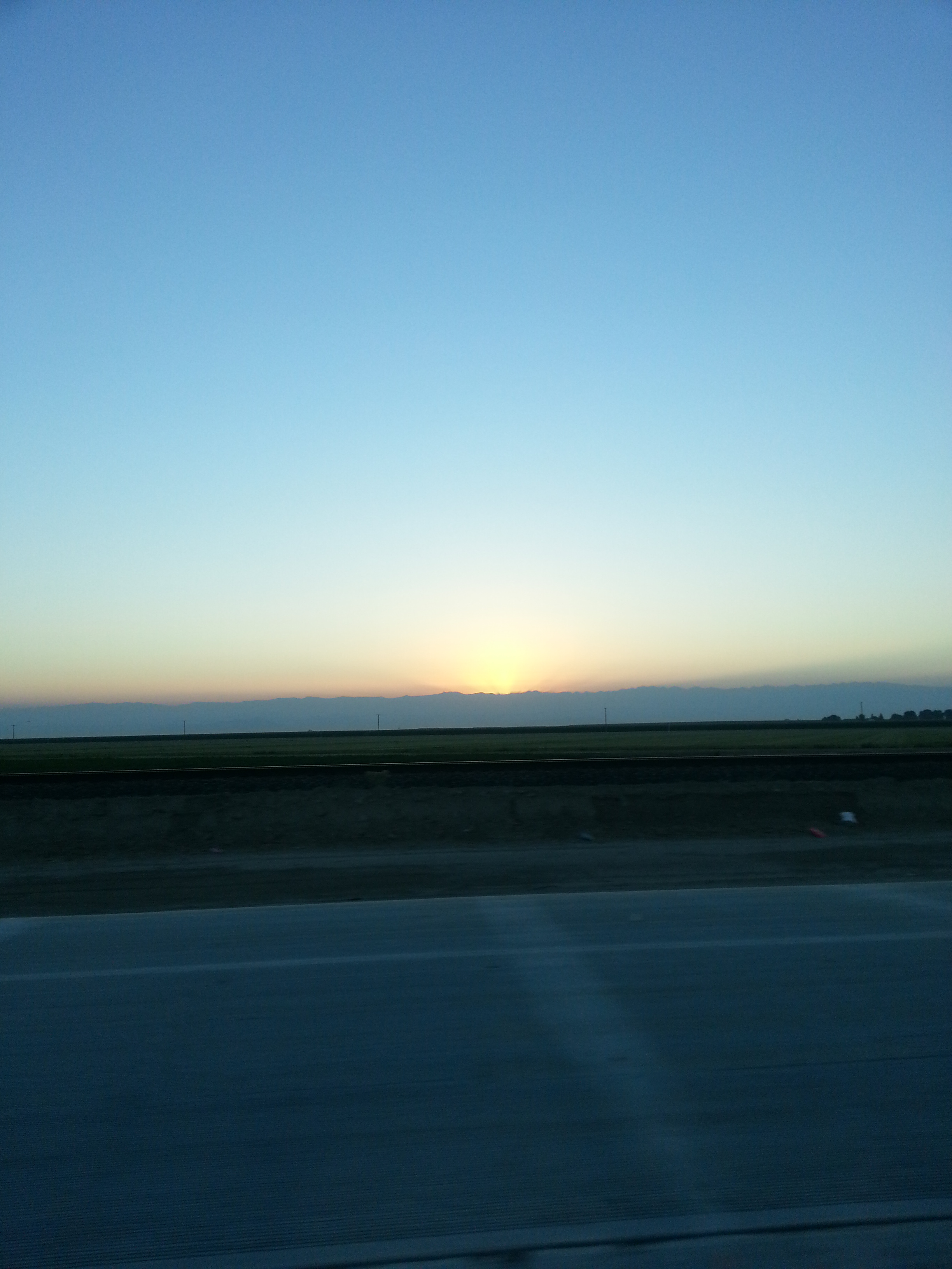
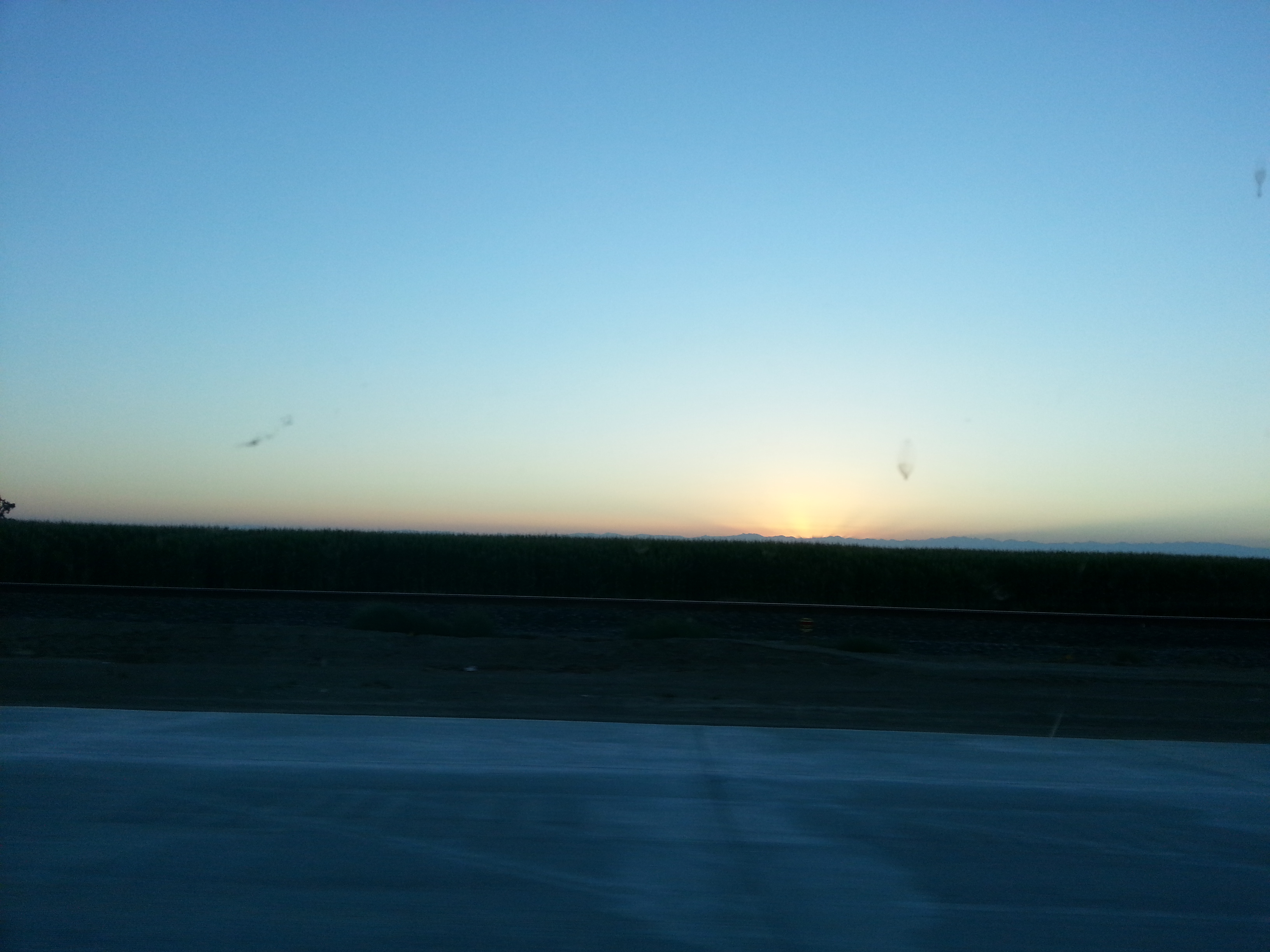
Valley Sunset
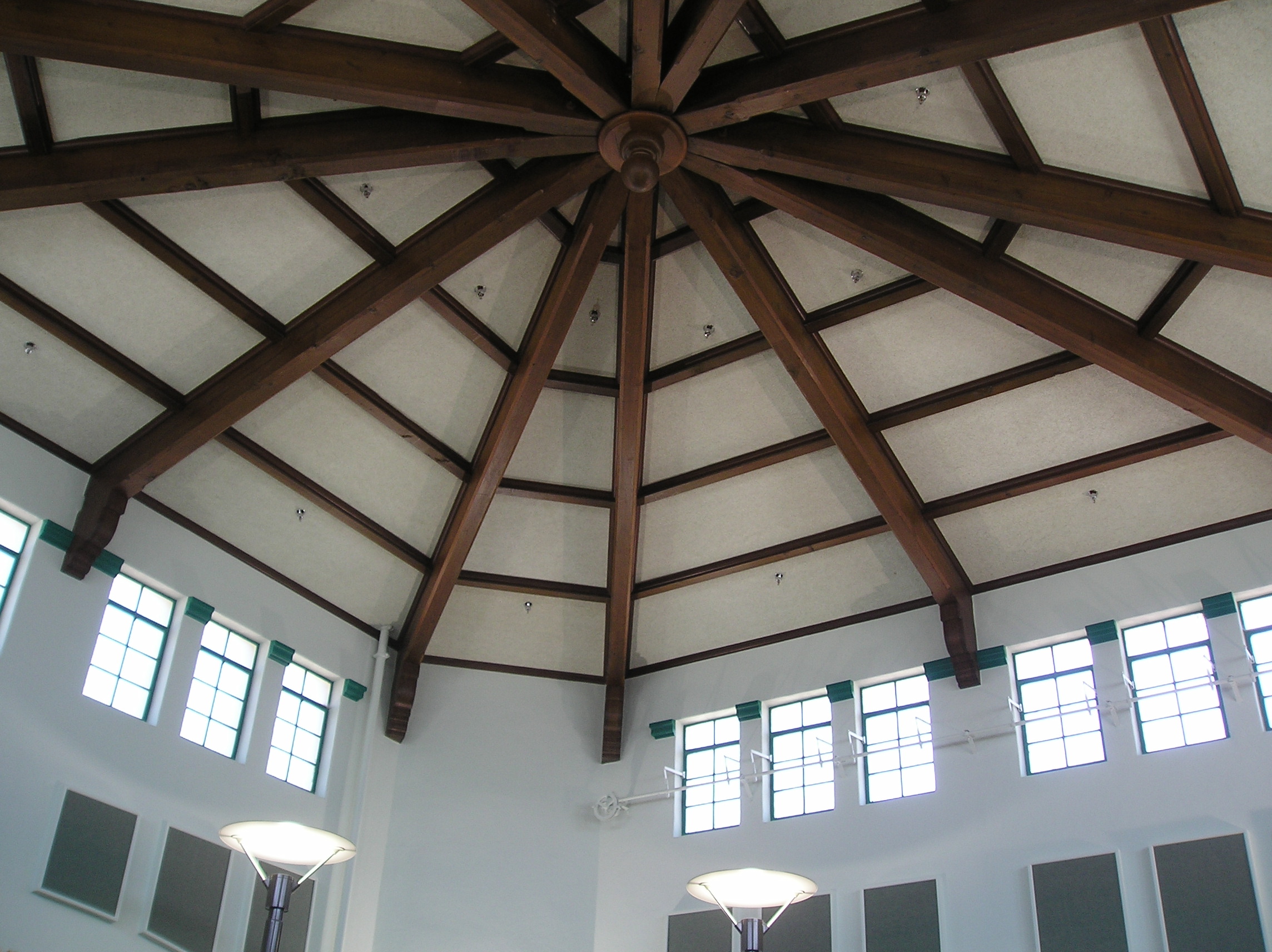
Roof view, Visalia library

7D2_8624 crop COKI-eBird.org bottom_545x812

7D2_8625 crop COKI-eBird.org bottom_922x623
ValleyEx (277)

7D2_8628 crop COKI-eBird.org bottom_741x488

7D2_8632 crop COKI-eBird.org bottom_709x480
Mini Family Reunion Cat Nap

black spot in Google Earth Street View
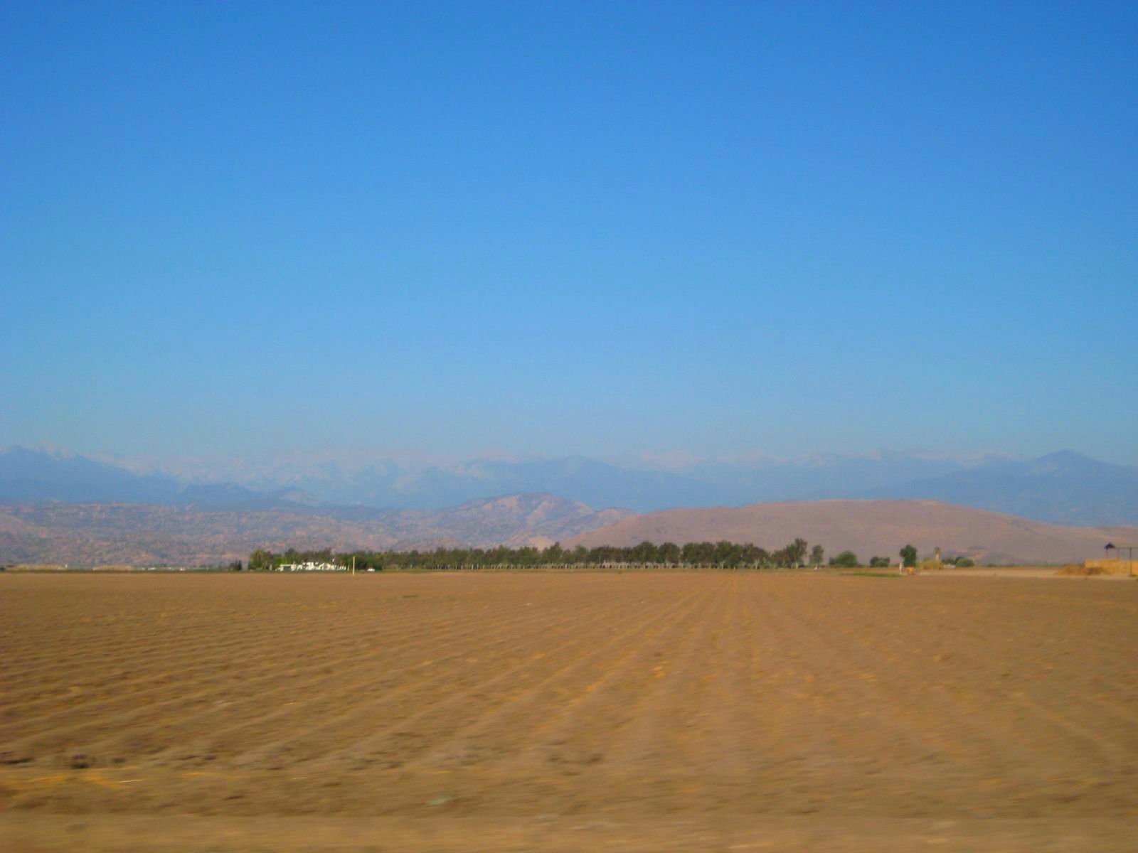
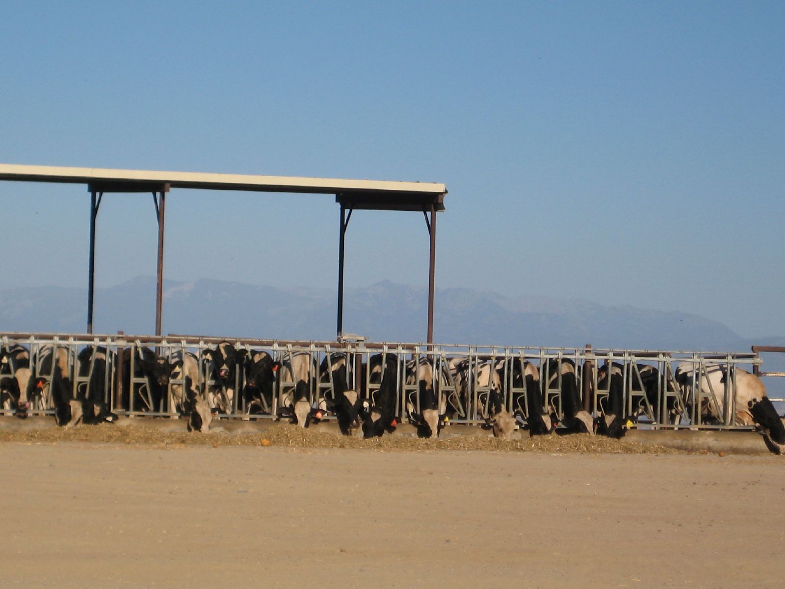
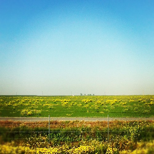
farmland to the mountains
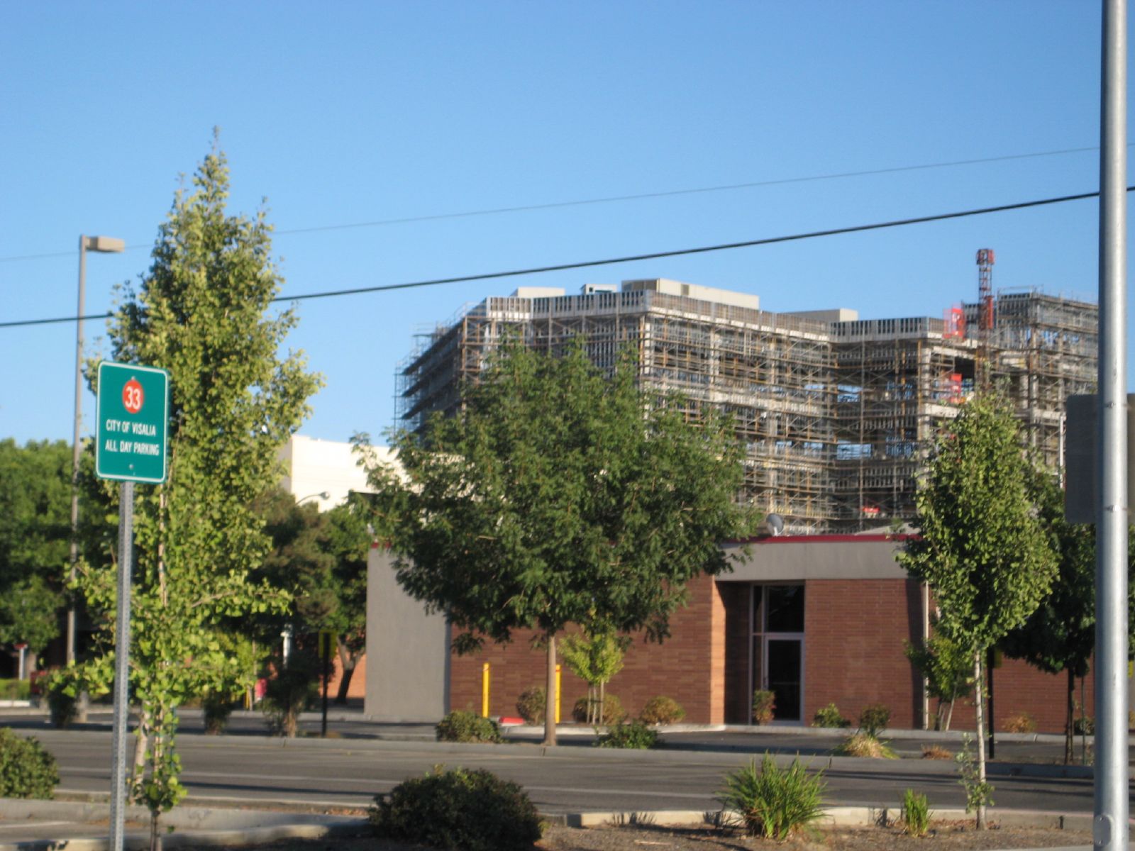
kaweah delta construction

ValleyEx (297)
ValleyEx (287)

A View of 6 lane Construction and Westbound California 198
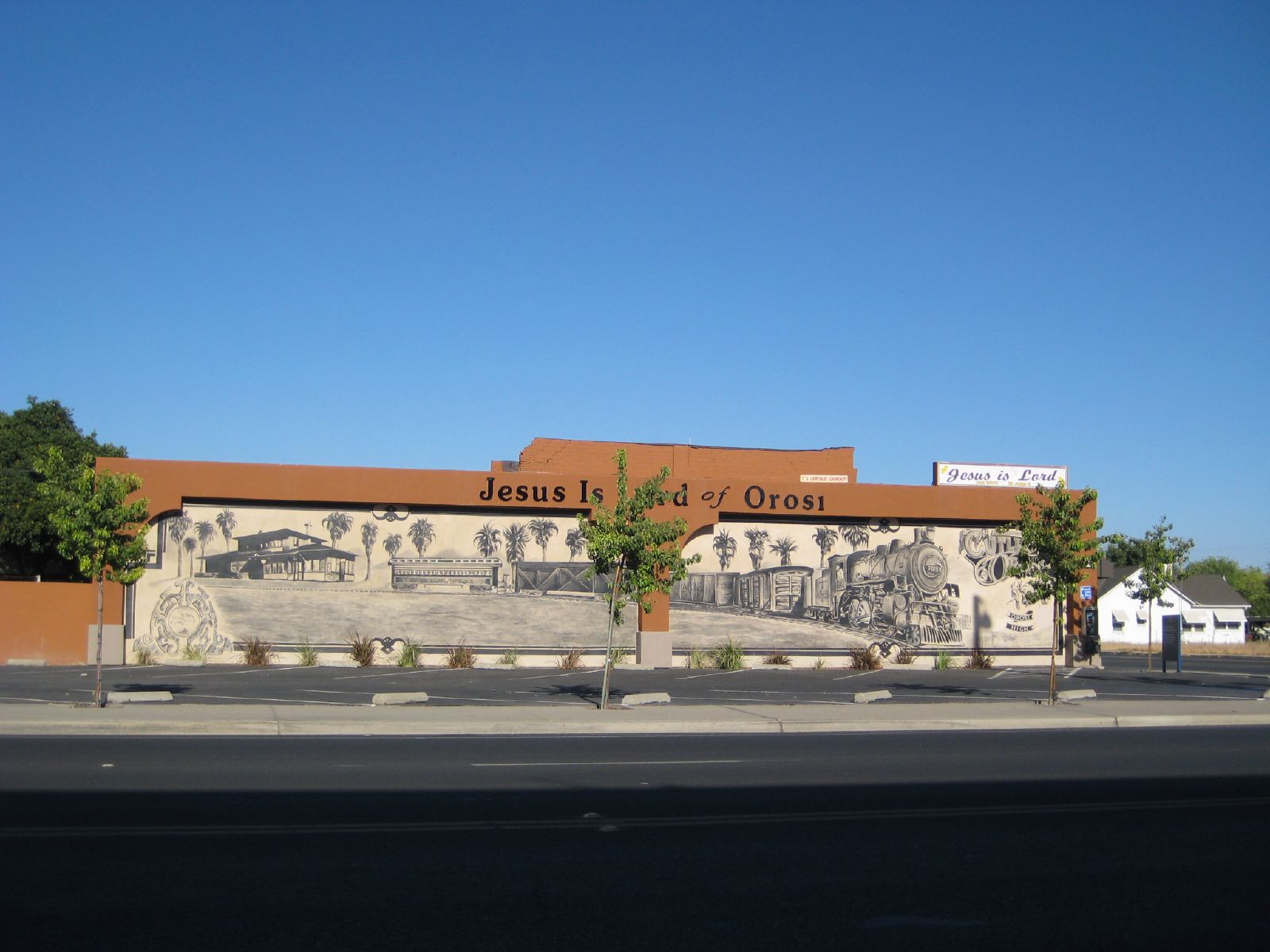
railroad mural

in Salem
Goshen, Ca

#superfiltered swirlies and soft straight lines.

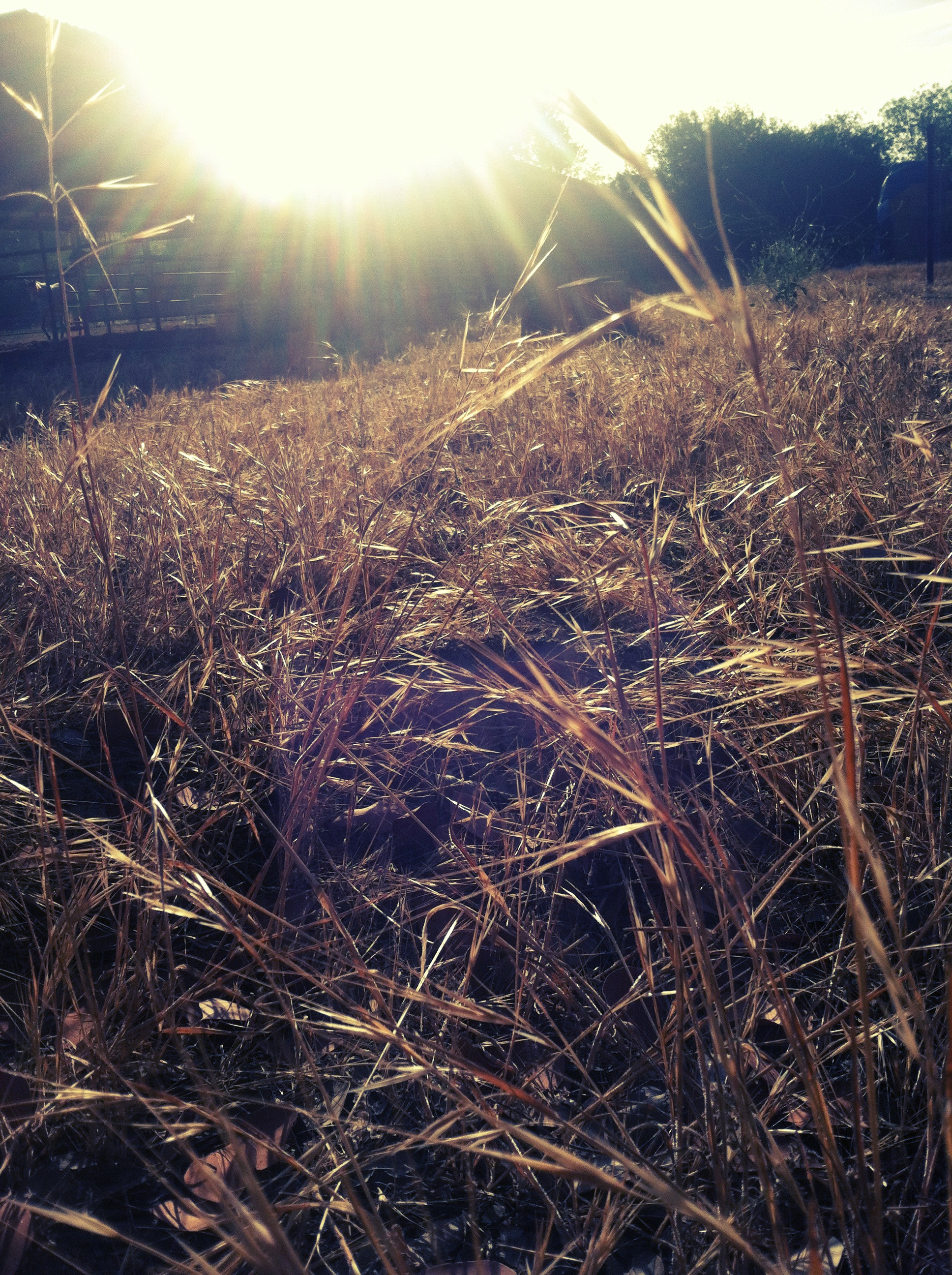
Golden Yellow
Sentinel has Yami's back...
2013-08-06 06.18.21
2013-08-06 06.19.28
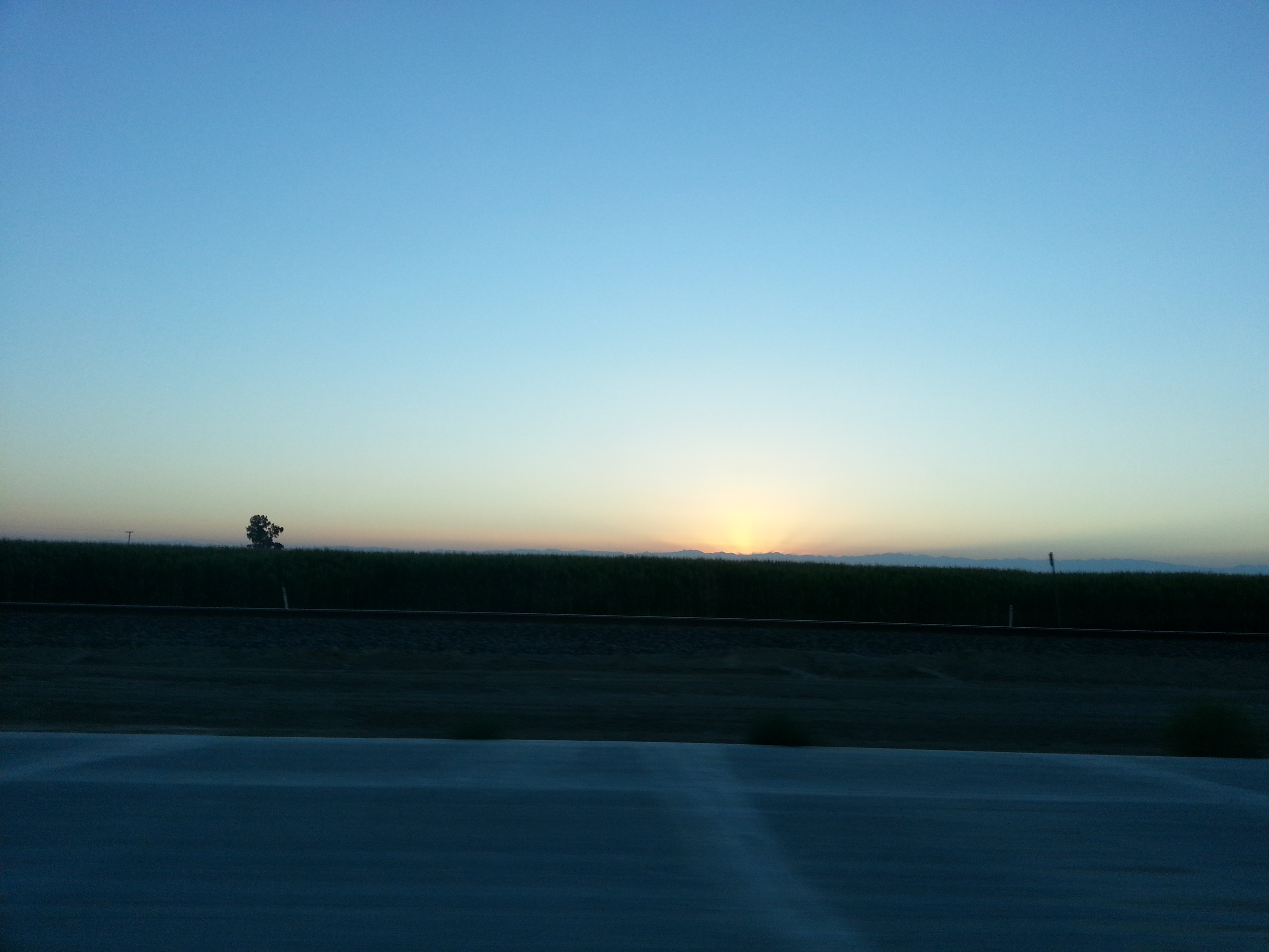
2013-08-06 06.19.15
Dramatic Light

Vintage; All The Cool Kids Are Doin' It
2013-08-06 06.19.10

Red Sky

Hello Mr.Bumble Bee
*День пятнадцатый. 4566 км. Пять часов по серпантину без навигатора, чтобы вернуться туда, откуда начали, но уже с пустым баком. А что, зато виды красивые
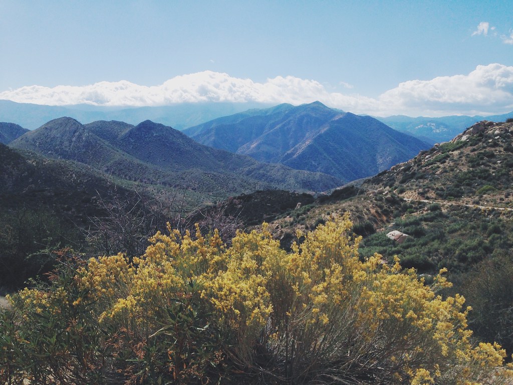
Small Mountains
The original
2013-08-06 06.19.04

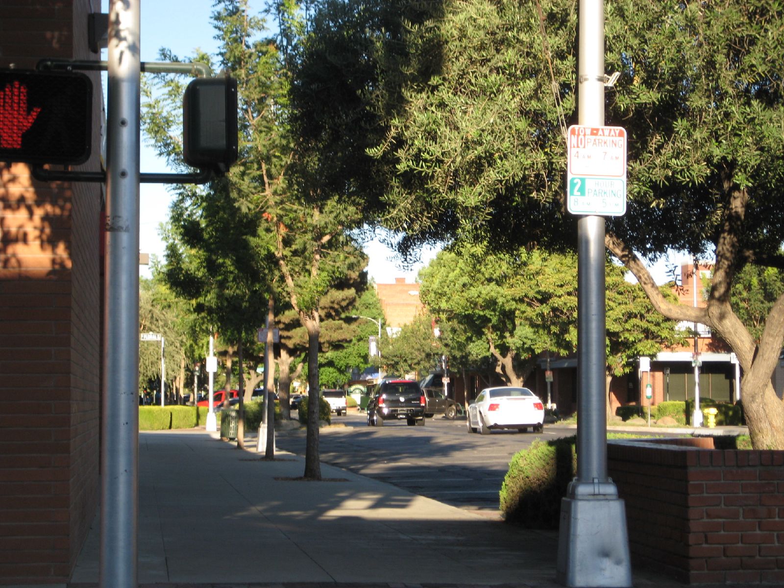
Downtown Visalia
Topographic Map of Ave, Visalia, CA, USA
Find elevation by address:

Places near Ave, Visalia, CA, USA:
Ave, Visalia, CA, USA
Rd, Cutler, CA, USA
Yettem
Avenue, Visalia, CA, USA
Ivanhoe
Rd, Ivanhoe, CA, USA
Ave, Dinuba, CA, USA
Avenue, Visalia, CA, USA
Ave, Cutler, CA, USA
Cutler
Orosi
Avenue, Orosi, CA, USA
Avenue, Dinuba, CA, USA
Sultana
Dinuba
E Nebraska Ave, Dinuba, CA, USA
Kate Rd, Dinuba, CA, USA
Ave, Dinuba, CA, USA
Rd 68, Dinuba, CA, USA
Traver
Recent Searches:
- Elevation of Corso Fratelli Cairoli, 35, Macerata MC, Italy
- Elevation of Tallevast Rd, Sarasota, FL, USA
- Elevation of 4th St E, Sonoma, CA, USA
- Elevation of Black Hollow Rd, Pennsdale, PA, USA
- Elevation of Oakland Ave, Williamsport, PA, USA
- Elevation of Pedrógão Grande, Portugal
- Elevation of Klee Dr, Martinsburg, WV, USA
- Elevation of Via Roma, Pieranica CR, Italy
- Elevation of Tavkvetili Mountain, Georgia
- Elevation of Hartfords Bluff Cir, Mt Pleasant, SC, USA