Elevation of Ashburton, New Zealand
Location: New Zealand > Canterbury >
Longitude: 171.7485672
Latitude: -43.9083813
Elevation: 92m / 302feet
Barometric Pressure: 0KPa
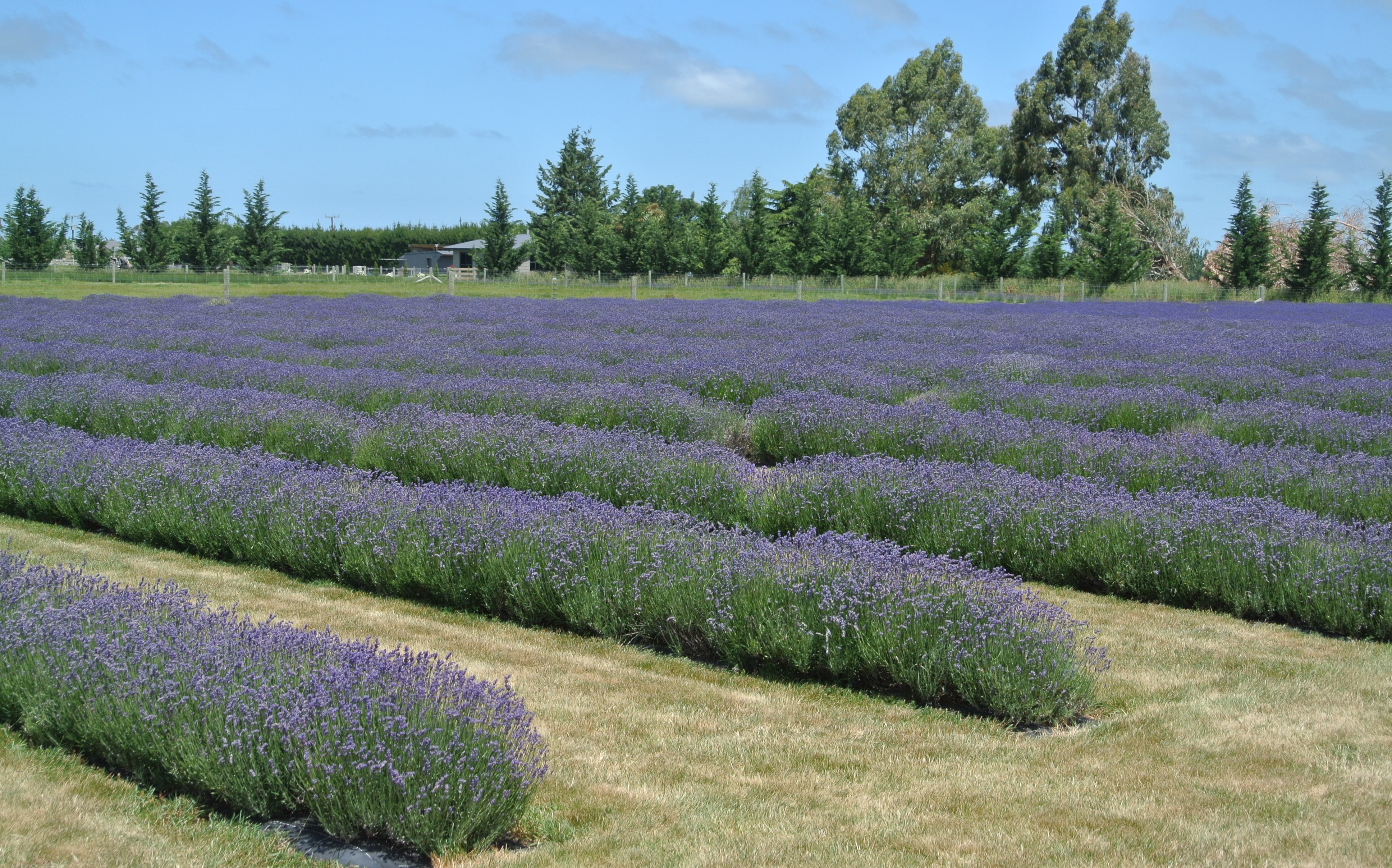
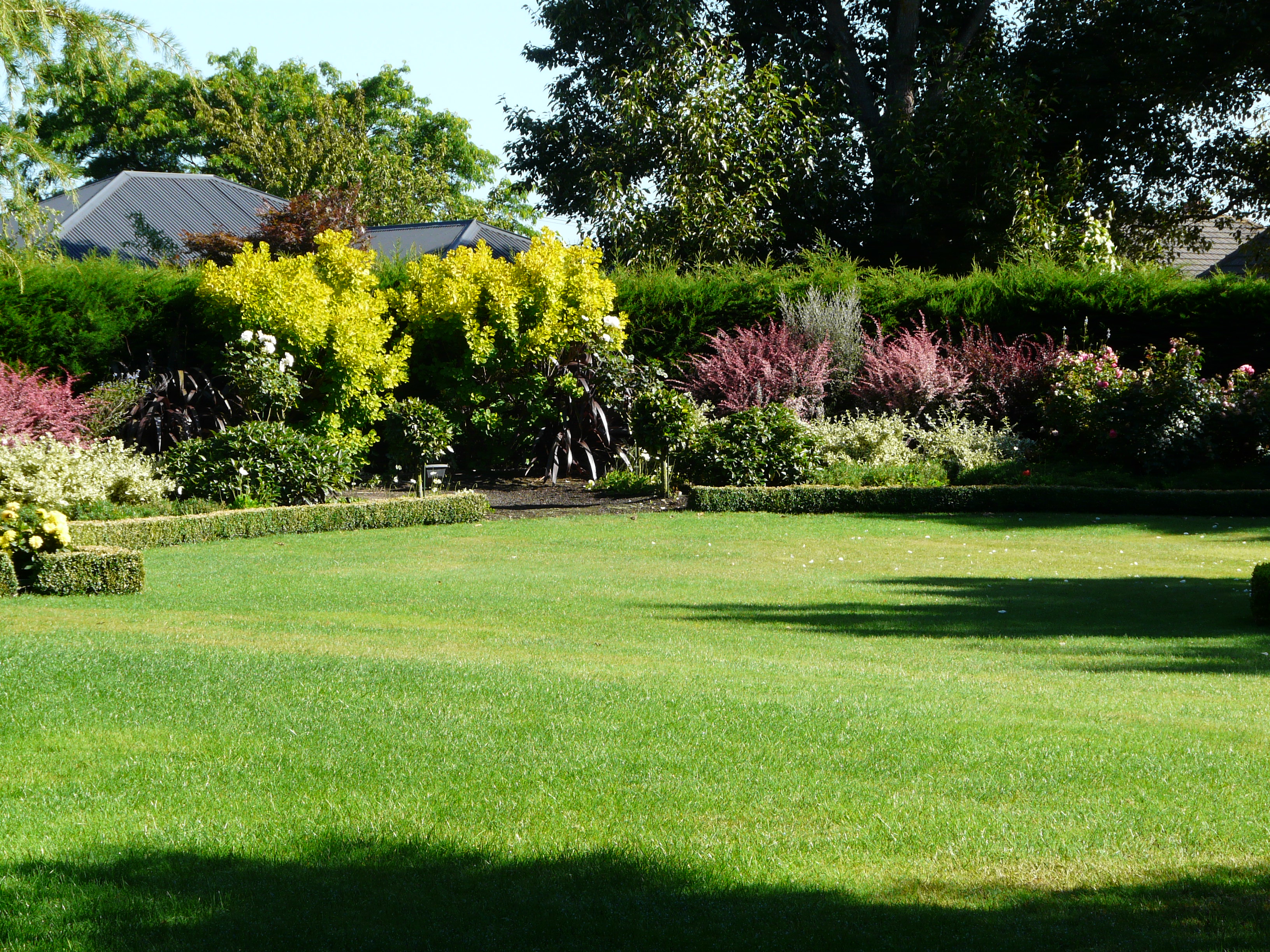
Related Photos:
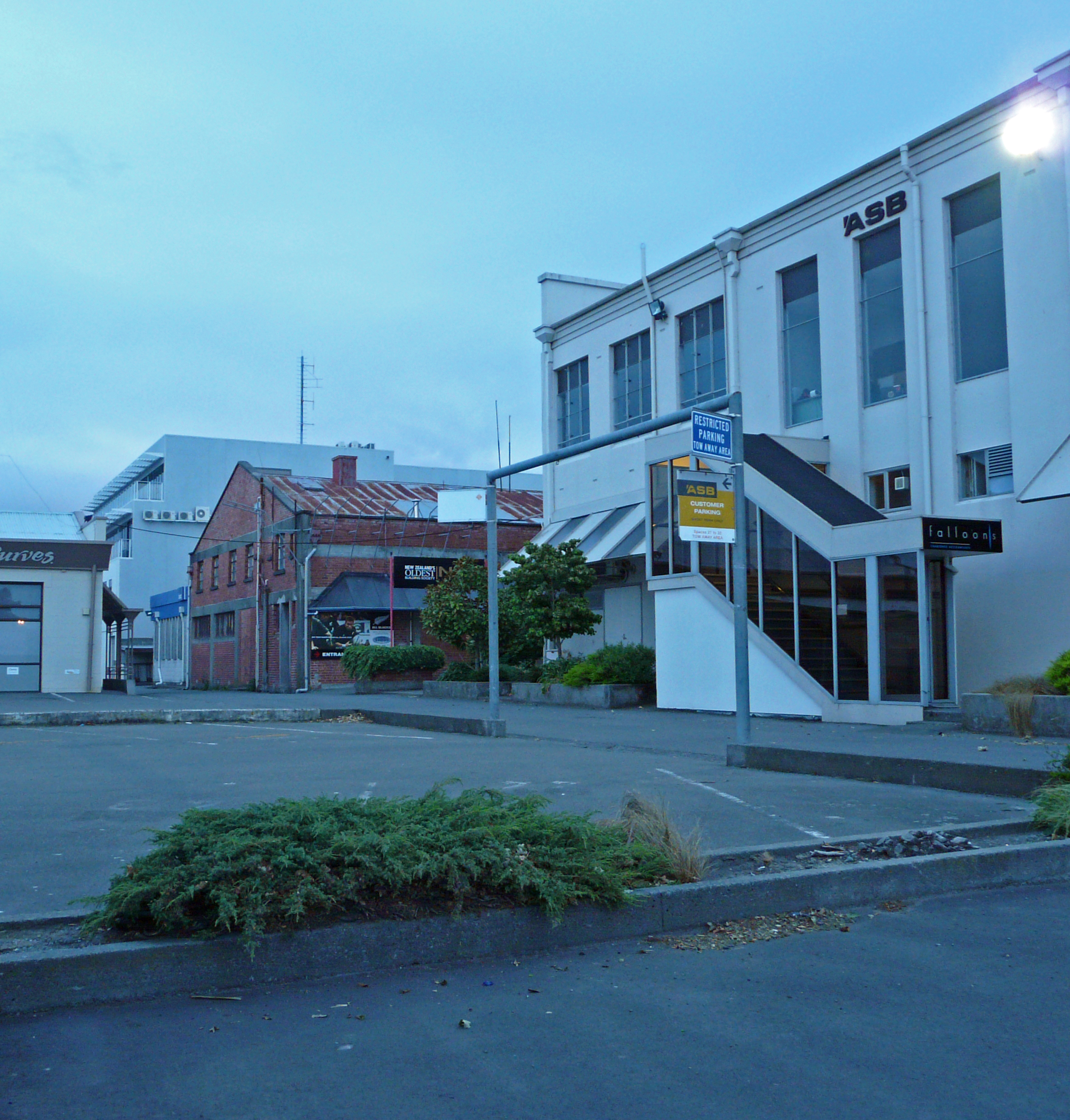
Parking, Wellington St., Ashburton, New Zealand P1240252
Straight out of the Wild West
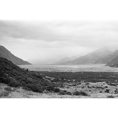
Another long-lost photo from my first trip to New Zealand in 2012. This is the view looking out over the valley from the wall up to Tasman Glacier lake. Minolta SRT-303B | 50mm f/1.4 | ILFORD HP5+ #NZ #NewZealand #NZMustDo #SouthIsland #MountCook #Mount
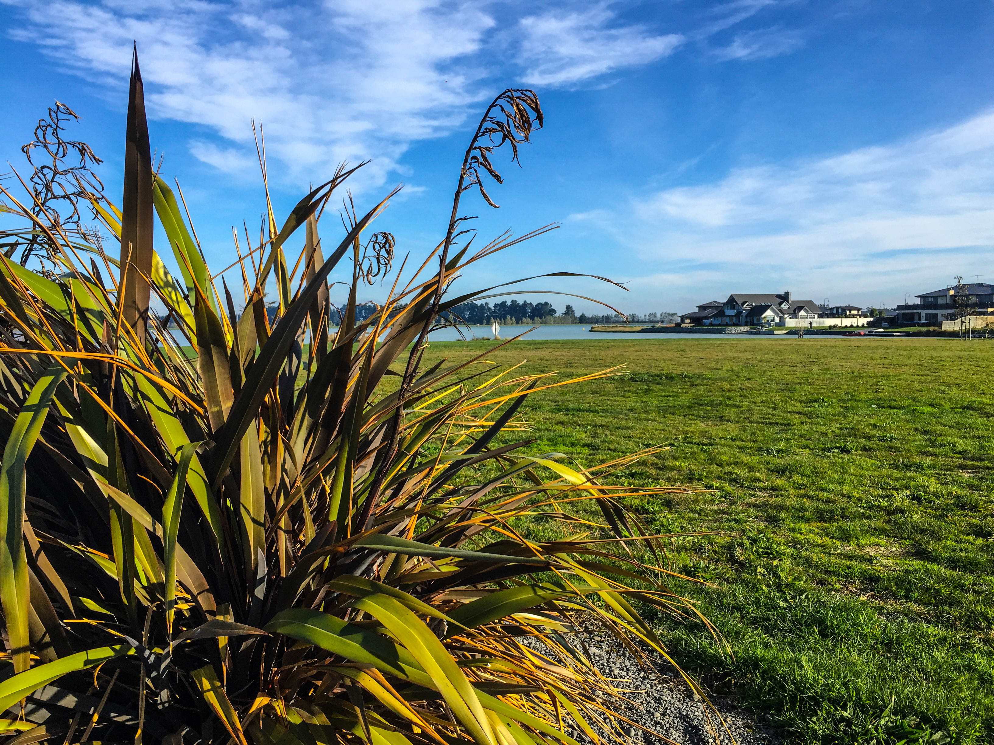
Lake Hood
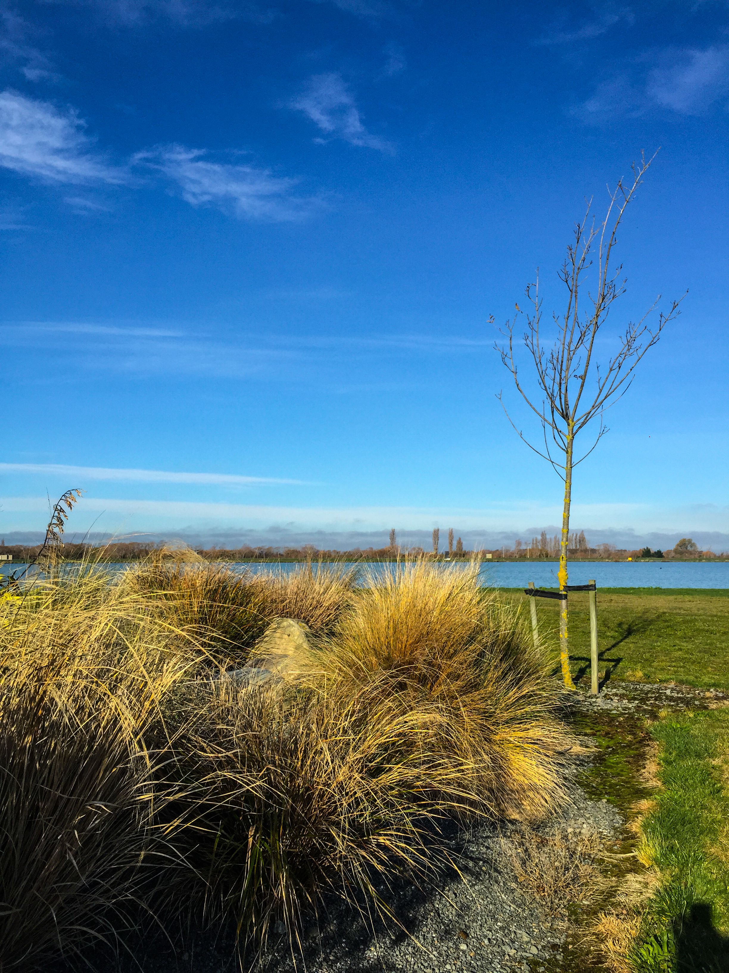
Lake Hood
Lake Hood
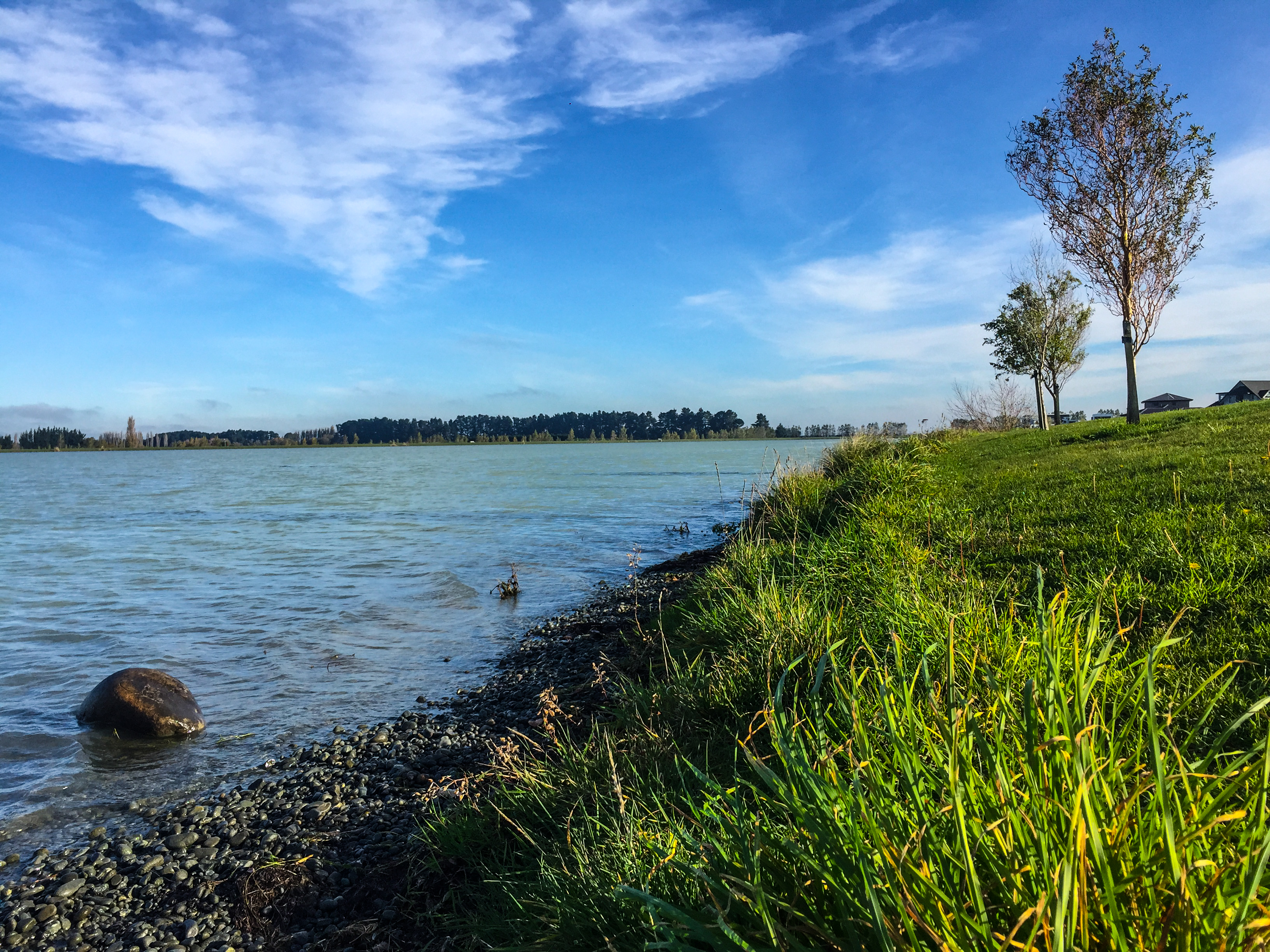
Lake Hood
Lake Hood
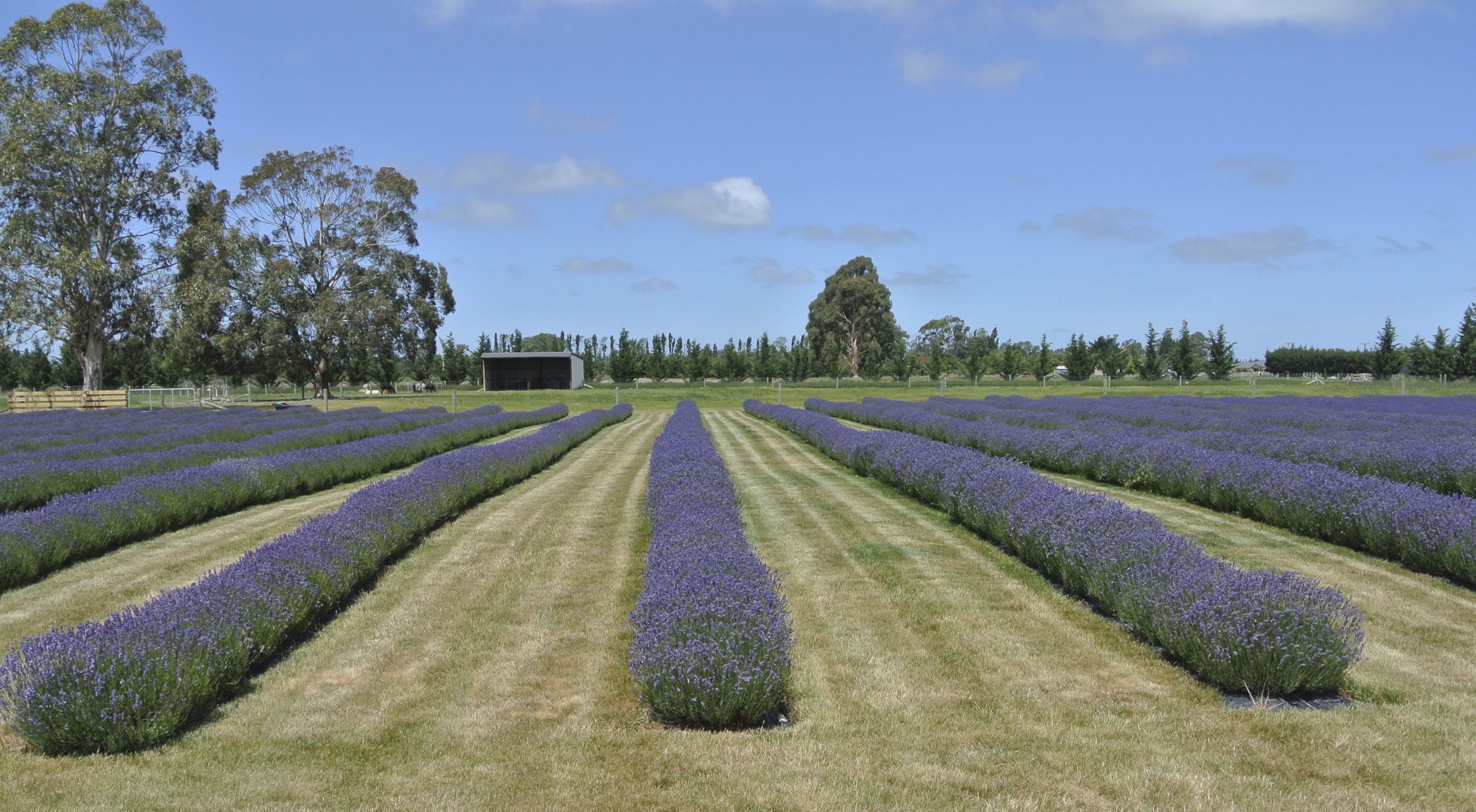
131201 Farmers Corner in Ashburton
Kålmark
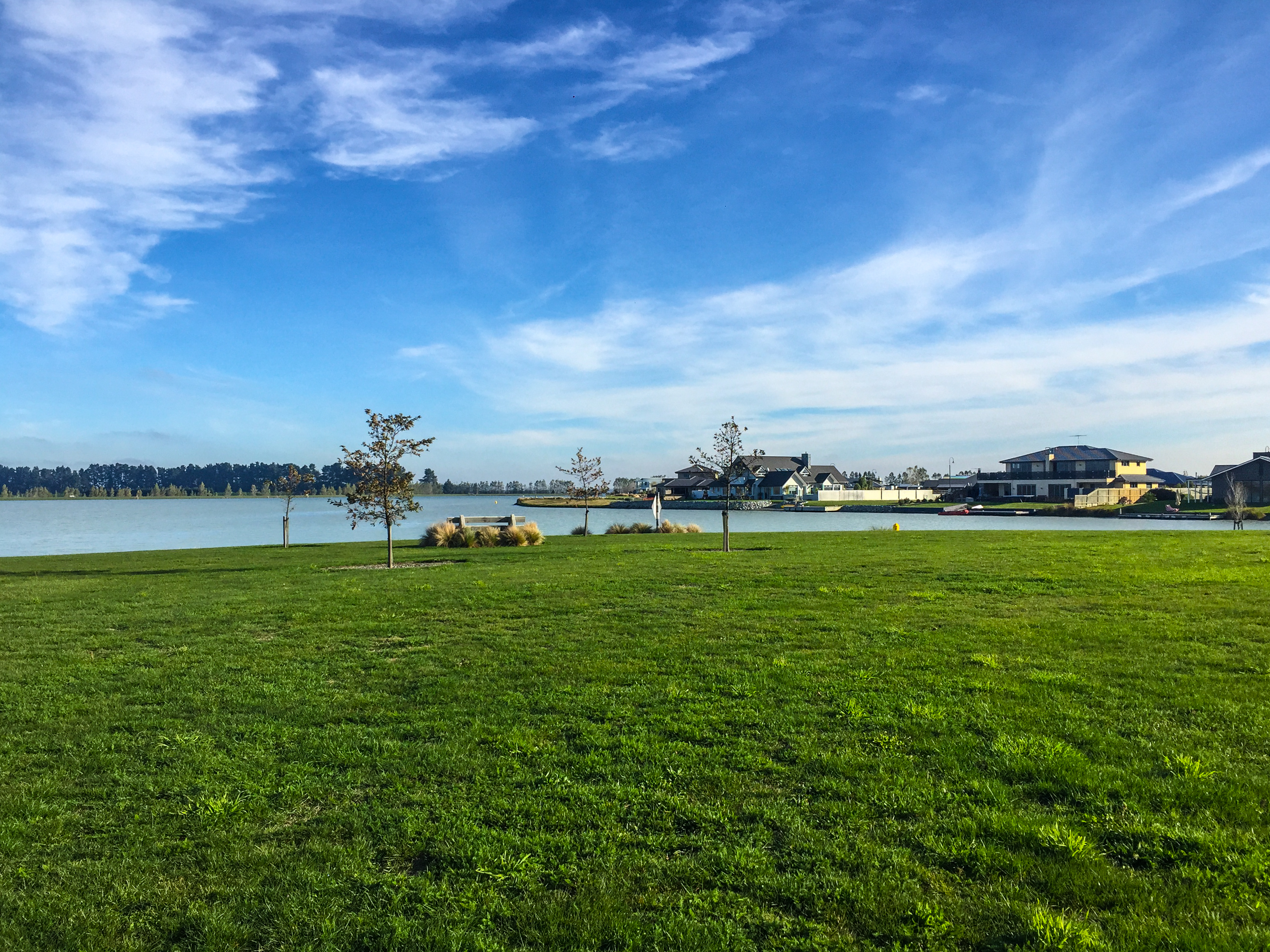
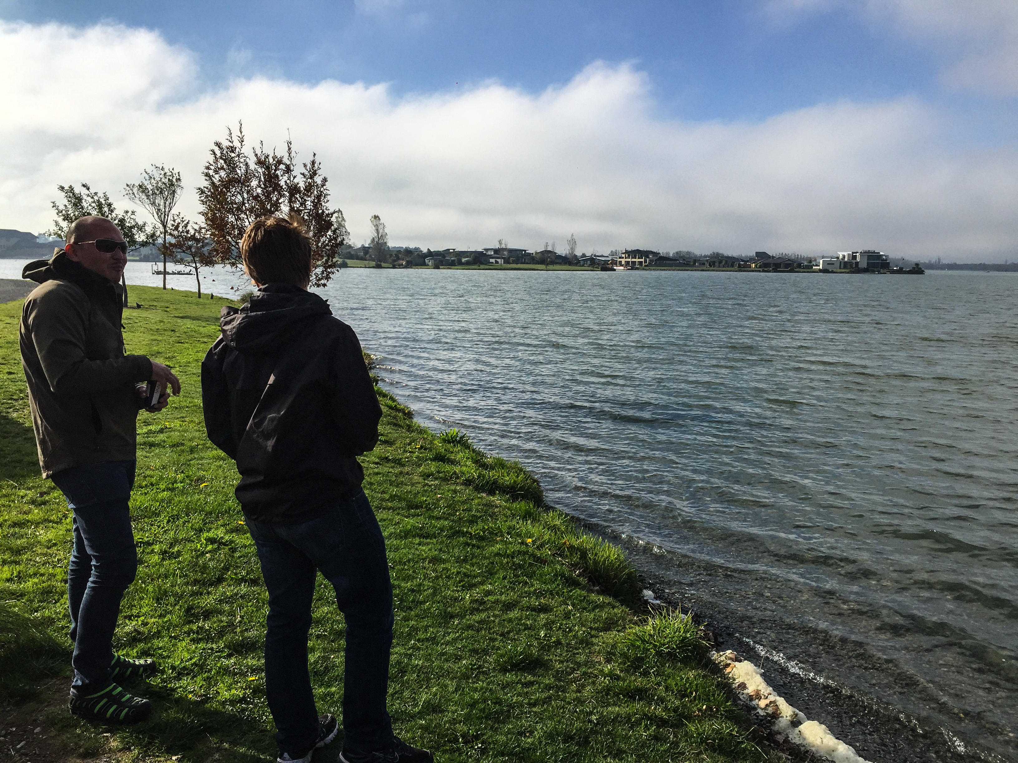
Lake Hood
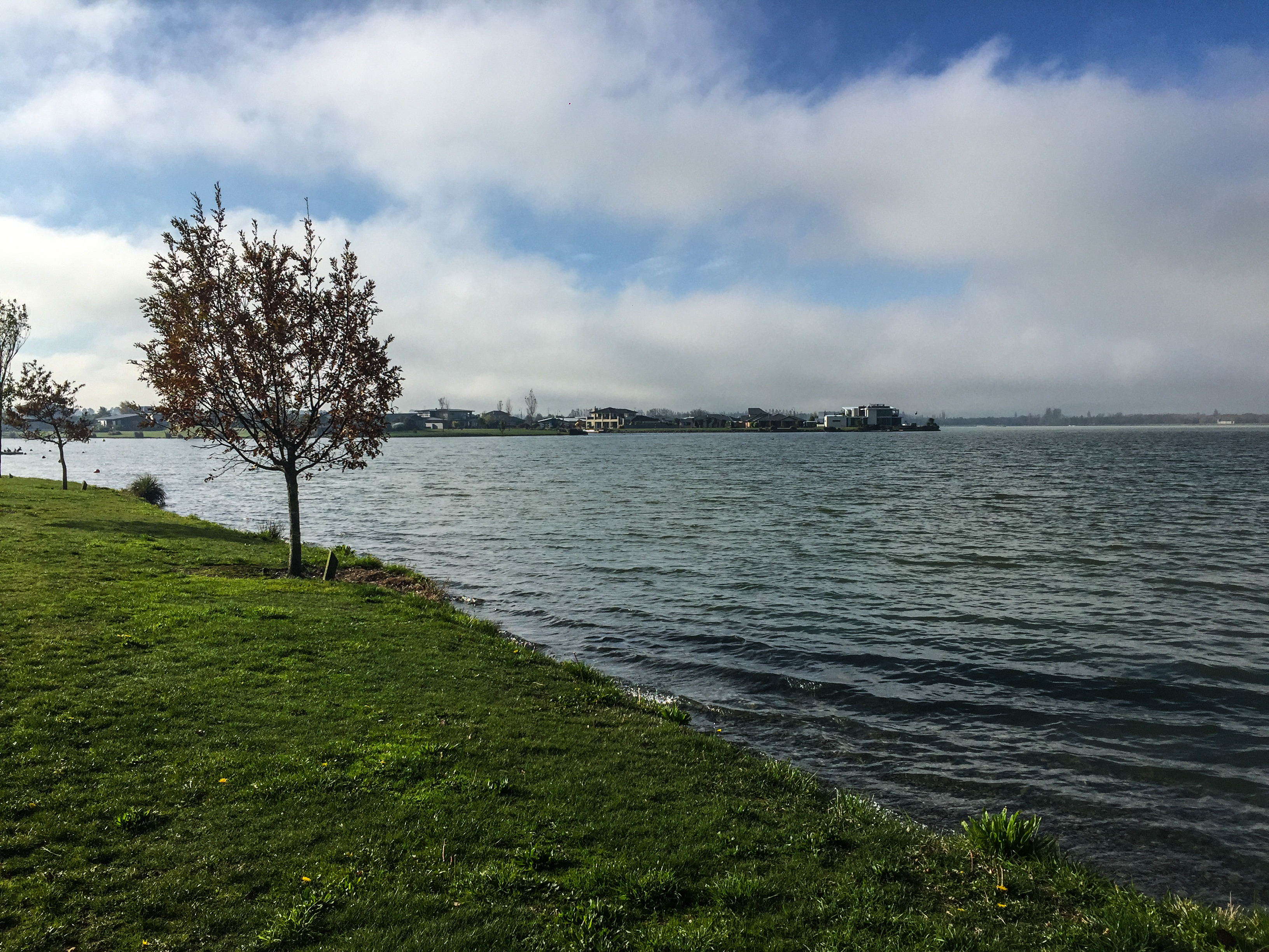
Lake Hood
131201 Farmers Corner in Ashburton
Hotel Ashburton, Ashburton, New Zealand P1240307
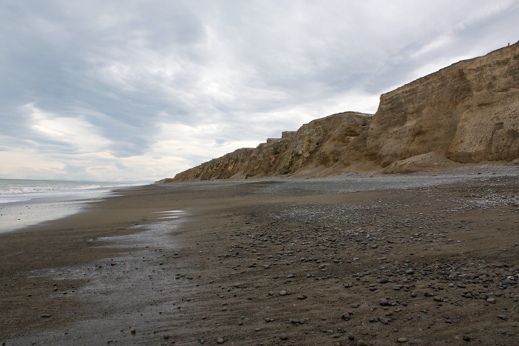
Wakanui Beach
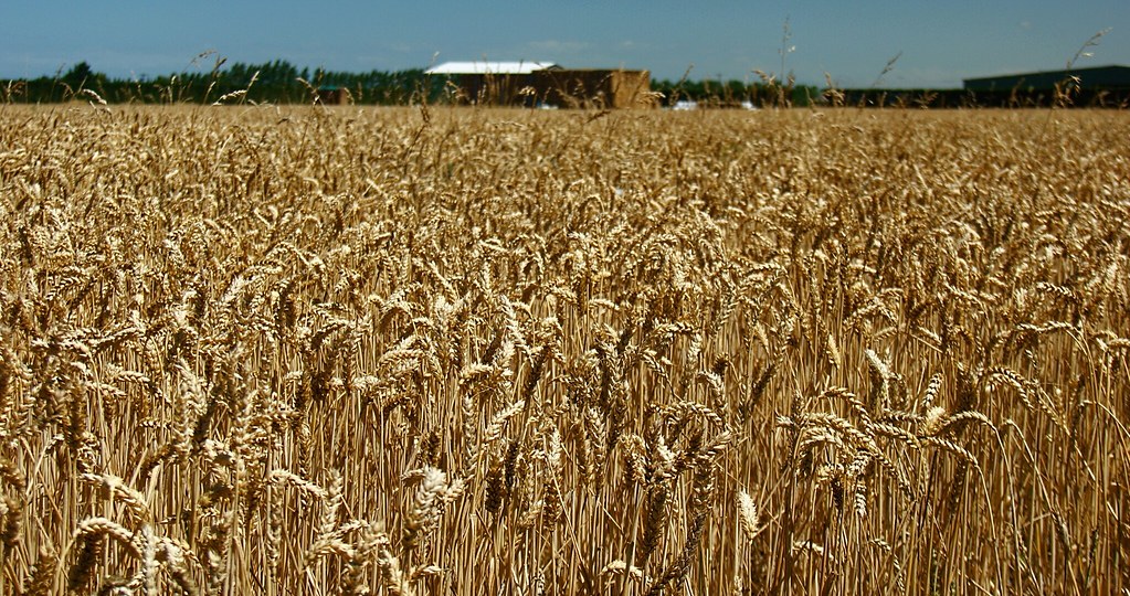
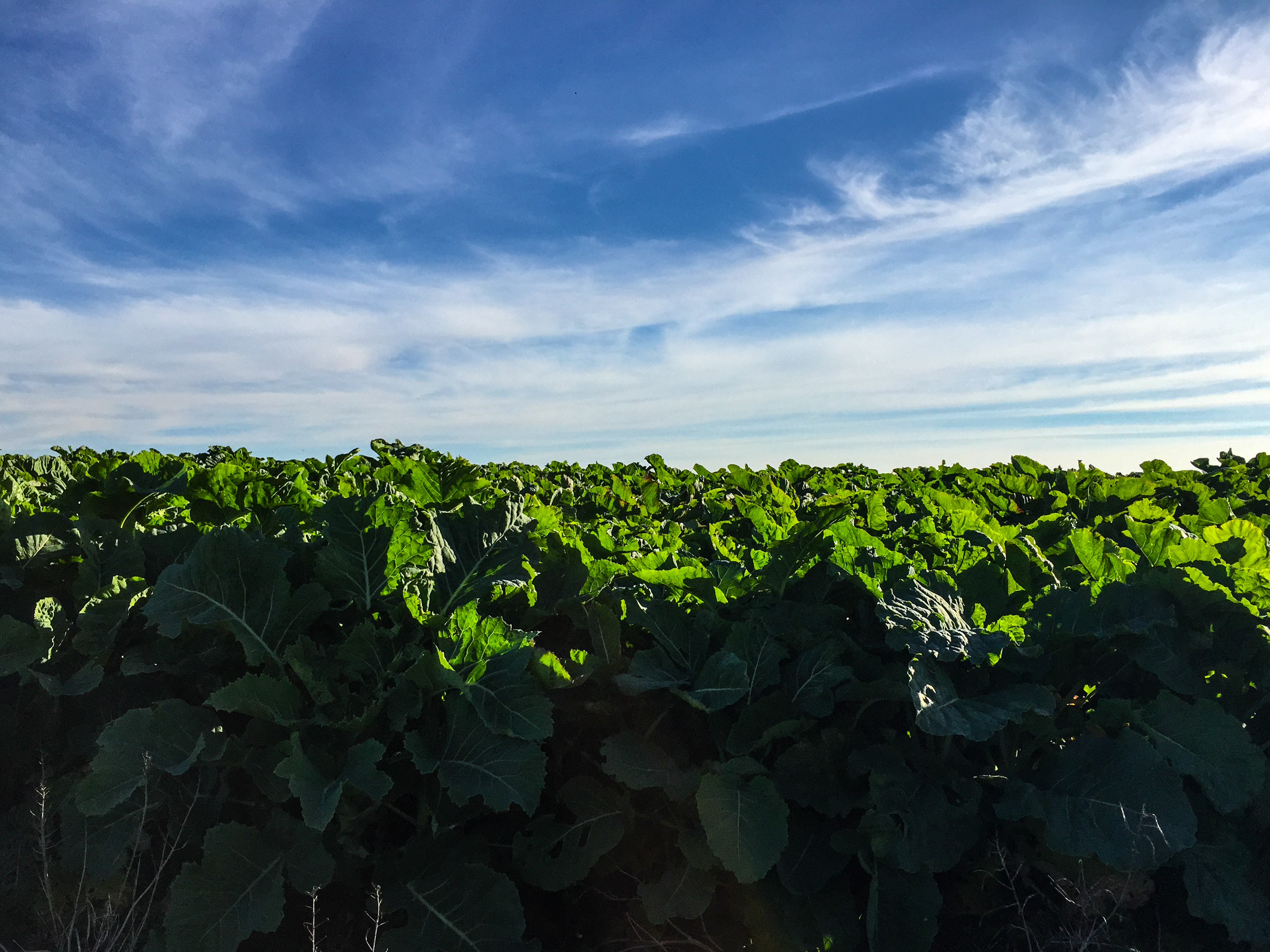
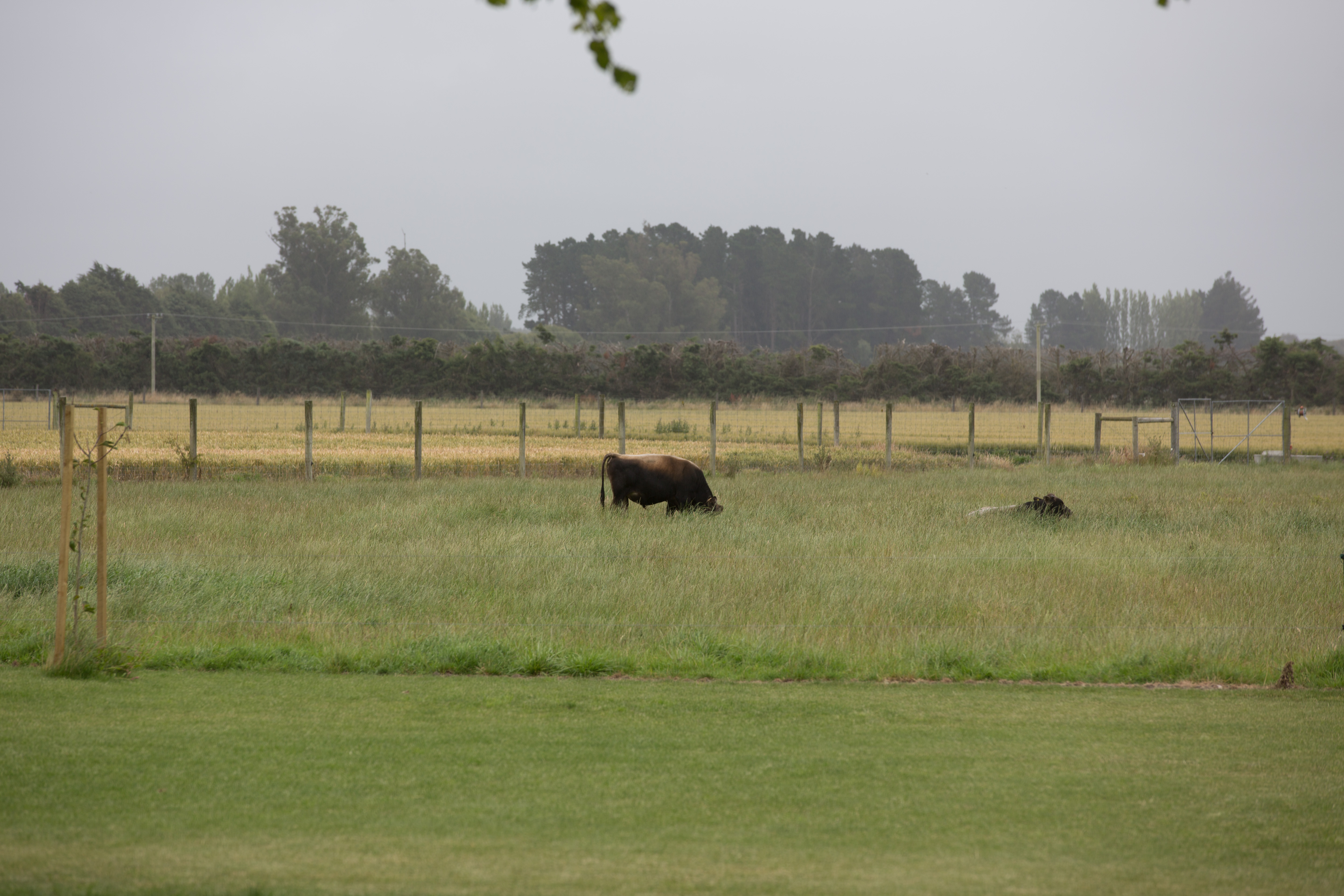
Hinds: golden harvest

Toi Tois
_G3C7591.jpg
Topographic Map of Ashburton, New Zealand
Find elevation by address:

Places in Ashburton, New Zealand:
Places near Ashburton, New Zealand:
186 South Street
Hampstead
33 Alford Forest Road
Allenton
Allens Road
100 Johnstone St
Tinwald
433 Fairfield Rd
Eiffelton
Poplar Road
Barrhill
10 Oak Avenue
265 Hardys Road
253 Normanby Road
1 Hardys Road
Rakaia
14 Saint John Street
Southbridge
8 Taiaroa Place
15 Bridge Street
Recent Searches:
- Elevation map of Greenland, Greenland
- Elevation of Sullivan Hill, New York, New York, 10002, USA
- Elevation of Morehead Road, Withrow Downs, Charlotte, Mecklenburg County, North Carolina, 28262, USA
- Elevation of 2800, Morehead Road, Withrow Downs, Charlotte, Mecklenburg County, North Carolina, 28262, USA
- Elevation of Yangbi Yi Autonomous County, Yunnan, China
- Elevation of Pingpo, Yangbi Yi Autonomous County, Yunnan, China
- Elevation of Mount Malong, Pingpo, Yangbi Yi Autonomous County, Yunnan, China
- Elevation map of Yongping County, Yunnan, China
- Elevation of North 8th Street, Palatka, Putnam County, Florida, 32177, USA
- Elevation of 107, Big Apple Road, East Palatka, Putnam County, Florida, 32131, USA
- Elevation of Jiezi, Chongzhou City, Sichuan, China
- Elevation of Chongzhou City, Sichuan, China
- Elevation of Huaiyuan, Chongzhou City, Sichuan, China
- Elevation of Qingxia, Chengdu, Sichuan, China
- Elevation of Corso Fratelli Cairoli, 35, Macerata MC, Italy
- Elevation of Tallevast Rd, Sarasota, FL, USA
- Elevation of 4th St E, Sonoma, CA, USA
- Elevation of Black Hollow Rd, Pennsdale, PA, USA
- Elevation of Oakland Ave, Williamsport, PA, USA
- Elevation of Pedrógão Grande, Portugal