Elevation of 10 Oak Avenue, Barrhill, New Zealand
Location: New Zealand > Canterbury > Barrhill >
Longitude: 171.851796
Latitude: -43.672944
Elevation: 210m / 689feet
Barometric Pressure: 99KPa
Elevation Map:
Satellite Map:
Related Photos:
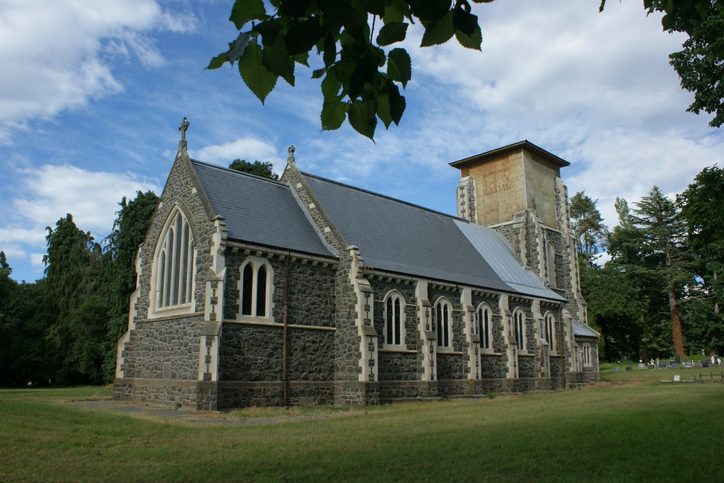
Hororata: St John's Anglican Church (c.1911) (5)

Hororata: St John's Anglican Church (c.1911) (3)

Hororata: St John's Anglican Church (c.1911) (1)

Hororata: St John's Anglican Church (c.1911) (2)

Old house, Chertsey, Rakaia district, Canterbury, New Zealand

Hororata: St John's Anglican Church (c.1911) (4)

Canterbury Plains

Sunset near Methven, mid-Canterbury

Old truck, Chertsey, Canterbury, New Zealand

Old railway shed, Chertsey, Canterbury, New Zealand

DXC 5419

Chertsey, revisited (1)

McCormick-International B414

Bridge Piers and Irrigation Canal.

Camera Roll-3480
Topographic Map of 10 Oak Avenue, Barrhill, New Zealand
Find elevation by address:

Places near 10 Oak Avenue, Barrhill, New Zealand:
Barrhill
265 Hardys Road
253 Normanby Road
1 Hardys Road
Rakaia
433 Fairfield Rd
Allens Road
Allenton
33 Alford Forest Road
Ashburton
Hampstead
186 South Street
Tinwald
100 Johnstone St
Eiffelton
14 Saint John Street
Southbridge
8 Taiaroa Place
15 Bridge Street
Poplar Road
Recent Searches:
- Elevation of Corso Fratelli Cairoli, 35, Macerata MC, Italy
- Elevation of Tallevast Rd, Sarasota, FL, USA
- Elevation of 4th St E, Sonoma, CA, USA
- Elevation of Black Hollow Rd, Pennsdale, PA, USA
- Elevation of Oakland Ave, Williamsport, PA, USA
- Elevation of Pedrógão Grande, Portugal
- Elevation of Klee Dr, Martinsburg, WV, USA
- Elevation of Via Roma, Pieranica CR, Italy
- Elevation of Tavkvetili Mountain, Georgia
- Elevation of Hartfords Bluff Cir, Mt Pleasant, SC, USA