Elevation of 1 Hardys Road, Canterbury, New Zealand

Location: New Zealand > Canterbury > Rakaia >

Longitude: 172.012815

Latitude: -43.755477

Elevation: 111m / 364feet

Barometric Pressure: 100KPa

Elevation Map:

elevation map of 1 Hardys Road, Canterbury, New Zealand

Satellite Map:

Satellite map of 1 Hardys Road, Canterbury, New Zealand

Related Photos:

View to Rakaia River from Highway 1 - South Island, New Zealand
train kiwirail bankside nz
Warm Day
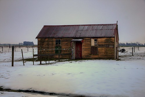
old house building abandoned rural decay cottage canterbury derelict dilapidated chertsey rakaia deterioration whare oldandbeautiful oncewashome
Old house, Chertsey, Rakaia district, Canterbury, New Zealand
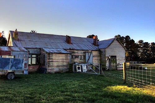
old newzealand house building abandoned home rural decay canterbury historic derelict dilapidated manse rakaia deterioration oldandbeautiful oncewashome
Old house, Rakaia, Canterbury, New Zealand
newzealand alps canterbury southern southernalps bankside rakaia canterburyplains dunsandel
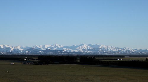
Canterbury Plains and Southern Alps. Photo taken at Bankside, Canterbury, New Zealand
newzealand alps canterbury southern bankside dunsandel
Southern Alps, View from Dunsandel, Canterbury, New Zealand
iphotoroll22102010 ashburtondistrictcanterburyplains canterbury customtag miscellaneouskeywords newzealand places raw southisland aeroplaneview farmagriculture iphoto iphotooriginal mollivan
Canterbury Plains
newzealand storm river landscape fieldtrip lightning cps tekapo rakaia jamesgibsonphotography
Rakaia River Storm
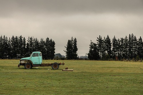
old newzealand abandoned truck farm canterbury vehicle derelict chertsey oldandbeautiful
Old truck, Chertsey, Canterbury, New Zealand
old newzealand building abandoned shed railway canterbury warehouse dilapidated chertsey oldandbeautiful
Old railway shed, Chertsey, Canterbury, New Zealand
Chertsey, revisited (1)
DXC 5419
newzealand places canterbury fieldtrip southisland species stonecrop sedumacre mollivan rakaiariver taxonomy:kingdom=plantae taxonomy:family=crassulaceae taxonomy:genus=sedum taxonomy:binomial=sedumacre taxonomy:common=stonecrop selwyndistrictcanterburyplains miscellaneouskeywords tamronspaf90mmf28dimacro11272nii observationaddedtonaturewatchnz photowithassociateddata canterburybotanicalsocietyfieldtrip rakaiaislandgreatisland
Sedum acre
Ford 4000 6X
newzealand places canterbury fieldtrip flowering southisland species gorse ulexeuropaeus mollivan rakaiariver flowercolour taxonomy:family=fabaceae taxonomy:kingdom=plantae taxonomy:genus=ulex manuallensnocpu taxonomy:binomial=ulexeuropaeus taxonomy:common=gorse selwyndistrictcanterburyplains flowercolouryellow miscellaneouskeywords planttraits observationaddedtonaturewatchnz photowithassociateddata canterburybotanicalsocietyfieldtrip rakaiaislandgreatisland
flowering gorse
newzealand rain weather landscape places canterbury southisland mollivan rakaiariver imagetype photospecs universityteaching lincolnuniversityundergraduatecourse selwyndistrictcanterburyplains miscellaneouskeywords tamronspaf90mmf28dimacro11272nii ecol302appliedecologyandconservation
2014-04-27 at 16-08-09
Rakia, New Zealand
adventuresouth alpstoocean
2012-12-10 09.37.09
newzealand bus honeymoon nz throughabuswindow takenatspeed
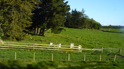
BEES!!!!!!
Camera Roll-3481
newzealand bus honeymoon nz throughabuswindow takenatspeed
growing pretty flowers
Camera Roll-3483
Camera Roll-3482
Camera Roll-3480
Camera Roll-3487