Elevation of Ashburn Road, Ashburn Rd, Springfield, TN, USA
Location: United States > Tennessee > Robertson County > Springfield >
Longitude: -86.835171
Latitude: 36.6229381
Elevation: 200m / 656feet
Barometric Pressure: 99KPa
Elevation Map:
Satellite Map:
Related Photos:
Barren Plains Road (TN25) - Robertson County, Tennessee

Another day tied down...

Mystery Windmill

Eastern Bluebird on the bath
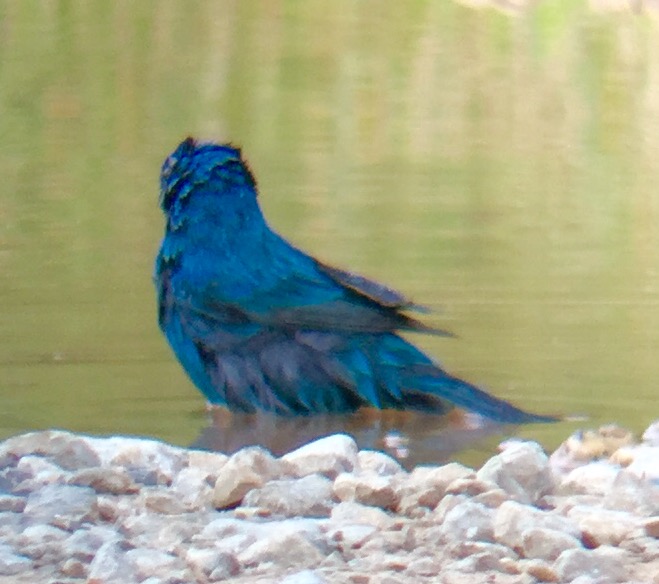
Indigo Bunting getting a bath

Robertson County, TN Courthouse - Springfield, TN

Eastern Bluebird claiming his turf

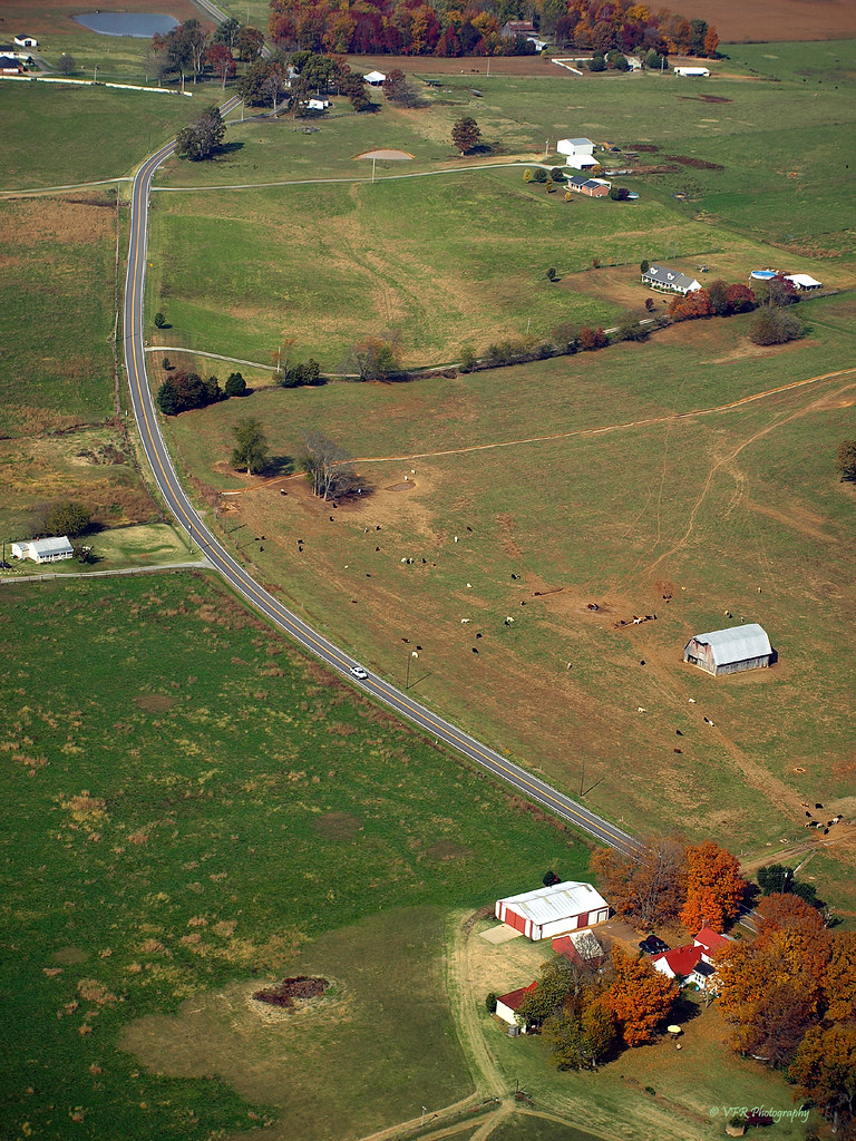
Kentucky Farm
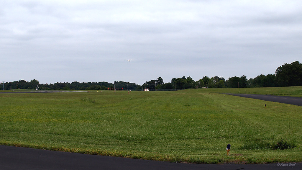
My first solo flight (photo courtesy of Aaron Boyd)

My first solo flight (photo courtesy of Aaron Boyd)

Leconte's Sparrow by Frank Lyne
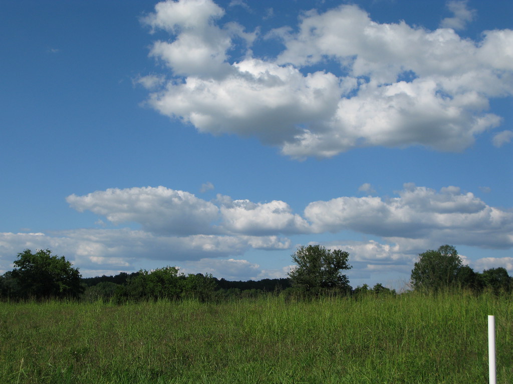
A Beautiful Springfield Sky
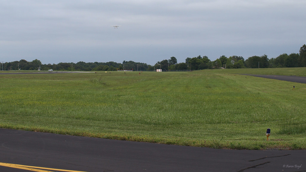
My first solo flight (photo courtesy of Aaron Boyd)

Leconte's Sparrow by Frank Lyne

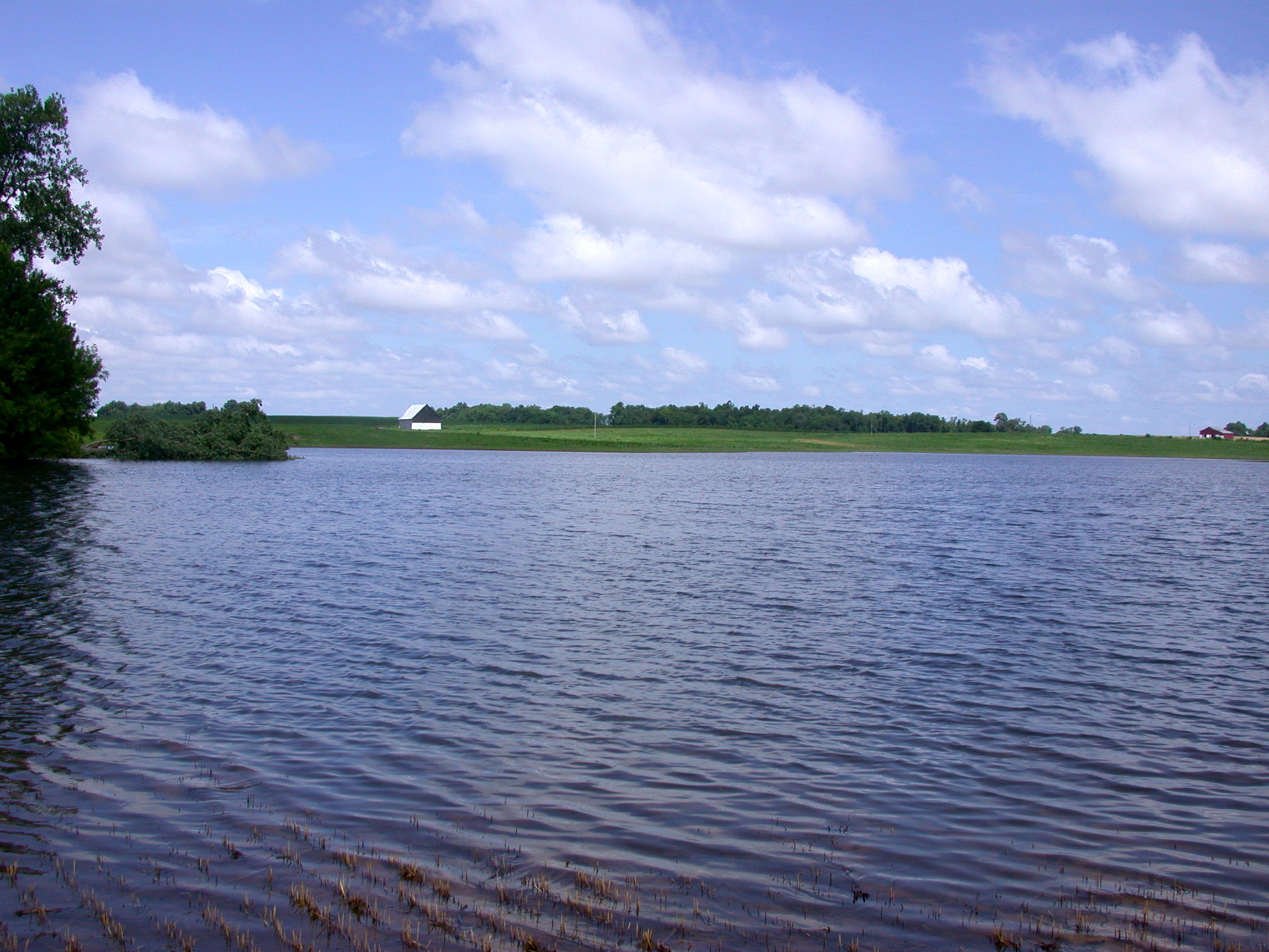
Red River

Grasshopper Sparrow

Lincoln's Sparrow by Frank Lyne

Red River

St. Louis Limestone
739 Pond

Leconte's Sparrow by Frank Lyne

Savannah Sparrow 150328

Grasshopper Sparrow

St. Louis Limestone outcrop

Female Purple Finch

Savannah Sparrow

20141130-300946-Edit
Topographic Map of Ashburn Road, Ashburn Rd, Springfield, TN, USA
Find elevation by address:

Places near Ashburn Road, Ashburn Rd, Springfield, TN, USA:
Youngville Rd, Springfield, TN, USA
State Line Rd, Springfield, TN, USA
TN-49, Springfield, TN, USA
Corinth Rd, Russellville, KY, USA
9057 Tn-52
9104 Tn-52
5445 Long Rd
1017 Hatter Rd
511 Brooks Ave
5629 Nashville Rd
203 S Main St
203 Evergreen St
Franklin
144 Mason St
409 E Madison St
N Main St, Franklin, KY, USA
1301 Crestmore Dr
107 Arthur Ct
Geddes Rd, Franklin, KY, USA
102 Arthur Ct
Recent Searches:
- Elevation of Corso Fratelli Cairoli, 35, Macerata MC, Italy
- Elevation of Tallevast Rd, Sarasota, FL, USA
- Elevation of 4th St E, Sonoma, CA, USA
- Elevation of Black Hollow Rd, Pennsdale, PA, USA
- Elevation of Oakland Ave, Williamsport, PA, USA
- Elevation of Pedrógão Grande, Portugal
- Elevation of Klee Dr, Martinsburg, WV, USA
- Elevation of Via Roma, Pieranica CR, Italy
- Elevation of Tavkvetili Mountain, Georgia
- Elevation of Hartfords Bluff Cir, Mt Pleasant, SC, USA