Elevation of Brooks Ave, Franklin, KY, USA
Location: United States > Kentucky > Simpson County > Franklin >
Longitude: -86.589311
Latitude: 36.7175162
Elevation: 224m / 735feet
Barometric Pressure: 99KPa
Elevation Map:
Satellite Map:
Related Photos:
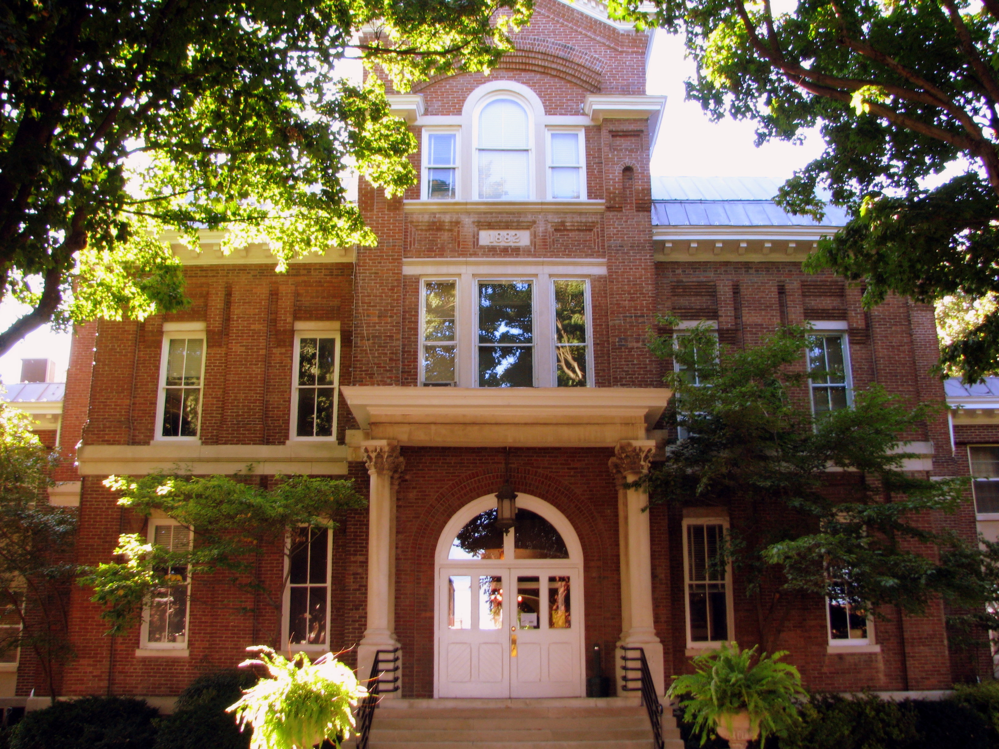
Simpson County Courthouse 3 - Front

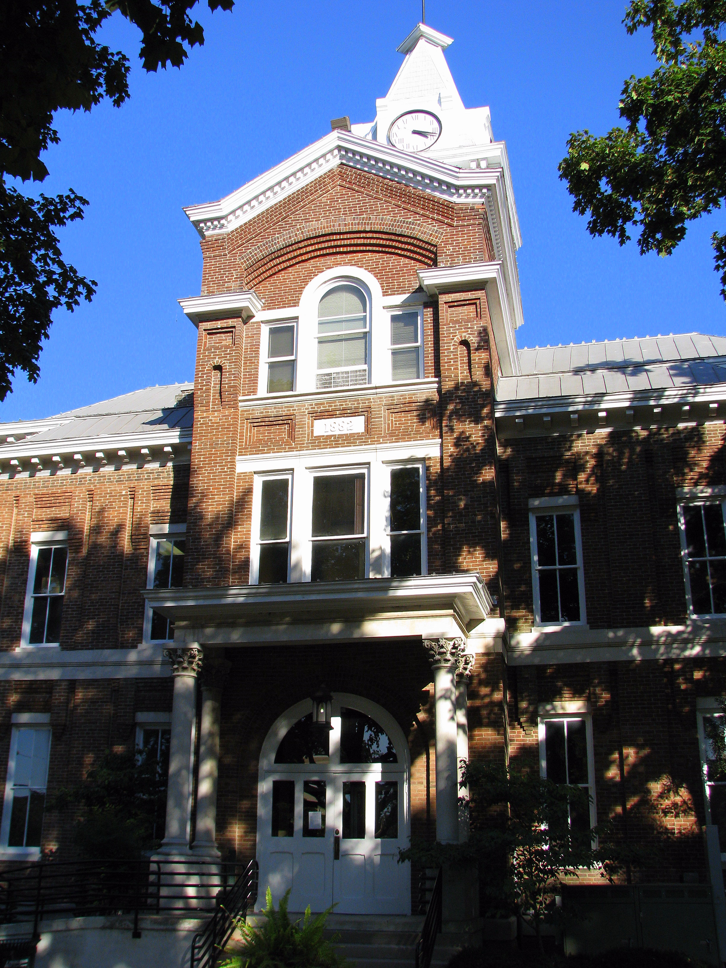
Simpson County Courthouse 1 - Clock Tower
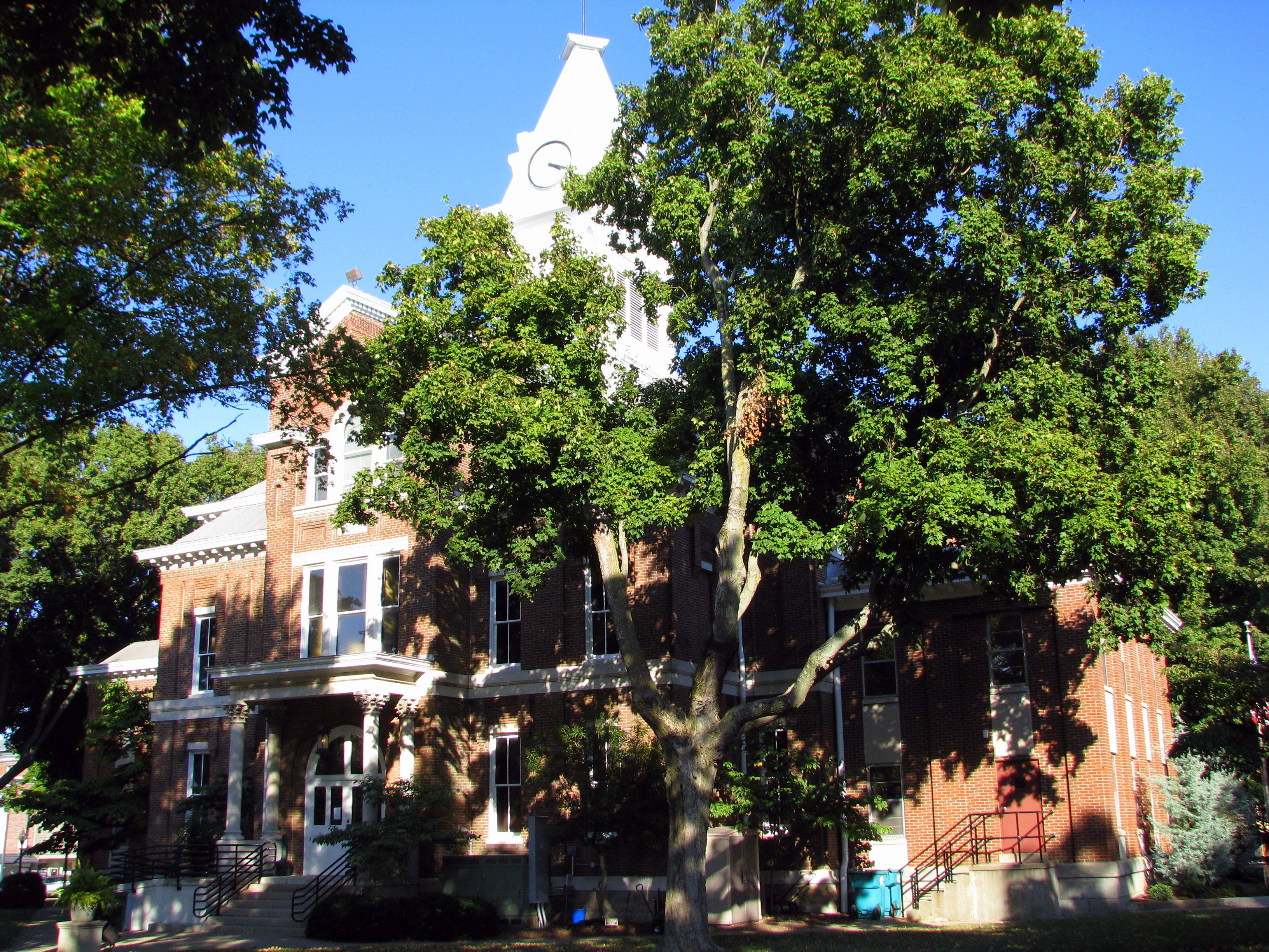
Simpson County Courthouse 5 - back view
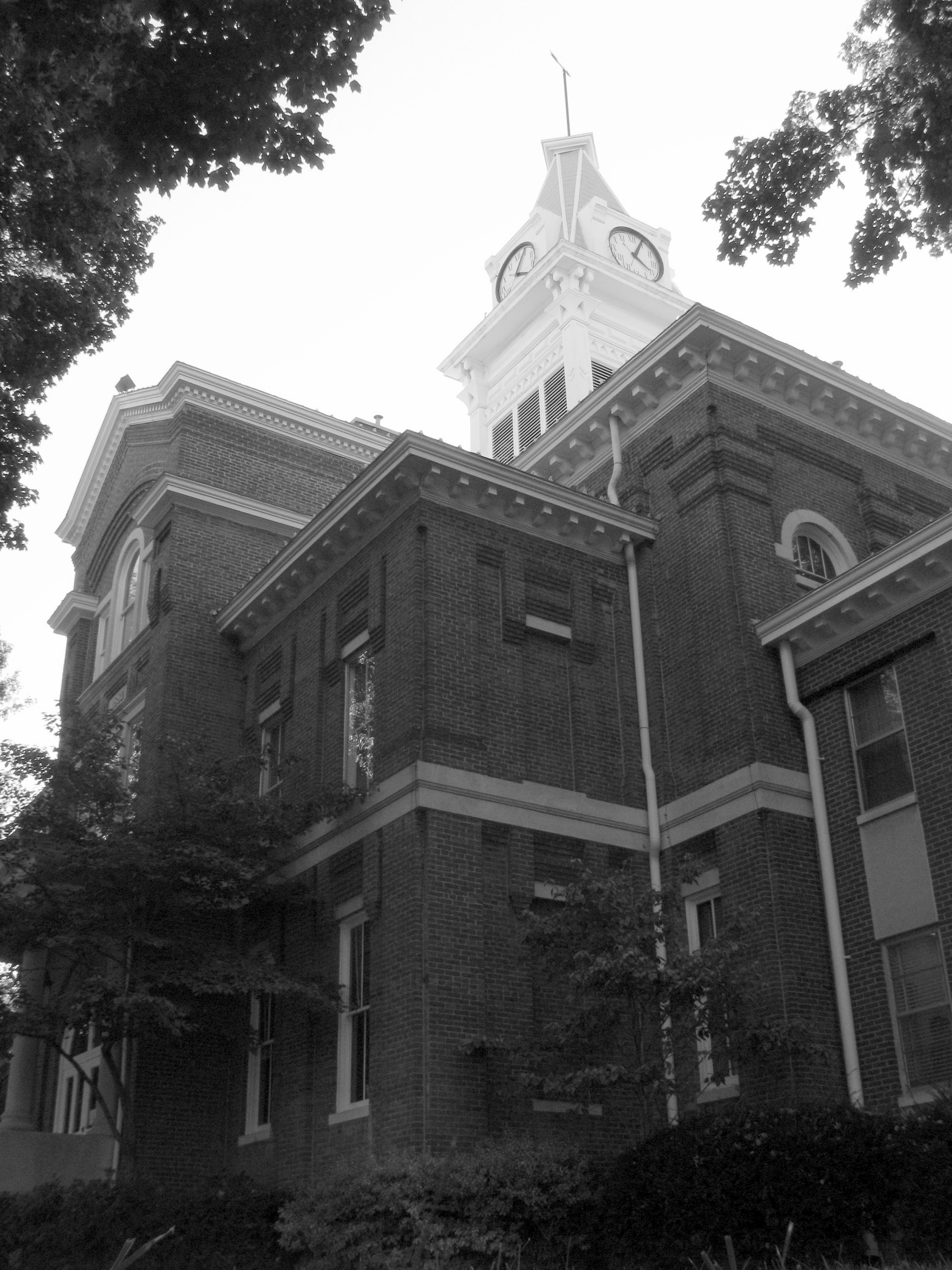
Simpson County Courthouse 2 b/w front corner
Simpson County Courthouse 4 - rear entrance
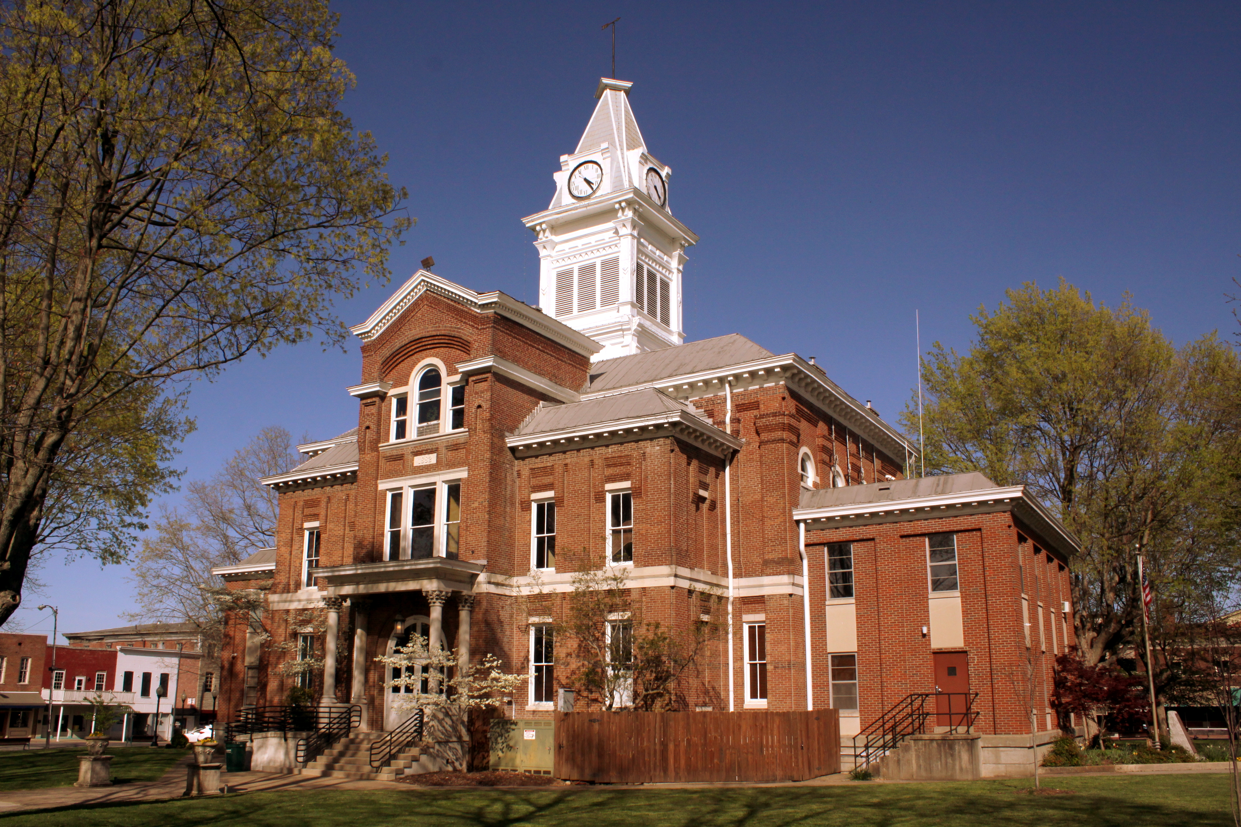
Simpson County Courthouse - Franklin, KY
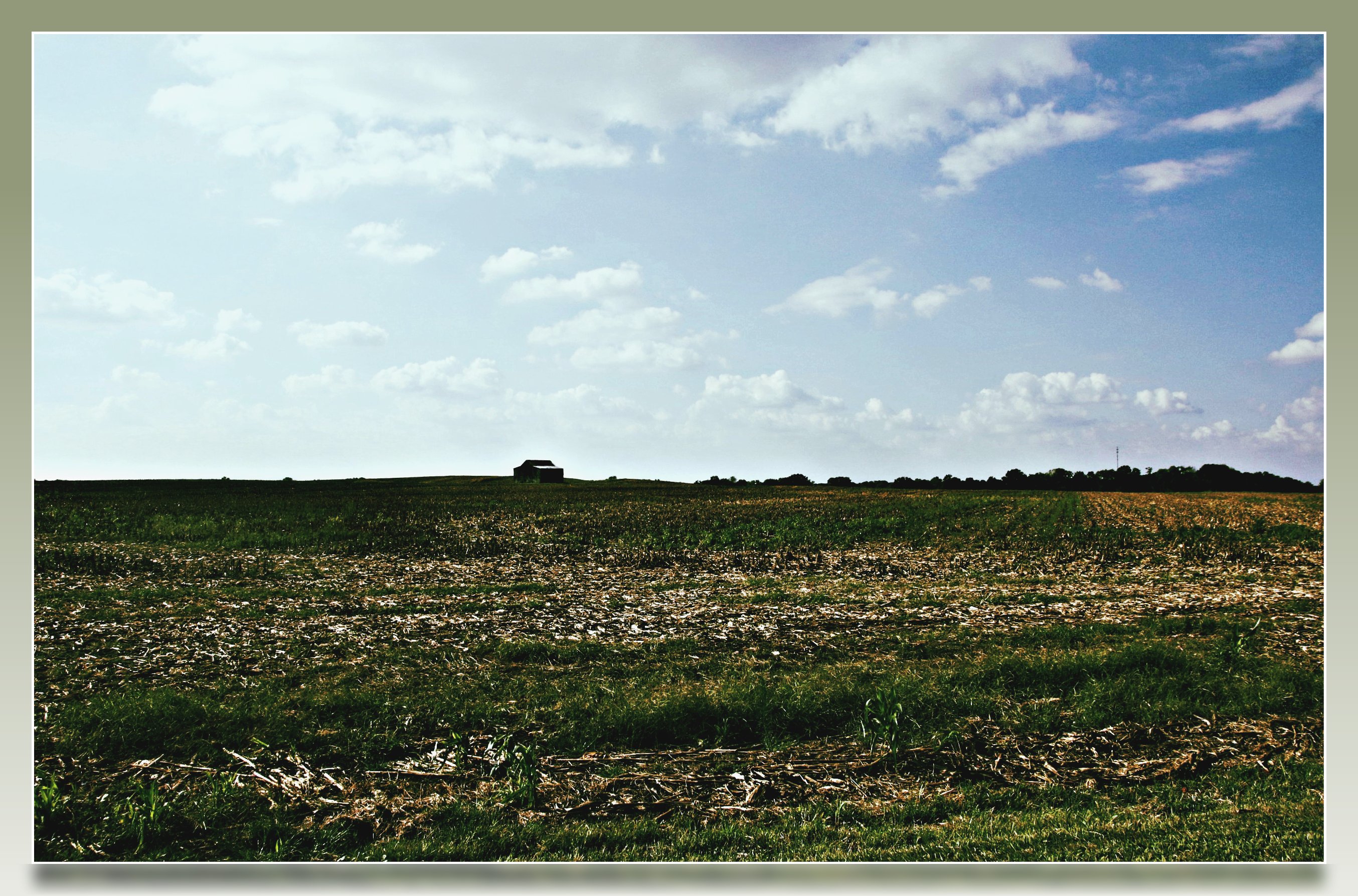
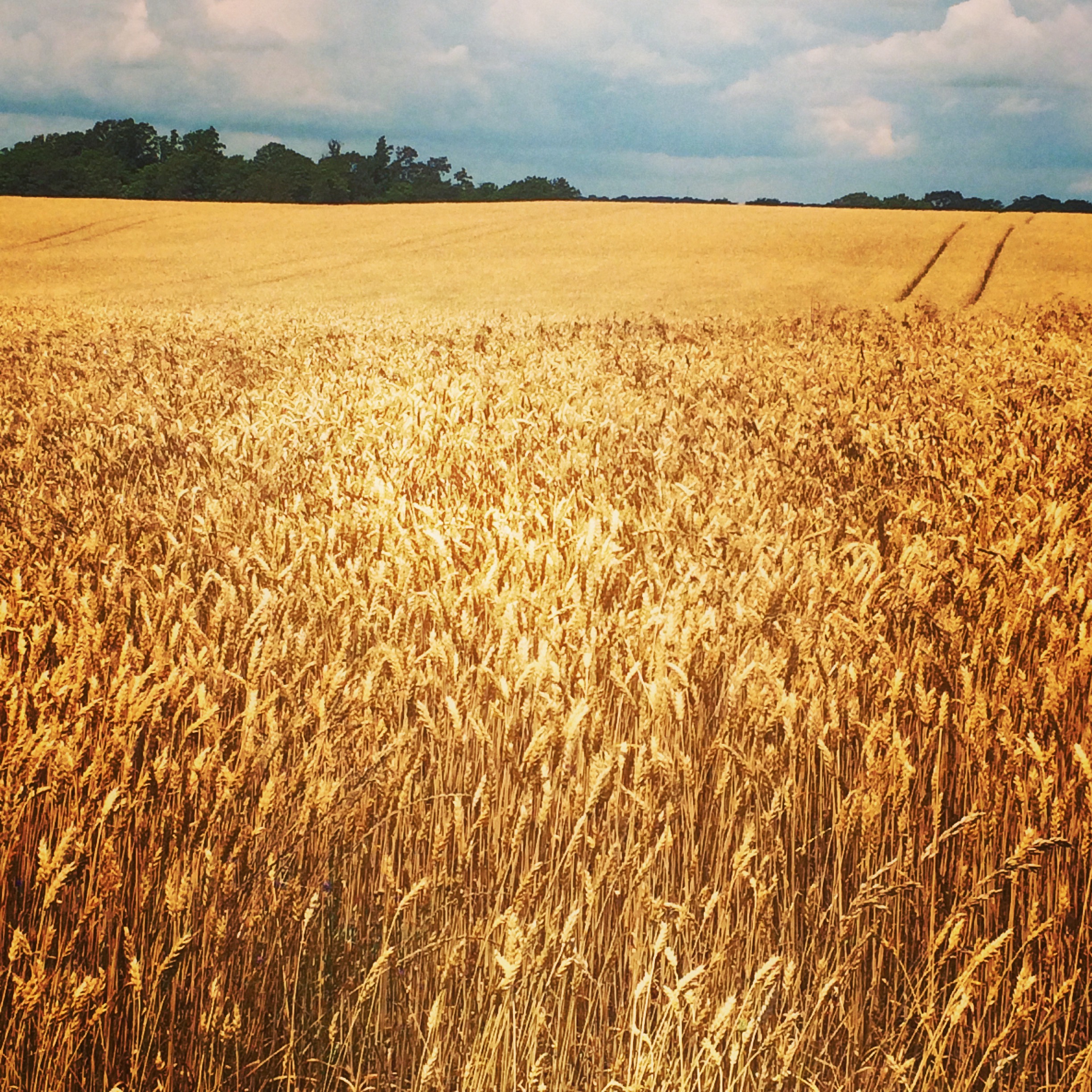
Kentucky Farm

Joe Diffie at Kentucky Downs
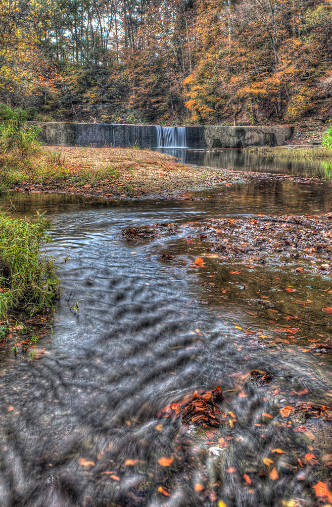
Go with the Flow
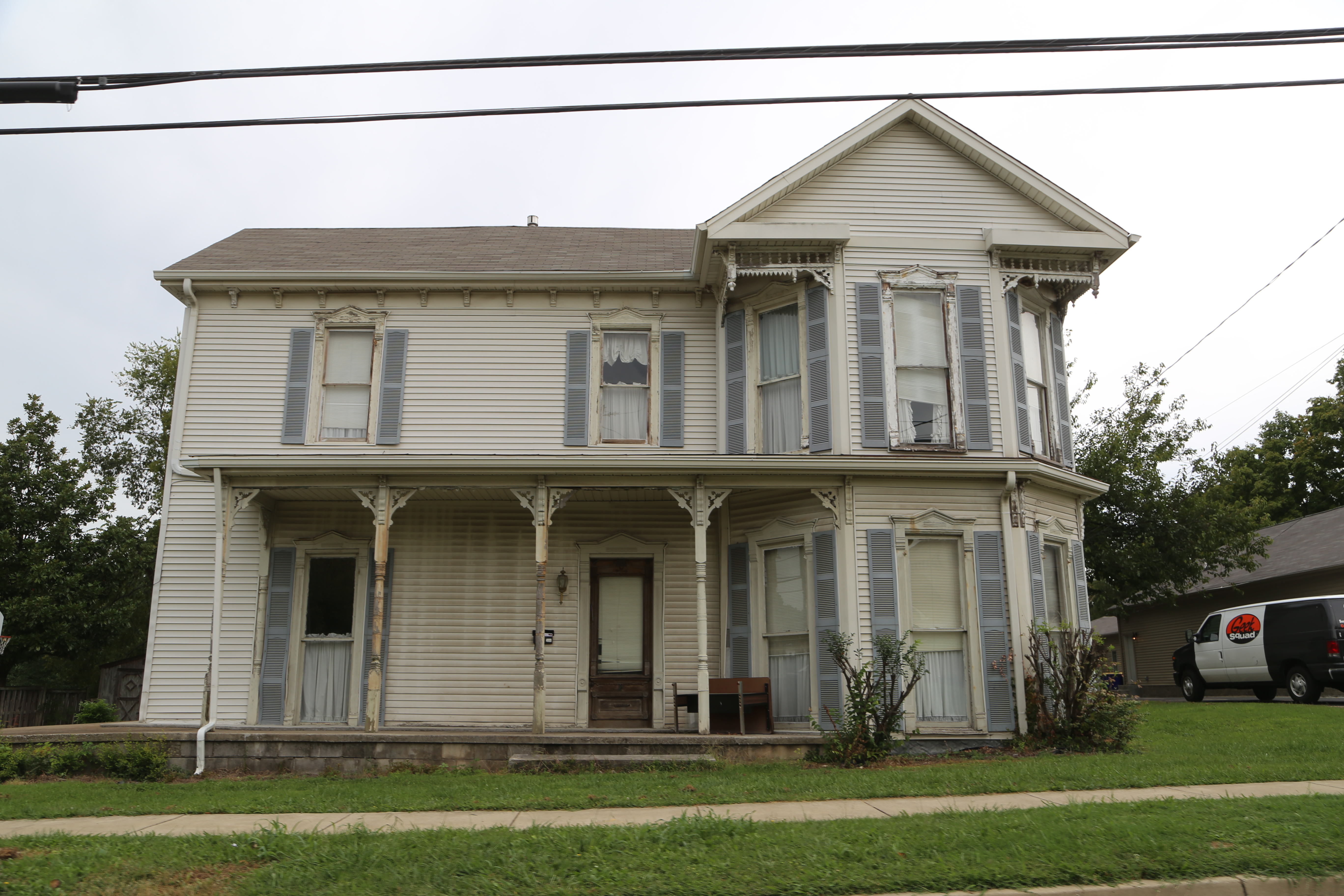
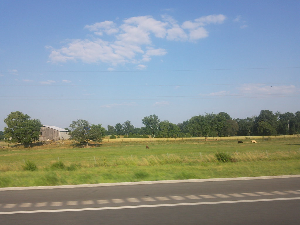
Franklin Kentucky, Simpson County KY
bonnaroo 2014 bound

State Trooper! (Tennessee Edition)

KY shots
2010-07-05 17.42.27
Kentucky Welcome Center rest area

Orange Sulphur (Colias eurytheme)

Common Buckeye (Junonia coenia)

#flowers #flowerstagram #flowerstalker
Topographic Map of Brooks Ave, Franklin, KY, USA
Find elevation by address:

Places near Brooks Ave, Franklin, KY, USA:
203 S Main St
Franklin
409 E Madison St
N Main St, Franklin, KY, USA
1017 Hatter Rd
1301 Crestmore Dr
Geddes Rd, Franklin, KY, USA
5629 Nashville Rd
5445 Long Rd
9104 Tn-52
9057 Tn-52
203 Evergreen St
144 Mason St
123 Briley Ln
107 Arthur Ct
102 Arthur Ct
2013 College St
Portland
State Line Rd, Springfield, TN, USA
Corinth Rd, Russellville, KY, USA
Recent Searches:
- Elevation of Corso Fratelli Cairoli, 35, Macerata MC, Italy
- Elevation of Tallevast Rd, Sarasota, FL, USA
- Elevation of 4th St E, Sonoma, CA, USA
- Elevation of Black Hollow Rd, Pennsdale, PA, USA
- Elevation of Oakland Ave, Williamsport, PA, USA
- Elevation of Pedrógão Grande, Portugal
- Elevation of Klee Dr, Martinsburg, WV, USA
- Elevation of Via Roma, Pieranica CR, Italy
- Elevation of Tavkvetili Mountain, Georgia
- Elevation of Hartfords Bluff Cir, Mt Pleasant, SC, USA