Elevation of Nashville Rd, Franklin, KY, USA
Location: United States > Kentucky > Simpson County > Franklin >
Longitude: -86.562310
Latitude: 36.6414983
Elevation: 233m / 764feet
Barometric Pressure: 99KPa
Elevation Map:
Satellite Map:
Related Photos:
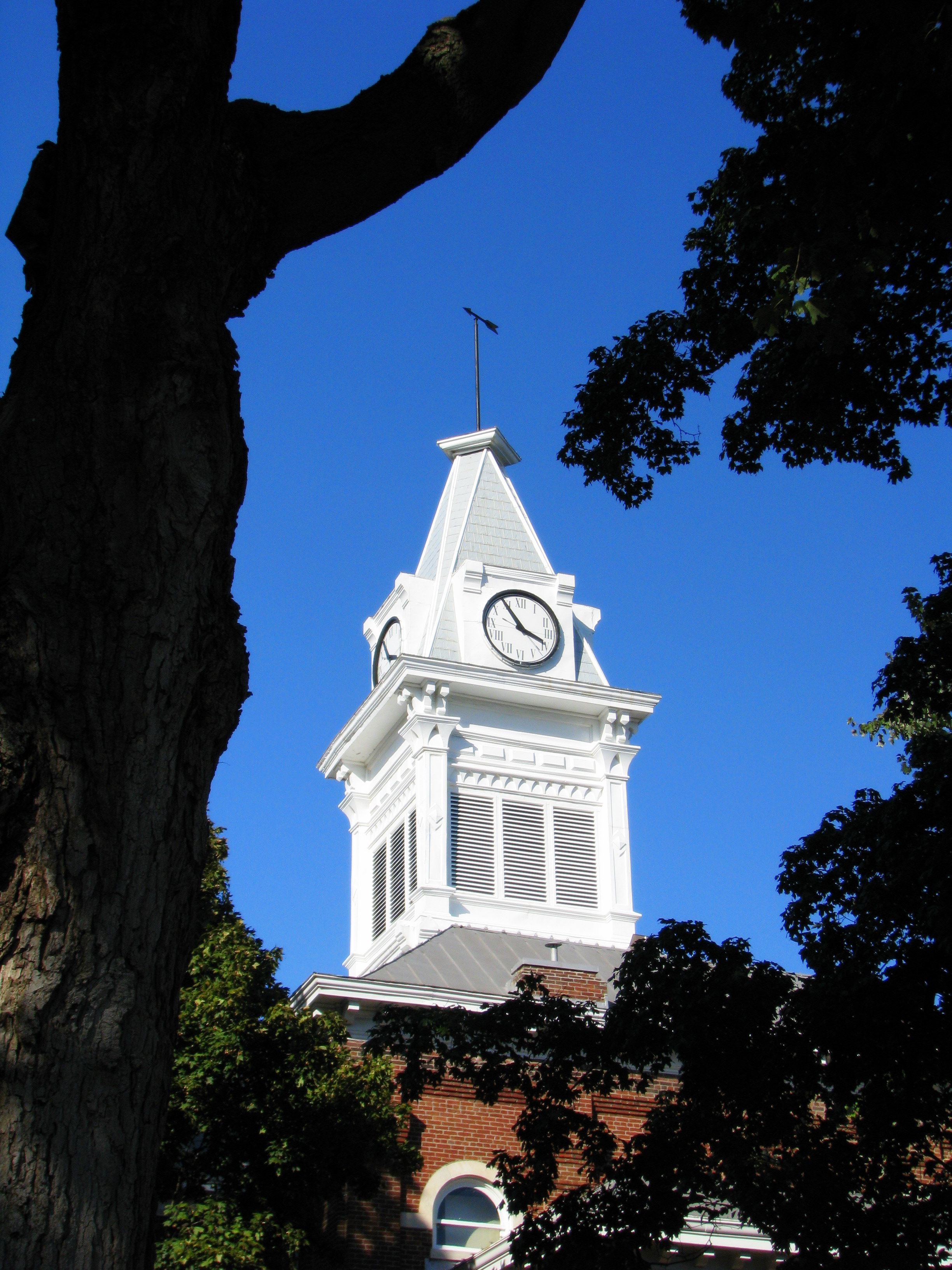
Simpson County Courthouse 1 - Clock Tower
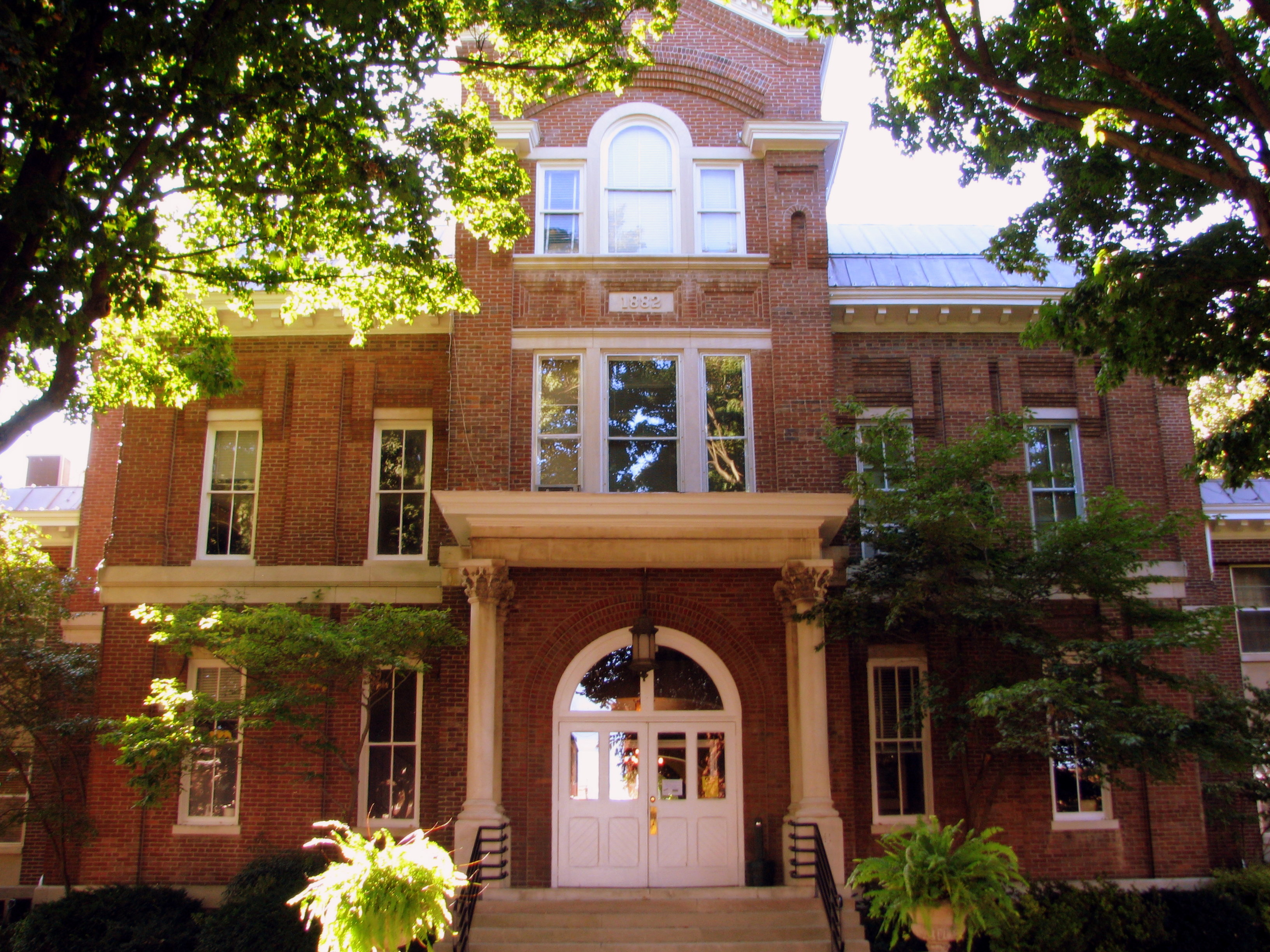
Simpson County Courthouse 3 - Front
Simpson County Courthouse 5 - back view
Simpson County Courthouse 2 b/w front corner
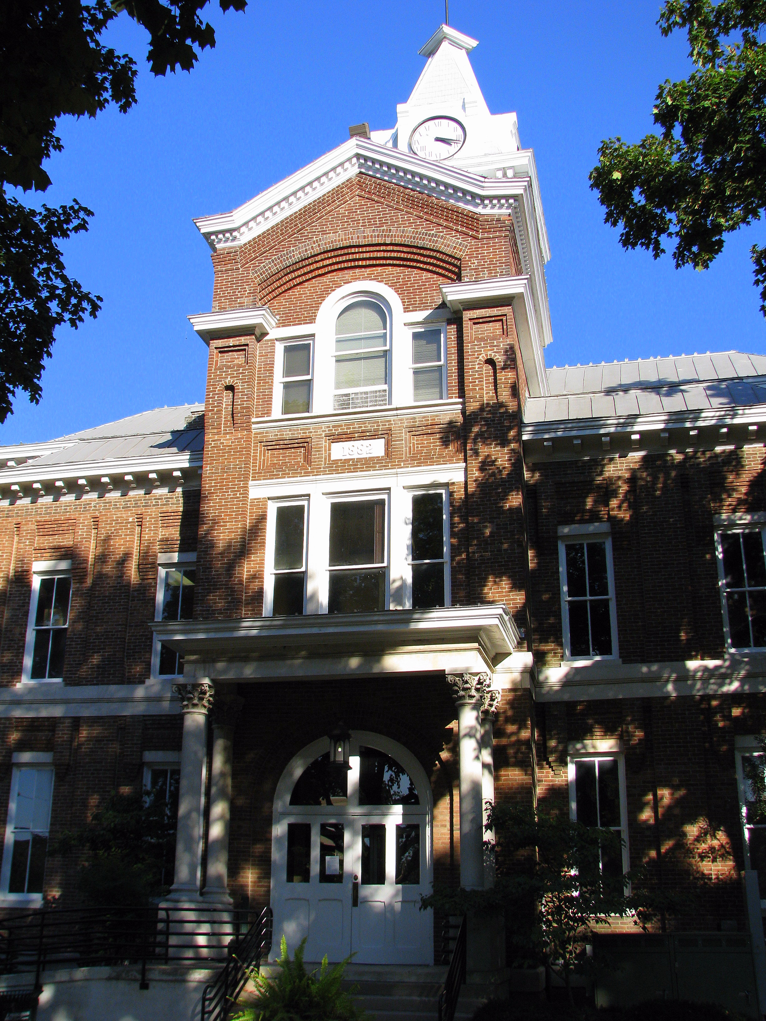
Simpson County Courthouse 4 - rear entrance
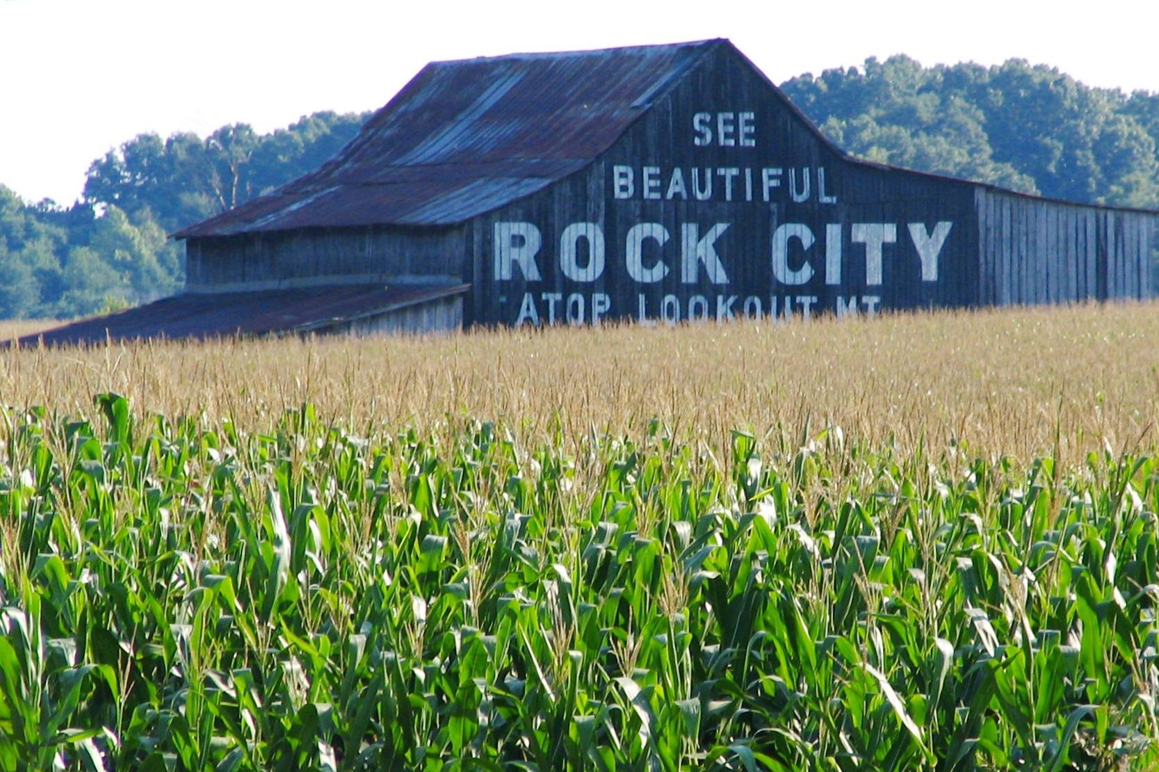
See Beautiful Rock City

#flowers #flowerstagram #flowerstalker

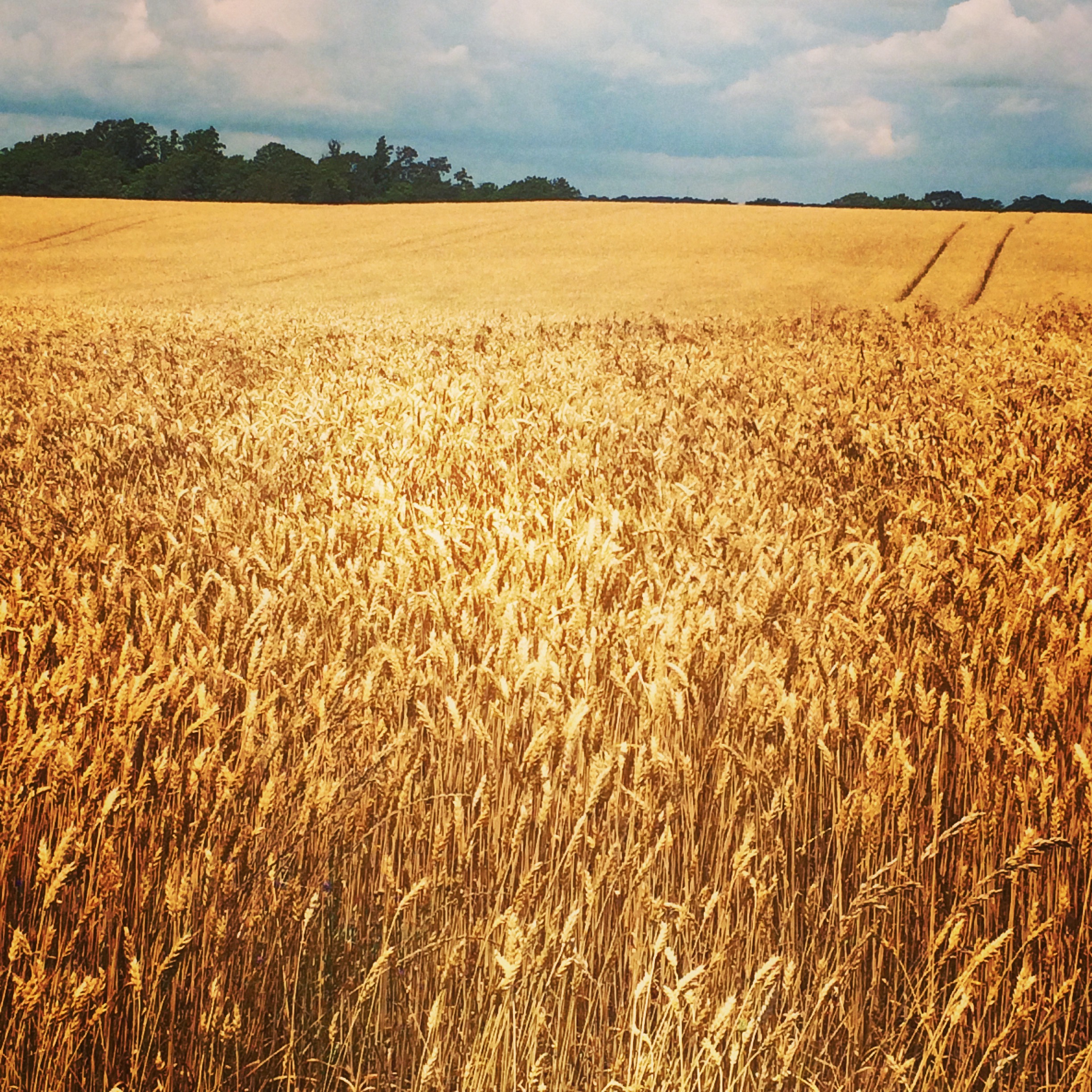
Kentucky Farm
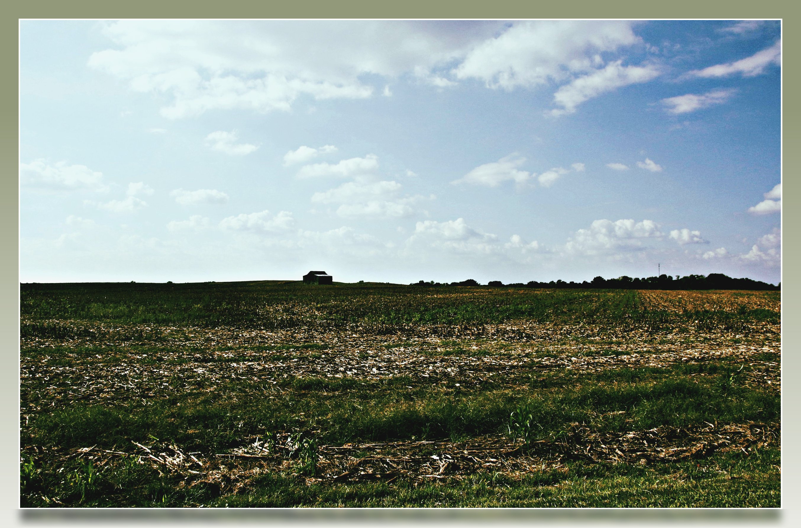
Kentucky Farm

Gonna go ziplining
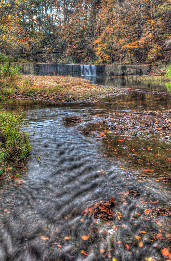
Go with the Flow
bonnaroo 2014 bound
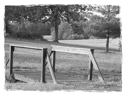
Playground Bridge

KY shots
2010-07-05 17.42.27
Kentucky Welcome Center rest area

Kentucky Downs Race 2

Orange Sulphur (Colias eurytheme)

Sachem (Atalopedes campestris)

Common Buckeye (Junonia coenia)

Joe Diffie at Kentucky Downs
Topographic Map of Nashville Rd, Franklin, KY, USA
Find elevation by address:

Places near Nashville Rd, Franklin, KY, USA:
Geddes Rd, Franklin, KY, USA
203 Evergreen St
144 Mason St
5445 Long Rd
123 Briley Ln
107 Arthur Ct
102 Arthur Ct
9104 Tn-52
2013 College St
9057 Tn-52
1301 Crestmore Dr
Portland
409 E Madison St
203 S Main St
511 Brooks Ave
Franklin
1017 Hatter Rd
N Main St, Franklin, KY, USA
State Line Rd, Springfield, TN, USA
TN-49, Springfield, TN, USA
Recent Searches:
- Elevation of Corso Fratelli Cairoli, 35, Macerata MC, Italy
- Elevation of Tallevast Rd, Sarasota, FL, USA
- Elevation of 4th St E, Sonoma, CA, USA
- Elevation of Black Hollow Rd, Pennsdale, PA, USA
- Elevation of Oakland Ave, Williamsport, PA, USA
- Elevation of Pedrógão Grande, Portugal
- Elevation of Klee Dr, Martinsburg, WV, USA
- Elevation of Via Roma, Pieranica CR, Italy
- Elevation of Tavkvetili Mountain, Georgia
- Elevation of Hartfords Bluff Cir, Mt Pleasant, SC, USA