Elevation of Aroostook Scenic Hwy, Ashland, ME, USA
Location: United States > Maine > Aroostook County >
Longitude: -68.375784
Latitude: 46.5620592
Elevation: 167m / 548feet
Barometric Pressure: 99KPa
Elevation Map:
Satellite Map:
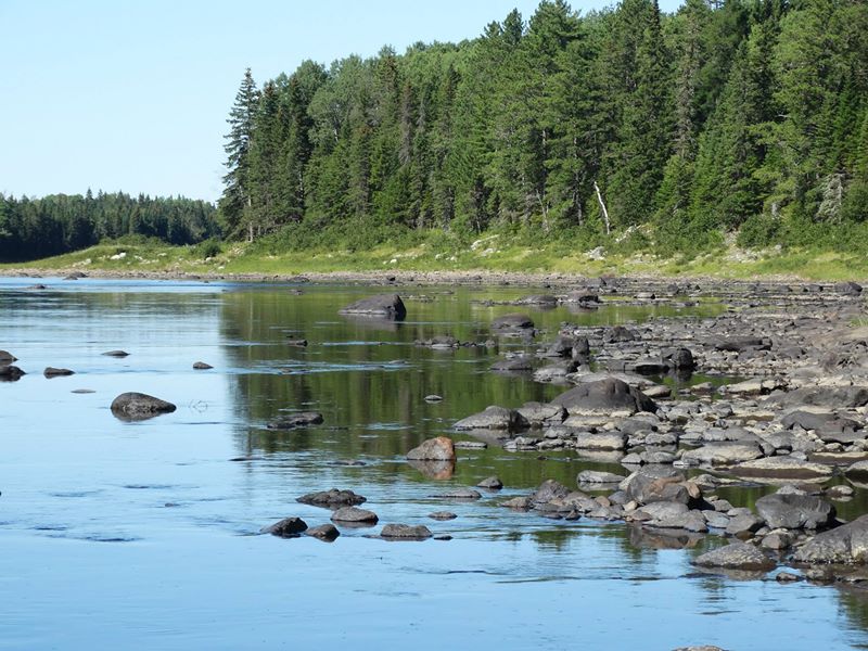
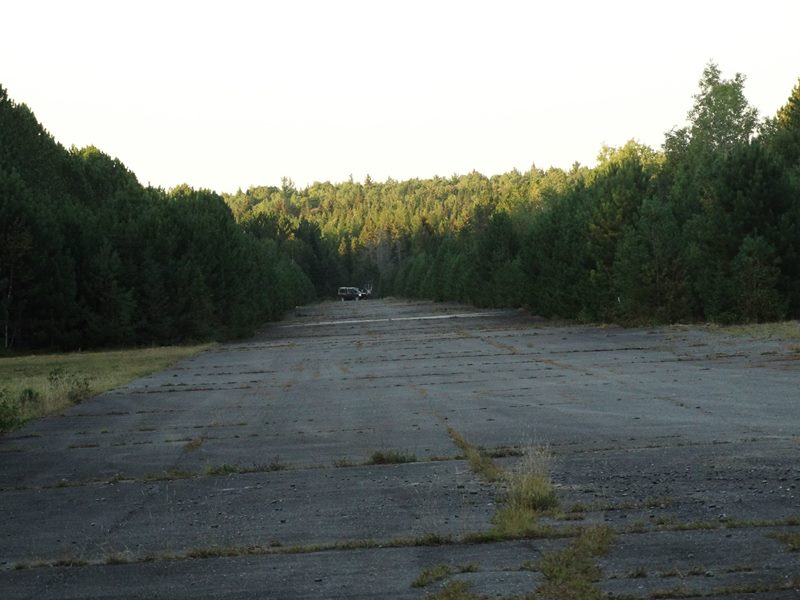
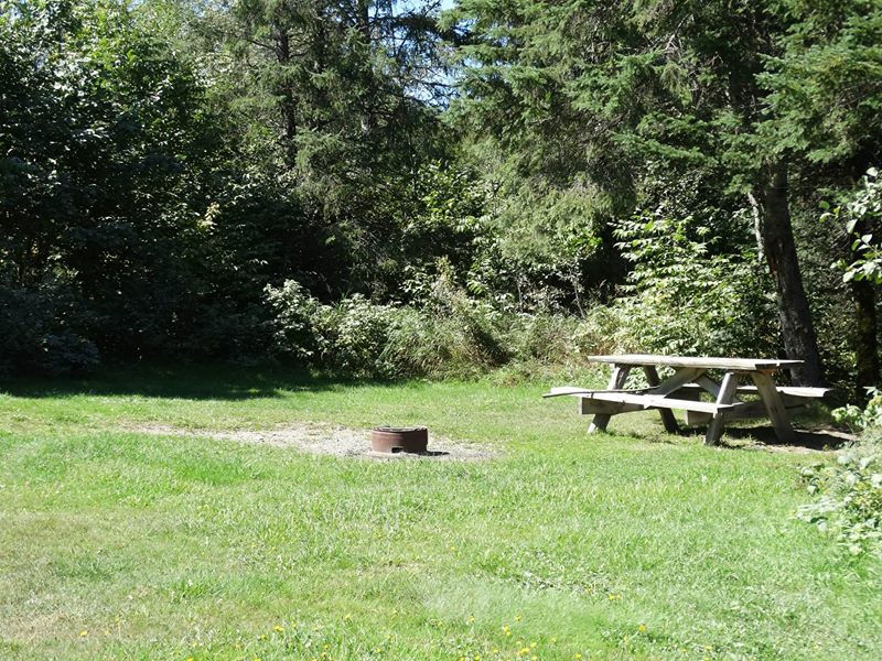
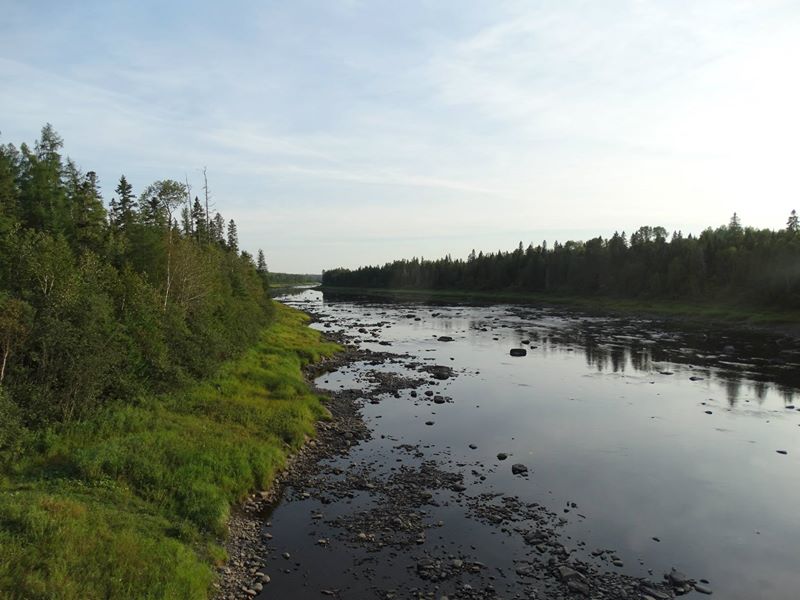
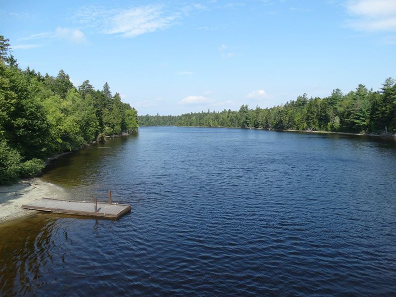
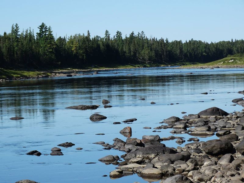
Related Photos:
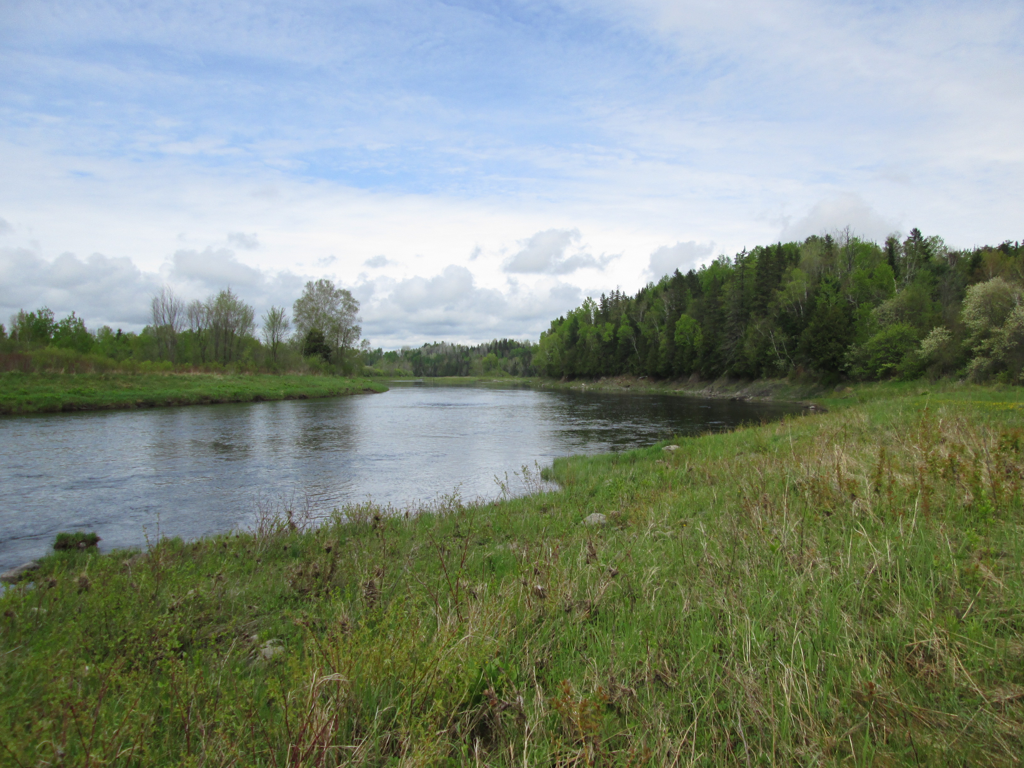
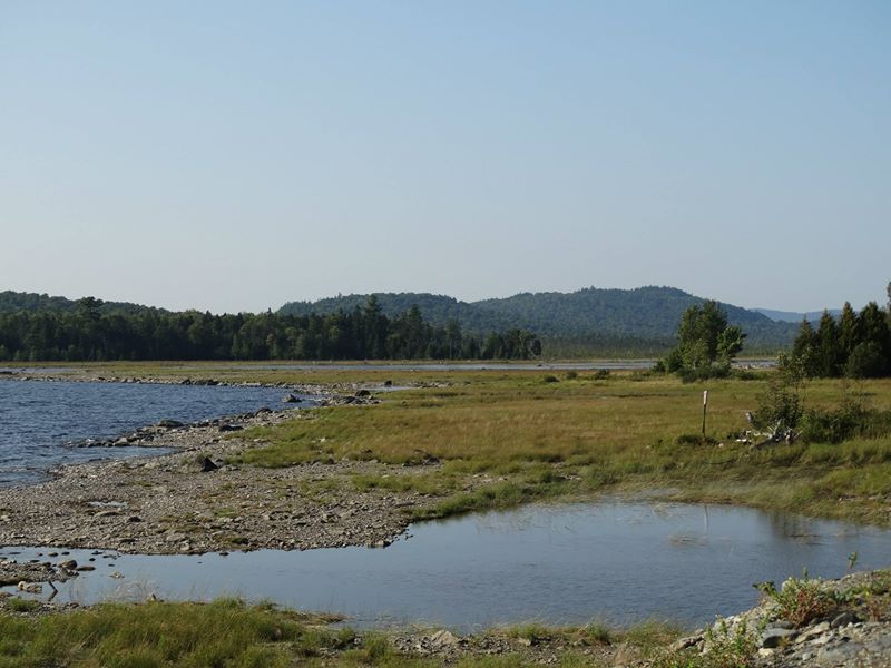
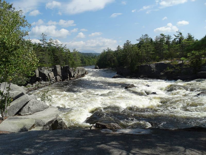
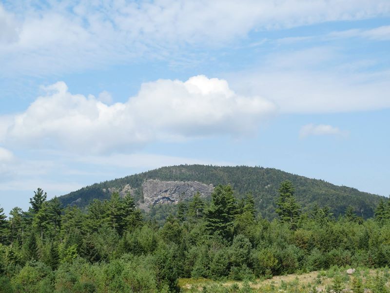
IMG_4342
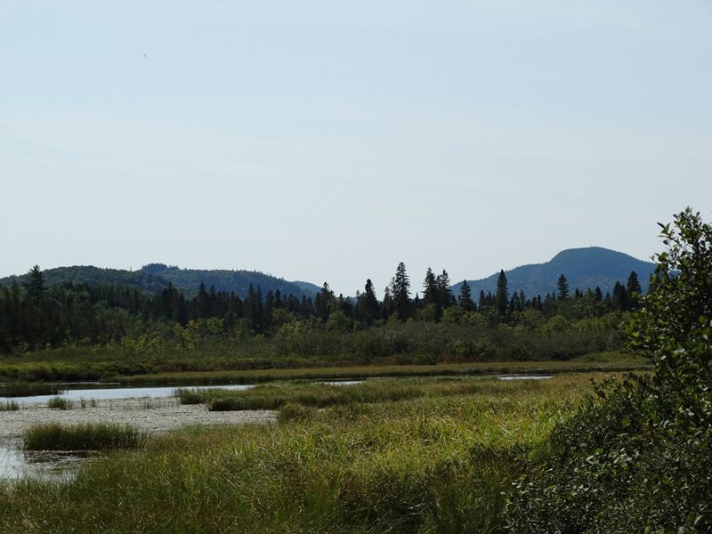
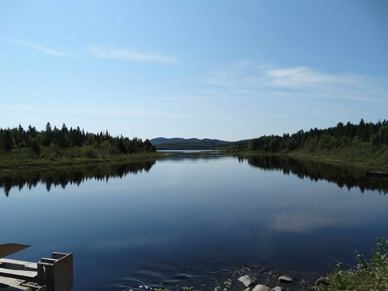
10152970728456574
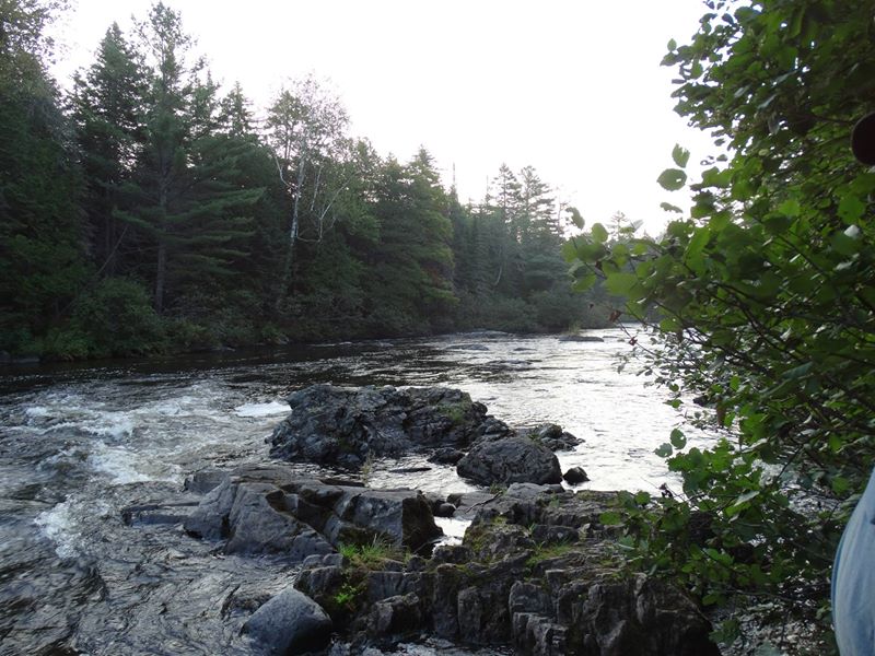
10152970730831574

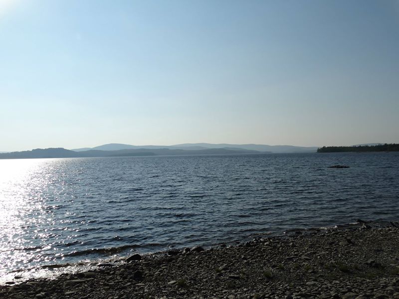
10152970734036574
10152970728151574
10152970733881574
10152970731471574
10152970734171574
10152970733911574
10152970734926574
10152970732171574
10152970734766574
10152970728416574
10152970734861574
10152970731101574
Topographic Map of Aroostook Scenic Hwy, Ashland, ME, USA
Find elevation by address:

Places near Aroostook Scenic Hwy, Ashland, ME, USA:
Masardis
ME-11, Masardis, ME, USA
Sheridan Rd, Ashland, ME, USA
Ashland
871 Oxbow Rd
Haystack Mountain
Oxbow
Oxbow Rd, Oxbow, ME, USA
1599 Oxbow Rd
Oxbow Rd, Oxbow, ME, USA
Castle Hill
W Chapman Rd, Chapman, ME, USA
Chapman
Mapleton
170 Fox Hill Rd
Portage Lake
Aroostook County
State Road
380 Carvell Rd
31 Riverside Dr, Washburn, ME, USA
Recent Searches:
- Elevation of Corso Fratelli Cairoli, 35, Macerata MC, Italy
- Elevation of Tallevast Rd, Sarasota, FL, USA
- Elevation of 4th St E, Sonoma, CA, USA
- Elevation of Black Hollow Rd, Pennsdale, PA, USA
- Elevation of Oakland Ave, Williamsport, PA, USA
- Elevation of Pedrógão Grande, Portugal
- Elevation of Klee Dr, Martinsburg, WV, USA
- Elevation of Via Roma, Pieranica CR, Italy
- Elevation of Tavkvetili Mountain, Georgia
- Elevation of Hartfords Bluff Cir, Mt Pleasant, SC, USA