Elevation of Ar Hwy E, Choctaw, AR, USA
Location: United States > Arkansas > Van Buren County > Choctaw Township > Choctaw >
Longitude: -92.438827
Latitude: 35.528125
Elevation: 166m / 545feet
Barometric Pressure: 99KPa
Elevation Map:
Satellite Map:
Related Photos:
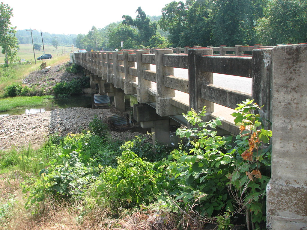
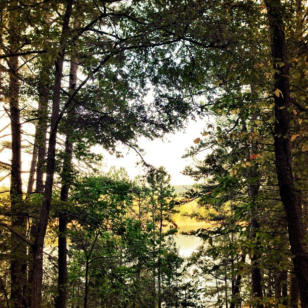
Pee Dee Creek-Side View
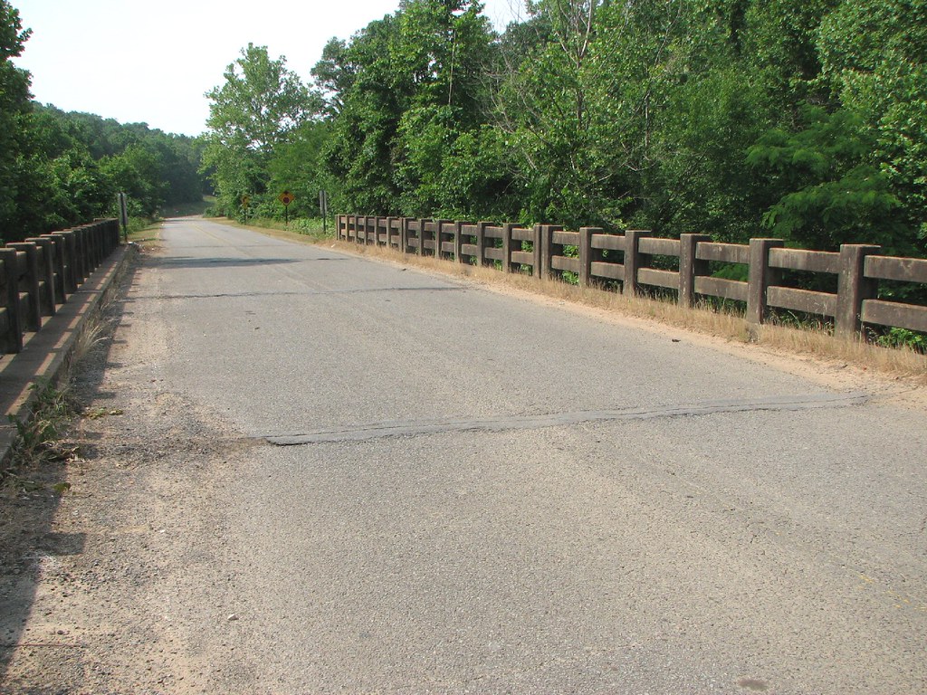
Deck View- Weaver Creek

Herd Approaching

Arkansas Sunset

Fairfield Bay Marina
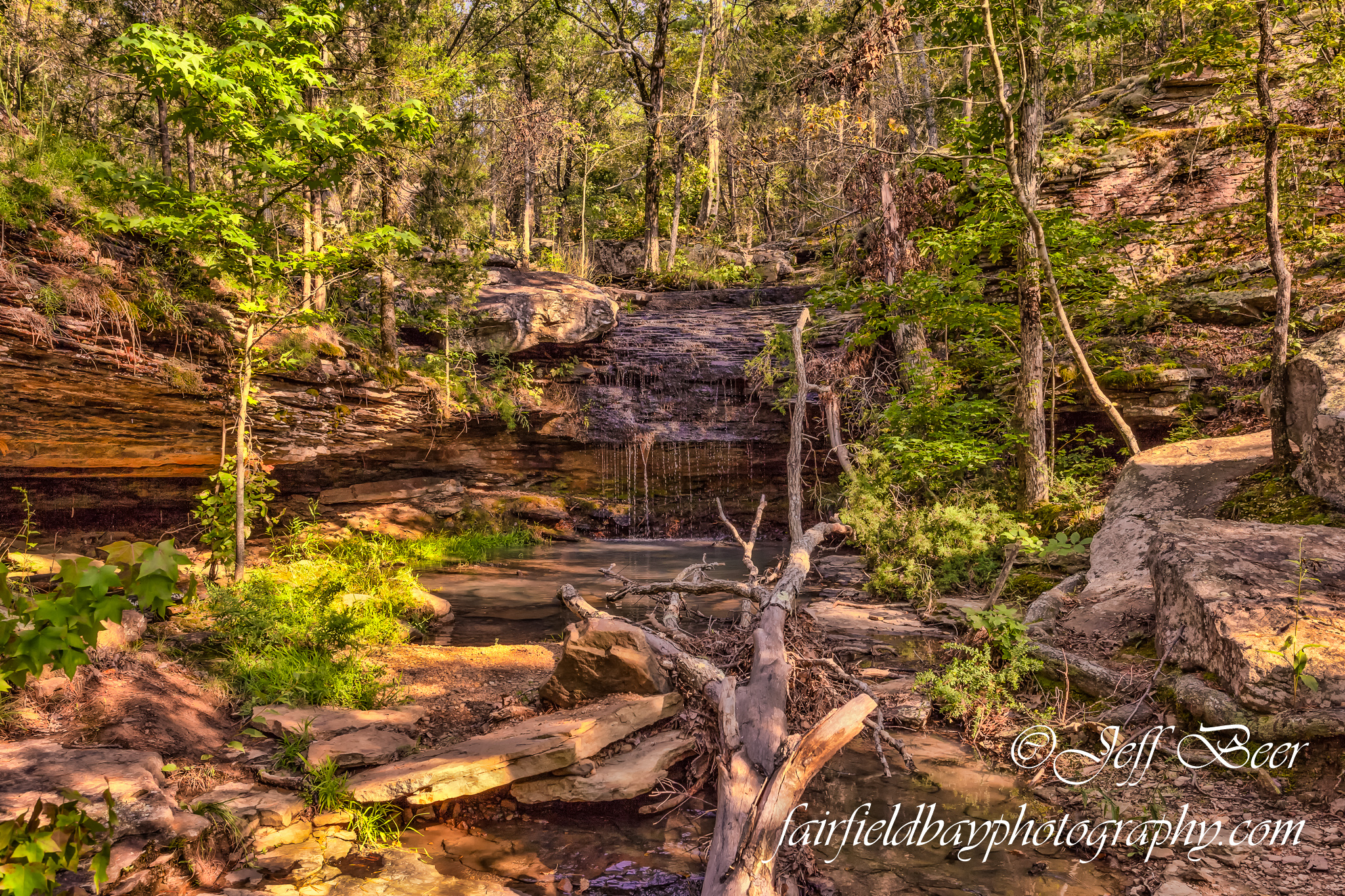
Indian Falls, Wild Horse Canyon
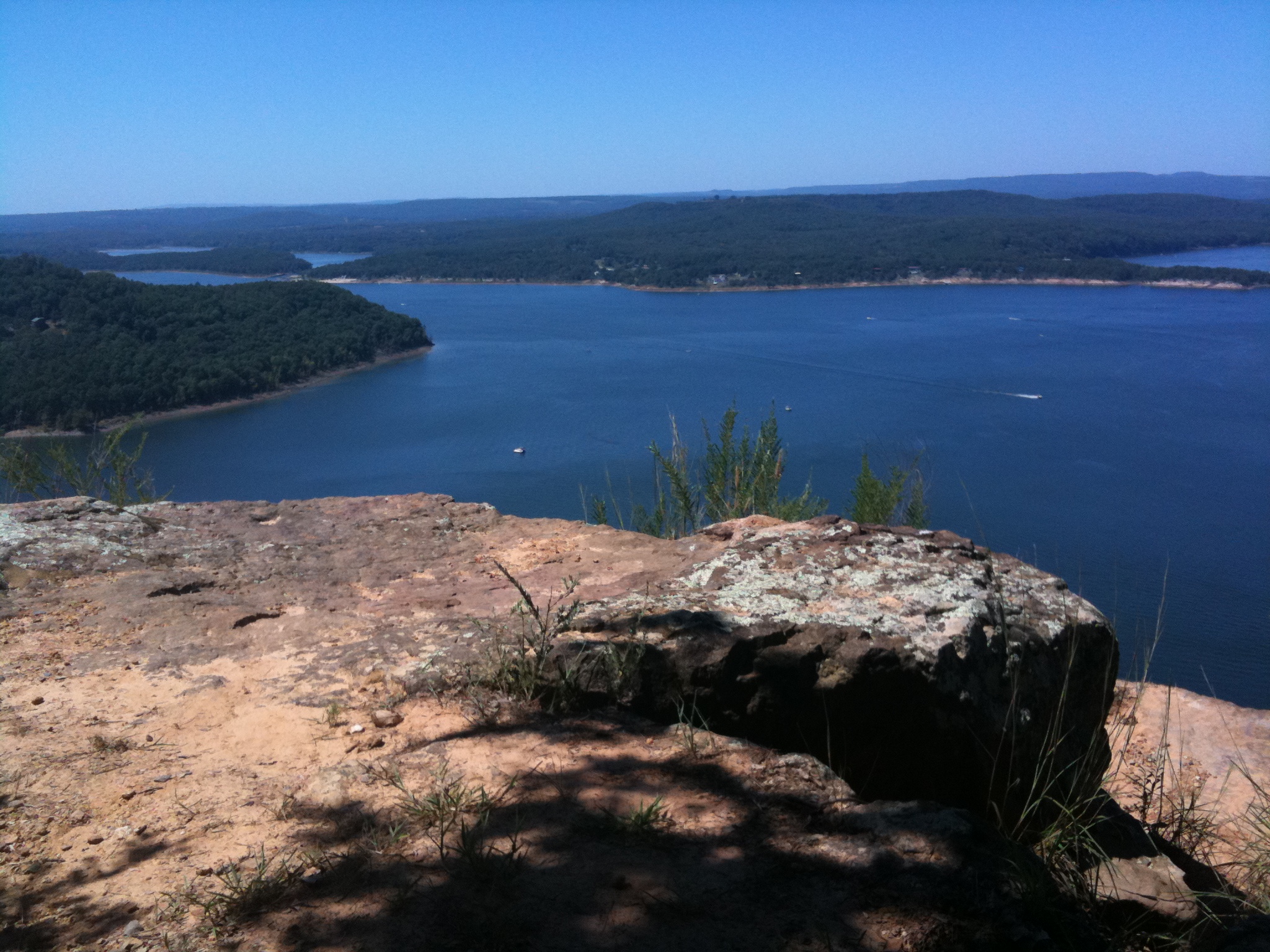
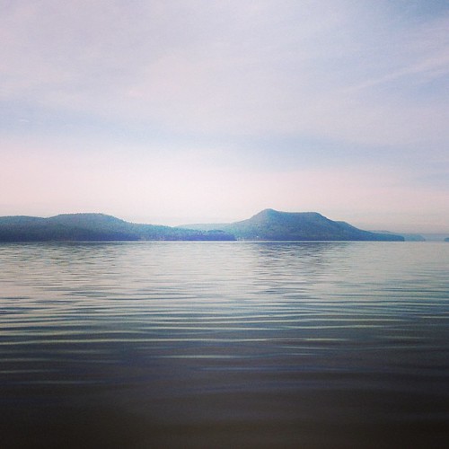
Greer's Ferry Lake
Hanging out. :-)
This weekend we took a ferry out on the lake to an mountain/island. It was a perfect opportunity for #whpfoggy
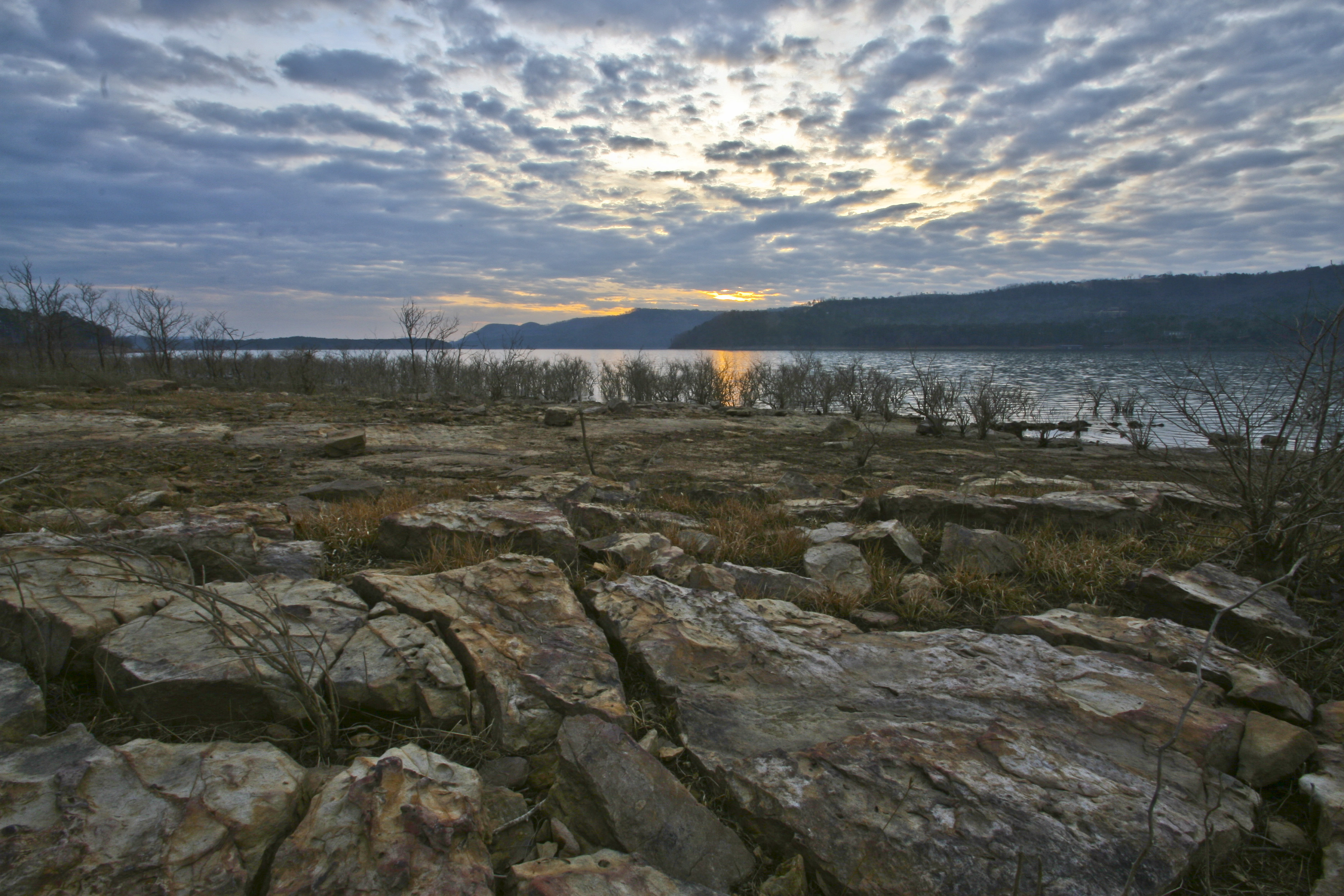
Choctaw Rec Area Sunrise
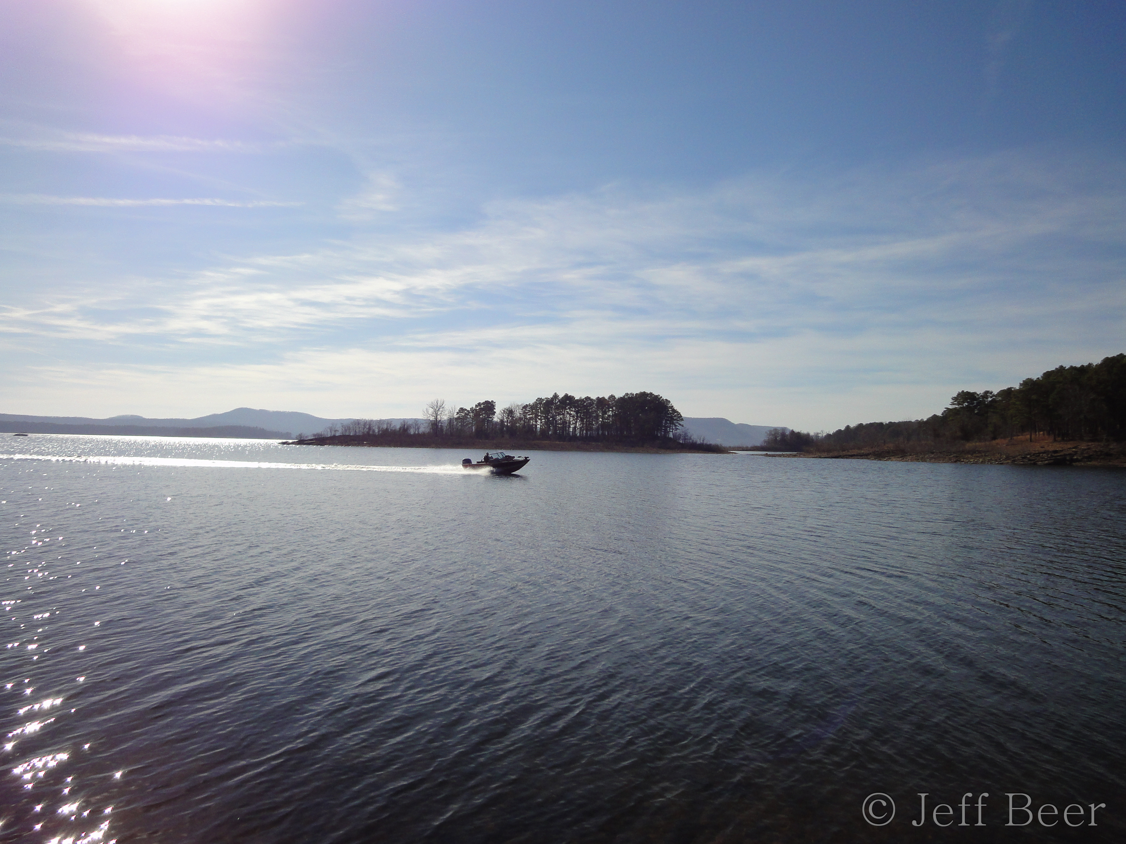
Greers Ferry Lake Arkansas (8 of 14).jpg
Natural Bridge
Topographic Map of Ar Hwy E, Choctaw, AR, USA
Find elevation by address:

Places near Ar Hwy E, Choctaw, AR, USA:
Choctaw
185 Pee Dee Rd
1160 State Hwy 330
180 Cedar Forest Ln
3100 Hwy 65 S
3100 Ar-9
427 Ar 336 Hwy W
Choctaw Township
135 Ballard Ln
Gr Tree Rd, Bee Branch, AR, USA
157 Nathaniel Cove
225 South St
240 South St
311 Yellowjacket Ln
Clinton Senior Center
242 Water Rd
168 Court St
Clinton
208 Court St
470 Main St
Recent Searches:
- Elevation of Corso Fratelli Cairoli, 35, Macerata MC, Italy
- Elevation of Tallevast Rd, Sarasota, FL, USA
- Elevation of 4th St E, Sonoma, CA, USA
- Elevation of Black Hollow Rd, Pennsdale, PA, USA
- Elevation of Oakland Ave, Williamsport, PA, USA
- Elevation of Pedrógão Grande, Portugal
- Elevation of Klee Dr, Martinsburg, WV, USA
- Elevation of Via Roma, Pieranica CR, Italy
- Elevation of Tavkvetili Mountain, Georgia
- Elevation of Hartfords Bluff Cir, Mt Pleasant, SC, USA