Elevation of AR-80, Danville, AR, USA
Location: United States > Arkansas > Yell County > Dutch Creek Township >
Longitude: -93.617079
Latitude: 34.9836234
Elevation: 130m / 427feet
Barometric Pressure: 100KPa
Elevation Map:
Satellite Map:
Related Photos:
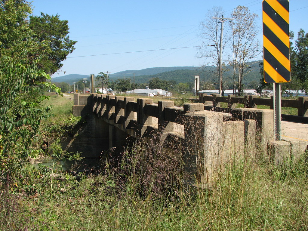
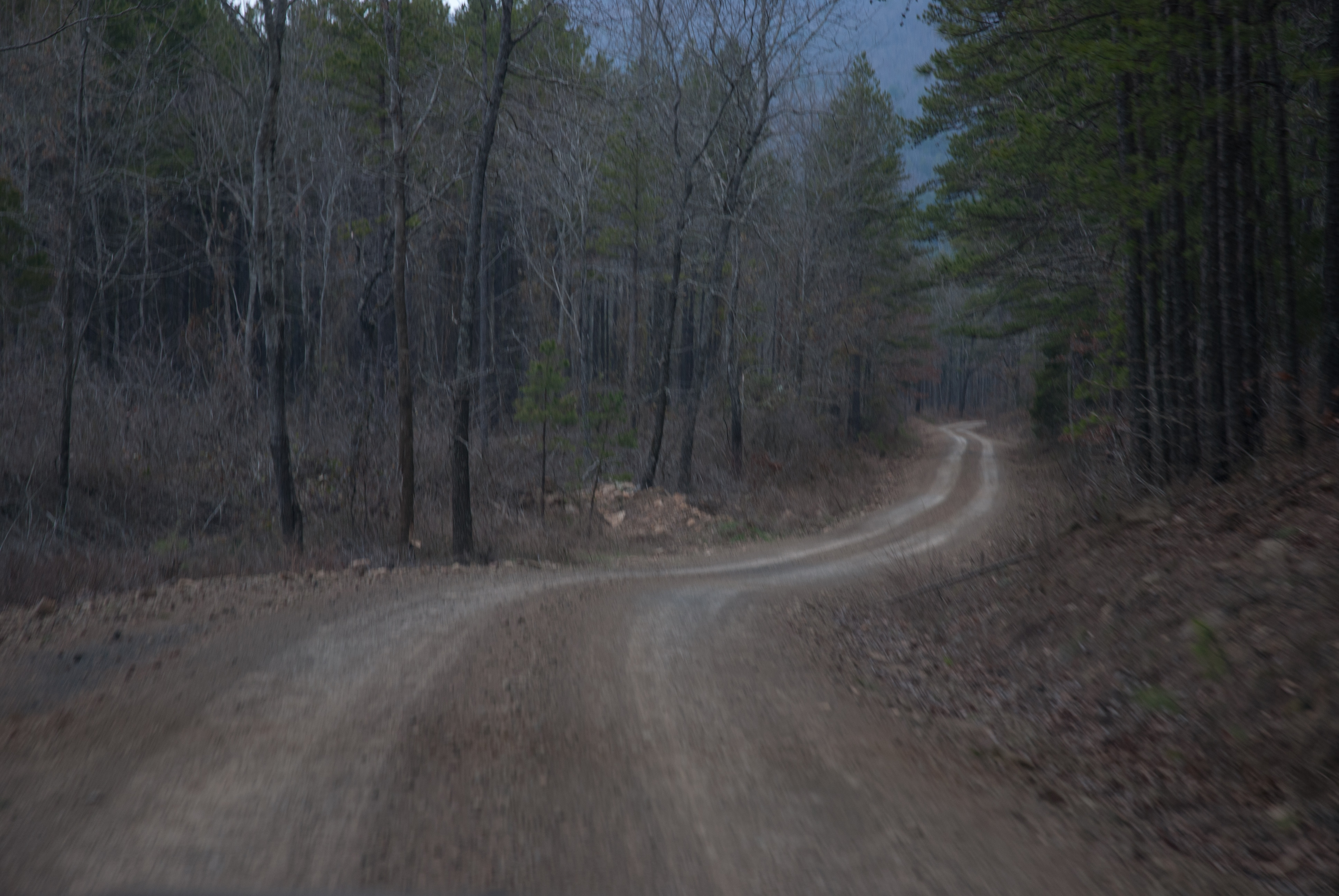
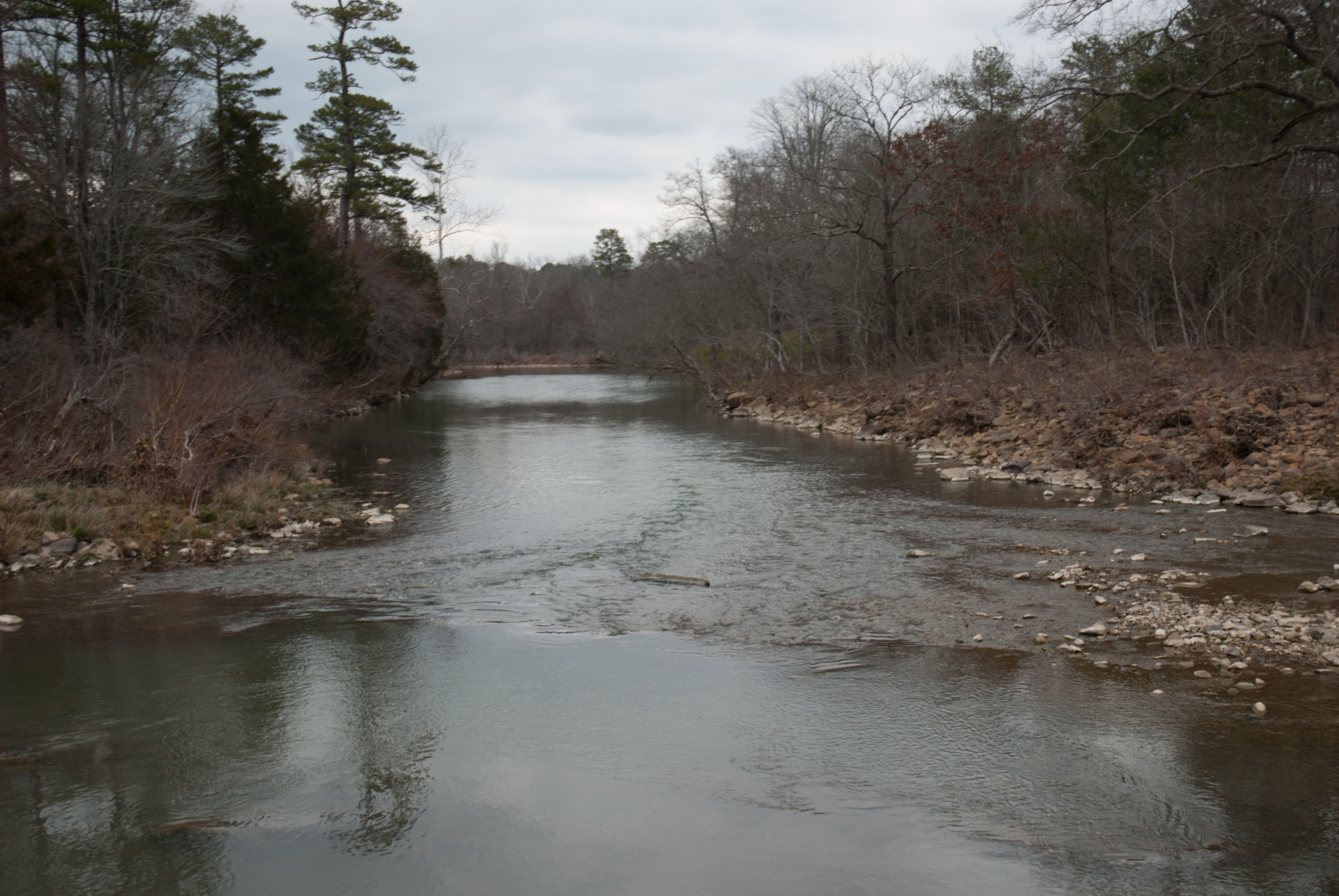
Freedom Creek-Side View
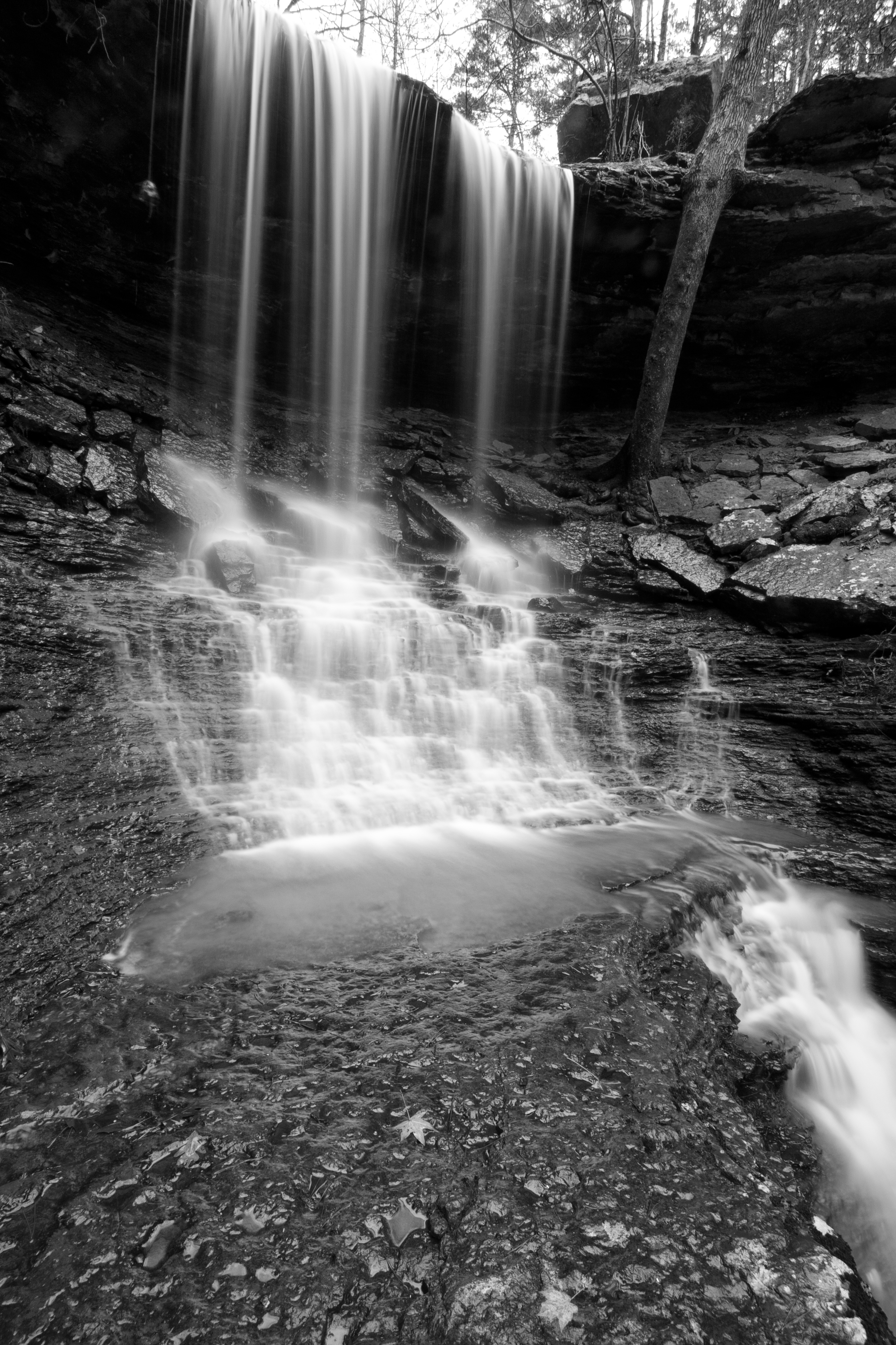
Mitchell Branch Falls 1
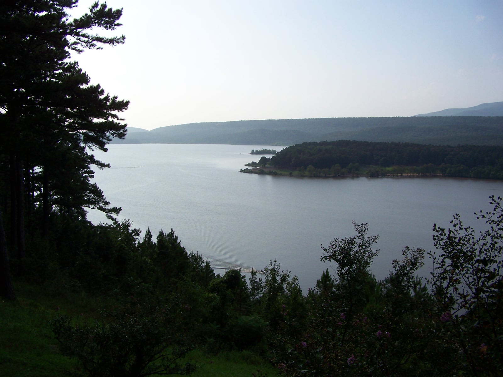
Blue Mountain Lake
2016-09-03-14-11-09
APR_0136.jpg
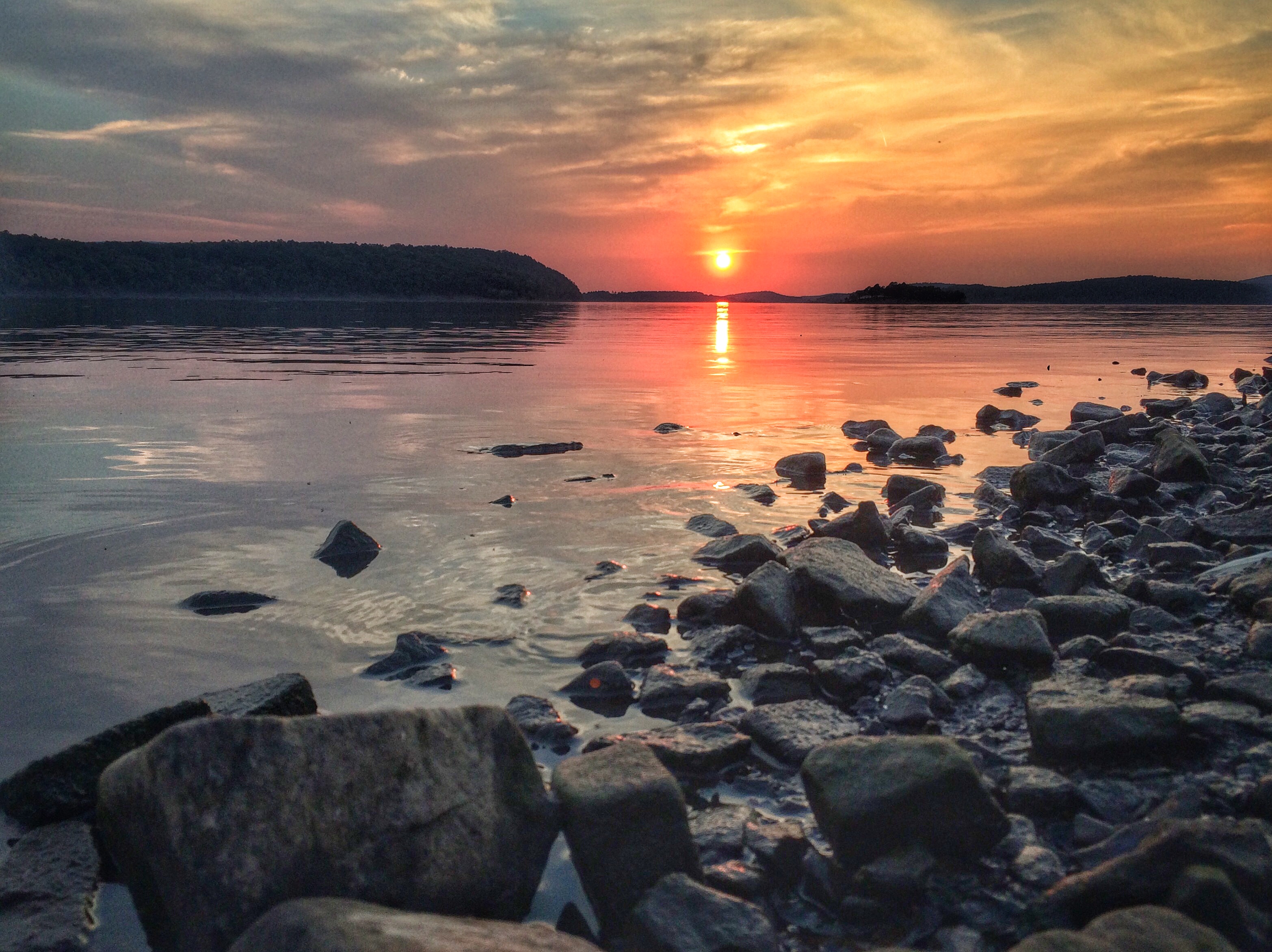
Sunset at Blue Mountain Lake
Mitchell Branch Falls 3
Mitchell Branch Falls 2
Sunset at Blue Mtn Lake 2.16.14
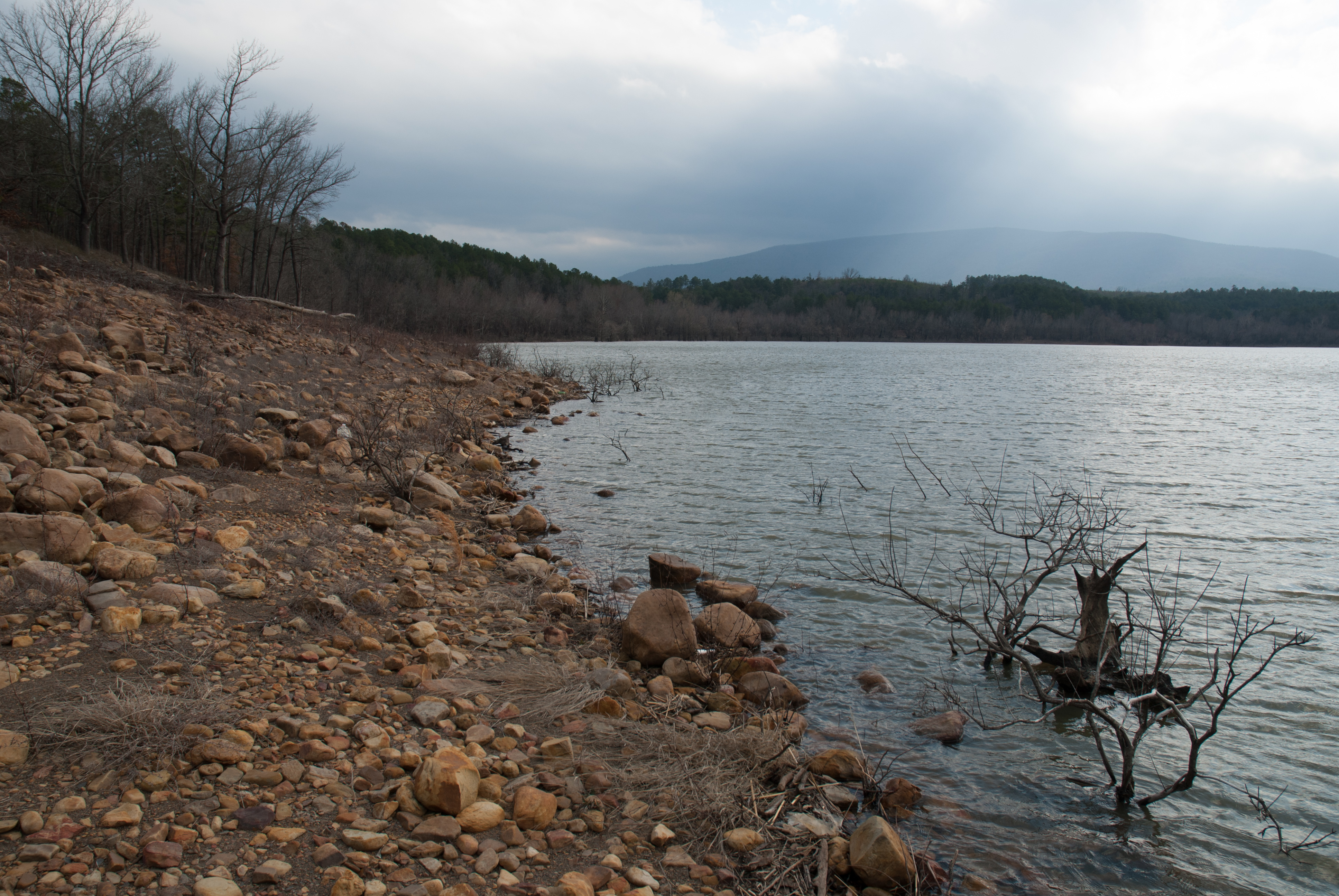
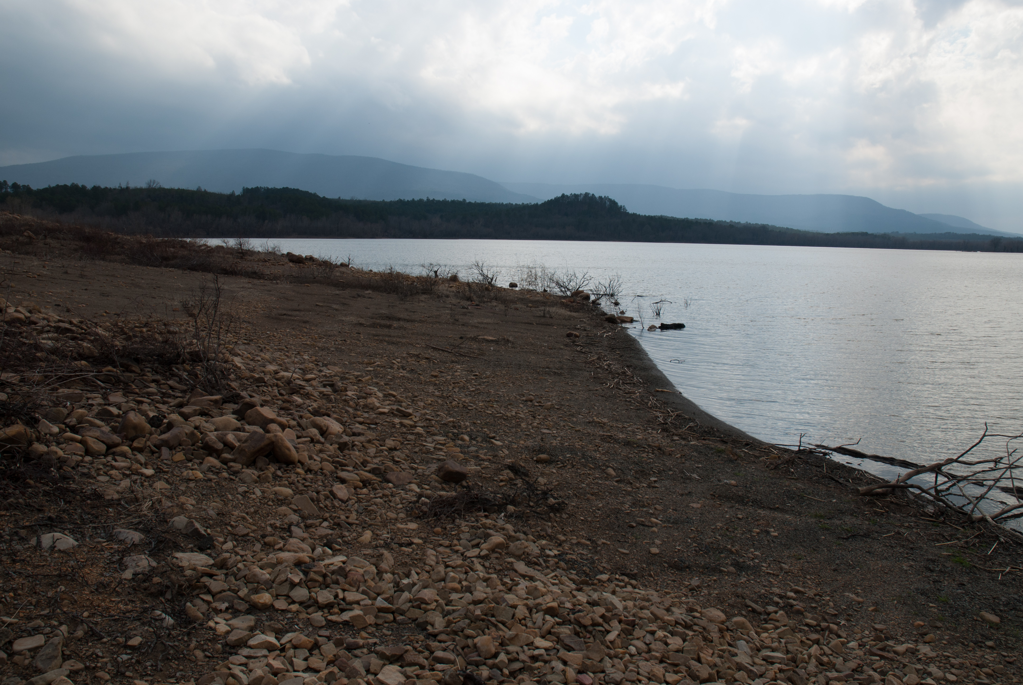
Blue Mountain Lake, Arkansas
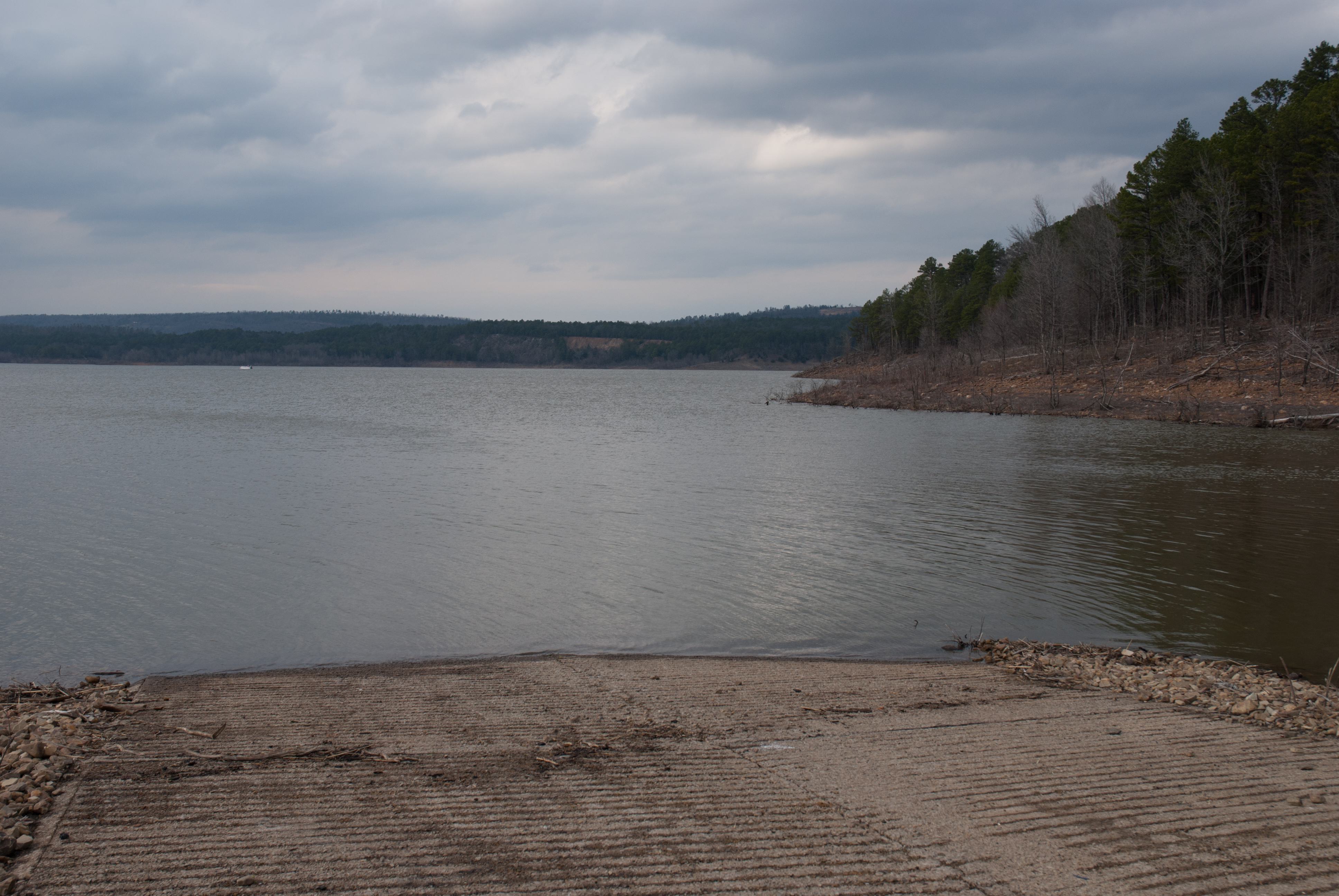
Blue Mountain Lake, Arkansas
APR_0129.jpg

Blue Mountain Lake, Arkansas
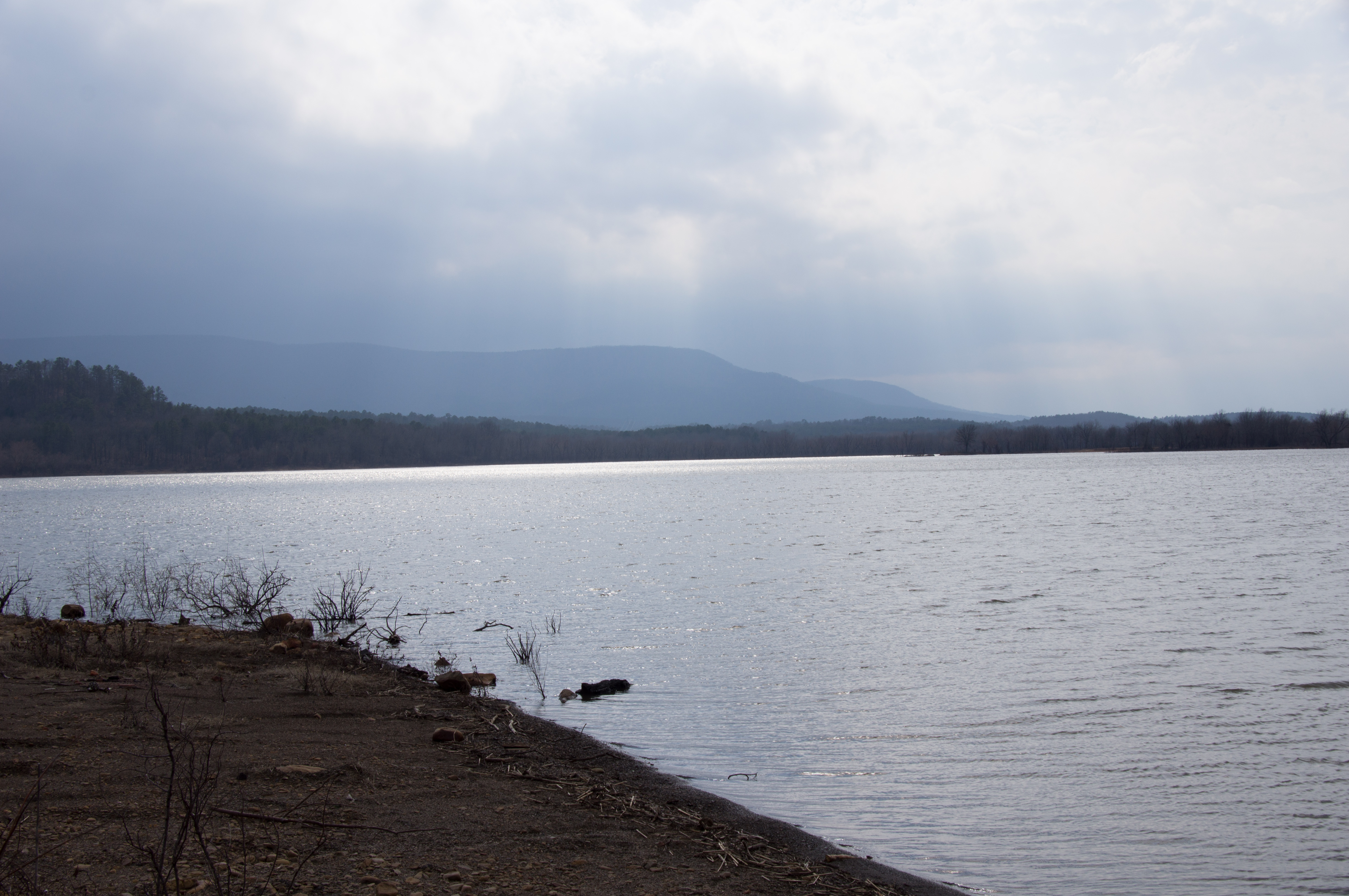
Blue Mountain Lake, Arkansas
APR_0131.jpg
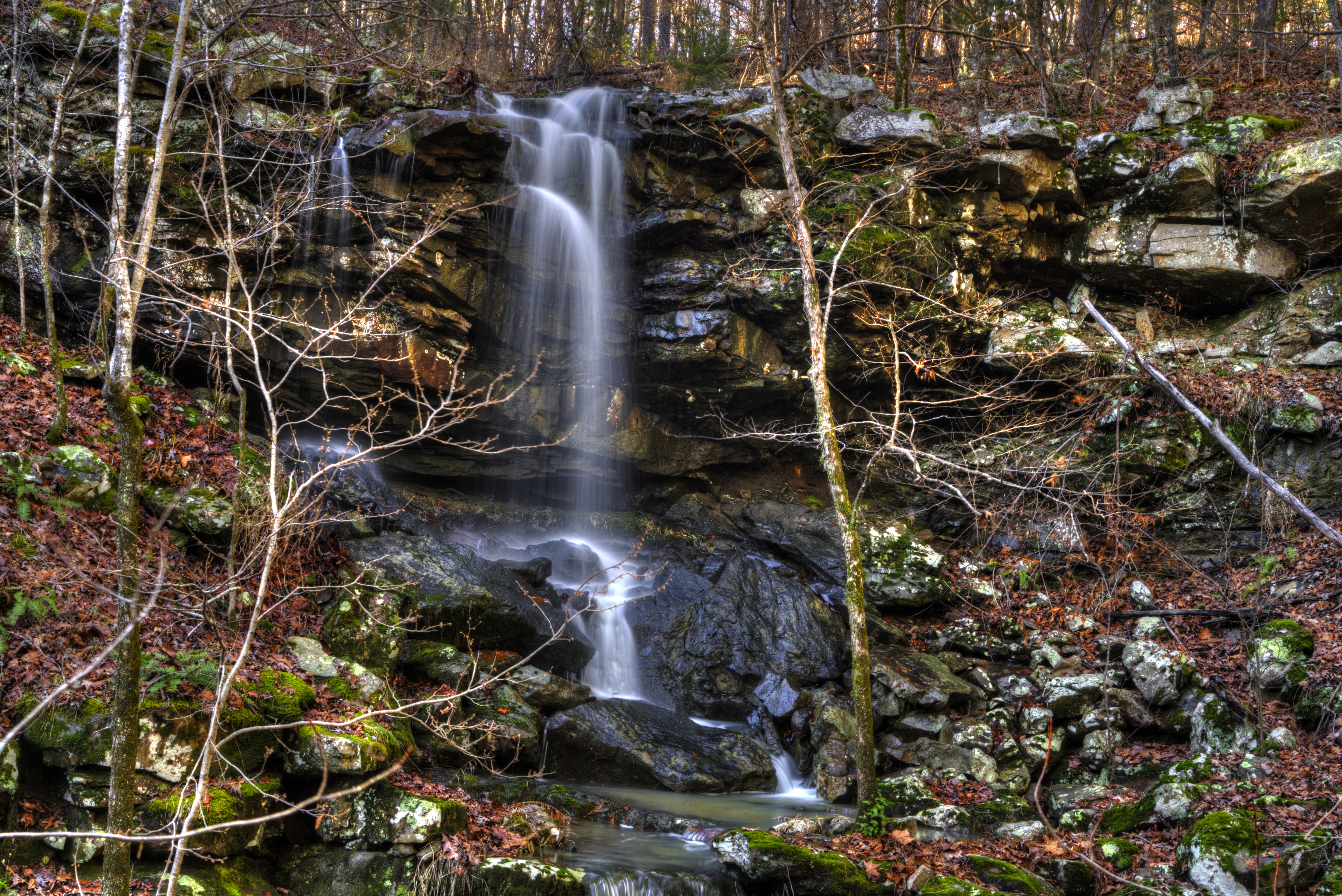
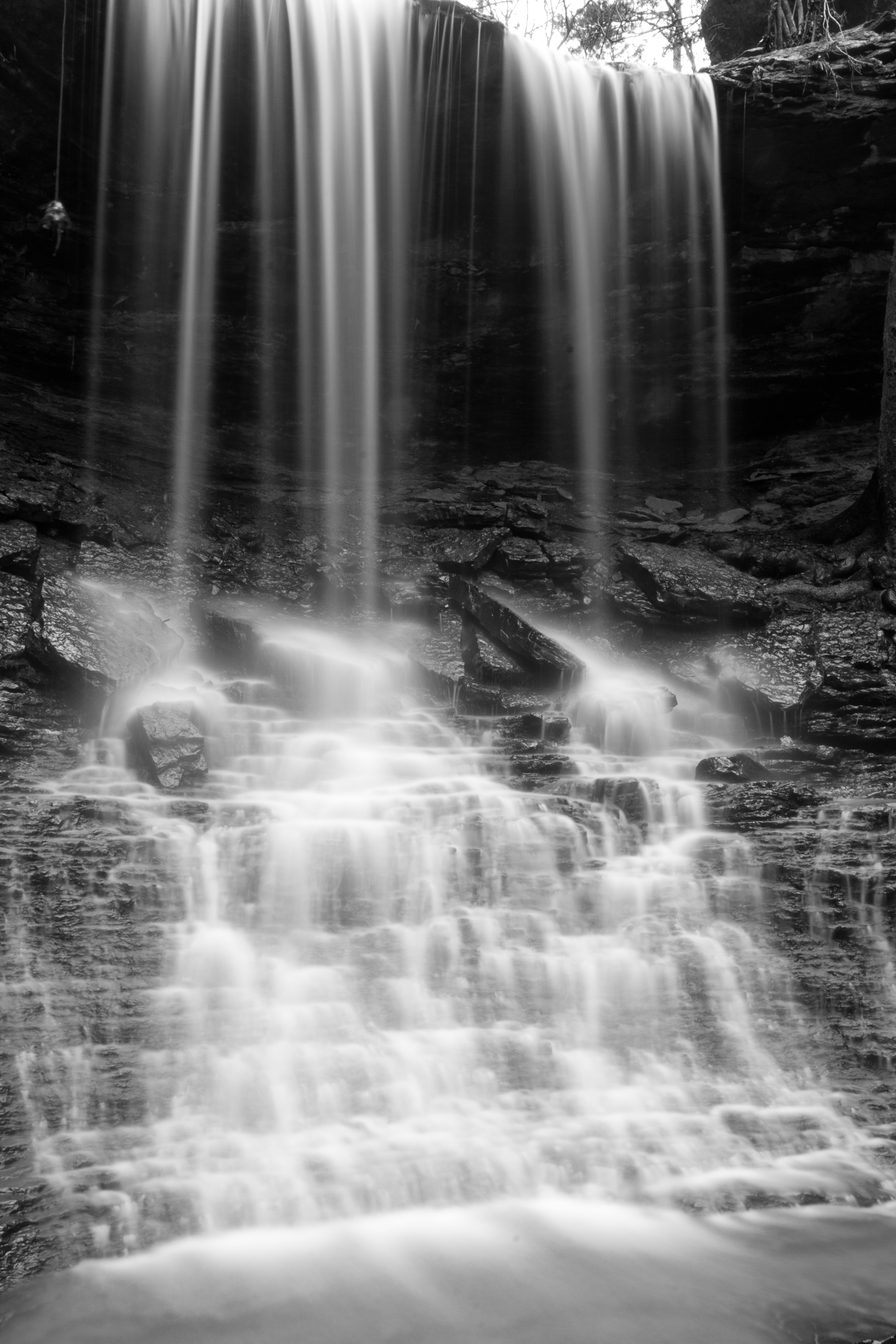
Mitchell Branch Falls
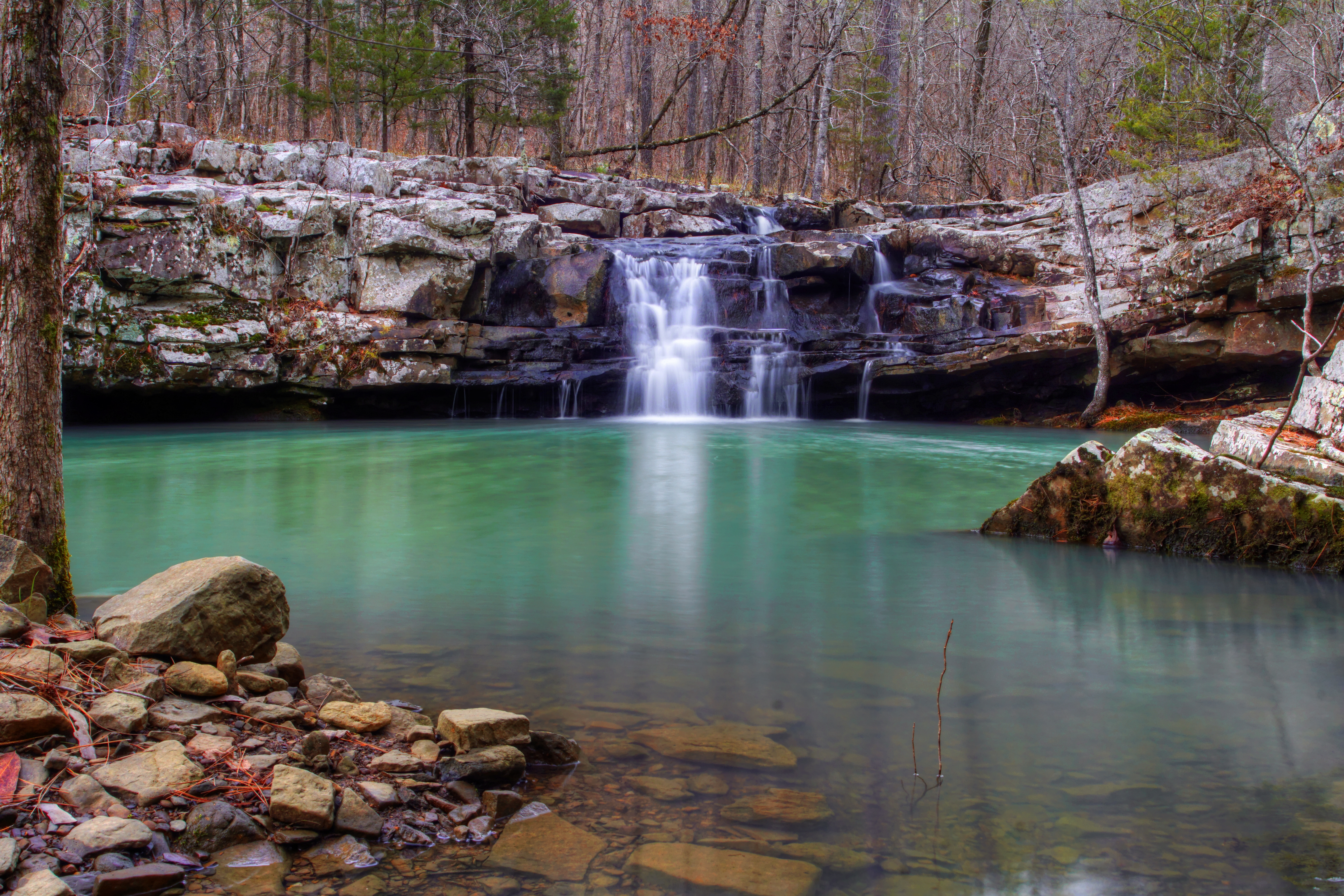
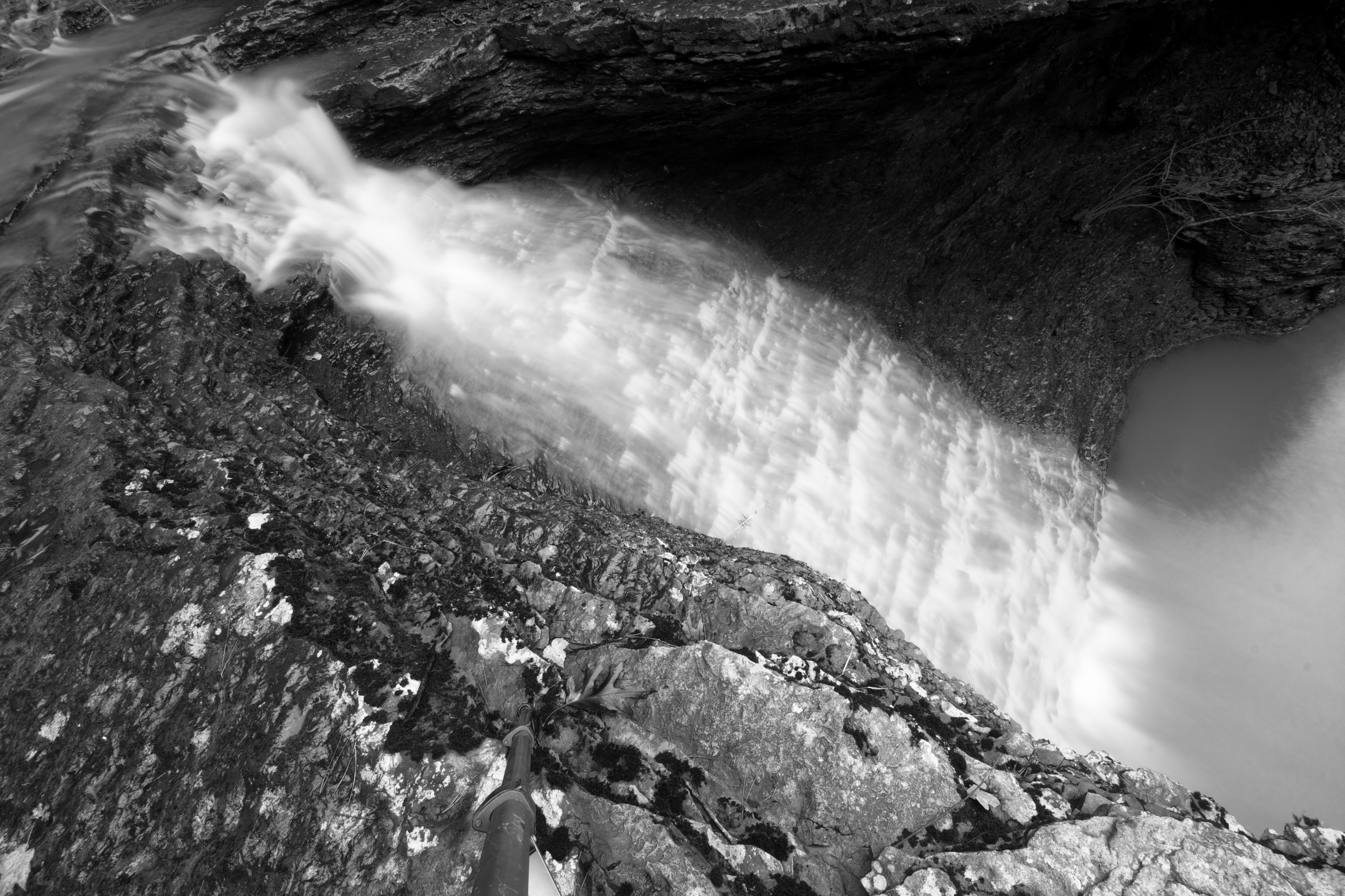
Mitchell Branch Falls
Blue Mountain Lake, Arkansas
Topographic Map of AR-80, Danville, AR, USA
Find elevation by address:

Places near AR-80, Danville, AR, USA:
AR-80, Danville, AR, USA
Dutch Creek Township
AR-80, Danville, AR, USA
Herring Township
AR-80, Danville, AR, USA
Briggsville Township
AR-, Havana, AR, USA
Briggsville
Hunt Township
AR-80, Danville, AR, USA
Havana
Main St, Havana, AR, USA
W State Hwy 28, Rover, AR, USA
Petit Jean Township
Riley Township
Arkansas 80
Logan St, Blue Mountain, AR, USA
Blue Mountain
Blue Mountain Township
Ions Creek Township
Recent Searches:
- Elevation of Corso Fratelli Cairoli, 35, Macerata MC, Italy
- Elevation of Tallevast Rd, Sarasota, FL, USA
- Elevation of 4th St E, Sonoma, CA, USA
- Elevation of Black Hollow Rd, Pennsdale, PA, USA
- Elevation of Oakland Ave, Williamsport, PA, USA
- Elevation of Pedrógão Grande, Portugal
- Elevation of Klee Dr, Martinsburg, WV, USA
- Elevation of Via Roma, Pieranica CR, Italy
- Elevation of Tavkvetili Mountain, Georgia
- Elevation of Hartfords Bluff Cir, Mt Pleasant, SC, USA