Elevation of AR-80, Danville, AR, USA
Location: United States > Arkansas > Scott County > Hunt Township >
Longitude: -93.710913
Latitude: 34.9605427
Elevation: 148m / 486feet
Barometric Pressure: 100KPa
Elevation Map:
Satellite Map:
Related Photos:
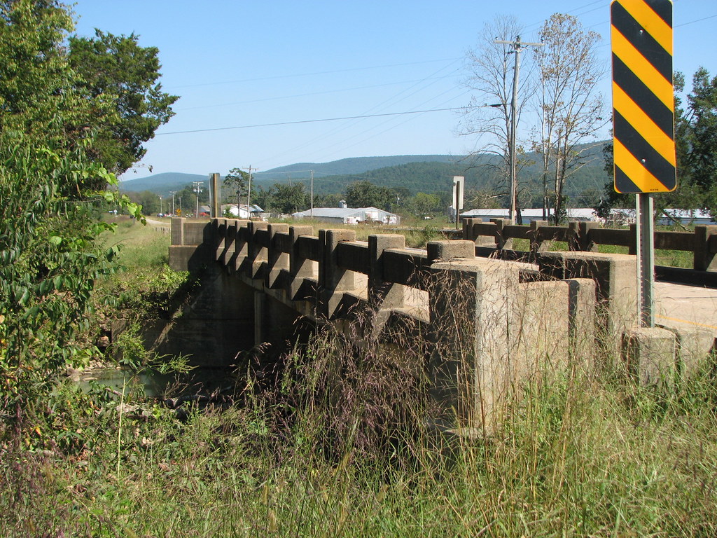
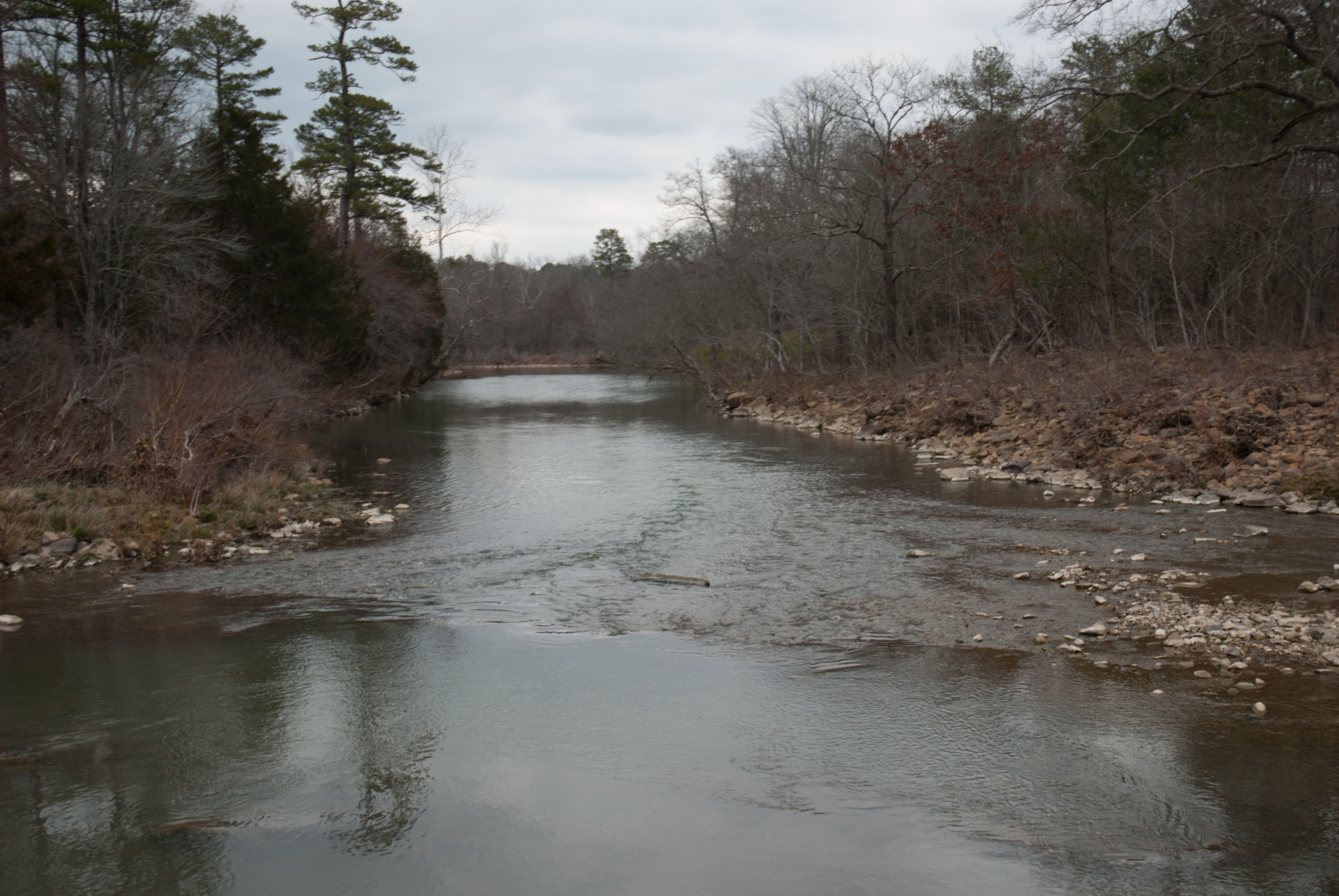
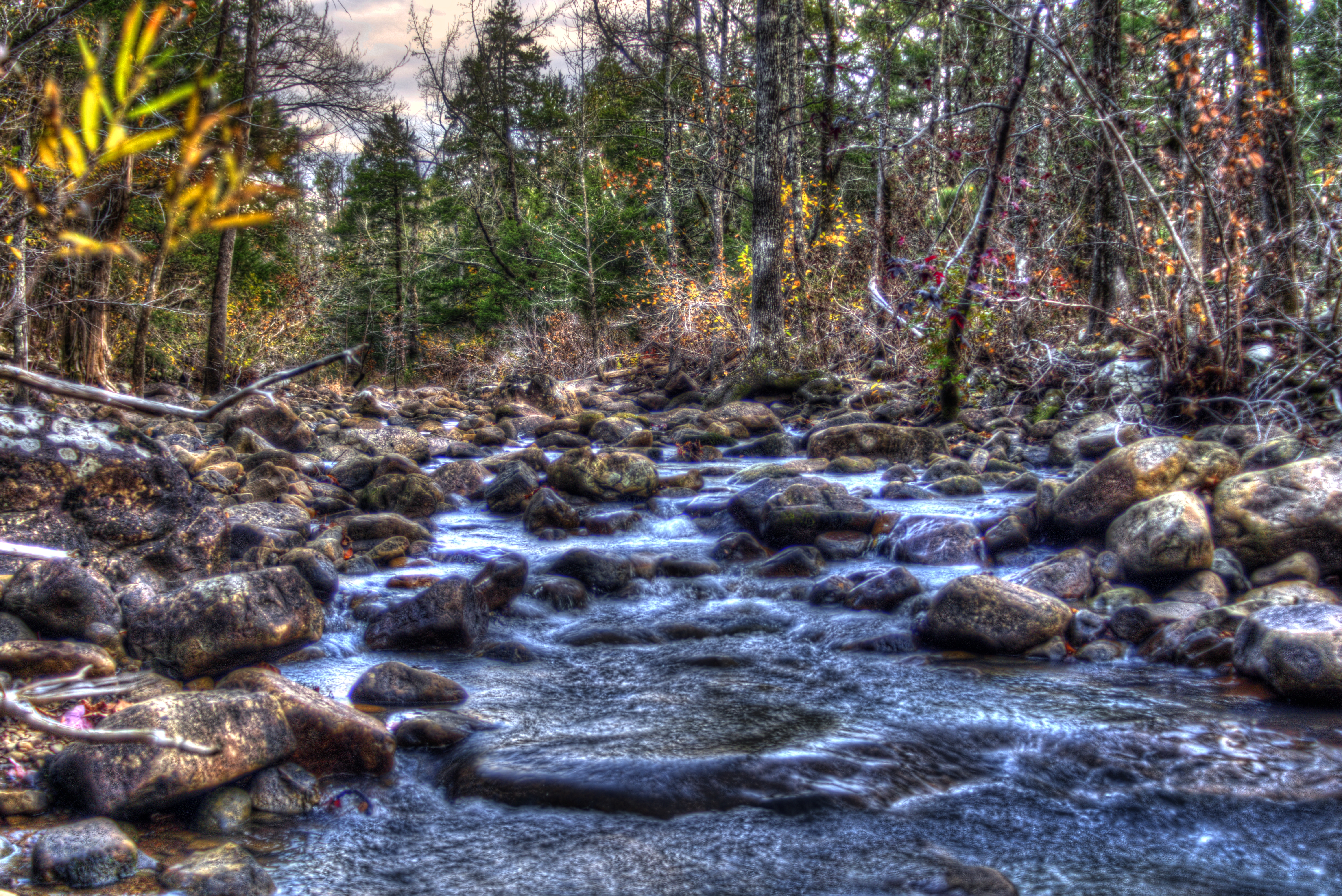
Freedom Creek-Side View
APR_0136.jpg
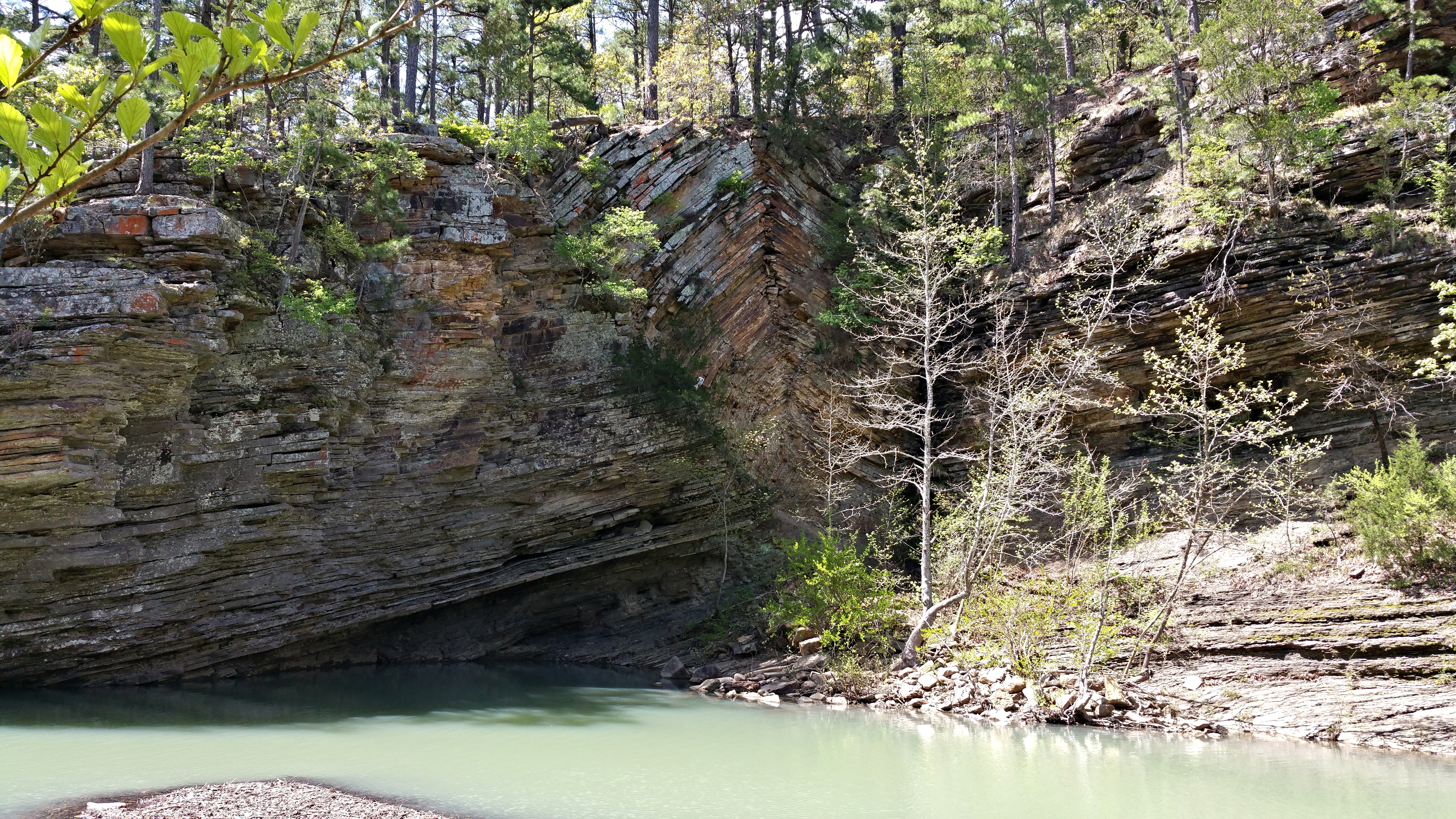
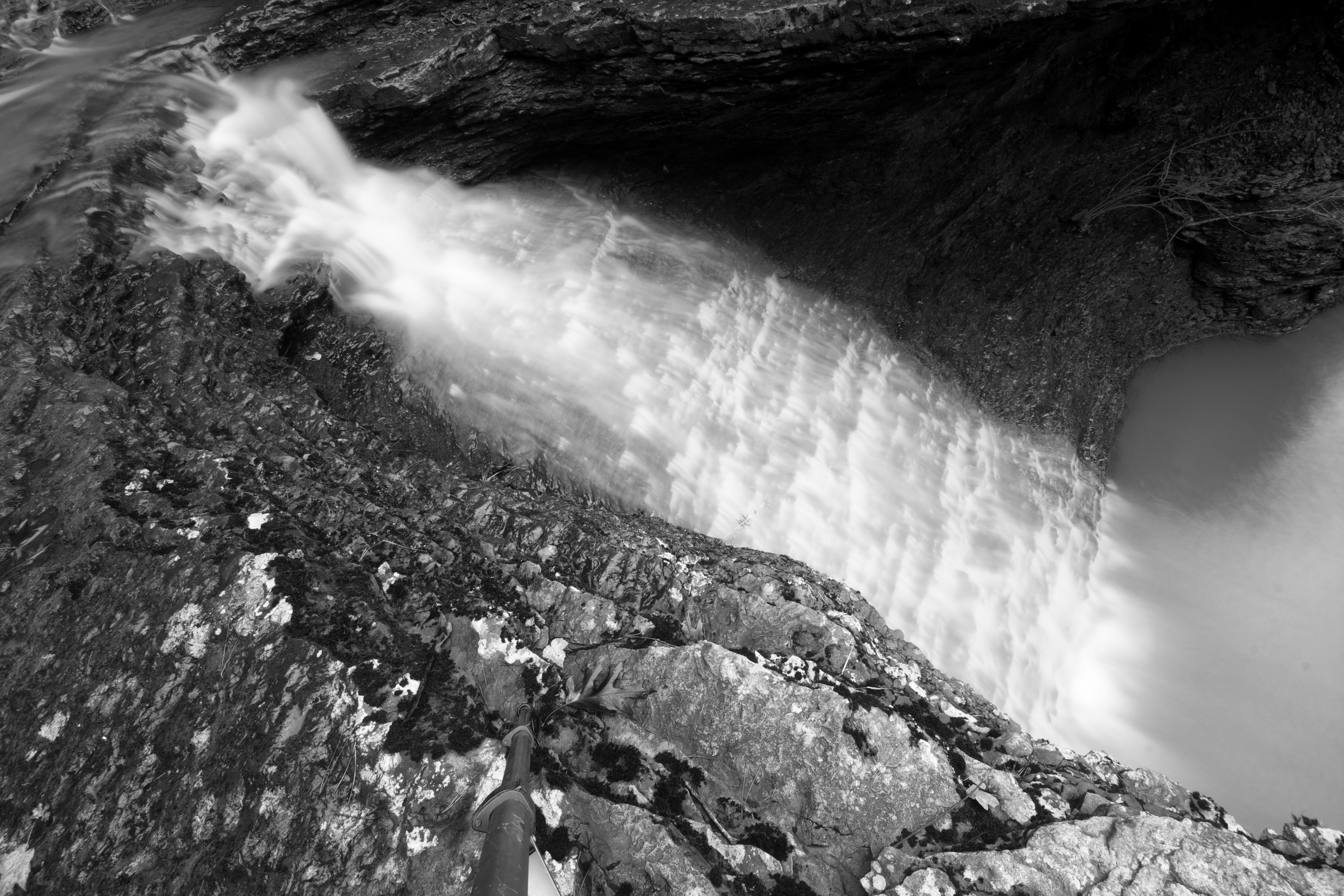
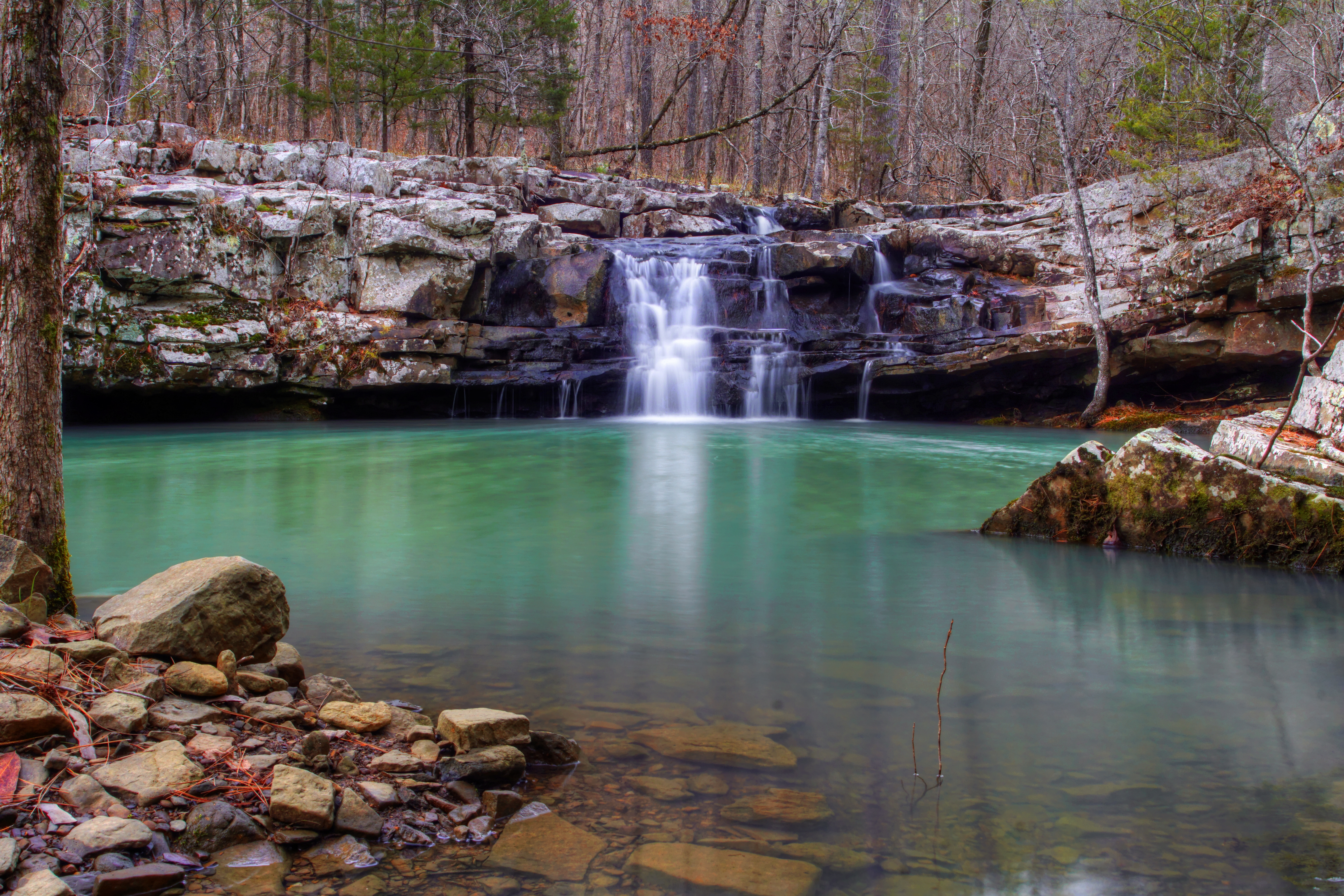
Bluff Hole
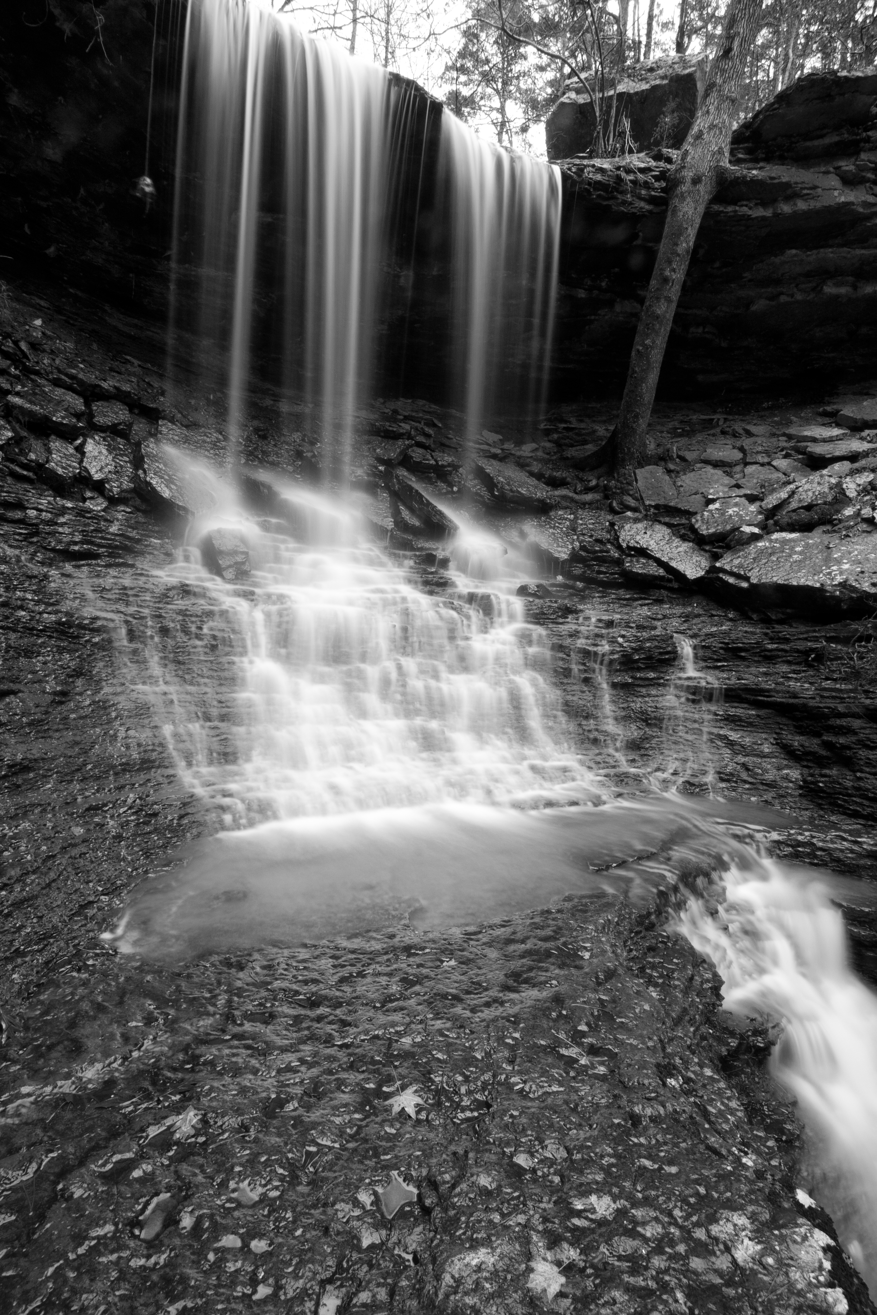
Mitchell Branch Falls 1
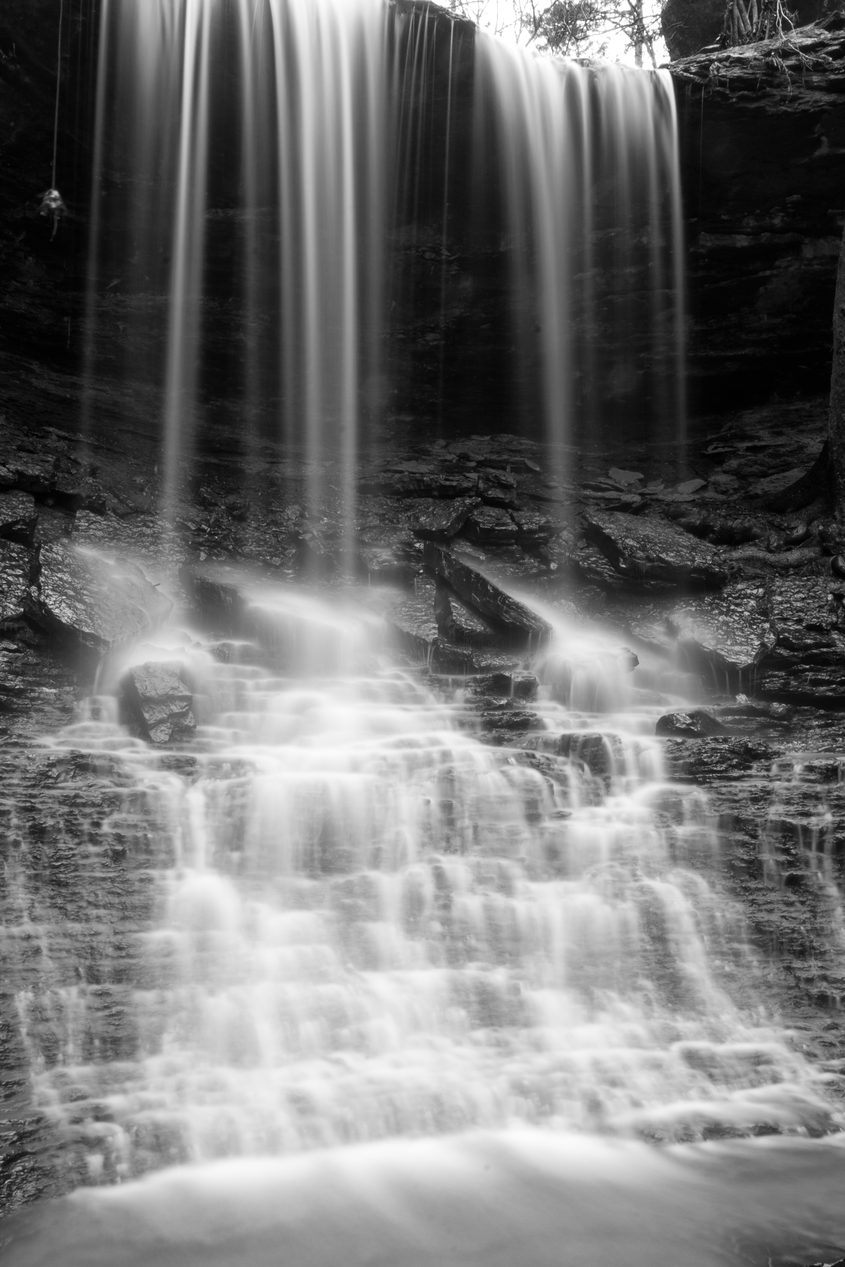
Mitchell Branch Falls 3
Mitchell Branch Falls 2
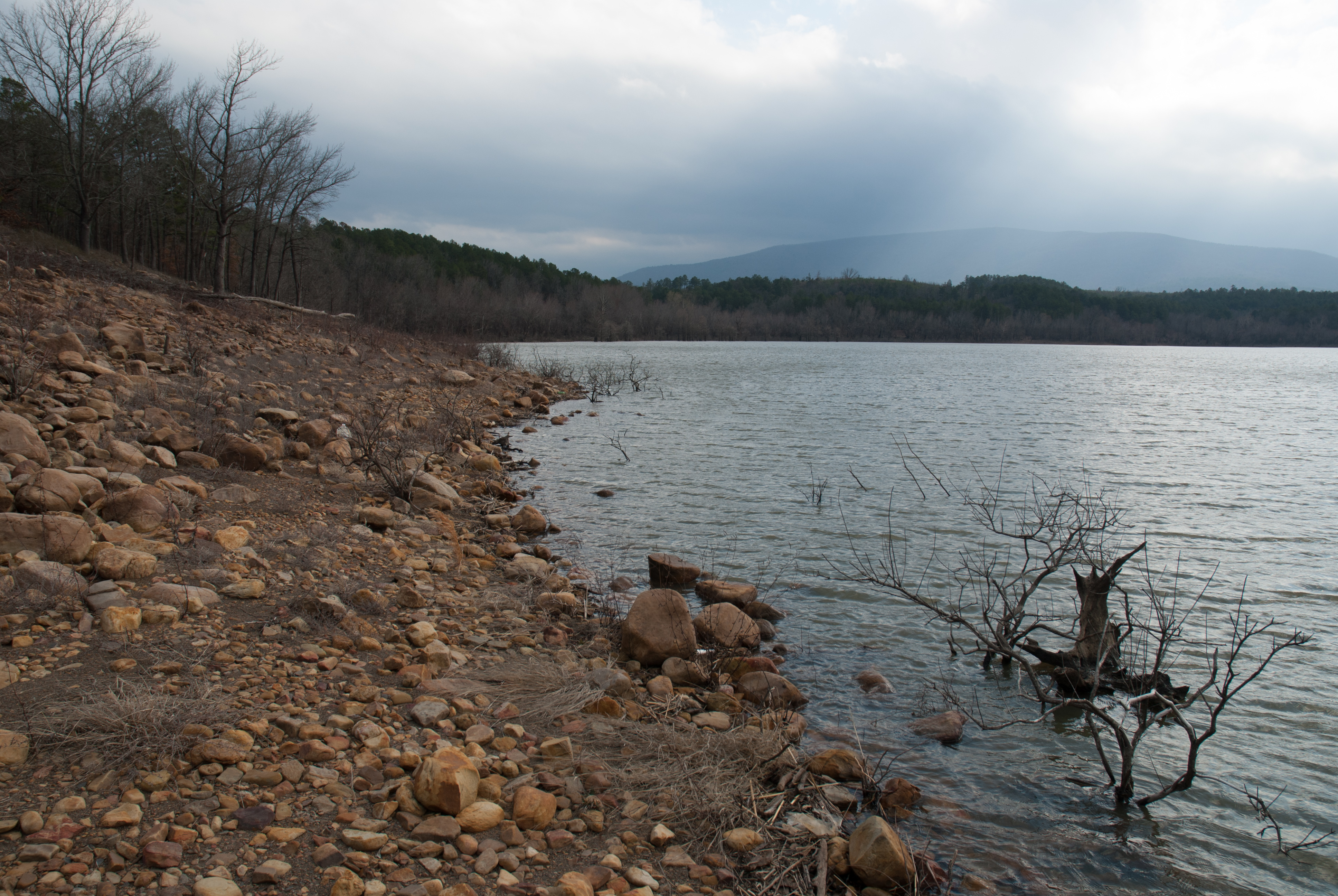
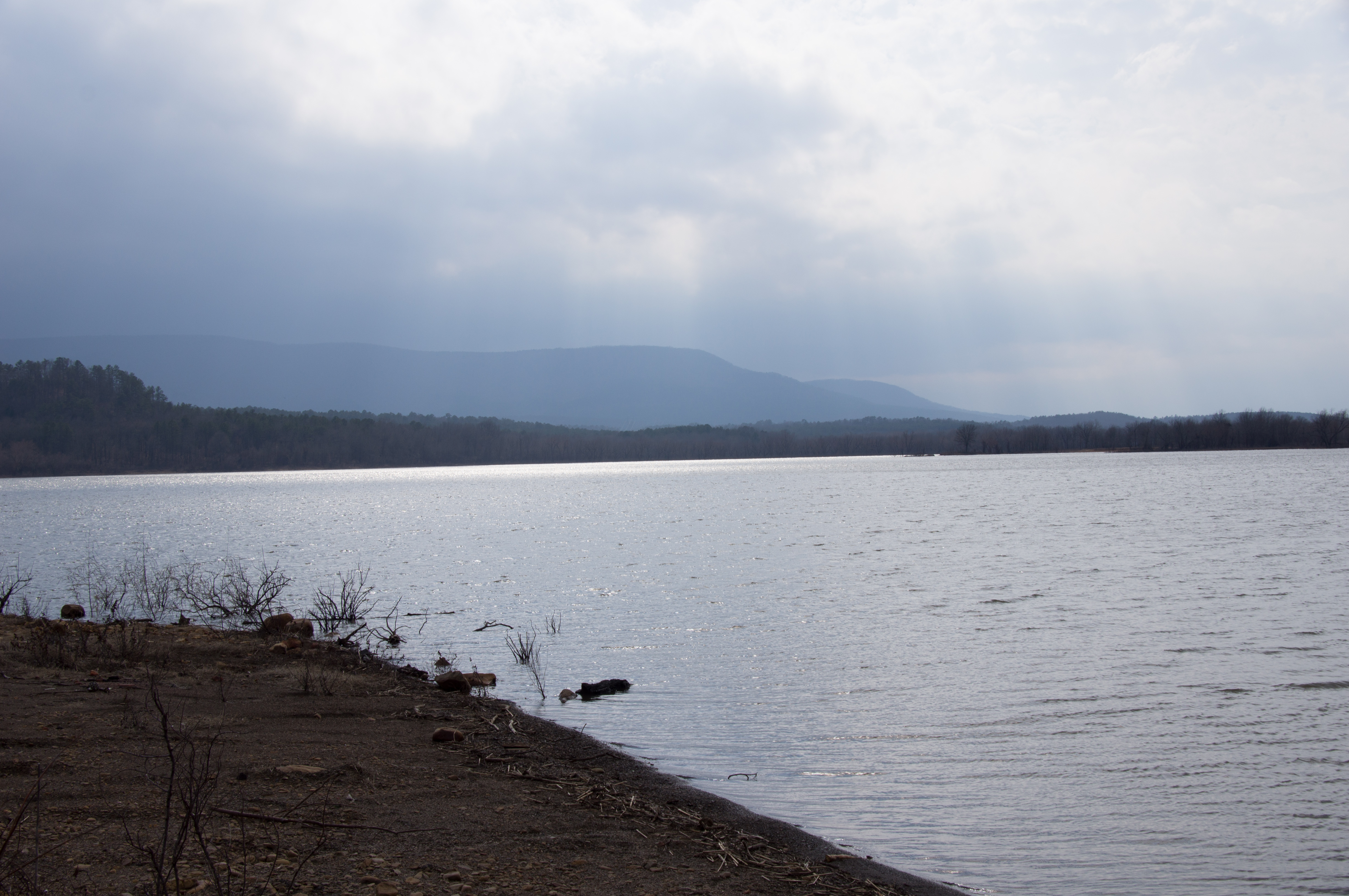
Blue Mountain Lake, Arkansas
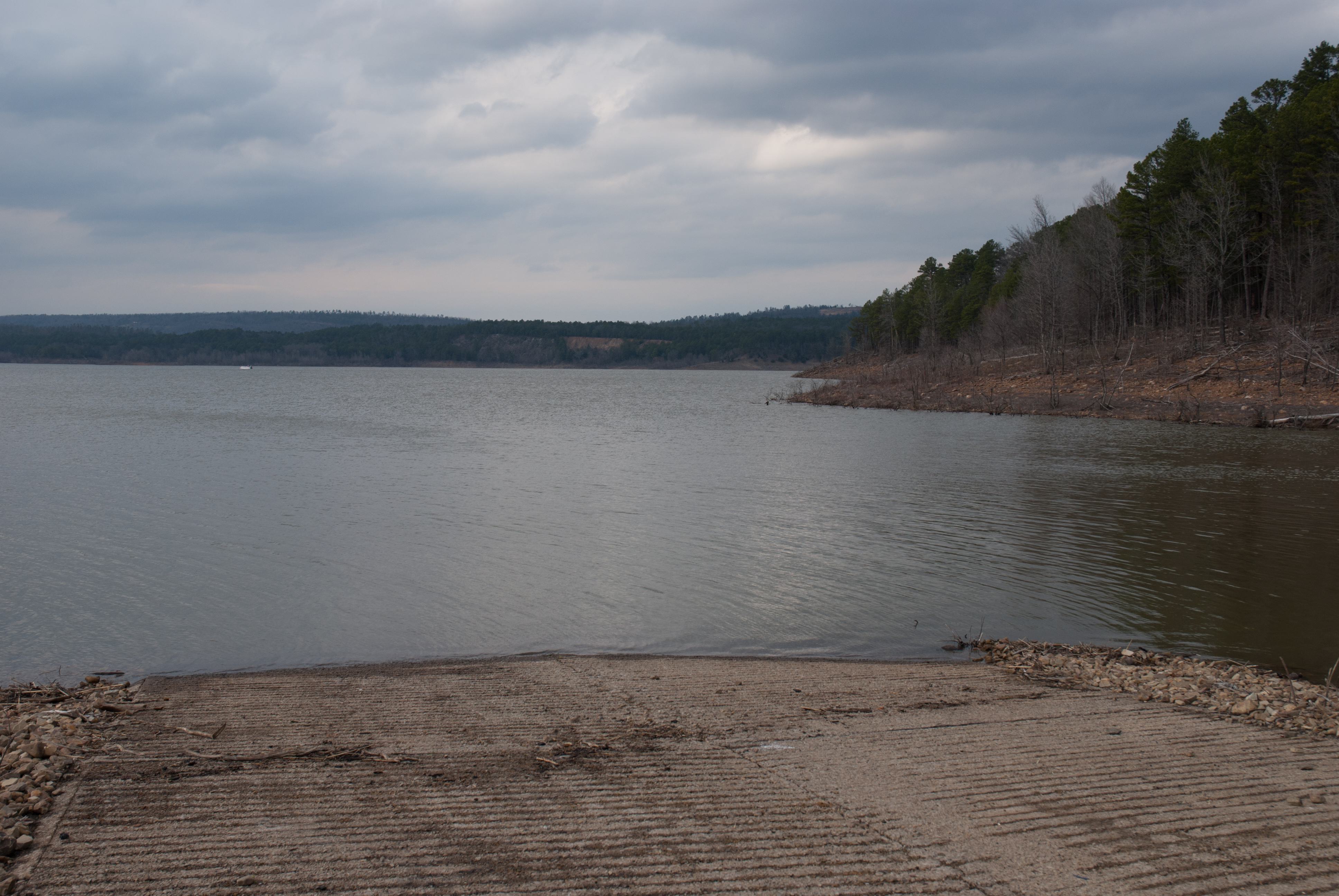
Blue Mountain Lake, Arkansas
APR_0129.jpg

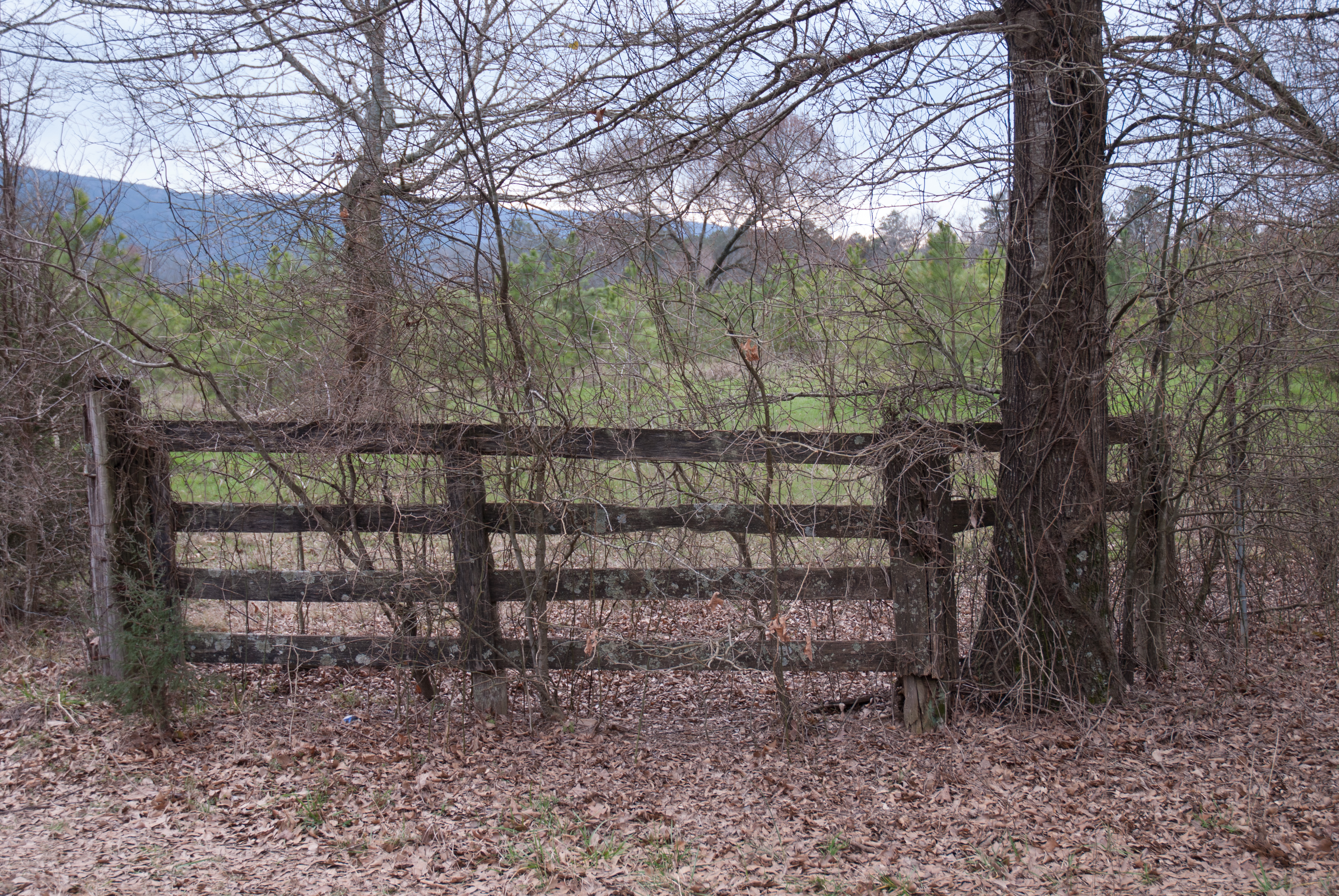
Jack Creek

Blue Mountain Lake, Arkansas
Blue Mountain Lake, Arkansas
APR_0131.jpg
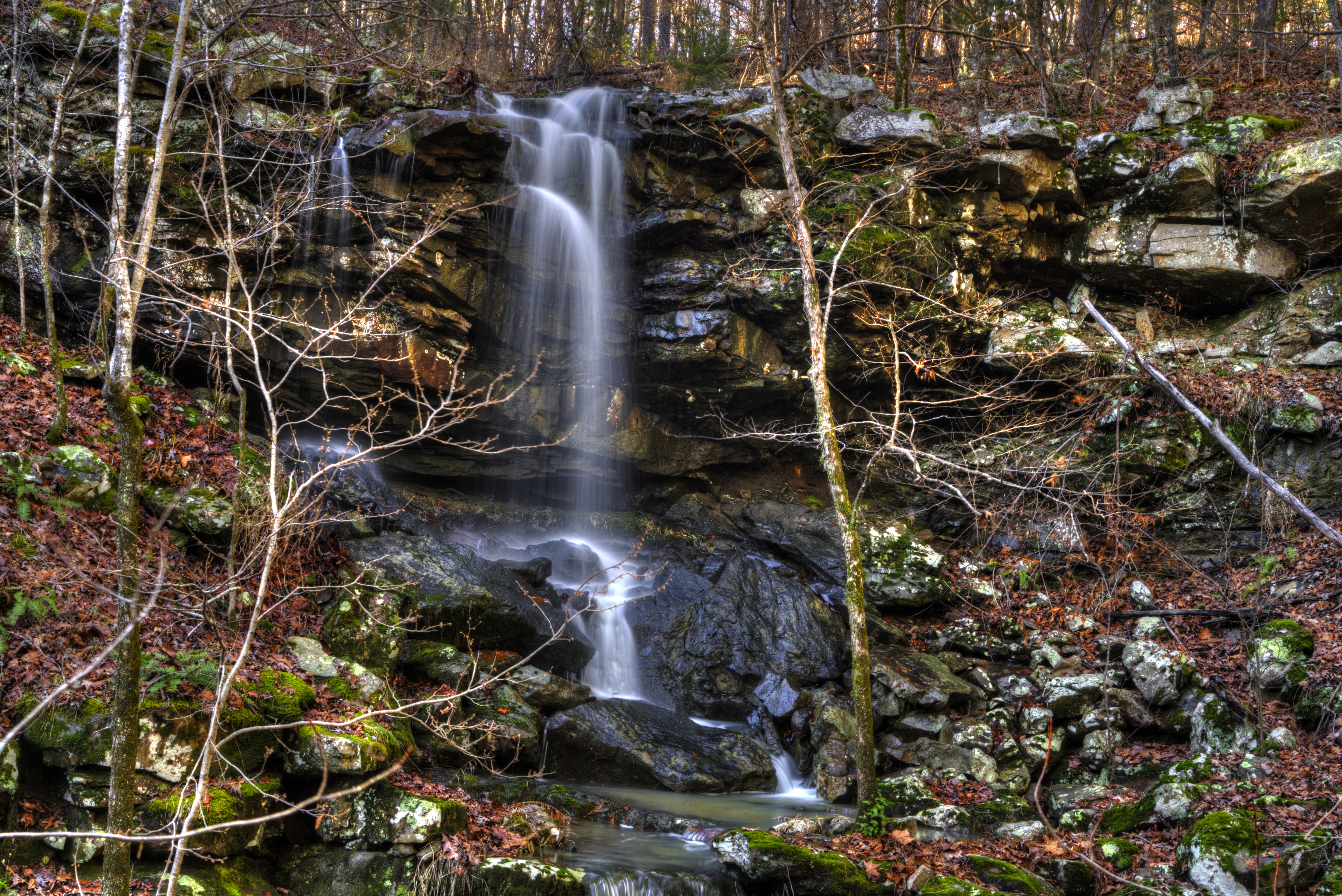
Mitchell Branch Falls
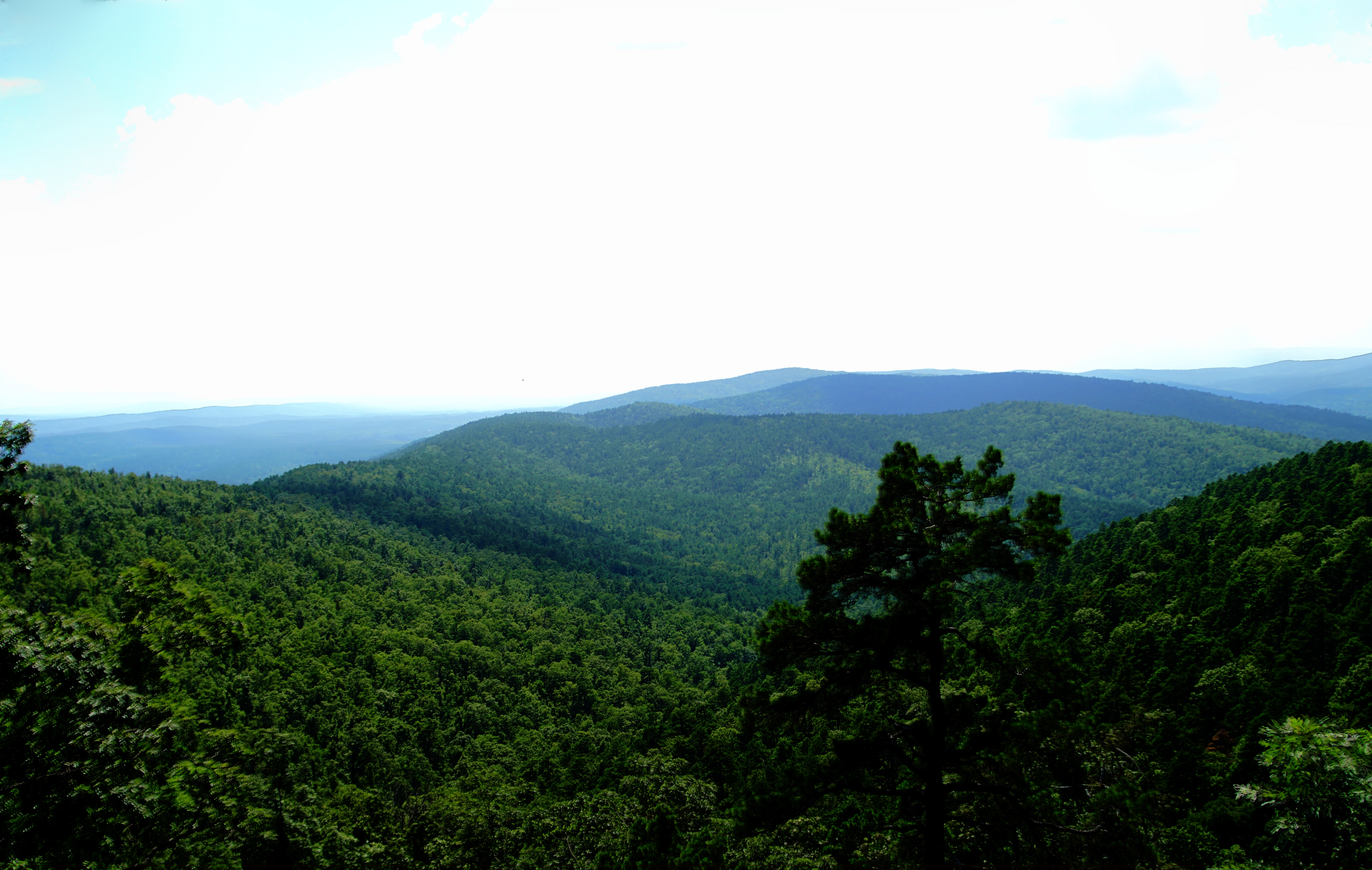
Hole in The Ground Mountian
Mitchell Branch Falls
Kingdoodle Knob
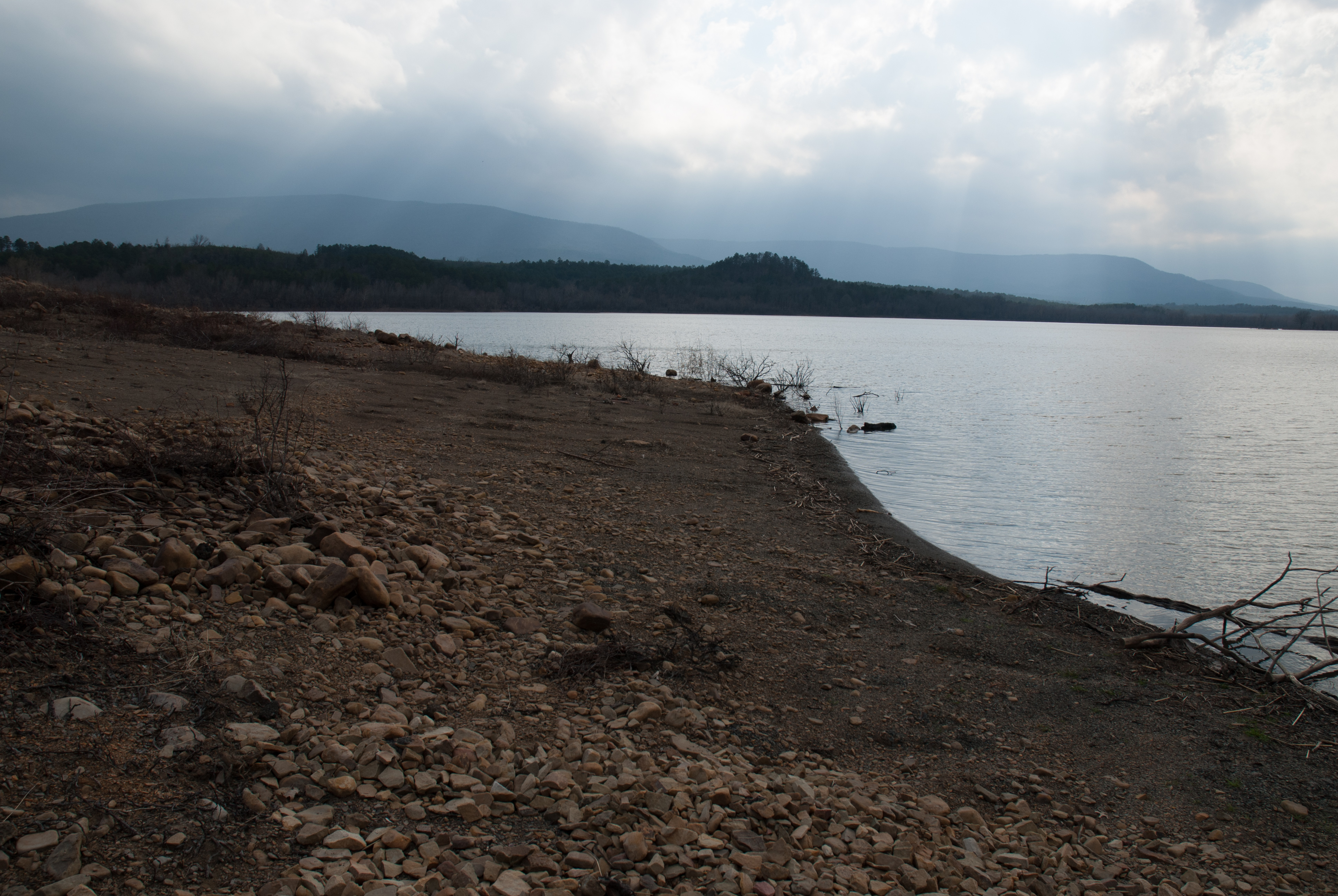
Blue Mountain Lake, Arkansas
Topographic Map of AR-80, Danville, AR, USA
Find elevation by address:

Places near AR-80, Danville, AR, USA:
Hunt Township
Arkansas 80
Dutch Creek Township
AR-80, Danville, AR, USA
Petit Jean Township
AR-80, Danville, AR, USA
AR-, Havana, AR, USA
AR-80, Waldron, AR, USA
James Township
37 County Line Rd, Booneville, AR, USA
Logan St, Blue Mountain, AR, USA
Blue Mountain
63 Starling Ln
Blue Mountain Township
Jack Creek Rd, Booneville, AR, USA
Sugar Creek Township
Briggsville Township
214 Parisi Ln
Herring Township
AR-80, Danville, AR, USA
Recent Searches:
- Elevation of Corso Fratelli Cairoli, 35, Macerata MC, Italy
- Elevation of Tallevast Rd, Sarasota, FL, USA
- Elevation of 4th St E, Sonoma, CA, USA
- Elevation of Black Hollow Rd, Pennsdale, PA, USA
- Elevation of Oakland Ave, Williamsport, PA, USA
- Elevation of Pedrógão Grande, Portugal
- Elevation of Klee Dr, Martinsburg, WV, USA
- Elevation of Via Roma, Pieranica CR, Italy
- Elevation of Tavkvetili Mountain, Georgia
- Elevation of Hartfords Bluff Cir, Mt Pleasant, SC, USA