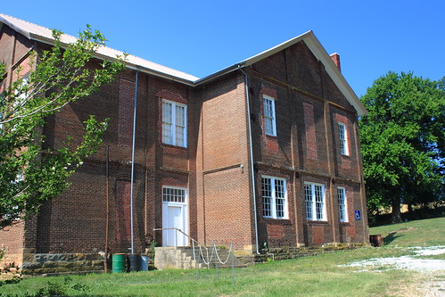
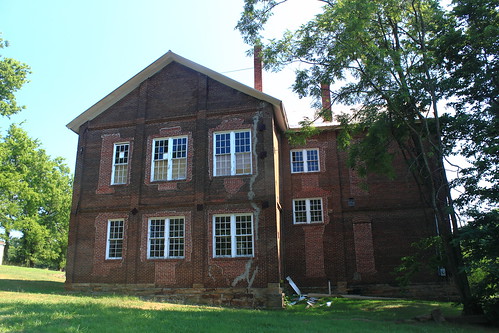
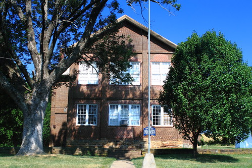
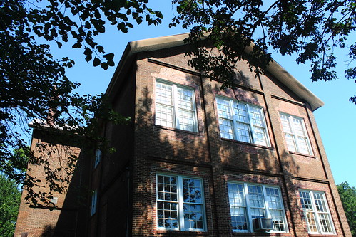
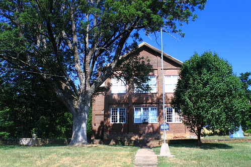
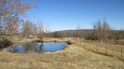
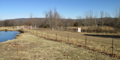
Elevation of AR-59, Evansville, AR, USA
Location: United States > Arkansas > Washington County > Vineyard Township > Evansville >
Longitude: -94.496392
Latitude: 35.795027
Elevation: 347m / 1138feet
Barometric Pressure: 97KPa
Related Photos:
Topographic Map of AR-59, Evansville, AR, USA
Find elevation by address:

Places near AR-59, Evansville, AR, USA:
Evansville
Bellamy Rd, Evansville, AR, USA
Vineyard Township
Boston Township
Dutch Mills Rd, Lincoln, AR, USA
Morrow Township
Morrow
Hale Mountain Rd, Morrow, AR, USA
Dutch Mills Township
N Skylight Mountain Rd, Canehill, AR, USA
Clyde Rd, Canehill, AR, USA
Stilwell
N 2nd St, Stilwell, OK, USA
Lees Creek Township
North 8th Street
North 8th Street
Canehill
2012 S Mitchell Ave
Cane Hill Township
Lincoln Township
Recent Searches:
- Elevation of Corso Fratelli Cairoli, 35, Macerata MC, Italy
- Elevation of Tallevast Rd, Sarasota, FL, USA
- Elevation of 4th St E, Sonoma, CA, USA
- Elevation of Black Hollow Rd, Pennsdale, PA, USA
- Elevation of Oakland Ave, Williamsport, PA, USA
- Elevation of Pedrógão Grande, Portugal
- Elevation of Klee Dr, Martinsburg, WV, USA
- Elevation of Via Roma, Pieranica CR, Italy
- Elevation of Tavkvetili Mountain, Georgia
- Elevation of Hartfords Bluff Cir, Mt Pleasant, SC, USA

