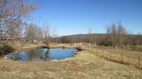
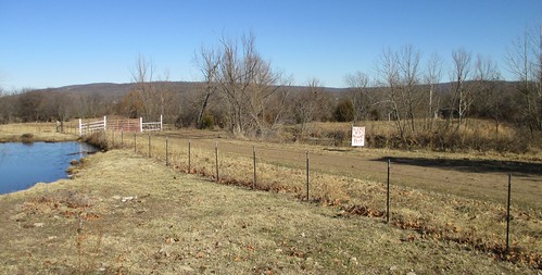
Elevation of Morrow Township, AR, USA
Location: United States > Arkansas > Washington County >
Longitude: -94.449083
Latitude: 35.8657497
Elevation: 317m / 1040feet
Barometric Pressure: 98KPa
Related Photos:
Topographic Map of Morrow Township, AR, USA
Find elevation by address:

Places in Morrow Township, AR, USA:
Places near Morrow Township, AR, USA:
Dutch Mills Rd, Lincoln, AR, USA
Dutch Mills Township
Clyde Rd, Canehill, AR, USA
Canehill
2012 S Mitchell Ave
Cane Hill Township
Lincoln Township
Lincoln
Arthur Ave S, Lincoln, AR, USA
County Road 675
Starr Hill Township
12799 Co Rd 8
12799 Co Rd 8
Co Rd 33, Lincoln, AR, USA
AR-59, Summers, AR, USA
Bob Kidd Lake
20116 Gem Rd
Ashley Rd, Lincoln, AR, USA
Rheas Mill Township
W Buchanan St, Prairie Grove, AR, USA
Recent Searches:
- Elevation of Corso Fratelli Cairoli, 35, Macerata MC, Italy
- Elevation of Tallevast Rd, Sarasota, FL, USA
- Elevation of 4th St E, Sonoma, CA, USA
- Elevation of Black Hollow Rd, Pennsdale, PA, USA
- Elevation of Oakland Ave, Williamsport, PA, USA
- Elevation of Pedrógão Grande, Portugal
- Elevation of Klee Dr, Martinsburg, WV, USA
- Elevation of Via Roma, Pieranica CR, Italy
- Elevation of Tavkvetili Mountain, Georgia
- Elevation of Hartfords Bluff Cir, Mt Pleasant, SC, USA

