Elevation of AR-16, Elkins, AR, USA
Location: United States > Arkansas > Madison County > Mill Creek Township >
Longitude: -93.884249
Latitude: 35.8430899
Elevation: 415m / 1362feet
Barometric Pressure: 96KPa
Elevation Map:
Satellite Map:
Related Photos:
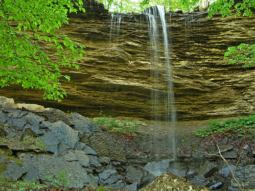
"Flickr, Meet Senyard Falls."

Red Bridge

Beautiful view #ozarkmountains #mulberrymountain #byrdsadventurecenter
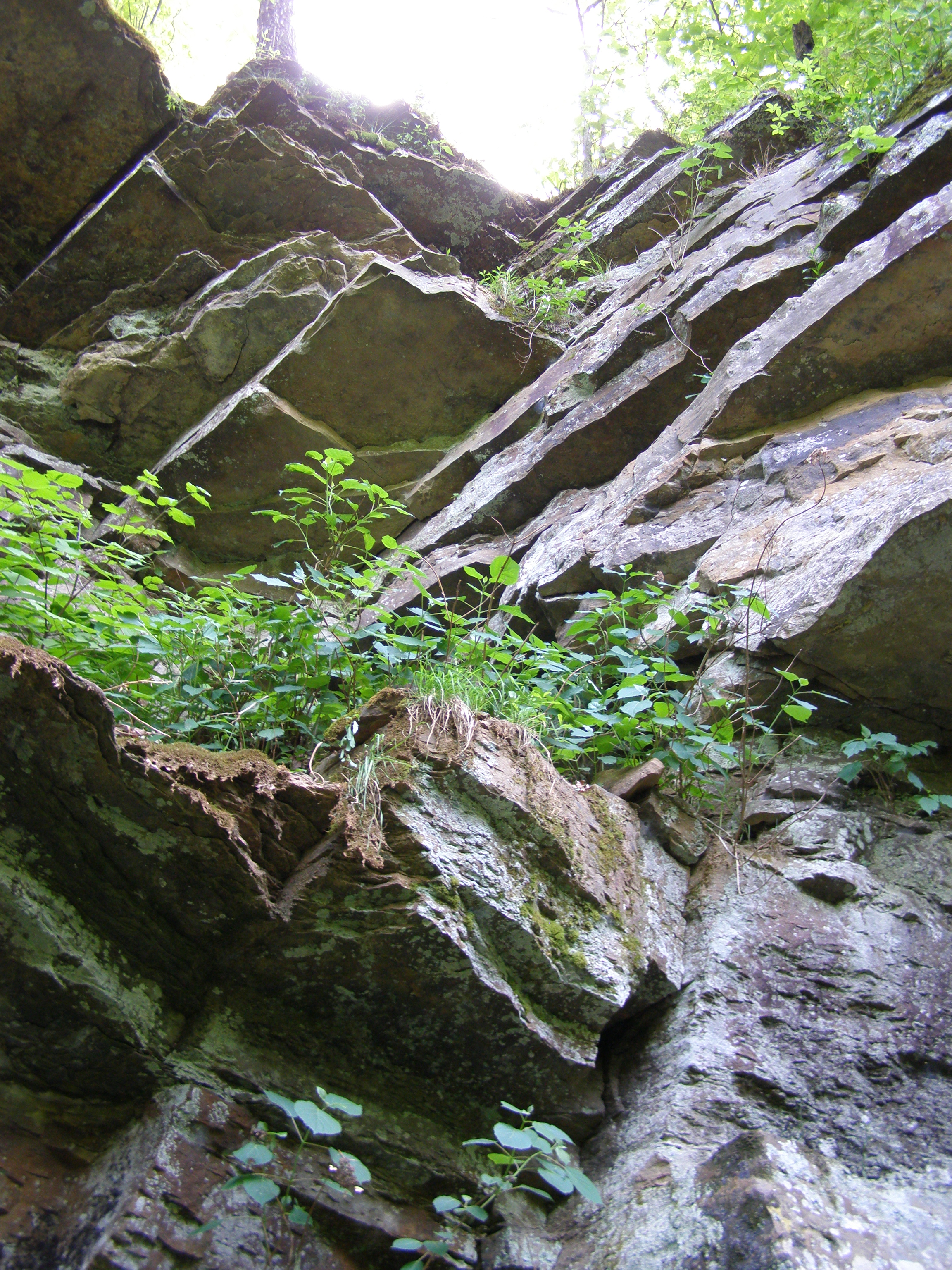
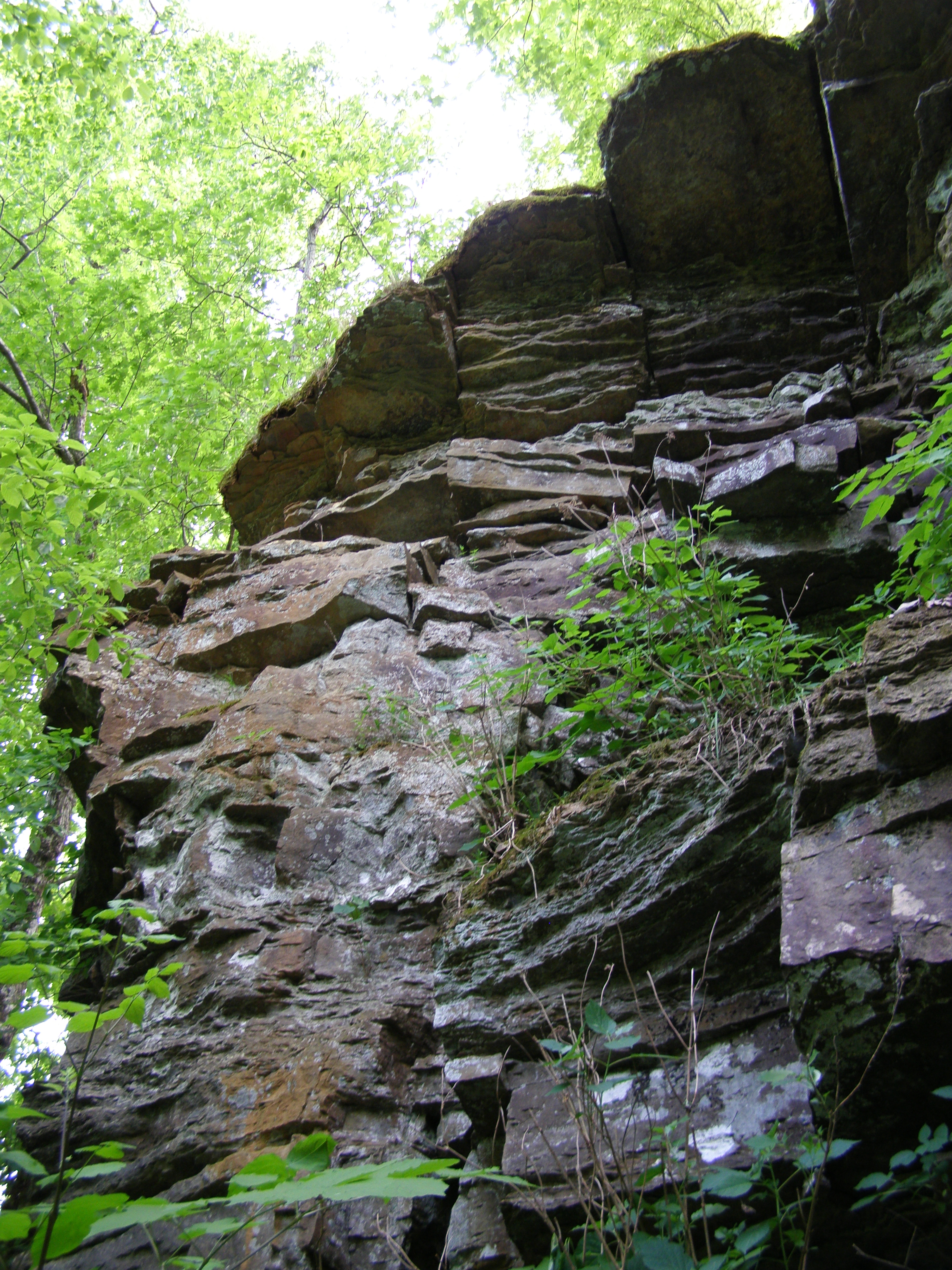
Dare you to climb this
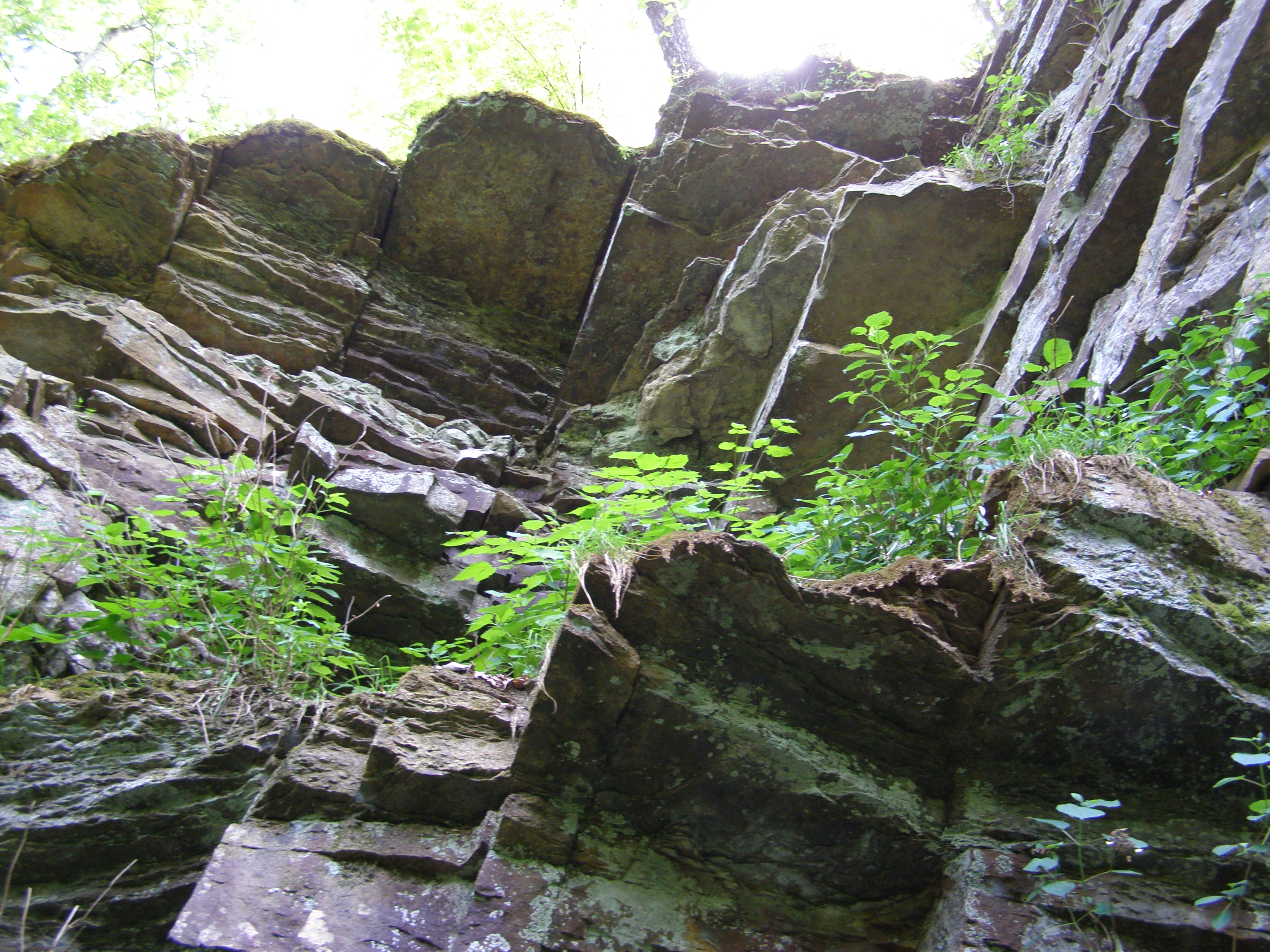
Dare you to climb this too
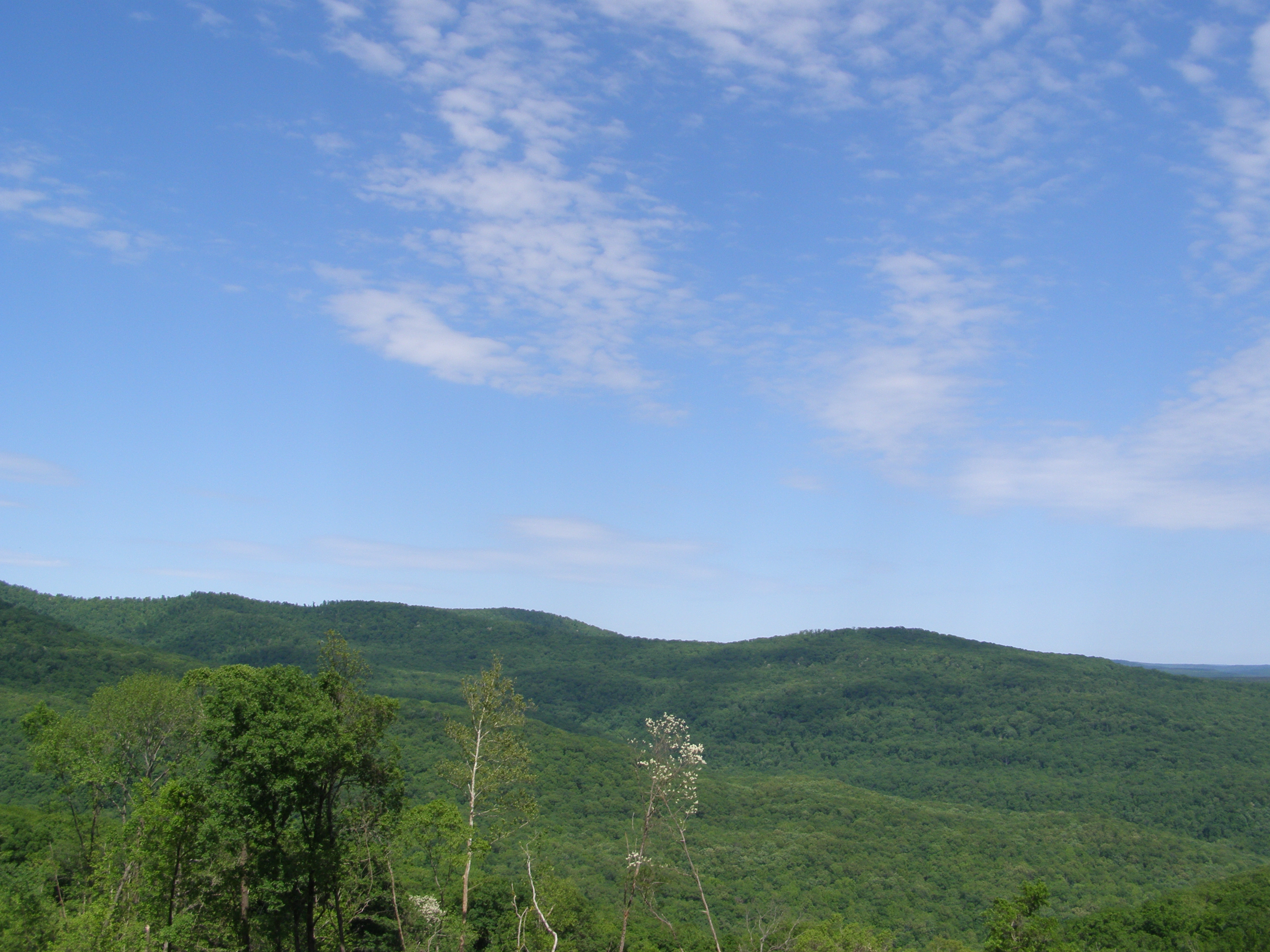
More Sky
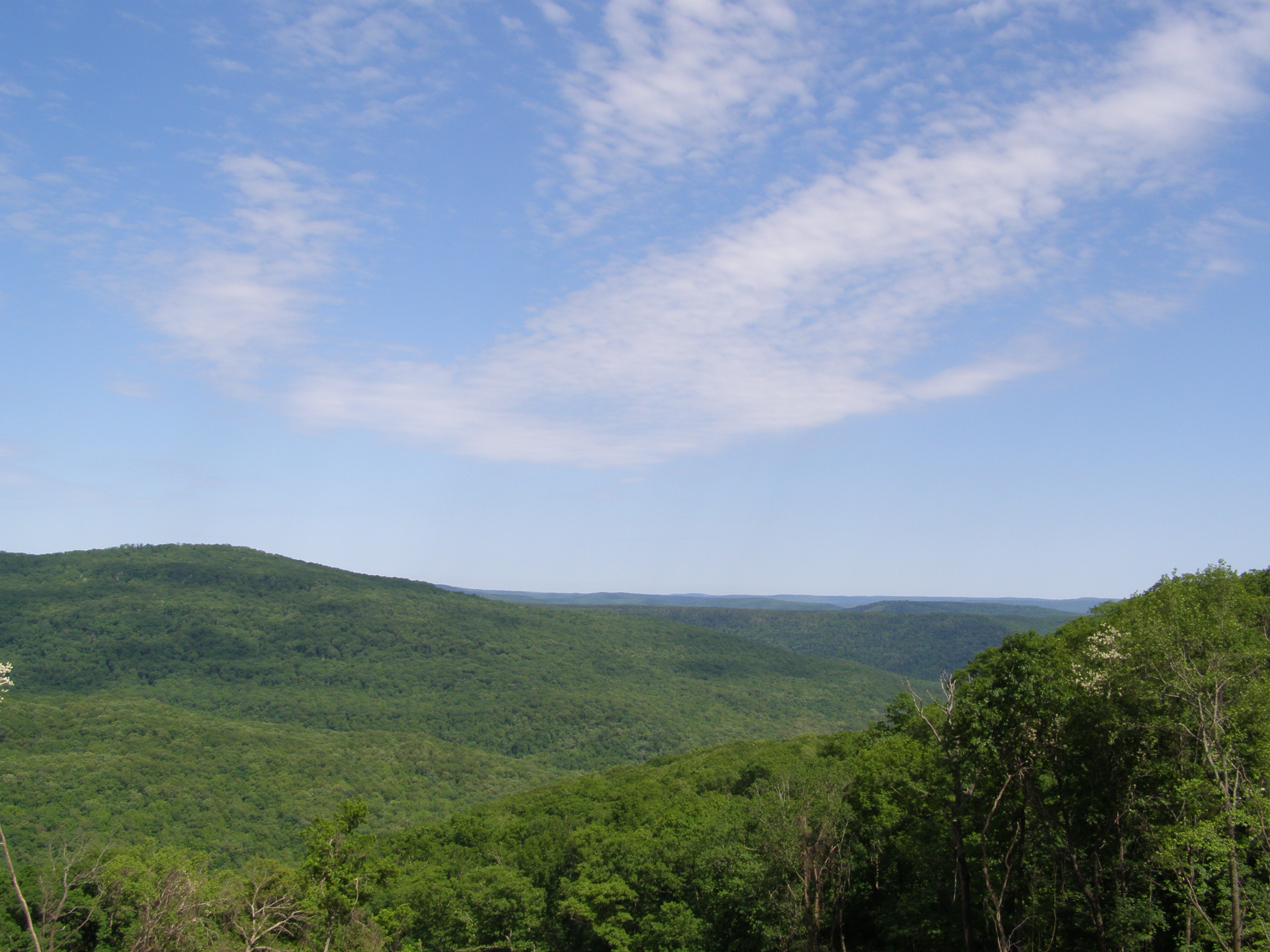
Even More Sky
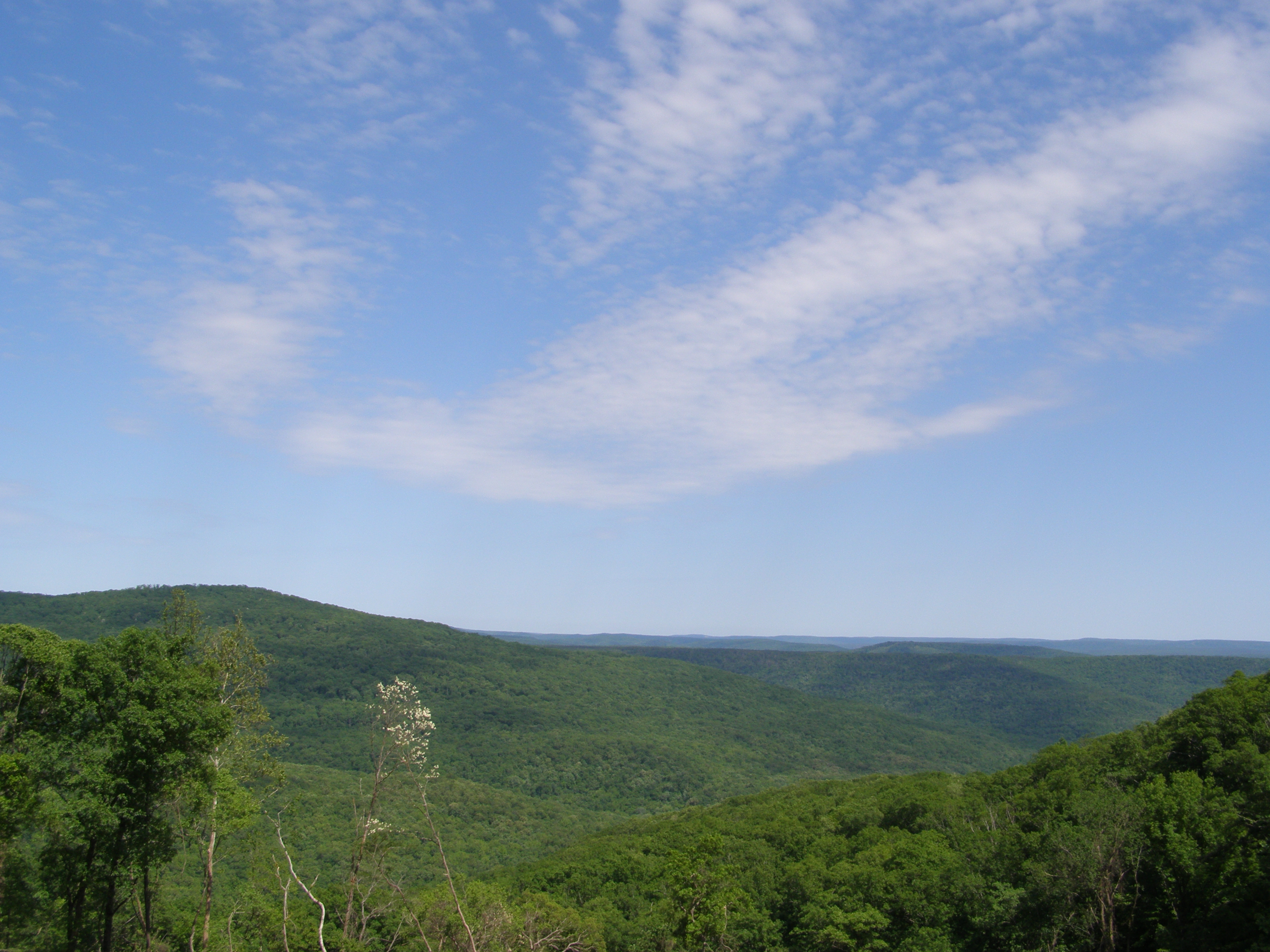
Guess what, more sky
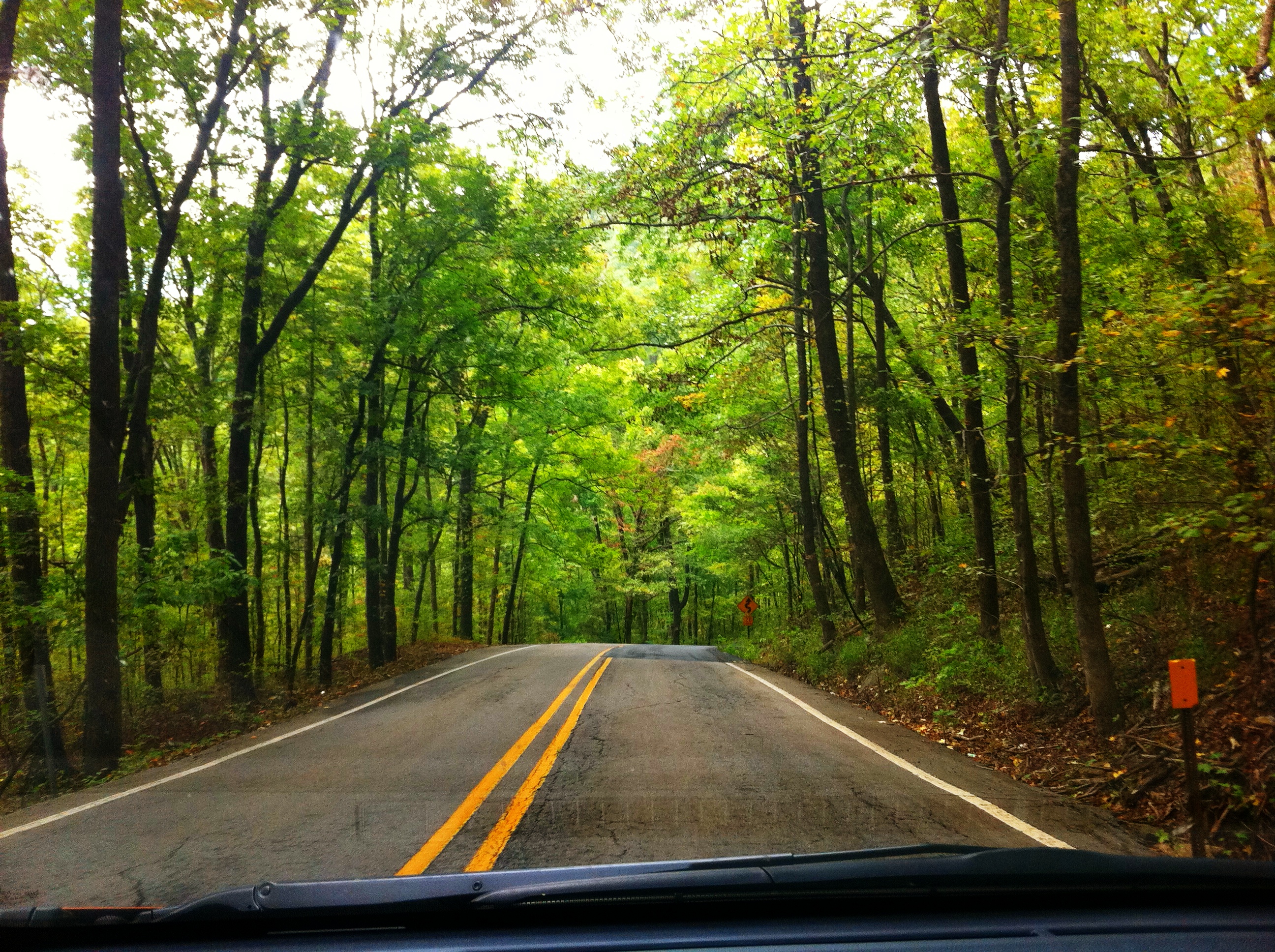
Highway 23 through Ozark National Forest
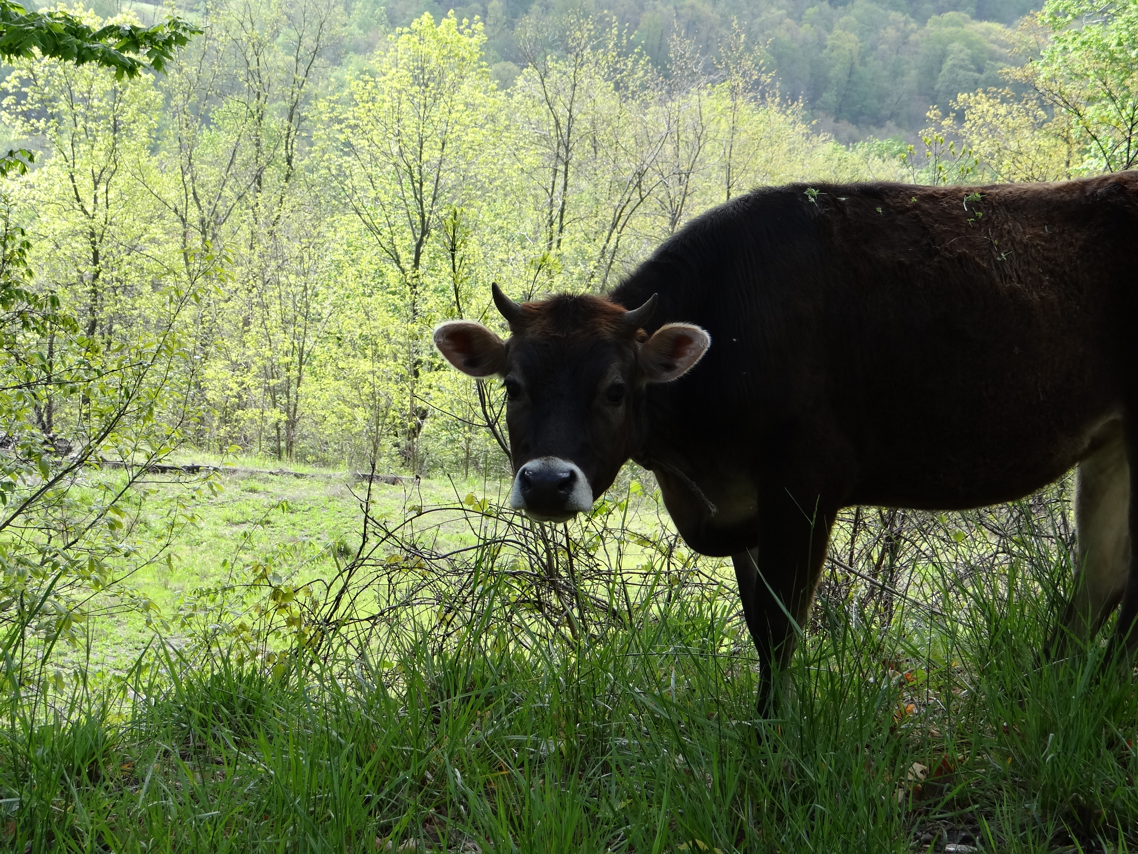
Hanging out on the side of the road.
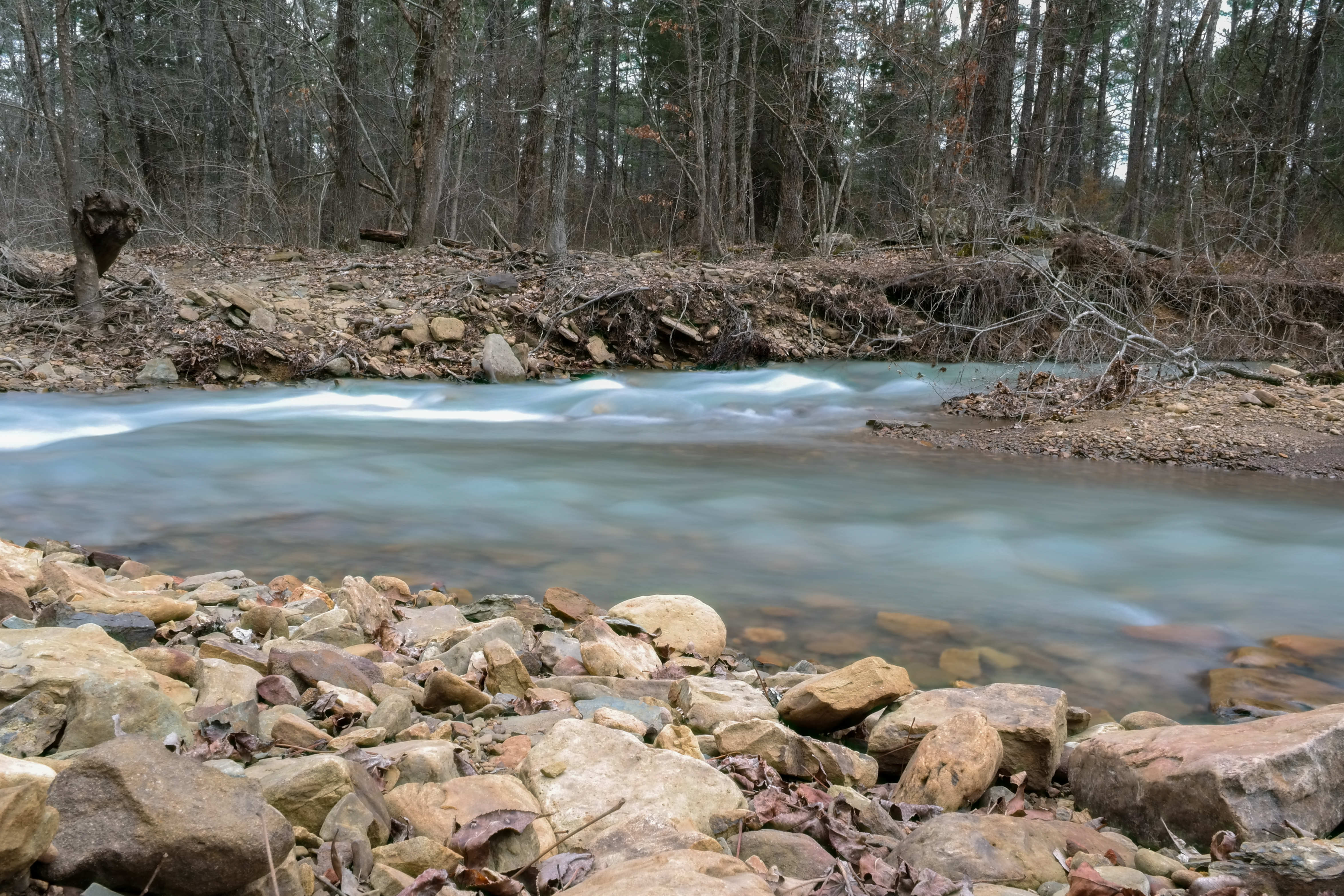
More Big Rocks
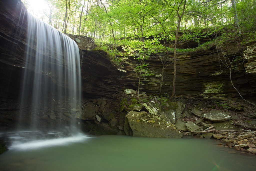
Waterfalls // Grilled Cheese

White Rock Mountain 3
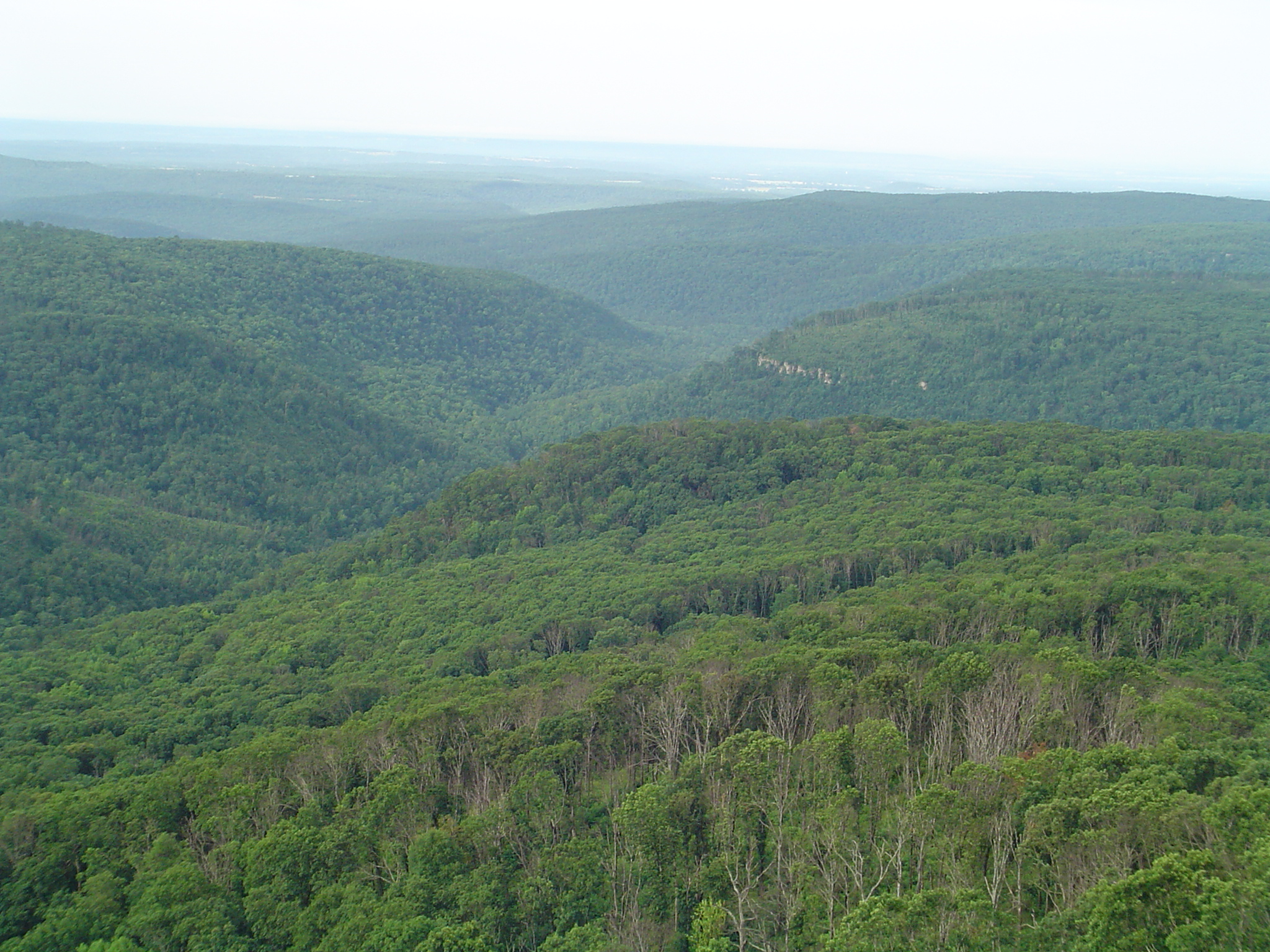
White Rock Mountain 2
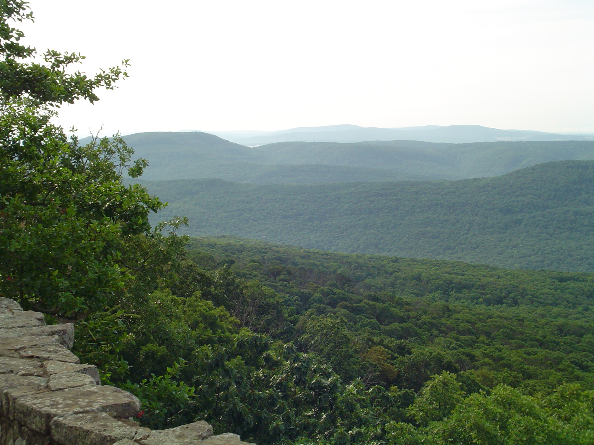
White Rock Mountain
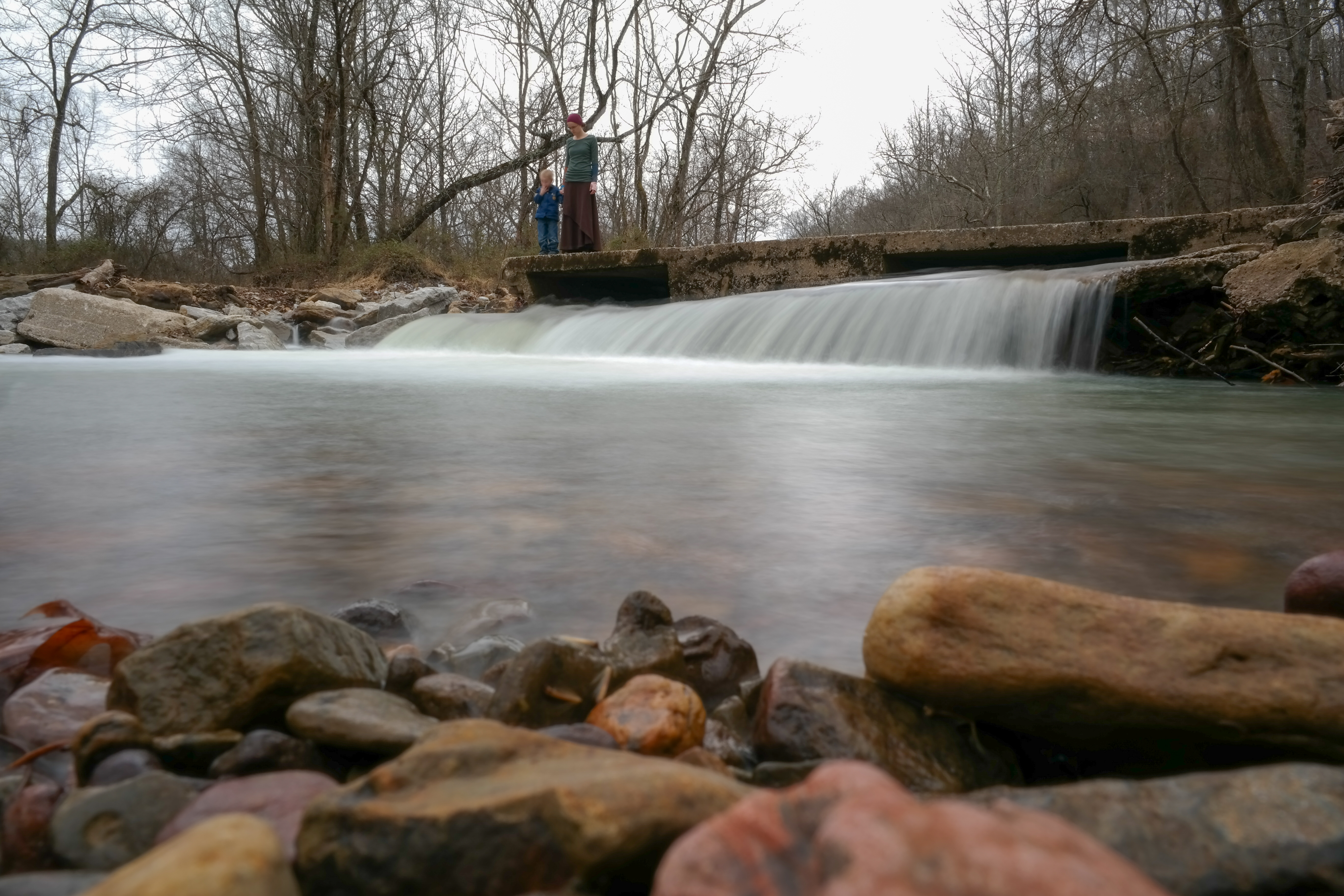
On Top of the Fall
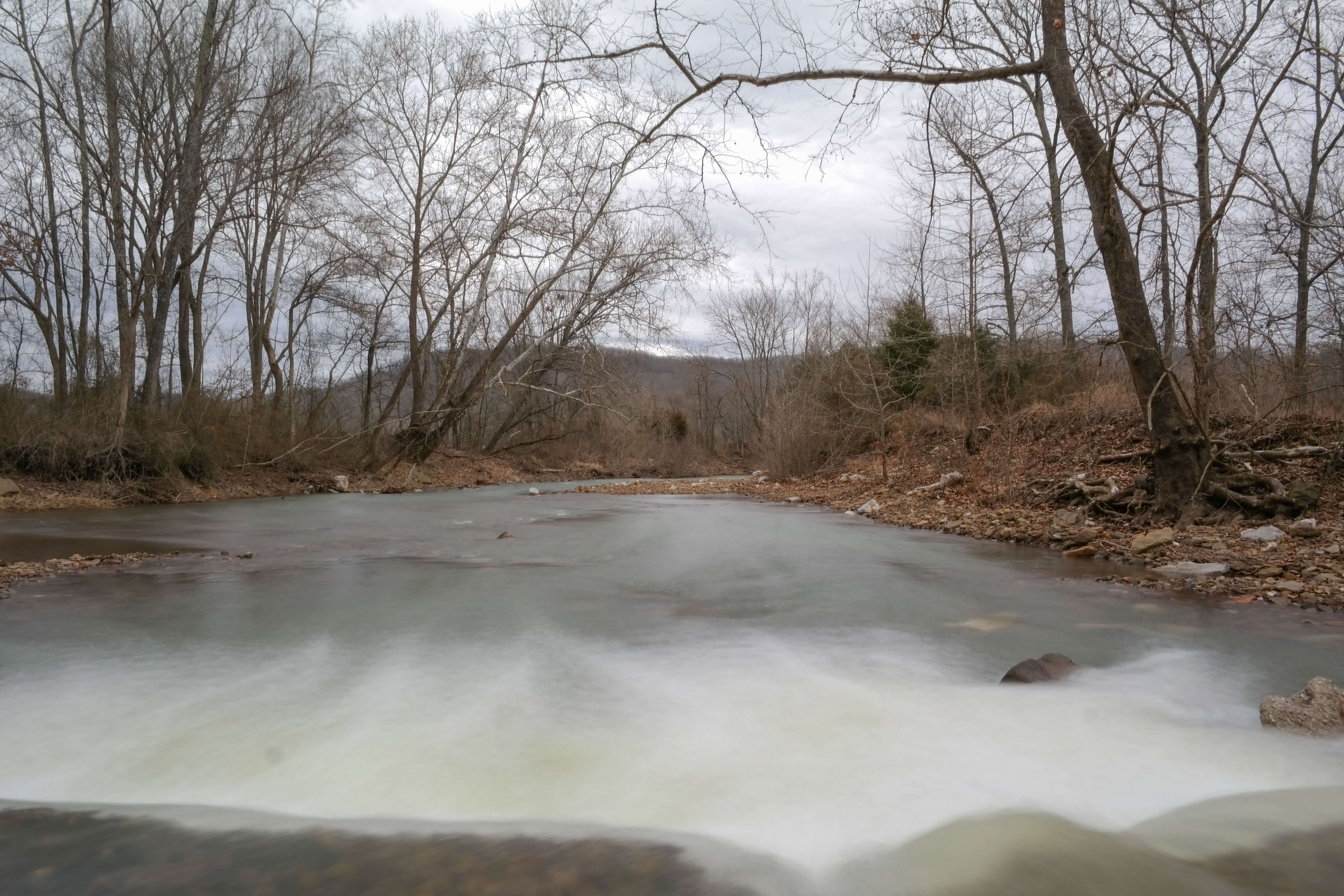
Snow Melt Long 2
Snow Melt Long
Topographic Map of AR-16, Elkins, AR, USA
Find elevation by address:

Places near AR-16, Elkins, AR, USA:
Madison, Elkins, AR, USA
3068 Madison 4147
Valley Township
581 Madison 5520
AR-, Elkins, AR, USA
1626 Madison 4035
2084 Madison 4035
626 Madison 4035
17776 Brannon Mountain Rd
17776 Brannon Mountain Rd
17776 Brannon Mountain Rd
17776 Brannon Mountain Rd
17776 Brannon Mountain Rd
Madison, Elkins, AR, USA
Reed Township
20441 Shackelford Rd
National Forest Development Road 1007
18847 Hazel Valley Rd
Bidville
Bear Hollow Road
Recent Searches:
- Elevation of Corso Fratelli Cairoli, 35, Macerata MC, Italy
- Elevation of Tallevast Rd, Sarasota, FL, USA
- Elevation of 4th St E, Sonoma, CA, USA
- Elevation of Black Hollow Rd, Pennsdale, PA, USA
- Elevation of Oakland Ave, Williamsport, PA, USA
- Elevation of Pedrógão Grande, Portugal
- Elevation of Klee Dr, Martinsburg, WV, USA
- Elevation of Via Roma, Pieranica CR, Italy
- Elevation of Tavkvetili Mountain, Georgia
- Elevation of Hartfords Bluff Cir, Mt Pleasant, SC, USA