Elevation of Apple Pie Ridge Rd, Alto, GA, USA
Location: United States > Georgia > Banks County > Alto >
Longitude: -83.535130
Latitude: 34.4471352
Elevation: 282m / 925feet
Barometric Pressure: 98KPa
Elevation Map:
Satellite Map:
Related Photos:

The John Burnette Family - Mexico

View of a Creek

IMG_6122 - "Photo of the Day for January 10th 2012"

Foot's Eye View
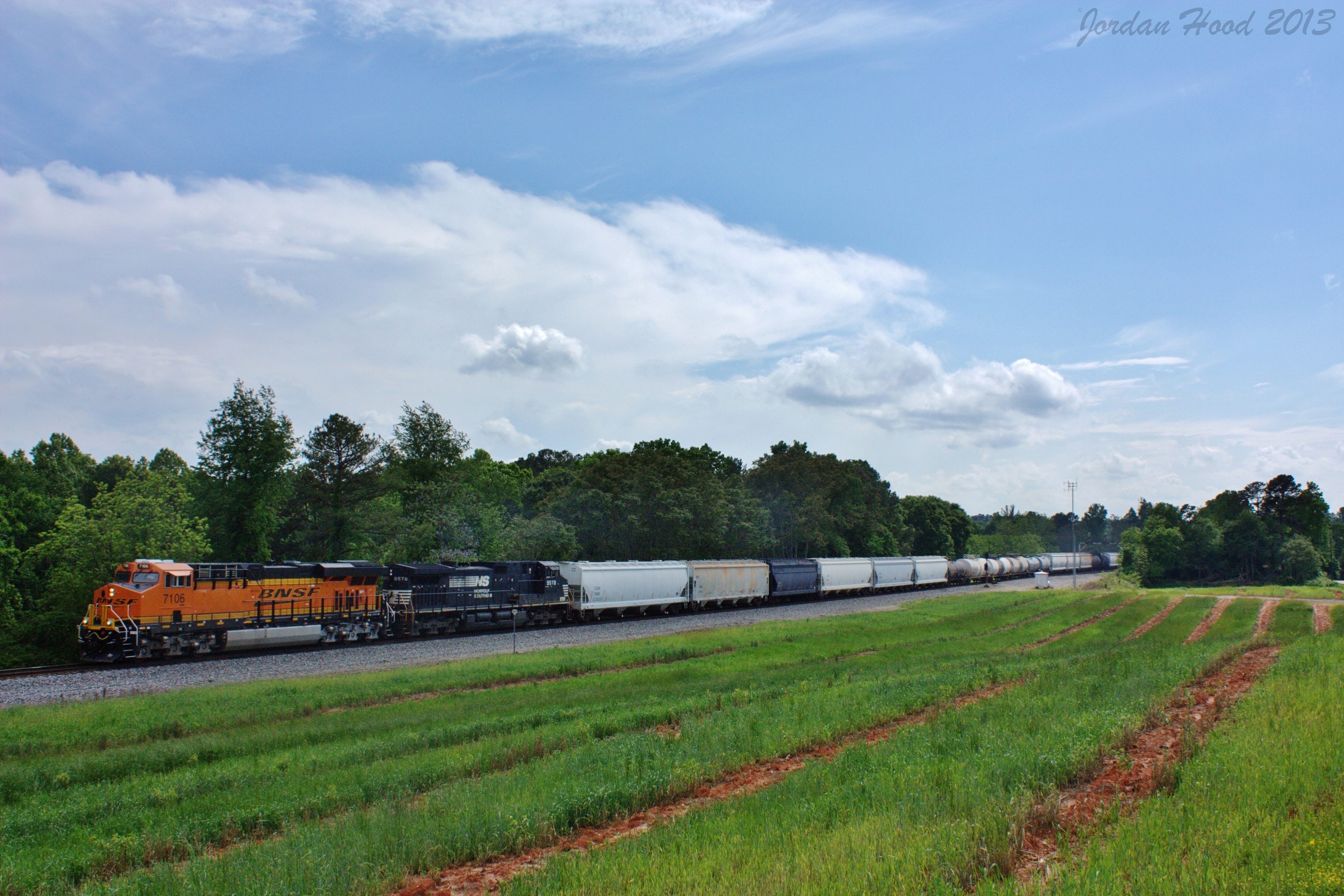
NS 172

Grand Tetons

Bailey at Jekyll island

Grand Teton National Park

Mossy Creek

Pit stop for a diaper change in The Great Smoky Mountains.

Wet Marsh

Afternoon Dew Grass

Stairs in the Forest

IMG_3207 (2)
Topographic Map of Apple Pie Ridge Rd, Alto, GA, USA
Find elevation by address:

Places near Apple Pie Ridge Rd, Alto, GA, USA:
1103 Apple Pie Ridge Rd
1103 Apple Pie Ridge Rd
1103 Apple Pie Ridge Rd
2936 Wynn Lake Rd
Old Hwy N, Alto, GA, USA
2023 Gainesville Hwy
642 Emory Chambers Rd
2092 Us-441
2090 Us-441
3791 Hwy 441 Bypass
Alto, GA, USA
304 Scenic View Dr
114 Burkhalter Dr
223 Sunset Dr
Banks County
Russ Rumsey Road
800 Garrison Rd
Homer
297 Herrin Dr
549 Gardiner Rd
Recent Searches:
- Elevation of Corso Fratelli Cairoli, 35, Macerata MC, Italy
- Elevation of Tallevast Rd, Sarasota, FL, USA
- Elevation of 4th St E, Sonoma, CA, USA
- Elevation of Black Hollow Rd, Pennsdale, PA, USA
- Elevation of Oakland Ave, Williamsport, PA, USA
- Elevation of Pedrógão Grande, Portugal
- Elevation of Klee Dr, Martinsburg, WV, USA
- Elevation of Via Roma, Pieranica CR, Italy
- Elevation of Tavkvetili Mountain, Georgia
- Elevation of Hartfords Bluff Cir, Mt Pleasant, SC, USA