Elevation of Gainesville Hwy, Alto, GA, USA
Location: United States > Georgia > Habersham County >
Longitude: -83.596076
Latitude: 34.450933
Elevation: 429m / 1407feet
Barometric Pressure: 96KPa
Elevation Map:
Satellite Map:
Related Photos:

Heading to the mountains
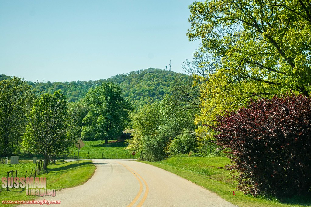
Country road

IMG_6122 - "Photo of the Day for January 10th 2012"

The John Burnette Family - Mexico

Holly Springs Baptist Church Cemetery

Bailey at Jekyll island

Grand Tetons

woods 2

IMG_3149 (2)

IMG_3144 (2)

IMG_3166 (2)
Topographic Map of Gainesville Hwy, Alto, GA, USA
Find elevation by address:

Places near Gainesville Hwy, Alto, GA, USA:
Alto, GA, USA
304 Scenic View Dr
114 Burkhalter Dr
1103 Apple Pie Ridge Rd
1103 Apple Pie Ridge Rd
1103 Apple Pie Ridge Rd
1103 Apple Pie Ridge Rd
800 Garrison Rd
297 Herrin Dr
119 Brookside Pl
119 Brookside Pl
119 Brookside Pl
119 Brookside Pl
119 Brookside Pl
119 Brookside Dr
119 Brookside Dr
2936 Wynn Lake Rd
Old Hwy N, Alto, GA, USA
Athens St, Lula, GA, USA
Lula
Recent Searches:
- Elevation of Corso Fratelli Cairoli, 35, Macerata MC, Italy
- Elevation of Tallevast Rd, Sarasota, FL, USA
- Elevation of 4th St E, Sonoma, CA, USA
- Elevation of Black Hollow Rd, Pennsdale, PA, USA
- Elevation of Oakland Ave, Williamsport, PA, USA
- Elevation of Pedrógão Grande, Portugal
- Elevation of Klee Dr, Martinsburg, WV, USA
- Elevation of Via Roma, Pieranica CR, Italy
- Elevation of Tavkvetili Mountain, Georgia
- Elevation of Hartfords Bluff Cir, Mt Pleasant, SC, USA