Elevation of Russ Rumsey Road, Russ Rumsey Rd, Georgia, USA

Location: United States > Georgia > Maysville >

Longitude: -83.535692

Latitude: 34.3443173

Elevation: 262m / 860feet

Barometric Pressure: 98KPa

Elevation Map:

elevation map of Russ Rumsey Road, Russ Rumsey Rd, Georgia, USA

Satellite Map:

Satellite map of Russ Rumsey Road, Russ Rumsey Rd, Georgia, USA

Related Photos:

ga georgia hurricaneshoals hurricaneshoalspark alternateprocessing architecture bw park vintage
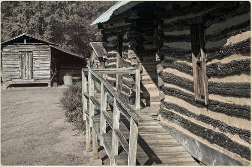
Ramp View of Corn Crib
family atlanta fire track smoke tires nitro tradition loud deafening fuel dragracing thrill motorsport dragster dragrace dragstrip combustion nhra commercega southernnationals familyoriented nitromethane nhrasouthernnationals melloyelloseries
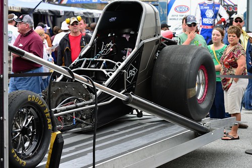
NHRA Southern nationals 2014 Q3
mill georgia wayne poultry farms feed maysville luxomni
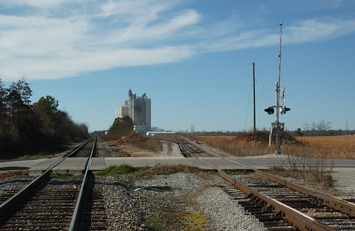
Maysville Grain Elevator
nitro fc fuel 2012 atlantaga psm dragrace tf nhra commercega southernnationals prostock nitromethane fullthrottledragracingseries
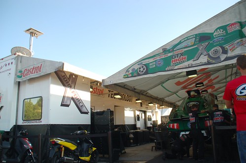
JFR camp
moon nitro fc fuel 2012 atlantaga psm dragrace tf nhra commercega southernnationals prostock nitromethane fullthrottledragracingseries
Smiling on the tower
dragracing nhra commercega livingthedream southernnationals nitromethane atlantadragway nhrafullthrottle jmichaelraby
Mountain View Tire Pro Stock
nitro fc fuel 2012 atlantaga psm dragrace tf nhra commercega southernnationals prostock nitromethane fullthrottledragracingseries
Summit Orange and Mountain View Tire Pro Stock's
dragracing nhra commercega livingthedream southernnationals nitromethane atlantadragway nhrafullthrottle jmichaelraby
Mountain View Tires Pro Stock
nitro fc fuel 2012 atlantaga psm dragrace tf nhra commercega southernnationals prostock nitromethane fullthrottledragracingseries
AAA Auto Club Fuel F/C, birds eye view
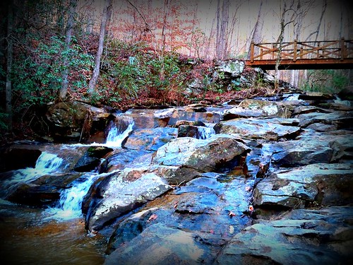
5dclassic 5dc americansouth canonef24mmf14l cothronphotography dixie georgia heritagevillage hurricaneshoalspark jacksoncounty johncothron maysville northoconeeriver southatlanticstates southernregion thesouth us usa unitedstatesofamerica architectural autumn bridge coveredbridge creek fall flowing freshwater landscape morninglight nature outdoor outside river scenic stream water woodbridge img4448 ©johncothron2008 hurricaneshoalscoveredbridge
Hurricane Shoals Covered Bridge
artatlantadiscoveratlexploregeorgiasouthcarolinadiscoverscgsmnptennesseemadeintnnorthcarolinavisitncalabamasweethomealabamamillspicofthedayweatherlandscapephotographyskylinewaterfallstraininstagoodgreatsm exif:focallength=40mm exif:model=canoneos5dmarkiv camera:make=canon exif:isospeed=100 geostate geocountry geocity exif:lens=canonef1740mmf4l camera:model=canoneos5dmarkiv geolocation geo:lat=3438682 exif:aperture=ƒ80 geo:lon=8366653 exif:make=canon
Kansas Southern Locomotive Rolling Through Cornelia, Georgia
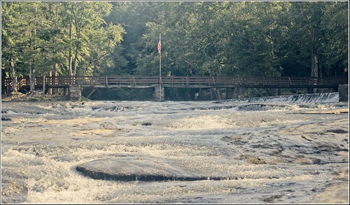
hurricaneshoals hurricaneshoalspark landscape bridge nature park river
Shoals Crossing
ga georgia hurricaneshoals hurricaneshoalspark alternateprocessing fence landscape rural
Vintage Homestead
hurricaneshoals hurricaneshoalspark river park nature landscape
Calmer Waters
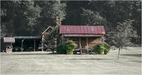
ga georgia hurricaneshoals hurricaneshoalspark alternateprocessing landscape rural vintage
Country Homestead
Hurricane Shoals Park
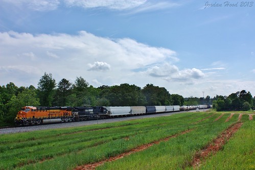
ns lula piedmont bnsf 172
NS 172
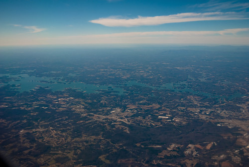
usa georgia geotagged landscapes unitedstates transport lakes location constantine geo airtravel lakesidneylanier gillsville geo:lat=3426739407 geo:lon=8364743996
Lake Sidney Lanier
help advice beginner critique novice critisism constructivecritisism
North Georgia
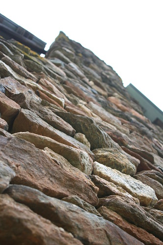
chimney rock stone canon georgia rebel 1850 maysville heritagevillage xti
Rock Chimney
woods 2
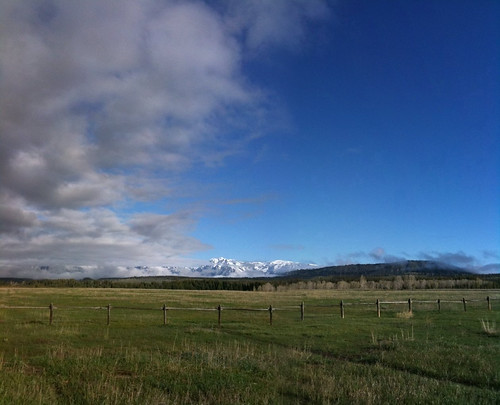
mountains landscape outdoors scenery wyoming
Grand Teton National Park
river
the river
sunset mountains landscape outdoors scenery western wyoming
Grand Tetons
square sierra squareformat iphoneography instagramapp uploaded:by=instagram
Sweet Pic...