Elevation of Annis Brook Ln, Barton, VT, USA
| Latitude | 44.6988991 |
|---|---|
| Longitude | -72.110841 |
| Elevation | 408m / 1339feet |
| Barometric Pressure | 965KPa |
Related Photos:

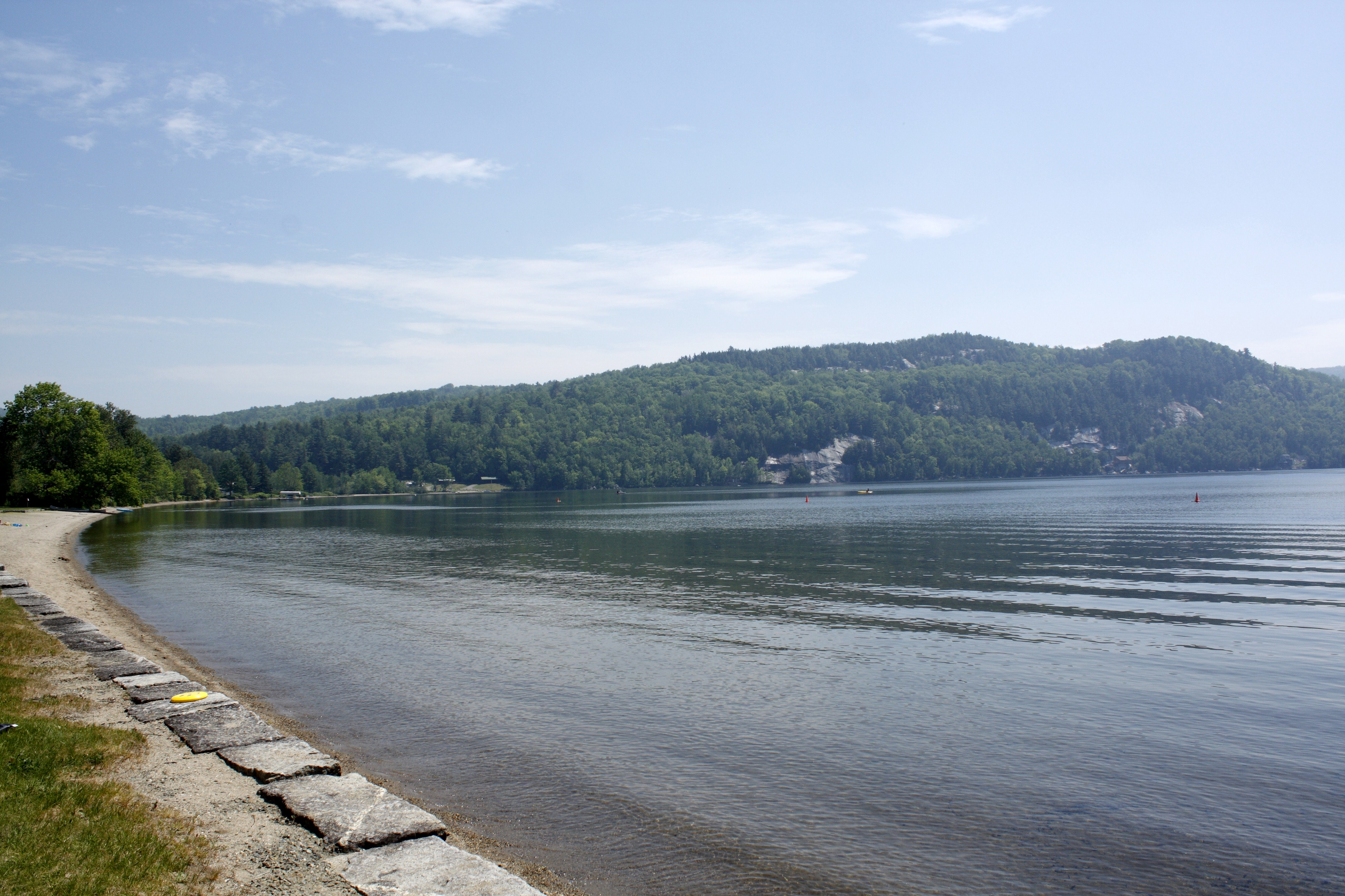
Lake Willoughby

Lake Willoughby Kayker's View

Fire Tower View
Memorial Day, Barton, VT 2010 (24)

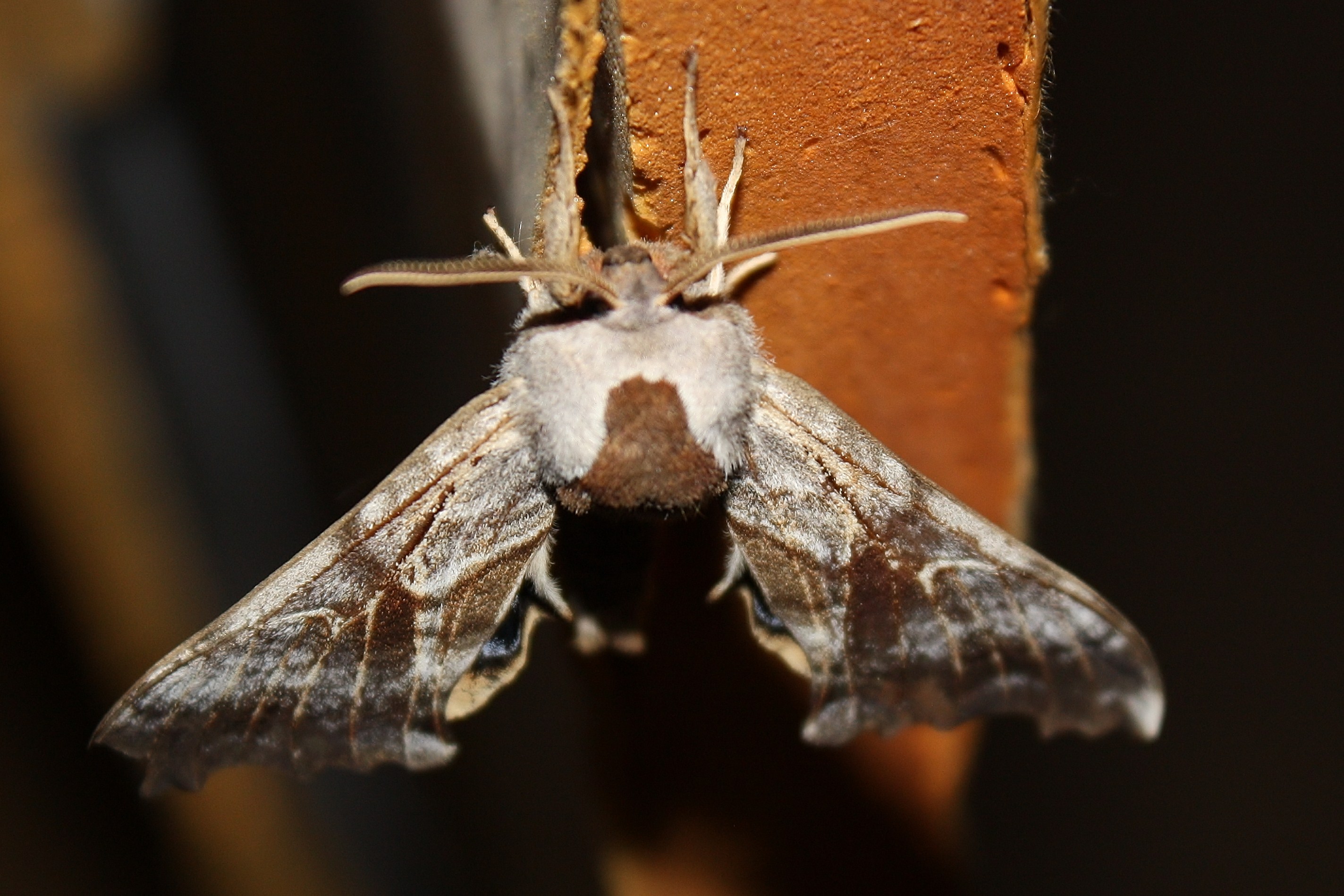
One-eyed Sphinx Moth

Memorial Day, Barton, VT 2010 (25)

Lake Willoughby

Memorial Day, Barton, VT 2010 (26)

Enjoying the beer at Hill Farmstead

One-eyed Sphinx Moth (2)

One-eyed Sphinx Moth (4)

One-eyed Sphinx Moth (1)
One-eyed Sphinx Moth (10)

One-eyed Sphinx Moth (3)

Splendid palpita moth (Palpita magniferalis) (2)

Five Hundred Redpolls (13 of 14).jpg

Memorial Day, Barton, VT 2010 (22)

Bald Mt View

Memorial Day, Barton, VT 2010 (46)

One-eyed Sphinx Moth (6)

Barn Spider - 6

Lake Willoughby, VT

Lake Willoughby by DJI Phantom 4

Morning Fog

Vermont Red Barn Sunset

these three.

Kingdom Sunrise

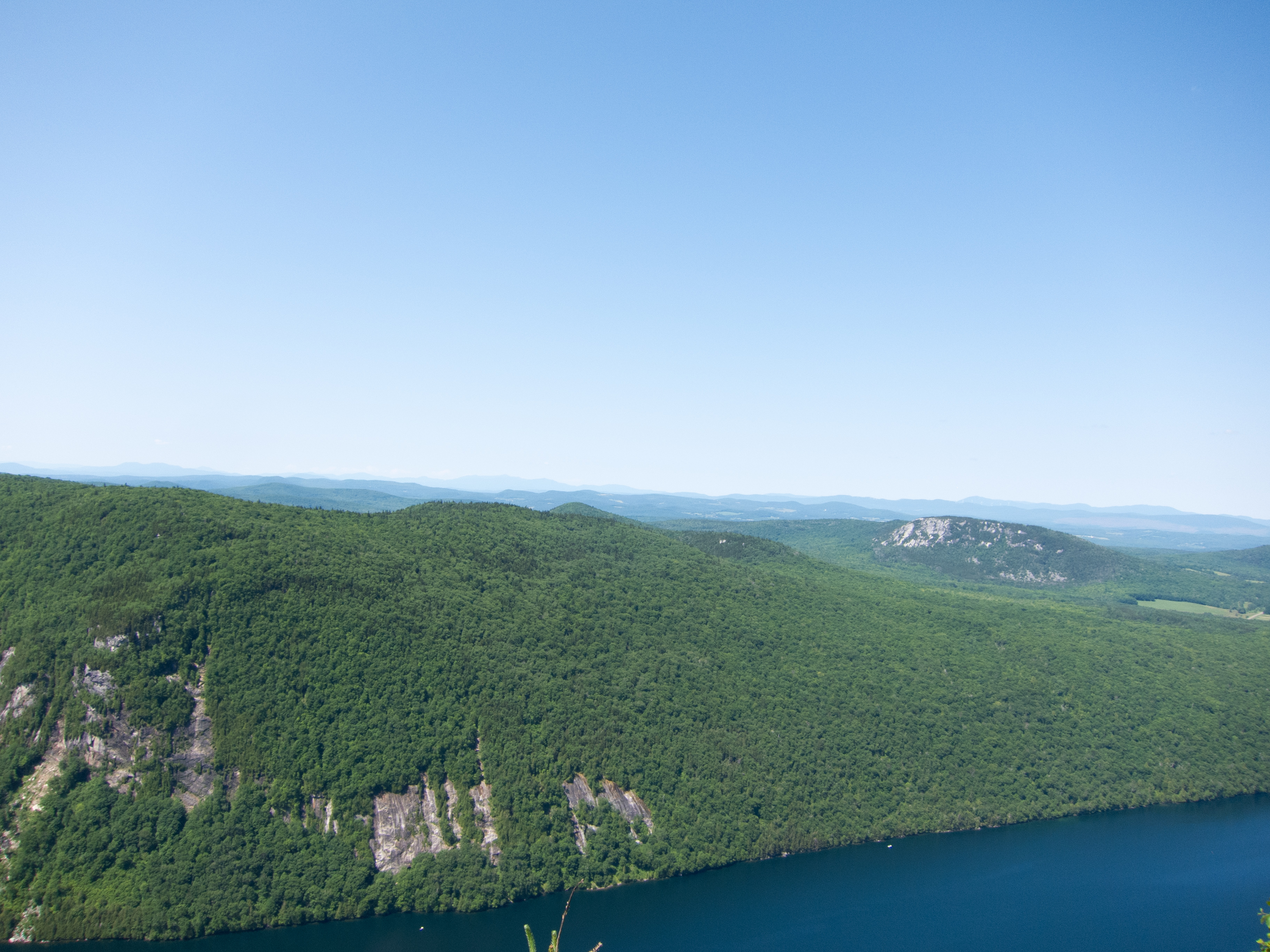
Mt. Pisgah

Mt. Pisgah

Mt. Hor

Mt. Pisgah

Mt. Hor

Museum of Everyday Life (Project 365: 263/365)

South End of Lake Willoughby

Late Afternoon
Mt. Pisgah

Mount Pisgah

Sugar Maple Bark (Acer saccharum) (2013.01.09) 03

Sugar Maple Bark (Acer saccharum) (2013.01.09) 02

Black Locust Tree (Robinia pseudoacacia) at CLFHA (10 of 42) June 08, 2013

Westlook Cemetery
Topographic Map of Annis Brook Ln, Barton, VT, USA
Find elevation by address:
Places near Annis Brook Ln, Barton, VT, USA:
732 Annis Brook Ln
732 Annis Brook Ln
Duck Pond Road
135 May Pond Rd
50 Willoughby Lake Rd
9 Sargent Ln
Glover
Barton
381 Main St
396 Main St
16 Church St
Schoolhouse Rd, Brownington, VT, USA
7 Hunt Hill Rd, Brownington, VT, USA
1308 Baird Rd
West Glover
Shadow Lake
1288 Pepin Rd
52 Access Ln
100 Damon Ln
243 Hinman Rd
Recent Searches:
- Elevation map of Central Hungary, Hungary
- Elevation map of Pest, Central Hungary, Hungary
- Elevation of Pilisszentkereszt, Pest, Central Hungary, Hungary
- Elevation of Dharamkot Tahsil, Punjab, India
- Elevation of Bhinder Khurd, Dharamkot Tahsil, Punjab, India
- Elevation of 2881, Chabot Drive, San Bruno, San Mateo County, California, 94066, USA
- Elevation of 10370, West 107th Circle, Westminster, Jefferson County, Colorado, 80021, USA
- Elevation of 611, Roman Road, Old Ford, Bow, London, England, E3 2RW, United Kingdom
- Elevation of 116, Beartown Road, Underhill, Chittenden County, Vermont, 05489, USA
- Elevation of Window Rock, Colfax County, New Mexico, 87714, USA
- Elevation of 4807, Rosecroft Street, Kempsville Gardens, Virginia Beach, Virginia, 23464, USA
- Elevation map of Matawinie, Quebec, Canada
- Elevation of Sainte-Émélie-de-l'Énergie, Matawinie, Quebec, Canada
- Elevation of Rue du Pont, Sainte-Émélie-de-l'Énergie, Matawinie, Quebec, J0K2K0, Canada
- Elevation of 8, Rue de Bécancour, Blainville, Thérèse-De Blainville, Quebec, J7B1N2, Canada
- Elevation of Wilmot Court North, 163, University Avenue West, Northdale, Waterloo, Region of Waterloo, Ontario, N2L6B6, Canada
- Elevation map of Panamá Province, Panama
- Elevation of Balboa, Panamá Province, Panama
- Elevation of San Miguel, Balboa, Panamá Province, Panama
- Elevation of Isla Gibraleón, San Miguel, Balboa, Panamá Province, Panama