Elevation of Baird Rd, Barton, VT, USA
Location: United States > Vermont > Orleans County > Barton >
Longitude: -72.162933
Latitude: 44.791916
Elevation: 355m / 1165feet
Barometric Pressure: 97KPa
Elevation Map:
Satellite Map:
Related Photos:

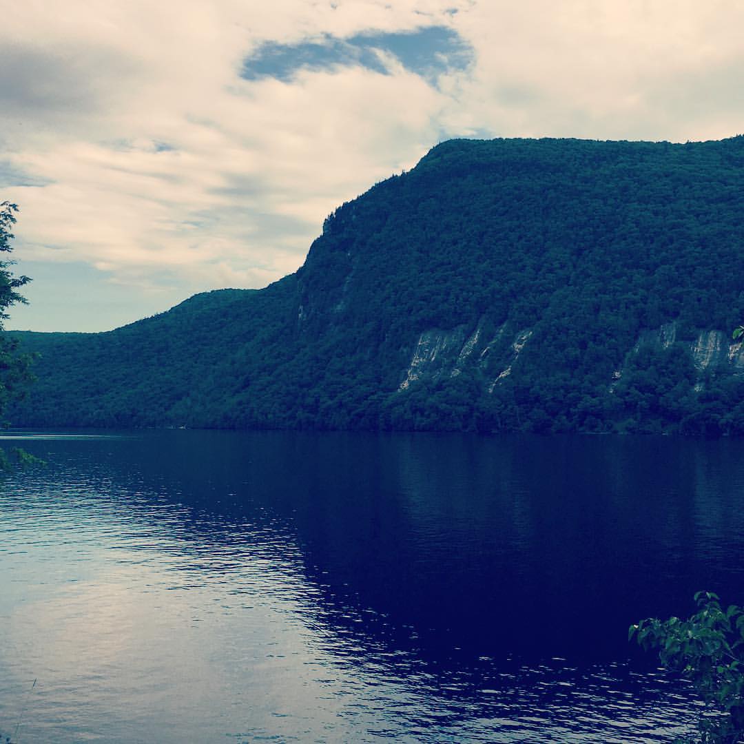
Lake Willoughby

Lake Willoughby, Vermont
Running views #nikerunning #jackrabbit #newyorkrunningcompany

Lake Willoughby Kayker's View

St. Mary Star of the Sea Catholic Church - 5

Field of View #selfportrait #gorillapod

Fire Tower View
Memorial Day, Barton, VT 2010 (24)

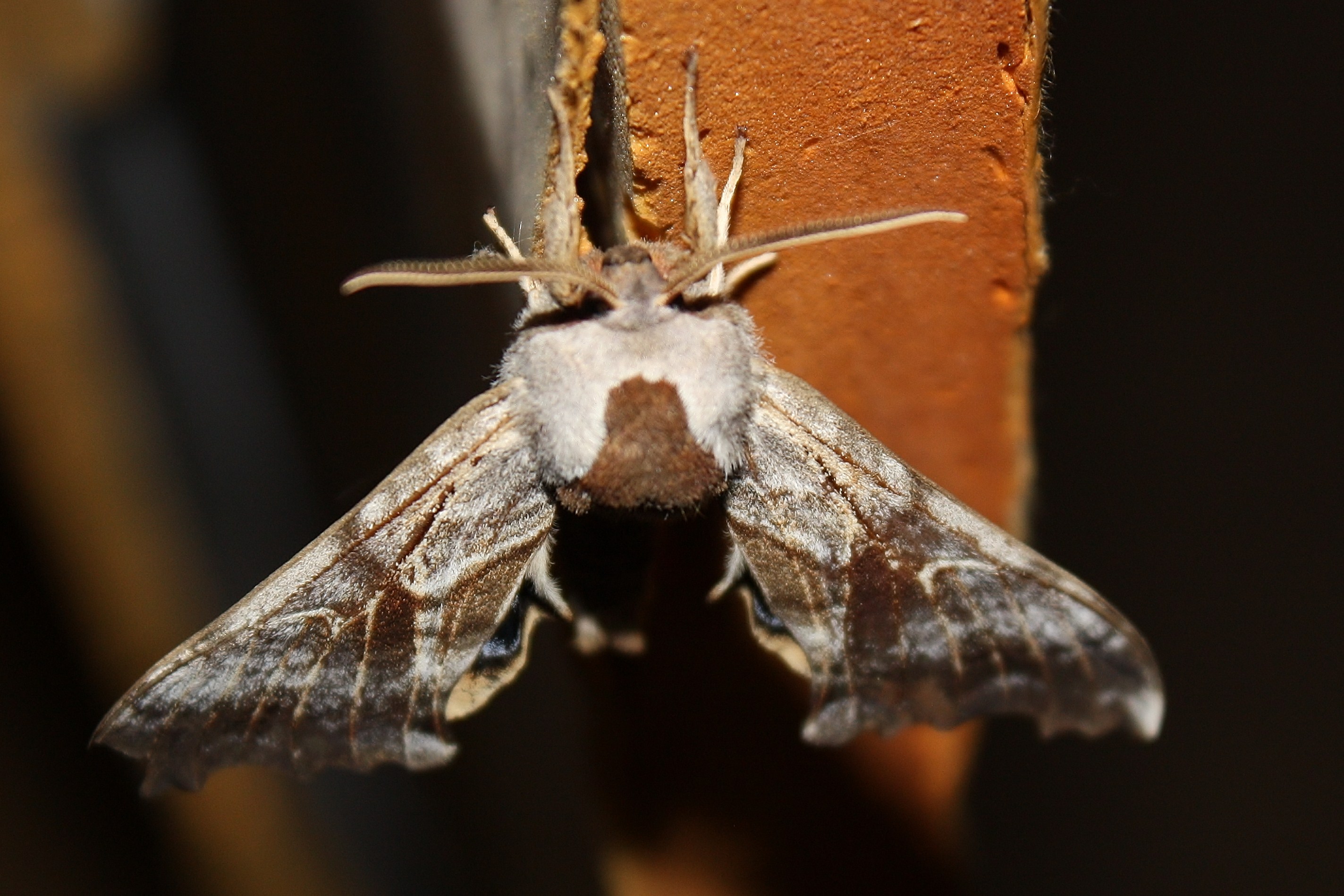
One-eyed Sphinx Moth

Memorial Day, Barton, VT 2010 (25)

Lake Willoughby

Memorial Day, Barton, VT 2010 (26)

One-eyed Sphinx Moth (2)

One-eyed Sphinx Moth (4)

One-eyed Sphinx Moth (1)
One-eyed Sphinx Moth (10)

One-eyed Sphinx Moth (3)

Splendid palpita moth (Palpita magniferalis) (2)

Five Hundred Redpolls (13 of 14).jpg

Memorial Day, Barton, VT 2010 (22)

Bald Mt View

Lake Willoughby, VT

Lake Willoughby by DJI Phantom 4

Kingdom Sunrise

Mt. Pisgah

Mt. Pisgah

Mt. Hor

Mt. Pisgah
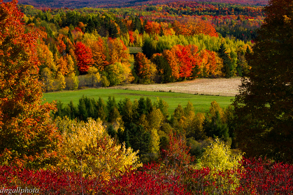
Vermont Fall

Mt. Hor

Fern Bog

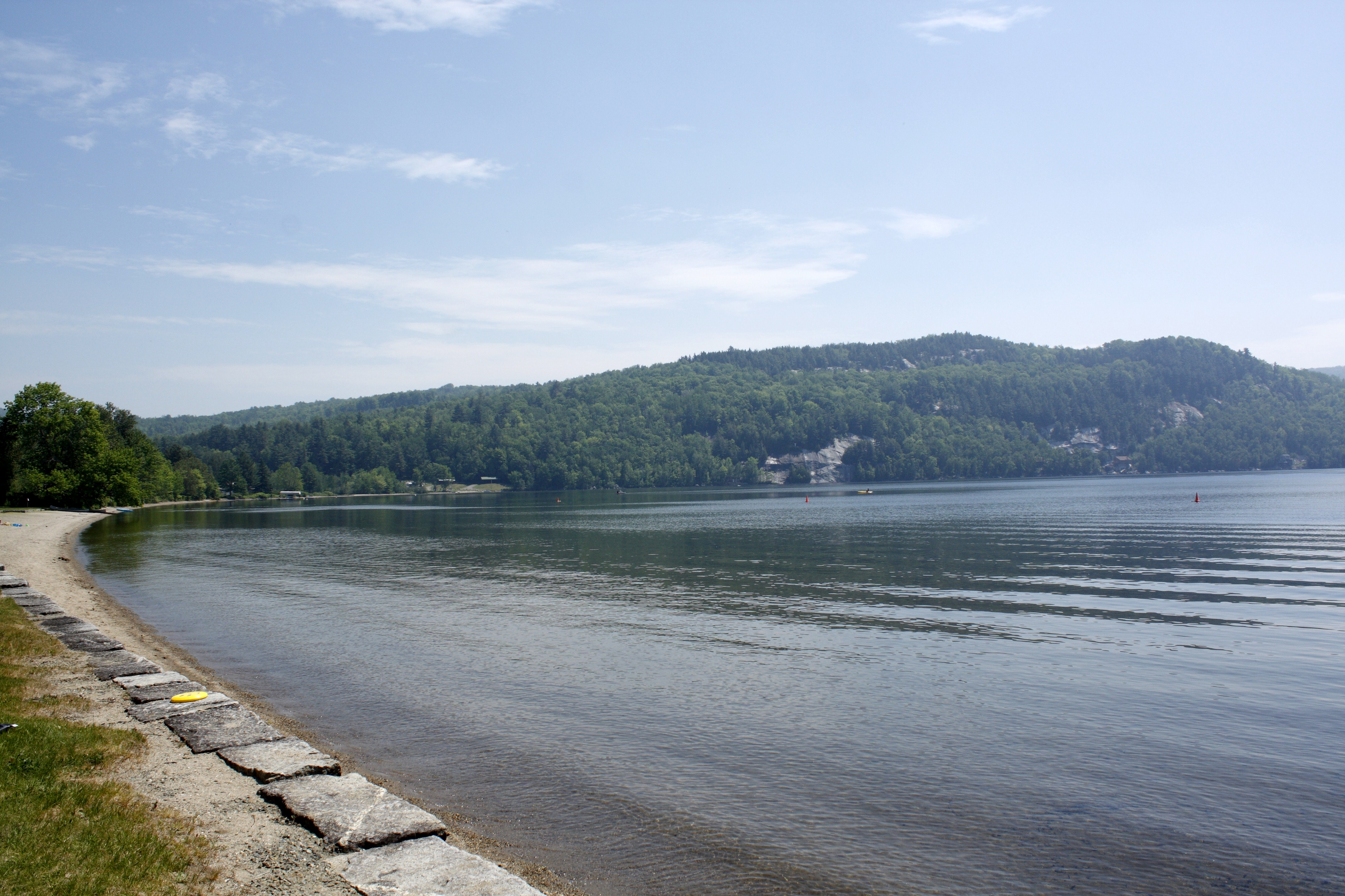
South End of Lake Willoughby

Late Afternoon
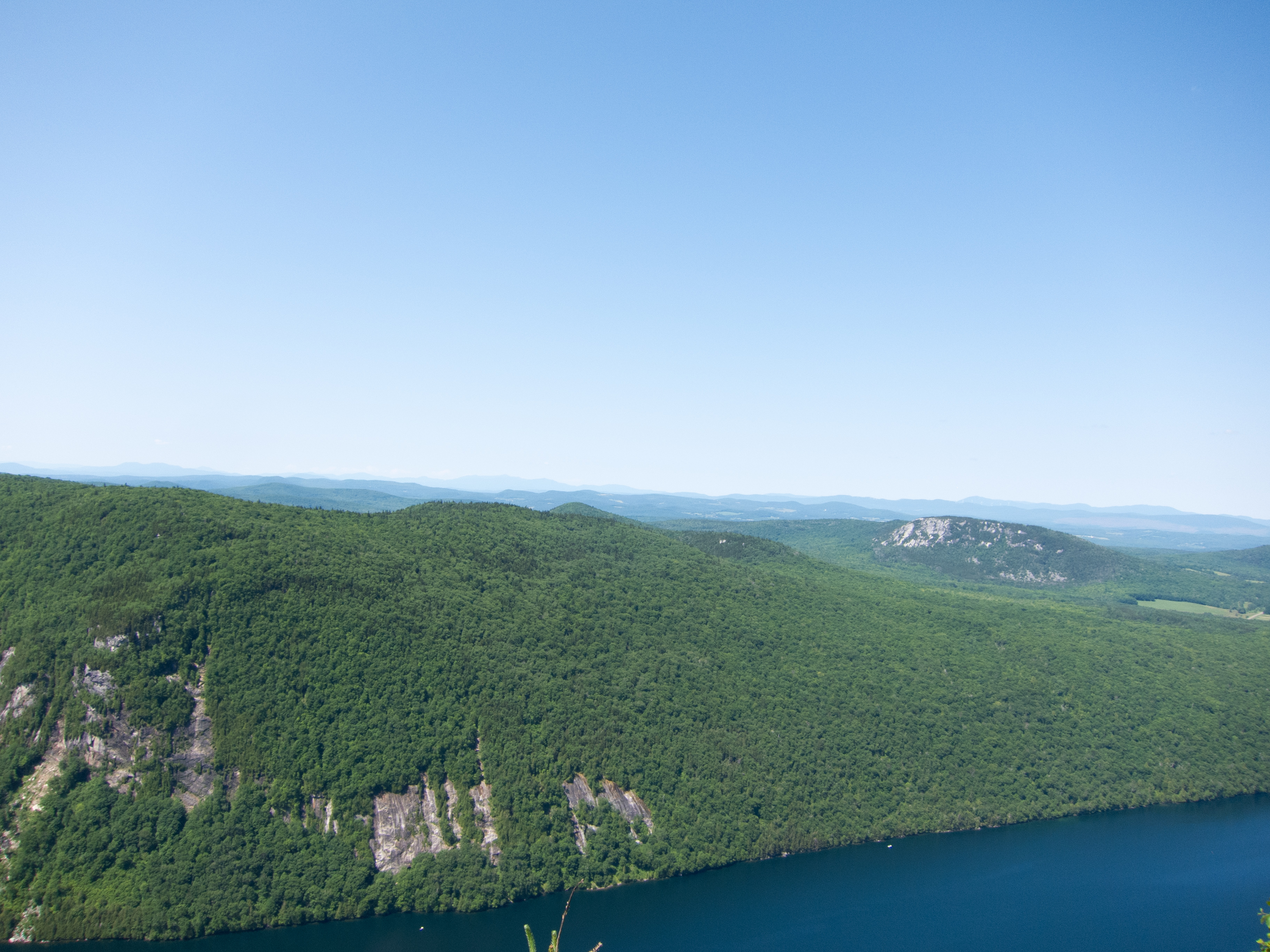
Mt. Pisgah

Mount Pisgah

Sugar Maple Bark (Acer saccharum) (2013.01.09) 03

Sugar Maple Bark (Acer saccharum) (2013.01.09) 02

Powderhorn lichen (Cladonia coniocraea) (May 11, 2013) 05

Black Locust Tree (Robinia pseudoacacia) at CLFHA (10 of 42) June 08, 2013

Lake Willoughby Color

Mt. Hor
Topographic Map of Baird Rd, Barton, VT, USA
Find elevation by address:

Places near Baird Rd, Barton, VT, USA:
7 Hunt Hill Rd, Brownington, VT, USA
135 May Pond Rd
50 Willoughby Lake Rd
396 Main St
16 Church St
381 Main St
Barton
1288 Pepin Rd
Schoolhouse Rd, Brownington, VT, USA
9 Sargent Ln
Glover
West Glover
Duck Pond Road
52 Access Ln
100 Damon Ln
194 Holy Moly Rd
732 Annis Brook Ln
732 Annis Brook Ln
732 Annis Brook Ln
Irasburg
Recent Searches:
- Elevation of Corso Fratelli Cairoli, 35, Macerata MC, Italy
- Elevation of Tallevast Rd, Sarasota, FL, USA
- Elevation of 4th St E, Sonoma, CA, USA
- Elevation of Black Hollow Rd, Pennsdale, PA, USA
- Elevation of Oakland Ave, Williamsport, PA, USA
- Elevation of Pedrógão Grande, Portugal
- Elevation of Klee Dr, Martinsburg, WV, USA
- Elevation of Via Roma, Pieranica CR, Italy
- Elevation of Tavkvetili Mountain, Georgia
- Elevation of Hartfords Bluff Cir, Mt Pleasant, SC, USA