Elevation of Anasazi Rd, Snowflake, AZ, USA
Location: United States > Arizona > Navajo County > Snowflake >
Longitude: -109.99947
Latitude: 34.5953504
Elevation: 1752m / 5748feet
Barometric Pressure: 82KPa
Elevation Map:
Satellite Map:
Related Photos:

View from Snowflake Arizona L.D.S. Temple

View from Snowflake Arizona L.D.S. Temple

HWY. 191

20181207-FS-APACHE-SITGREAVES-LSC-0319
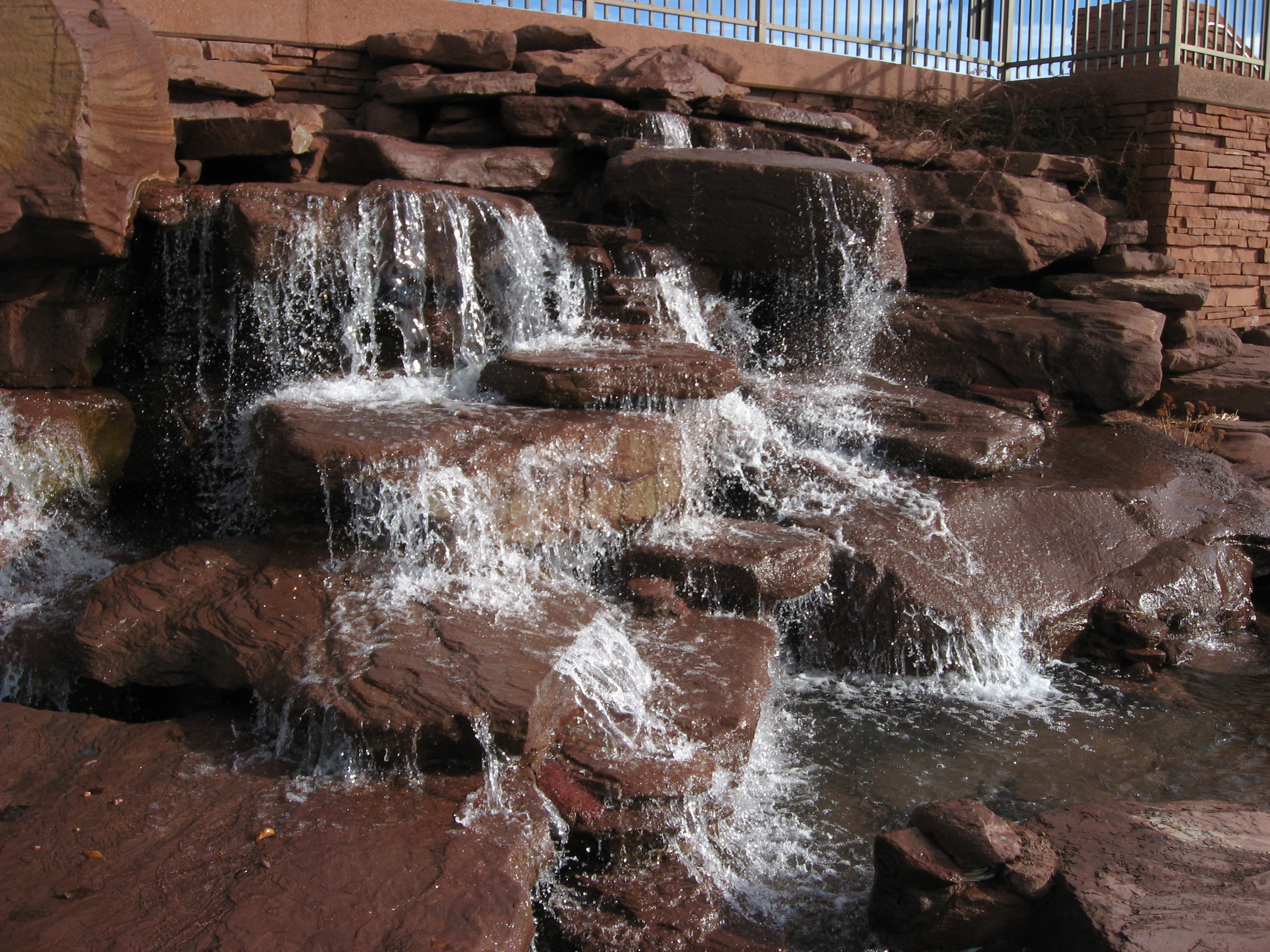
Snowflake Arizona L.D.S. Temple Waterfall

Steady....... #Silvercreek #Canyon #hiking #climbing #geocaching #snowflake #arizona #instagramaz #instaaz #cliff #southwest

Horse Shoe Bend, Arizona

IMG_7165-Recovered

Silvercreek Canyon #instaaz #instagramaz #southwest #climbing #cliff #canyon #arizona #hiking

near Snowflake, AZ, United States
Topographic Map of Anasazi Rd, Snowflake, AZ, USA
Find elevation by address:

Places near Anasazi Rd, Snowflake, AZ, USA:
8148 Buckskin Trail
5468 Valley Rd
9700 Willis Hill Trail
Snowflake
111 E 1/2 St N
3885 Dusty Rd
San Carlos Road
North View Road
90 W Country Club Dr
4241 Colt Rd
19 Center St, Snowflake, AZ, USA
Taylor
1st St, Holbrook, AZ, USA
Woodruff
Shumway
Shumway Rd, Show Low, AZ, USA
1937 Lone Star Rd
1937 Lone Star Rd
2356 Laguna Rd
Well Road
Recent Searches:
- Elevation of Corso Fratelli Cairoli, 35, Macerata MC, Italy
- Elevation of Tallevast Rd, Sarasota, FL, USA
- Elevation of 4th St E, Sonoma, CA, USA
- Elevation of Black Hollow Rd, Pennsdale, PA, USA
- Elevation of Oakland Ave, Williamsport, PA, USA
- Elevation of Pedrógão Grande, Portugal
- Elevation of Klee Dr, Martinsburg, WV, USA
- Elevation of Via Roma, Pieranica CR, Italy
- Elevation of Tavkvetili Mountain, Georgia
- Elevation of Hartfords Bluff Cir, Mt Pleasant, SC, USA