Elevation of Lone Star Rd, White Mountain Lakes Estates, AZ, USA
Location: United States > Arizona > Navajo County > Snowflake >
Longitude: -109.90041
Latitude: 34.4133288
Elevation: 1850m / 6070feet
Barometric Pressure: 81KPa
Elevation Map:
Satellite Map:
Related Photos:
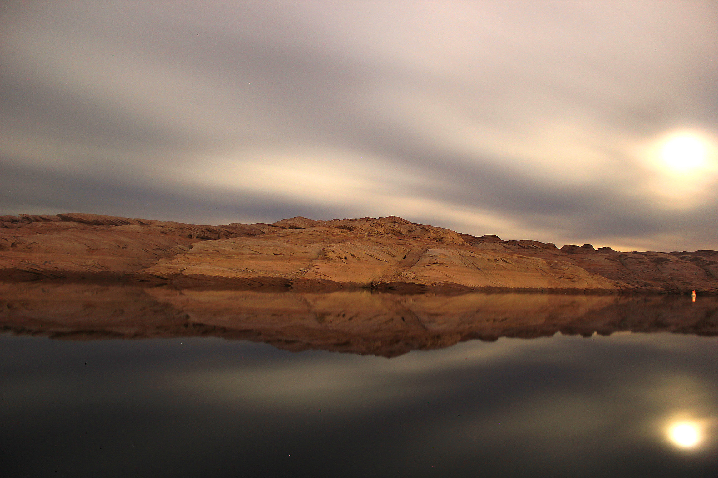
Lake Powell

HWY. 191
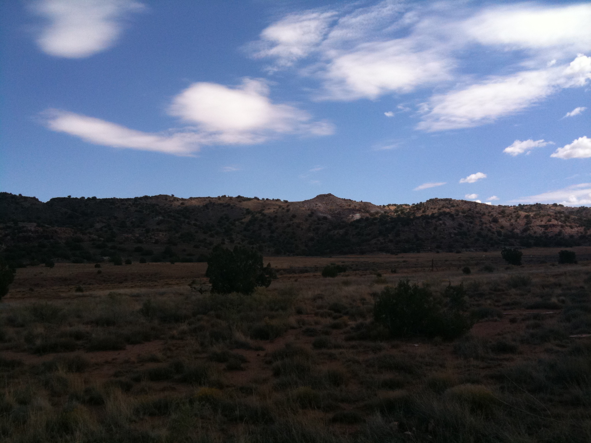
The view 4
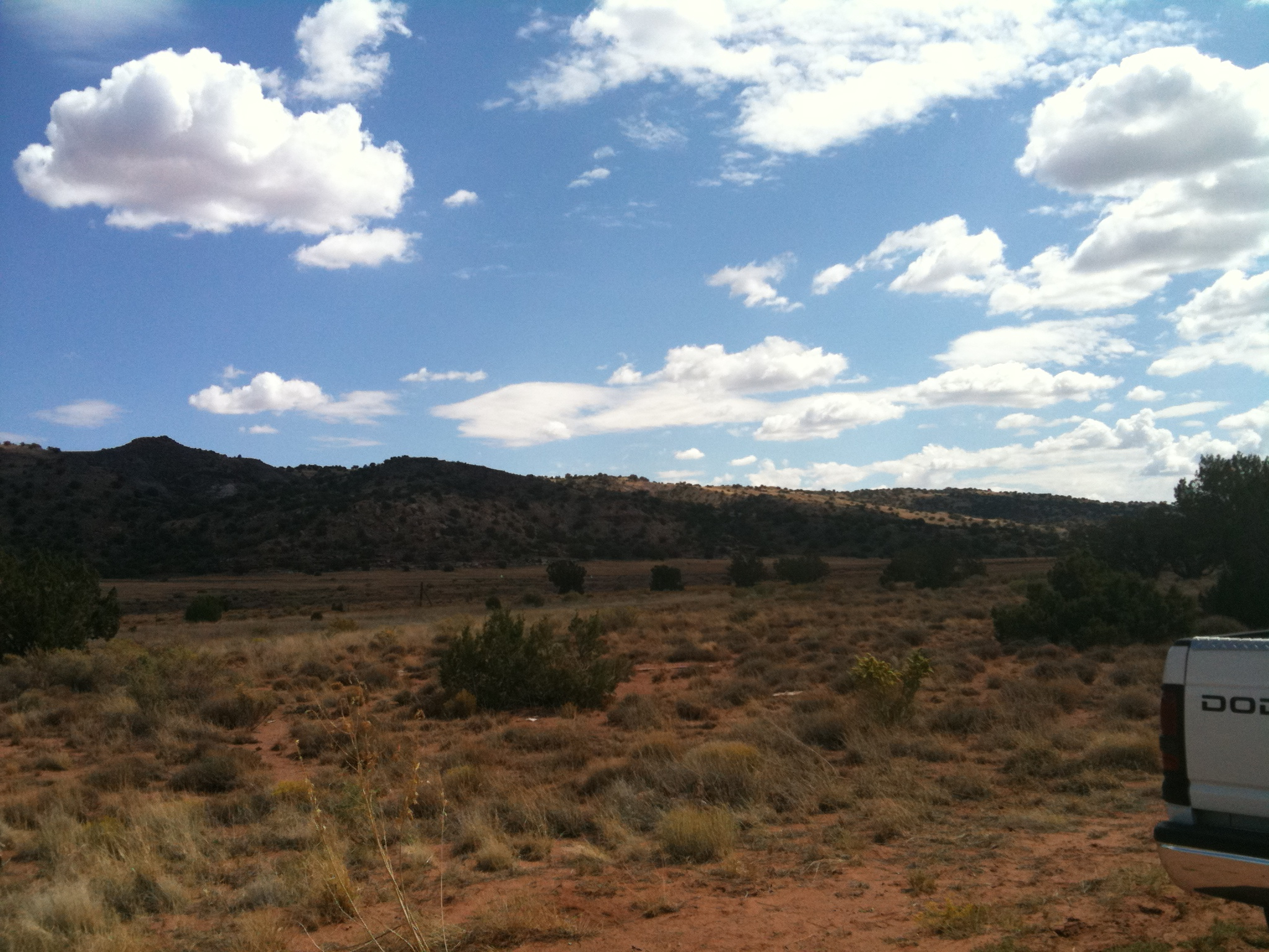
The view 2
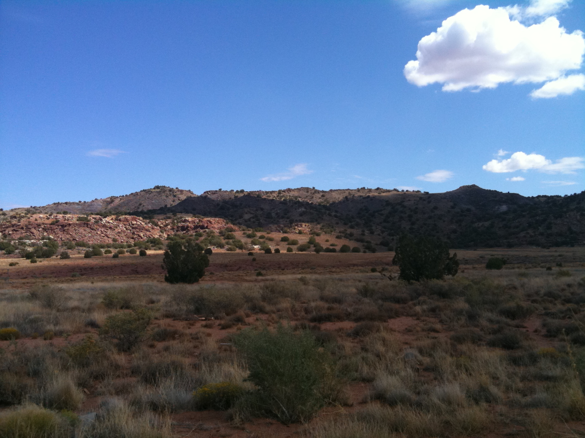
The view
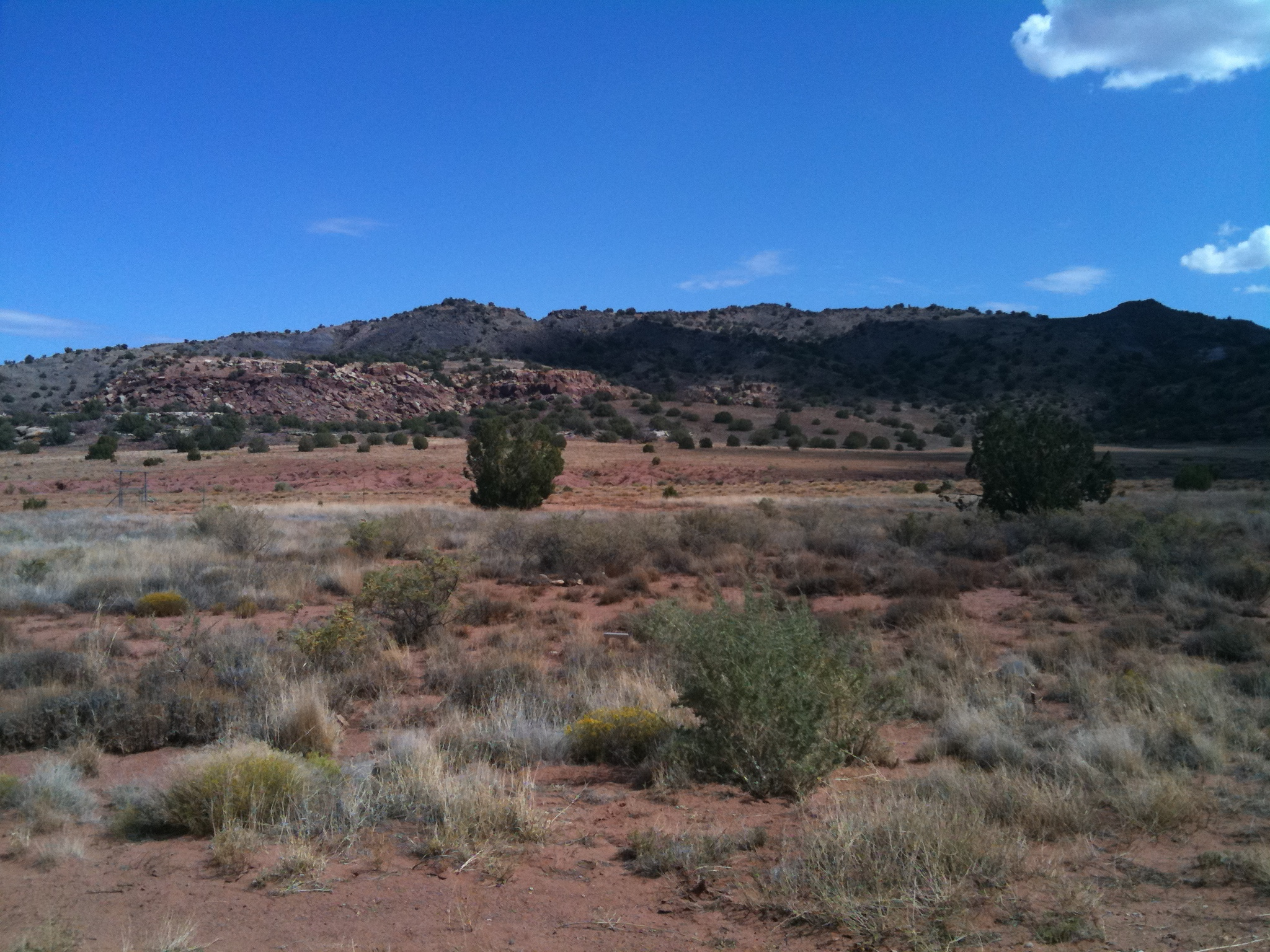
The view 3
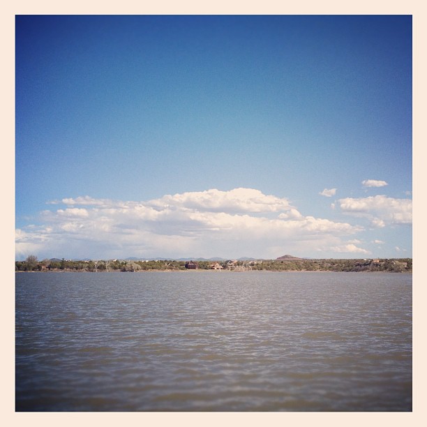
Kayaking on White Mountain Lake
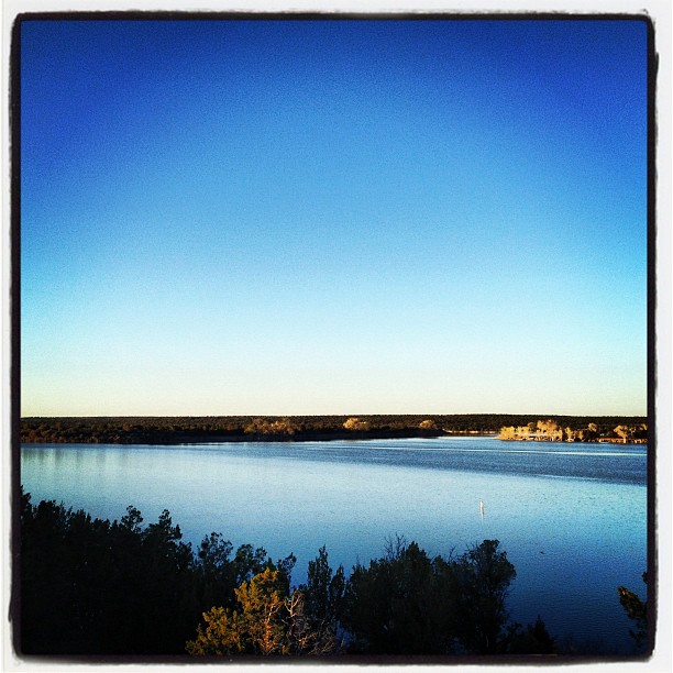
Calm.
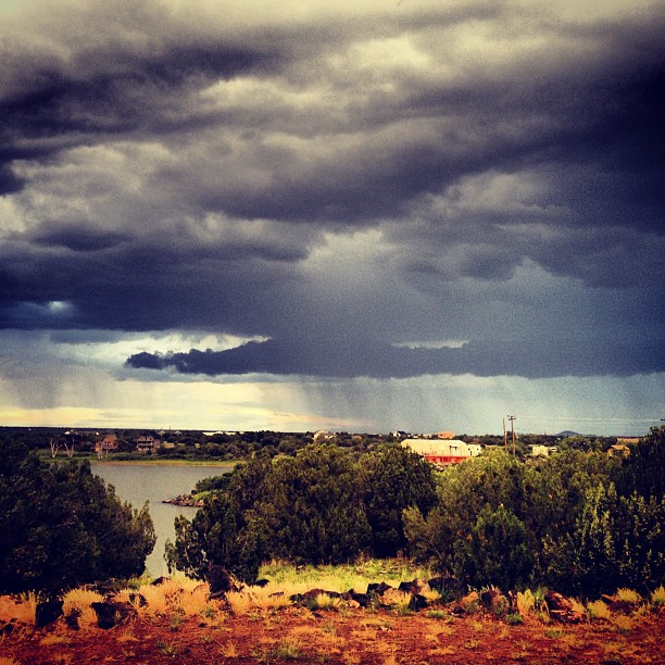
Made it to the cool & stormy weather of Show Low.

Nice big puffy clouds up here in Show Low, but its still hot.
Topographic Map of Lone Star Rd, White Mountain Lakes Estates, AZ, USA
Find elevation by address:

Places near Lone Star Rd, White Mountain Lakes Estates, AZ, USA:
1937 Lone Star Rd
2356 Laguna Rd
San Carlos Road
3885 Dusty Rd
9284 Chimisa Ranch Rd
Hill Place
2035 Silver Lake Blvd
2051 Silver Lake Blvd
4241 Colt Rd
Lakeside Drive
Lakeside Dr, Show Low, AZ, USA
1863 Daggs Pl
8935 Tomahawk Trail
71 Cr N8158
Juniper Ridge Resort
Well Road
White Mountain Lake Road
County Road 8030
38 Co Rd 3314
Sitgreaves Ranch Road
Recent Searches:
- Elevation of Corso Fratelli Cairoli, 35, Macerata MC, Italy
- Elevation of Tallevast Rd, Sarasota, FL, USA
- Elevation of 4th St E, Sonoma, CA, USA
- Elevation of Black Hollow Rd, Pennsdale, PA, USA
- Elevation of Oakland Ave, Williamsport, PA, USA
- Elevation of Pedrógão Grande, Portugal
- Elevation of Klee Dr, Martinsburg, WV, USA
- Elevation of Via Roma, Pieranica CR, Italy
- Elevation of Tavkvetili Mountain, Georgia
- Elevation of Hartfords Bluff Cir, Mt Pleasant, SC, USA