Elevation of Shumway Rd, Show Low, AZ, USA
Location: United States > Arizona > Navajo County > Show Low >
Longitude: -110.07432
Latitude: 34.406511
Elevation: 1743m / 5718feet
Barometric Pressure: 82KPa
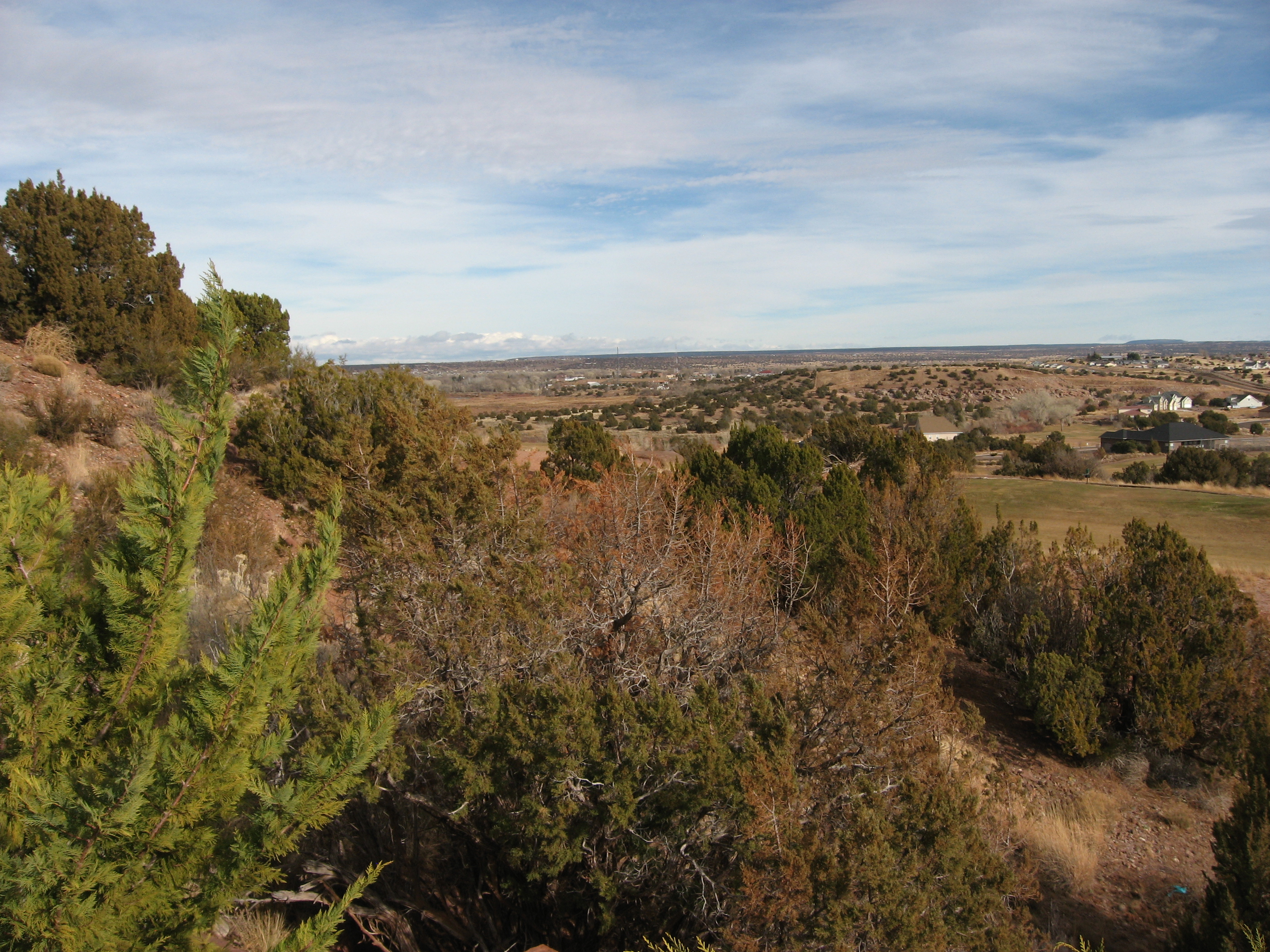
Elevation Map:
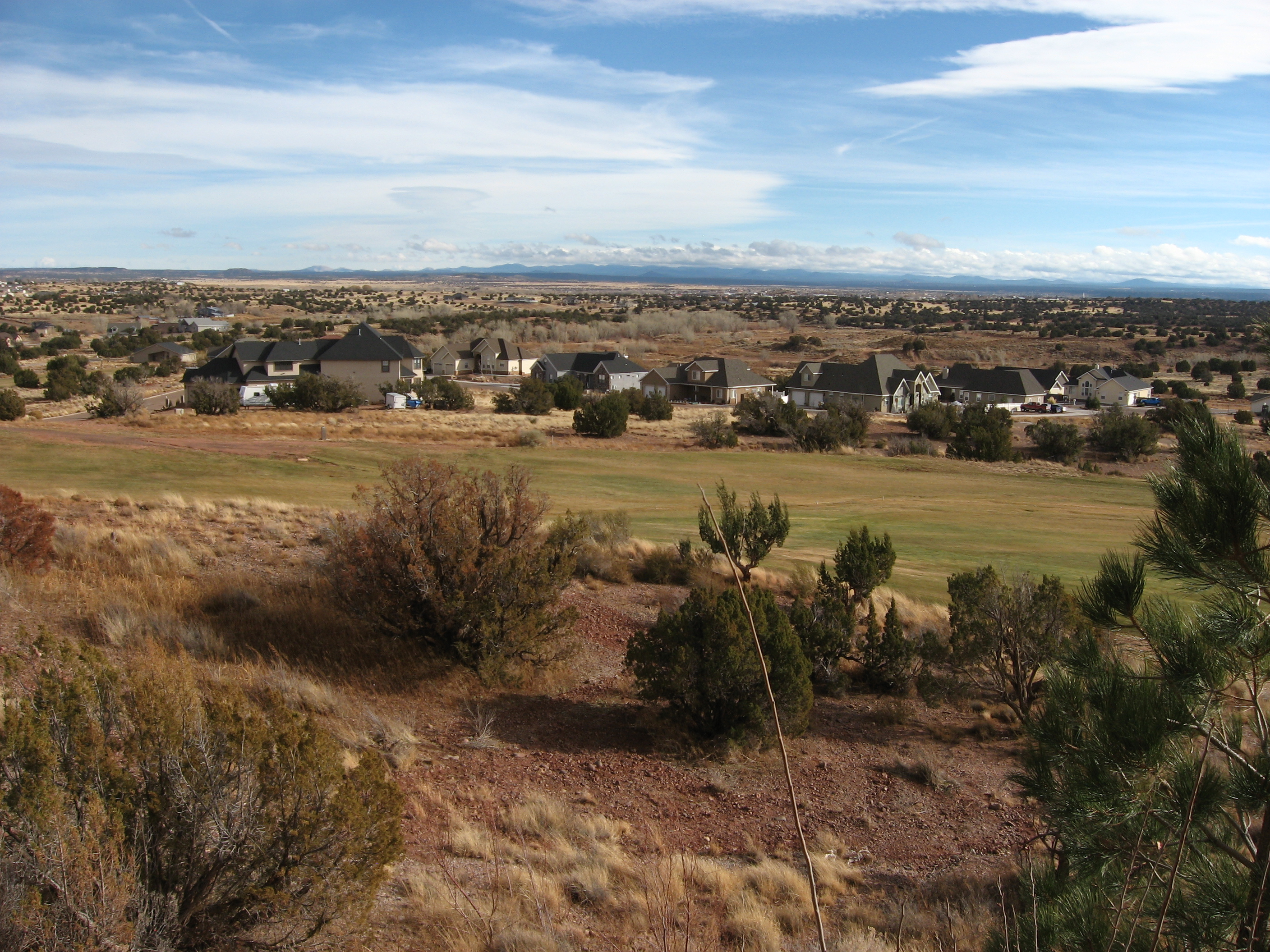
Satellite Map:
Related Photos:
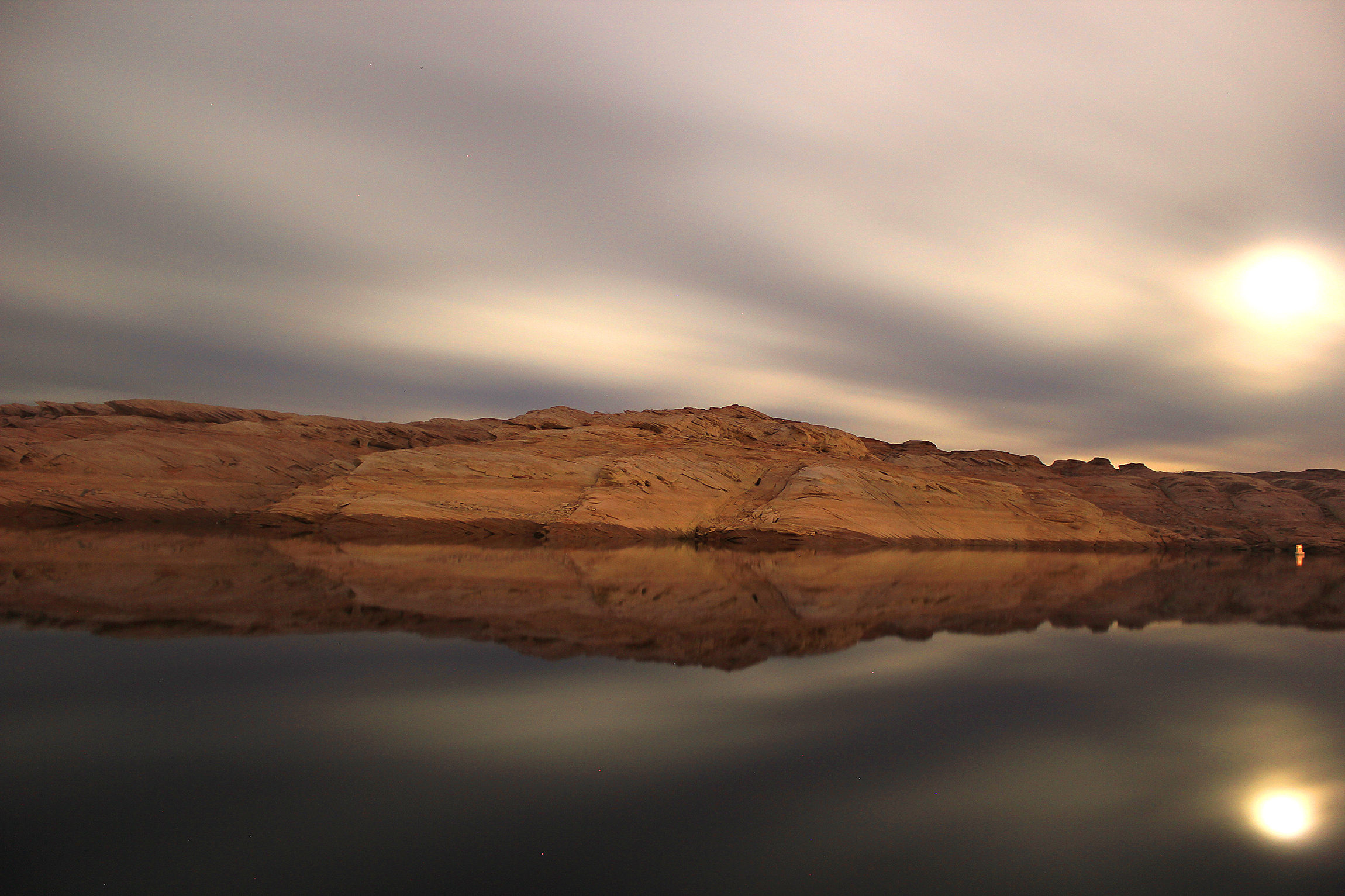
Lake Powell
“Chance is always powerful. Let your hook be always cast; in the pool where you least expect it, there will be a fish.” ~Ovid

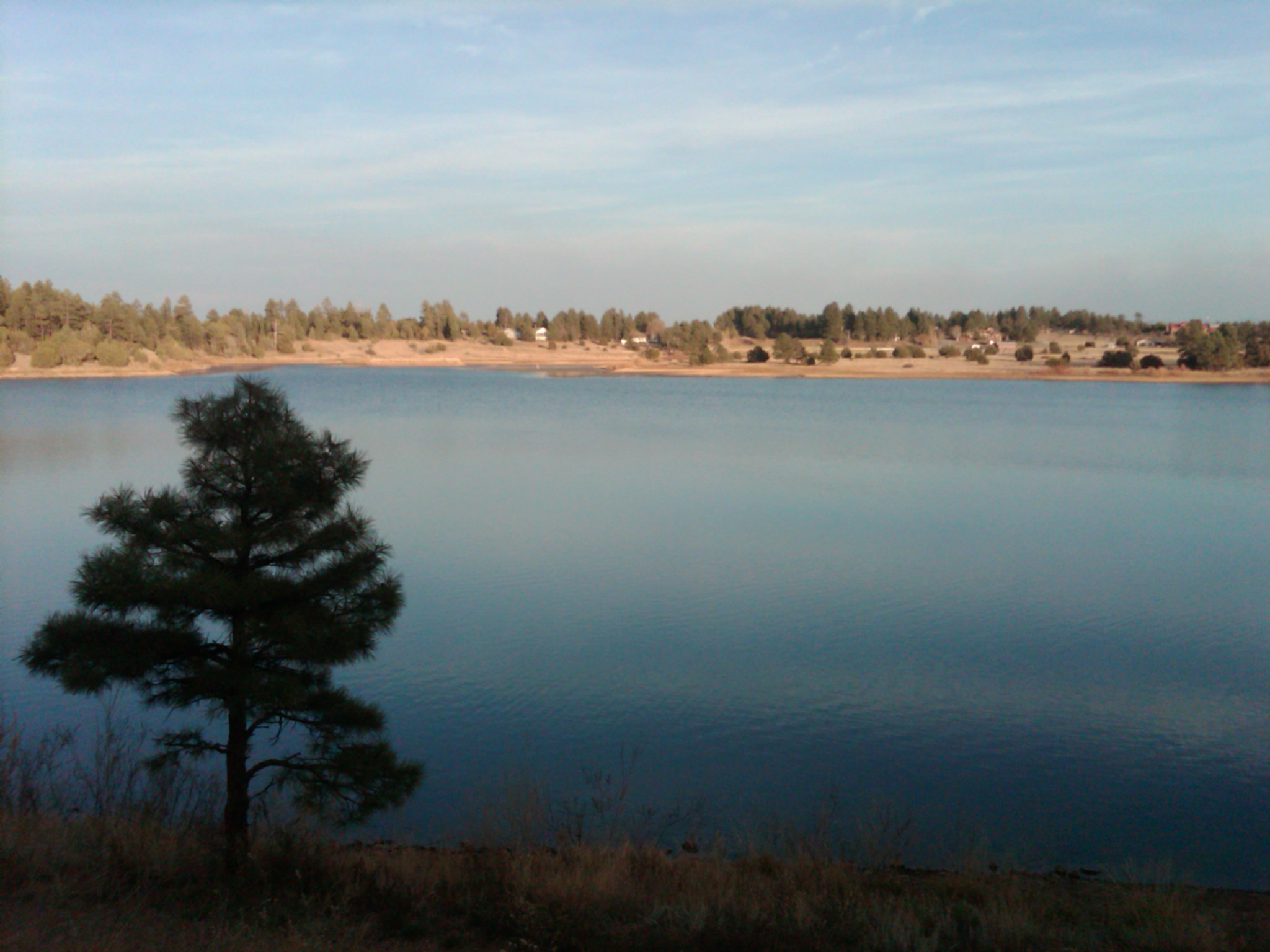
Fool Hollow reflections
View from Snowflake Arizona L.D.S. Temple

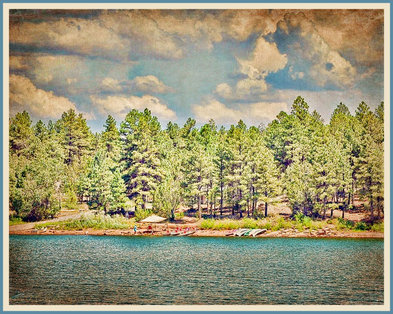
sepia campground view
View from Snowflake Arizona L.D.S. Temple

Blue Grosbeak

HWY. 191

This is how you tickle the underside of a Bull (not recommended) - 9897
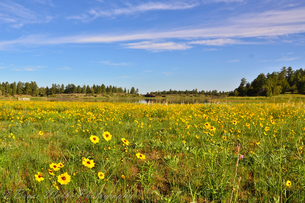
Kayaking on White Mountain Lake
Good Morning from Show Low
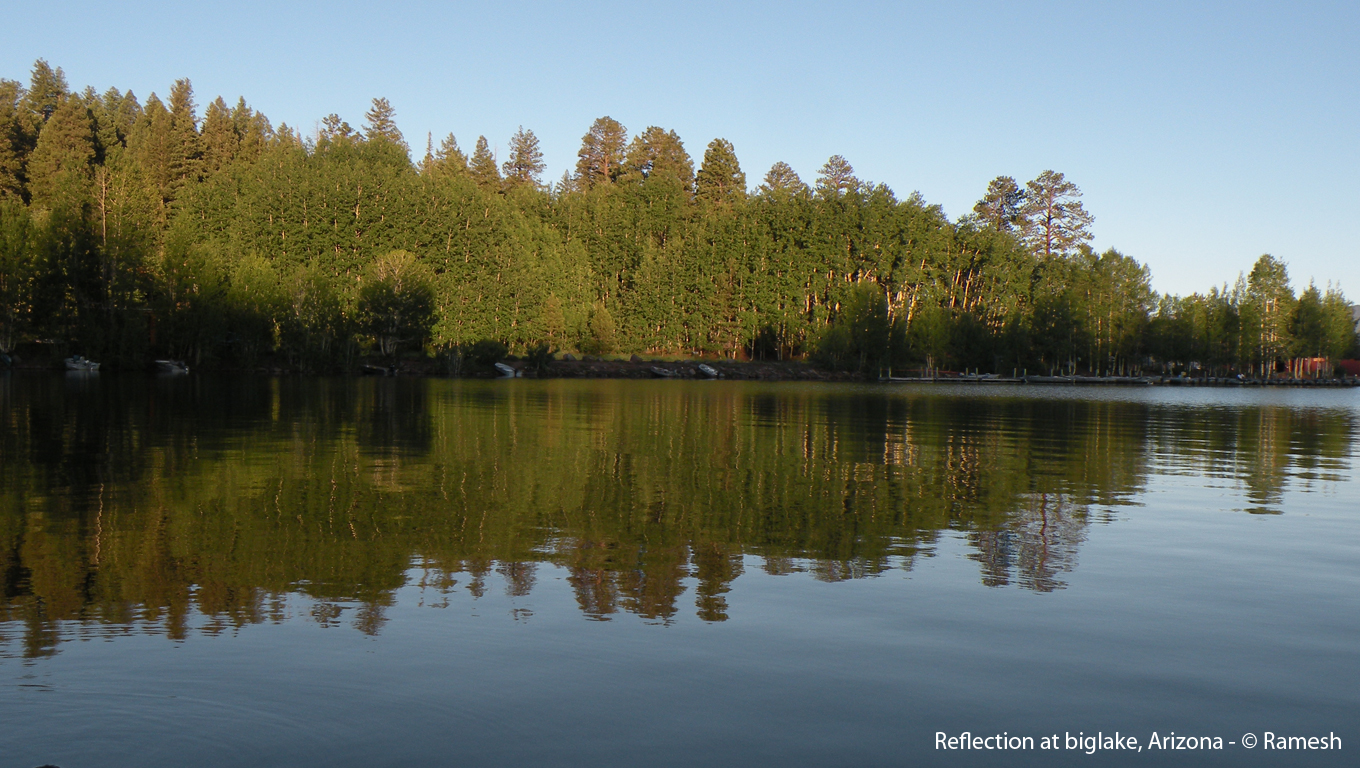
reflection at biglake, Arizona

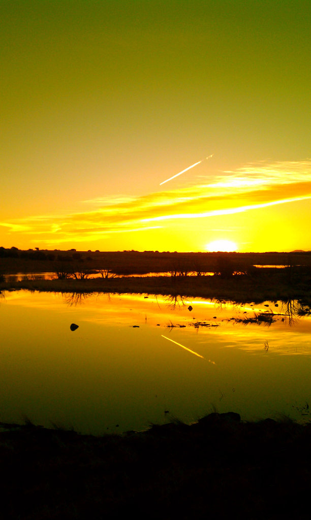
Frozen Eastern AZ #Sunset #instaaz #snow
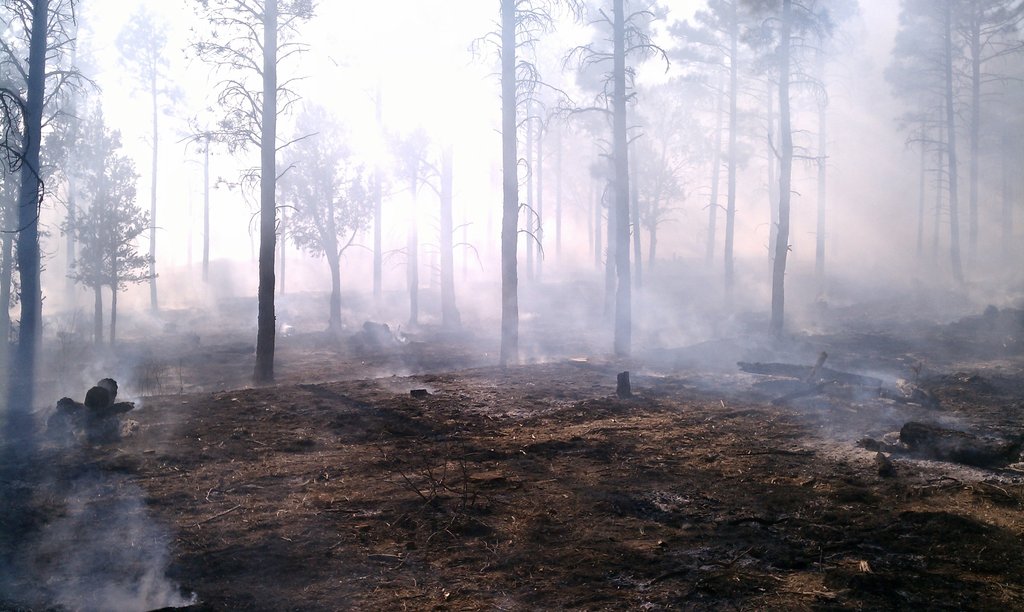
Burning has concluded.

I am the great Beetle Trainer! And for its next trick.....#beetle #bug #butt #instaaz #instagramaz #instagramhub #skysnappers #blueplanet
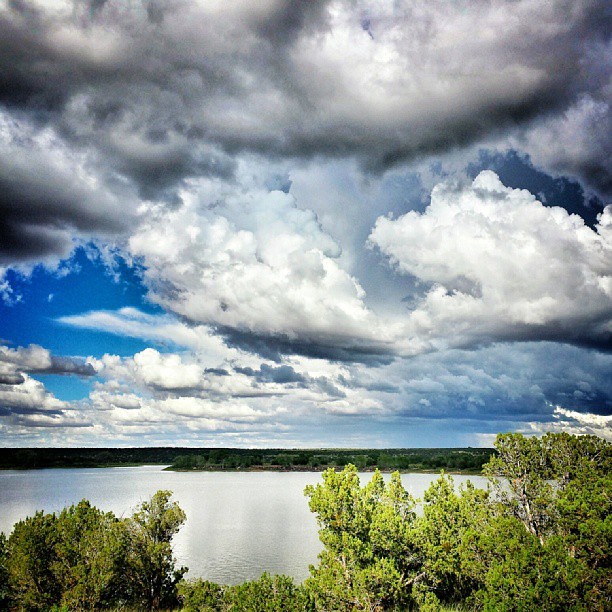
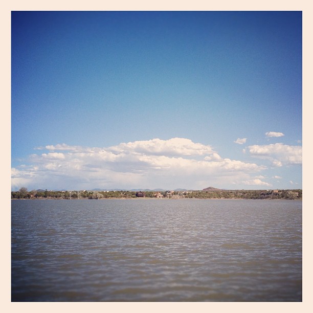
Great big clouds hovering over White Mountain Lake today.
Calm.

Sunrise at Pintail Lake, Show Low, AZ
Made it to the cool & stormy weather of Show Low.
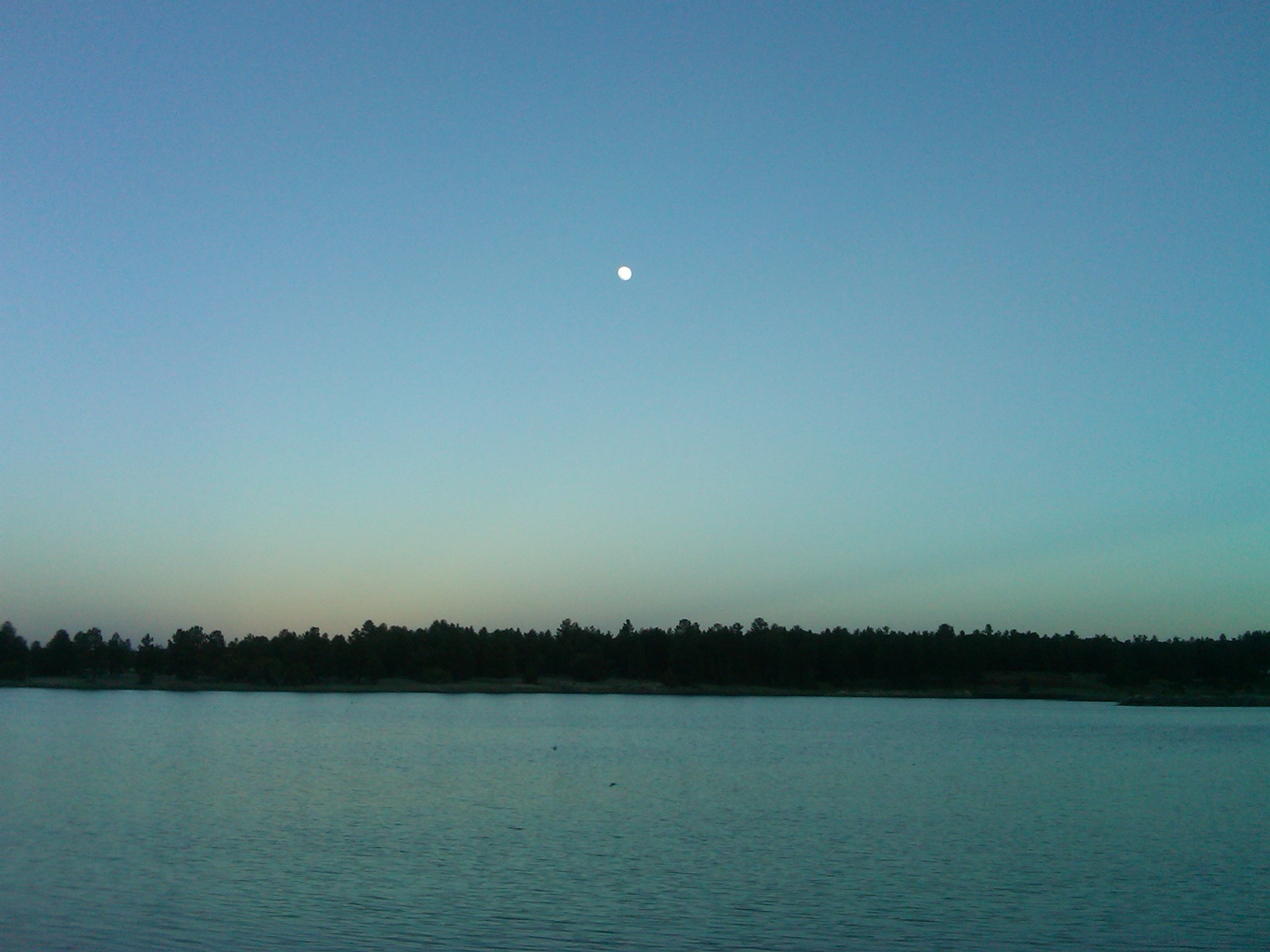
Fools Hollow Lake at Dusk

Fools Hollow Lake at Dusk
Fool Hollow Lake Recreation
Golden Shores
Fools Hollow, Show Low, AZ 85901
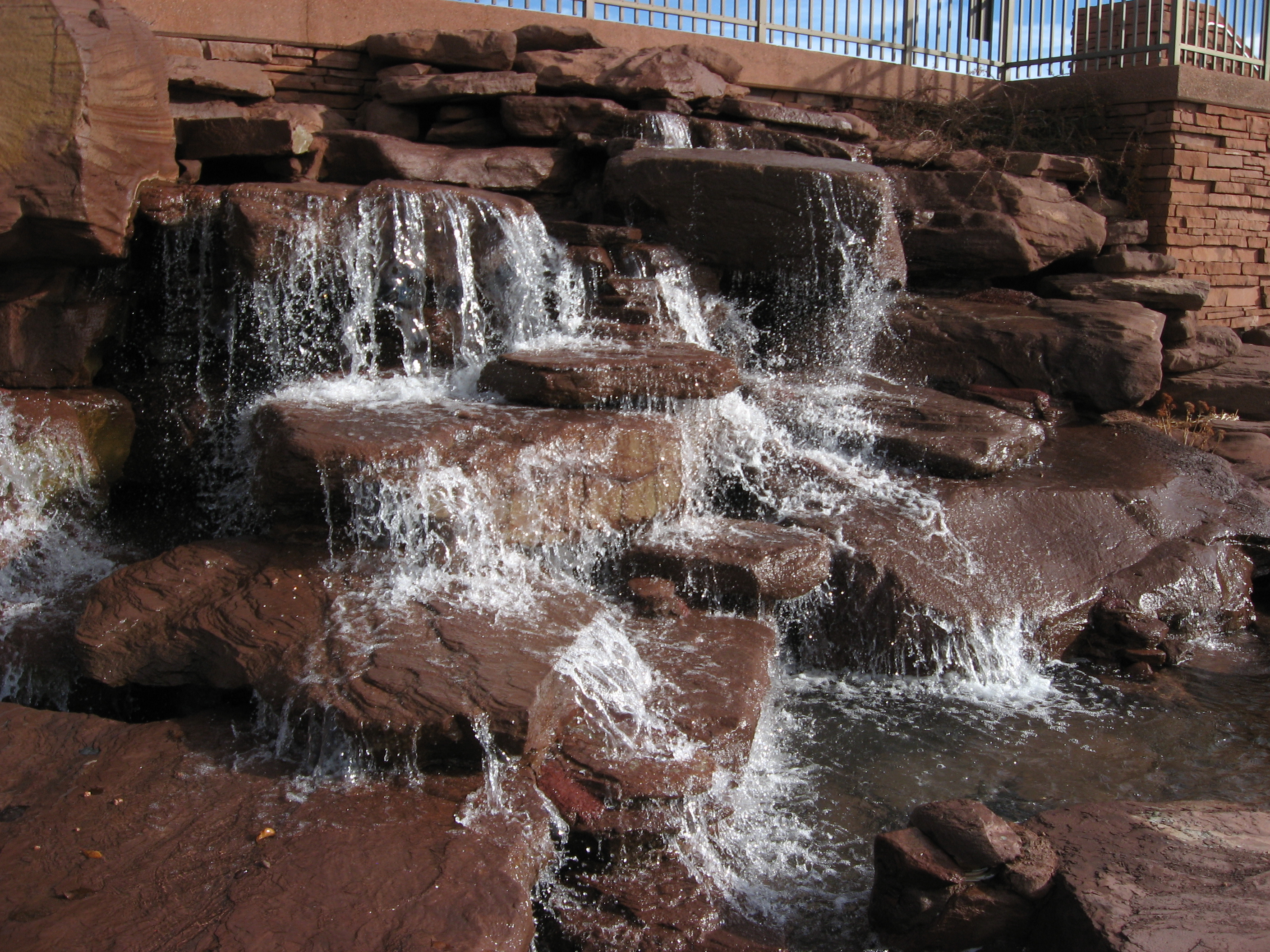
Snowflake Arizona L.D.S. Temple Waterfall

My #instagramaz_pov in Show Low, AZ. How does an animal do this? #poop #stump #nature
Topographic Map of Shumway Rd, Show Low, AZ, USA
Find elevation by address:

Places near Shumway Rd, Show Low, AZ, USA:
Shumway
Sitgreaves Ranch Road
Show Low, AZ, USA
19 Center St, Snowflake, AZ, USA
Taylor
White Mountain Lake Road
Well Road
Juniper Ridge Resort
Lakeside Dr, Show Low, AZ, USA
1863 Daggs Pl
Lakeside Drive
2051 Silver Lake Blvd
2035 Silver Lake Blvd
111 E 1/2 St N
Snowflake
Hill Place
North View Road
90 W Country Club Dr
Brown Ln, Show Low, AZ, USA
2356 Laguna Rd
Recent Searches:
- Elevation of Corso Fratelli Cairoli, 35, Macerata MC, Italy
- Elevation of Tallevast Rd, Sarasota, FL, USA
- Elevation of 4th St E, Sonoma, CA, USA
- Elevation of Black Hollow Rd, Pennsdale, PA, USA
- Elevation of Oakland Ave, Williamsport, PA, USA
- Elevation of Pedrógão Grande, Portugal
- Elevation of Klee Dr, Martinsburg, WV, USA
- Elevation of Via Roma, Pieranica CR, Italy
- Elevation of Tavkvetili Mountain, Georgia
- Elevation of Hartfords Bluff Cir, Mt Pleasant, SC, USA