Elevation of Brown Ln, Show Low, AZ, USA
Location: United States > Arizona > Navajo County > Show Low >
Longitude: -110.09479
Latitude: 34.293119
Elevation: 1848m / 6063feet
Barometric Pressure: 81KPa
Elevation Map:
Satellite Map:
Related Photos:
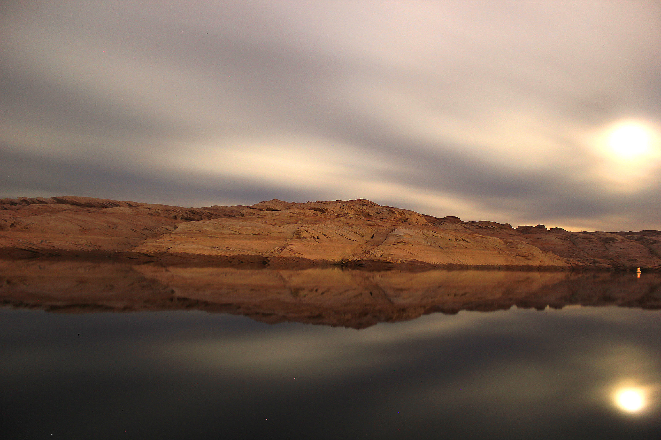
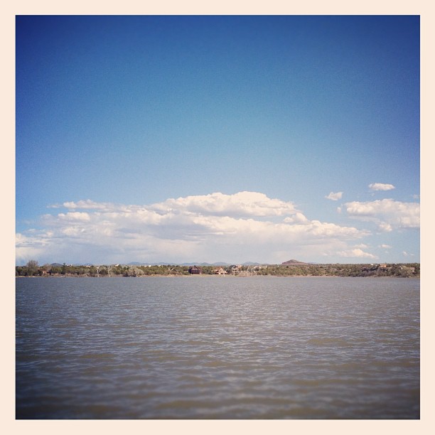
Lake Powell
“Chance is always powerful. Let your hook be always cast; in the pool where you least expect it, there will be a fish.” ~Ovid
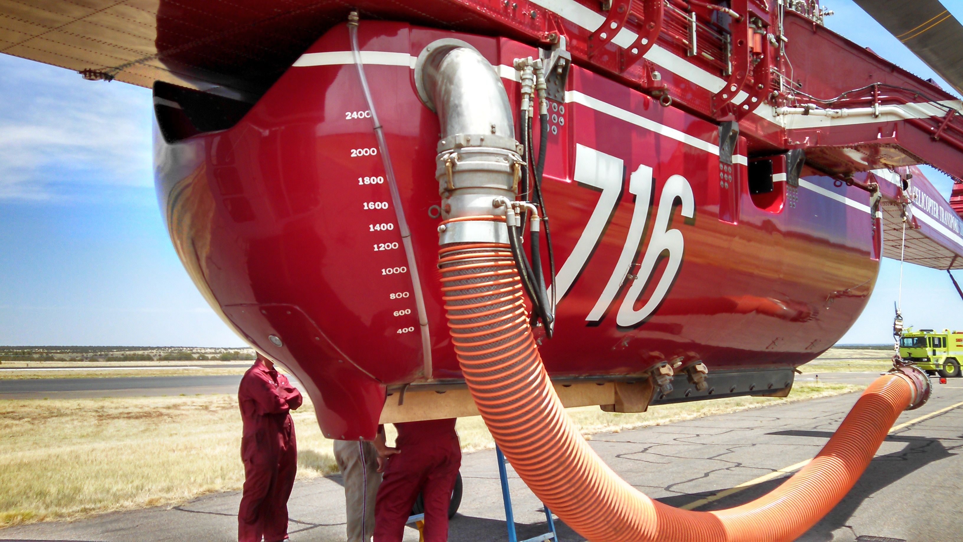
N716HT, S.L. AIRPORT, 6-15-14 (1)

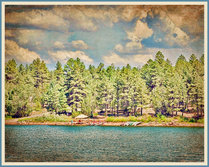
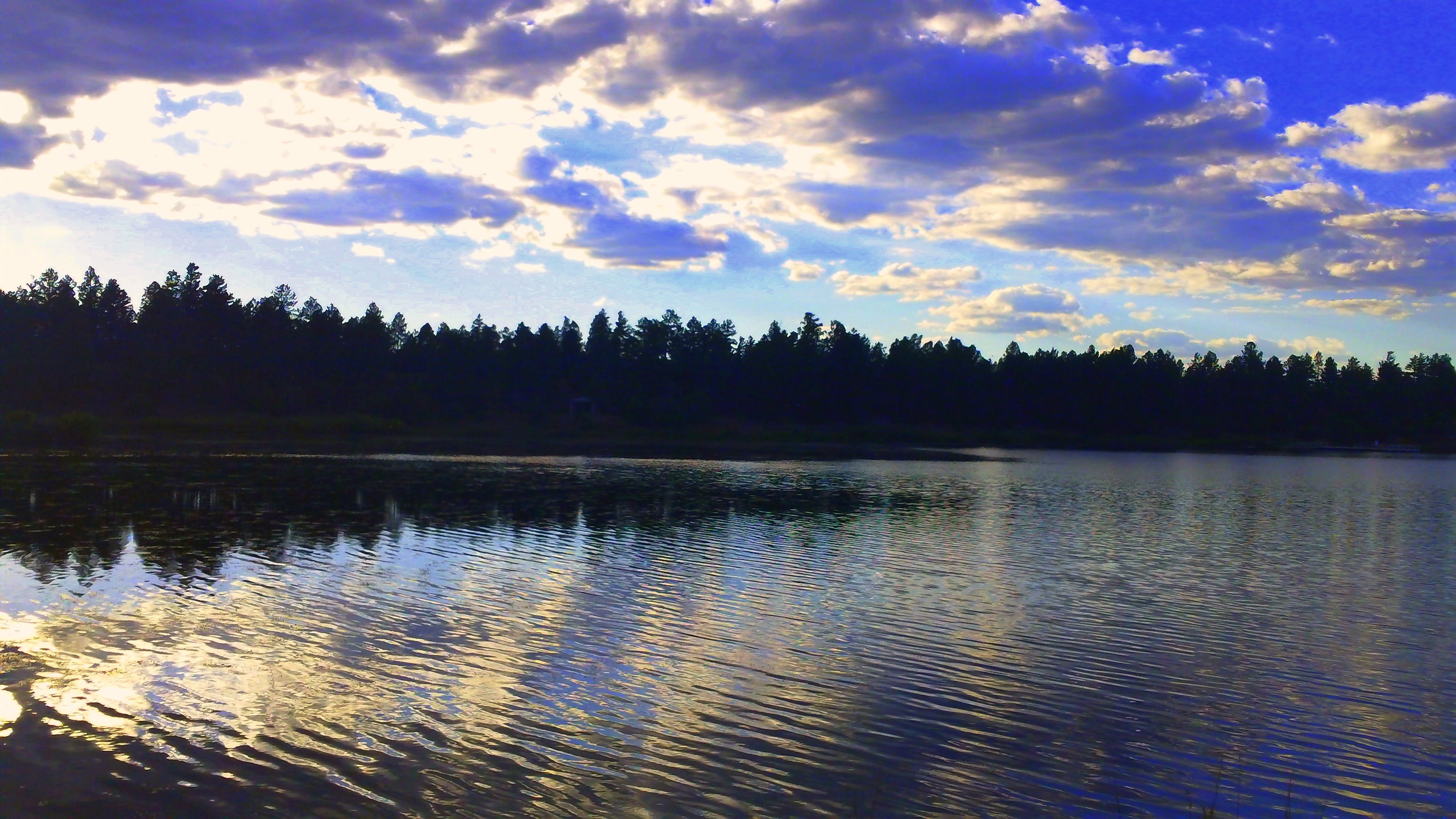
Fool Hollow reflections
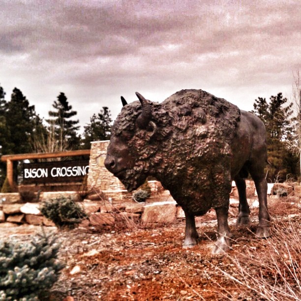
The view on halfway point of my trail run. #bison #showlow #arizona #instaaz #instagramaz #nature

sepia campground view
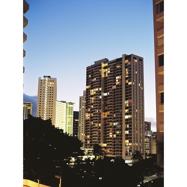
View from my hotel room in Honolulu. #pentax645n #kodak #kodakektar #hawaiiwedding #hawaii #hawaiibeachwedding #hawaiiphotographer #minsonweddings #filmrocks #filmcowboy #filmisnotdead #filmkilleddigital #honolulu #iheartfilm @thefindlab

Blue Grosbeak

Beneath the Bridge
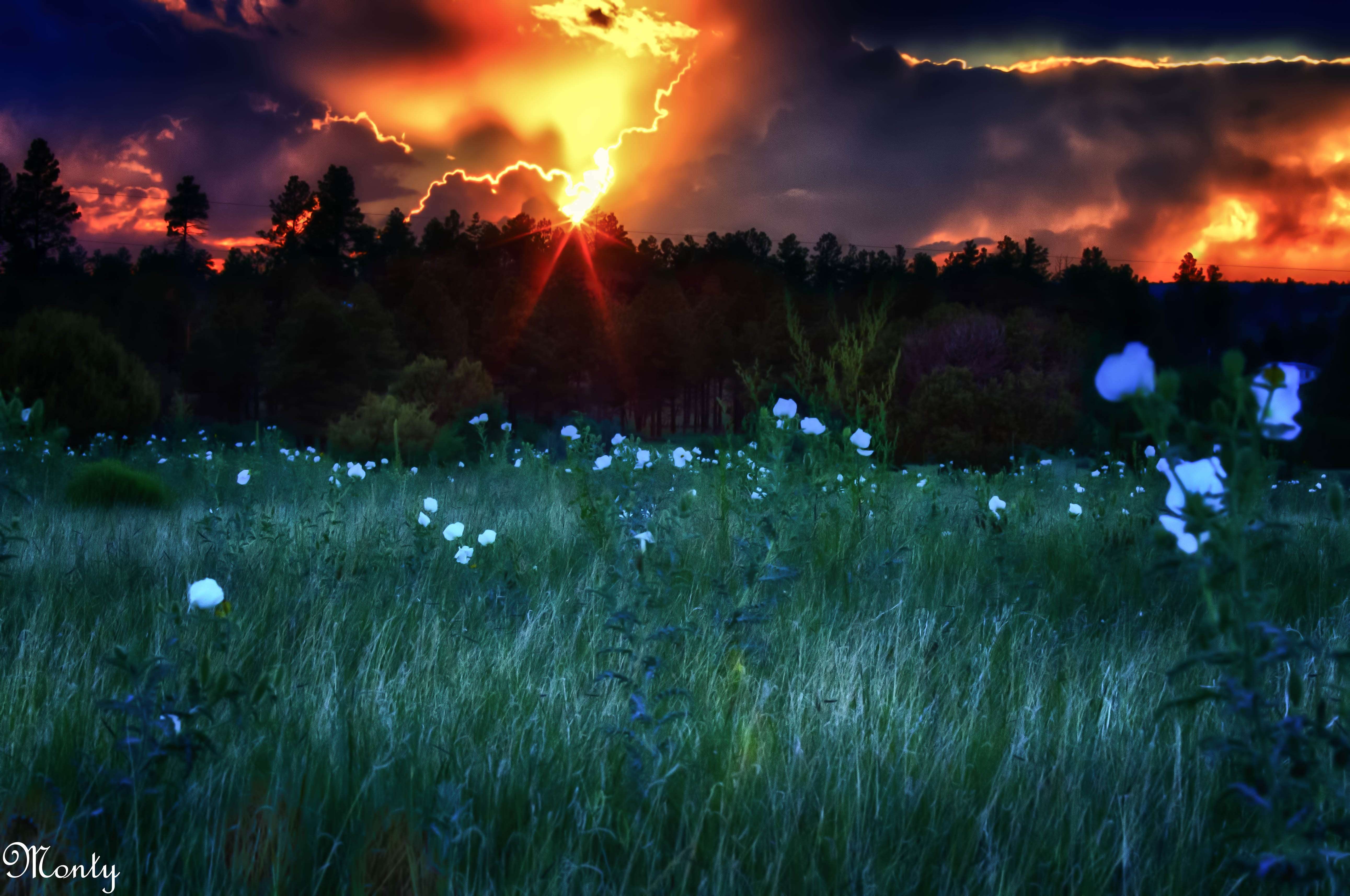
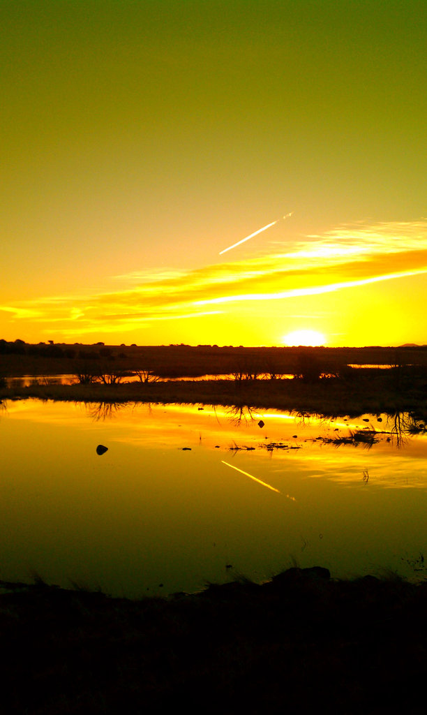
Sunset, Linden Arizona
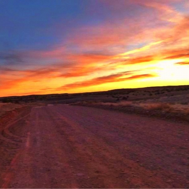
A great sunset on the Woodruff Hwy. It should be noted that the word great & Woodruff should never be used in a sentence together but in this case the sunset was to spectacular. #woodruff #sunset #road #dirt #arizona #blue_planet #instagramaz #instaaz #ne

Sunset on the Woodruff Highway. Ok, highway is a stretch, it’s more like a dirt road/wagon trail that dead ends and then your stuck in Woodruff FOREEEVERRRR…… #woodruff #instaaz #instagram #blue_planet #arizona #instagramaz #dirt #road #sunset #dusk #nei
Kayaking on White Mountain Lake
Good Morning from Show Low
W Nikolaus & W Oliver, Show Low, AZ , United States

The "Bambi" Bucket. #aviation #instagramaz #instaaz #wildland #arizona #usfs #helicopter #heavy #fire #instaaz
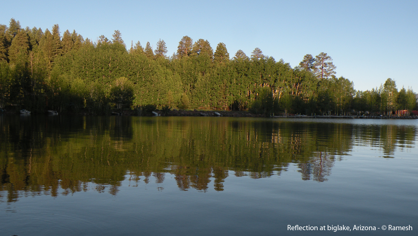
reflection at biglake, Arizona
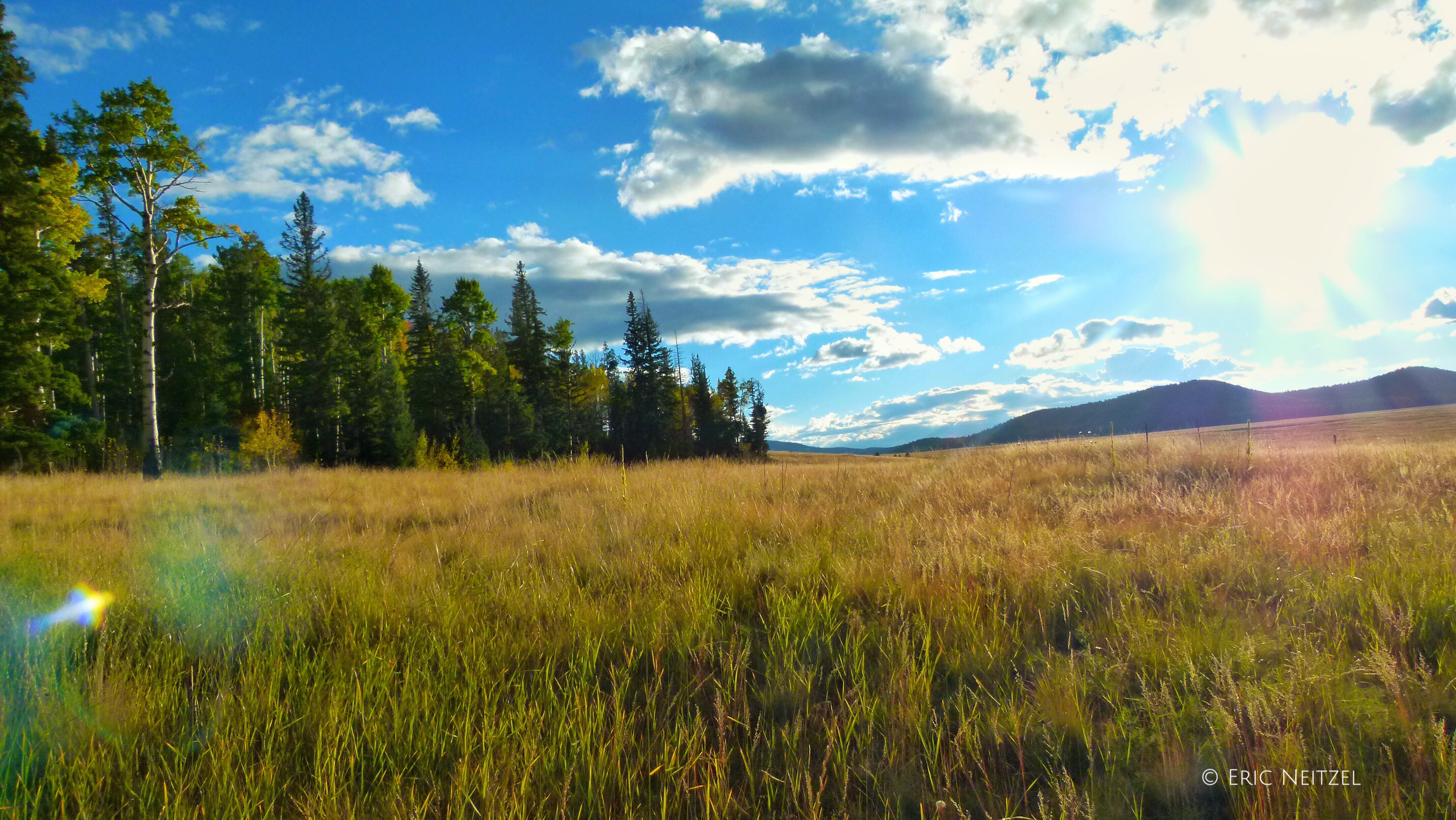
Fall in the White Mountains of Eastern Arizona

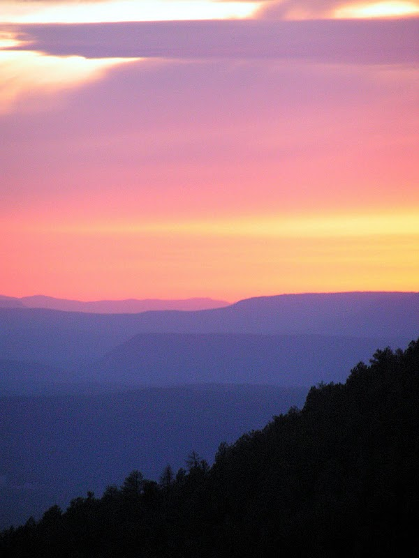
Frozen Eastern AZ #Sunset #instaaz #snow
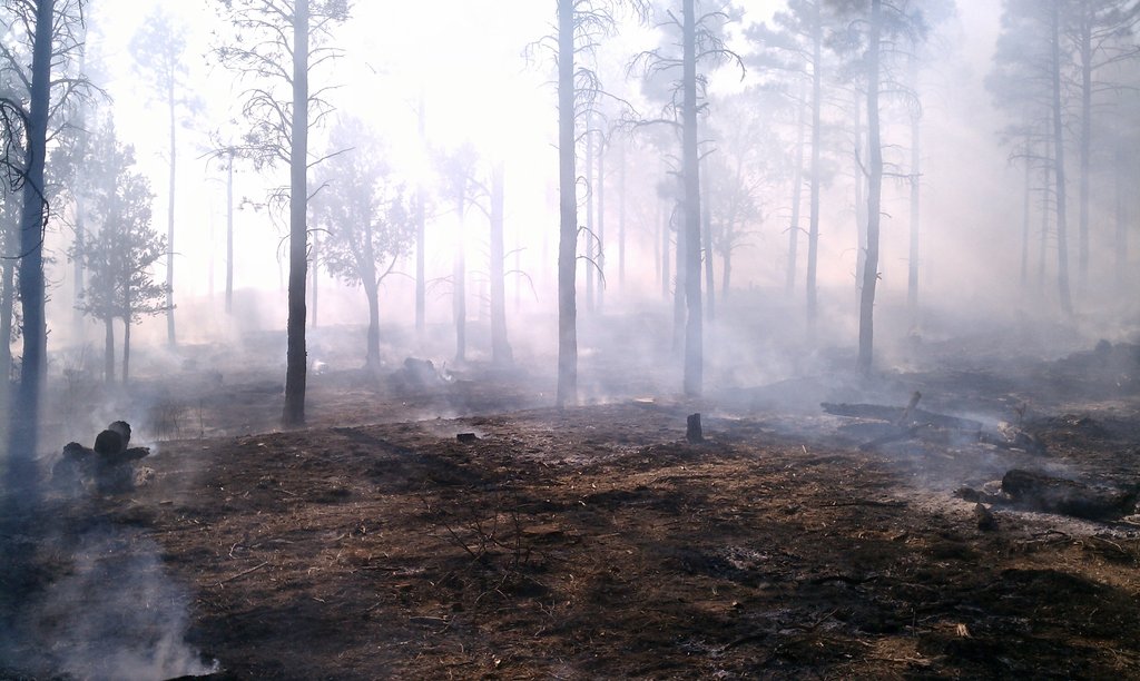
Burning has concluded.

I am the great Beetle Trainer! And for its next trick.....#beetle #bug #butt #instaaz #instagramaz #instagramhub #skysnappers #blueplanet
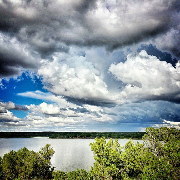
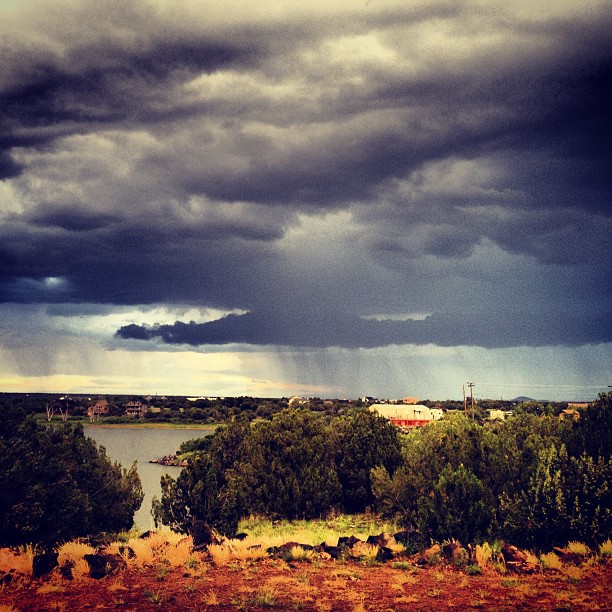
Great big clouds hovering over White Mountain Lake today.
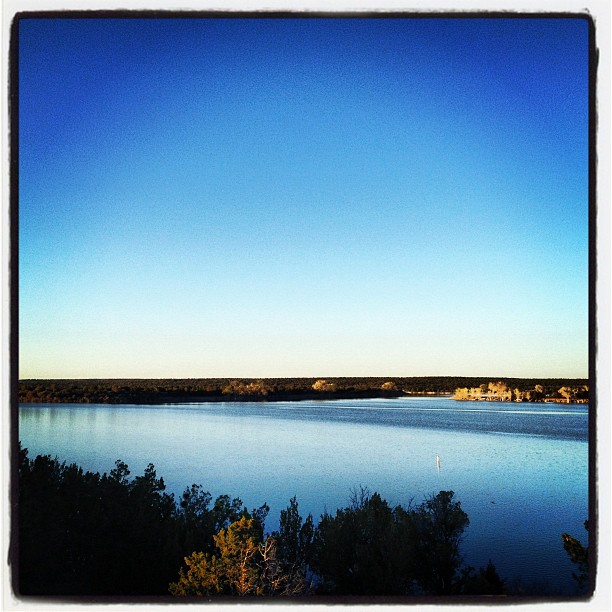
Calm.
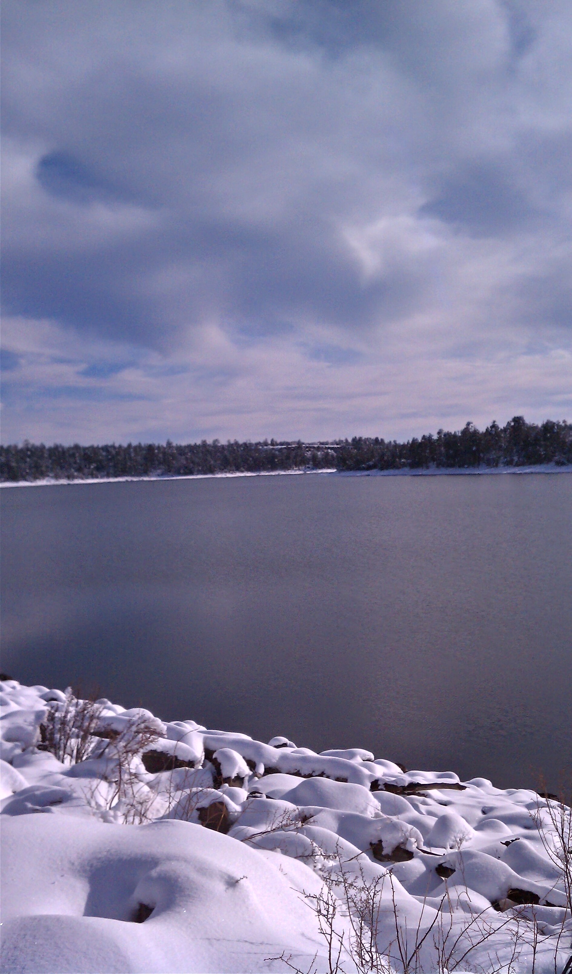
Snow Low Lake
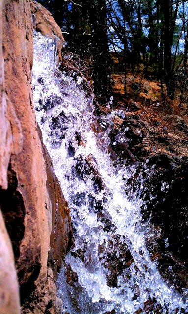
Water Falling at Woodland Lake
Sunrise at Pintail Lake, Show Low, AZ
Made it to the cool & stormy weather of Show Low.
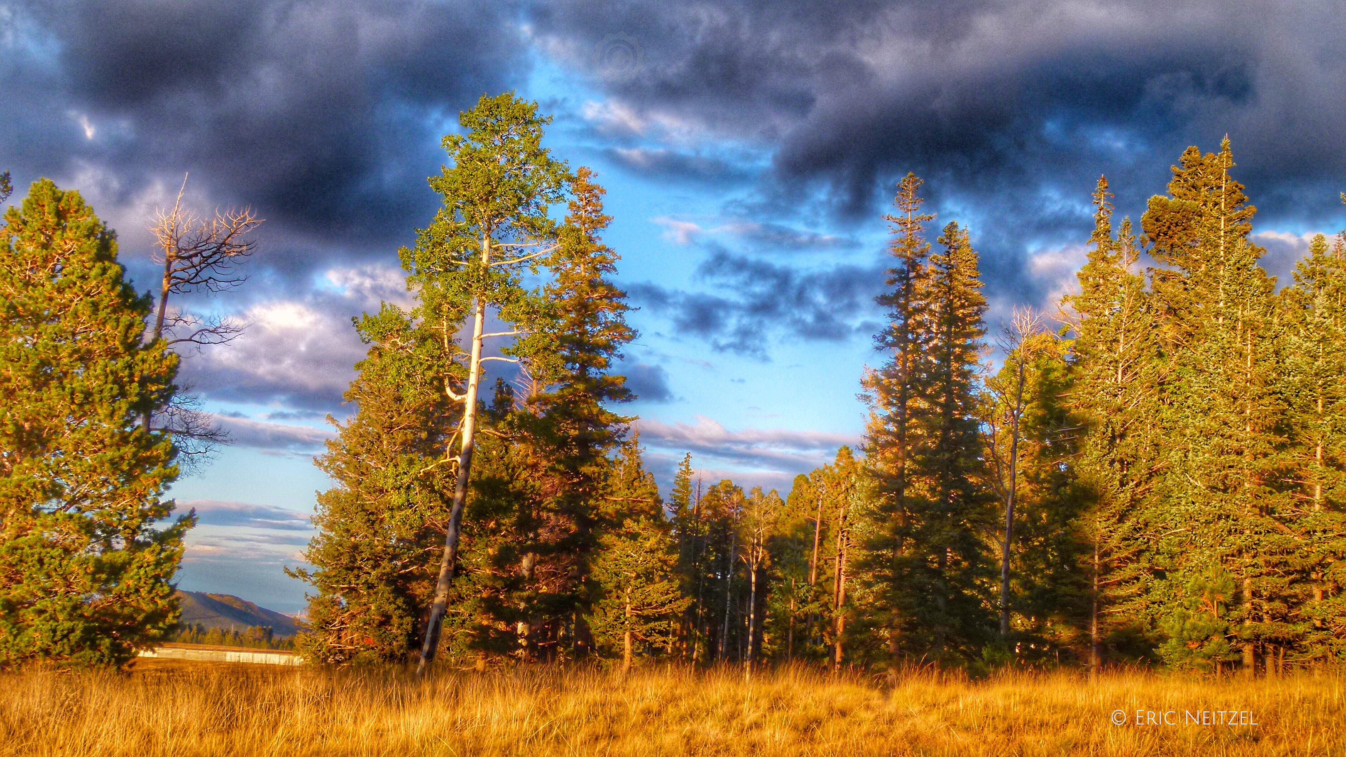
Fall in the White Mountains of Eastern Arizona
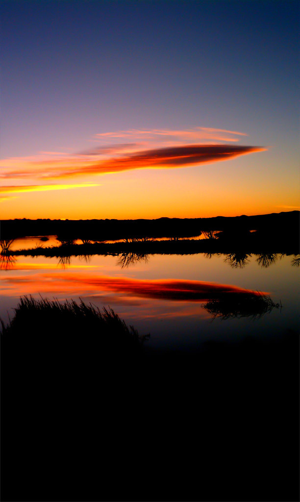
Fools Hollow Lake at Dusk
Topographic Map of Brown Ln, Show Low, AZ, USA
Find elevation by address:

Places near Brown Ln, Show Low, AZ, USA:
Fools Hollow Campground
775 Club Straight Ln
6995 Jacks Wild Rd
6995 Jacks Wild Rd
1440 N Bear Hollow Ln
881 N 43rd Way
6696 Circle C Ln
2970 W Black Oak Loop
1600 N 16th Ave
6668 Cherry Blossom Ln
6665 Ryan Ln
898 Mountain Trail
4320 Shaggy Bark Rd
Show Low, AZ, USA
2490 W Lodgepole Ln
2490 W Lodgepole Ln
AZ-, Show Low, AZ, USA
581 W Deuce Of Clubs
1840 W Snow Creek
1761 S Canyon Ridge Trail
Recent Searches:
- Elevation of Corso Fratelli Cairoli, 35, Macerata MC, Italy
- Elevation of Tallevast Rd, Sarasota, FL, USA
- Elevation of 4th St E, Sonoma, CA, USA
- Elevation of Black Hollow Rd, Pennsdale, PA, USA
- Elevation of Oakland Ave, Williamsport, PA, USA
- Elevation of Pedrógão Grande, Portugal
- Elevation of Klee Dr, Martinsburg, WV, USA
- Elevation of Via Roma, Pieranica CR, Italy
- Elevation of Tavkvetili Mountain, Georgia
- Elevation of Hartfords Bluff Cir, Mt Pleasant, SC, USA