Elevation of W Lodgepole Ln, Show Low, AZ, USA
Location: United States > Arizona > Navajo County > Show Low >
Longitude: -110.07146
Latitude: 34.2373908
Elevation: 1961m / 6434feet
Barometric Pressure: 80KPa
Elevation Map:
Satellite Map:
Related Photos:

Beneath the Bridge

“Chance is always powerful. Let your hook be always cast; in the pool where you least expect it, there will be a fish.” ~Ovid

Fool Hollow reflections

N716HT, S.L. AIRPORT, 6-15-14 (1)

Fall color and reflection, Walnut Creek, Pinetop, Arizona

Big Springs Environmental Study Area, Pinetop, Arizona

Blue Grosbeak
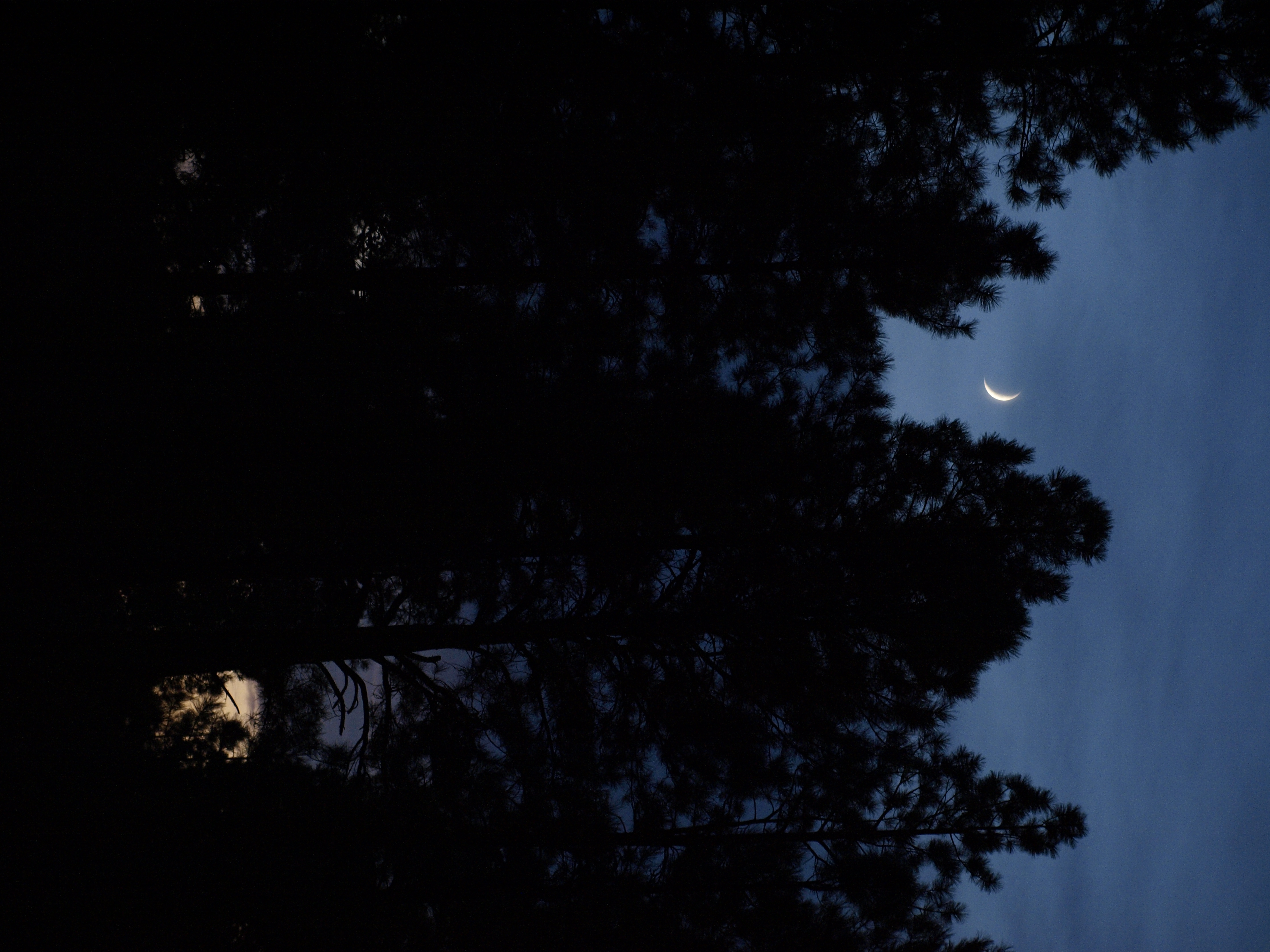
Moon over Pinetop, Arizona

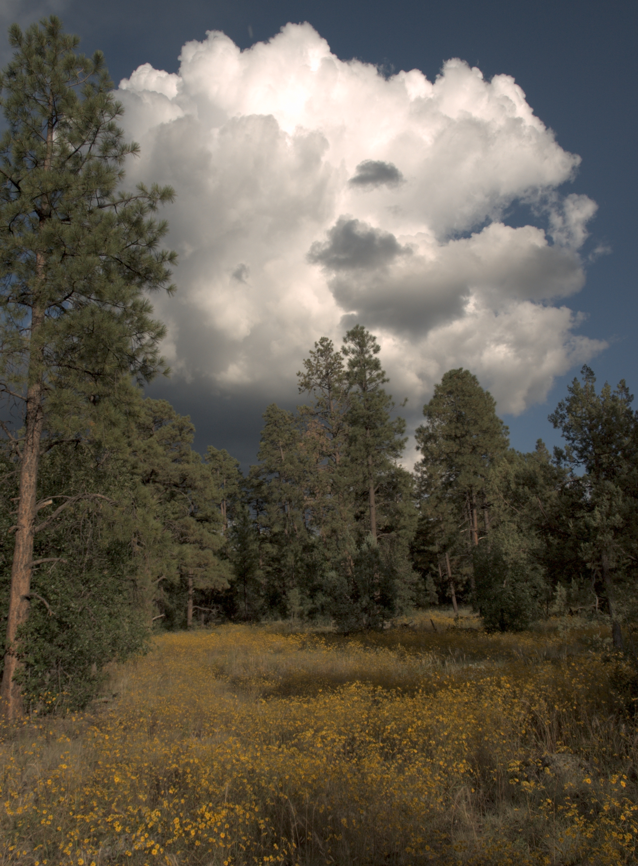
Fred's meadow (2)

Fred's meadow

View from my hotel room in Honolulu. #pentax645n #kodak #kodakektar #hawaiiwedding #hawaii #hawaiibeachwedding #hawaiiphotographer #minsonweddings #filmrocks #filmcowboy #filmisnotdead #filmkilleddigital #honolulu #iheartfilm @thefindlab

The view on halfway point of my trail run. #bison #showlow #arizona #instaaz #instagramaz #nature

Enjoying the view

Fool Hollow Lake Sunrise [Explored]

Sommer 2014 Urlaub Day 22-43a crop

Mountain Morning

Sommer 2014 Urlaub Day 22-72newII

Big Springs Environmental Study Area, 2011

Sunset, Linden Arizona

Panorama of Big Springs Environmental Study Area

Big Springs Environmental Study Area

Big Springs Environmental Study Area

Forest Sun
On the trail to Big Springs

Big Springs Environmental Study Area

Big Springs Environmental Study Area

Panorama of Big Springs, Pinetop

Panorama of Big Springs Environmental Study Area
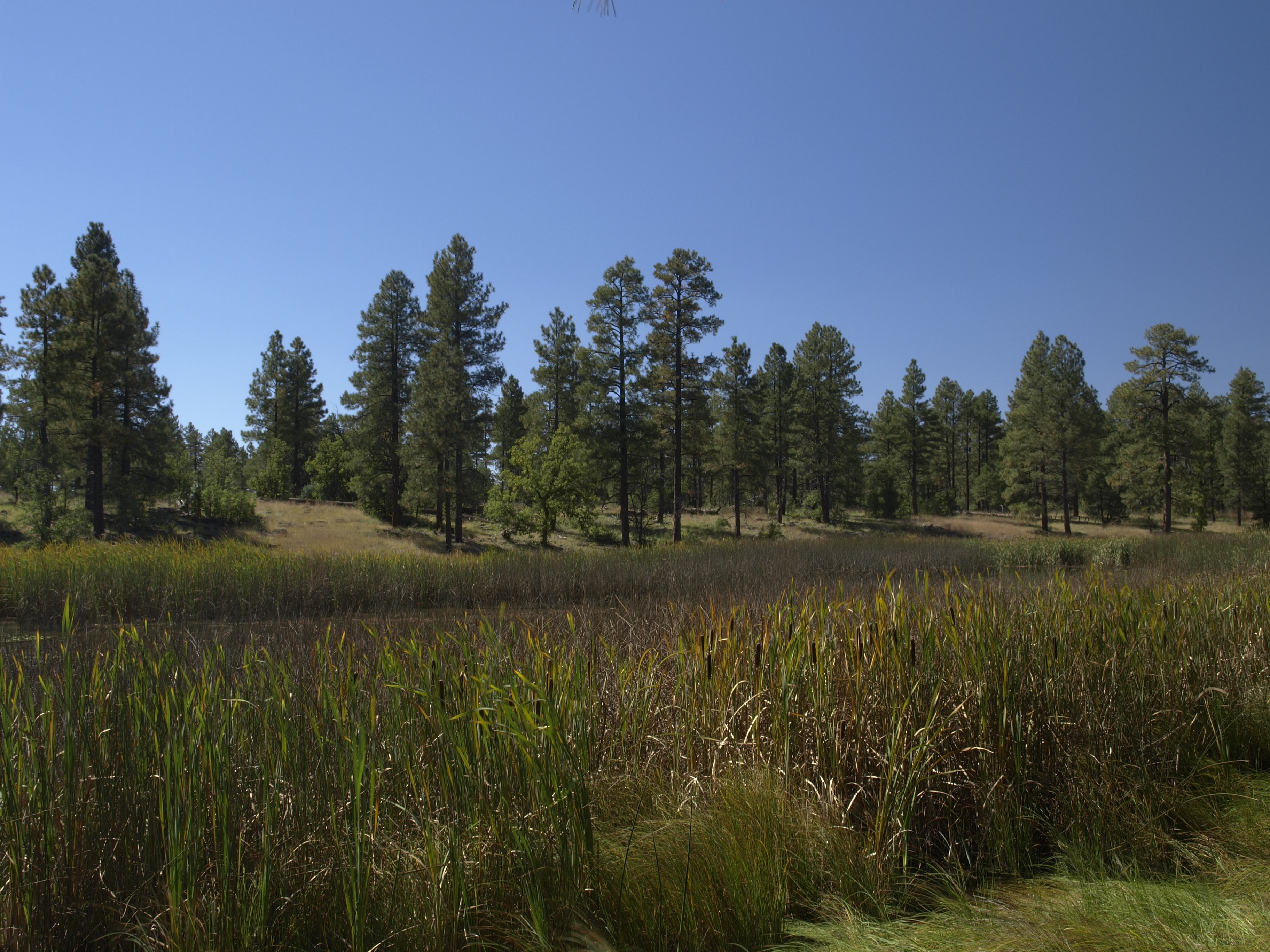
Big Springs Environmental Study Area

Big Springs Environmental Study Area, 2011

Golden Shores
Topographic Map of W Lodgepole Ln, Show Low, AZ, USA
Find elevation by address:

Places near W Lodgepole Ln, Show Low, AZ, USA:
2490 W Lodgepole Ln
1840 W Snow Creek
2970 W Black Oak Loop
4320 Shaggy Bark Rd
1761 S Canyon Ridge Trail
581 W Deuce Of Clubs
1840 S Snow Creek Ct
881 N 43rd Way
1440 N Bear Hollow Ln
4256 Silver Fox Way
1600 N 16th Ave
4509 Indian Trail
1440 S Bristlecone Dr
Fools Hollow Campground
2740 S Garretts Way
2701 Marshalls Run
1370 Pine Oaks Dr
Show Low
1501 E Woolford Rd
6995 Jacks Wild Rd
Recent Searches:
- Elevation of Corso Fratelli Cairoli, 35, Macerata MC, Italy
- Elevation of Tallevast Rd, Sarasota, FL, USA
- Elevation of 4th St E, Sonoma, CA, USA
- Elevation of Black Hollow Rd, Pennsdale, PA, USA
- Elevation of Oakland Ave, Williamsport, PA, USA
- Elevation of Pedrógão Grande, Portugal
- Elevation of Klee Dr, Martinsburg, WV, USA
- Elevation of Via Roma, Pieranica CR, Italy
- Elevation of Tavkvetili Mountain, Georgia
- Elevation of Hartfords Bluff Cir, Mt Pleasant, SC, USA