Elevation of An County Rd, Palestine, TX, USA
Location: United States > Texas > Anderson County > Palestine >
Longitude: -95.6216631
Latitude: 31.9333521
Elevation: 186m / 610feet
Barometric Pressure: 0KPa
Related Photos:

'Time Travelin Cowboys'

The Alter

DSCN2463.JPG
DSCN2439.JPG
DSCN2441.JPG
DSCN2452.JPG

Ropin Time!

Rounding The Bend

"Thanks Y'all"

Bronc Bustin

Flag Bearers
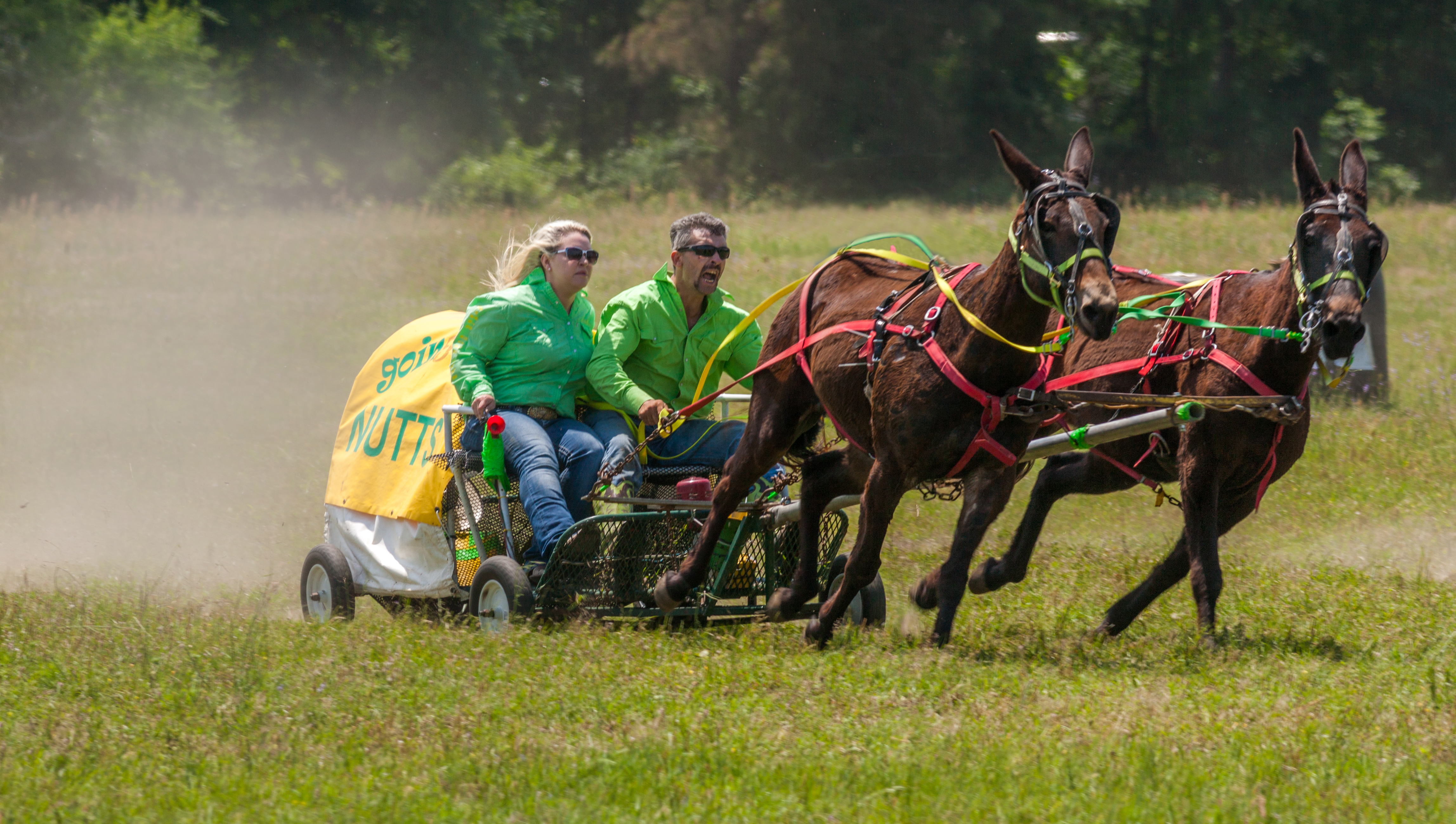
'Goin Nutts'

'Whooooh!

Flag Girl

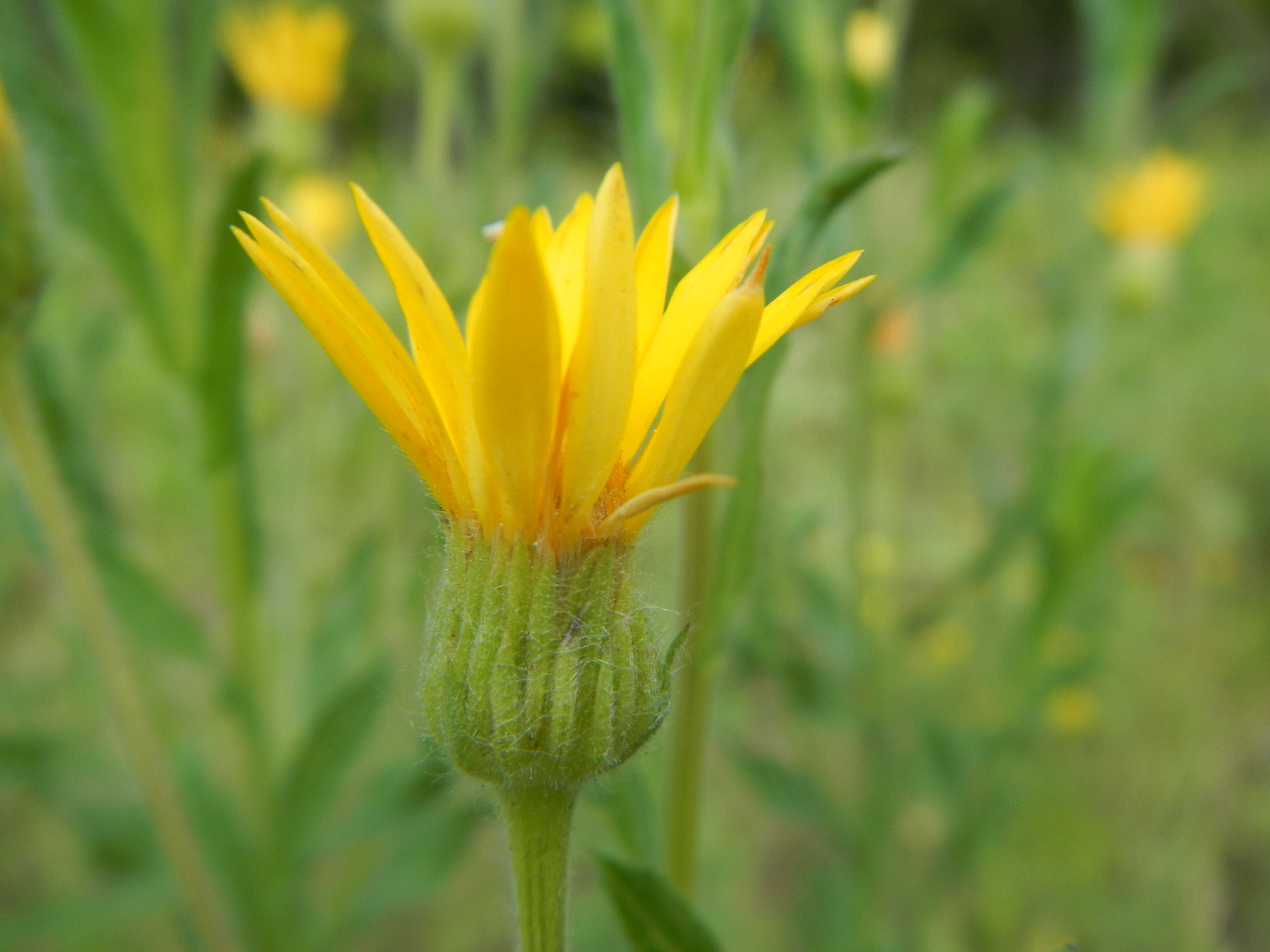
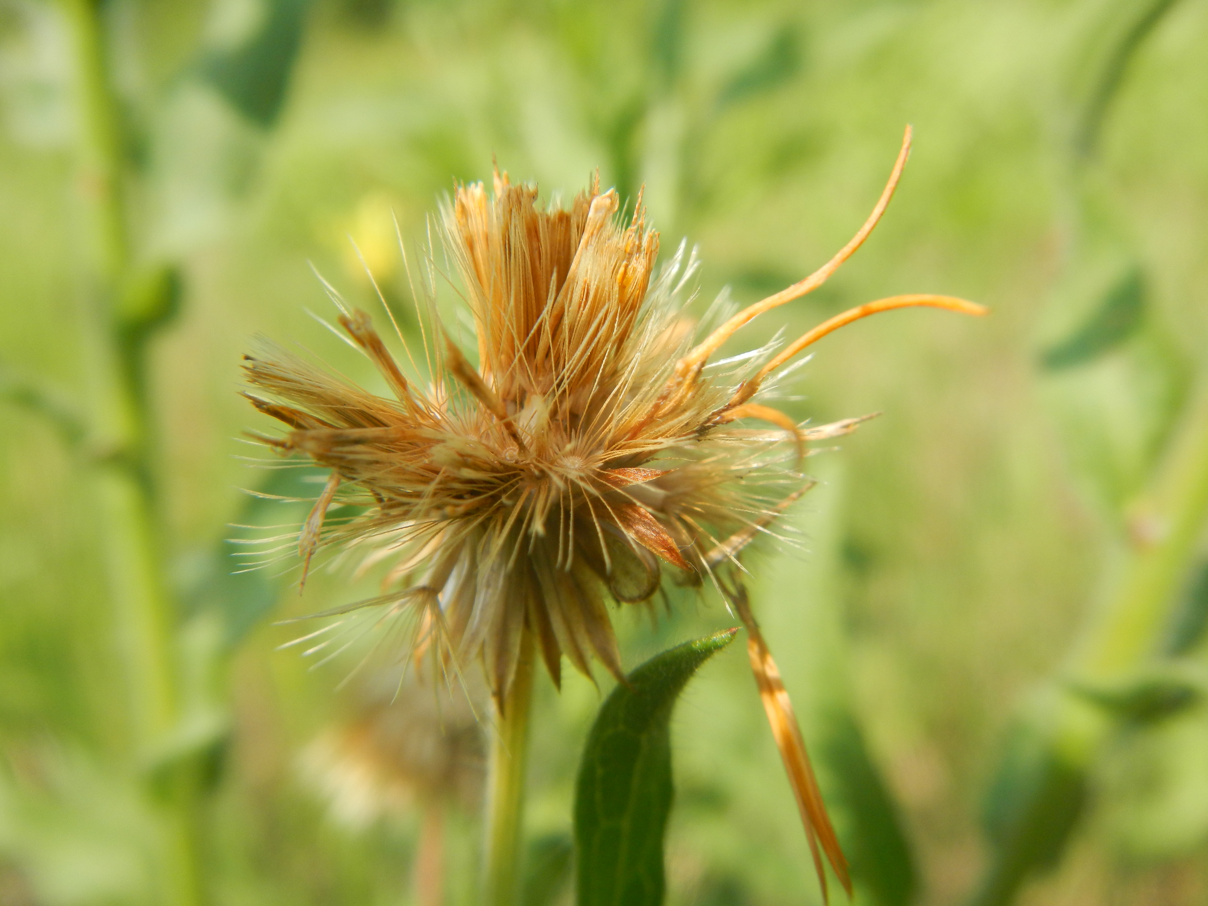
Flowering Dogwood. Davey Park

Moonshine. Dogwood Blossoms
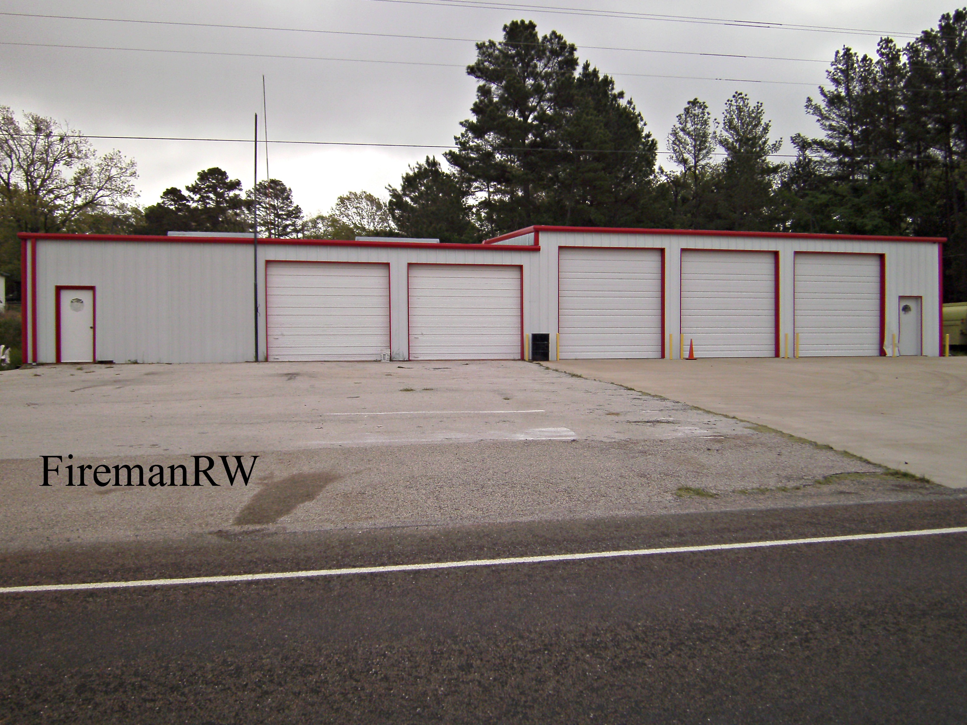
Bradford, TX VFD
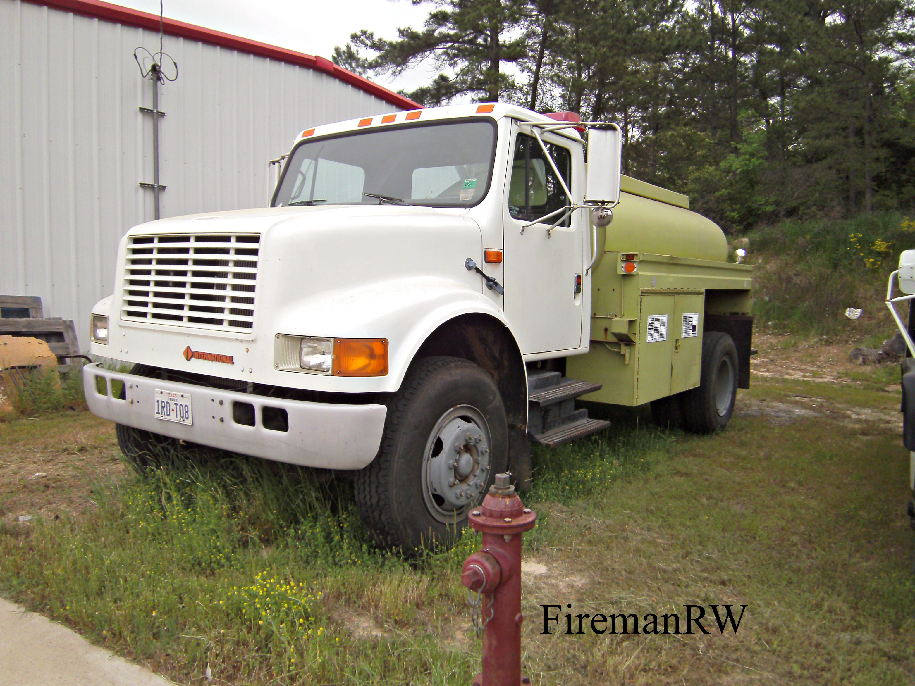
Bradford, TX VFD
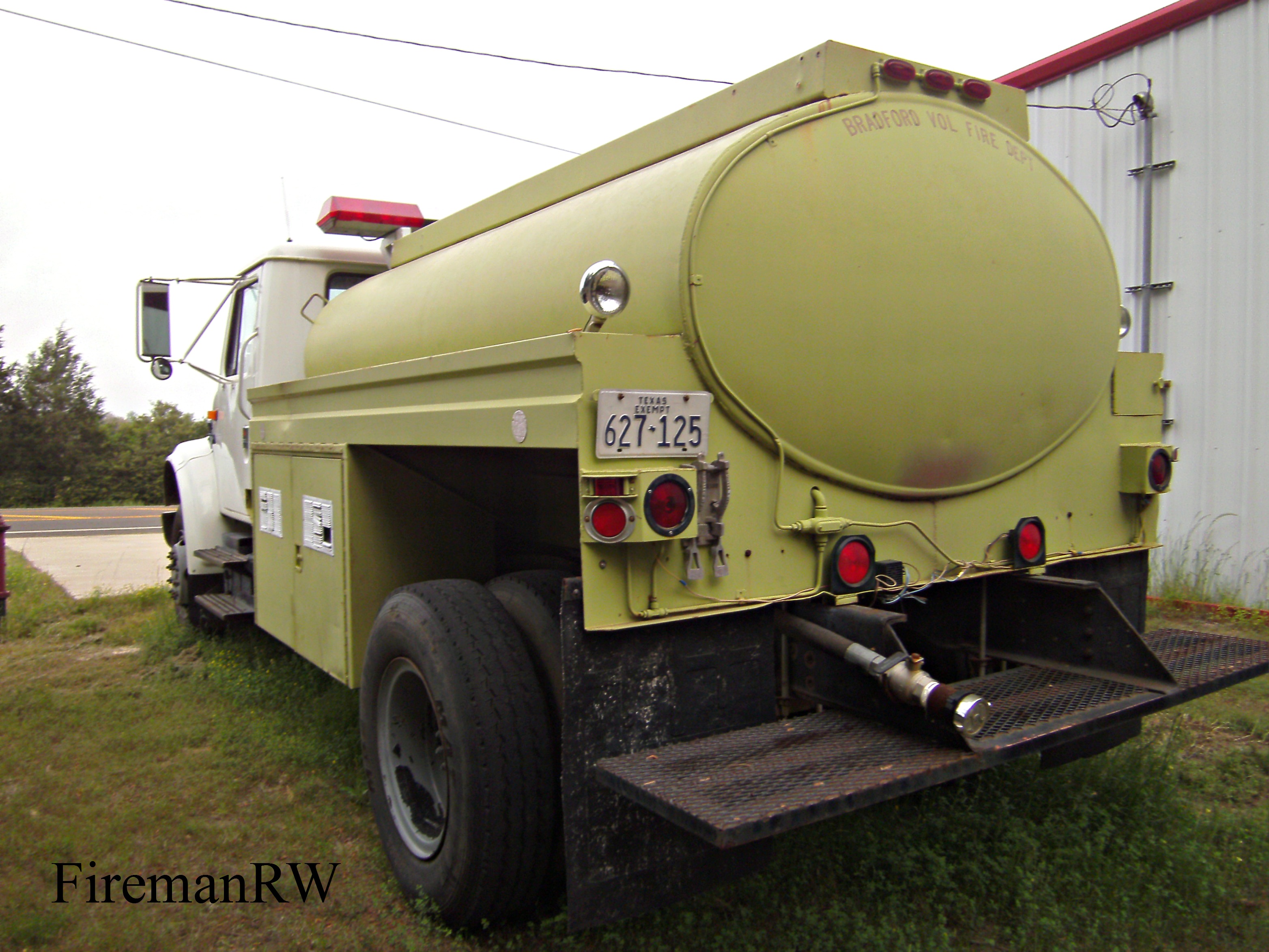
Bradford, TX VFD

Bradford, TX VFD
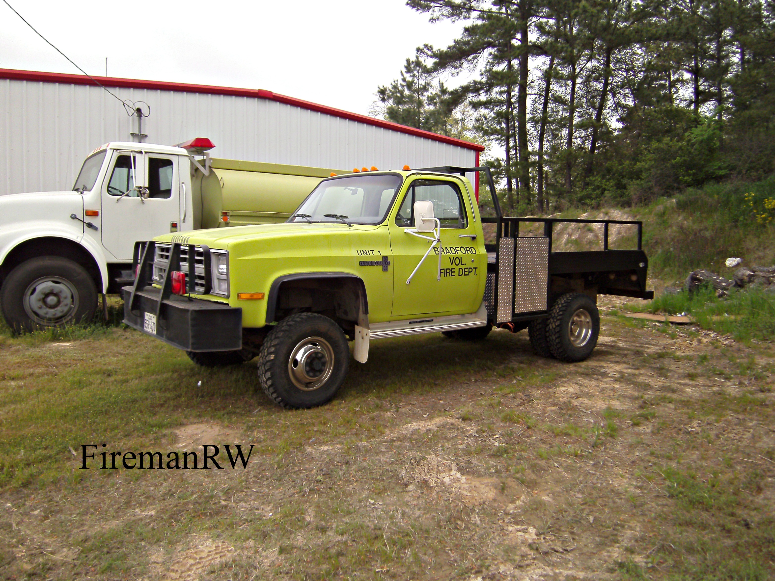
Bradford, TX VFD
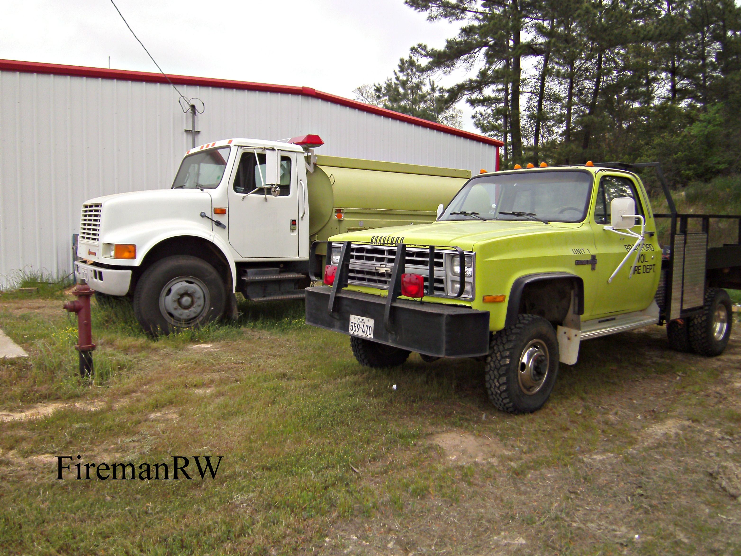
Bradford, TX VFD
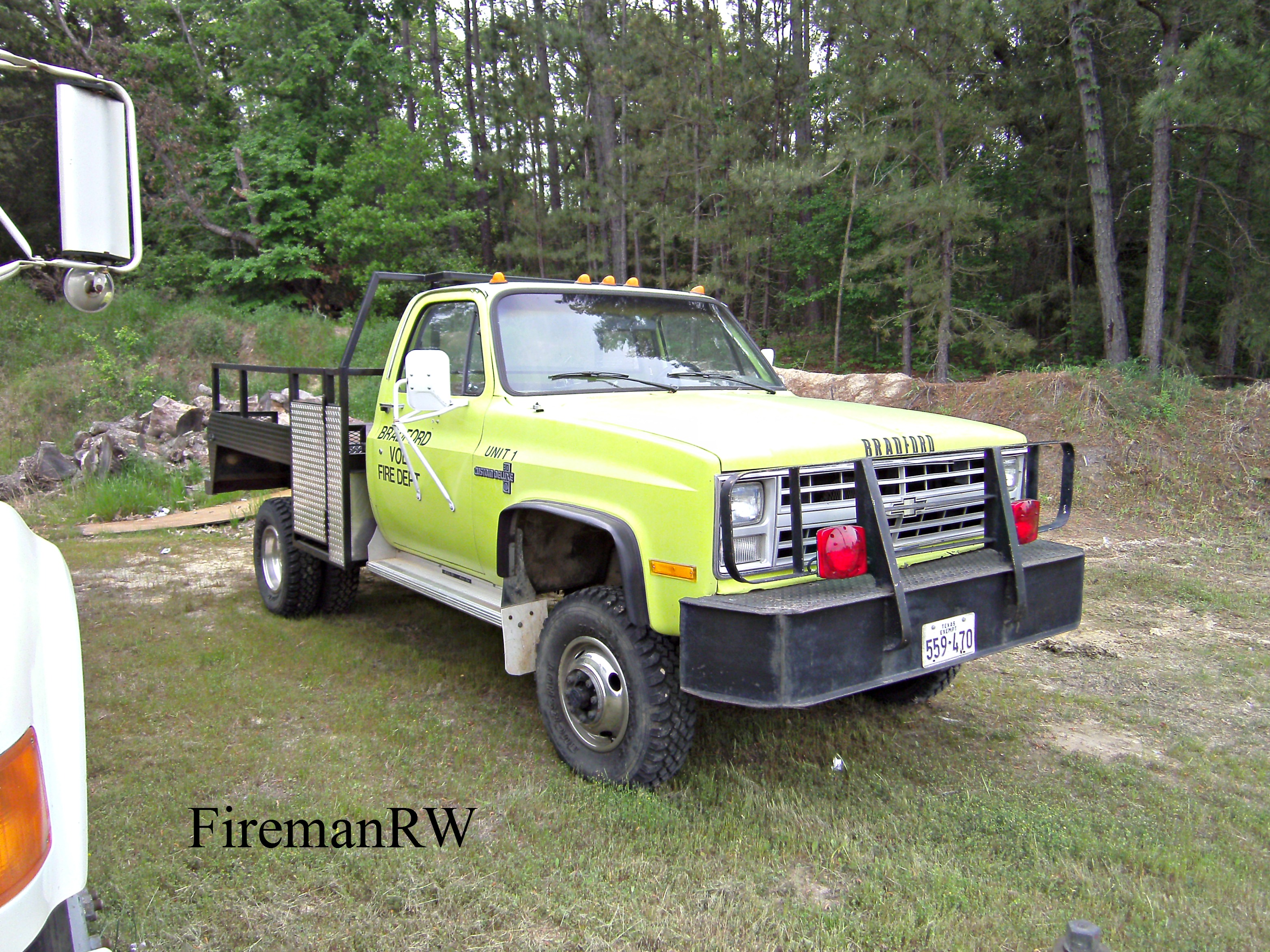
Bradford, TX VFD
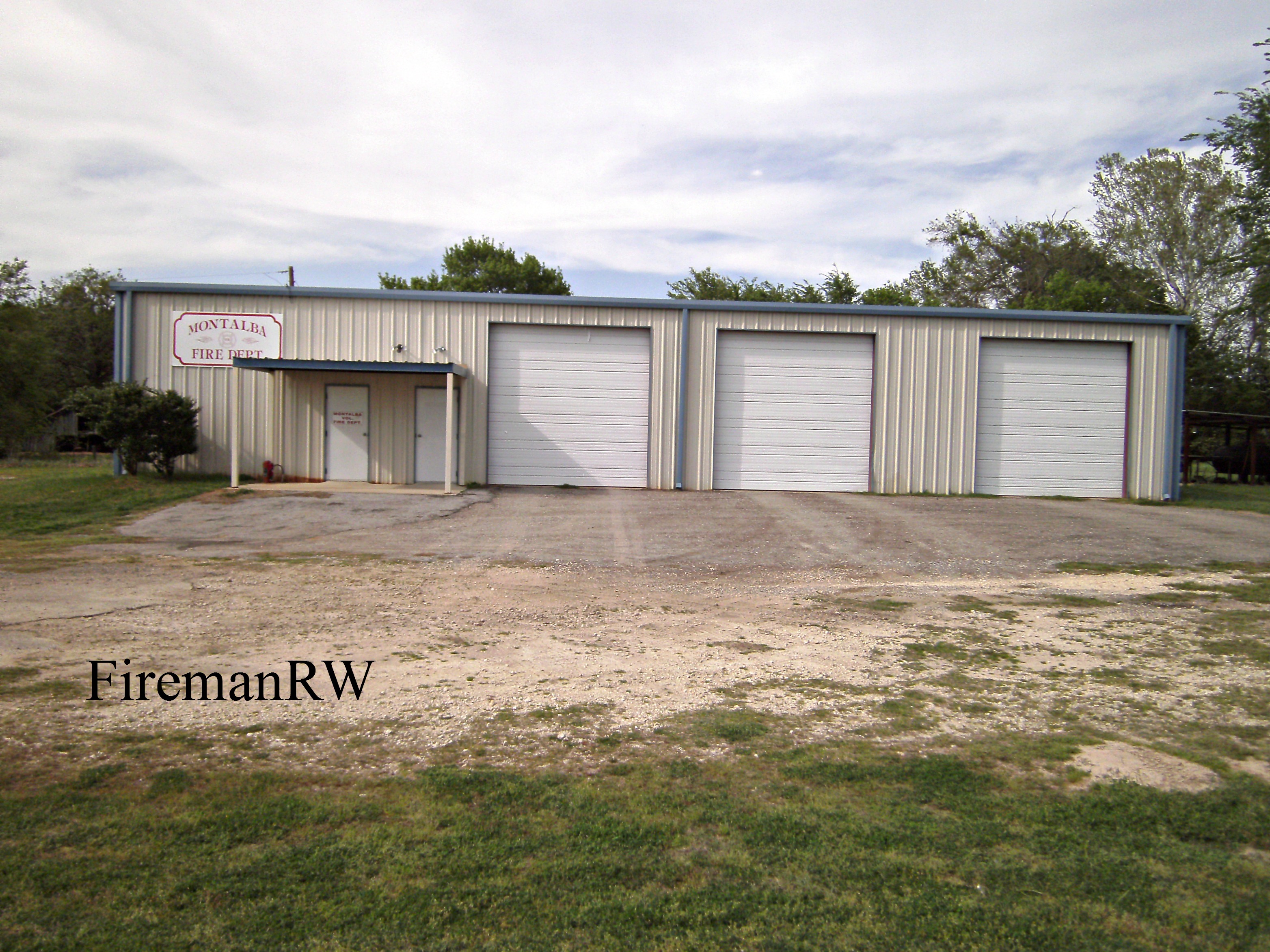
Montalba, TX VFD

C'mon....c'mon....!

Sabor_a_Pasion_TX-3
Topographic Map of An County Rd, Palestine, TX, USA
Find elevation by address:

Places near An County Rd, Palestine, TX, USA:
12851 Fm 315
Pert
Pine Dunes Golf Course
Neches
Poynor
Frankston
4472 E Us Hwy 84
FM, Frankston, TX, USA
1335 Acr 150
Berryville
3 Points Drive
10678 Circle Point
11575 Snap Roll Dr
240 Acr 391
US-84, Palestine, TX, USA
Creek, Jacksonville, TX, USA
1374 Fm2419
County Road 4325
US-84, Palestine, TX, USA
102 Dogwood Lakes Cir
Recent Searches:
- Elevation of Clifton Down, Clifton, Bristol, City of Bristol, England, BS8 3HU, United Kingdom
- Elevation map of Auvergne-Rhône-Alpes, France
- Elevation map of Upper Savoy, Auvergne-Rhône-Alpes, France
- Elevation of Chamonix-Mont-Blanc, Upper Savoy, Auvergne-Rhône-Alpes, France
- Elevation of 908, Northwood Drive, Bridge Field, Chesapeake, Virginia, 23322, USA
- Elevation map of Nagano Prefecture, Japan
- Elevation of 587, Bascule Drive, Oakdale, Stanislaus County, California, 95361, USA
- Elevation of Stadion Wankdorf, Sempachstrasse, Breitfeld, Bern, Bern-Mittelland administrative district, Bern, 3014, Switzerland
- Elevation of Z024, 76, Emil-von-Behring-Straße, Marbach, Marburg, Landkreis Marburg-Biedenkopf, Hesse, 35041, Germany
- Elevation of Gaskill Road, Hunts Cross, Liverpool, England, L24 9PH, United Kingdom
- Elevation of Speke, Liverpool, England, L24 9HD, United Kingdom
- Elevation of Seqirus, 475, Green Oaks Parkway, Holly Springs, Wake County, North Carolina, 27540, USA
- Elevation of Pasing, Munich, Bavaria, 81241, Germany
- Elevation of 24, Auburn Bay Crescent SE, Auburn Bay, Calgary, Alberta, T3M 0A6, Canada
- Elevation of Denver, 2314, Arapahoe Street, Five Points, Denver, Colorado, 80205, USA
- Elevation of Community of the Beatitudes, 2924, West 43rd Avenue, Sunnyside, Denver, Colorado, 80211, USA
- Elevation map of Litang County, Sichuan, China
- Elevation map of Madoi County, Qinghai, China
- Elevation of 3314, Ohio State Route 114, Payne, Paulding County, Ohio, 45880, USA
- Elevation of Sarahills Drive, Saratoga, Santa Clara County, California, 95070, USA