Elevation of Pine Dunes Golf Course, Private Rd, Frankston, TX, USA
Location: United States > Texas > Henderson County > Frankston >
Longitude: -95.539009
Latitude: 31.978328
Elevation: 158m / 518feet
Barometric Pressure: 99KPa
Elevation Map:
Satellite Map:
Related Photos:

'Back From The Future'

The Alter

Miss Maggie

DSCN2439.JPG

DSCN2452.JPG

DSCN2441.JPG
Abandoned Through Truss Railroad Bridge over Neches River, Cuney, Texas 1502131128abw

Abandoned Through Truss Railroad Bridge over Neches River, Cuney, Texas 1502131123abw

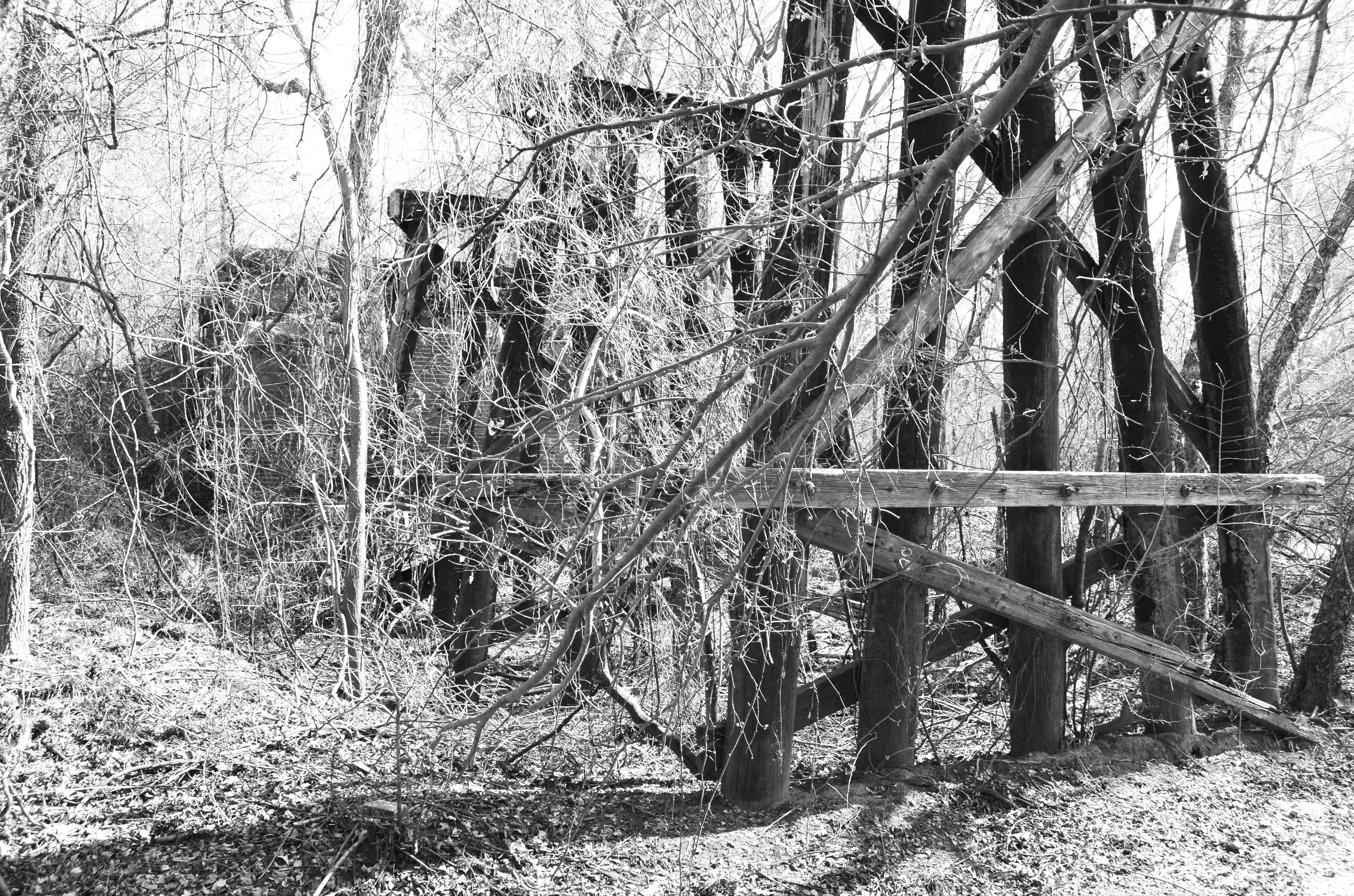
Abandoned Railroad Trestle over Jordan Creek & CR 3313, Cuney, Texas 1502131209abw

#SP #TNO #Cuney T&NO subsidiary of #SouthernPacific #rsa_theyards #railroading

DSCN2463.JPG
Topographic Map of Pine Dunes Golf Course, Private Rd, Frankston, TX, USA
Find elevation by address:

Places near Pine Dunes Golf Course, Private Rd, Frankston, TX, USA:
Pert
Frankston
12851 Fm 315
An County Rd, Palestine, TX, USA
Poynor
Neches
Berryville
11575 Snap Roll Dr
3 Points Drive
Creek, Jacksonville, TX, USA
10678 Circle Point
FM, Frankston, TX, USA
102 Dogwood Lakes Cir
333 Crockett
Ravenwood Dr, Flint, TX, USA
County Road 4325
4722 Sunbird Dr
20027 Pinewilde Rd
Co Rd, Bullard, TX, USA
4472 E Us Hwy 84
Recent Searches:
- Elevation of Corso Fratelli Cairoli, 35, Macerata MC, Italy
- Elevation of Tallevast Rd, Sarasota, FL, USA
- Elevation of 4th St E, Sonoma, CA, USA
- Elevation of Black Hollow Rd, Pennsdale, PA, USA
- Elevation of Oakland Ave, Williamsport, PA, USA
- Elevation of Pedrógão Grande, Portugal
- Elevation of Klee Dr, Martinsburg, WV, USA
- Elevation of Via Roma, Pieranica CR, Italy
- Elevation of Tavkvetili Mountain, Georgia
- Elevation of Hartfords Bluff Cir, Mt Pleasant, SC, USA