Elevation of Alder Rd, Crestline, CA, USA

Location: United States > California > San Bernardino County > Crestline >

Longitude: -117.28246

Latitude: 34.2420713

Elevation: 1397m / 4583feet

Barometric Pressure: 86KPa

Elevation Map:

elevation map of Alder Rd, Crestline, CA, USA

Satellite Map:

Satellite map of Alder Rd, Crestline, CA, USA

Related Photos:

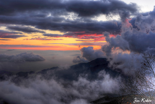
california sunset mist mountains green clouds landscape nikon hills arrowhead sanbernardino rimoftheworld jameshale jimhale shutterjack
Islands in the Mist
trains railroads unionpacific up locomotive emd sd402 gp30b sd45 cajonpass summit california
Summit at Dusk
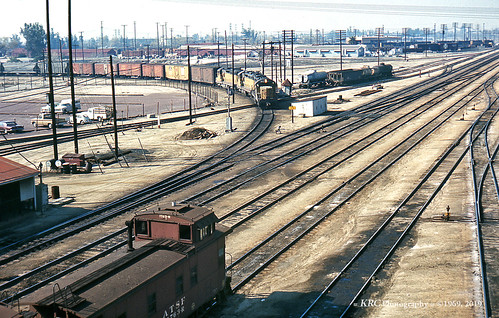
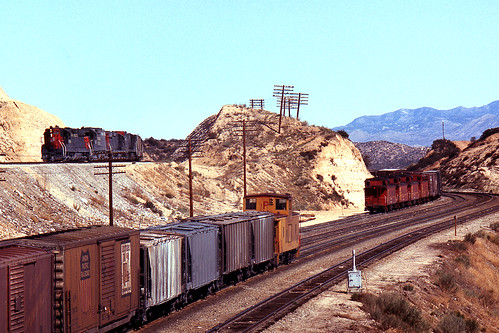
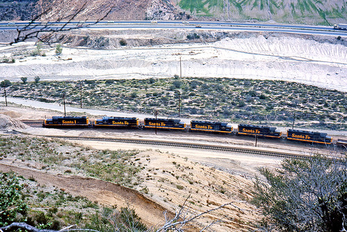
trains railroads unionpacific up santafe atsf locomotive emd sd24 caboose sanbernardino california
Coming Off the Short Way
california wild summer baby wet water girl hat swimming fun infant crestline cutie socal recreation bathingsuit waterpark 8077 lakegregory richgreenephotographycom
What A Blast!
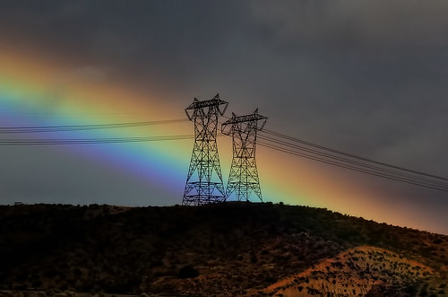
california ca travel usa storm tower nature contrast photoshop canon landscape photo interestingness interesting rainbow day photographer cs2 january picture line explore socal adobe summit hesperia southerncalifornia powerpole 2012 adjust infocus cajonpass denoise 60d topazlabs photographersnaturecom davetoussaint
Rainbow Power
SD Trucks In The Shops Over The Pit
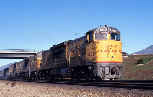
california up trains unionpacific ge railroads sanbernardino cajonpass u50c
A Face Only UP Could Love
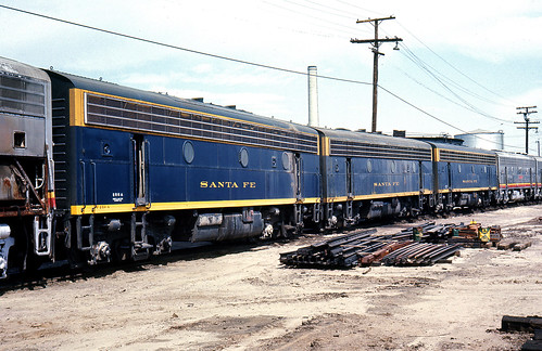
california santafe trains shops rebuild railroads sanbernardino emd atsf rce f7b
Not So Beautiful Boosters
nikon san running springs d200 bernardino 2870mmf28d aplusphoto flickrlovers
A Mixture of Fog and Clouds
california old food signs green texture vintage typography lights flickr neon grunge illumination rusty retro queens signage font grungy smugmug sanbernardino explored canon5dmarkii marcshurphotographycom marcshur
Queen's Fine Food
california santafe up trains highland sp summit unionpacific southernpacific espee atsf
Horseshoes and Hand Grenades
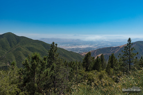
august summer california sanbernardinomountains sanbernardinonationalforest applefire nikond750 afternoon sunny blue sky tamron2470mmf28 runningsprings
View From Running Springs
mountain la los crestline view angeles vibrant serene
Mountain Serenity
nikon san running springs d200 bernardino 2870mmf28d flickrlovers “nikonflickraward”
Above the Clouds
california santafe trains alco emd atsf cajonpass sd24 rsd15 cozydell
14,400
blue mountain grass bench view vibrant crest hills clear rolling
Mountain-Woman
wood bw panorama white mountain black girl bench hair high view dynamic range hdr
A Beautiful View With A Beautiful Girl
trains sbcusa
Snow caps behind
california snow mountains lumix panasonic socal southerncalifornia sanbernardino dmczs50
San Bernardino Mountains
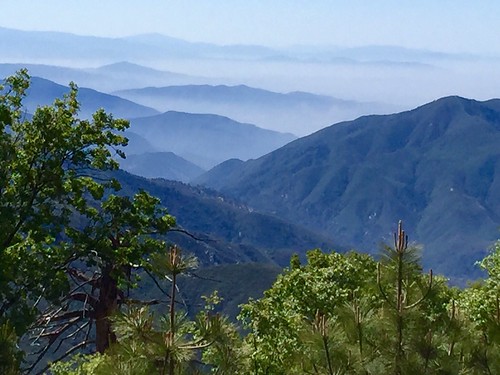
trees sky nature canon landscape outdoors view hiking powershot boulders pines southerncalifornia hps lakearrowhead s100 sanbernardinocounty sanbernardinonationalforest sanbernardinomountains highclouds hundredpeakssection mountmarielouise
South from Marie Louise
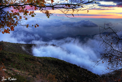
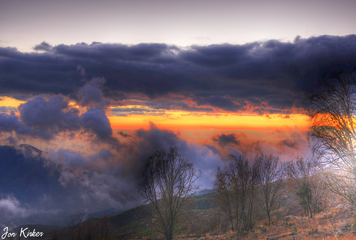
nikon san running springs d200 bernardino 2870mmf28d aplusphoto flickrlovers
Thanksgiving Sunset HDR
california sanbernardinomountains topoftheworldhighway
Top of the World Highway, California
california usa mountains fence unitedstates pass hesperia cajon
Cajon Pass, California
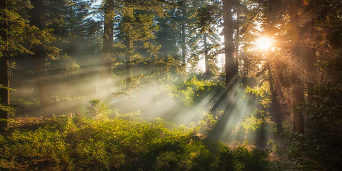
morning camping mountain fern tree nature pine forest dawn twilight nikon floor pacific smoke summit rays dogwood goldenhour crepuscular sanbernardino treadlightly angellight jameshale jimhale shutterjack
Beauty from Ashes
california longexposure trees sunset summer sky lake water forest reflections evening rocks crestline tranquil balmy 8101 lakegregory sanbernadinonationalforest richgreenephotographycom
Lake Gregory Reflections
10k sanbernardino starinmotion sheriffs10ktrailrun
Sheriff's 10K Trail Run
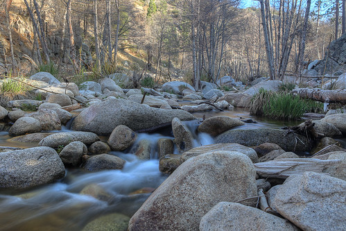
california nature landscape woods stream filter nd deepcreek bolders sanbernardinomountains paulknight quixoteimagescom
110-365 Fishing Reconnaissance
bnsf bnsfrailway burlingtonnorthernsantafe bnsf4011 bluecutca cajonsubdivision cajonpass intermodal sanbernardinomountains c449w dash944cw dash9 gec449w ge gelocomotive gelocomotives generalelectric railfanatlas widecab widecabs california canoneosrebelt6i canon omaha orange pullmangreen
SoCal Winter
california ca railroad travel usa mountain nature train photoshop canon landscape photo interestingness google interesting track photographer sub picture clarity explore socal adobe april getty hesperia southerncalifornia signal bnsf adjust eastbound infocus 2014 intermodal cs6 summitvalley denoise 60d topazlabs photographersnaturecom davetoussaint cajonsubdivision
Eastbound through Summit Valley
sanbernardino california unitedstatesofamerica us
Metrolink San Bernardino Downtown Station
california us unitedstates hesperia silverwoodlake
Silverwood Lake
blue up pacific cut union pass cajon sd70m sd70ah
UP 8831
california road panorama nature landscape nikon alone desert sigma lonely 18250mm d5100
Deserted highway
california road ca travel light usa cloud storm color nature photoshop canon landscape photo interestingness interesting rainbow route66 december day photographer cs2 pavement picture historic explore socal adobe southerncalifornia blend adjust infocus inlandempire 2011 devore digitalcameraclub denoise 60d topazlabs keenbrook photographersnaturecom davetoussaint mygearandme mygearandmepremium mygearandmebronze mygearandmesilver mygearandmegold me2youphotographylevel2 me2youphotographylevel3 me2youphotographylevel1 cajopass
Rainbow over Historic Route 66
glenhelen up unionpacific
UP 2720
dng
Route 66
lakearrowhead sanbernardinomountains lakes lakearrowheadvillage dgrahamphoto docks summer usa landscapes lakescenes
Lake Arrowhead Village, CA 7-15-17
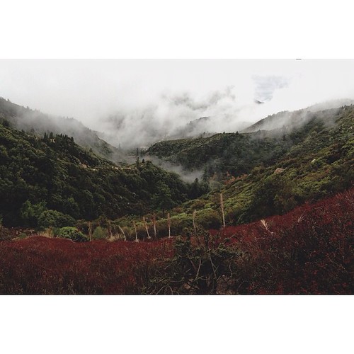
square squareformat iphoneography instagramapp uploaded:by=instagram foursquare:venue=4c37b02d2c8020a105838900
San Bernardino National Forest, California
california deepcreek hotsprings deepcreekhotsprings
Morning Creek
lakearrowhead california unitedstates us canon clouds sunset travel
Sunset over Lake Arrowhead